The best road cycling routes around Schlieren
4.5
(2512)
50,340
riders
456
rides
Road cycling around Schlieren, located in the Limmat Valley within the Canton of Zurich, Switzerland, offers a diverse landscape for cyclists. The region features rolling hills and the picturesque Limmat River, providing a mix of urban proximity and natural scenery. Routes often boast mostly well-paved surfaces, though some segments may include unpaved terrain. This area presents a variety of road cycling options, from moderate rides to more challenging excursions.
Best road cycling routes around Schlieren
- The most popular road cycling…
Last updated: October 11, 2026
4.0
(2)
82
riders
27.2km
01:10
170m
170m
Moderate road ride. Great for any fitness level. Some segments of this route may be unpaved and difficult to ride.
5.0
(2)
28
riders
78.7km
04:03
1,260m
1,260m
Hard road ride. Very good fitness required. Some segments of this route may be unpaved and difficult to ride.

25
riders
81.6km
03:42
830m
830m
Moderate road ride. Good fitness required. Some segments of this route may be unpaved and difficult to ride.
5.0
(1)
29
riders
101km
05:32
1,870m
1,870m
Hard road ride. Very good fitness required. Mostly well-paved surfaces and easy to ride.
5.0
(1)
23
riders
Moderate road ride. Good fitness required. Some segments of this route may be unpaved and difficult to ride.
Get access to more routes and recommendations from other explorers.
Already have an account?
Our route recommendations are based on thousands of hikes, rides, and runs completed by other people on komoot.
Start today with a free account
Your next adventure awaits.

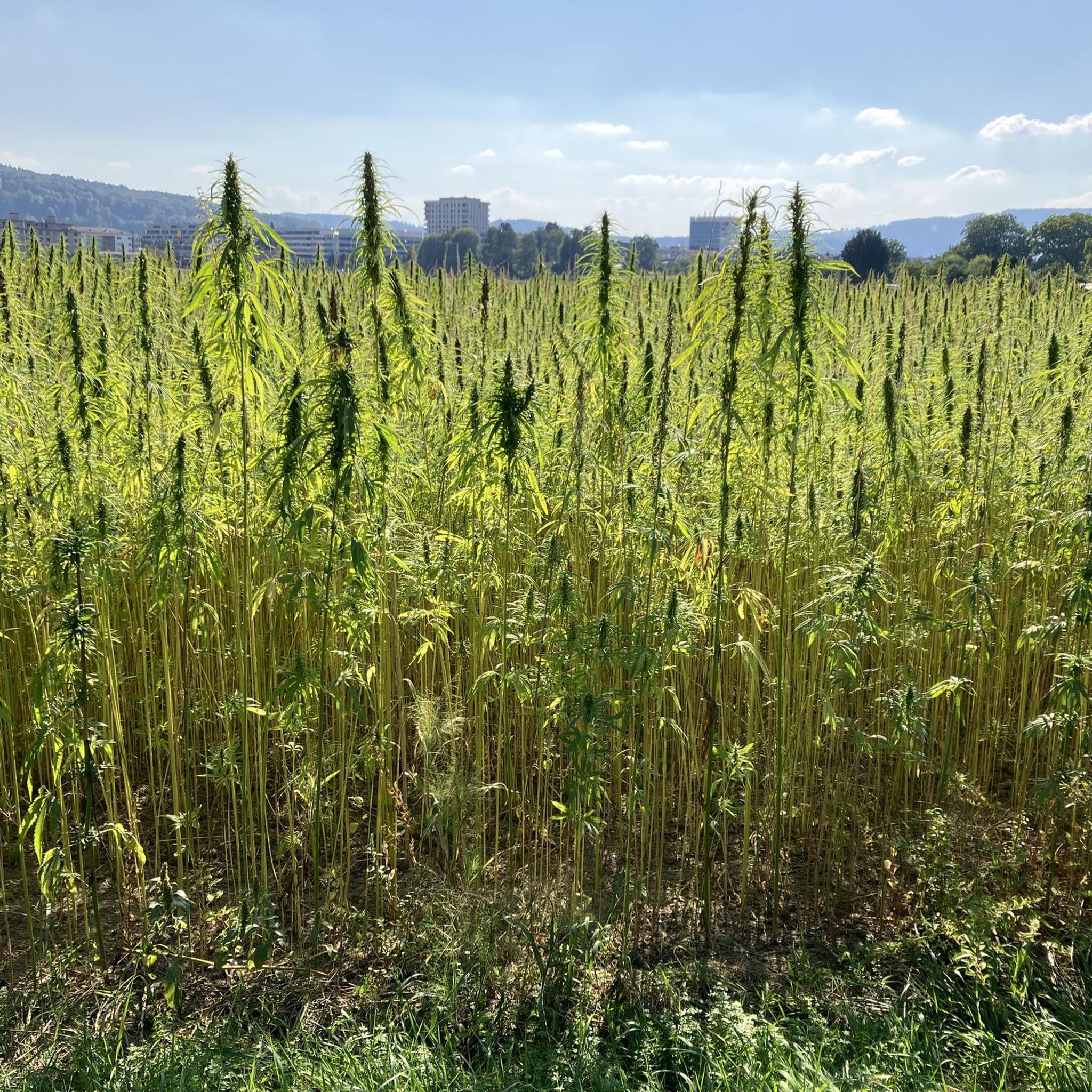
Other adventures around Schlieren

Tips from the Community

Wonderful view over the Rhine
0
0

Arrived at the summit of the Bürersteig (550 m above sea level), a versatile hub for cyclists and mountain bikers in the Jurapark Aargau opens up. Those who have mastered the ascent from Mönthal or Gansingen do not have to go directly down the fast descent to Remigen – there is plenty to discover at the top: Discover military history: The Bürersteig fortified position Directly in the area of the pass and in the adjacent forest areas, you will encounter historical concrete structures from the Second World War and the Cold War. Purpose of the facility: The pass was part of the Swiss Army's Bürersteig fortified position. Its mission was to block a potential enemy advance from the Rhine Valley across the Jura towards the Mittelland and the Aare Valley.
1
0

The first Aare bridge near Stilli was built in 1903 by the canton of Aargau. Renewed and widened in 1970. In the 13th/14th century, a bridge already crossed the Aare near Freudenau Castle (approx. 200 meters upstream).
0
0
Pleasant gradient, easy to manage. Beware, we are not alone on the road. Especially when going downhill. The route is also popular with motorcyclists and cars, especially on weekends and holidays when the weather is nice.
1
0

A pleasantly wonderful ascent
1
0

The lake is called Hallwilersee and lies in the valley. From the cycling route, you have a good view of this lake, further south the Baldeggersee, and even further on the horizon the Alps.
0
0

https://youtu.be/aH3Vsp5TR_4?si=kZCujKtzI6TV43Xr Dreamlike beautiful 🤩
0
0
https://youtu.be/6lf6RiTHmgM?si=IonFplAlrbIz09Kk Wonderfully beautiful 🤩
0
0
Frequently Asked Questions
What kind of terrain and difficulty can I expect on road cycling routes around Schlieren?
Road cycling around Schlieren offers a diverse landscape with rolling hills and the picturesque Limmat River. You'll find a mix of urban proximity and natural scenery. Routes often feature mostly well-paved surfaces, suitable for smooth riding, though some segments might include unpaved and more challenging terrain. The region caters to various fitness levels, from moderate rides to more demanding excursions requiring very good fitness.
Are there challenging road cycling routes for experienced cyclists in Schlieren?
Yes, Schlieren offers several challenging routes for experienced road cyclists. For instance, the Aare Bridge Brugg – Railway bridge near Brugg loop from Schlieren is a demanding 101 km route with over 1,800 meters of elevation gain. Another difficult option is the Richensee – Hallwyl Castle loop from Schlieren, covering 78.6 km with over 1,200 meters of elevation.
What natural features and viewpoints can I discover along the road cycling routes?
Many routes in the Schlieren area offer scenic views. You can enjoy the picturesque Limmat Valley and the Limmat River. Some routes, like the 'View of the Alps from Waldegg loop', provide breathtaking panoramic views of the Alps. The nearby Uetliberg also offers expansive vistas of Zurich, the Alps, and even the Black Forest. You might also encounter natural monuments like Egelsee or Flachsee.
Are there any moderate road cycling routes suitable for a less strenuous ride?
Absolutely. Schlieren has several moderate routes. The Limmattal Vineyards – View of Mandach from Rotberg loop from Schlieren is a moderate 72.3 km ride through vineyards. Another good option is the Bremgarten Old Town – Flachsee loop from Schlieren, which is 67.8 km with 630 meters of elevation.
What is the best time of year for road cycling in Schlieren?
Schlieren's temperate climate generally allows for year-round outdoor engagement. However, for optimal road cycling conditions, spring through autumn typically offers the most pleasant weather. During these seasons, you can best enjoy the scenic Limmat Valley, rolling hills, and clear views of the Alps.
How can I access the road cycling routes, and is parking available?
Schlieren benefits from excellent public transport links, especially to nearby Zurich, making it accessible as a base for outdoor activities. While specific parking details for each route vary, the region's urban convenience suggests parking options are generally available in and around Schlieren. Many routes are designed as loops, often starting and ending in Schlieren itself, simplifying logistics.
Are there circular road cycling routes around Schlieren?
Yes, many of the road cycling routes around Schlieren are designed as loops, allowing you to start and finish at the same point. Examples include the Aare Bridge Brugg – Railway bridge near Brugg loop and the View of the Alps from Waldegg loop, providing convenient circular journeys.
What do other road cyclists say about the routes in Schlieren?
The road cycling routes in Schlieren are highly rated by the komoot community, with an average score of 4.6 stars from over 4 reviews. More than 145 road cyclists have used komoot to explore Schlieren's varied terrain, often praising the scenic Limmat Valley, rolling hills, and the diverse options for different ability levels.
Are there any routes that offer views of the Alps?
Yes, the region around Schlieren is known for offering stunning views of the Alps. Specifically, the View of the Alps from Waldegg loop from Schlieren is designed to provide breathtaking panoramic vistas of the Alps, making it a popular choice for scenic rides.
Can I find places to stop for refreshments or food along the road cycling routes?
While specific cafes or pubs directly on every route are not detailed, Schlieren is a modern urban center with diverse amenities. Given its proximity to Zurich and other towns, you can expect to find various options for refreshments, cafes, and restaurants in the towns and villages you pass through or near the start/end points of your rides.
How many road cycling routes are available around Schlieren?
There are over 10 road cycling routes available around Schlieren, catering to various skill levels. These include 7 moderate routes and 5 difficult routes, ensuring options for both casual riders and those seeking a significant challenge.
Most popular routes around Schlieren
Most popular attractions around Schlieren

Get inspired with the komoot mobile app


Explore more
Browse the best Road cycling routes in other regions.
