The best mountain hikes around Vallarsa
4.9
(122)
1,065
hikers
27
hikes
Mountaineering routes around Vallarsa are set within the autonomous province of Trento, offering a diverse landscape of high mountain peaks and verdant valleys. The region is characterized by its position along the eastern part of the Monte Baldo mountain range, providing access to imposing peaks and varied terrain. Vallarsa's natural features include limestone formations and forested slopes, making it a destination for those seeking challenging ascents and scenic trails. The area provides numerous viewpoints overlooking the Adige Valley and Lake…
Last updated: August 15, 2026
4.5
(4)
52
hikers
Hard mountaineering route. Good fitness required. Sure-footedness, sturdy shoes and alpine experience required.
14
hikers
6.22km
03:04
460m
460m
Hard mountaineering route. Good fitness required. Sure-footedness, sturdy shoes and alpine experience required.

Sign up for free
13
hikers
Hard mountaineering route. Good fitness required. Sure-footedness, sturdy shoes and alpine experience required.
5.0
(1)
9
hikers
Hard mountaineering route. Good fitness required. Sure-footedness, sturdy shoes and alpine experience required.
5.0
(2)
18
hikers
5.90km
03:04
460m
460m
Hard mountaineering route. Good fitness required. Sure-footedness, sturdy shoes and alpine experience required.
Get access to more routes and recommendations from other explorers.
Sign up for free
Already have an account?
Our route recommendations are based on thousands of hikes, rides, and runs completed by other people on komoot.
Start today with a free account
Your next adventure awaits.
Login or Signup
Popular around Vallarsa

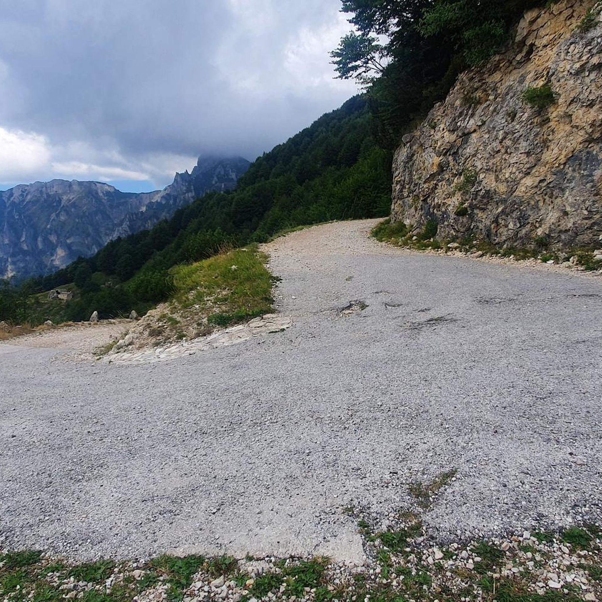
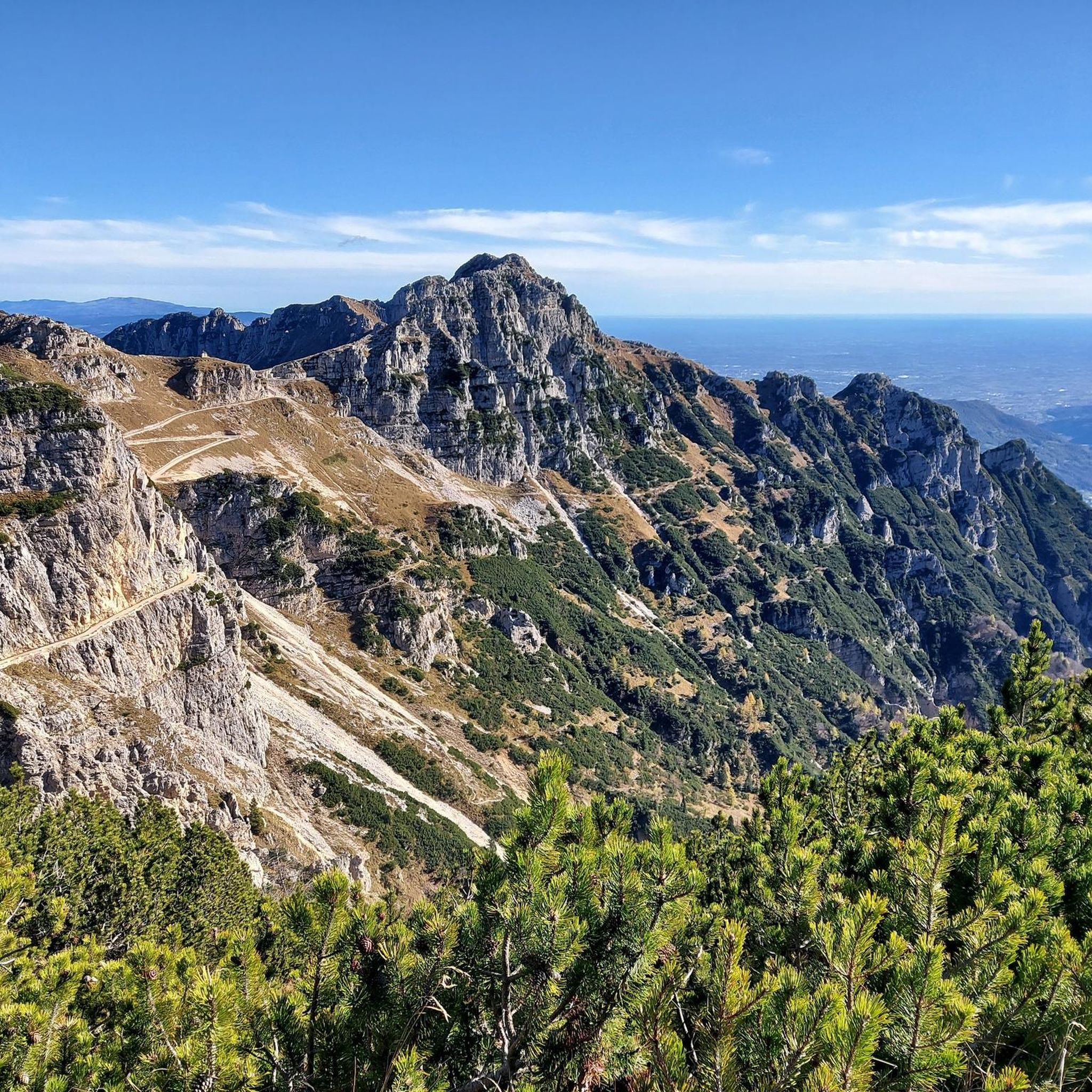
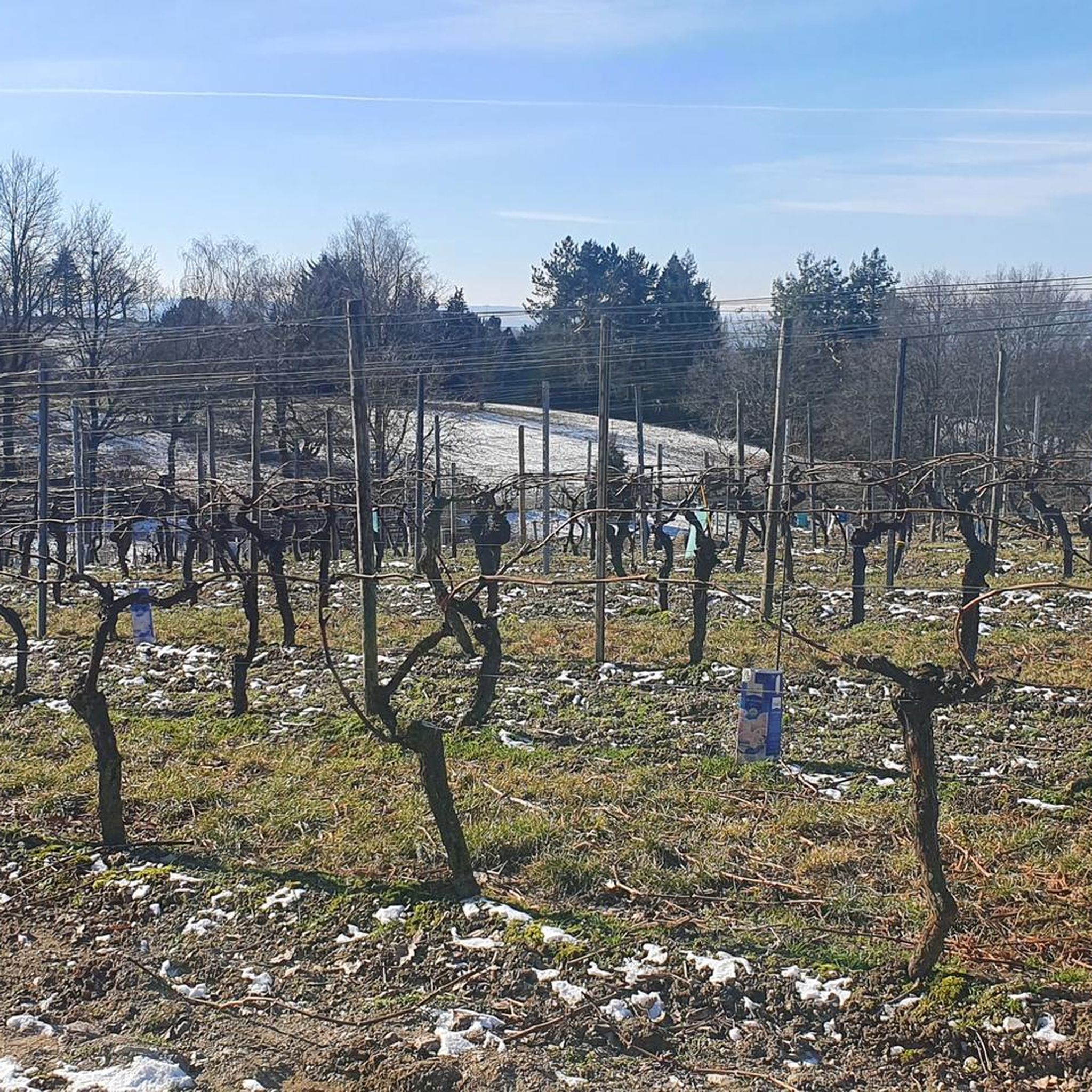

Tips from the Community

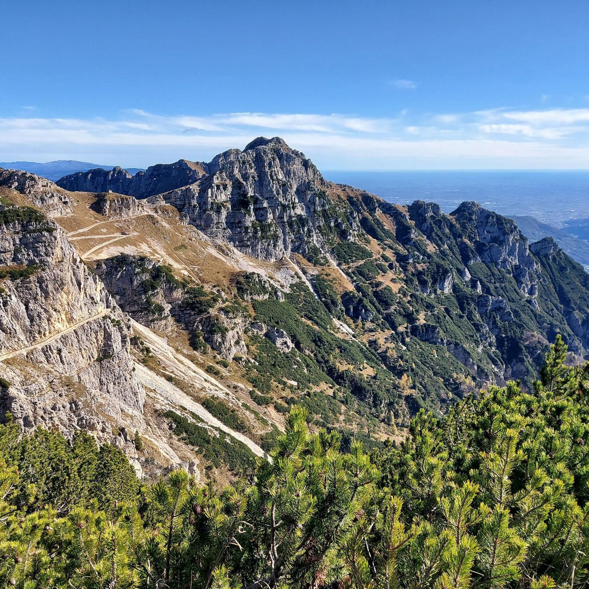
Mount Zèvola (1,976 m) is the highest peak in the Tre Cime mountain chain, one of the mountain groups of the Little Dolomites (the Tre Croci chain, the Carega Group, the Sengio Alto chain, and the Pasubio Massif). The summit is actually divided in two by the deep Vajo dell'Acqua: Zevola Alta (1,976 m) and Zevola Bassa or Antecima (1,961 m), with the cross. From up here, you can enjoy a stunning 360° panorama: on one side, there's an excellent view of Carega and Pasubio, and on the other, the entire Lessinia plateau. The climb from Passo Zevola is short but steep.
0
0

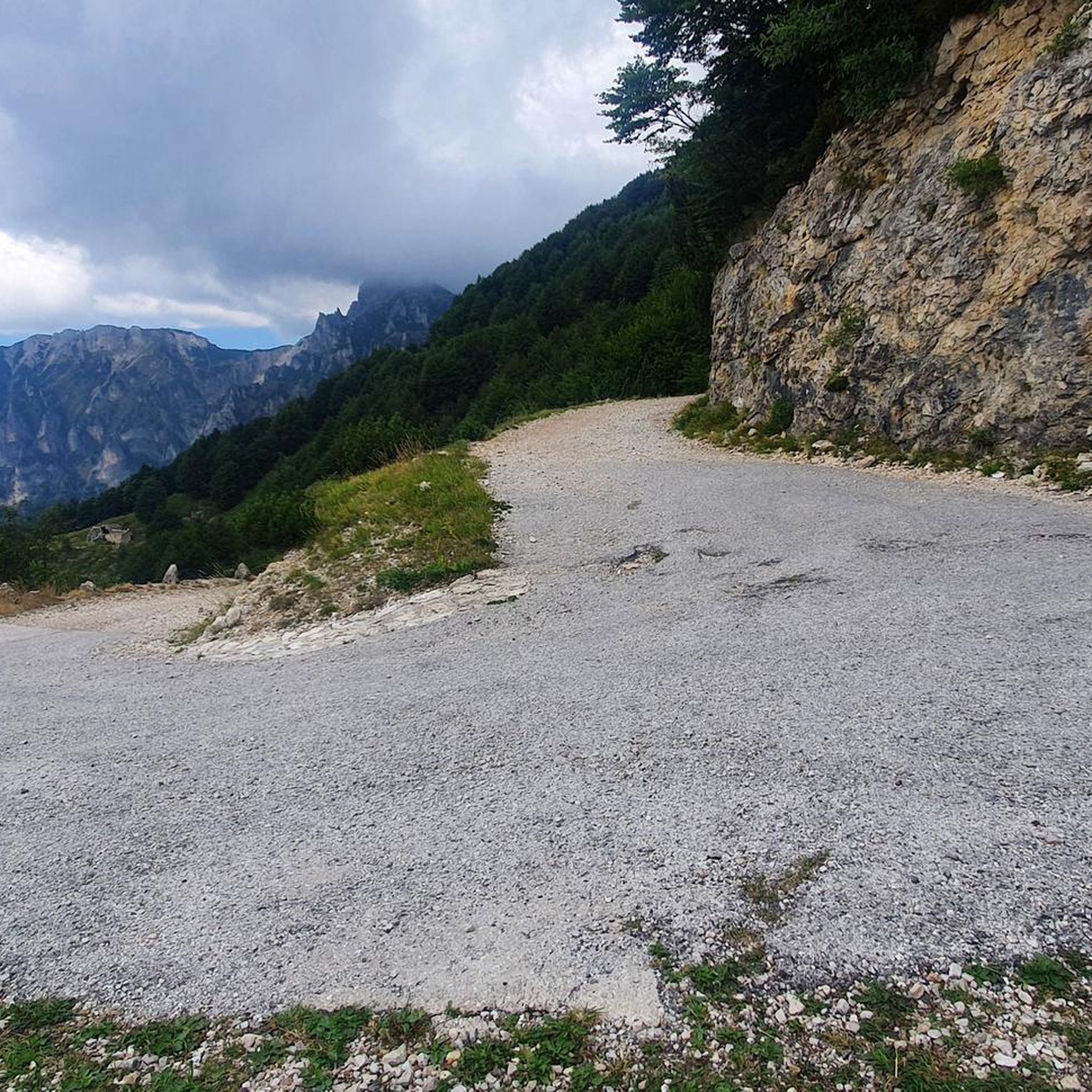
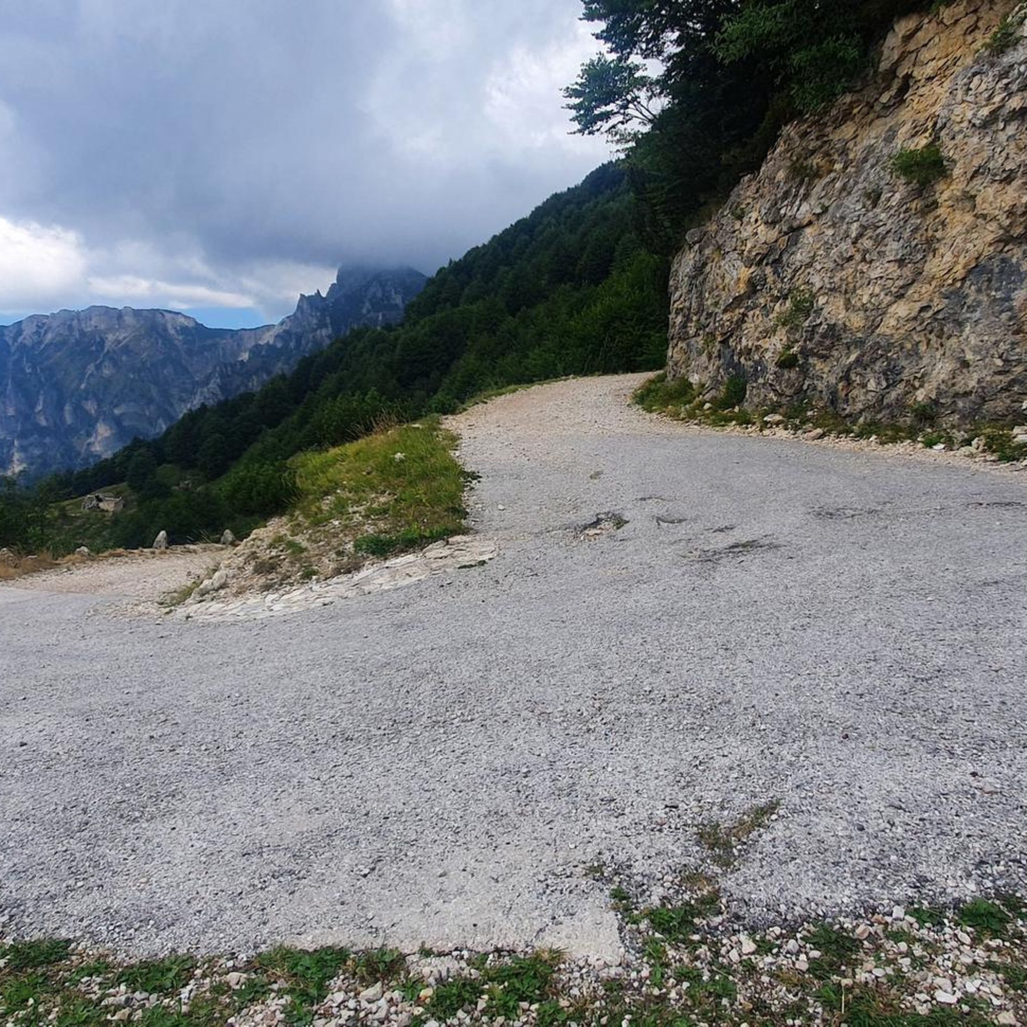
Always an interesting route, starting, in my case, from Thiene, along the Val Logra to Pian dell Fugazze (the last stretch from the Balasso refuge is a bit challenging). Then I took the road that leads to the CAMPOGROSSO refuge, with a stunning view of the CAREGA mountain range. After a stop at the refuge, I descended towards Recoaro. However, once I reached the village of Merendaore, I followed a narrow, partly paved road that passes through rustic villages to reach Valcalda, from where you can easily reach Staro and the Valli del Pasubio.
1
0

Rifugio Battisti is a starting point for beautiful walks and a stopover for bike rides with spectacular landscapes.
0
0

Here you will find an excellent refreshment point before setting off for other destinations
0
0
Rifugio Camporosso makes excellent sandwiches
1
0
Campogrosso Refuge Enchanting panorama
0
0
Try the sandwich with sopressa and cooked vegetables or the sandwich with sopressa and cheese
2
0
Frequently Asked Questions
How many mountaineering routes are available in Vallarsa?
Vallarsa offers a wide selection of mountaineering routes, with over 35 different tours available for exploration. These routes cater to various skill levels, providing diverse experiences across the region's stunning landscapes.
What is the typical difficulty level of mountaineering routes in Vallarsa?
The majority of mountaineering routes in Vallarsa are classified as difficult, making them suitable for experienced mountaineers seeking a challenge. However, there are also 8 moderate routes available, offering options for those looking for less strenuous ascents while still enjoying the region's beauty.
What kind of terrain can I expect on Vallarsa's mountaineering routes?
Mountaineering in Vallarsa features an incredible variety of terrain. You'll encounter high mountain peaks, verdant valleys, limestone formations, and forested slopes. Many routes traverse rocky ridges and offer panoramic viewpoints, particularly within the Monte Baldo mountain range, providing breathtaking vistas of the Adige Valley and Lake Garda.
Are there any circular mountaineering routes in Vallarsa?
Yes, Vallarsa offers several excellent circular routes. A popular choice is the Carega Peak – Boale dei Fondi loop from Catena del Sengio Alto, which is a challenging 6.8-mile trail. Another option is the Achille Papa Hut loop from Punta Favella, a difficult 10.4-mile path through high alpine environments.
What natural landmarks or viewpoints can I discover along the mountaineering routes in Vallarsa?
Vallarsa's mountaineering routes are rich with natural beauty. You can find stunning viewpoints offering panoramas of the Adige Valley and Lake Garda. For specific natural highlights, consider visiting the Papalini Waterfall or the Corno Battisti summit. The region is also home to the Buso delle Anguane Cave, offering a unique underground experience.
Are there any historical sites to see while mountaineering in Vallarsa?
Yes, Vallarsa has a rich historical heritage, particularly related to World War I. Many trails incorporate historical elements, such as the 'Ring of Forts' mentioned in the region's history. You can explore sites like the Campiglia Gun Emplacement or hike along the Sentinello Trail (WWI), which offers a unique blend of mountaineering and historical exploration.
What do other mountaineers enjoy the most about mountaineering in Vallarsa?
The mountaineering routes in Vallarsa are highly rated by the komoot community, with an average score of 4.8 stars from over 130 reviews. Reviewers often praise the incredible variety of landscapes, from high mountain peaks to verdant valleys, and the tranquility found amidst the unspoiled natural environment. The challenging ascents and expansive views are frequently highlighted as key attractions.
Are there any moderate mountaineering routes suitable for less experienced hikers?
While many routes are difficult, Vallarsa does offer moderate mountaineering options. One such route is the La Sisilla loop from Catena del Sengio Alto, which covers 7.3 miles with a more manageable elevation gain. These routes provide a great way to experience the region's beauty without the intensity of the most challenging ascents.
Can I find routes that feature waterfalls in Vallarsa?
Absolutely! Vallarsa is home to several beautiful waterfalls that can be incorporated into your mountaineering adventures. Besides the Papalini Waterfall, you can also discover the Zambèl Waterfall and the Sette Fontane Waterfall. These natural features add a refreshing element to your hikes.
What is a good challenging mountaineering route in Vallarsa?
For a challenging and rewarding experience, consider the Torre di Bovental – Rifugio Campogrosso loop from Pian delle Fugazze. This difficult 8.6-mile route offers significant elevation gain and leads through impressive mountain scenery, providing a true test of endurance and offering stunning views.
Is Vallarsa suitable for rock climbing in addition to mountaineering?
Yes, beyond its extensive mountaineering trails, Vallarsa is also well-suited for rock climbing. The region features cliffs that cater to both novice and experienced climbers, making it a versatile destination for various outdoor sports enthusiasts.
What are the best seasons for mountaineering in Vallarsa?
Vallarsa offers distinct seasonal beauty. Spring brings verdant valleys blooming with wildflowers, while summer provides ideal conditions for high-altitude treks. Autumn showcases stunning foliage. While winter mountaineering is possible, it requires specialized gear and experience due to snow and ice conditions.
Most popular routes around Vallarsa
Most popular attractions around Vallarsa

Get inspired with the komoot mobile app


Explore more
Browse the best Mountain Hikes & Routes in other regions.
