The best running trails around Terragnolo
4.5
(142)
7,310
runners
212
runs
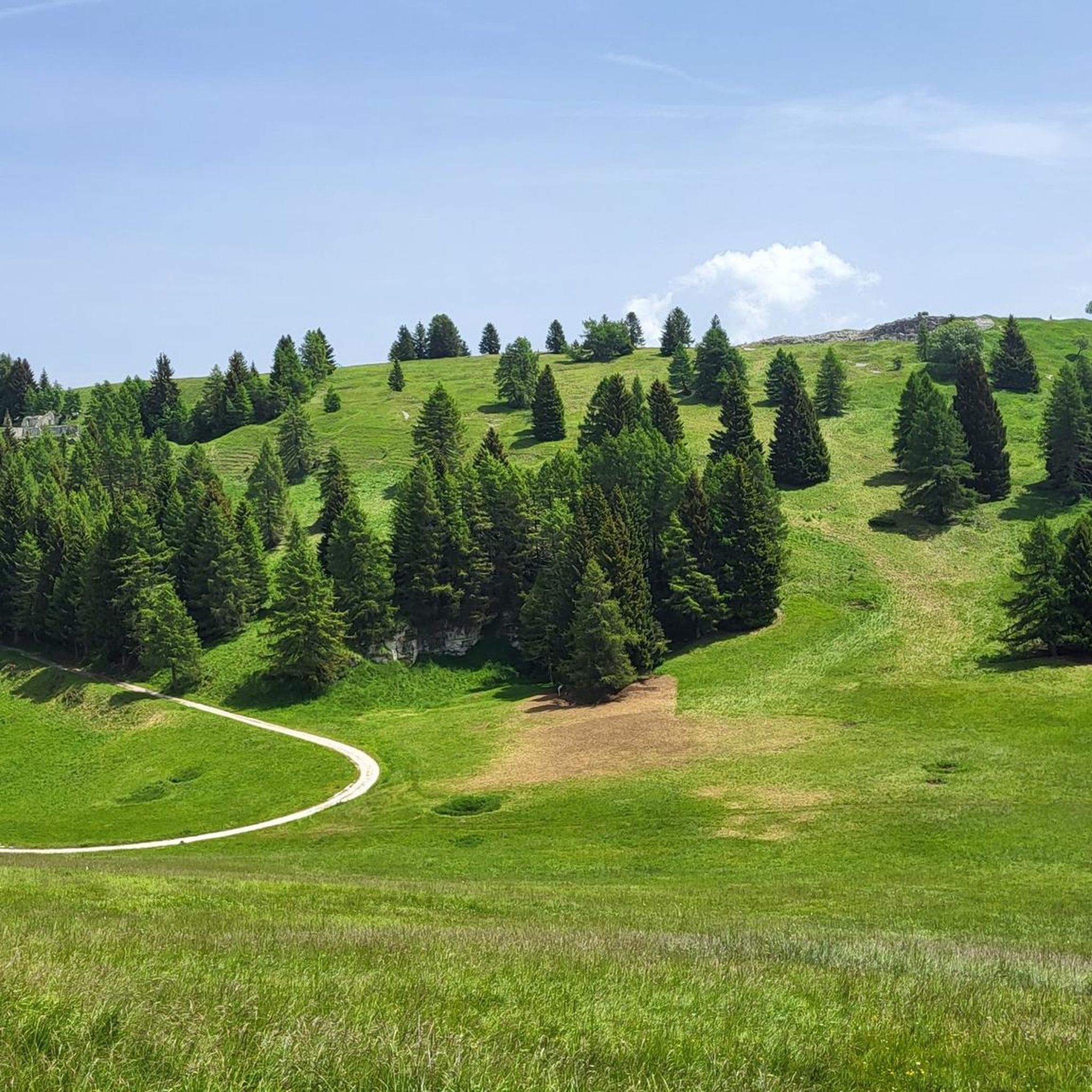
Jogging routes around Terragnolo traverse a fluvio-glacial landscape shaped by the Leno di Terragnolo stream, featuring calcareous rocks and terraced fields. Runners can follow paths along the Leno River, through dense forests, and up to the high plateaus of Folgaria and Lavarone. The region offers varied terrain, from valley floors to mountain slopes, including Mount Maggio and Mount Finonchio, providing diverse running experiences.
Best jogging routes around Terragnolo
- The most popular jogging route is Forra del Lupo Trail loop from…
Last updated: October 8, 2026
36
runners
10.4km
01:15
390m
390m
Hard run. Very good fitness required. Mostly paved surfaces. Suitable for all skill levels.
5.0
(3)
27
runners
6.04km
00:40
130m
130m
Moderate run. Good fitness required. Mostly paved surfaces. Suitable for all skill levels.

22
runners
27.9km
04:32
1,410m
1,410m
Hard run. Very good fitness required. Sure-footedness, sturdy shoes and alpine experience required.
4.0
(1)
10
runners
8.18km
01:00
320m
320m
Hard run. Very good fitness required. Mostly paved surfaces. Suitable for all skill levels.
12
runners
10.2km
01:54
840m
840m
Hard run. Very good fitness required. Sure-footedness, sturdy shoes and alpine experience required.
Get access to more routes and recommendations from other explorers.
Already have an account?
Our route recommendations are based on thousands of hikes, rides, and runs completed by other people on komoot.
Start today with a free account
Your next adventure awaits.
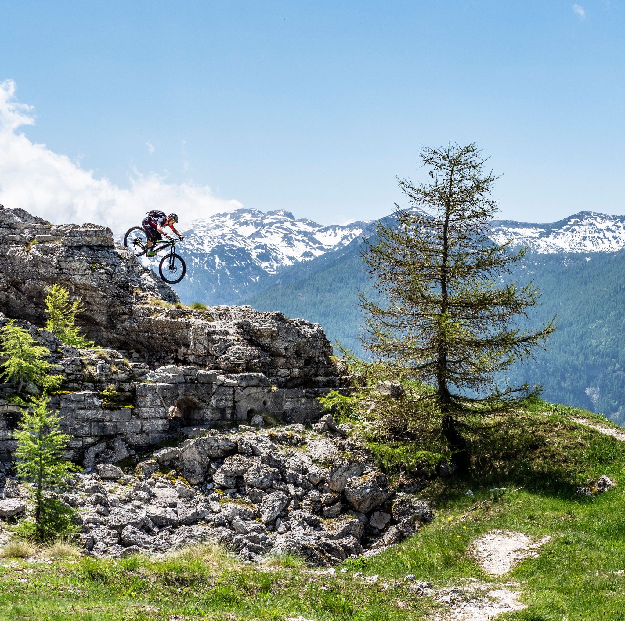
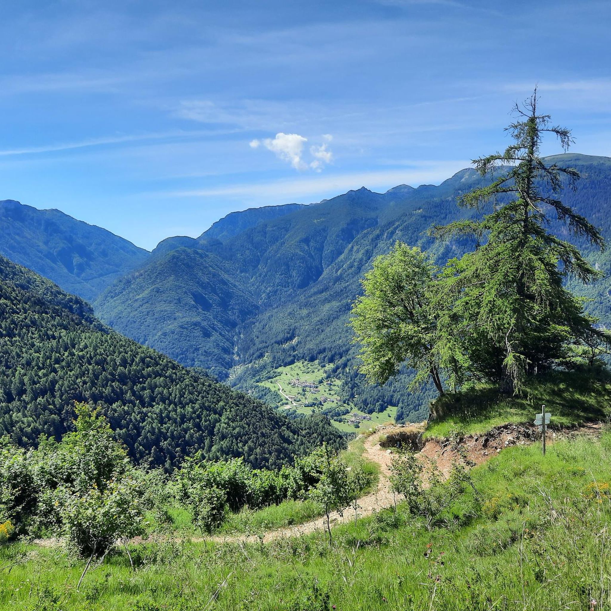
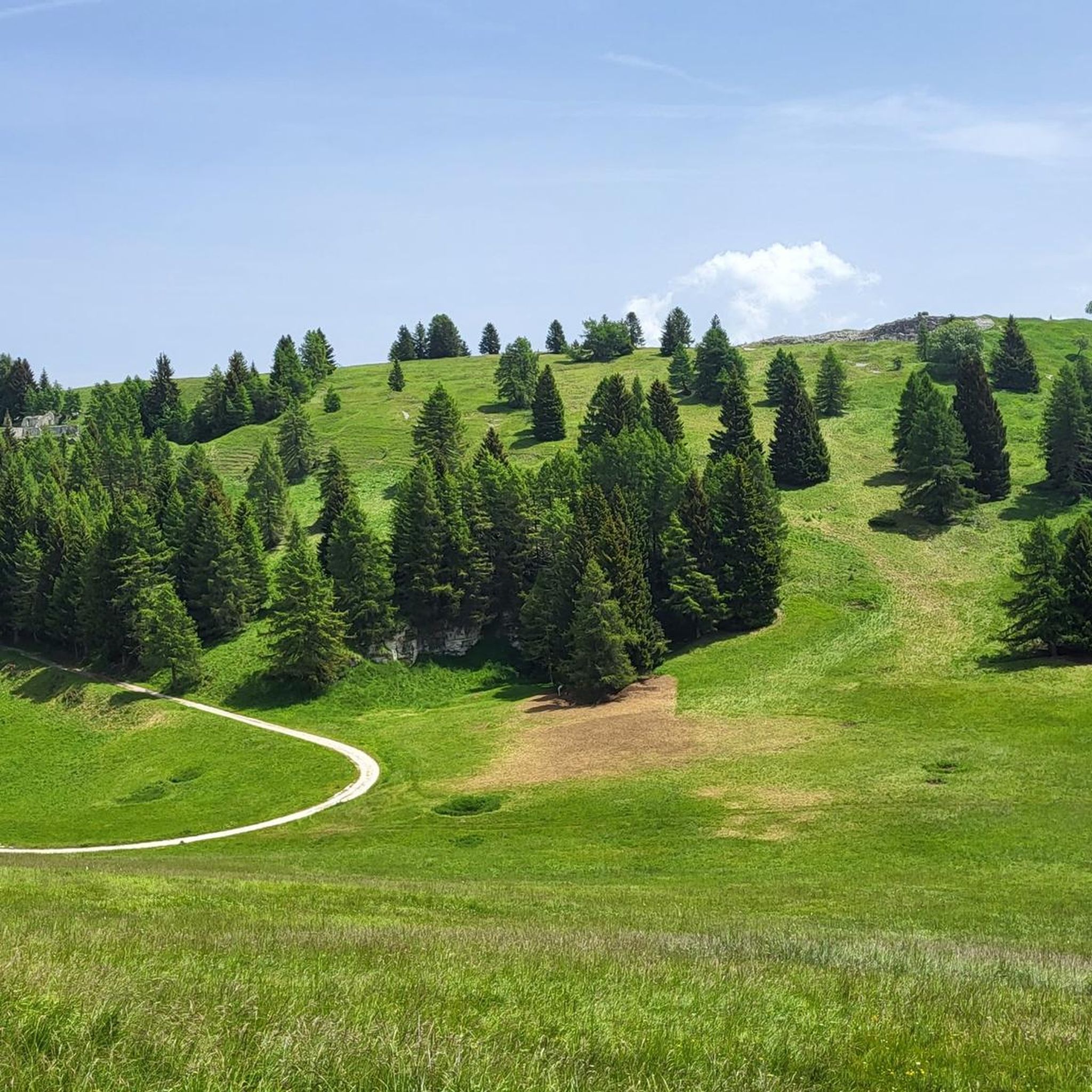
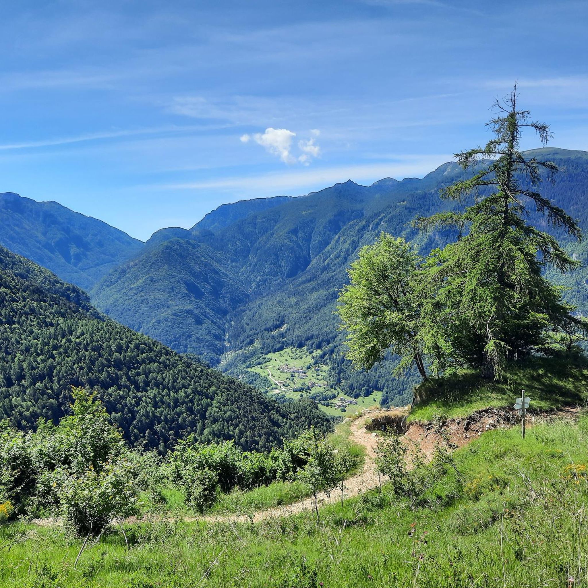

Other adventures around Terragnolo

Tips from the Community

Chiesetta at 2100 meters overlooking the Roman arch and the war cemetery.
0
0

Beautiful. Reachable on foot or by bike from Rifugio Papa. Breathtaking landscape
1
0

Cozy refuge for a stop to regain energy. Located in a beautifully sized alpine meadow. Starting point for hikes and e-bike tours.
0
0

Be very careful if you want to enter the underground tunnels.
0
0

Contrary to popular belief, the seven crosses do not refer to the clashes on Pasubio, but rather to seven farmers who killed each other over grazing issues in the pre-war era.
1
0

Dente Italiano, immersed in the history of our country.
0
0

The first plans for the construction of a refuge on Pasubio date back to 1907. However, they were not realized until after the First World War, when the Schio section of the CAI began to build a refuge in memory of the soldiers who had fallen on Pasubio. Source: https://de.m.wikipedia.org/wiki/Rifugio_Achille_Papa
8
0

The refuge is closed and abandoned, left in a state of total neglect. A great shame, it would have been an excellent refreshment point after a nice walk
1
0
Frequently Asked Questions
How many running routes are available in Terragnolo?
Terragnolo offers a wide selection of running routes, with over 150 trails available for exploration. These routes cater to various skill levels, from easy valley runs to challenging mountain ascents.
What makes running in Terragnolo unique?
Running in Terragnolo is a distinctive experience due to its unique fluvio-glacial landscape, shaped by the Leno di Terragnolo stream. You'll find yourself traversing calcareous rocks, ancient terraced fields, dense forests, and ascending to high plateaus like Folgaria and Lavarone. The area also boasts historical World War I sites, adding a rich cultural dimension to your run.
What do other runners say about the trails in Terragnolo?
The running routes in Terragnolo are highly regarded by the komoot community, holding an impressive average rating of 4.7 stars from over 79 reviews. Runners frequently praise the varied terrain, the scenic beauty of the valley, and the historical significance of many trails.
Are there easy jogging routes suitable for beginners in Terragnolo?
Yes, Terragnolo offers several easy jogging routes perfect for beginners or those looking for a gentler run. While the majority of trails are moderate to difficult, there are at least 10 routes classified as easy. These often follow the valley floor or less strenuous paths through the woods.
Can I find challenging long-distance running trails in the Terragnolo area?
Absolutely. For experienced runners seeking a challenge, Terragnolo provides numerous difficult and long-distance options. A notable example is the General Achille Papa Refuge – Mount Palon loop from Laghi, a demanding 38.5 km trail that takes around 7.5 hours to complete, leading through mountainous terrain.
Are there any circular running routes in Terragnolo?
Yes, many of the running routes in Terragnolo are designed as loops, offering convenient starting and ending points. For instance, the popular Forra del Lupo Trail loop from Piazza is a 7.7 km circular route that explores historical WWI sites and a scenic gorge.
What kind of natural landscapes will I encounter while jogging in Terragnolo?
As you jog through Terragnolo, you'll experience a diverse range of natural landscapes. Expect to run along the Leno River, through dense forests, and across terraced fields. The trails also lead up to higher plateaus and offer views of surrounding mountains like Mount Maggio and Mount Finonchio, providing a mix of shaded and sunlit paths.
Are there historical sites or landmarks to see along the running trails?
Terragnolo is rich in history, particularly from the Great War. Many running trails incorporate historical sites. For example, the Forra del Lupo Trail explores World War I sites. You can also find highlights like the General Achille Papa Refuge, Forte Dosso delle Somme, and Fort Belvedere-Gschwent, which are accessible from various routes.
Can I find trails with good views in Terragnolo?
Absolutely. Terragnolo's location between the Col Santo-Pasubio and the Finonchio and Maggio mountains ensures many trails offer breathtaking panoramic views. Routes often provide vistas of the Terragnolo Valley and the majestic Pasubio massif, especially as you gain elevation.
Are the running routes in Terragnolo suitable for families or those with children?
While some routes are challenging, there are trails in Terragnolo that are suitable for families and children, particularly those described as 'easy walks' in the region. These gentler paths often traverse the valley floor or well-maintained forest trails, offering a pleasant outdoor experience for all ages.
Are there dog-friendly running trails in Terragnolo?
Many of Terragnolo's natural trails through forests and along the river are generally dog-friendly, allowing you to enjoy a run with your canine companion. It's always advisable to keep dogs on a leash, especially in areas with wildlife or near agricultural land, and to check local regulations for specific trails.
What is the best time of year to go jogging in Terragnolo?
The best time for jogging in Terragnolo is typically from spring through autumn. During these seasons, the weather is milder, and the natural landscapes are vibrant. Spring brings blooming flora, while autumn offers stunning fall foliage. Summer is also popular, though higher elevations provide cooler temperatures. Winter jogging is possible but may require appropriate gear for snow and ice, especially on mountain paths.
Are there places to eat or stay near the running trails in Terragnolo?
Yes, Terragnolo, with its numerous small hamlets, offers accommodation facilities and local eateries. You can find options for cafes, pubs, and accommodation within the valley, providing convenient places to refuel and rest after your run. For more detailed information on local services, you might find resources on the official Visit Trentino website helpful.
Most popular routes around Terragnolo
Most popular attractions around Terragnolo

Get inspired with the komoot mobile app


Explore more
Browse the best Running Trails & Routes in other regions.
