The best road cycling routes around Segni
4.3
(51)
2,539
riders
131
rides
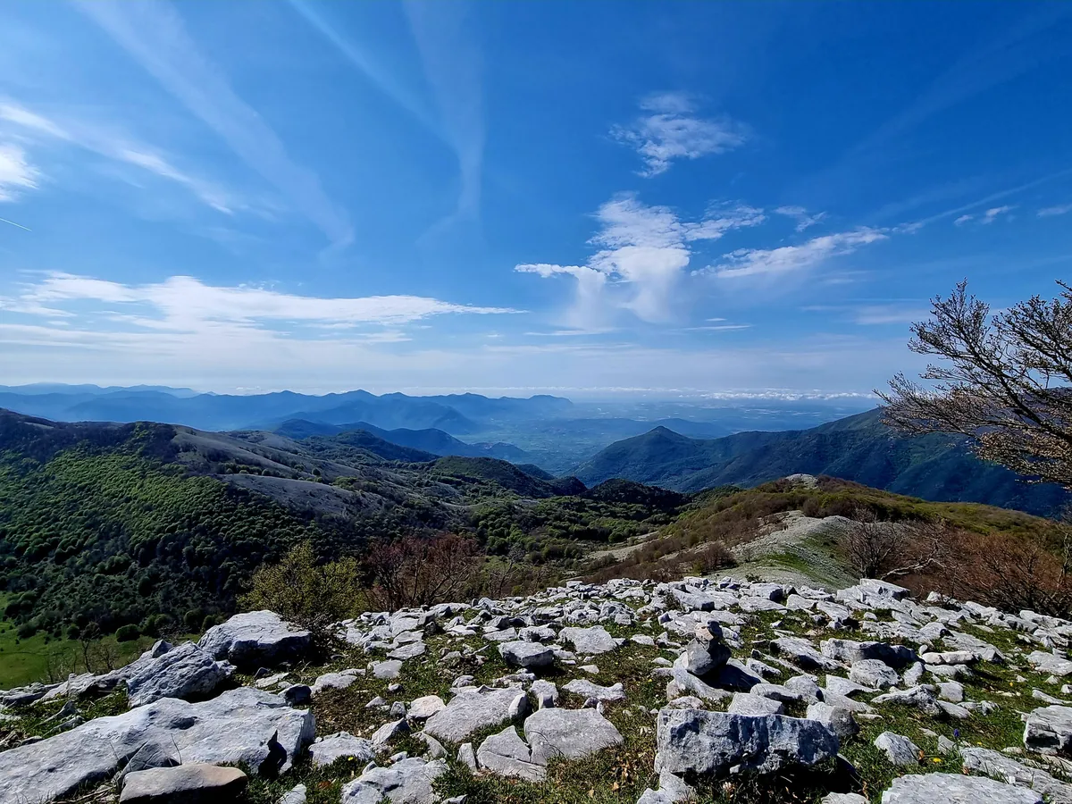
Road cycling routes around Segni traverse a landscape characterized by the foothills of the Lepini Mountains, offering varied terrain from rolling hills to more challenging ascents. The region features a mix of agricultural lands, historical towns, and forested areas, providing diverse backdrops for rides. Elevations can be significant, with many routes including substantial climbs and descents.
Best road cycling routes around Segni
- The most popular road cycling route is Lepini Mountains Loop from Colleferro, a 29.0 miles (46.7 km)…
Last updated: July 7, 2026
21
riders
46.7km
02:52
1,270m
1,280m
Embark on a challenging road cycling adventure with the Lepini Mountains Loop from Colleferro. This route takes you through the scenic Monti Lepini, offering a robust workout with its significant…
55
riders
Moderate road ride. Good fitness required. Mostly well-paved surfaces and easy to ride.

Sign up for free
3.4
(7)
46
riders
59.0km
02:40
590m
590m
Moderate road ride. Good fitness required. Mostly well-paved surfaces and easy to ride.
41
riders
79.3km
04:19
1,620m
1,620m
Hard road ride. Very good fitness required. Mostly well-paved surfaces and easy to ride.
29
riders
58.4km
02:26
410m
410m
Moderate road ride. Good fitness required. Mostly well-paved surfaces and easy to ride.
Get access to more routes and recommendations from other explorers.
Sign up for free
Already have an account?
Our route recommendations are based on thousands of hikes, rides, and runs completed by other people on komoot.
Start today with a free account
Your next adventure awaits.
Login or Signup

Other adventures around Segni

Tips from the Community

Former passenger building located on the former "Velletri-Terracina" railway. If you look to your left (coming from Velletri) before reaching the roundabout, you can admire the old railway bridge.
0
0

Very characteristic fountain
0
0

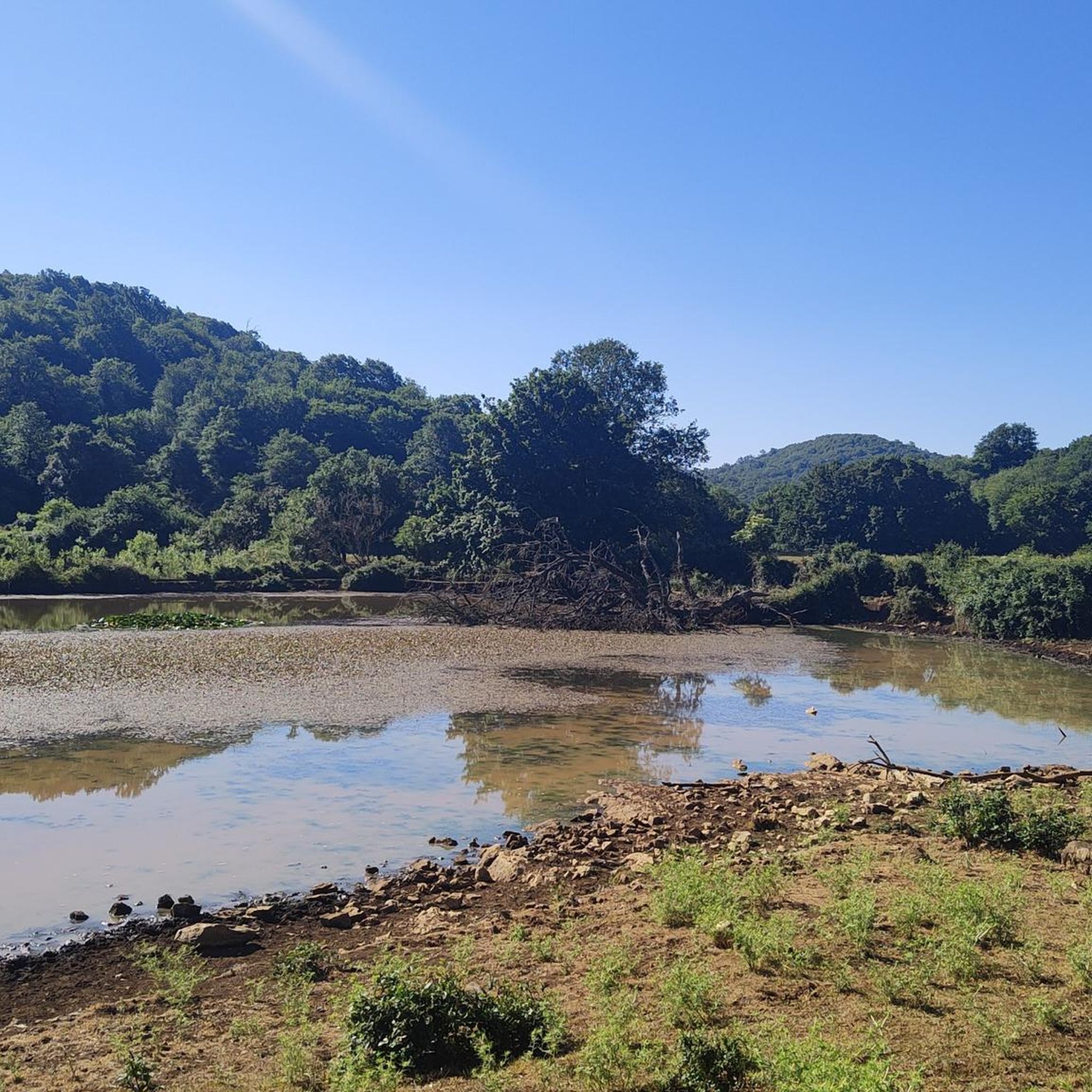
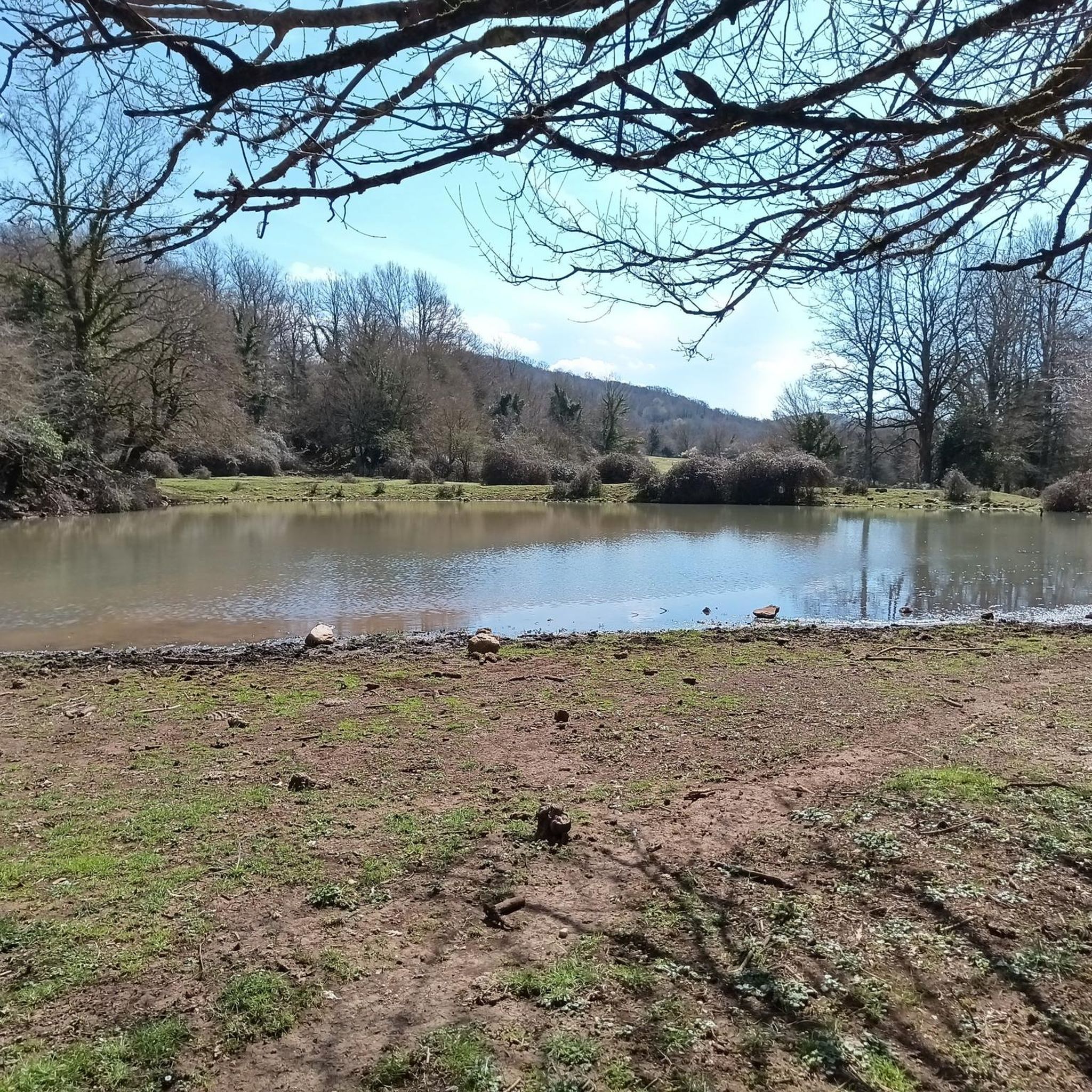
The Giulianello lake oasis is worth a visit
0
0

Old Giulianello Roccamassima Station -
1
0

this fountain is located at the beginning of the climb to capranica
1
0
at the square of giulianello
2
0
it is located near the square of Giulianello where there are two beautiful murals
0
0

Last panoramic bend before reaching the village of Gorga.
0
0
Frequently Asked Questions
What kind of terrain can I expect when road cycling around Segni?
Road cycling routes around Segni are characterized by the foothills of the Lepini Mountains. You'll encounter varied terrain, from rolling hills to more challenging ascents, with significant elevation changes. The landscape features a mix of agricultural lands, historical towns, and forested areas, providing diverse backdrops for your rides.
Are there road cycling routes suitable for beginners in Segni?
Yes, Segni offers a few routes suitable for beginners. While many routes involve significant climbs, there are 6 easy-rated road cycling tours available. These typically feature less demanding gradients and shorter distances, allowing new cyclists to enjoy the region's beauty without excessive challenge.
What are some challenging road cycling routes for experienced riders in Segni?
For experienced riders seeking a challenge, Segni offers numerous difficult routes with substantial climbs. Consider the Montelanico Fountain – Baronial Palace of Gavignano loop from Colleferro-Segni-Paliano, which is a difficult 78.9 km route with over 1600 meters of elevation gain. Another demanding option is the It’s always uphill loop from Colleferro-Segni-Paliano, spanning 81.9 km with over 1000 meters of ascent.
What historical or natural attractions can I see along road cycling routes in Segni?
Many road cycling routes in Segni pass by or are near significant historical and natural attractions. You might cycle past the ancient ruins of the Ancient City of Norba or the Archaeological Park of the Ancient City of Norba. Natural highlights include the serene Lake Giulianello and the stunning Giardini di Ninfa, often referred to as one of the most beautiful gardens in the world.
Are there any circular road cycling routes around Segni?
Yes, many of the road cycling routes around Segni are designed as loops, allowing you to start and finish in the same location. Examples include the Lepini Mountains Loop from Colleferro and the It’s always uphill – Baronial Palace of Gavignano loop from Colleferro-Segni-Paliano. These circular routes are convenient for exploring the region without needing return transport.
What is the best time of year for road cycling in Segni?
The best time for road cycling in Segni is typically during the spring (April to June) and autumn (September to October). During these seasons, the weather is generally mild and pleasant, with less extreme heat than summer and fewer cold, wet days than winter. This allows for comfortable riding and clear views of the diverse landscapes.
What do other road cyclists enjoy most about the routes in Segni?
The road cycling routes in Segni are highly rated by the komoot community, with an average score of 4.4 stars from around 40 reviews. Cyclists often praise the challenging mountainous climbs, the scenic rolling hills, and the opportunity to connect historical towns. The varied terrain and diverse backdrops are frequently highlighted as key attractions.
How many road cycling routes are available in the Segni region?
There are over 130 road cycling routes available in the Segni region, catering to various skill levels. This extensive network ensures a wide range of options, from easier rides to very difficult tours with significant elevation gains, allowing every cyclist to find a suitable adventure.
Are there any routes that pass through historical towns or villages?
Absolutely. Many routes in Segni are designed to connect historical towns and villages, offering a blend of cycling and cultural exploration. For instance, the It’s always uphill – Baronial Palace of Gavignano loop from Colleferro-Segni-Paliano passes by historical landmarks, allowing you to experience the rich heritage of the area while you ride.
What should I know about elevation when planning a road cycling trip in Segni?
Road cycling in Segni often involves significant elevation changes due to its location in the foothills of the Lepini Mountains. Many routes include substantial climbs and descents. For example, difficult routes can feature over 1000 meters of ascent, so be prepared for a workout and ensure your bike is suitable for mountainous terrain.
Are there any specific landmarks or points of interest I should look out for while cycling?
Beyond the ancient cities and gardens, you might encounter other notable landmarks. The City of Popes in Anagni is a significant historical site nearby, and the Temple of Hercules in Cori offers another glimpse into the region's ancient past. These points of interest add cultural depth to your cycling experience.
Most popular attractions around Segni

Get inspired with the komoot mobile app


Explore more
Browse the best Road cycling routes in other regions.
