The best road cycling routes around Picinisco
4.7
(33)
1,346
riders
60
rides
Road cycling routes around Picinisco are situated within the Val di Comino, part of the Abruzzo, Lazio, and Molise National Park. The region features diverse terrain, from rocky hilltops at 725 meters above sea level to surrounding beech, chestnut, and oak woods. Cyclists encounter varied landscapes, including flower-filled meadows, historic villages, and routes with significant elevation changes. Well-paved surfaces are common, making the area suitable for road cycling across the Lazio Apennines.
Best road cycling routes around Picinisco
- The most…
Last updated: July 5, 2026
32
riders
84.9km
03:46
720m
720m
Moderate road ride. Good fitness required. Mostly well-paved surfaces and easy to ride.
32
riders
43.6km
02:08
420m
420m
Moderate road ride. Good fitness required. Mostly well-paved surfaces and easy to ride.

Sign up for free
5.0
(1)
26
riders
70.9km
03:54
1,440m
1,440m
Hard road ride. Very good fitness required. Mostly well-paved surfaces and easy to ride.
23
riders
53.8km
03:11
1,220m
1,220m
Hard road ride. Very good fitness required. Mostly well-paved surfaces and easy to ride.
12
riders
38.7km
01:54
470m
470m
Moderate road ride. Good fitness required. Mostly well-paved surfaces and easy to ride.
Get access to more routes and recommendations from other explorers.
Sign up for free
Already have an account?
Our route recommendations are based on thousands of hikes, rides, and runs completed by other people on komoot.
Start today with a free account
Your next adventure awaits.
Login or Signup
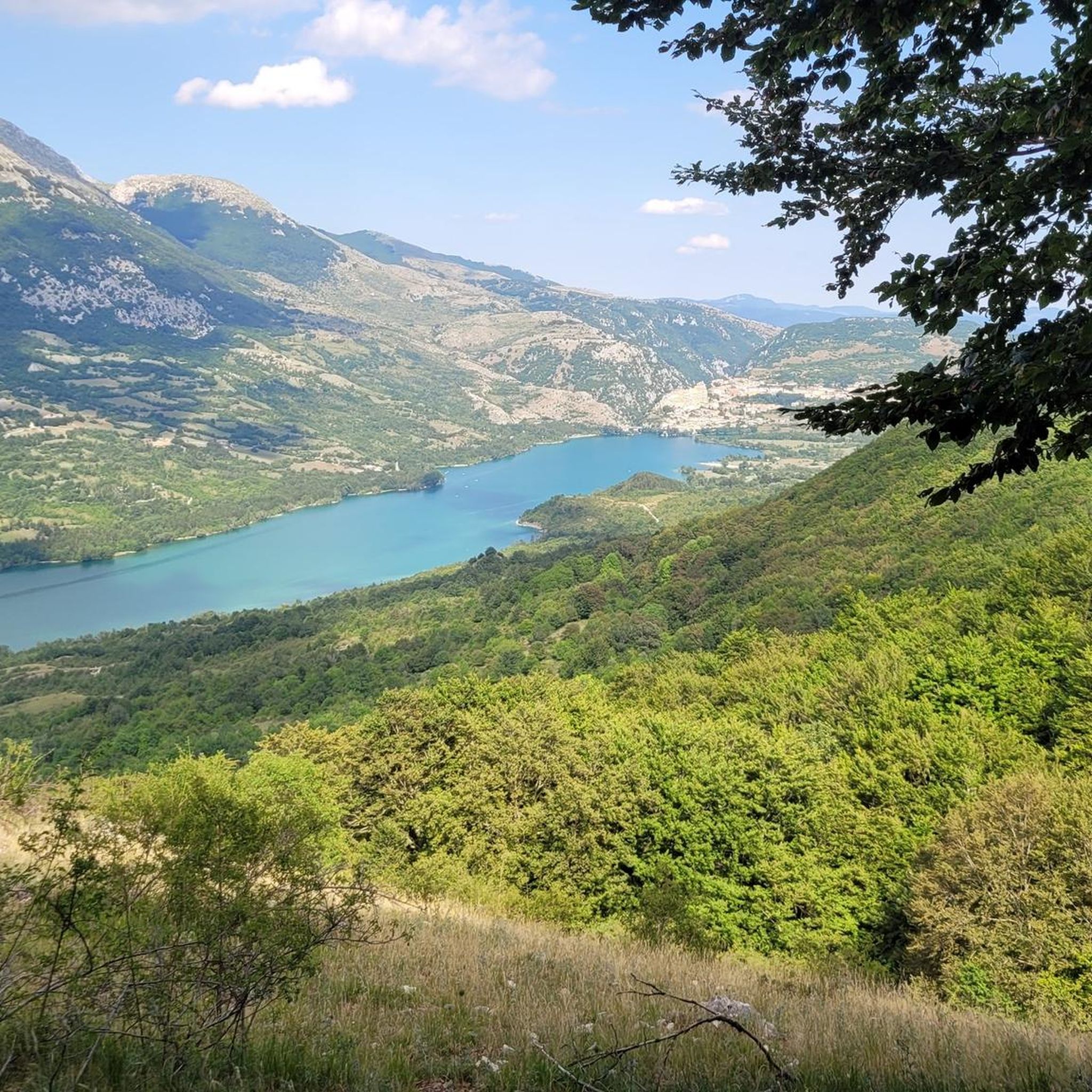
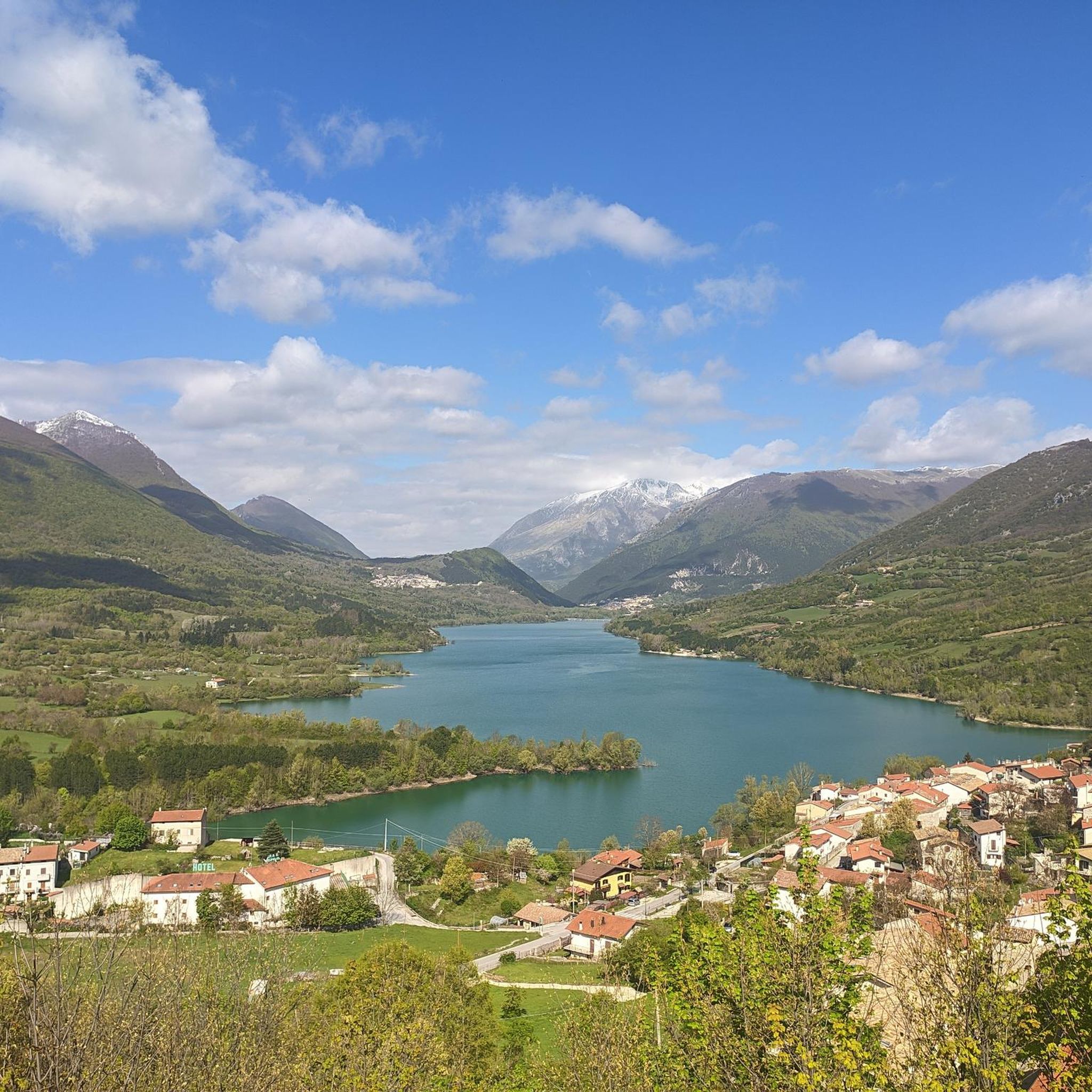
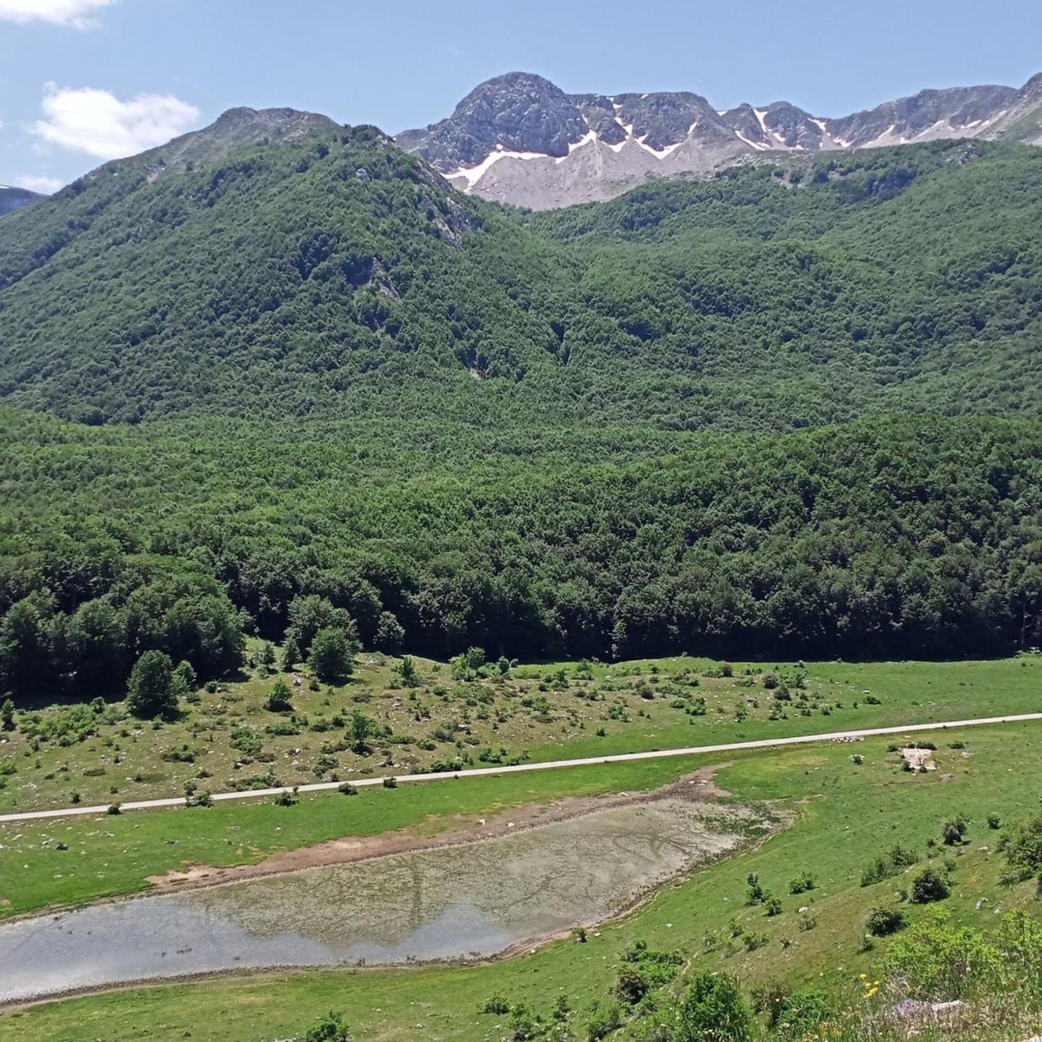
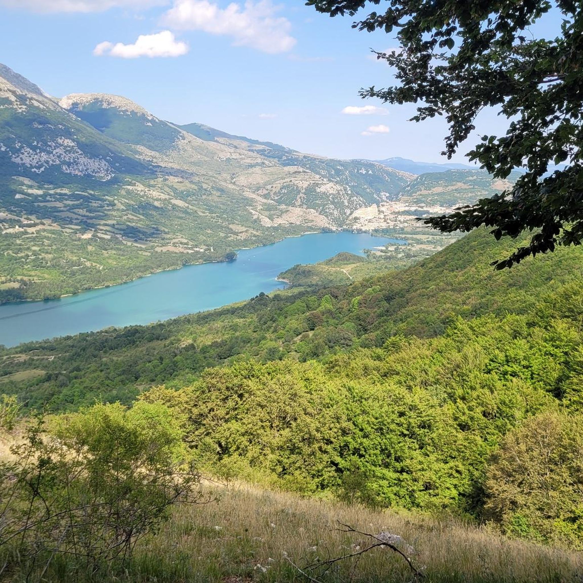
Tips from the Community


Long live San Donato! Super little town.
0
0

Pizzicotto bakery 24 hours a day
0
0

To be enjoyed throughout the route by bike
0
0

Impossible to resist Armando's tastings
0
0
Cheeses and cured meats from the area
0
0
Historical bar of the pass, excellent for refreshment on the go or even for a nice meal
0
0
Frequently Asked Questions
What kind of terrain can I expect on road cycling routes around Picinisco?
Picinisco, situated on a rocky hilltop at 725 meters above sea level, offers diverse terrain for road cyclists. You'll find routes with significant elevation changes, winding through lush beech, chestnut, and oak woods, as well as flower-filled meadows. The region is part of the Abruzzo, Lazio and Molise National Park, ensuring well-preserved natural landscapes. Many routes feature well-paved surfaces suitable for road bikes.
Are there road cycling routes suitable for beginners or those looking for an easier ride?
Yes, while the region is known for routes with significant elevation, there are options for various ability levels. Out of 64 total road cycling routes, 3 are classified as easy, and 40 as moderate. For example, the Bar Italia – Arpino loop from Ospedale d'Atina is a moderate 58.2 km trail with manageable elevation, often completed in under 3 hours.
What are some challenging road cycling routes for experienced riders in the Picinisco area?
Experienced riders will find plenty of challenging routes with substantial elevation gain. A notable option is the Lake Castel San Vincenzo – Forca d'Acero Pass loop from Atina, which covers 136 km with over 2,500 meters of elevation gain. Another difficult route is the Forca d'Acero Pass – Antico Bar Del Tasso loop from Gallinaro, a 76.7 km path with over 1,600 meters of climbing.
What natural attractions can I see while road cycling near Picinisco?
The region is rich in natural beauty, being part of a National Park. Cyclists can enjoy views of Mount Meta, explore areas with diverse flora, and pass by features like the artificial lake of Grotta Campanaro. You might also encounter highlights such as the Nymphs' Waterfall or the Camosciara Stream.
Are there any historical landmarks or interesting villages to visit along the road cycling routes?
Yes, Picinisco itself is a historic village with a medieval layout, an 11th-century castle, and ancient churches like Santa Maria (1110) and San Lorenzo (1305). The panoramic Piazza Capocci is also a notable spot. Many routes will take you through charming local villages, offering a glimpse into the region's rich history and culture.
What is the best time of year for road cycling in Picinisco?
The Comino Valley and Picinisco area offer excellent cycling conditions for much of the year. Spring and autumn generally provide pleasant temperatures and beautiful scenery with blooming flowers or vibrant fall foliage. Summer can be warm, especially at lower elevations, but higher routes offer cooler air. Winters can bring snow, particularly on higher peaks like Mount Meta, making some routes less accessible for road cycling.
What do other road cyclists say about their experience in Picinisco?
The road cycling routes around Picinisco are highly rated by the komoot community, with an average score of 4.7 stars from over 23 reviews. More than 1,200 road cyclists have used komoot to explore the varied terrain, often praising the stunning natural landscapes, well-paved surfaces, and the challenge offered by the elevation changes.
Are there any circular road cycling routes in the area?
Yes, many of the road cycling routes around Picinisco are designed as loops, allowing you to start and end in the same location. Examples include the challenging Lake Castel San Vincenzo – Forca d'Acero Pass loop from Atina and the moderate Atina Historic Center – Tracciolino loop from Ospedale d'Atina.
Can I find places to eat or drink along the road cycling routes in Picinisco?
While specific cafes or pubs directly on every route are not detailed, Picinisco and the surrounding villages offer various options for refreshments. The region is known for its hospitality, and you can find local restaurants, bars, and agriturismos where cyclists are welcome to refuel and enjoy local cuisine.
Is Picinisco a good destination for a road cycling holiday?
Absolutely. Picinisco, nestled in the Comino Valley within the Abruzzo, Lazio and Molise National Park, provides a fantastic base for a road cycling holiday. Its diverse terrain, stunning natural landscapes, and well-preserved environment, combined with a range of routes from moderate to difficult, cater to various cycling preferences. The historic village itself also offers cultural attractions for off-bike exploration.
Are there any specific viewpoints or scenic spots recommended for road cyclists?
The region offers numerous scenic viewpoints due to its mountainous terrain. Picinisco itself, perched on a rocky hilltop, provides breathtaking views over the Comino Valley. Routes often feature panoramic vistas of the surrounding woods and distant peaks like Mount Meta. The View of Monte Forcellone is one such highlight.
How many road cycling routes are available around Picinisco?
There are over 60 road cycling routes available around Picinisco, offering a wide variety of distances and difficulty levels to explore the Comino Valley and the Abruzzo, Lazio and Molise National Park.
Most popular attractions around Picinisco

Get inspired with the komoot mobile app


Explore more
Browse the best Road cycling routes in other regions.
