The best road cycling routes around Schlaiten
4.6
(150)
6,832
riders
22
rides
Road cycling around Schlaiten features routes that navigate through the East Tyrolean landscape, characterized by river valleys, rolling hills, and ascents towards higher elevations. The region's terrain offers a mix of flat sections along waterways and more challenging climbs into the surrounding mountains. Road cyclists can expect varied gradients and scenic views of the Alpine foothills. The area provides a diverse environment for different road cycling preferences.
Best road cycling routes around Schlaiten
- The most popular road cycling route is…
Last updated: July 8, 2026
127
riders
44.5km
03:07
1,060m
1,060m
Hard road ride. Very good fitness required. Some segments of this route may be unpaved and difficult to ride.
2.0
(1)
124
riders
65.9km
03:25
740m
740m
Moderate road ride. Good fitness required. Some segments of this route may be unpaved and difficult to ride.

Sign up for free
42
riders
41.2km
02:36
1,070m
1,070m
Hard road ride. Very good fitness required. Mostly well-paved surfaces and easy to ride.
3.0
(2)
45
riders
27.9km
01:17
150m
150m
Easy road ride. Great for any fitness level. Mostly well-paved surfaces and easy to ride.
5.0
(1)
47
riders
32.6km
01:53
680m
690m
Moderate road ride. Good fitness required. Mostly well-paved surfaces and easy to ride.
Get access to more routes and recommendations from other explorers.
Sign up for free
Already have an account?
Our route recommendations are based on thousands of hikes, rides, and runs completed by other people on komoot.
Start today with a free account
Your next adventure awaits.
Login or Signup
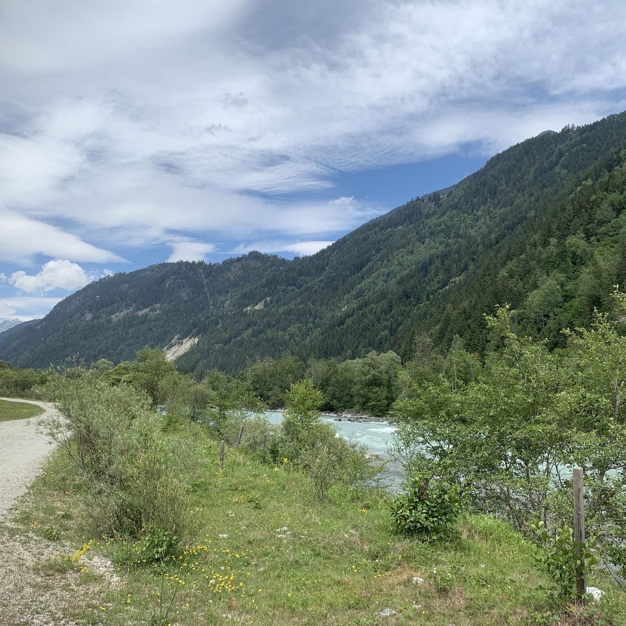
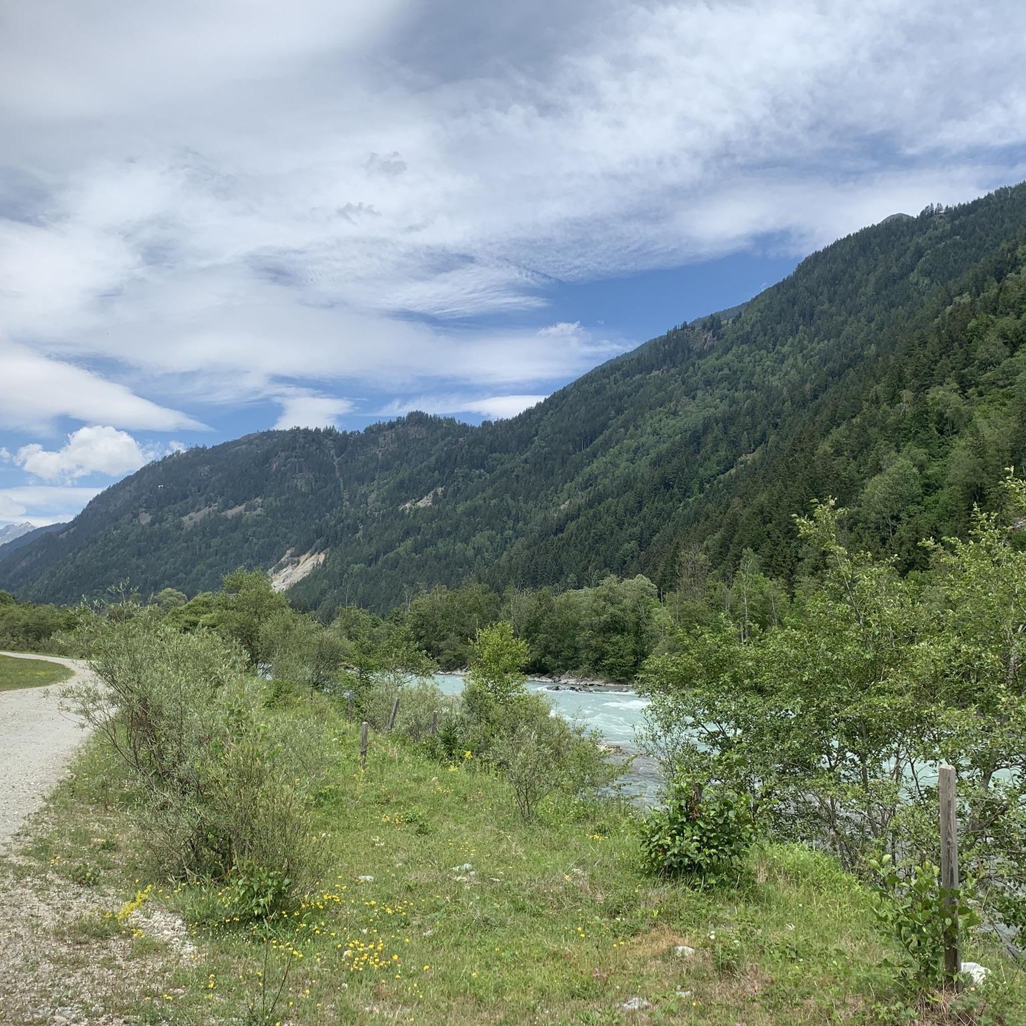
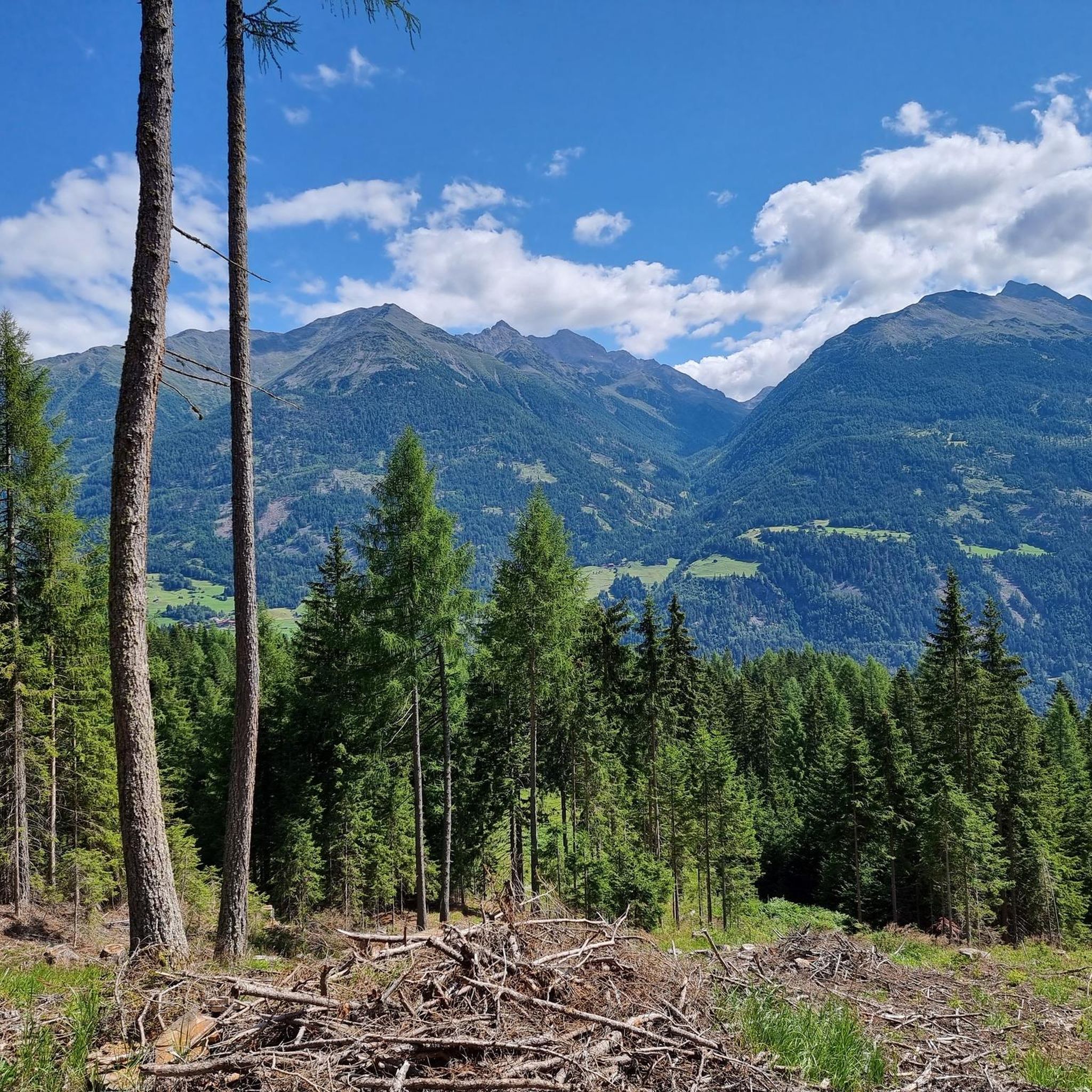
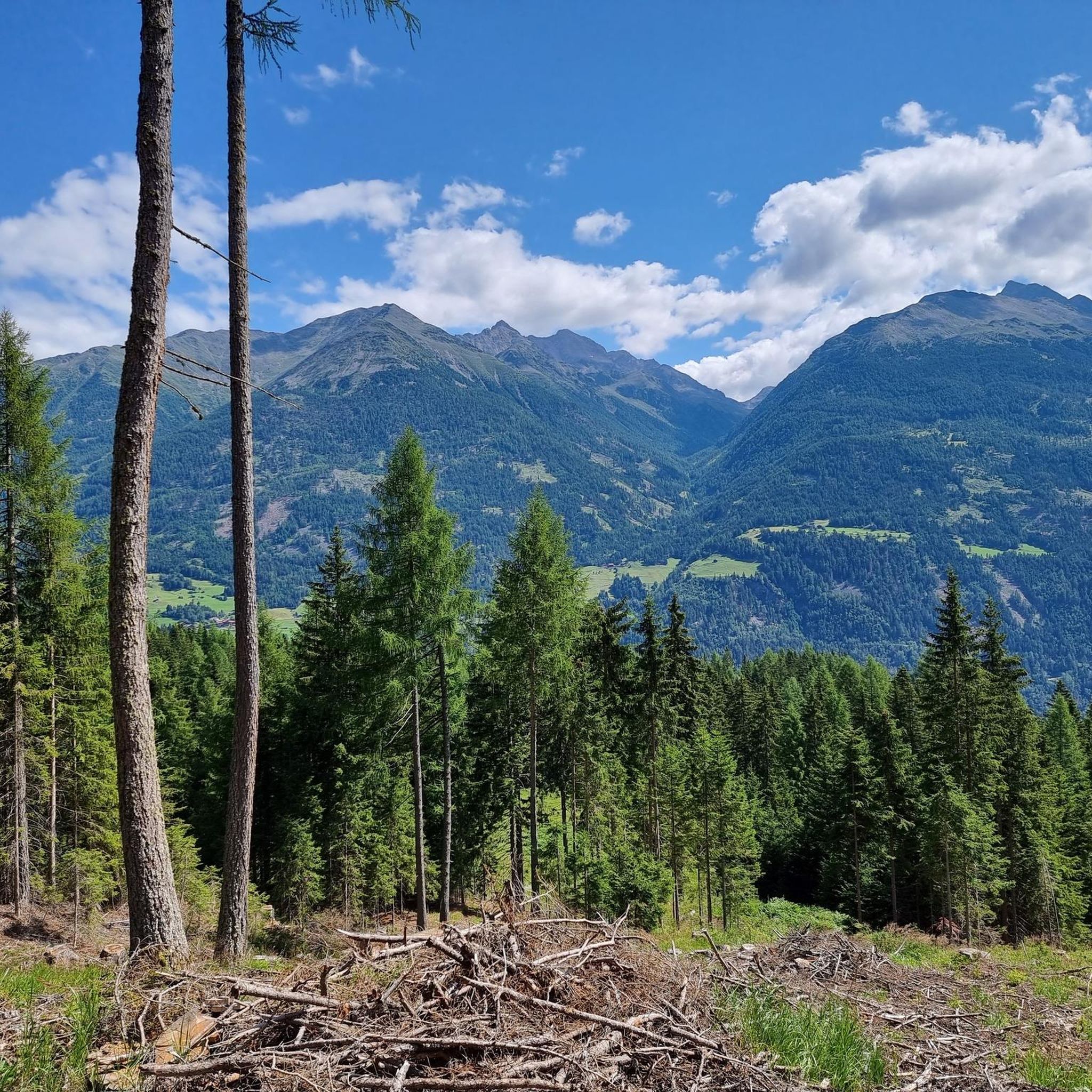

Tips from the Community

strenuous, but top scenery!
0
0
Beautiful ascent to the Dolomitenhütte
0
0
middle of the main square in Lienz
0
0


…one of many sculptures worth seeing
2
0
Frequently Asked Questions
How many road cycling routes are available in Schlaiten?
There are over 20 road cycling routes around Schlaiten, offering a variety of distances and difficulty levels. The region's terrain provides options from gentle valley rides to challenging mountain ascents.
Are there easy road cycling routes suitable for beginners in Schlaiten?
Yes, Schlaiten offers several easy road cycling routes perfect for beginners or those seeking a relaxed ride. An excellent option is the Lienz – Sun City Lienz loop from Ainet, which features gentle gradients through the valley.
Where can I find parking for road cycling routes in Schlaiten?
Many road cycling routes in Schlaiten start from easily accessible points in and around villages like Ainet or Lienz, where public parking facilities are generally available. It's advisable to check local signage for specific parking regulations.
What is the typical duration for road cycling routes around Schlaiten?
Route durations vary significantly based on distance and elevation. Easy routes like the Lienz – Sun City Lienz loop from Ainet can be completed in about 1 hour 18 minutes, while more challenging routes such as the Isel Suspension Bridge – Dolomitenhütte loop from Ainet might take around 2 hours 35 minutes or more.
Can I reach road cycling routes in Schlaiten using public transport?
Public transport options, including regional buses, connect Schlaiten with nearby towns like Lienz. These can be useful for reaching starting points or returning from longer routes. Check local bus schedules for routes that accommodate bicycles, especially outside peak hours.
Are there family-friendly road cycling routes in Schlaiten?
For families, the flatter sections along the river valleys are ideal. Routes with minimal elevation gain, similar to the easy valley loops, provide a safe and enjoyable experience for all ages. Always check the route's difficulty and distance before heading out with children.
Where can I find challenging road cycling routes with significant climbs?
Schlaiten offers challenging routes that ascend into the surrounding mountains, providing significant climbs and rewarding views. The Isel Suspension Bridge – Dolomitenhütte loop from Ainet is a prime example, featuring challenging climbs towards mountain vistas.
What is the best time of year for road cycling in Schlaiten?
The best time for road cycling in Schlaiten is typically from late spring (May) through early autumn (October). During these months, the weather is generally mild, and mountain passes are clear of snow, offering optimal conditions for exploring the region's diverse terrain.
Do road cycling routes in Schlaiten offer scenic viewpoints or places to stop for refreshments?
Absolutely. Many routes in Schlaiten provide stunning views of the East Tyrolean landscape, including the Alpine foothills and river valleys. You'll often find opportunities to stop at local cafes or restaurants in the villages along the way, particularly in Lienz, or even mountain huts like Hochsteinhütte or Lienzer Hut on higher routes.
Are there many loop road cycling routes available around Schlaiten?
Yes, the majority of road cycling routes around Schlaiten are designed as loops, allowing you to start and finish at the same point. This makes planning your ride convenient, as you don't need to arrange for transport back to your starting location. Examples include the Lienz – Lienz loop from Ainet.
What interesting sights can I explore near the road cycling routes?
Beyond the cycling, the region around Schlaiten offers several attractions. You can visit the historic Lienz Old Town, explore various mountain huts like Volkzeiner Hütte, or even spot impressive peaks such as Rotenkogel Summit and Böses Weibele Summit.
What do other road cyclists appreciate about the routes in Schlaiten?
The road cycling routes in Schlaiten are highly rated by the komoot community, with an average score of 4.7 stars from over 140 reviews. Cyclists often praise the diverse terrain, ranging from gentle valley rides to challenging mountain ascents, and the stunning scenic views of the East Tyrolean landscape.
Most popular routes around Schlaiten
Most popular attractions around Schlaiten

Get inspired with the komoot mobile app


Explore more
Browse the best Road cycling routes in other regions.
