The best walks and hikes around Schinznach-Bad
4.6
(3542)
17,447
hikers
896
hikes
Hiking around Schinznach-Bad offers diverse landscapes within the Aare Valley and Jurapark Aargau. The region features fertile river plains, gentle wooded hills like Wülpelsberg and Gislifluh, and cultivated vineyards. Trails often follow the Aare River, providing riverside experiences, while higher paths offer views over the valley. This area provides varied terrain for different hiking preferences.
Best hiking trails around Schinznach-Bad
- The most popular hiking route is Habsburg Castle – Aare River in Brugg loop from Habsburg, a 7.7 miles…
Last updated: October 14, 2026
4.6
(28)
141
hikers
10.6km
02:45
60m
60m
Moderate hike. Good fitness required. Easily-accessible paths. Suitable for all skill levels.
4.6
(36)
106
hikers
12.2km
03:22
190m
190m
Moderate hike. Good fitness required. Easily-accessible paths. Suitable for all skill levels.

4.1
(15)
90
hikers
7.63km
01:56
20m
20m
Easy hike. Great for any fitness level. Easily-accessible paths. Suitable for all skill levels.
5.0
(6)
66
hikers
Easy hike. Great for any fitness level. Easily-accessible paths. Suitable for all skill levels.
4.8
(5)
34
hikers
11.9km
03:20
240m
240m
Moderate hike. Good fitness required. Easily-accessible paths. Suitable for all skill levels.
Get access to more routes and recommendations from other explorers.
Already have an account?
Our route recommendations are based on thousands of hikes, rides, and runs completed by other people on komoot.
Start today with a free account
Your next adventure awaits.

Tips from the Community

Dam with drinking water well and dog bowl.
0
0

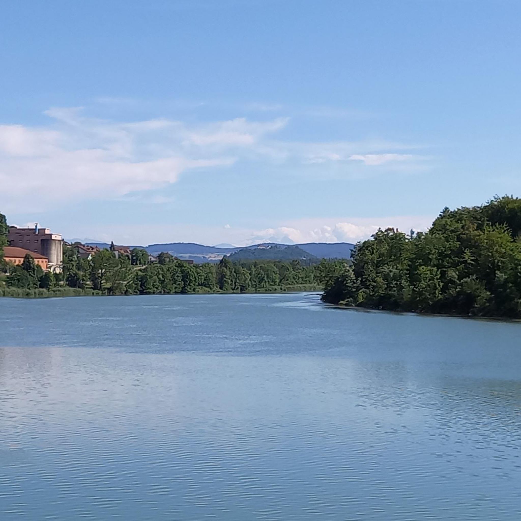
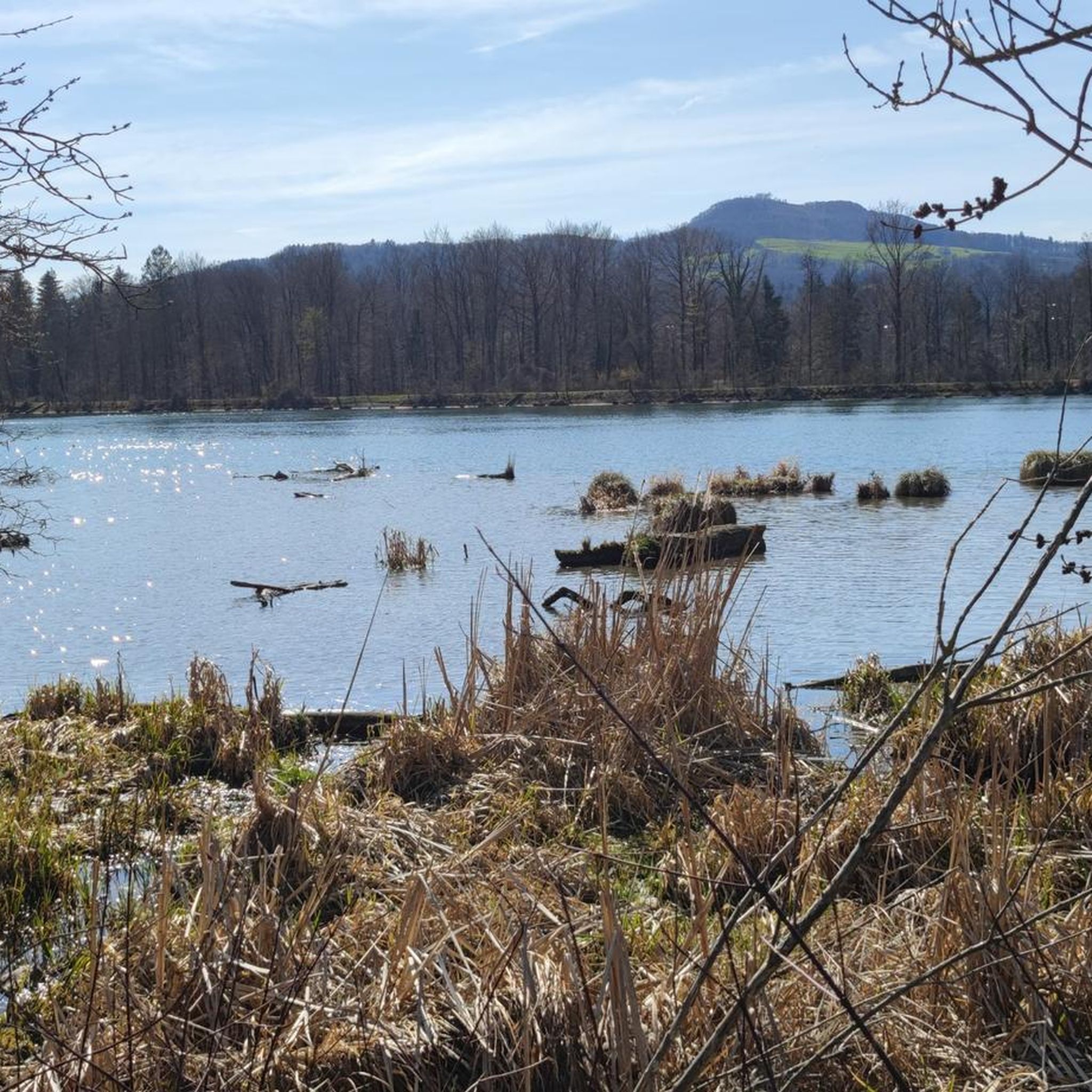
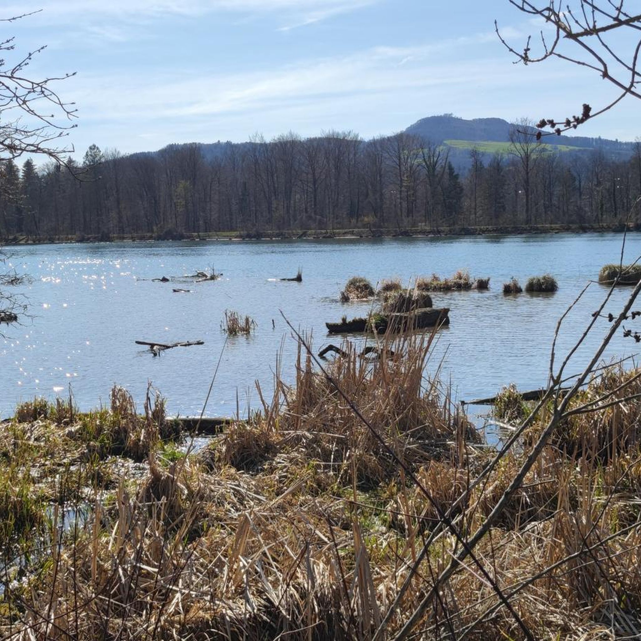
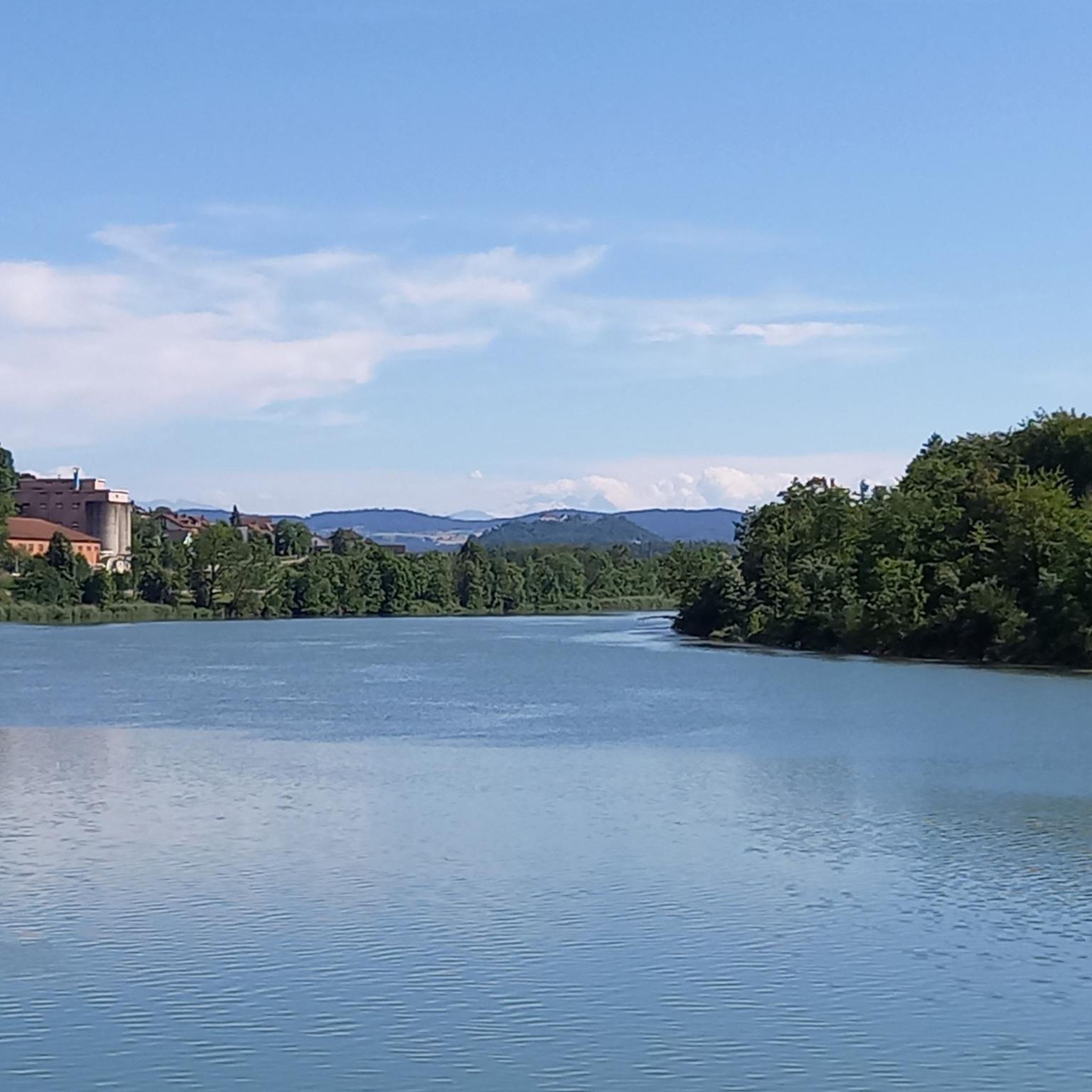
It may be nothing special for someone, but for others it is something special every day. Whoever keeps their eyes and soul open will always find something to find, to observe, to admire. If you have time to stop and enjoy the atmosphere, to observe the reflections on the water, to find fish in the Aare, to catch a glimpse of a duck family, to observe the bank plants - the diverse life all around... And it is a pleasure to be able to and be allowed to be here!
0
0
The flora and fauna of the Aare floodplain can be experienced and observed up close here. The large fish on the banks of the Aare are also clearly visible through the crystal-clear water. This stretch between Brugg and Schinznach Bad is indeed something special.
0
0

There are also natural fishing areas here.
1
0
A beautiful recreation area with seating, a fountain and a lovely view.
0
0

Aare near Schinznach-Bad
0
0
Lovely picnic area with a large barbecue, water fountain, and seating. Popular with families.
0
0
Frequently Asked Questions
How many hiking trails are available around Schinznach-Bad?
Schinznach-Bad offers a wide variety of hiking experiences, with over 900 trails to explore. These range from leisurely riverside strolls to more challenging routes through wooded hills and vineyards, catering to all fitness levels.
What kind of landscapes can I expect to see while hiking in Schinznach-Bad?
The region is characterized by the picturesque Aare Valley, featuring fertile river plains and the Aare River itself. You'll also find gentle wooded hills like Wülpelsberg and Gislifluh, as well as cultivated vineyards, all within the beautiful Jurapark Aargau. Trails often provide diverse scenery, from riverside paths to elevated viewpoints.
Are there any family-friendly hiking options in Schinznach-Bad?
Yes, Schinznach-Bad has many easy trails suitable for families. For a gentle experience, consider routes along the Aare River, such as the Aare River near Schinznach-Bad – Aare River at Schinznach-Bad loop from Villnachern, which is just over 4 km and features minimal elevation gain. The region offers over 500 easy routes, many of which are perfect for a family outing.
Can I bring my dog on the hiking trails in Schinznach-Bad?
Many trails in the Schinznach-Bad area are dog-friendly, allowing you to enjoy the natural beauty with your canine companion. It's always recommended to keep dogs on a leash, especially in nature protection areas or near livestock, and to carry water for both yourself and your pet.
What historical landmarks or natural attractions can I discover on a hike?
Hiking in Schinznach-Bad offers access to several notable attractions. You can visit the historic Habsburg Castle, which offers magnificent views of the Aare Valley. Don't miss the impressive Linner Lime Tree, considered the mightiest in the canton, or the charming Linner Waterfall. The Habsburg Castle – Aare River in Brugg loop from Habsburg is a popular route that takes you past the castle.
Are there any circular hiking routes available?
Yes, many of the trails around Schinznach-Bad are designed as circular routes, allowing you to start and end at the same point. A great example is the Villnachern Auxiliary Weir – Habsburg Castle loop from Habsburg, which offers a varied journey through the Aare Valley and past the historic castle.
What do other hikers say about the trails in Schinznach-Bad?
The hiking trails in Schinznach-Bad are highly regarded by the komoot community, boasting an average rating of 4.6 out of 5 stars from over 3,000 reviews. Hikers frequently praise the diverse landscapes, the well-maintained paths, and the beautiful views of the Aare Valley and surrounding hills.
Are there trails accessible by public transport?
Schinznach-Bad is well-connected by public transport, making many trailheads easily accessible without a car. The region's network of trails often starts near train stations or bus stops, allowing for convenient access to your hiking adventure. It's advisable to check local transport schedules for specific starting points.
Can I find trails with viewpoints offering scenic vistas?
Absolutely. The wooded hills surrounding Schinznach-Bad, such as Wülpelsberg and Gislifluh, provide numerous opportunities for rewarding views. Trails leading to Habsburg Castle, for instance, offer magnificent panoramas of the Aare Valley and, on clear days, even the Bernese Alps.
Are there any easy riverside walks in the area?
Yes, the Aare Valley offers many pleasant and easy riverside walks. The Aare River – View of Wildegg Castle loop from Veltheim AG is an easy 7.6 km route with minimal elevation, perfect for a relaxed stroll along the water and offering views of Wildegg Castle.
What is the best time of year to go hiking in Schinznach-Bad?
Schinznach-Bad is a great hiking destination year-round. Spring brings lush greenery and blooming flowers, while autumn offers vibrant foliage. Summer provides longer daylight hours for extended hikes, and even winter can be beautiful for crisp walks, especially on lower-elevation trails along the Aare River.
Are there any trails that combine hiking with cultural or historical insights?
Yes, the Aargau Geo Trail is an 11 km circular hiking trail that passes through Schinznach-Bad. It features 23 signposted information stations where you can learn about the region's geology, ecology, and history, offering a unique blend of outdoor activity and cultural education.
Most popular routes around Schinznach-Bad
Most popular attractions around Schinznach-Bad

Get inspired with the komoot mobile app


Explore more
Browse the best Hikes in other regions.
