The best walks and hikes around San Vincenzo Valle Roveto
4.5
(389)
1,636
hikers
100
hikes
Hiking around San Vincenzo Valle Roveto offers diverse landscapes, characterized by the Liri River valley, extensive woods, and verdant expanses. The region provides access to the Ernici Mountains, featuring peaks like Monte Passeggio and Monte Viglio, which offer panoramic views. Trails also lead through olive groves and the Val di Rose, known for its forests and meadows. This varied terrain supports a range of hiking experiences.
Best hiking trails around San Vincenzo Valle Roveto
- The most popular hiking route is Mount Passeggio – Monte Pratillo Summit loop from Rendinara, a 10.5 miles (16.9 km) trail that takes 6 hours 53 minutes to complete, leading to impressive mountain peaks with panoramic views.
- Another top favourite among local hikers is Monte Ginepro – Monte Cappello loop from Rendinara, a difficult 6.3 miles (10.1 km) path. This path offers challenging ascents through mountainous terrain.
- Local hikers also love the Rifugio Sant'Elia – Sant'Elia Pass loop from Rifugio Sant'Elia, a 10.6 miles (17.0 km) trail leading through mountain passes and high-altitude refuges, often completed in about 5 hours 15 minutes.
- Hiking around San Vincenzo Valle Roveto is defined by mountain ranges, river valleys, and extensive olive groves. The network offers options for various ability levels, from accessible paths to more challenging mountain routes.
- The routes in San Vincenzo Valle Roveto are highly rated by the komoot community with an average score of 4.5 stars from over 300 reviews. More than 1,200 hikers have used komoot to explore San Vincenzo Valle Roveto's varied terrain.
Last updated: July 5, 2026
4.8
(9)
46
hikers
15.2km
06:24
1,210m
1,210m
Hard hike. Very good fitness required. Mostly accessible paths. Sure-footedness required.
5.0
(3)
17
hikers
10.0km
04:47
1,060m
1,060m
Hard hike. Very good fitness required. Easily-accessible paths. Suitable for all skill levels.

Sign up for free
4.0
(2)
13
hikers
17.0km
05:15
600m
600m
Hard hike. Very good fitness required. Sure-footedness, sturdy shoes and alpine experience required.
5.0
(3)
13
hikers
9.40km
04:54
820m
810m
Hard hike. Good fitness required. Sure-footedness, sturdy shoes and alpine experience required.
4.3
(3)
18
hikers
7.08km
03:08
600m
600m
Hard hike. Good fitness required. Sure-footedness, sturdy shoes and alpine experience required.
Get access to more routes and recommendations from other explorers.
Sign up for free
Already have an account?
Our route recommendations are based on thousands of hikes, rides, and runs completed by other people on komoot.
Start today with a free account
Your next adventure awaits.
Login or Signup
Tips from the Community

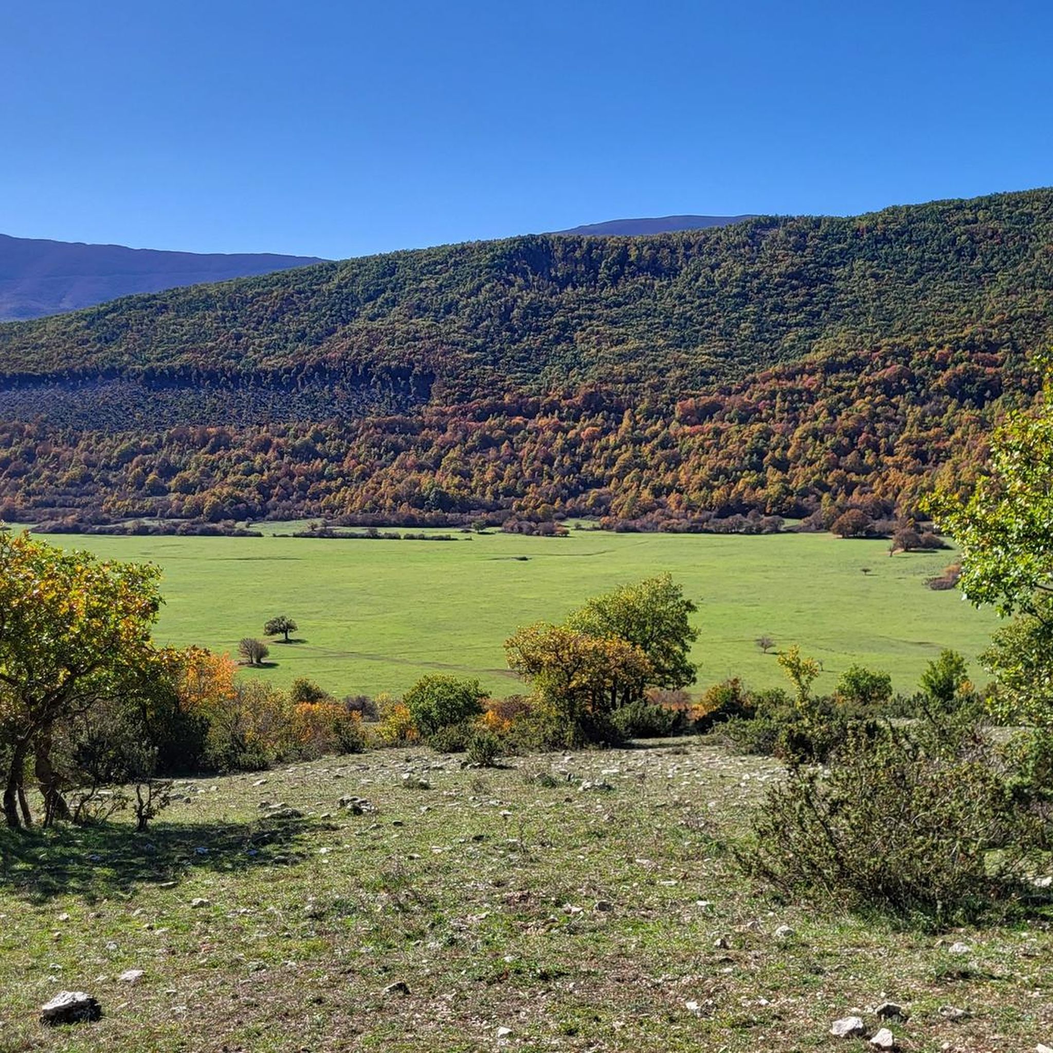
About 300 meters from the locality “Ricciriglio” you arrive near a large boulder (on the left of those climbing) which gives its name to the locality “Pietra Vecchia”. In this place, according to an ancient legend, it is told that the devil appeared to the Madonna and was immediately put to flight by Her: a little further on, in fact, there is a rock that still bears the imprint of his claws. As a reminder, all pilgrims who are about to climb throw a stone onto it, with the aim of leaving sin there and going to the Sanctuary purified.
1
0

highest peak of the Ernici mountains, beautiful panorama over the main Abruzzo massifs and up to the Lazio islands
1
0

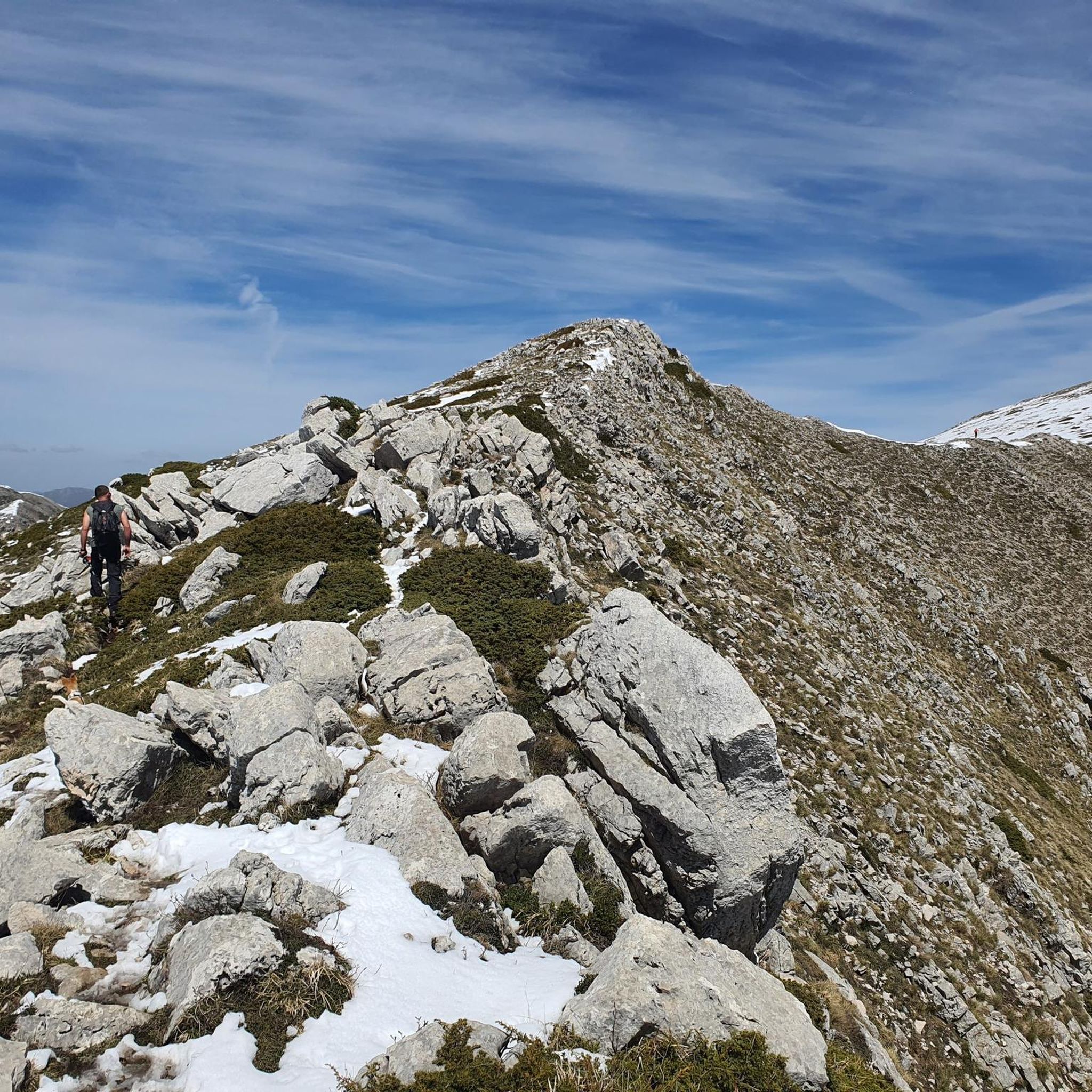
It is the highest peak overlooking the plain of Prato di Campoli. The ridge path that connects it to Pizzo Deta offers splendid views of the Ernici Mountains. The wallpapers under the top in the period of June are colored with splendid Gentian blooms
1
0

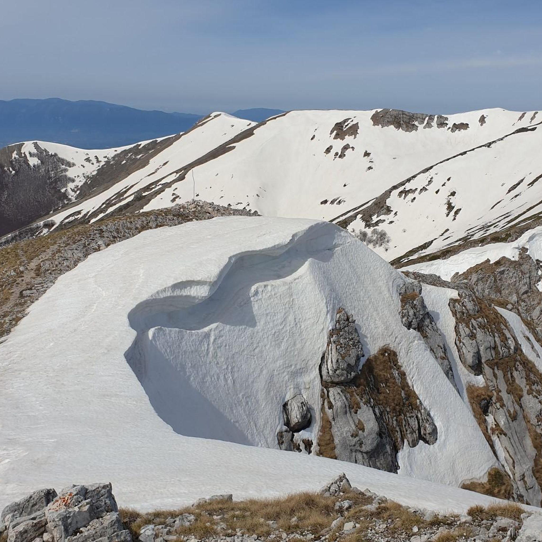
At an altitude of 1860 m asl is the Sant'Elia pass. Once you reach the top, the effort is over, you can enjoy the view and then head downhill.
1
0

Frequently Asked Questions
How many hiking trails are available in San Vincenzo Valle Roveto?
There are over 80 hiking routes around San Vincenzo Valle Roveto, offering a wide range of experiences. These include paths through river valleys, extensive woods, and challenging mountain ascents.
Are there easy hiking trails suitable for beginners or families?
Yes, the region offers trails for various ability levels. While many routes are challenging, there are also easier paths. For example, several "Country Fountain" loops from Balsorano are suitable for all skill levels, providing accessible options for families or beginners.
Can I find circular hiking routes in the area?
Yes, many routes in San Vincenzo Valle Roveto are designed as loops. A notable example is the Mount Passeggio – Monte Pratillo Summit loop from Rendinara, which offers impressive mountain views. Another is the Monte Ginepro – Monte Cappello loop from Rendinara, providing a challenging ascent.
What natural attractions or viewpoints can I expect to see on the trails?
The trails often lead to stunning natural features and viewpoints. You can reach the Monte Viglio summit (2,156 m), offering views of the Fucino plain and several mountain chains. Mount Passeggio also provides splendid panoramic views, especially along its ridge path.
Are there any waterfalls along the hiking routes?
Yes, you can encounter waterfalls in the region. Notable examples include the Small Waterfall and the Cascata della Valle dei Santi, which can be rewarding sights during your hike.
What historical or cultural landmarks can be explored while hiking?
Beyond natural beauty, the trails often pass through historical and cultural sites. You might discover medieval villages, ancient olive oil mills, and terraced fields with dry stone walls. The Trisulti Charterhouse is a significant religious building in the vicinity that can be explored.
What is the typical duration of hikes in this region?
Hikes in San Vincenzo Valle Roveto vary significantly in duration. Shorter, easier paths can take under two hours, while more challenging mountain routes, like the Mount Passeggio – Monte Pratillo Summit loop, can take nearly 7 hours to complete.
What do other hikers say about the trails in San Vincenzo Valle Roveto?
The hiking routes in San Vincenzo Valle Roveto are highly rated by the komoot community, with an average score of 4.5 stars from over 300 reviews. Hikers often praise the diverse landscapes, from river valleys to mountain peaks, and the well-documented nature of the trails.
When is the best time of year to go hiking in San Vincenzo Valle Roveto?
The region is suitable for hiking across multiple seasons. Spring brings remarkable wild rose flowerings in areas like Val di Rose, while autumn offers pleasant temperatures and vibrant foliage. Summer is ideal for higher altitude trails, and some routes may be accessible for winter hiking, though conditions can be challenging.
Are there any specific trails that offer panoramic views of the surrounding mountains?
Absolutely. Trails leading to peaks like Monte Viglio and Monte Passeggio are renowned for their extensive panoramic views, which can stretch across the main Abruzzo massifs and even to the Lazio islands on clear days.
What kind of terrain can I expect on the hiking trails?
The terrain is highly varied, ranging from gentle paths through extensive olive groves and along the Liri River to steep, challenging ascents in the Ernici Mountains. You'll encounter woods, meadows, and rocky mountain paths, catering to different preferences and fitness levels.
Are there trails that pass through olive groves or along the Liri River?
Yes, the landscape is notably adorned with extensive olive groves, and trails like the "Trekking Degli Ulivi" specifically highlight this feature, combining hiking with the discovery of ancient olive oil production practices. The Liri River valley also forms a picturesque setting, with many routes offering views or sections along its course.
Most popular attractions around San Vincenzo Valle Roveto

Get inspired with the komoot mobile app


Explore more
Browse the best Hikes in other regions.
