The best walks and hikes around Sant'Angelo In Vado
4.4
(541)
1,785
hikers
120
hikes
Hiking around Sant'Angelo In Vado offers diverse terrain within the upper Metauro River valley, set against the backdrop of the Apennine foothills. The region features rolling Marche hills, dense forests, and varied landscapes shaped by the river and surrounding mountains. Trails often traverse valleys, ascend to panoramic viewpoints, and explore natural features like the Sasso Waterfall. This area provides a range of outdoor experiences for hikers.
Best hiking trails around Sant'Angelo In Vado
- The most popular hiking route is Charcoal…
Last updated: June 29, 2026
1
hikers
13.9km
04:25
550m
550m
Hike the moderate Borgo Pace – loop tour, an 8.7-mile route with 1803 feet of elevation gain and panoramic views of Alpe della Luna.
11
hikers
5.52km
01:31
90m
90m
Easy hike. Great for any fitness level. Easily-accessible paths. Suitable for all skill levels.

Sign up for free
5.0
(1)
12
hikers
14.4km
04:05
320m
320m
Moderate hike. Good fitness required. Easily-accessible paths. Suitable for all skill levels.
5.0
(2)
8
hikers
10.3km
03:10
290m
290m
Moderate hike. Good fitness required. Mostly accessible paths. Sure-footedness required.
3.0
(1)
2
hikers
5.95km
02:06
340m
350m
Moderate hike. Good fitness required. Easily-accessible paths. Suitable for all skill levels.
Get access to more routes and recommendations from other explorers.
Sign up for free
Already have an account?
Our route recommendations are based on thousands of hikes, rides, and runs completed by other people on komoot.
Start today with a free account
Your next adventure awaits.
Login or Signup
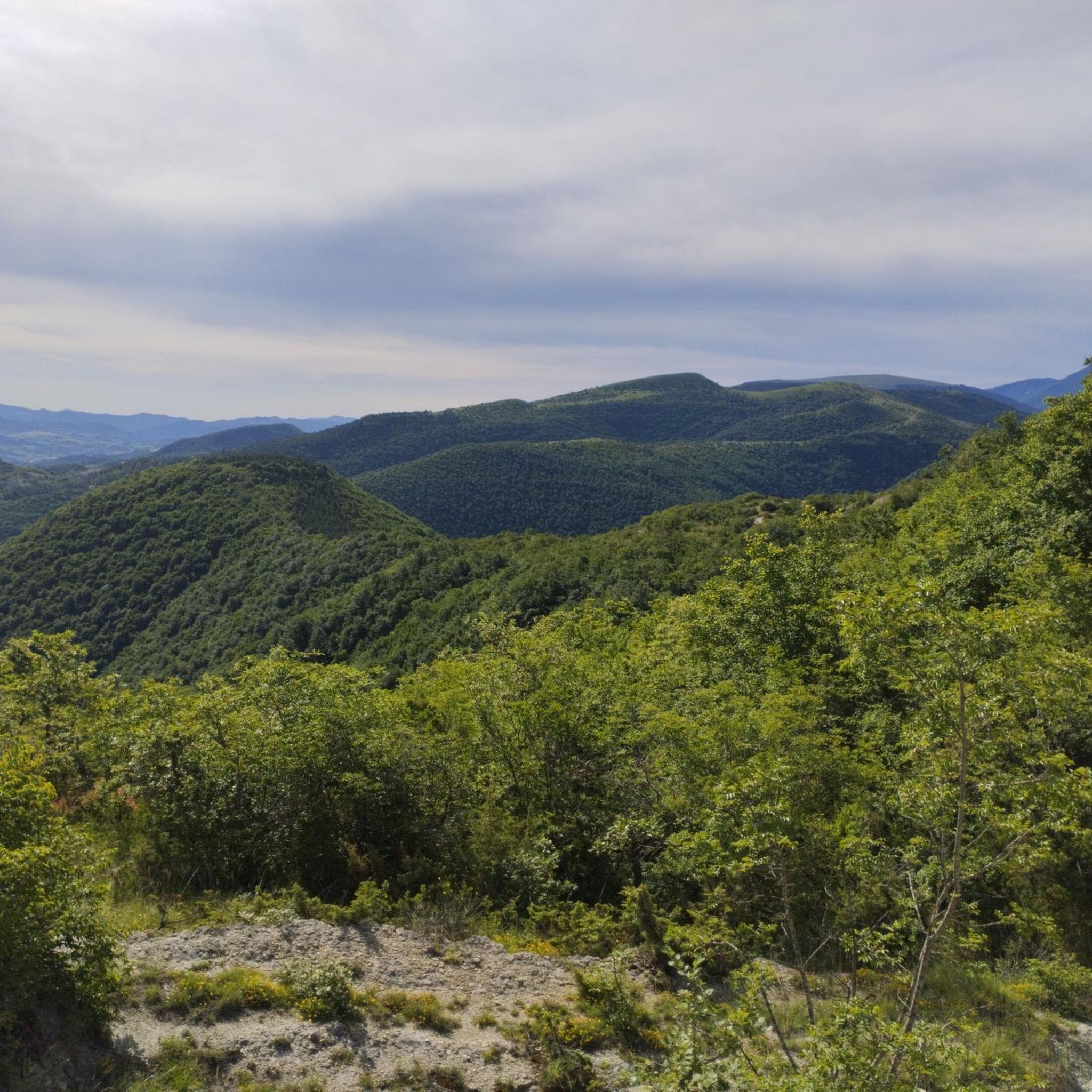
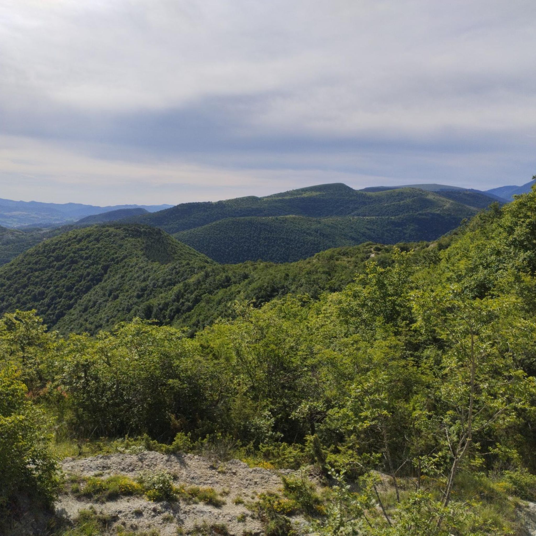
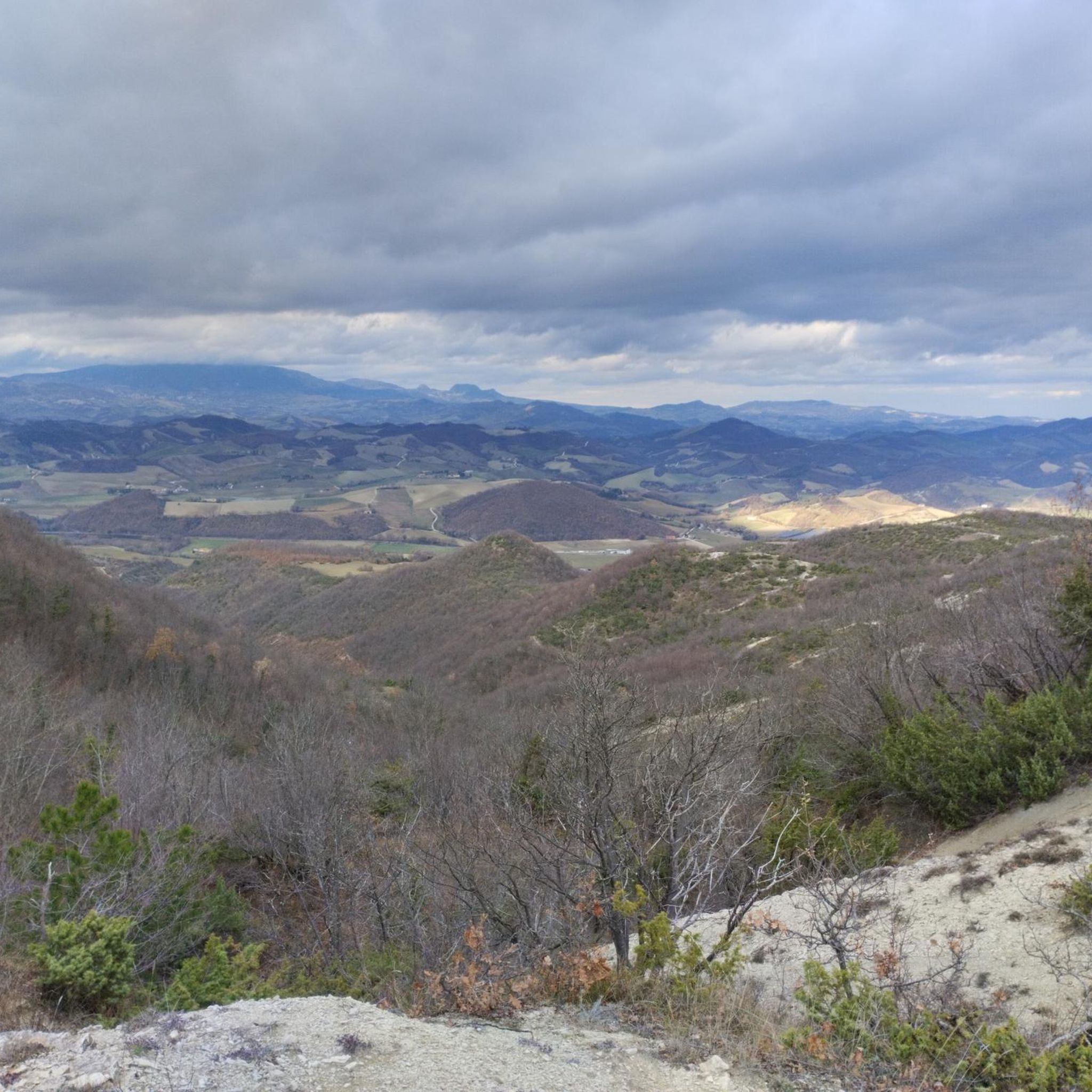
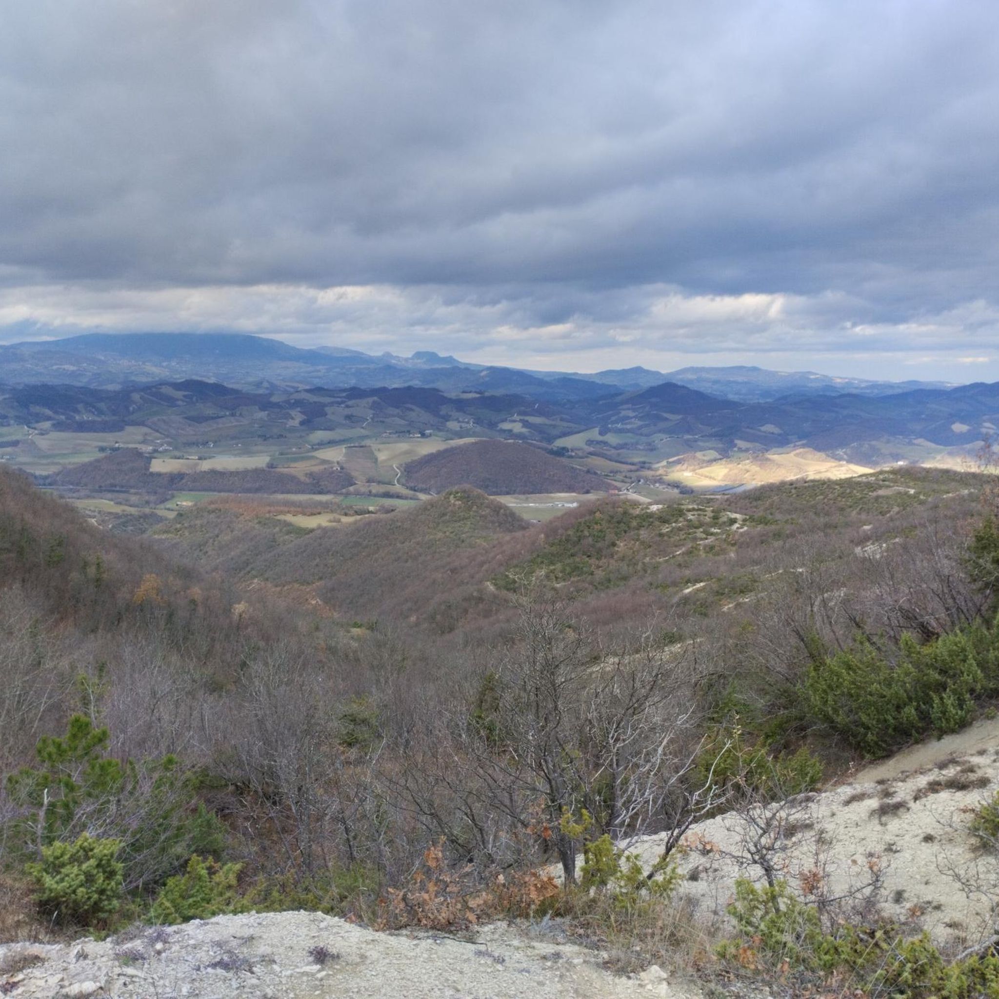

Tips from the Community

After a short hike from the town center of Urbania, you reach this small former hunting lodge of the Count. Apparently only open for organized tours, but you can have a nice walk in the park behind it.
0
0
The path is signposted and very nice if you want to do a shorter hike. Just be careful - you can only cross the ford of the side stream in summer. So not recommended in spring/winter.
0
0

The Sentiero del Carbonaio is a fascinating route that winds through the Marche Apennines. Even today, it is possible to come across the evocative piles of wood that the charcoal burners, with great dedication, transform into valuable coal.
0
0

Monte Pianacci is located at 733 meters. Its location is close to Palazzo Mucci, a charming rural village located at an altitude of 619 meters in the picturesque Valle dell'Auro.
0
0
The Sentiero del Carbonaio takes hikers through the picturesque landscapes of the Marche Apennines, where coal production was normal in the past. There are signs along the way explaining the process.
1
0

The Castello della Pieve was built near an ancient pagan temple dedicated, according to tradition, to the God of the river Metauro. The Castle was built after the disintegration of the Roman Empire in the 12th century, it was fortified to defend the ancient Pieve d'Ico, current Mercatello sul Metauro. With its high towers in large stone ashlars, the armigers defended this noble land from the intrigues of errant knights and from the conspiracies of the powerful. The Medieval Castle thus played an important role in the military geography of Massa Trabaria, Guelph stronghold and Vassalla of the Holy See.
0
0

Stop, take a breath and admire
1
0
Frequently Asked Questions
How many hiking trails are available around Sant'Angelo In Vado?
There are over 100 hiking routes around Sant'Angelo In Vado, offering a wide range of options for outdoor enthusiasts. These trails explore the diverse terrain of the upper Metauro River valley and the Apennine foothills.
What are the different difficulty levels for hiking trails in Sant'Angelo In Vado?
The trails around Sant'Angelo In Vado cater to various fitness levels. You'll find 11 easy routes, 73 moderate routes, and 22 more challenging trails, ensuring there's something for everyone from casual walkers to experienced hikers.
Are there any family-friendly hiking options in Sant'Angelo In Vado?
Yes, Sant'Angelo In Vado offers several family-friendly trails. The region's diverse landscapes include enchanted woods and flowery meadows, perfect for a peaceful outing. Look for easier routes that are shorter in distance and have less elevation gain for a comfortable family experience.
Can I bring my dog on the hiking trails around Sant'Angelo In Vado?
Many trails in the Sant'Angelo In Vado area are suitable for dogs, especially those winding through forests and along riverbanks. It's always recommended to keep your dog on a leash, especially in areas with wildlife or near agricultural land, and to carry water for both yourself and your pet.
What natural landmarks or viewpoints can I expect to see on hikes in this region?
The area boasts stunning natural features. You can explore the majestic Sasso Waterfall (Cascata del Sasso), a significant natural attraction with a 12-meter drop. Other notable points include Monte Nerone and Monte Petrano, which offer splendid panoramic views of the valley. You might also encounter highlights like Windy Pastures on Monte Nerone or Sasso Simone.
Are there any historical sites or castles to explore near the hiking routes?
Yes, the region is rich in history. You can discover historical sites like Mondelacasa Castle (the Muracci). Other nearby castles include Brancaleoni Castle of Piobbico and Rocca di Sassocorvaro, offering a glimpse into the area's past.
Are there any circular hiking routes available?
Yes, several circular routes are available. A notable example is the Charcoal Burner's Trail and Castello de Pieve Loop, which is 13.9 km long and takes about 4 hours and 25 minutes to complete. Another option is the Oratory of the Carmine – Teatro Brancati loop from Urbania, a moderate 9.4 km path.
What is the best time of year to go hiking in Sant'Angelo In Vado?
The region is beautiful throughout the year, but spring and autumn generally offer the most pleasant hiking conditions with mild temperatures and vibrant scenery. Summer can be warm, making early morning or late afternoon hikes preferable, especially on shaded trails. Winter hiking is also possible, particularly on lower elevation routes.
Are there any easy hiking trails suitable for beginners?
Yes, there are 11 easy routes around Sant'Angelo In Vado. For instance, the Civic Museum of the Ducal Palace – View of Palazzo Ducale loop from Urbania is an easy 3.7 km trail, perfect for a leisurely walk.
What do other hikers enjoy most about the trails in Sant'Angelo In Vado?
The area is highly rated by the komoot community, with an average score of 4.5 stars from over 480 reviews. Hikers often praise the diverse terrain, from rolling hills to dense forests, and the scenic beauty of the Metauro River valley and Apennine foothills. The well-maintained paths and opportunities to discover natural and historical landmarks are also frequently highlighted.
Are there any places to eat or get refreshments near the hiking trails?
Sant'Angelo In Vado and nearby towns offer various cafes, restaurants, and accommodation options. Some trails, like those near the Sasso Waterfall, even have equipped picnic areas for a relaxing break amidst nature. It's advisable to check local listings for specific establishments along your chosen route.
Is public transport available to reach the trailheads?
While specific public transport details for every trailhead can vary, Sant'Angelo In Vado is a well-connected town. For detailed information on bus routes and schedules to reach specific starting points, it is best to consult local transport services or the official tourism website for Sant'Angelo In Vado: visitsantangeloinvado.it.
Most popular routes around Sant'Angelo In Vado
Most popular attractions around Sant'Angelo In Vado

Get inspired with the komoot mobile app


Explore more
Browse the best Hikes in other regions.
