The 13 Most Amazing Peaks around Piandimeleto
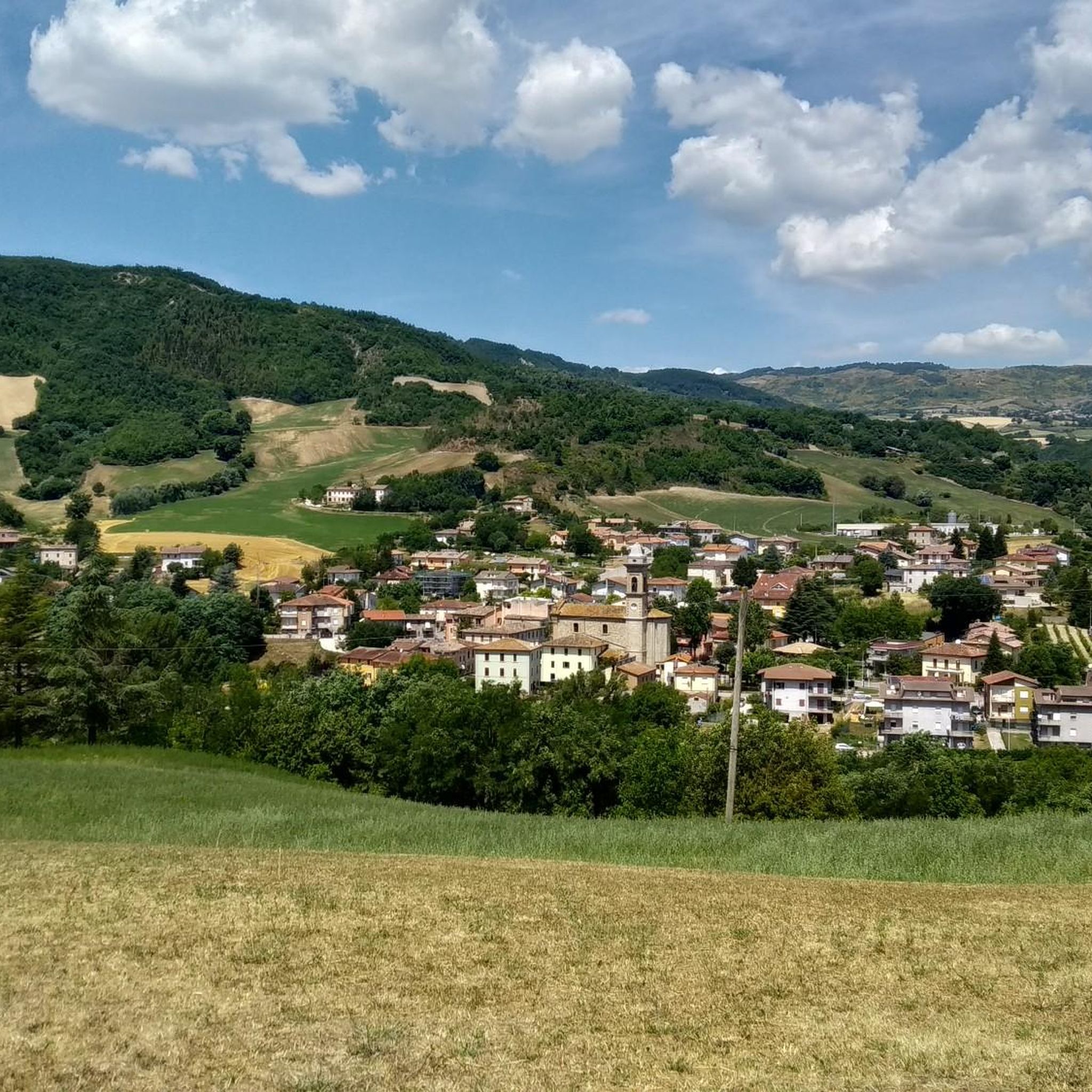
Best mountain peaks around Piandimeleto are found within the verdant hills of the Montefeltro region and the wider Pesaro e Urbino province. This area offers diverse opportunities for hiking and experiencing mountainous landscapes. While Piandimeleto itself is nestled among hills, the surrounding region features notable geological formations and prominent peaks. Visitors can explore a variety of natural landmarks and enjoy panoramic views across the Apennines.
Best mountain peaks around Piandimeleto
- The most popular mountain peaks is Passo Marco Pantani (Cippo…
Last updated: July 1, 2026
Passo Marco Pantani (Cippo di Carpegna)
Highlight (Segment) • Mountain Pass
Translated by Google •
Tip by

Sasso Simone
Highlight • Natural Monument
Translated by Google •
Tip by

Sign up now to discover places like this
Get recommendations on the best single tracks, peaks, & plenty of other exciting outdoor places.
Sign up for free
Croce dei Salti
Highlight • Viewpoint
Translated by Google •
Tip by

Summit of Monte Carpegna
Highlight • Summit
Translated by Google •
Tip by
Le Fontanelle Hut
Highlight • Mountain Hut
Translated by Google •
Tip by

Sign up for free to discover even more peaks around Piandimeleto.
Sign up for free
Already have an account?
Start today with a free account
Your next adventure awaits.
Login or Signup
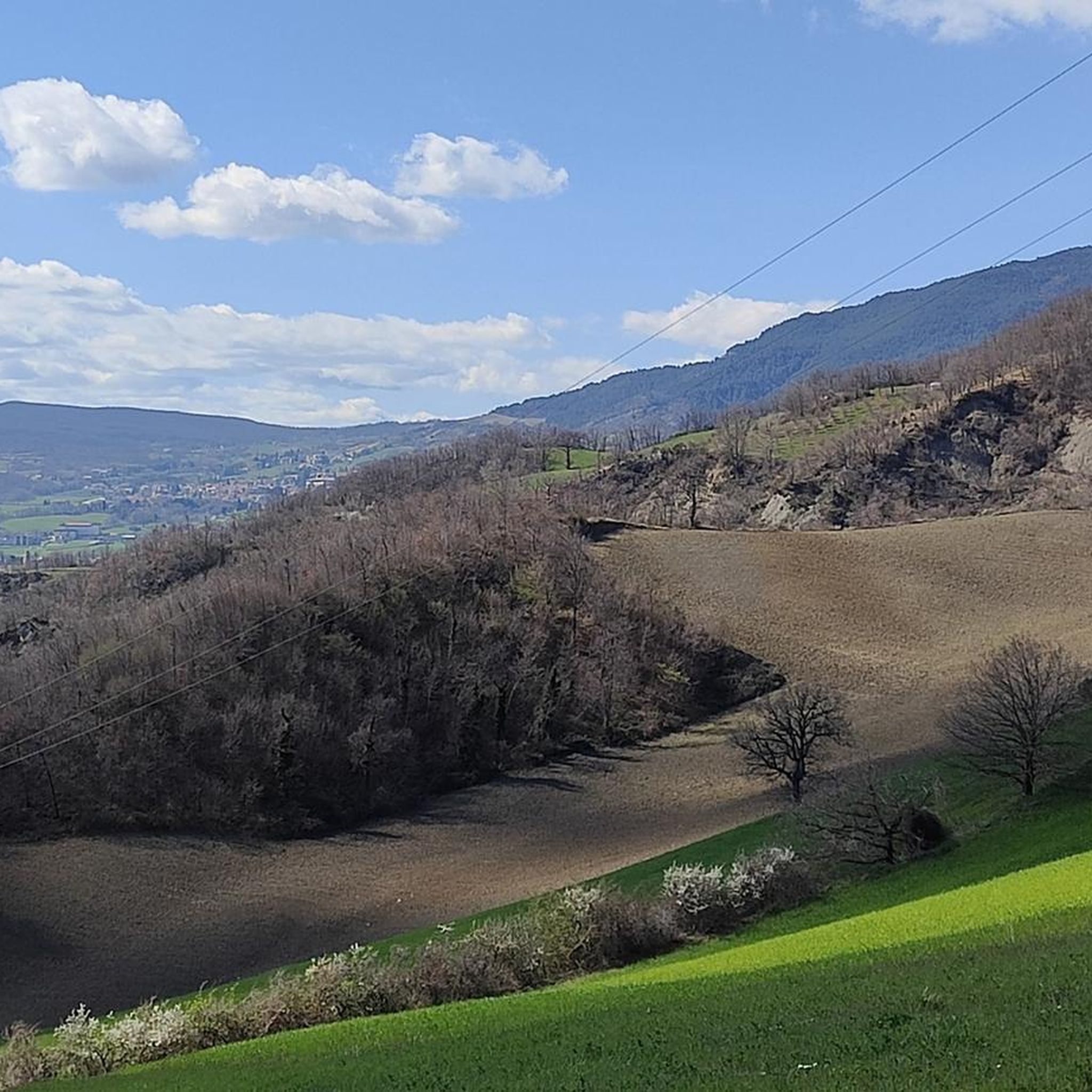
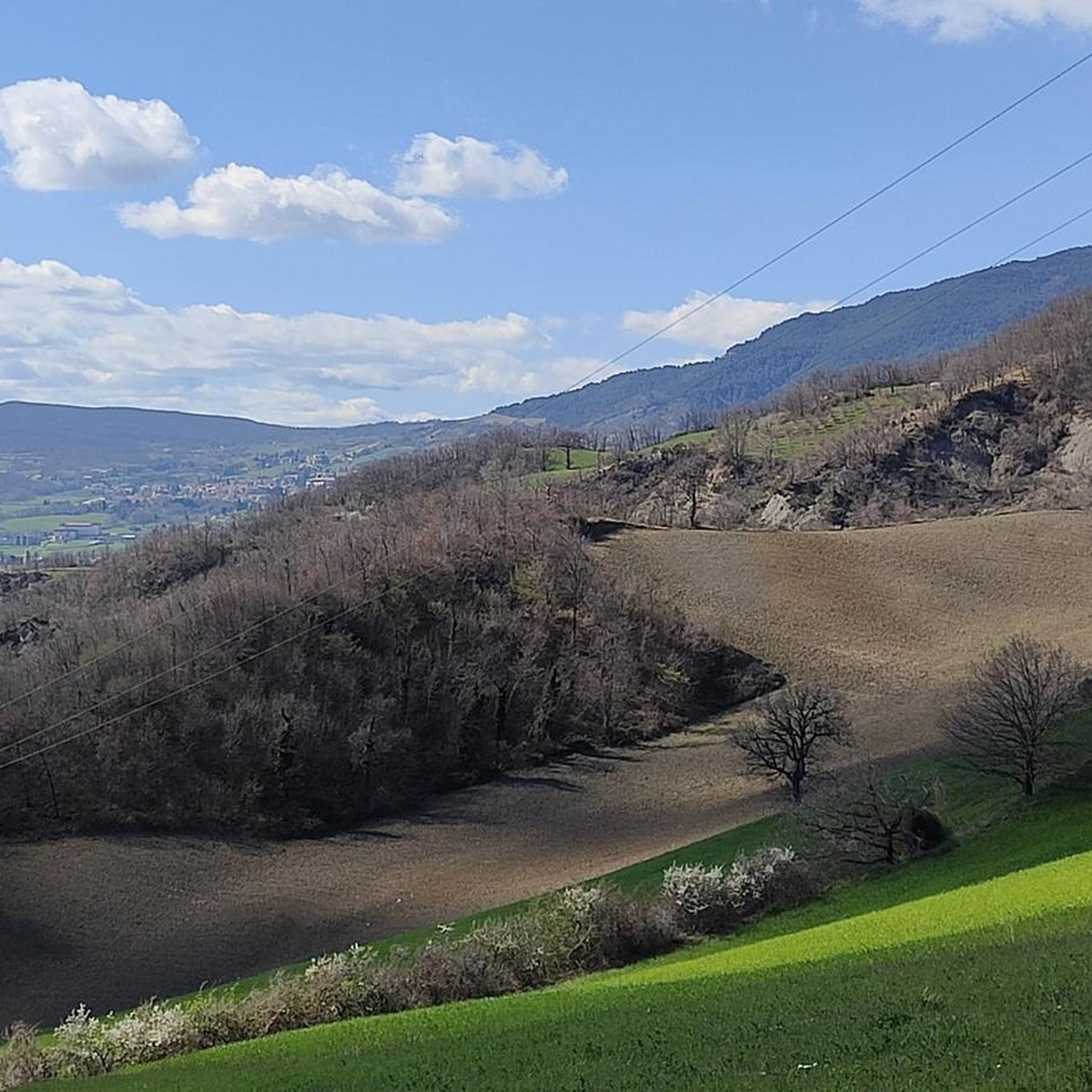
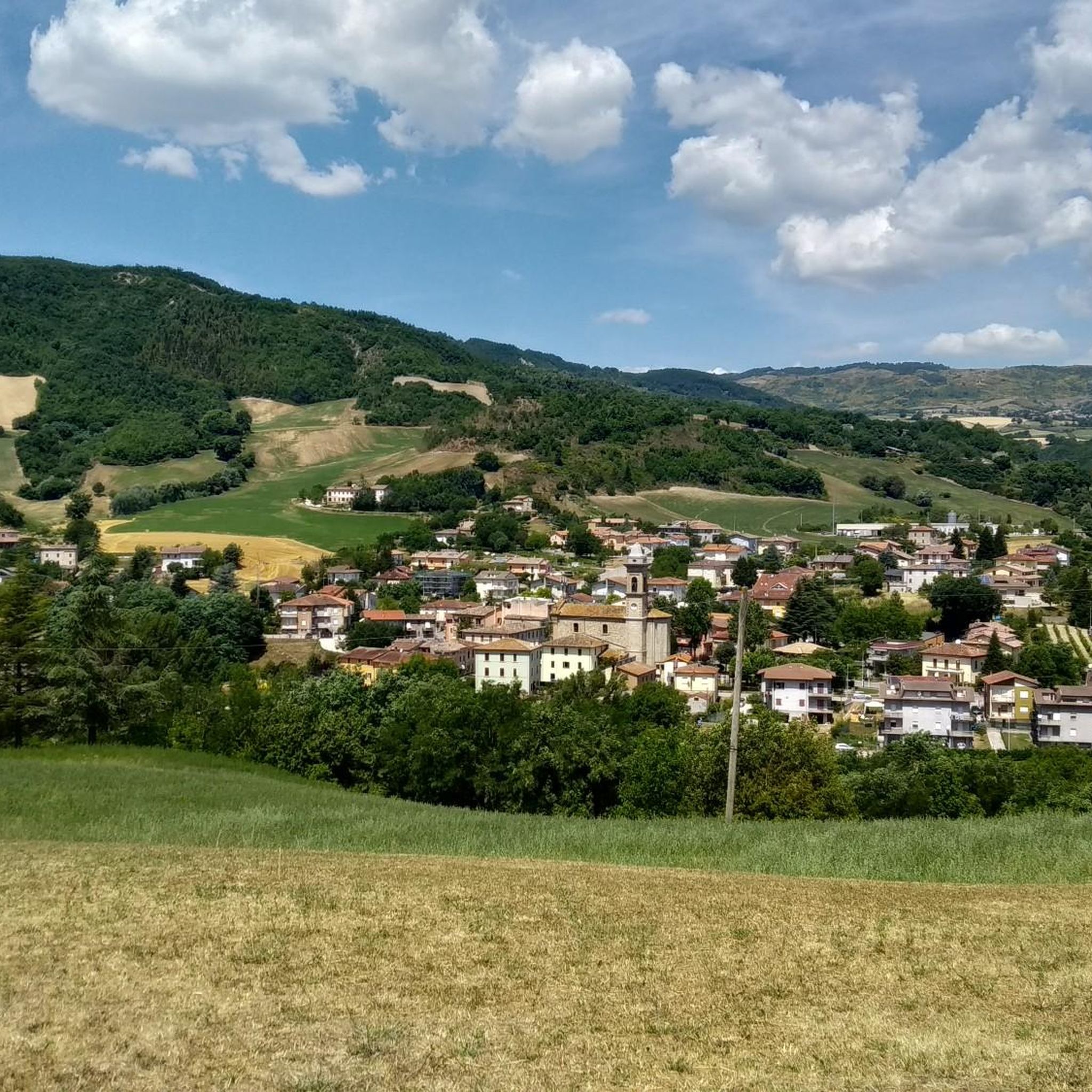
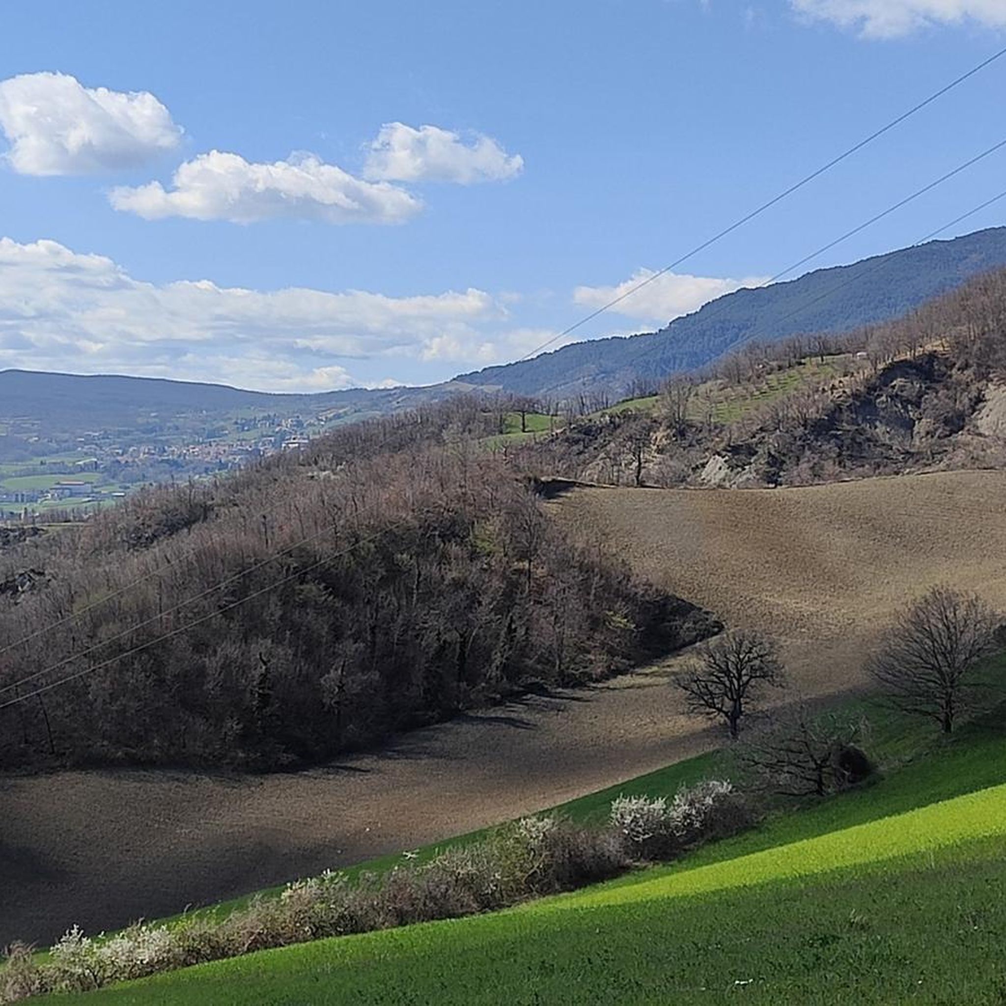

Tips from the Community

Perhaps, in front of this small sacred monument, which the hiker encounters here in the form of a cross, a few short sentences by Pope Francis, who died on Easter Monday last year, might be of interest (address of April 5, 2024): “Feel called (...) to carry into the Church and into the world a little of this immeasurable love that compelled Jesus to die for us on the cross. May the intimate closeness to Him, as it did for Francis [of Assisi], make you ever more humble, more united, more joyful, and more essential in your love for the cross and in your concern for the poor, witnesses of peace and prophets of hope in this age of ours, which struggles so much to recognize the presence of the Lord.” (Pope Francis)
0
0


No comments needed, it has to be done... It is worth it for what it represents and also because it is quiet, without traffic.
1
1

This refuge lost in the mountains also allows you to prepare a barbecue, although you still have to bring everything you need there.
3
0
The panoramic view from this place is magnificent.
3
0

Everything is reminiscent of Marco Pantani
0
0

Mount Carpegna is a mountain massif of the Tuscan-Romagna Apennines, located on the border between the provinces of Pesaro and Urbino, Rimini and Forlì-Cesena. The highest peak is Monte Carpegna, which reaches 1,415 meters above sea level. The massif is characterized by beech, oak and chestnut woods, and by meadows and pastures.
0
0

when we went to Rifugio Fontanelle ════════════════════ 155th excursion and 13th time at Monte Carpegna | snowshoeing in Carpegna passing through the Rifugio Fontanelle ════════════════════ 👇 here is the video in 4K 👇 https://youtu.be/pUjGpWCGih8
0
0
Frequently Asked Questions
What are some notable natural features to explore around Piandimeleto's mountain peaks?
The region offers several distinctive natural features. You can explore the unique geological formation of Sasso Simone, a natural monument with historical significance. Another specific natural feature is the Pietrafagnana rock formation, accessible via a moderate hiking loop from Mercato Vecchio. The wider Sasso Simone and Simoncello Regional Natural Park is also known for its varied terrain and natural beauty.
Where can I find the best panoramic views near Piandimeleto?
For breathtaking panoramic views, consider visiting Croce dei Salti, which offers a complete vista of the valley below, including Pietrarubbia castle, the Torrione formation, and the distant reliefs of Monte Nerone and Monte Catria, extending to San Marino. The Summit of Monte Carpegna also provides extensive views of the surrounding landscape, even reaching the sea on clear days.
Are there any historical sites on the mountain peaks around Piandimeleto?
Yes, the area is rich in history. Passo Marco Pantani (Cippo di Carpegna) is a historic climb for the Giro d'Italia and was a famous training ground for cyclist Marco Pantani. Sasso Simone also holds historical interest, with remnants of the Medici's Città del Sole.
What kind of hiking trails are available near Piandimeleto's mountain peaks?
The Sasso Simone and Simoncello Regional Natural Park offers a variety of hiking opportunities, ranging from routes involving about 1,000 feet of elevation gain over two hours to more moderate hikes lasting up to five hours with 3,000 feet of elevation gain. Trails are generally accessible, though some require sure-footedness. You can find challenging running routes like 'From Carpegna to Sasso Simone – Sasso di Simone Nature Reserve' which is over 12 km long, or a moderate 'Running loop from Piandimeleto' at around 10 km. For more options, explore the Running Trails around Piandimeleto guide.
Are there any family-friendly mountain peaks or trails suitable for beginners?
While many trails in the region offer varied terrain, Passo Marco Pantani (Cippo di Carpegna) is listed as family-friendly. For general family-friendly walks, look for paths within the Sasso Simone and Simoncello Regional Natural Park that are described as having varied terrain suitable for different fitness levels. Always check specific trail details for difficulty and length to ensure they match your family's capabilities.
What are the highest mountain peaks in the wider Pesaro e Urbino province?
In the wider Pesaro e Urbino province, where Piandimeleto is located, the most prominent mountains include Monte Catria, standing at 1,701 meters (5,581 ft), and Monte Nerone, reaching 1,525 meters (5,003 ft). These peaks are part of the Apennine range and offer more challenging hikes and extensive views.
What facilities are available at Le Fontanelle Hut?
Le Fontanelle Hut is a small wooden bivouac equipped with cots for sleeping and a brazier for cooking. It also has several grills available. A natural spring nearby provides fresh, cold water. Visitors are encouraged to leave the hut and spring area cleaner than they found it.
What outdoor activities can I do near these mountain peaks besides hiking?
The area around Piandimeleto is excellent for various outdoor activities. You can find numerous mountain biking trails, including challenging routes like 'Monterone Village – Rocca Trail loop from Piandimeleto' or moderate ones such as 'Carpegna boundary stone – Singletrack to Frontino loop from Piandimeleto'. For road cycling enthusiasts, there are difficult routes like 'Passo Cantoniera di Carpegna – Marco Pantani Pass loop from Piandimeleto'. Explore more options in the MTB Trails around Piandimeleto and Road Cycling Routes around Piandimeleto guides.
Are there any restrictions or permits needed for accessing certain mountain areas?
Yes, access to parts of Sasso Simone, specifically the path from Passo Cantoniera, can be restricted. This is because part of the path is located inside the Military Range of Carpegna, and access is prohibited on days when fire drills are in progress. It is advisable to check the current calendar for accessibility before planning your visit.
What kind of wildlife can be found on Monte Carpegna?
The massif of Monte Carpegna is characterized by lush forests of beech, oak, and other species typical of the northern Apennines. Its local fauna includes various birds of prey and mammals such as foxes, roe deer, and wolves.
What do visitors enjoy most about the mountain peaks around Piandimeleto?
Visitors particularly appreciate the diverse natural landscapes, from unique geological formations like Sasso Simone to the extensive panoramic views offered by Summit of Monte Carpegna and Croce dei Salti. The historical significance of places like Passo Marco Pantani also adds to the appeal, making the region a blend of natural beauty and cultural heritage.
Can I bring my dog on the mountain trails near Piandimeleto?
Many outdoor areas in the region are dog-friendly. For example, Passo Marco Pantani (Cippo di Carpegna) is listed as dog-friendly. However, it's always best to check specific trail regulations or park rules, especially within natural parks like Sasso Simone and Simoncello, to ensure dogs are permitted and if any leash requirements apply.
Most popular routes around Piandimeleto
Most popular attractions around Piandimeleto

Get inspired with the komoot mobile app


Explore more
See even more amazing summits around Piandimeleto with these guides:
