The best walks and hikes around Schalkenbach
4.5
(2796)
12,615
hikers
23
hikes
Hiking around Schalkenbach offers diverse landscapes within Germany's Ahrweiler region, characterized by rolling hills, vineyards, and features of the Vulkaneifel. The area includes dense forests, picturesque juniper heath, and the Rodder Maar, a notable geological formation. Its location at the edge of the Ahr valley provides varied terrain for outdoor exploration.
Best hiking trails around Schalkenbach
- The most popular hiking route is Schirmau Forest Estate – Weiselstein Observation Tower loop from Schalkenbach, a 6.8 miles (10.9 km) moderate trail…
Last updated: August 11, 2026
4.6
(31)
127
hikers
Moderate hike. Good fitness required. Easily-accessible paths. Suitable for all skill levels.
5.0
(6)
29
hikers
Moderate hike. Good fitness required. Easily-accessible paths. Suitable for all skill levels.

Sign up for free
4.7
(3)
17
hikers
15.1km
04:12
290m
290m
Moderate hike. Good fitness required. Easily-accessible paths. Suitable for all skill levels.
4.8
(4)
12
hikers
Easy hike. Great for any fitness level. Easily-accessible paths. Suitable for all skill levels.
4.0
(3)
18
hikers
Easy hike. Great for any fitness level. Easily-accessible paths. Suitable for all skill levels.
Get access to more routes and recommendations from other explorers.
Sign up for free
Already have an account?
Our route recommendations are based on thousands of hikes, rides, and runs completed by other people on komoot.
Start today with a free account
Your next adventure awaits.
Login or Signup
Tips from the Community

Oberdürenbach with the districts of Büschhöfe and Schelborn is located in a charming landscape near the Königssee. The basalt quarry has filled with groundwater over time and has become a nature reserve for fauna and flora. The Olbrück Castle, the Schirmau forest estate, and the Rodder Maar (a renaturalized biotope) are rewarding and relaxing destinations for hikers. The village scene is characterized by historic half-timbered houses and numerous new buildings with well-kept outdoor areas. A lively club life shapes the community spirit in the village. It is about a 10-minute drive to the A 61 motorway entrance, Niederzissen junction. From all 3 districts, there is a bus connection to public transport in the Ahrweiler district. https://www.brohltal-verwaltung.de/ortsgemeinden/oberduerenbach/
1
0

A short, easy tour. Beautifully crafted sculptures. True art. A must-see.
1
0
"If you are in pain, go to your mother and tell her, and she will help you." https://schalkenbach.orts.app/-kapelle-maisbuesch_PotU
0
0

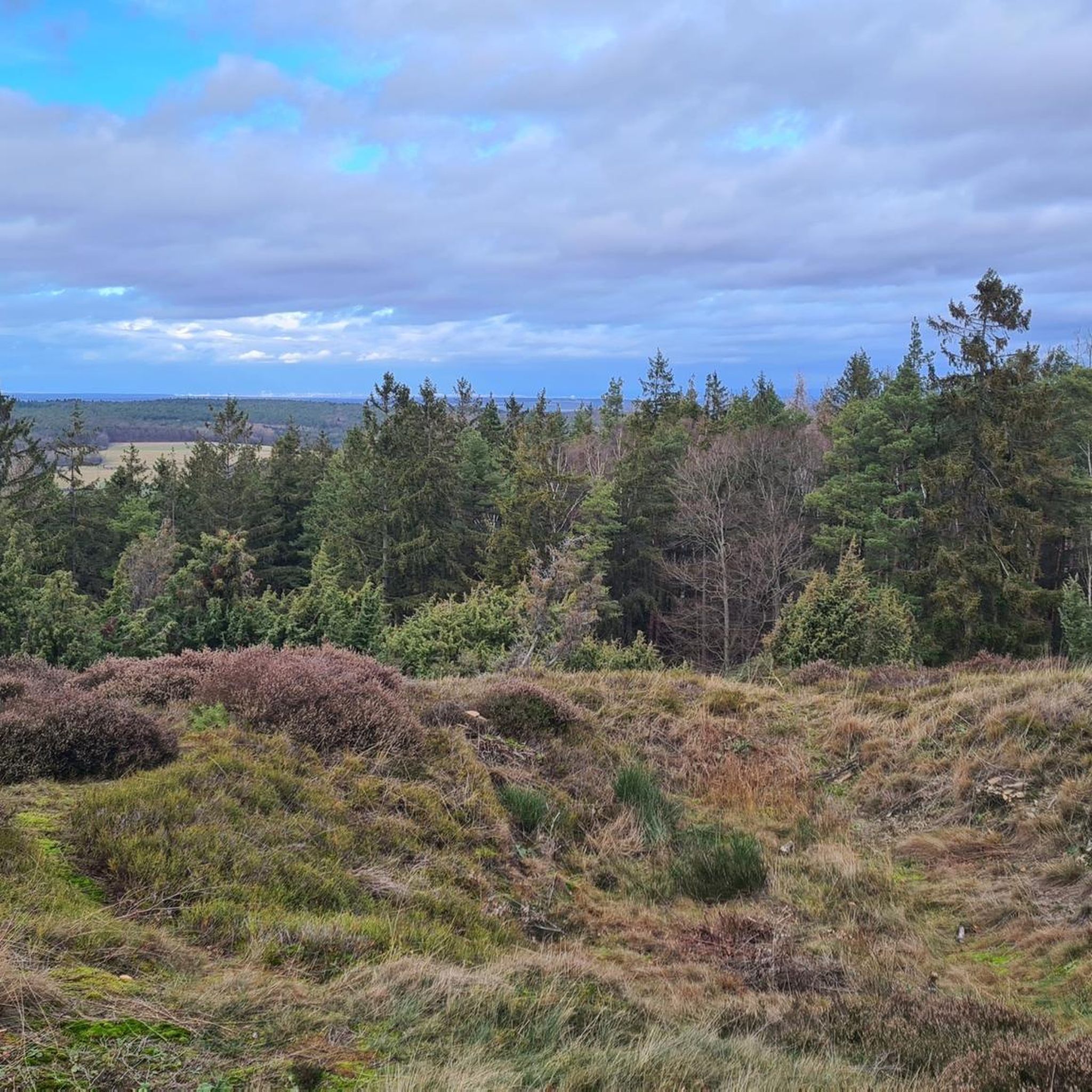
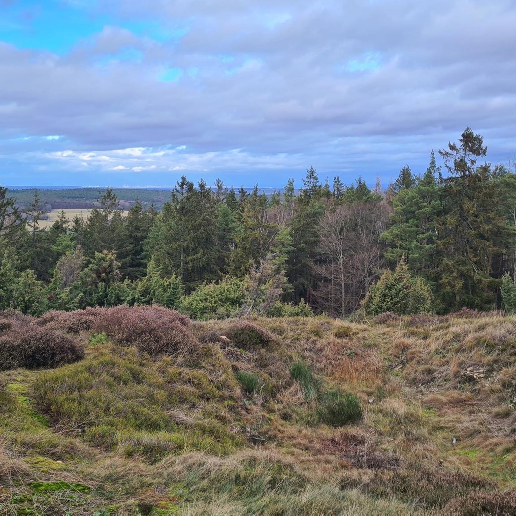
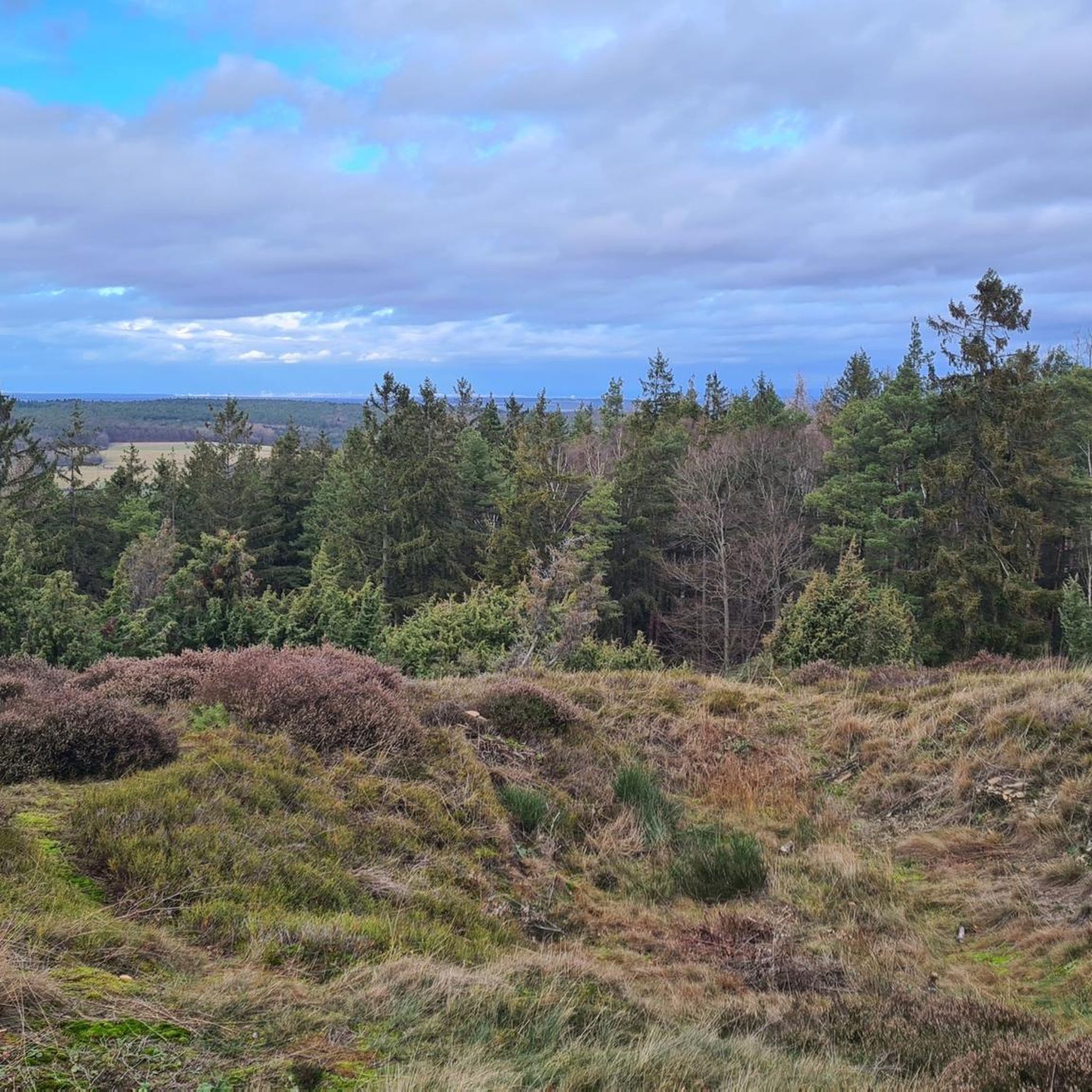
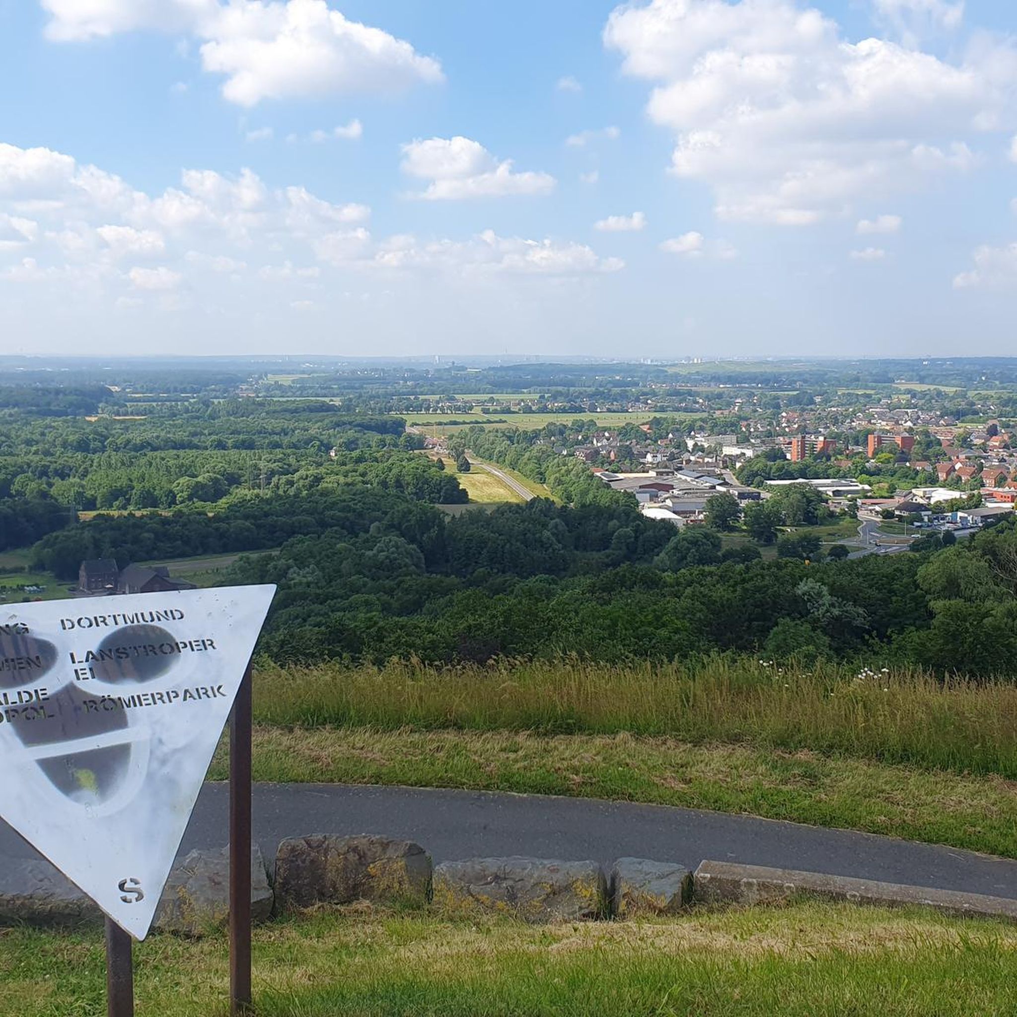
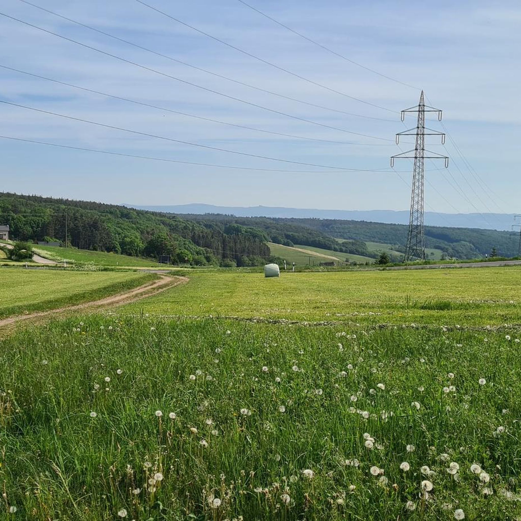
Great views of the Eifel, the Westerwald, towards Cologne or Koblenz
0
0

Beautiful circular trail in the Vinxtbachtal
1
0
One of the most beautiful hiking tours in the Eifel
1
0

The view from this spot allows you to see two highlights at once: Directly in front of you, the water surface of the "Rodder Maar" glitters, a popular destination for hikers or walkers, and from the wooded mountain in the background rises the (rebuilt) tower of the Olbrück, also a striking landmark of this region.
13
0
East of Oberdürenbach lies the former basalt cone "Steinberg" (Steimerich), one of the three Tertiary volcanoes in the Brohltal. The quality of the basalt rock was excellently suited for road construction (cobblestones), as track ballast or as basalt chippings. As early as 1870, there were interested parties who considered the industrial extraction of this natural treasure. In the 1920s, Steinhandel Rauen AG from Mühlheim/Ruhr acquired the concession for operating the quarry on the Steinberg in order to extract the coveted natural stone on a large scale. For this purpose, the company built a large gravel plant in Oberzissen in 1924. Initially, the material was transported there by horse-drawn and ox-drawn carts. From 1925 onwards, the construction of a cable car created a practical connection between the quarry and the gravel plant. Further transport of the stone material to the Rhine port in Brohl was carried out by the Brohltalbahn. From Brohl, the building material for road construction, for bank reinforcements on rivers, canals and the sea, continued to destinations at home and abroad by ship or Reichsbahn. After a short time, the hilltop disappeared. Over the years, the workers created an almost 75 m deep funnel with their pneumatic drills. In the process, they encountered two springs that yielded over 30 cubic meters per day. These water masses had to be pumped out every day before work began. During World War II, work on the Steimerich was stopped. In a very short time, the quarry filled with spring water. This created a lake of about one hectare with a water depth of up to 30 m. Even during the war, the clean water was used for swimming. The idea of reactivating the quarry in the 1950s was quickly abandoned. The Rauen company preferred to invest in the already existing quarry on the Hannebacher Ley... CONTINUATION and FURTHER INFORMATION: https://www.osteifel-aktiv.de/41527/41928.html
1
0
Frequently Asked Questions
What types of hiking trails are available in Schalkenbach, and what are their difficulty levels?
Schalkenbach offers a diverse range of hiking trails, with over 20 routes to explore. You'll find options for all abilities, including 12 easy trails, 11 moderate routes, and 1 more challenging hike. The terrain varies from rolling hills and vineyards to dense forests and the unique landscapes of the Vulkaneifel.
What kind of natural features and landscapes can I expect to see while hiking in Schalkenbach?
Hikers in Schalkenbach can experience a rich variety of landscapes. The region is characterized by the picturesque Ahr Valley vineyards, the volcanic terrain of the Vulkaneifel, and extensive forests and juniper heath. Notable natural features include the Rodder Maar, a significant geological formation, and scenic views of the Königssee and Laach Lake.
Are there any family-friendly hiking trails in Schalkenbach?
Yes, Schalkenbach offers several family-friendly hiking options. Many of the 12 easy trails are suitable for families, providing pleasant walks through varied landscapes without significant challenges. These routes often lead through forests and offer opportunities to enjoy nature at a relaxed pace.
Can I bring my dog on the hiking trails in Schalkenbach?
Most hiking trails in Schalkenbach are dog-friendly, allowing you to enjoy the beautiful scenery with your canine companion. It's always recommended to keep dogs on a leash, especially in nature reserves or areas with wildlife, and to respect local regulations.
What are some notable landmarks or viewpoints I can discover on hikes around Schalkenbach?
Hiking around Schalkenbach offers access to several interesting landmarks and viewpoints. You can visit the Krausberg Tower or enjoy panoramic views from the View from Schrock. The Devil's Hole is another natural monument worth exploring. Many routes also offer glimpses of the Saffenburg Castle Ruins or the impressive Maria Laach Monastery.
Are there circular hiking routes available in Schalkenbach?
Yes, Schalkenbach features numerous circular hiking routes, perfect for those who prefer to start and end their journey in the same location. A popular option is the Rodder Maar – Schirmau Forest Estate loop from Schalkenbach, which takes you through the Rodder Maar and the scenic forest estate.
What is the best time of year to go hiking in Schalkenbach?
The best seasons for hiking in Schalkenbach are generally spring and autumn. During these times, the landscape is particularly vibrant, with colorful flower meadows in spring and bright autumn leaves. Temperatures are also pleasant, making for ideal hiking conditions. While winter hiking is possible, some trails might be less accessible depending on snow and ice.
Are there any easy trails that offer good views in Schalkenbach?
For an easy hike with rewarding views, consider the Weiselstein Observation Tower – View of the Siebengebirge loop from Schalkenbach. This 5.7 km trail is rated easy and provides excellent vistas, including distant views of the Siebengebirge, from the Weiselstein Observation Tower.
What do other hikers say about the trails in Schalkenbach?
The hiking trails in Schalkenbach are highly regarded by the komoot community, holding an average rating of 4.5 stars from over 2400 reviews. Hikers often praise the diverse landscapes, including the Ahr Valley vineyards and Vulkaneifel terrain, as well as the well-maintained paths through forests and heathland.
Are there any historical routes or sites to explore while hiking in Schalkenbach?
Yes, the region around Schalkenbach is rich in history. You can explore 'Historic Routes' such as the Köhler- und Loheweg, Eisenweg, and Wacholderweg. These trails offer insights into the area's historical land use, with some dating back to Roman times, adding a cultural dimension to your hike.
Are there any cafes or places to stop for refreshments along the hiking routes in Schalkenbach?
While specific cafes directly on every trail are not guaranteed, the region around Schalkenbach, particularly in nearby villages and towns, offers opportunities for refreshments. Many routes are designed to pass through or near settlements where you can find local eateries and cafes to take a break.
What is the longest moderate trail available in Schalkenbach?
The longest moderate trail in Schalkenbach is the Rodder Maar – Schirmau Forest Estate loop from Schalkenbach. This route spans 15.1 km and typically takes about 4 hours and 12 minutes to complete, guiding you through the Rodder Maar and the scenic Schirmau Forest Estate.
Most popular routes around Schalkenbach
Most popular attractions around Schalkenbach

Get inspired with the komoot mobile app


Explore more
Browse the best Hikes in other regions.
