The best walks and hikes around Schacht-Audorf
4.8
(190)
690
hikers
41
hikes
Hiking around Schacht-Audorf offers diverse landscapes in northern Germany, characterized by its location along the Kiel Canal and proximity to the Hüttener Berge Nature Park. The terrain features rolling hills, varied forests, and scenic lake views, providing a range of environments for outdoor activities. This region is known for its accessible trails that follow waterways and traverse natural parkland.
Best hiking trails around Schacht-Audorf
- The most popular hiking route is View of the Kiel Canal – Schacht-Audorf Ferry Landing loop…
Last updated: October 16, 2026
4.6
(75)
243
hikers
Moderate hike. Good fitness required. Easily-accessible paths. Suitable for all skill levels.
4.8
(22)
77
hikers
6.78km
01:43
20m
20m
Easy hike. Great for any fitness level. Easily-accessible paths. Suitable for all skill levels.

5.0
(12)
35
hikers
Easy hike. Great for any fitness level. Easily-accessible paths. Suitable for all skill levels.
5.0
(4)
12
hikers
Moderate hike. Good fitness required. Easily-accessible paths. Suitable for all skill levels.
15
hikers
3.57km
00:55
10m
10m
Easy hike. Great for any fitness level. Easily-accessible paths. Suitable for all skill levels.
Get access to more routes and recommendations from other explorers.
Already have an account?
Our route recommendations are based on thousands of hikes, rides, and runs completed by other people on komoot.
Start today with a free account
Your next adventure awaits.

Tips from the Community

Always a highlight on an outing
0
0

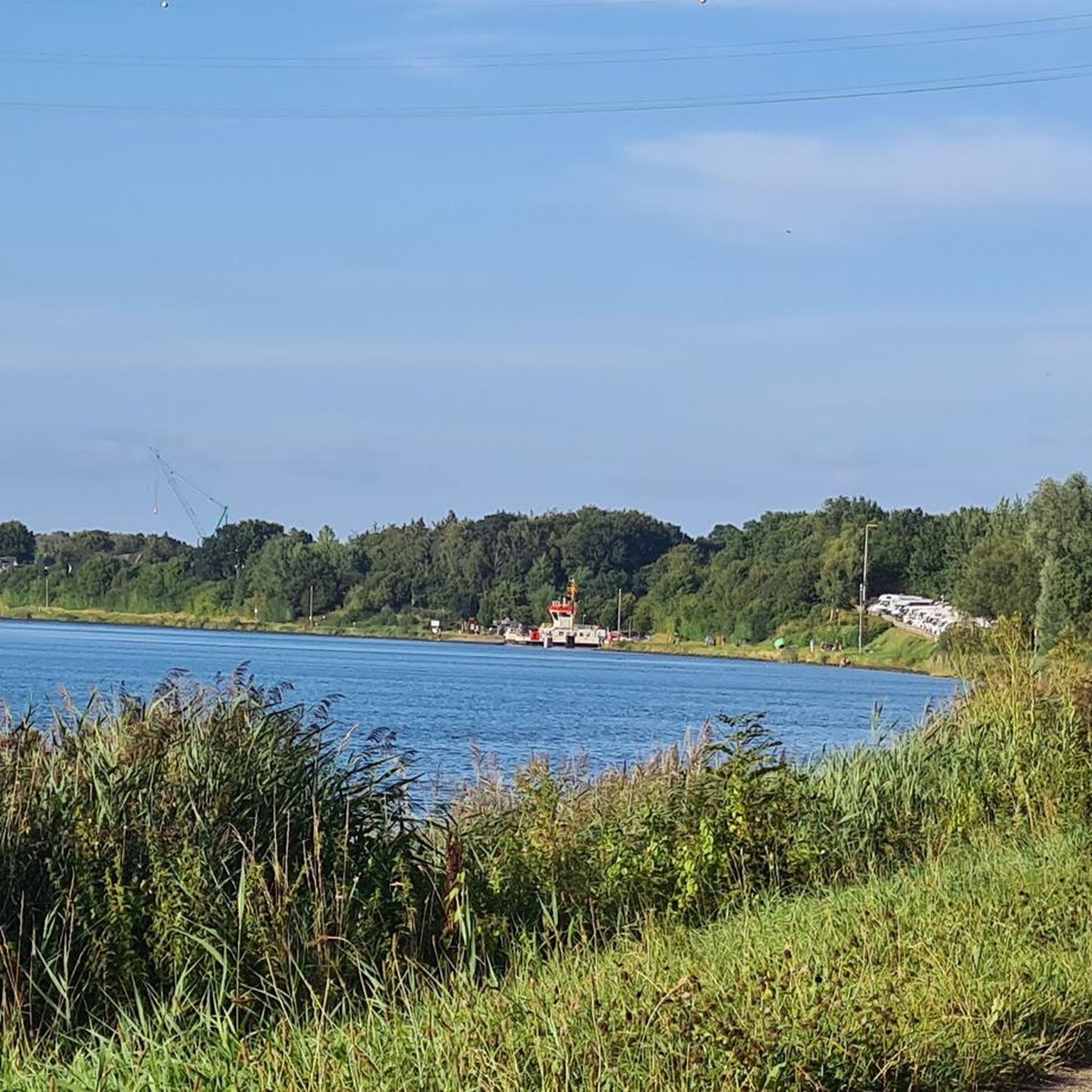
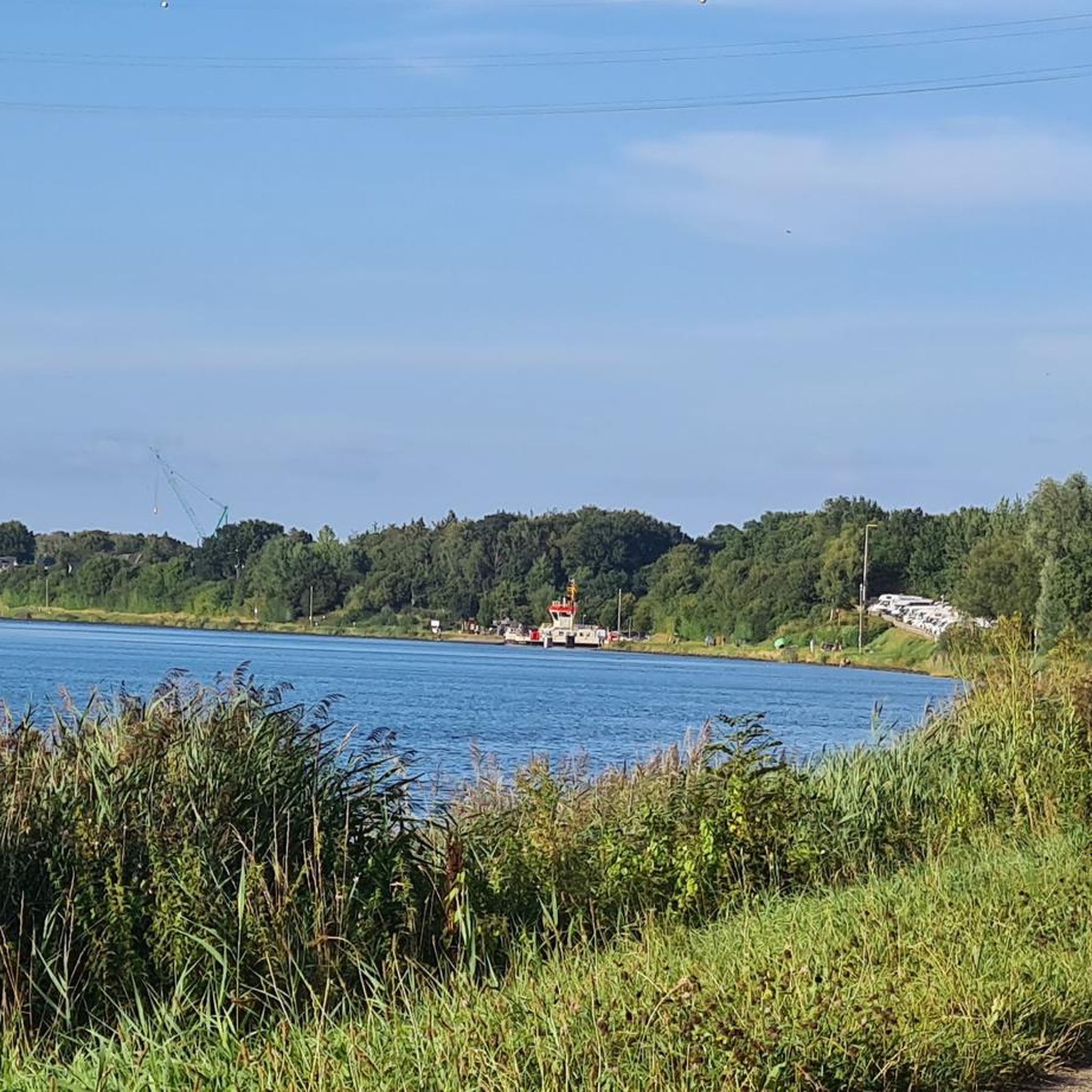
The ride is free, like all ferries on the Kiel Canal. A remarkable construct
0
0


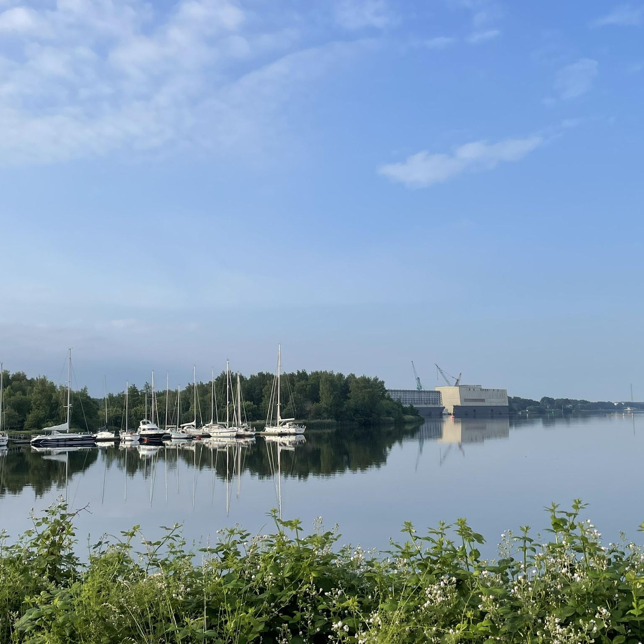
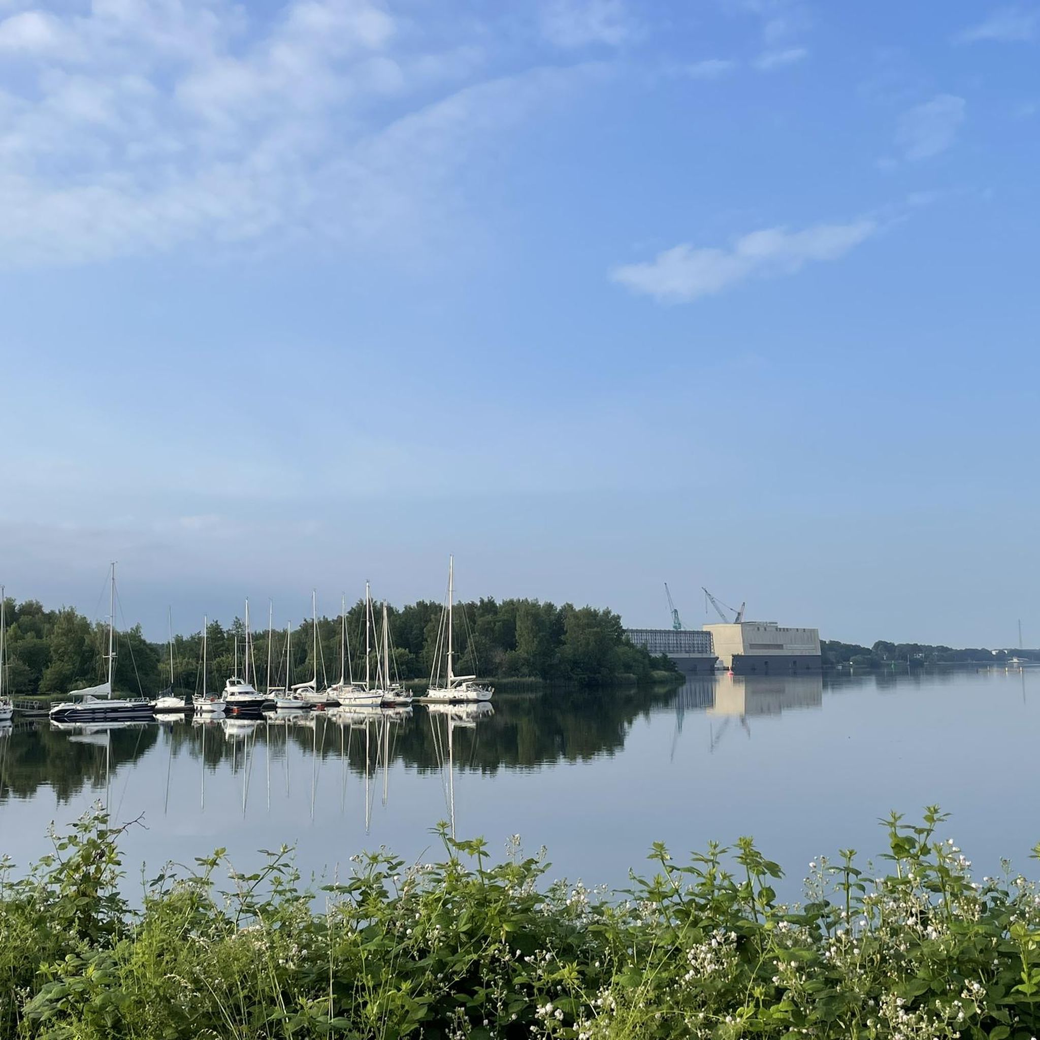
View of the harbor and the railway viaduct.
1
0

One of Rendsburg's landmarks is the railway high bridge, which is visible from afar. This steel structure was built between 1911 and 1913 and has a clearance height of 42 meters for ships. It is truly worth seeing. With the transporter bridge hanging underneath it, you can cross the canal every 15 minutes.
1
0


Great hiking trail with a view of the canal
0
0

Beautiful path along the canal.
0
0
Frequently Asked Questions
How many hiking trails are there around Schacht-Audorf?
There are over 40 hiking trails available in the Schacht-Audorf area, catering to various preferences. You'll find a mix of easy strolls, moderate walks, and a few more challenging routes.
Are there easy hiking trails suitable for beginners or families?
Yes, Schacht-Audorf offers many easy trails. Over 30 routes are classified as easy, perfect for a relaxed outing. An example is the Schacht-Audorf Ferry Landing – Path Along the Kiel Canal loop, which is about 5.4 km long and follows the waterfront.
Can I find circular hiking routes in the area?
Many of the trails around Schacht-Audorf are circular, allowing you to start and end at the same point. The Lake View – Dörpsee Schülldorf loop is a popular circular route offering pleasant lake views over 6.8 km.
What kind of landscapes can I expect to see while hiking here?
The region is characterized by diverse landscapes. You'll encounter paths along the bustling Kiel Canal, tranquil lake views like those at Dörpsee Schülldorf, and the rolling hills and varied forests of the nearby Hüttener Berge Nature Park. Wildflower meadows also add to the scenic beauty.
Are there any trails with good viewpoints?
While specific viewpoint trails aren't highlighted in the immediate vicinity, the Hüttener Berge Nature Park, adjacent to Schacht-Audorf, is known for its picturesque landscapes and offers a 64 km tour that includes a panoramic viewpoint. Additionally, walks along the Kiel Canal provide unique views of passing ships.
Are dogs allowed on the hiking trails?
Generally, dogs are welcome on most hiking trails in the Schacht-Audorf area. However, it's always advisable to keep them on a leash, especially in nature protection areas or near livestock, and to clean up after them. Trails like the At the sports field – Wildflower Meadow loop offer open spaces for walks.
What are some interesting landmarks or attractions to see near the trails?
Beyond the trails, you can explore several interesting spots. The iconic Rendsburg Transporter Bridge is a notable landmark nearby. You can also visit the Sande Bathing Area at Wittensee for lake views and swimming, or observe the activity at the Sehestedt Canal Ferry.
Are there any opportunities for wild swimming after a hike?
While not 'wild swimming' in a remote sense, the Sande Bathing Area at Wittensee is a great option for a refreshing dip after a hike, offering wonderful lake views and a designated swimming spot.
What do other hikers enjoy most about the trails in Schacht-Audorf?
The trails in Schacht-Audorf are highly rated by the komoot community, with an average score of 4.8 stars. Hikers often praise the unique experience of walking alongside the Kiel Canal, the peaceful lake views, and the accessibility of the paths for various fitness levels.
Are there any longer hiking options for experienced hikers?
While many routes are shorter, the broader area, particularly the Hüttener Berge Nature Park, offers more extensive hiking opportunities, including a 64 km tour. For a moderate, longer option directly from Schacht-Audorf, consider the View of the Kiel Canal – Schacht-Audorf Ferry Landing loop, which is nearly 10 km long.
Is there public transport access to the hiking areas?
Schacht-Audorf is well-connected, and the local canal ferries, though primarily for crossing the Kiel Canal, can be an interesting part of your journey. For specific trailheads, local bus services might be available, but planning your route in advance is recommended.
Where can I find parking for the hiking trails?
Many trailheads and popular starting points in and around Schacht-Audorf, especially near the Kiel Canal and villages like Schülldorf, offer designated parking areas. For example, routes like the Gundlachs Strandbar NOK – Schacht-Audorf Ferry Landing loop typically have accessible parking nearby.
Most popular routes around Schacht-Audorf
Most popular attractions around Schacht-Audorf

Get inspired with the komoot mobile app


Explore more
Browse the best Hikes in other regions.
