The best road cycling routes in the Sawtooth Mountains
4.9
(9)
809
riders
35
rides
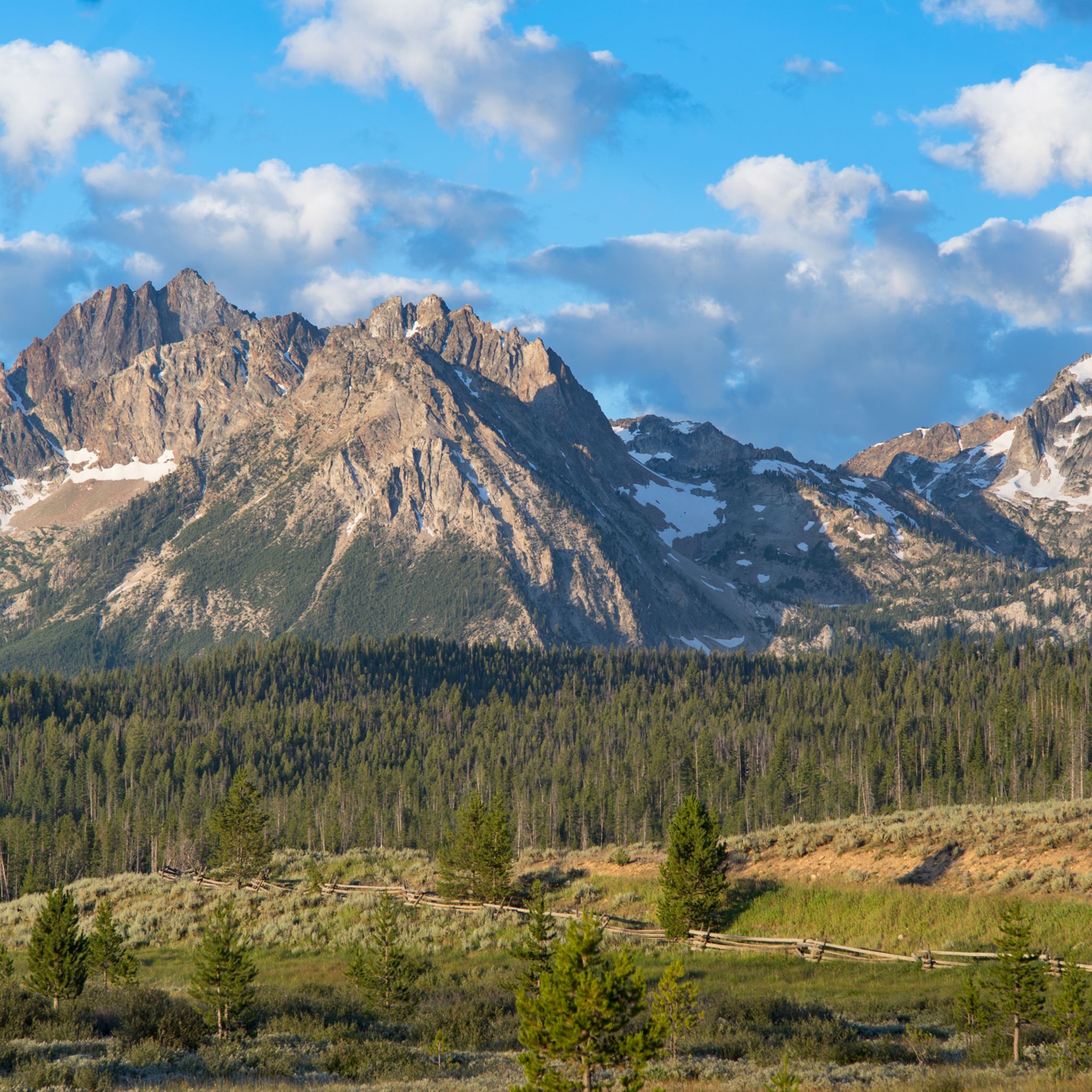
Road cycling in the Sawtooth Mountains offers diverse terrain across a vast landscape. The region is characterized by hundreds of jagged peaks, numerous alpine lakes, and extensive forests of lodgepole pine and Douglas fir. Scenic highways and byways traverse the Sawtooth National Recreation Area, providing varied routes for road cyclists. These paths often follow rivers and wind through valleys, showcasing the natural features of the Sawtooth National Forest.
Best road cycling routes in the Sawtooth Mountains
- The most popular road…
Last updated: July 12, 2026
4.5
(2)
136
riders
48.7km
02:21
650m
650m
Moderate road ride. Good fitness required. Mostly well-paved surfaces and easy to ride.
69
riders
47.7km
02:24
250m
250m
Moderate road ride. Good fitness required. Mostly well-paved surfaces and easy to ride.

Sign up for free
69
riders
50.4km
02:29
290m
290m
Moderate road ride. Good fitness required. Mostly well-paved surfaces and easy to ride.
45
riders
21.3km
00:59
40m
40m
Easy road ride. Great for any fitness level. Mostly well-paved surfaces and easy to ride.
40
riders
51.4km
02:51
260m
260m
The Camel's Back – Hill Road Views loop from Hulls Gulch Reserve offers a rewarding road cycling experience through the scenic Boise foothills. This moderate 32.0 miles (51.4 km) route,…
5.0
(2)
43
riders
Moderate road ride. Great for any fitness level. Some segments of this route may be unpaved and difficult to ride.
35
riders
Moderate road ride. Good fitness required. Mostly well-paved surfaces and easy to ride.
25
riders
33.5km
01:46
360m
360m
Moderate road ride. Good fitness required. Mostly well-paved surfaces and easy to ride.
28
riders
Easy road ride. Great for any fitness level. Mostly well-paved surfaces and easy to ride.
20
riders
20.8km
01:00
180m
180m
Moderate road ride. Great for any fitness level. Some segments of this route may be unpaved and difficult to ride.
Get access to more routes and recommendations from other explorers.
Sign up for free
Already have an account?
Our route recommendations are based on thousands of hikes, rides, and runs completed by other people on komoot.
Start today with a free account
Your next adventure awaits.
Login or Signup
Popular around Sawtooth Mountains




Tips from the Community

Fay would love for you to take a rest on her bench in a section of the greenbelt with a lovely view of trees and the river. You might see some wildlife if you stick around to have a snack. If you're up to it, stop into the MK Nature center, the entrance is to your left. There you can see the fish pond and you might see Lonely Larry - an 8 ft long Sturgeon!
0
0

Nice cycle path along the river.
0
0

Camel's Back is an incredible area that provides opportunities for quick breaks from the day to all day hiking activities. It is probably known best by its iconic set of steep stairs installed a few years back.
0
0

North Cartwright Road is a quite, scenic road north of Boise with several mountain bike trails crossing over it. It's a fun road to descend.
1
0

Hyde Park is the historic district in the North End neighborhood of Boise. It's known for its local restaurants and specialty retail stores. It's also a popular starting place for mountain and road cyclists heading out for a ride.
1
0
Sandy Point Beach is just off the Boise River Greenbelt in Lucky Peak Dam State Park. Sandy Point offers restrooms, showers, picnic tables, a disc golf course, sand volleyball courts, and a swim beach.
0
0

The Boise River Greenbelt is 25 miles long and provides a road-bike worthy path on both sides. The path has a number of rest areas to stop and admire the views of the river.
0
0

This is just a small portion of the 25-mile-long Boise River Greenbelt. As the name suggests, the trail travels along the banks of the Boise River through many of the cities best parks and green spaces. It also provides access to a number of great coffee shops & restaurants.
0
0
Frequently Asked Questions
What kind of terrain can I expect when road cycling in the Sawtooth Mountains?
The Sawtooth Mountains offer a diverse road cycling experience, characterized by scenic highways and byways that traverse the Sawtooth National Recreation Area. You'll encounter routes that follow rivers through valleys, as well as those with significant elevation gain, showcasing the region's dramatic jagged peaks and dense forests. Options range from easier valley rides to challenging climbs.
Are there road cycling routes suitable for beginners or those looking for an easy ride?
Yes, the Sawtooth Mountains provide several easy road cycling routes. For instance, the Pioneer Saloon – Sun Valley Lake loop from Sun Valley is an easy 16.3-mile (26.2 km) trail through the Sun Valley area. Another easy option is the Big Wood River – Wood River Trail loop from Sawtooth Botanical Garden, covering about 18.8 miles (30.2 km) and following the Big Wood River.
What is the best time of year for road cycling in the Sawtooth Mountains?
The best time for road cycling in the Sawtooth Mountains is generally from late spring through early autumn. During summer, the meadows burst with wildflowers, and early autumn brings vibrant foliage. However, it's important to check for seasonal road closures, especially in higher elevations, as conditions can vary.
Are there any challenging road cycling routes for experienced riders?
Absolutely. The Sawtooth Mountains offer routes with significant elevation gain for experienced cyclists. For example, the Hyde Park Historic District – Hill Road Views loop from Boise is a moderate route with substantial climbing, covering 30.0 miles (48.3 km) and featuring views of the foothills. Other routes, like the North Cartwright Road – Nice foothills climb loop from Hulls Gulch Reserve, also offer notable ascents.
What natural features or landmarks can I see along the road cycling routes?
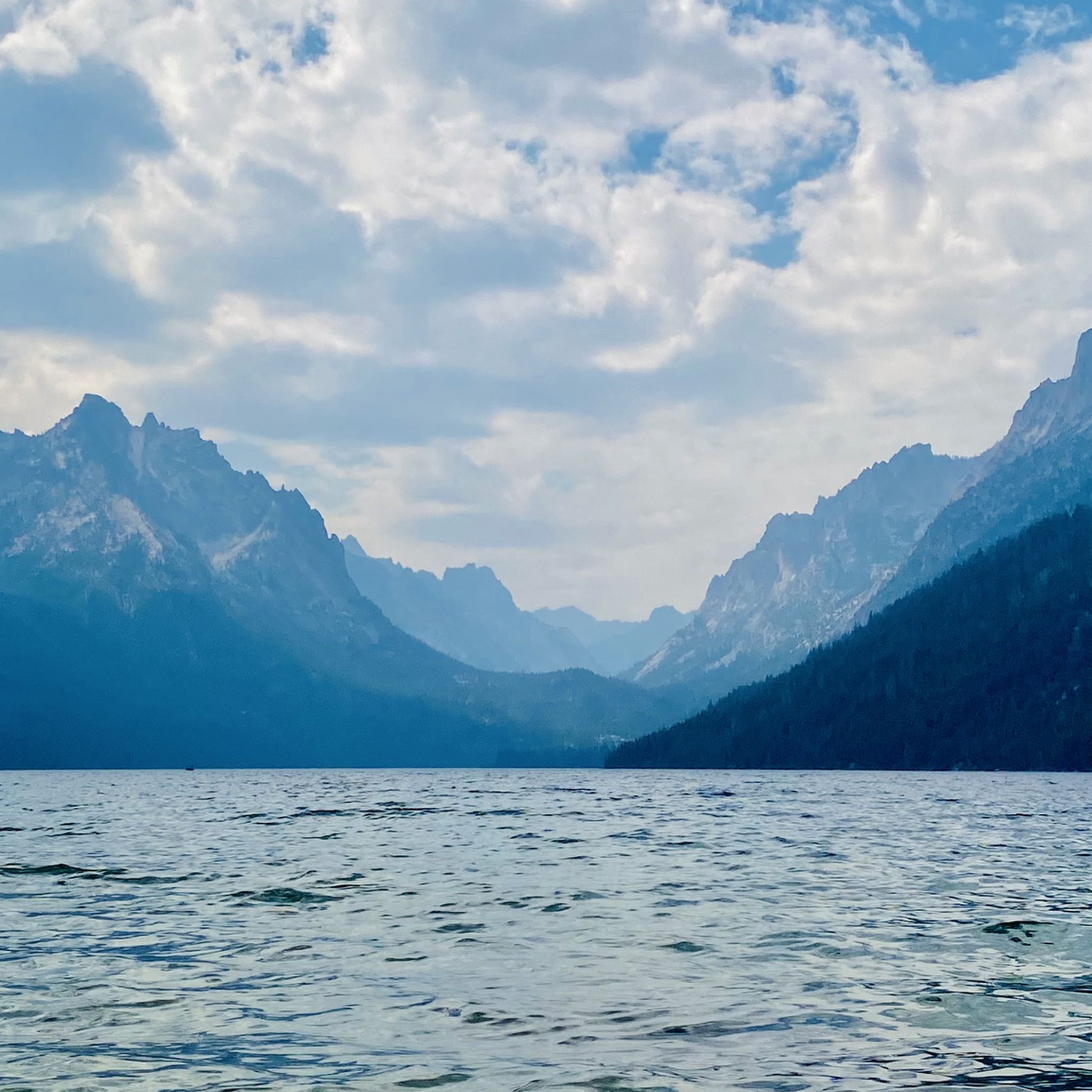
Road cycling routes in the Sawtooth Mountains often pass by stunning natural features. You can expect views of jagged peaks, pristine alpine lakes like Redfish Lake and Stanley Lake, and dense forests. Some routes offer scenic overlooks such as Table Rock Viewpoint or Camel's Back. The region is also home to natural hot springs, like Sunbeam Hot Springs & bathhouse, which can be a relaxing stop after a ride.
How many road cycling routes are available in the Sawtooth Mountains?
There are over 35 road cycling routes available in the Sawtooth Mountains, catering to various skill levels. This includes 17 easy routes, 17 moderate routes, and 1 difficult route, ensuring options for every cyclist.
What do other road cyclists say about their experience in the Sawtooth Mountains?
The Sawtooth Mountains are highly rated by the komoot community, with an average score of 4.4 stars from over 5 reviews. Cyclists often praise the varied terrain, from easy valley rides to challenging climbs, and the consistently spectacular views of the region's dramatic landscapes.
Are there any loop routes for road cycling in the Sawtooth Mountains?
Yes, many road cycling routes in the Sawtooth Mountains are designed as loops, allowing you to start and end in the same location. Examples include the Penny Mountain – Big Wood River loop from Sun Valley and the Pioneer Saloon – Sun Valley Lake loop from Sun Valley, offering convenient circular journeys.
Are there towns or facilities near the road cycling routes where I can find amenities?
The Wood River and Sawtooth Valleys, particularly around Sun Valley and Ketchum, offer excellent road cycling opportunities and amenities. These towns provide access to cafes, pubs, and accommodation, making them convenient bases for exploring the region by bike. Routes like the Penny Mountain – Big Wood River loop from Sun Valley start and end near such facilities.
Is public transport available to access road cycling routes in the Sawtooth Mountains?
While specific public transport options directly to trailheads within the vast Sawtooth National Recreation Area might be limited, major towns like Sun Valley and Ketchum, which serve as starting points for many routes, may have local transport services. For detailed information on public transport to specific areas, it's advisable to check local transit authority websites.
Are permits required for road cycling in the Sawtooth National Recreation Area?
Generally, permits are not required for road cycling on public roads and designated byways within the Sawtooth National Recreation Area. However, if your route involves entering specific wilderness areas or private lands, or if you plan to camp, different regulations may apply. Always check with the local U.S. Forest Service office for the most current information regarding permits or restrictions.
Can I find parking easily at the starting points of road cycling routes?
Parking availability can vary depending on the specific starting point of a route. In popular areas or near towns like Sun Valley and Ketchum, you may find designated parking lots. For routes starting in more remote areas, roadside parking might be an option, but it's always recommended to plan ahead and check for specific parking information for your chosen route to ensure convenience and compliance with local regulations.
Most popular routes in the Sawtooth Mountains
Most popular attractions in the Sawtooth Mountains

Get inspired with the komoot mobile app


Explore more
Browse the best Road cycling routes in other regions.
