The best walks and hikes around Castroreale
4.3
(104)
350
hikers
16
hikes
Hiking around Castroreale, Sicilia, offers a diverse landscape characterized by rolling hills, rocky outcrops, and scenic viewpoints overlooking the surrounding region. The area features a mix of open terrain and paths leading through natural areas. This region provides a variety of trails suitable for exploring its natural beauty.
Best hiking trails around Castroreale
- The most popular hiking route is Scenic section – Rocca di Novara loop from Novara di Sicilia, a 8.5 miles (13.7 km) trail that takes about…
Last updated: June 25, 2026
4.9
(7)
13
hikers
13.7km
04:47
700m
710m
Moderate hike. Good fitness required. Mostly accessible paths. Sure-footedness required.
4.8
(6)
10
hikers
12.1km
03:45
460m
460m
Moderate hike. Good fitness required. Easily-accessible paths. Suitable for all skill levels.

Sign up for free
4.7
(33)
117
hikers
6.91km
02:31
380m
380m
Moderate hike. Good fitness required. Mostly accessible paths. Sure-footedness required.
4.3
(10)
37
hikers
14.3km
04:50
680m
670m
Moderate hike. Good fitness required. Mostly accessible paths. Sure-footedness required.
4.7
(3)
12
hikers
9.11km
03:28
360m
360m
Hard hike. Good fitness required. Sure-footedness, sturdy shoes and alpine experience required.
Get access to more routes and recommendations from other explorers.
Sign up for free
Already have an account?
Our route recommendations are based on thousands of hikes, rides, and runs completed by other people on komoot.
Start today with a free account
Your next adventure awaits.
Login or Signup
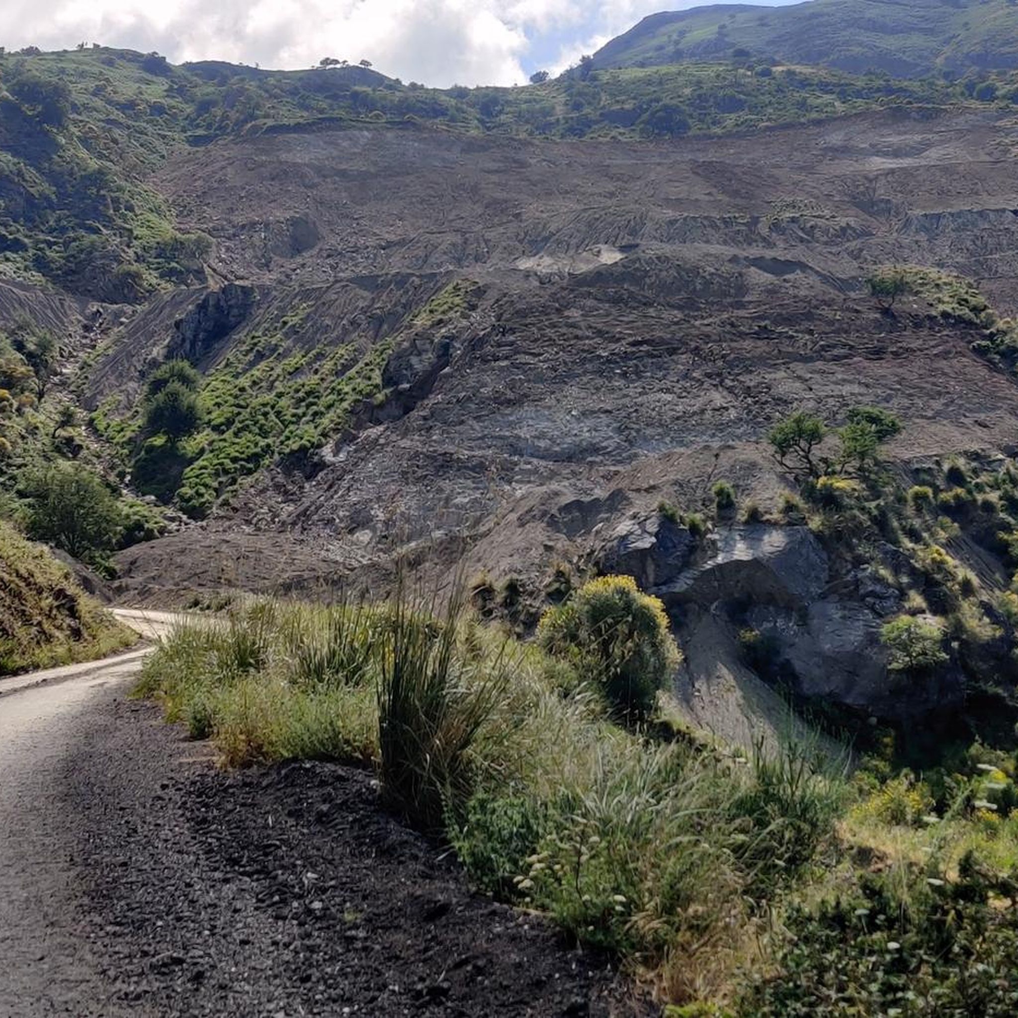
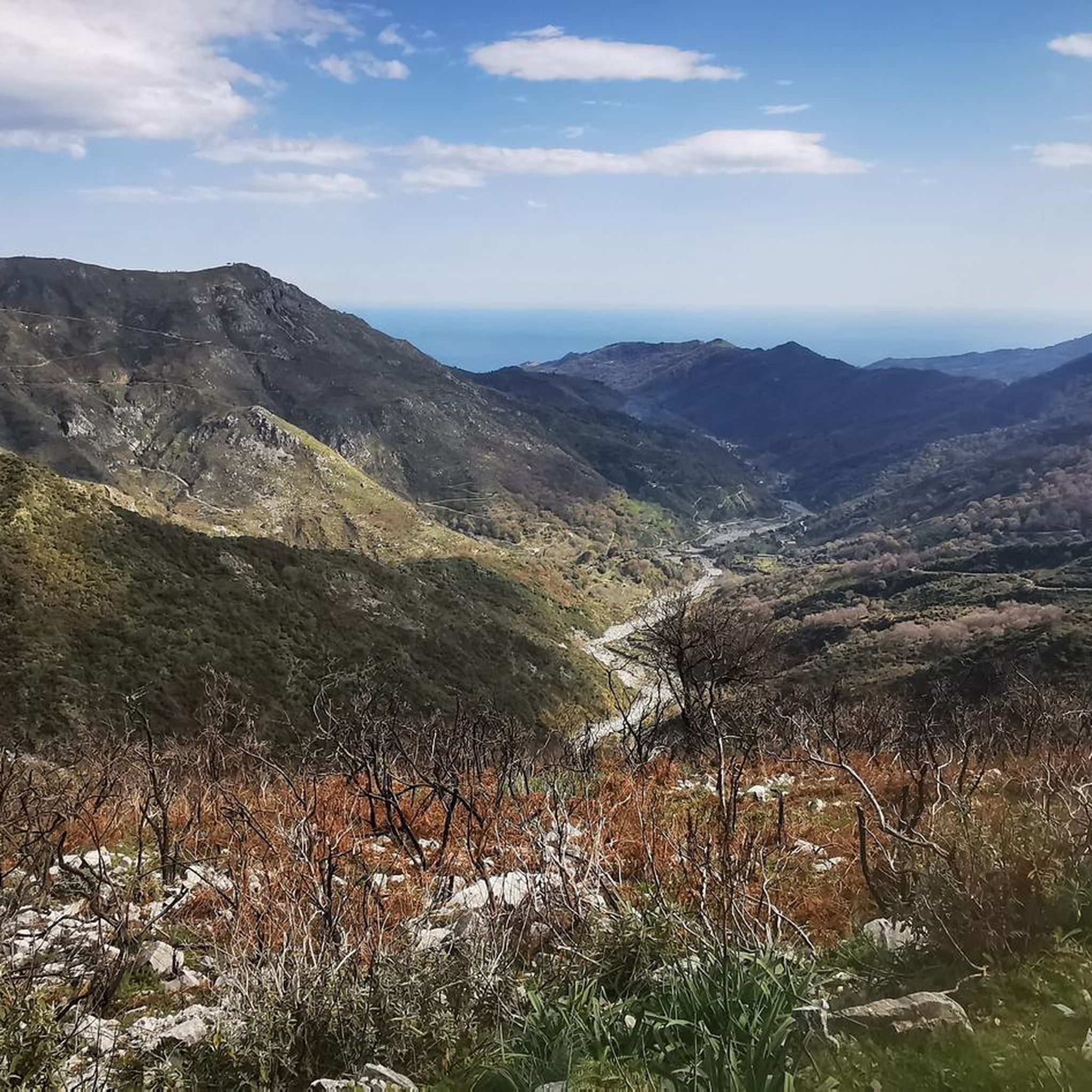
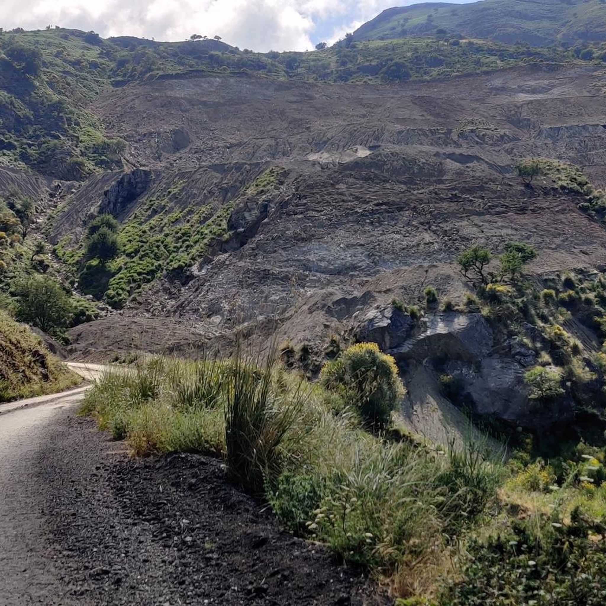
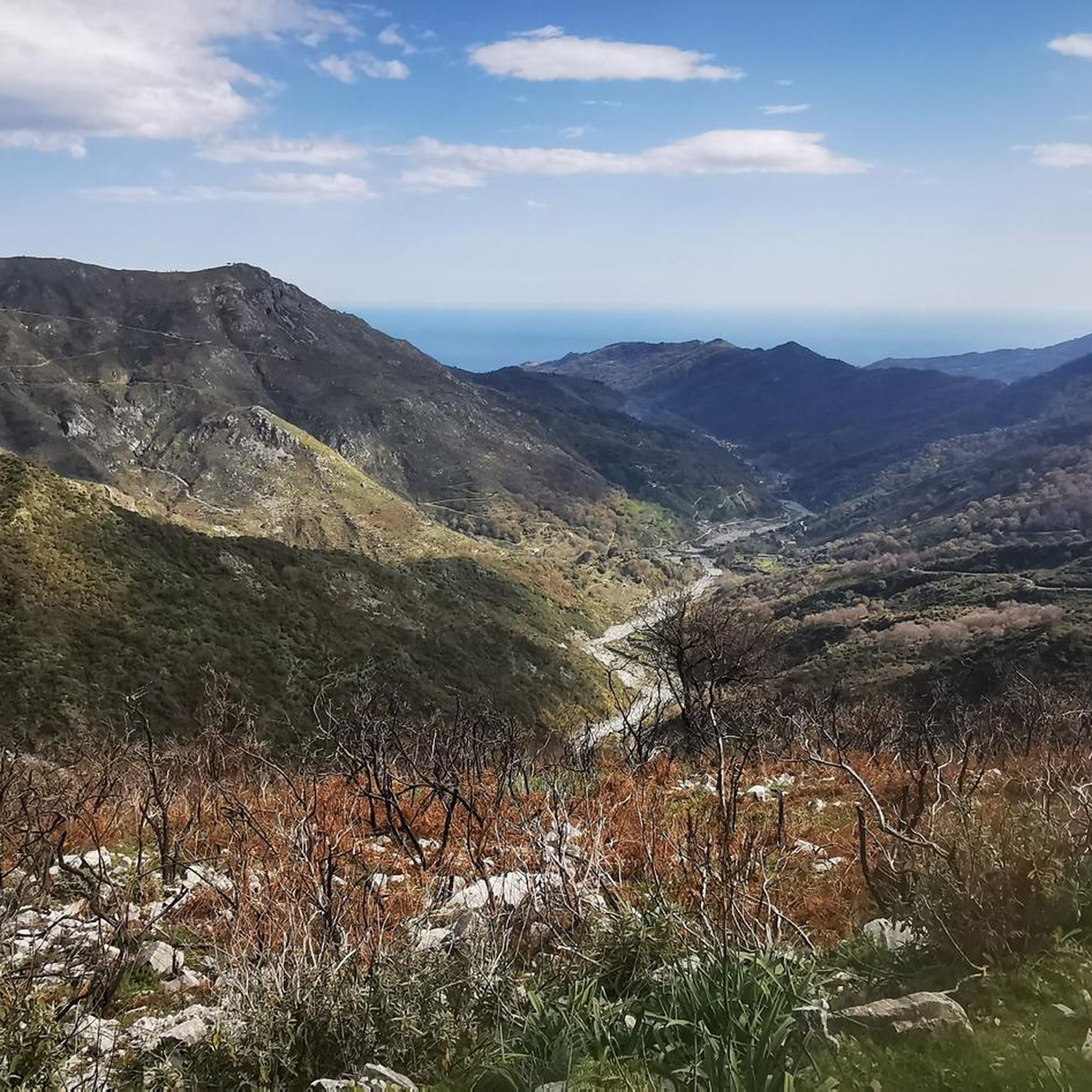
Tips from the Community

The Piano Vernà equipped area is located just below Mount Pizzo Vernà. It can be reached by car up to its gate, going up from the town of Rimiti. Once you reach the gate, you walk down for about 200 m. Very pleasant area, with tables and fire points, and a beautiful fountain. There is also a hut. Bivouackable
1
0

The rocky pyramid of Rocca di Novara ("Matterhorn of Sicily") seems inaccessible...as a landmark, it can even be seen from Mount Etna! This rocky promontory has a well-maintained trail (adequately marked with red dots), making it never too difficult to climb. (Caution: Surefootedness, a head for heights, and good weather are essential!!) From the summit plateau (large metal cross with the silhouette of Christ), there is a magnificent view of the coast, the mountain villages in the hinterland of Milazzo, and the Peloritani Mountains. The starting point is a picnic area on the SS185 (which will likely be impassable from the south for some time to come due to a landslide). There are a few parking spaces along the roadside; for off-road vehicles, you can also drive up to the first bend of the picnic area. A fantastic mountain experience - and afterwards, head to the café in Novara d. Sicily -> Bar S. Niecola!
0
0
Excellent starting point for the climb of Rocca Salvatesta. It is an area equipped with tables and fire points, an excellent bivouac point next to the state road (the presence of a water source has not been confirmed) to then tackle the climb the following day
1
0

Particularly worth seeing during Carnival time when the Maiorchino cheese is rolled through the village: https://www.comunedinovaradisicilia.me.it/il-torneo-del-maiorchino.html
1
0
Novara di Sicilia is one of the Borghi più belli d'Italia and it really deserves this title. A great place full of nice people.
1
0
Beautiful view of Novara and the Rocca. The path is easy to walk. Part of the Cammino dell'Anima hiking trail
1
0
Path with explanations of each plant (in Italian)
1
0
Unfortunately recently, with the windy days of the past few days (June 2023) the Christ present on the cross placed at the top was torn away by the fury of the winds, which the inhabitants say had a speed of up to 180 km.h, falling to the ground where it still lies. (update) has been restored
3
2
Frequently Asked Questions
How many hiking trails are available around Castroreale?
There are nearly 20 hiking routes documented around Castroreale. These trails offer a variety of experiences, primarily rated as moderate, with a few more challenging options.
What kind of terrain can I expect on hikes around Castroreale?
Hikes around Castroreale feature a diverse landscape characterized by rolling hills, rocky outcrops, and scenic viewpoints. You'll find a mix of open terrain and paths leading through natural areas, providing varied walking surfaces.
Are there any circular walks in the Castroreale area?
Yes, many of the routes around Castroreale are circular. For example, you can explore the Tre Pizzi Picnic Area loop from Castroreale, which is a moderate 5.5-mile (8.8 km) path, or the Rocca di Novara – Scenic section loop from Novara di Sicilia, a 4.3-mile (6.9 km) trail.
What are some notable landmarks or attractions I can see while hiking near Castroreale?
While hiking, you can encounter several interesting landmarks. The prominent Rocca di Novara is a significant natural feature. You might also come across historical sites like the Church of Saints Peter and Paul of Agrò or enjoy the tranquility of Piano Margi Park and Pond.
Are there any easy hiking trails suitable for beginners in Castroreale?
The trails around Castroreale are predominantly rated as moderate, with 15 routes falling into this category. While there are no trails explicitly rated 'easy', many of the moderate options are accessible for those with some hiking experience and a reasonable fitness level.
What do other hikers enjoy most about hiking in Castroreale?
The hiking routes in Castroreale are highly rated by the komoot community, with an average score of 4.1 stars from over 80 reviews. Hikers often praise the expansive views, varied terrain, and the opportunity to explore natural areas and rocky outcrops.
Can I find places to rest or stay overnight near the hiking trails?
Yes, there are several huts and refuges in the vicinity that can serve as resting points or overnight stays. Options include Rifugio Postoleoni, Rifugio Brignolaro, and Rifugio Cretazzo, among others.
What is the best time of year for hiking in Castroreale?
The best time for hiking in Castroreale is typically during the spring (April to June) and autumn (September to October) months. During these periods, the weather is generally mild and pleasant, making for comfortable hiking conditions. Summers can be hot, and winters may bring cooler temperatures and occasional rain.
Are there any longer, more challenging hikes available?
Yes, for those seeking a longer challenge, routes like the Scenic section – Rocca di Novara loop from Novara di Sicilia cover 8.5 miles (13.7 km) and involve significant elevation changes, taking nearly 5 hours to complete. There are 3 routes rated as difficult in the area.
Are there any hikes that offer views of the coast or sea?
While Castroreale itself is inland, some routes in the broader area offer coastal views. For instance, the View of Punta Marinello – Sanctuary of Tindari loop from Falcone provides scenic vistas towards Punta Marinello and the sea, incorporating a visit to the Sanctuary of Tindari.
What should I wear for hiking in Castroreale?
Given the varied terrain, including rocky sections and open areas, it's advisable to wear sturdy hiking boots with good ankle support. Layered clothing is recommended, especially during spring and autumn, to adapt to changing temperatures. A hat, sunscreen, and plenty of water are essential, particularly during warmer months.
Most popular attractions around Castroreale

Get inspired with the komoot mobile app


Explore more
Browse the best Hikes in other regions.
