The best walks and hikes around Grammichele
3.8
(7)
82
hikers
14
hikes
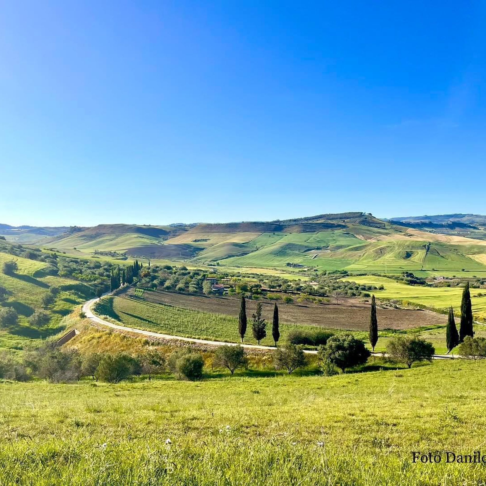
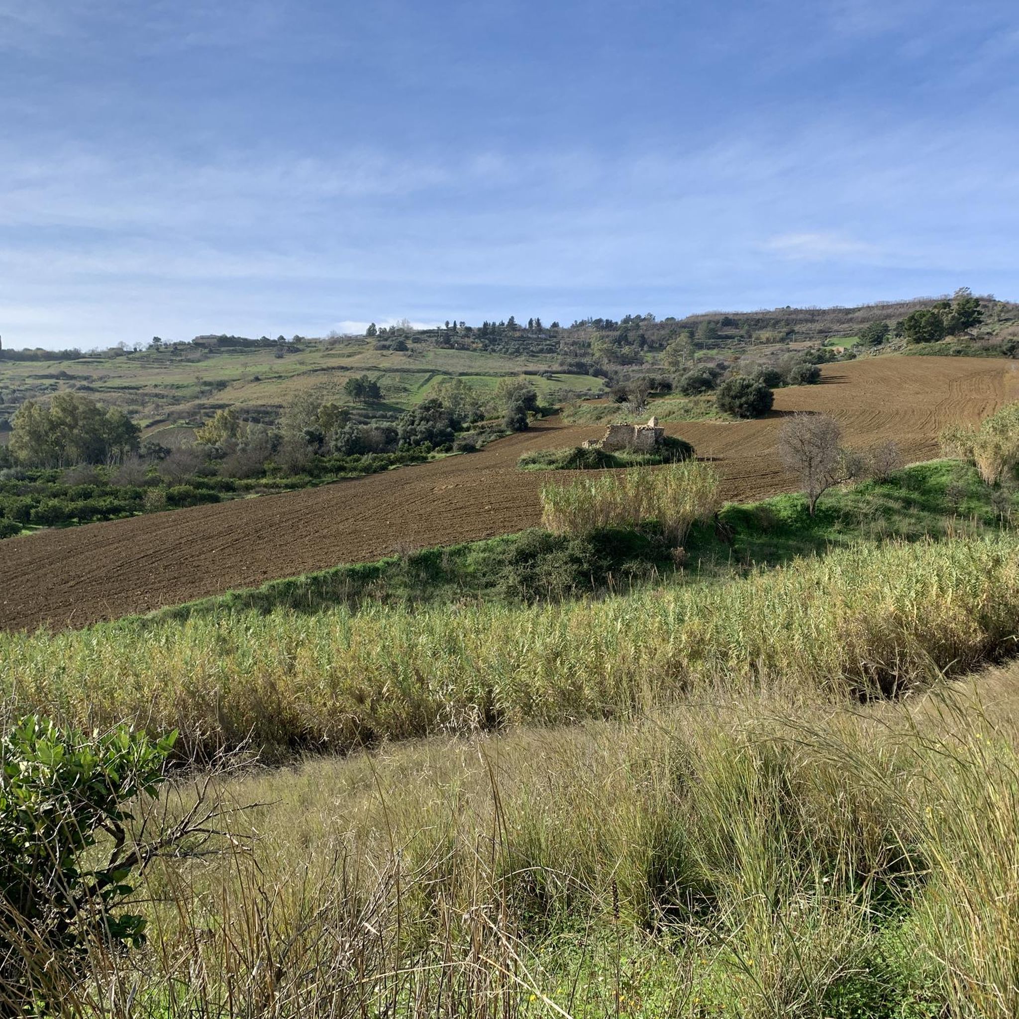
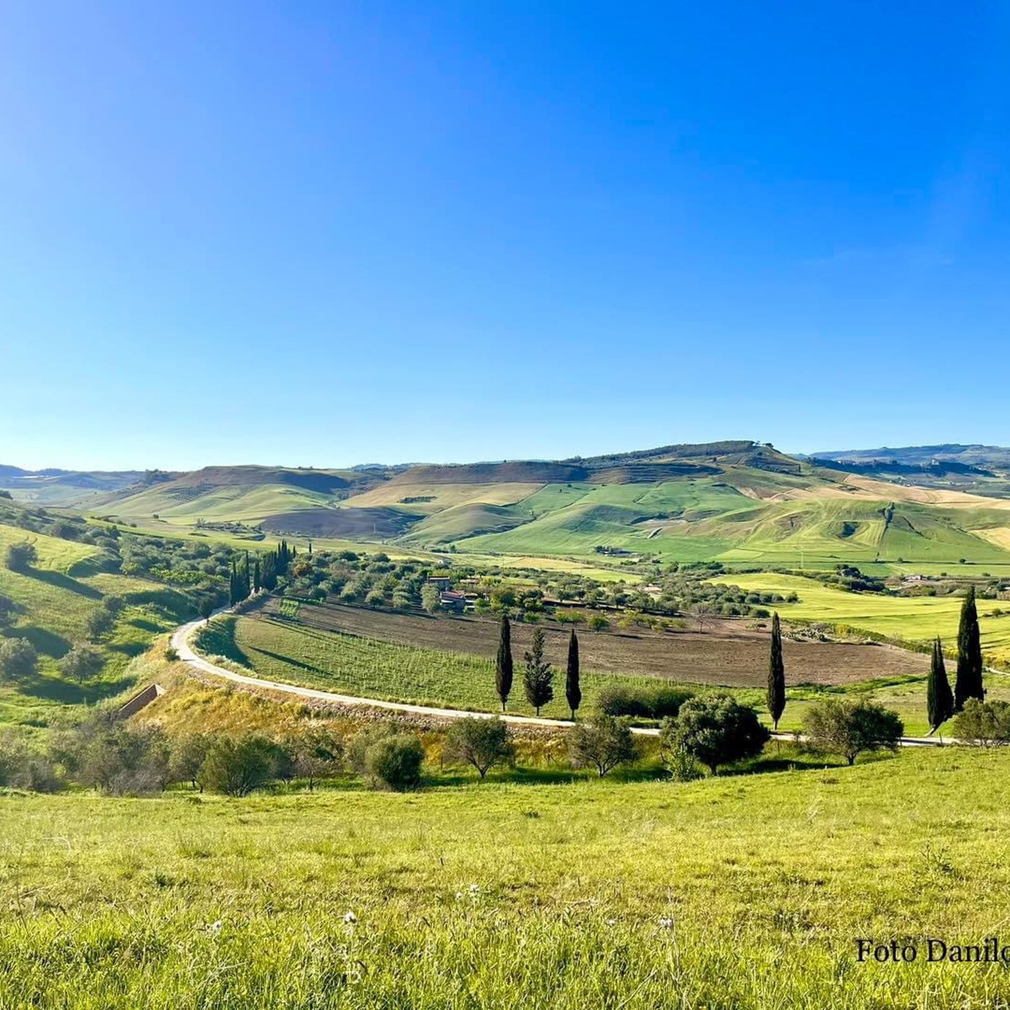
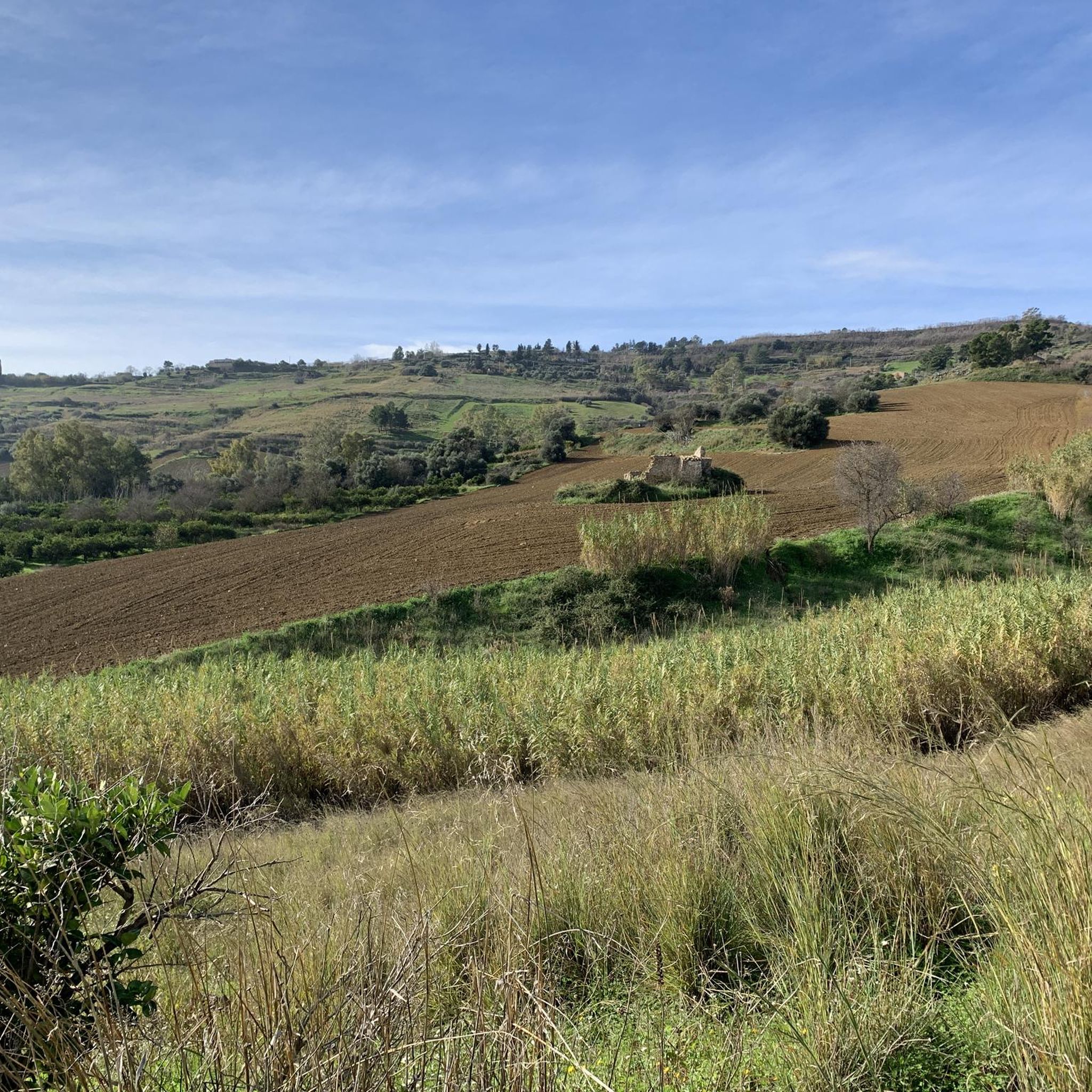
Hiking around Grammichele offers diverse landscapes within the Iblei Mountains in southeastern Sicily. The region features a varied terrain of valleys, rural landscapes, and woodland areas. Trails often provide panoramic views, particularly around the Archaeological Park of Occhiolà. These natural features create a compelling environment for outdoor activities.
Best hiking trails around Grammichele
- The most popular hiking route is From Borgo Pietro Lupo to Castello Mongialino — ring tour, a 12.9 miles (20.7 km) trail that takes 5 hours…
Last updated: October 7, 2026
3.7
(3)
42
hikers
Easy hike. Great for any fitness level. Easily-accessible paths. Suitable for all skill levels.
5.0
(1)
13
hikers
Moderate hike. Good fitness required. Easily-accessible paths. Suitable for all skill levels.

9
hikers
7.08km
01:56
110m
110m
Easy hike. Great for any fitness level. Easily-accessible paths. Suitable for all skill levels.
2.7
(3)
6
hikers
25.3km
07:11
540m
540m
Hard hike. Very good fitness required. Easily-accessible paths. Suitable for all skill levels.
7
hikers
Easy hike. Great for any fitness level. Easily-accessible paths. Suitable for all skill levels.
Get access to more routes and recommendations from other explorers.
Already have an account?
Our route recommendations are based on thousands of hikes, rides, and runs completed by other people on komoot.
Start today with a free account
Your next adventure awaits.
Tips from the Community

This staircase is a must-see. It connects the upper town with the lower town.
0
0

The last major public work using ceramics was the cladding of the front of the steps of the famous Maria SS. del Monte staircase, created in the 1950s by the Caltagirone Art School under the direction of Prof. Antonino Ragona.
3
0

The Palace dates back to a period before the earthquake of 1693, when most of the city's buildings were destroyed. The palace belonged to the Crescimanno counts and over the centuries it hosted illustrious personalities such as Ferdinand II of Bourbon and other nobles who visited Caltagirone.
5
0
Stairway that has connected the old part of the city (lower) with the new part (upper) since 1600.
5
1

May 8th is the feast of the two patron saints of Grammichele: St. Michael the Archangel and St. Catherine of Alexandria. During the festival, the simulacra are carried in procession through the streets of the town together with the statue of the Madonna that precedes them.
0
0
Carlo Maria Carafa was the prince who founded Grammichele in April 1693, 2km south of Occhiolà, the old settlement destroyed by the earthquake
0
0

Nice panoramic point ... it is not possible to park with the car as it is located near a sharp bend
2
0
Beautiful staircase entirely decorated with ceramic tiles from Caltagirone, very famous for the typical workmanship of the decorations. A visit to the Ceramics Museum is a must in whose rooms objects ranging from the 4th century BC are exhibited. C. until the eighteenth century; if you feel like buying some local ceramic object you will have no problem finding the right object for you by visiting the numerous artisan shops in the historic centre. Vases, plates and original creations made with local clay and with the genius of the Caltagirone artisans
4
0
Frequently Asked Questions
What kind of hiking trails can I expect around Grammichele?
Grammichele, nestled in the Iblei Mountains, offers a diverse range of hiking experiences. You'll find authentic Sicilian inland landscapes, from 'emerald valleys' and vibrant 'riots of flowers' to rural paths winding through citrus groves, olive trees, and vineyards. Trails vary from easy walks to more challenging treks, often providing panoramic views of the valley below.
How many hiking routes are available in the Grammichele area?
There are over 8 hiking routes documented around Grammichele, catering to various fitness levels. You'll find 5 easy routes and 3 moderate routes, ensuring options for both casual walkers and more experienced hikers.
Are there any easy, family-friendly hiking trails near Grammichele?
Yes, there are several easy trails suitable for families. A great option is the Scala Santa Maria del Monte – Ponte Antico di Caltagirone loop from Caltagirone, an easy 2.4-mile (3.9 km) path that offers a pleasant walk near historical sites. Another easy choice is the Ponte Antico di Caltagirone – Scala Santa Maria del Monte loop from Caltagirone.
What are some notable landmarks or attractions I can see while hiking around Grammichele?
Many trails offer glimpses of the region's rich history and natural beauty. You can explore the Scala Santa Maria del Monte and the Staircase of Santa Maria del Monte, both significant historical sites. The Archaeological Park of Occhiolà, not far from Grammichele, provides spectacular views and remnants of a medieval village. The town of Caltagirone, known for its ceramics, is also nearby and features in some loop trails.
Are there any circular hiking routes around Grammichele?
Yes, many of the trails around Grammichele are circular, allowing you to start and end at the same point. For a longer, more challenging loop, consider the From Borgo Pietro Lupo to Castello Mongialino — ring tour. For easier options, the Scala Santa Maria del Monte – Ponte Antico di Caltagirone loop from Caltagirone is a popular choice.
What is the best time of year to go hiking in Grammichele?
The region around Grammichele is characterized by a Mediterranean climate. Spring and autumn are generally ideal for hiking, offering pleasant temperatures and the landscape often bursting with 'a riot of flowers' or the rich colors of harvest. Summers can be hot, so early morning or late afternoon hikes are recommended, while winters are mild but can bring some rain.
What do other hikers say about the trails in Grammichele?
The hiking routes in Grammichele are highly rated by the komoot community, with an average score of 3.6 stars from more than 10 reviews. Hikers often praise the diverse landscapes, the panoramic views, and the blend of natural beauty with historical sites.
Are there any longer, more challenging hikes for experienced trekkers?
Absolutely. For those seeking a more demanding adventure, the From Borgo Pietro Lupo to Castello Mongialino — ring tour is a difficult 12.9-mile (20.7 km) trail that takes nearly 6 hours to complete, exploring the wider rural landscape with significant elevation changes.
Can I access hiking trails near Grammichele using public transport?
While Grammichele itself is well-connected, accessing specific trailheads in the rural Iblei Mountains might require local bus services or a car. It's advisable to check local public transport schedules for routes connecting to smaller villages or specific starting points for your chosen hike.
Are there any pilgrim trails in the Grammichele region?
Yes, the region is significant for pilgrim walks. It's home to important routes like the 'Iblea Variant of the Via Fabaria' and the 'Cammino Ibleo,' which are part of the larger Sicilian Magna Via Francigena. These trails offer a unique blend of natural beauty and historical journey for those interested in longer, multi-day treks.
What kind of natural features will I encounter on the hikes?
The hikes around Grammichele showcase authentic Sicilian inland landscapes. You'll traverse 'emerald valleys,' witness a 'riot of flowers' in season, and walk through picturesque rural environments dotted with citrus groves, olive trees, and vineyards. The elevation also provides numerous opportunities for panoramic views, especially around sites like the Archaeological Park of Occhiolà.
Most popular attractions around Grammichele

Get inspired with the komoot mobile app


Explore more
Browse the best Hikes in other regions.
