The best walks and hikes around Serradifalco
4.6
(11)
43
hikers
13
hikes
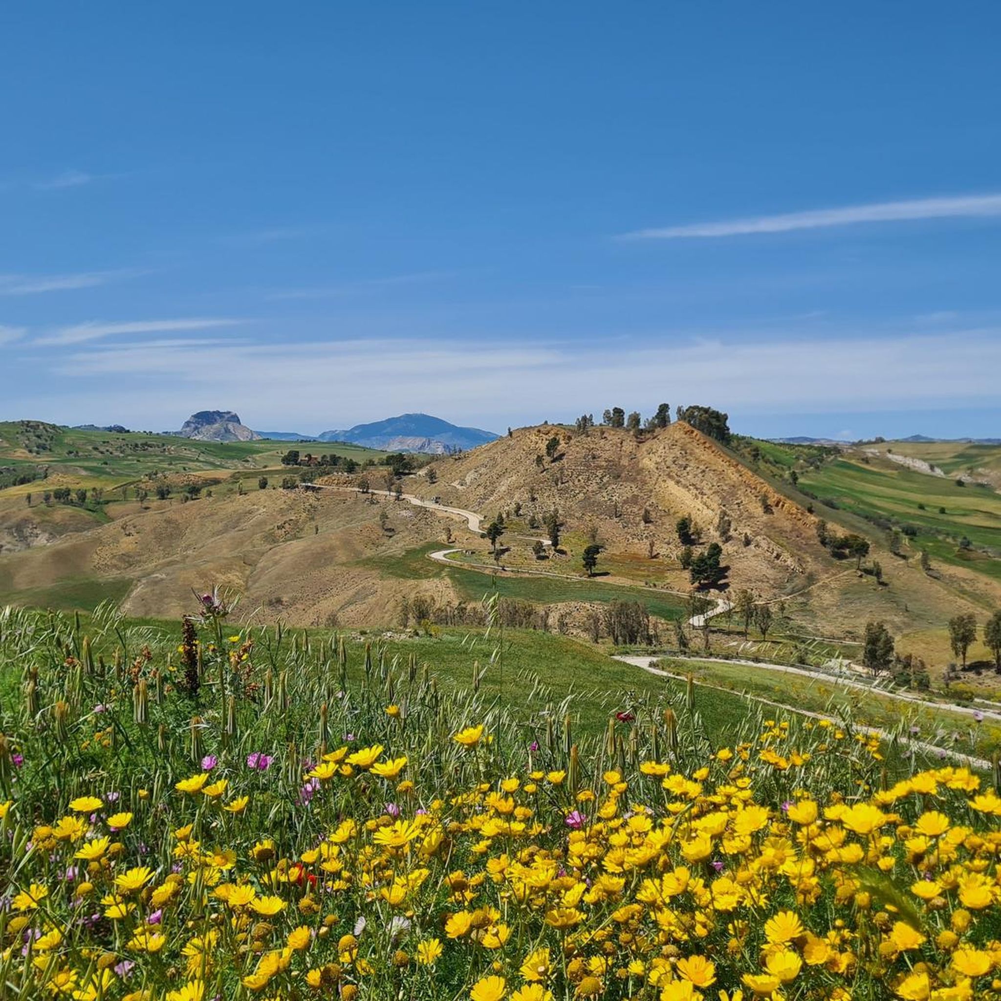
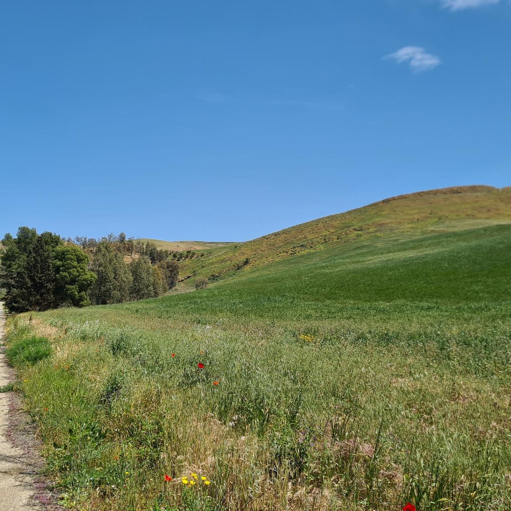
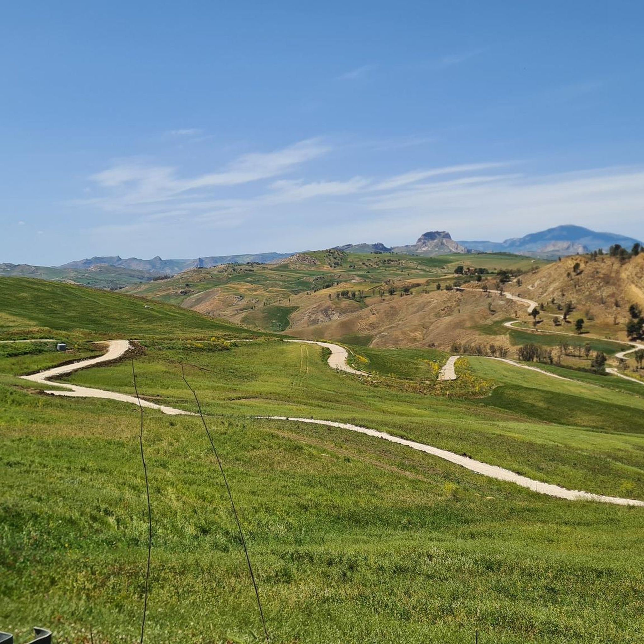
Hiking around Serradifalco offers exploration of a distinctive natural setting in Sicily, Italy. The region features a karst landscape, notably within the Monte Conca Nature Reserve, which includes underground systems. Hikers can traverse areas of Mediterranean scrub and prairies, encountering diverse flora and fauna. The landscape also includes the Gallo d'Oro River Canyon and picturesque pastoral environments, providing varied terrain for outdoor activities.
Best hiking trails around Serradifalco
- The most popular hiking route is Monte Quartarone Loop Trail, a…
Last updated: August 14, 2026
5.0
(1)
1
hikers
19.3km
05:40
540m
540m
Hard hike. Very good fitness required. Easily-accessible paths. Suitable for all skill levels.
4.0
(2)
3
hikers
13.4km
03:59
400m
400m
Moderate hike. Good fitness required. Mostly accessible paths. Sure-footedness required.

Sign up for free
4.5
(2)
13
hikers
4.09km
01:07
70m
60m
Easy hike. Great for any fitness level. Easily-accessible paths. Suitable for all skill levels.
4.3
(4)
9
hikers
17.0km
05:08
540m
540m
Hard hike. Very good fitness required. Sure-footedness, sturdy shoes and alpine experience required.
9
hikers
8.41km
02:30
250m
250m
Moderate hike. Good fitness required. Mostly accessible paths. Sure-footedness required.
Get access to more routes and recommendations from other explorers.
Sign up for free
Already have an account?
Our route recommendations are based on thousands of hikes, rides, and runs completed by other people on komoot.
Start today with a free account
Your next adventure awaits.
Login or Signup
Tips from the Community

Next to the mines there are QR codes with further information.
0
0
Entrance to an old sulphur mine
0
0
Currently closed, April 2024
0
0

Survey of over 500 meters above sea level located inside the Mustigarufi State Park.
2
0
At the farm there are tables, benches and barbecues. The best months to visit the area are between April and June to enjoy the flowering of numerous floral species.
1
0

Monte Gabbara slightly exceeds 600 m asl, but is capable of offering beautiful panoramas. Near it there are the Sulfur Mines dating back to the 1800s active until 1964.
4
0
Small relief located in the Gabbara protected area. An excellent place for lovers of industrial archeology and geology given the mining history of these places.
3
0
Mines dating back to the 1800s active until 1964. Between the 1700s and 1900s the Sicilian territory was widely exploited for the extraction of sulfur of which these lands are very rich. In this place there are blow-ups that trace the history of the sulfur mine.
2
0
Frequently Asked Questions
What kind of hiking trails can I expect around Serradifalco?
Serradifalco offers a diverse range of hiking experiences, from easy strolls to more challenging routes. The landscape is characterized by unique karst formations, Mediterranean scrub, and river canyons. You'll find trails suitable for various fitness levels, with 2 easy, 5 moderate, and 2 difficult routes available.
Are there any family-friendly hiking trails in Serradifalco?
Yes, for families looking for an easier outing, the Zolfara Persico Sulphur Mine loop from Monte Gabbara is a great option. This easy 2.5-mile (4.1 km) trail takes about 1 hour 8 minutes to complete and leads through an area with historical significance, making it engaging for all ages without being overly strenuous.
Can I find circular hiking routes in the Serradifalco area?
Absolutely. Many of the trails around Serradifalco are designed as loops, allowing you to start and end in the same location. Popular circular routes include the challenging Monte Quartarone Loop Trail, which covers 12.0 miles (19.3 km), and the easier Zolfara Persico Sulphur Mine loop from Monte Gabbara.
What natural attractions can I discover while hiking in Serradifalco?
The region is rich in natural beauty. A major highlight is the Monte Conca Nature Reserve, known for its exceptional karst landscape and underground cave systems. You can also explore the tranquil Gallo d'Oro River Canyon and observe migratory birds at Lago Soprano, a unique lake in the area. These areas boast diverse flora and fauna, including endemic plant species and rare birds like Bonelli's eagle.
Are there hiking trails that explore the historical mining areas?
Yes, Serradifalco has a fascinating history tied to sulfur and salt mining, and you can certainly explore these areas on foot. The Way of the Friars - Stage 1 Mines Variant is a moderate 8.3-mile (13.4 km) path that takes you through historical mining landscapes. Another option is the Zolfara Persico Sulphur Mine loop from Monte Gabbara, which passes by the historic Zolfara Persico Sulphur Mine.
When is the best time of year to go hiking in Serradifalco?
The ideal times for hiking in Serradifalco are spring (April to June) and autumn (September to November). During these seasons, the weather is pleasantly mild, and the landscapes are vibrant with wildflowers or rich autumn colors. Summers can be very hot, making early morning or late afternoon hikes preferable, while winters are generally mild but can bring occasional rain.
What do other hikers enjoy most about the trails in Serradifalco?
The trails around Serradifalco are highly rated by the komoot community, with an average score of 4.6 stars from over 10 reviews. Hikers often praise the distinctive natural setting, the varied terrain ranging from Mediterranean scrub to karst landscapes, and the opportunity to explore both natural wonders and historical mining sites.
Are there any points of interest or landmarks to see along the trails?
Beyond the natural reserves, you can encounter several interesting points. The Ascent towards Serradifalco offers panoramic views of the surrounding area. You might also come across disused mine buildings, like those at Stincone, which are examples of industrial archaeology, or even a mountain of rock salt sculpted by time and weather, adding a unique dimension to your hike.
How many hiking trails are available in Serradifalco?
There are 9 distinct hiking trails available for exploration around Serradifalco, offering a good variety of distances and difficulty levels to suit different preferences and abilities.
Are there any long-distance or challenging hikes for experienced trekkers?
Experienced trekkers will find challenging options in Serradifalco. The Monte Quartarone Loop Trail is a difficult 12.0-mile (19.3 km) route with significant elevation gain, taking approximately 5 hours 40 minutes to complete. Another demanding option is the Zolfara Persico Sulphur Mine – Monte Gabbara loop from Case Cravotto, a difficult 17.0 km (10.6 miles) trail.
Most popular attractions around Serradifalco

Get inspired with the komoot mobile app


Explore more
Browse the best Hikes in other regions.
