The best walks and hikes around Villafranca Sicula
4.1
(42)
151
hikers
13
hikes
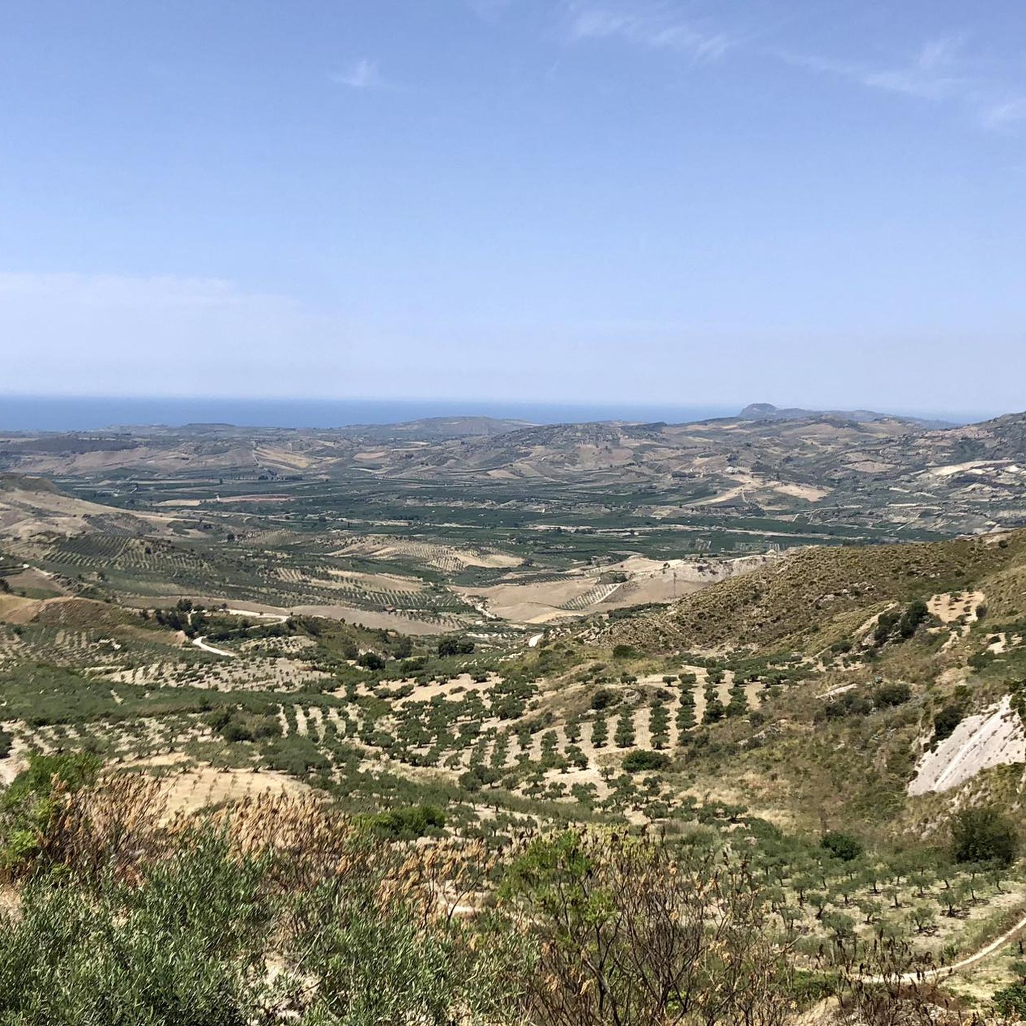
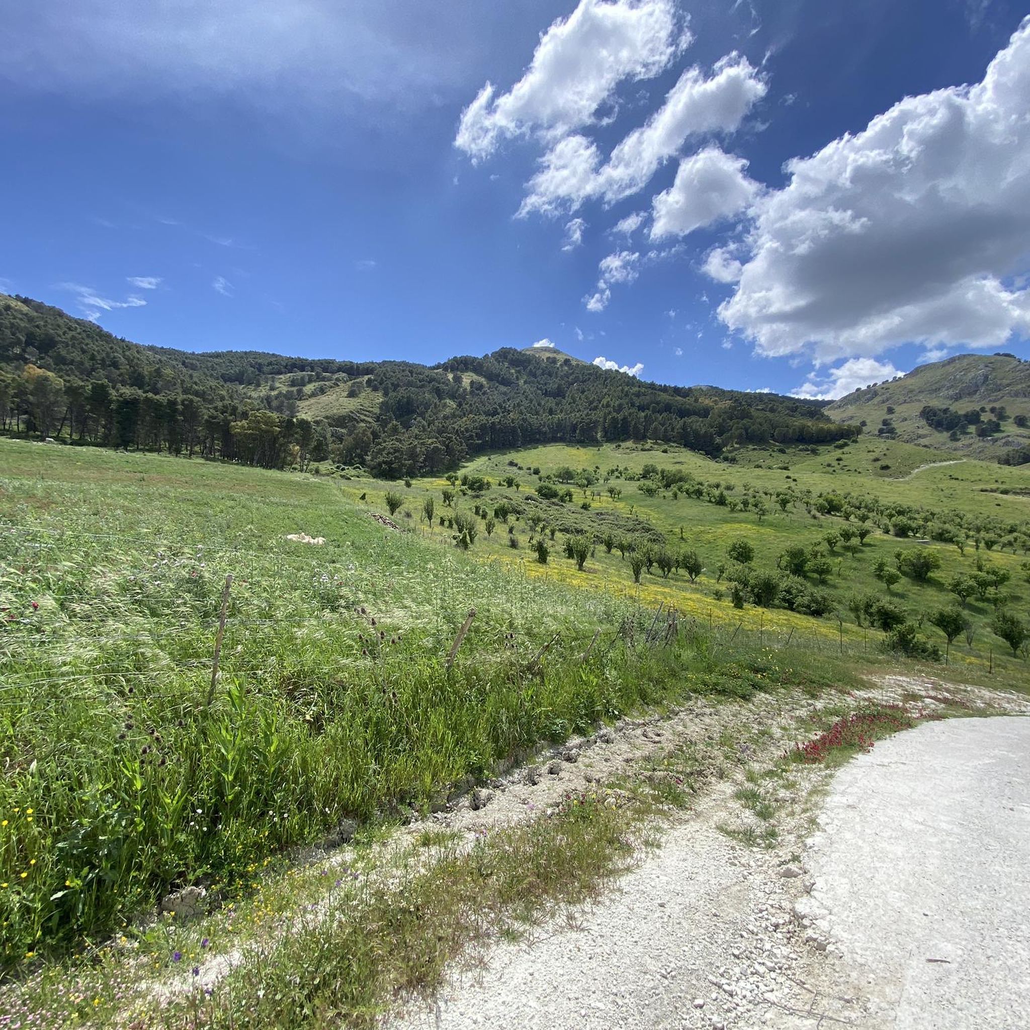
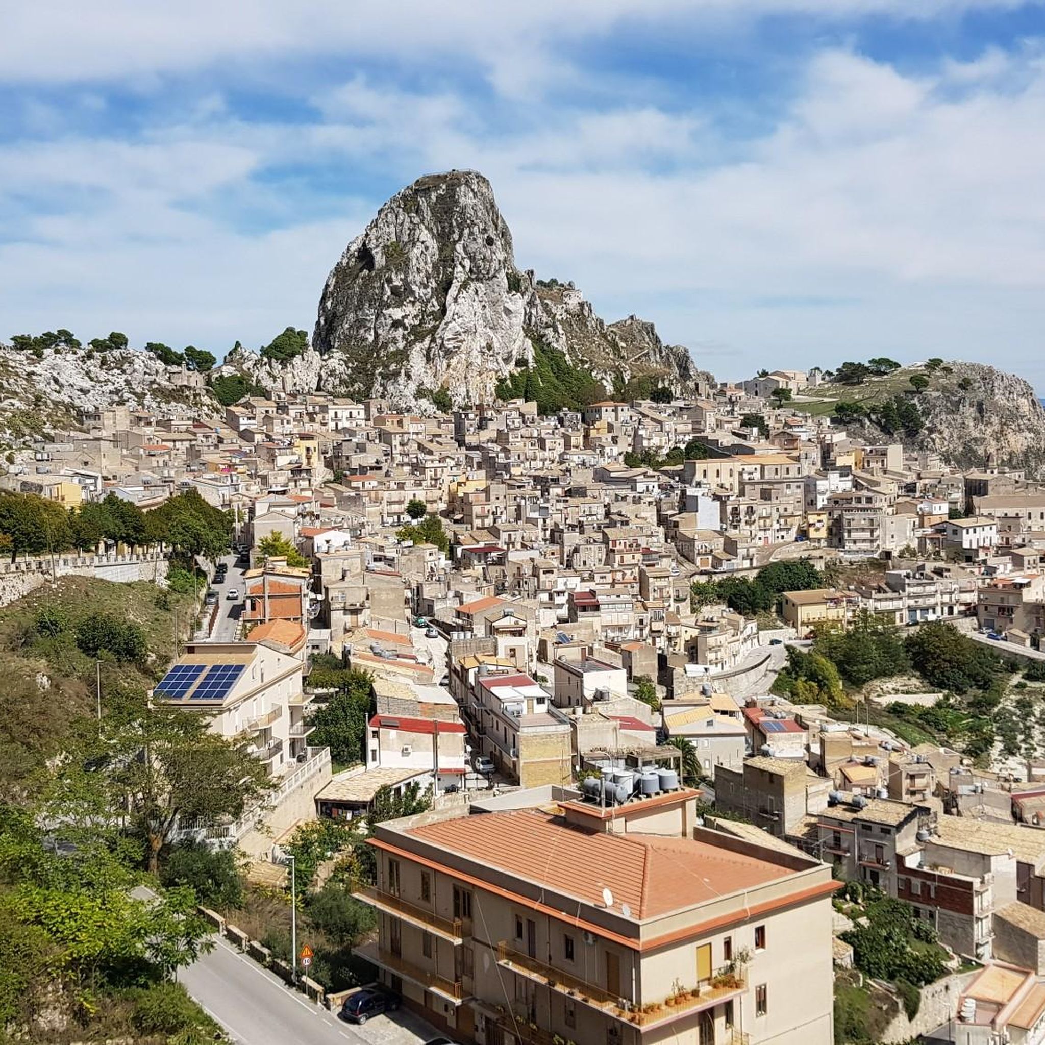
Hiking around Villafranca Sicula offers varied terrain characterized by rolling hills and valleys, often featuring historical sites and natural viewpoints. The landscape includes areas around prominent features like Monte Lucerto and the historic Caltabellotta. These routes provide opportunities to explore the region's natural beauty and cultural heritage.
Best hiking trails around Villafranca Sicula
- The most popular hiking route is Monte Lucerto Loop, an 8.8 mile (14.2 km) trail that takes about 4 hours 34 minutes to complete, offering panoramic…
Last updated: October 8, 2026
4.0
(3)
8
hikers
6.72km
02:07
270m
270m
Moderate hike. Good fitness required. Easily-accessible paths. Suitable for all skill levels.
3.8
(5)
18
hikers
14.2km
04:34
580m
580m
Hike the moderate 8.8-mile River Sosio from San Carlo loop in the Sicani Mountains, featuring gorges, ancient forests, and rich geology.

4.7
(12)
41
hikers
6.28km
01:52
200m
190m
Easy hike. Great for any fitness level. Easily-accessible paths. Suitable for all skill levels.
5.0
(10)
36
hikers
3.92km
01:17
180m
180m
Easy hike. Great for any fitness level. Easily-accessible paths. Suitable for all skill levels.
2.0
(2)
17
hikers
2.89km
00:58
140m
140m
Easy hike. Great for any fitness level. Easily-accessible paths. Suitable for all skill levels.
Get access to more routes and recommendations from other explorers.
Already have an account?
Our route recommendations are based on thousands of hikes, rides, and runs completed by other people on komoot.
Start today with a free account
Your next adventure awaits.
Popular around Villafranca Sicula
Tips from the Community

In the gorges, you have to look for the path a bit and cross the river several times by wading. No problem. Then, the path that allows you to leave the gorges is tricky to find in places but that's what makes the hike charming... 7km from the finish, we lost the path... a bit of off-roading to get back on it towards the picnic area with the straw hut. Quite a long descent to San Carlo.
0
0
The path from the village into the gorge is blocked; there is no longer any way through on the indicated route.
0
0
When the river has water (in winter), it cannot be crossed.
0
0

Opposite the street start the stairs to the castle ruins
0
0
Stairs are easy to climb and well maintained. But very steep.
1
0
It was closed for renovations when I visited, but the construction workers let me in.
0
0
The path is easy to walk but often runs along the riverbed. It is best to wear shoes that can get wet.
0
1

Fascinating cathedral, both for its unique position, located outside the city center and surrounded by a breathtaking landscape, and for its sober architecture. The tones of its facade blend harmoniously with the neighboring rocks.
1
0
Frequently Asked Questions
How many hiking trails are available around Villafranca Sicula?
There are 9 distinct hiking trails around Villafranca Sicula, offering a variety of experiences from easy strolls to more challenging moderate routes.
Are there any easy hiking trails suitable for beginners or families?
Yes, Villafranca Sicula offers 4 easy routes. A good option is the San Pellegrino Convent – Caltabellotta Castle loop from Caltabellotta, which is 3.9 miles (6.3 km) long and explores historical sites and local scenery. Another easy choice is the Caltabellotta Castle – Caltabellotta loop from Caltabellotta, a shorter 2.8 km path.
What kind of landscapes can I expect to see while hiking in Villafranca Sicula?
The region is characterized by rolling hills and valleys, often featuring historical sites and natural viewpoints. You'll encounter areas around prominent features like Monte Lucerto and the historic Caltabellotta, providing a mix of natural beauty and cultural heritage.
Are there any circular walks available in Villafranca Sicula?
Yes, several routes are circular. The popular Monte Lucerto Loop is an 8.8-mile (14.2 km) circular trail offering panoramic views. Another option is the Castello di Gristia loop from San Carlo, which is 9.7 km long.
What interesting landmarks or attractions can I visit near the hiking trails?
The area around Villafranca Sicula is rich in history and natural beauty. You can explore the historic Caltabellotta Castle, the serene San Pellegrino Convent, or the impressive Lake Magazzolo and Castello Dam. There's also the Cathedral of Maria Santissima Assunta for those interested in religious architecture.
What do other hikers enjoy most about hiking in Villafranca Sicula?
The hiking routes in Villafranca Sicula are highly rated by the komoot community, with an average score of 3.3 stars from over 20 reviews. Hikers often praise the varied terrain, the historical sites encountered along the paths, and the scenic viewpoints, particularly on routes like the Monte Lucerto Loop.
Is there public transport available to reach the hiking trailheads?
Public transport options directly to all trailheads in Villafranca Sicula can be limited. It is advisable to check local bus schedules for connections to larger towns like Caltabellotta, from where some trails are accessible. For more remote starting points, a car is often recommended.
Are there specific parking facilities for hikers?
While dedicated hiker parking facilities might not be explicitly signposted for every trailhead, you can typically find parking in or near the villages where routes begin, such as Caltabellotta or San Carlo. Always ensure you park responsibly and respect local regulations.
What is the best season for hiking in Villafranca Sicula?
The best seasons for hiking in Villafranca Sicula are generally spring and autumn. During these times, the weather is mild and pleasant, making for comfortable hiking conditions. Summers can be very hot, while winters are cooler and may bring some rain, though hiking is still possible.
Are there any routes that explore historical areas?
Yes, many routes in the region incorporate historical elements. The Caltabellotta and its secrets trail specifically explores historical areas and surrounding hills. The San Pellegrino Convent – Caltabellotta Castle loop from Caltabellotta also leads through significant historical sites.
What should I wear for hiking in Villafranca Sicula?
Given the varied terrain and potential for historical exploration, comfortable hiking shoes with good grip are essential. Layered clothing is recommended to adapt to changing temperatures, especially during spring and autumn. Don't forget sun protection, water, and a map or GPS device.
Most popular routes around Villafranca Sicula
Most popular attractions around Villafranca Sicula

Get inspired with the komoot mobile app


Explore more
Browse the best Hikes in other regions.
