The best road cycling routes around Sankt Thomas am Blasenstein
4.6
(98)
2,297
riders
155
rides
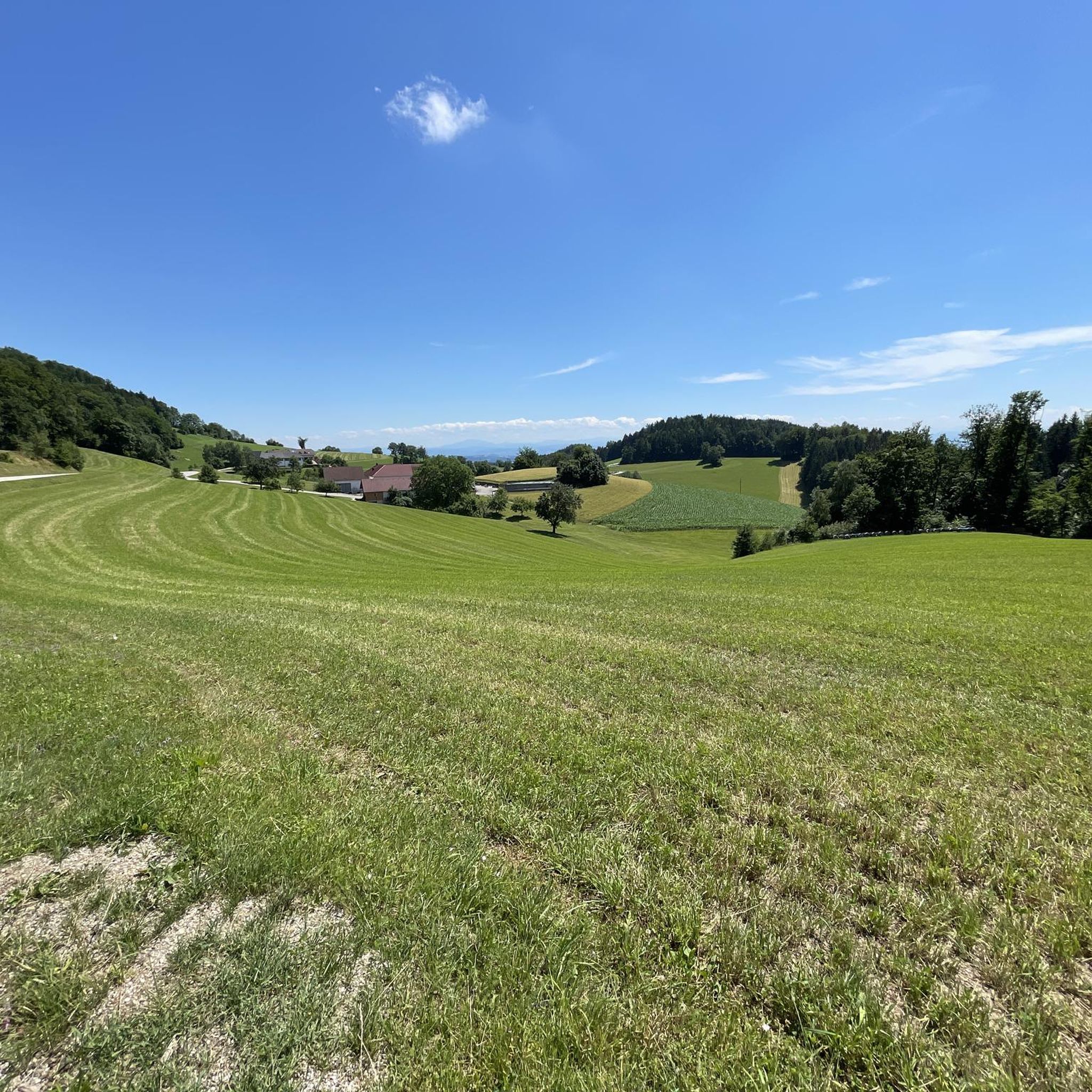
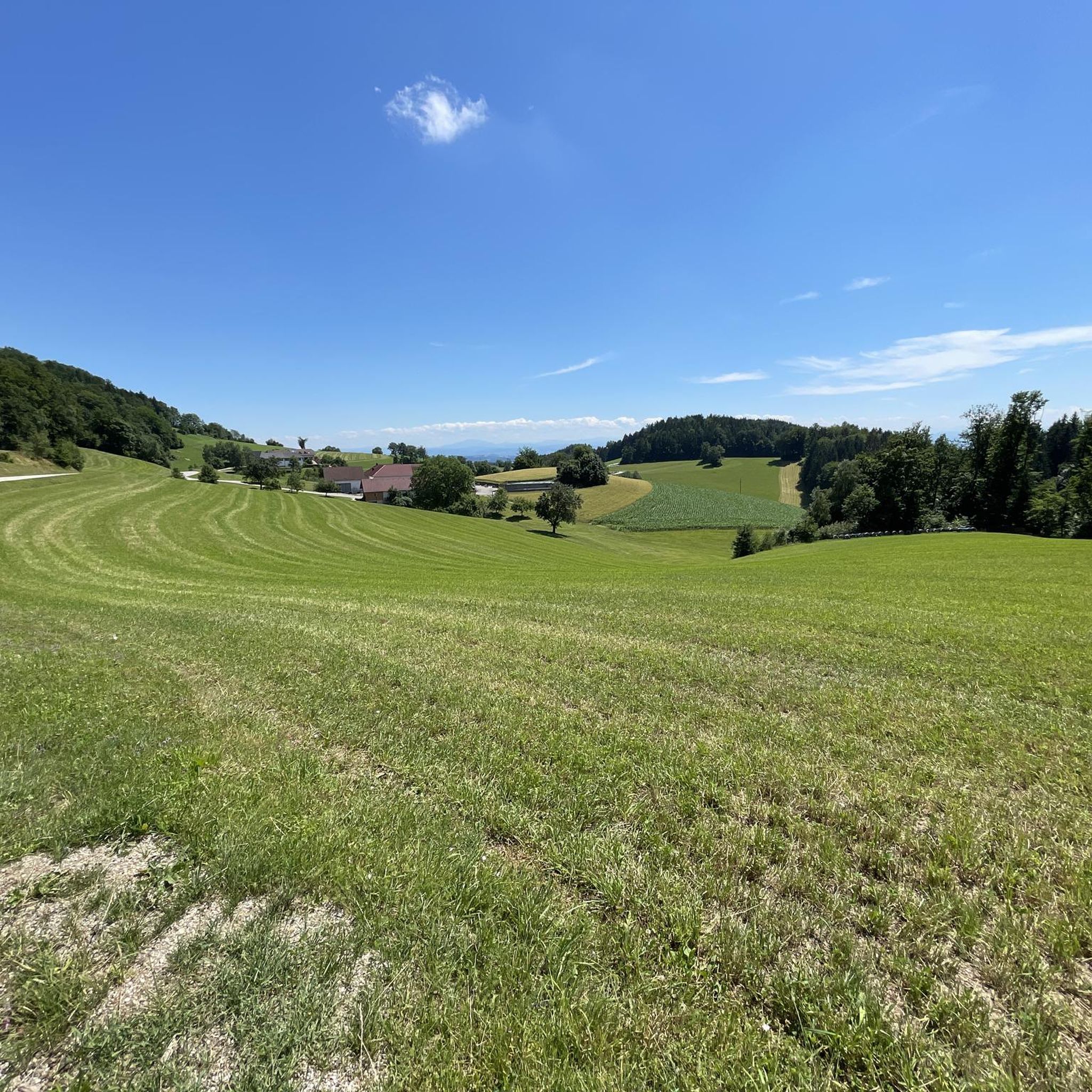
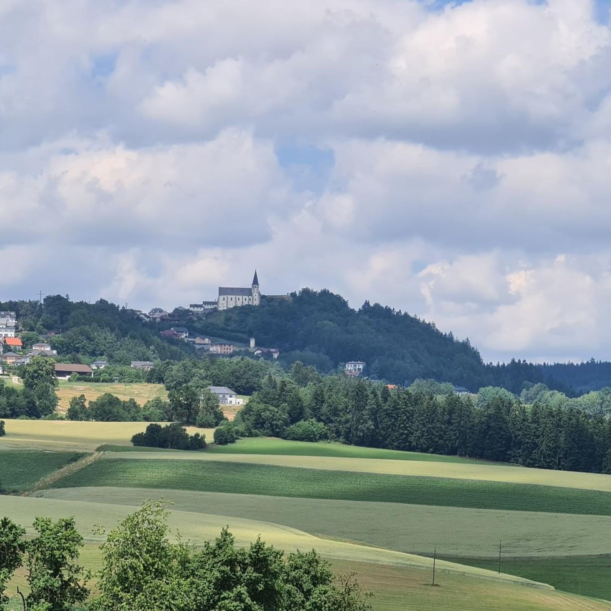
Road cycling routes around Sankt Thomas am Blasenstein traverse the hilly Mühlviertel region of Upper Austria, characterized by its undulating terrain and "Granitland" features. The area presents a diverse landscape for road cyclists, offering a blend of challenging ascents and scenic stretches. Routes often navigate through forests and meadows, with some offering connections to the Danube Cycle Path. This region provides varied conditions suitable for different levels of road cycling experience.
Best road cycling routes around Sankt Thomas am Blasenstein
…Last updated: July 8, 2026
5.0
(1)
32
riders
42.4km
02:15
780m
780m
Moderate road ride. Good fitness required. Mostly well-paved surfaces and easy to ride.
19
riders
52.2km
02:51
1,030m
1,030m
Hard road ride. Very good fitness required. Mostly well-paved surfaces and easy to ride.

Sign up for free
18
riders
Hard road ride. Very good fitness required. Mostly well-paved surfaces and easy to ride.
14
riders
Hard road ride. Very good fitness required. Some segments of this route may be unpaved and difficult to ride.
10
riders
111km
05:04
1,240m
1,240m
Hard road ride. Very good fitness required. Mostly well-paved surfaces and easy to ride.
Get access to more routes and recommendations from other explorers.
Sign up for free
Already have an account?
Our route recommendations are based on thousands of hikes, rides, and runs completed by other people on komoot.
Start today with a free account
Your next adventure awaits.
Login or Signup
Popular around Sankt Thomas am Blasenstein

Other adventures around Sankt Thomas am Blasenstein

Tips from the Community

Highest mountain pass road in Upper Austria is in Liebenau
0
0

A cloister above the church leads into the crypt of St. Thomas am Blasenstein. Since 1800 (first mentioned in writing in 1830), a mummy has been located there, known to many as the "luft'gselchter Pfarrer" (air-smoked pastor).
0
0
"Bucklwehluck`n": If you slip through the Luck`n from east to west, your back pain is over – so says wise folk wisdom.
0
0

Perfect for those who like to drive fast;)
0
0


At 1044 m above sea level, the Koblberg Pass is the highest pass in Upper Austria.
0
0

very beautiful, definitely go up to see the air-dwelling pfora and the bugiwehluckn!
0
0

Beautiful cycle path along the Danube
2
0
Frequently Asked Questions
What kind of terrain can I expect when road cycling around Sankt Thomas am Blasenstein?
Road cycling around Sankt Thomas am Blasenstein is characterized by its undulating hills and the unique "Granitland" features of the Mühlviertel region. You'll encounter a blend of challenging ascents and scenic stretches, with routes often navigating through forests and meadows. The varied terrain provides conditions suitable for different levels of road cycling experience.
Are there road cycling routes suitable for different skill levels?
Yes, the region offers a diverse network of routes catering to various abilities. Out of 159 available road cycling tours, you'll find 9 easy routes, 90 moderate routes, and 60 difficult routes. This ensures options for both casual riders and experienced cyclists seeking a challenge.
What are some challenging road cycling routes with significant elevation gain?
For experienced cyclists looking for a challenge, routes like the Königswiesen loop from Pierbach offer challenging climbs and expansive views, covering 32.4 miles (52.2 km) with over 1000 meters of elevation gain. Another demanding option is the Koblberg Pass (1,044 m) – Rubner Pond in the Tannermoor loop from St. Thomas am Blasenstein, which spans 78 km and features over 1400 meters of ascent.
What natural features or landmarks can I see while cycling in the region?
The area is rich in natural and cultural landmarks. You can explore fascinating granite formations like the "Zigeunermauer" (Gypsy Wall) and the "Bucklwehluck'n." For panoramic views, consider visiting the Gobelwarte Observation Tower, which offers expansive vistas of Grein and the Strudengau. Other notable sights include the Weltstein and the Herrgottssitz Rock Formation.
Are there any scenic viewpoints along the road cycling routes?
Absolutely. The hilly landscape provides numerous scenic spots. The Gobelwarte Observation Tower is a prime location for breathtaking views of Grein and the Strudengau region. Many routes also offer glimpses of the Danube and the picturesque town of Grein, including a notable view of Grein and Greinburg Castle from the Danube Cycle Path.
Can I connect to other major cycle paths from Sankt Thomas am Blasenstein?
Yes, the proximity to the Danube allows access to the renowned Danube Cycle Path and the Strudengau Route. These connections offer picturesque riverside rides and lead to charming towns like Grein, which is a frequent stop for cyclists and boasts historic sites like Greinburg Castle.
What do other road cyclists say about the routes in Sankt Thomas am Blasenstein?
The road cycling routes in Sankt Thomas am Blasenstein are highly rated by the komoot community, with an average score of 4.6 stars from over 80 reviews. Cyclists often praise the diverse terrain, the blend of challenging ascents and scenic stretches, and the unique "Granitland" character of the region.
Are there any family-friendly road cycling options in the area?
While the region is known for its undulating hills, there are 9 easy routes available that could be suitable for families or those preferring less strenuous rides. For flatter, more relaxed cycling, connecting to the nearby Danube Cycle Path offers a gentler experience along the river.
Where can I find places to eat or stay that are cyclist-friendly?
The town of Grein, easily accessible from some routes, offers a scenic town square with cafes and restaurants. Many accommodations in the Mühlviertel region cater to outdoor enthusiasts, including cyclists. It's advisable to check with specific establishments for bike storage or other cyclist-friendly amenities.
What is a popular moderate road cycling route in the area?
A popular moderate route is the Unterweißenbach – Königswiesen loop from Pierbach. This 26.3-mile (42.3 km) trail takes approximately 2 hours and 14 minutes to complete and features the undulating hills typical of the Mühlviertel, making it a great option for a rewarding ride without extreme difficulty.
Are there any long-distance road cycling routes for endurance riders?
Yes, for endurance riders, routes like the Tragwein – Josefstal loop from Pierbach offer a significant challenge. This difficult route spans over 110 kilometers (68 miles) and involves substantial elevation gain, providing a comprehensive tour of the region's varied landscape.
What cultural or historical sites can be explored near the cycling routes?
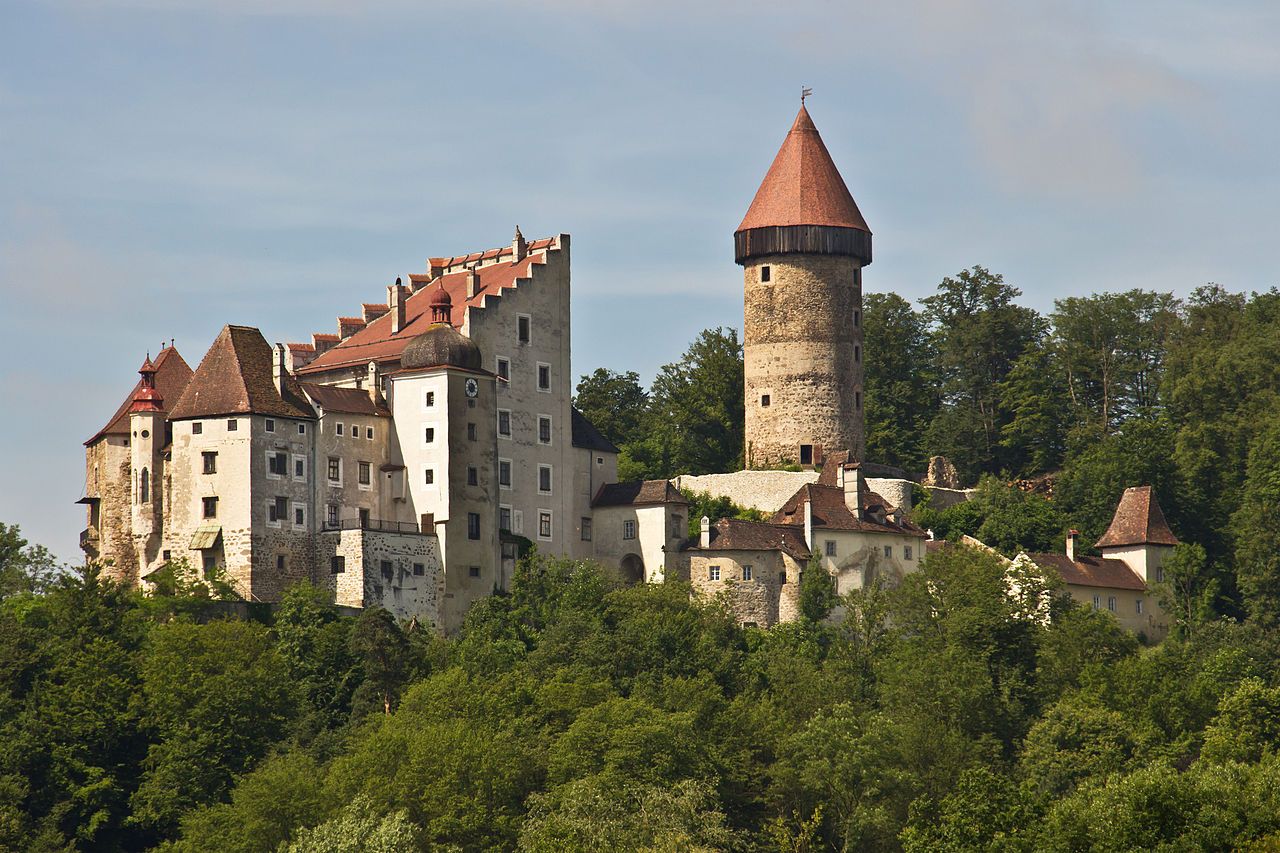
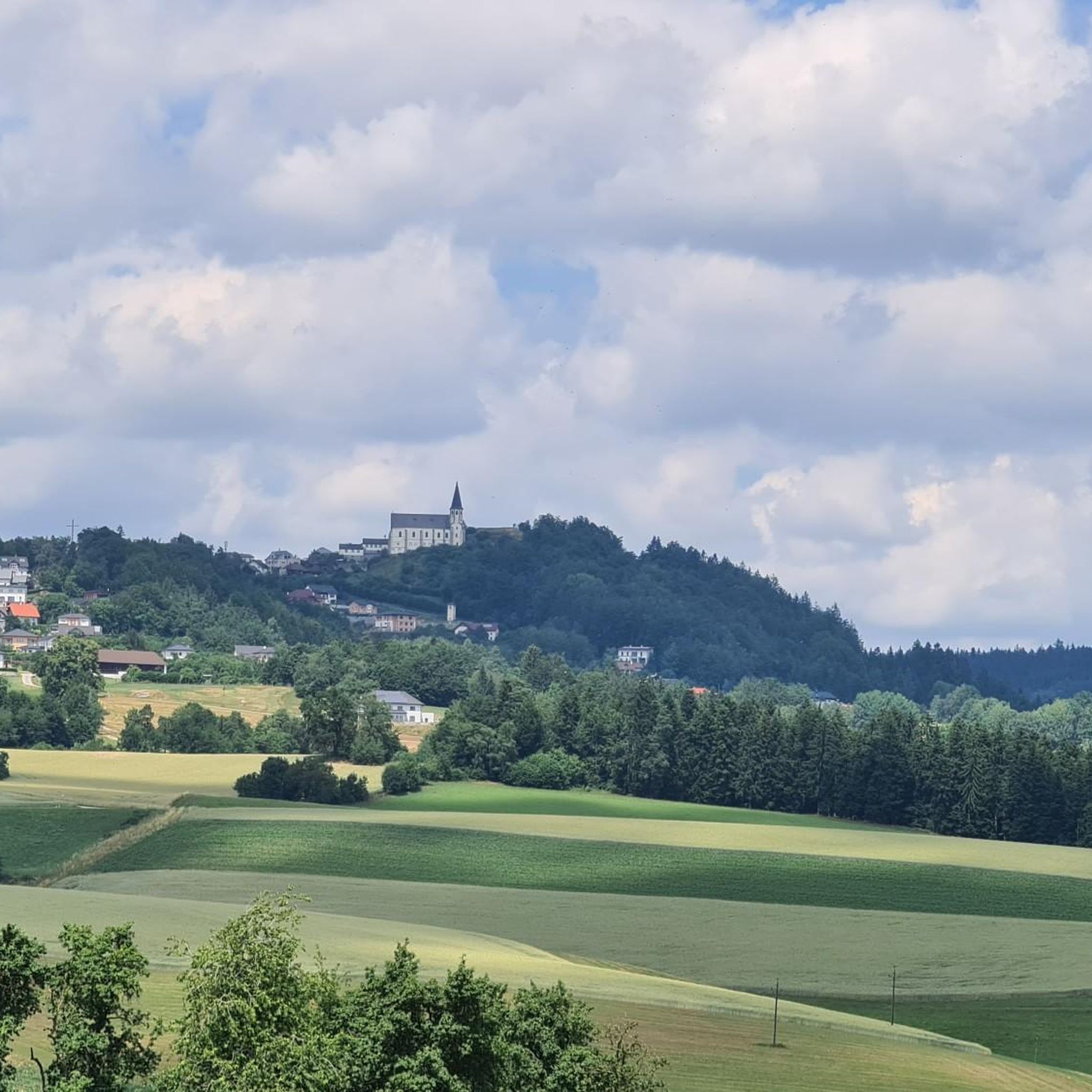
Beyond the natural beauty, the region is rich in history. You can find historic ruins like Prandegg and Ruttenstein along the "Castle Tour." The town of Grein features Greinburg Castle, Austria's oldest residential castle, and a historic town theater. Sankt Thomas am Blasenstein itself is home to a beautiful pilgrimage church and nearby ruins like Klingenberg and Saxenegg.
Most popular routes around Sankt Thomas am Blasenstein
Most popular attractions around Sankt Thomas am Blasenstein

Get inspired with the komoot mobile app


Explore more
Browse the best Road cycling routes in other regions.
