The best walks and hikes around Sankt Oswald bei Haslach
4.6
(2409)
13,898
hikers
33
hikes
Hiking trails around Sankt Oswald bei Haslach are situated in the Upper Mühlviertel region of Austria, characterized by its diverse landscape. The area features rolling hills, dense forests, and open meadows, forming part of the Bohemian Forest (Böhmerwald). This terrain includes valleys with rivers and streams, alongside unique moorland areas and rock formations, providing varied hiking environments.
Best hiking trails around Sankt Oswald bei Haslach
- The most popular hiking route is Große Mühl River Bend – Kranzling Recreation Center loop…
Last updated: October 13, 2026
4.8
(18)
140
hikers
Moderate hike. Good fitness required. Easily-accessible paths. Suitable for all skill levels.
4.8
(28)
127
hikers
4.81km
01:25
140m
140m
Easy hike. Great for any fitness level. Easily-accessible paths. Suitable for all skill levels.

5.0
(7)
56
hikers
Moderate hike. Good fitness required. Easily-accessible paths. Suitable for all skill levels.
5.0
(5)
21
hikers
Moderate hike. Good fitness required. Easily-accessible paths. Suitable for all skill levels.
5.0
(5)
16
hikers
Moderate hike. Good fitness required. Mostly accessible paths. Sure-footedness required.
Get access to more routes and recommendations from other explorers.
Already have an account?
Our route recommendations are based on thousands of hikes, rides, and runs completed by other people on komoot.
Start today with a free account
Your next adventure awaits.
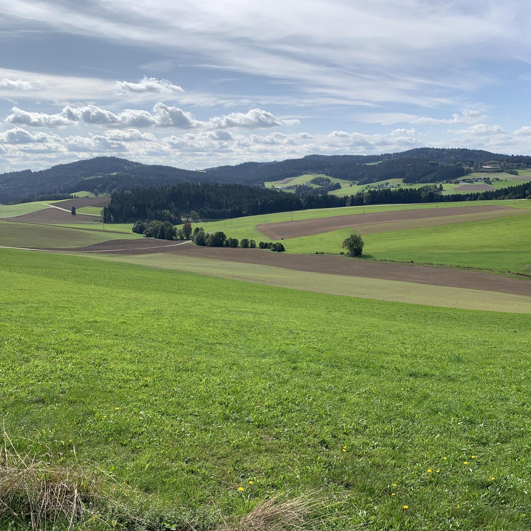
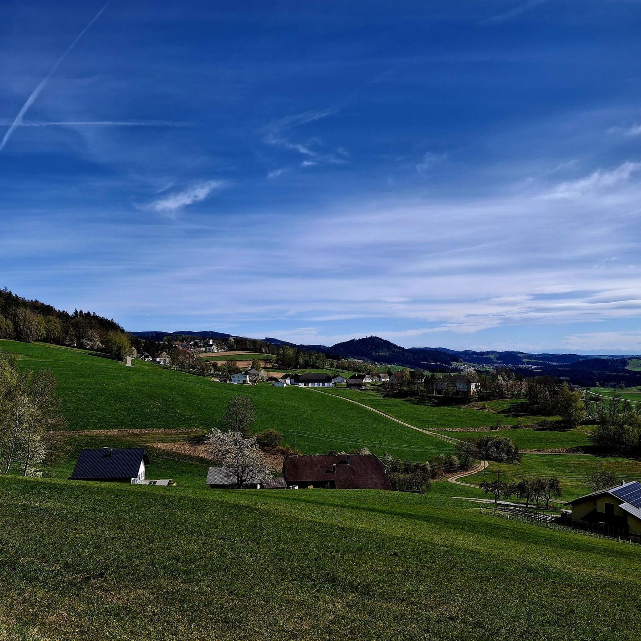
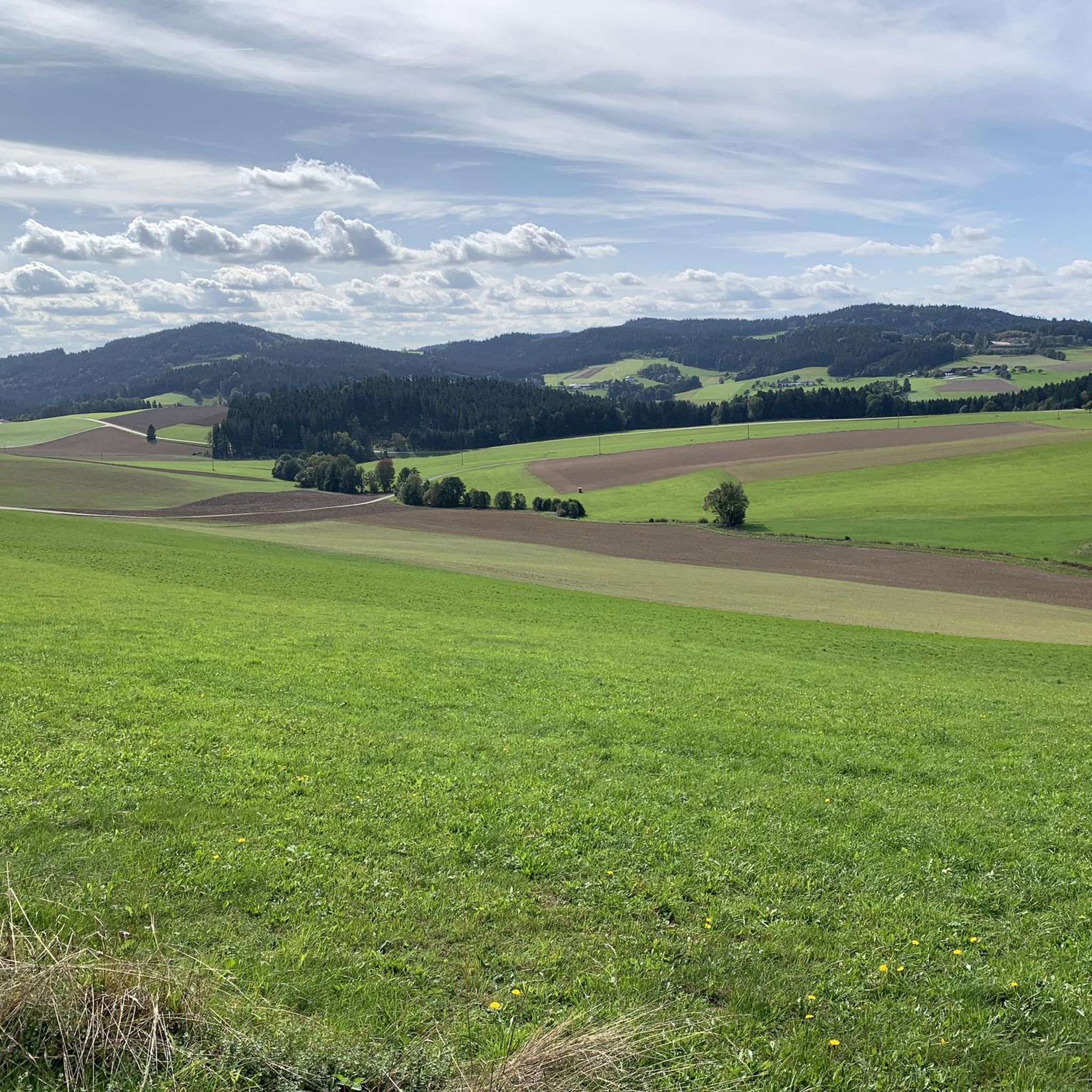
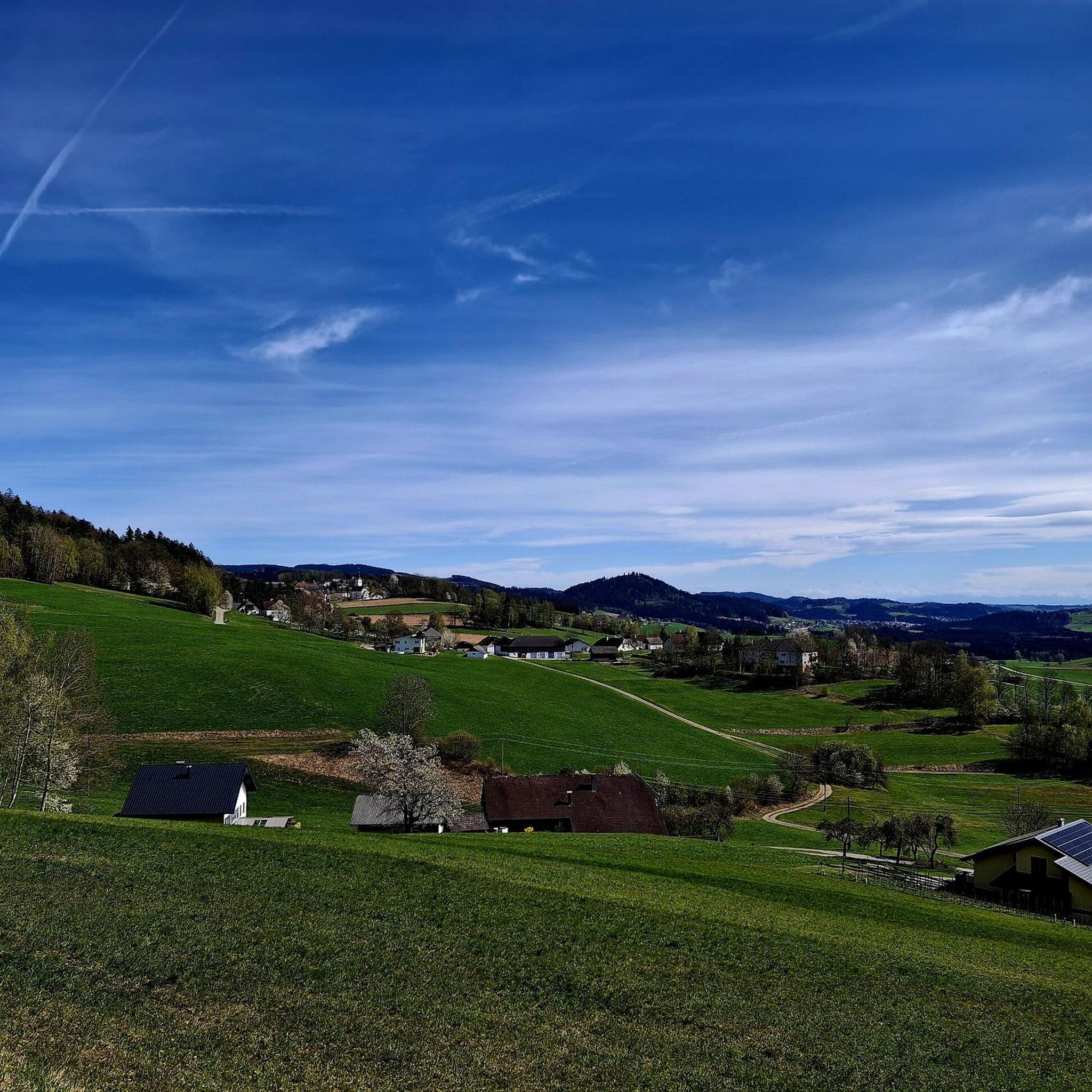
Tips from the Community

A good inn is located next to the church. Always worth a visit.
0
0

Very nice section of the flood channel!
0
0
Good idea for a sculpture.
0
0
Beautiful old boundary stone with a detailed information board.
0
0
Probably one of the most beautiful sections on the Schwarzenbergischen Schwemmkanal.
0
0

A hike of approximately 1 1/2 hours; hiking boots are required.
0
0

European main watershed Rosenhügel where the village of Rosenhügel once stood
0
0
Imperial and Royal Land of Upper Austria, Year 1788
0
0
Frequently Asked Questions
How many hiking trails are available around Sankt Oswald bei Haslach?
There are over 30 hiking routes around Sankt Oswald bei Haslach, offering a diverse range of experiences. These include easy walks, moderate trails, and a few more challenging options, catering to various fitness levels.
What is the general difficulty level of hiking trails in Sankt Oswald bei Haslach?
The trails around Sankt Oswald bei Haslach offer a good mix of difficulties. You'll find 12 easy routes perfect for a relaxed stroll, 20 moderate trails for those seeking a bit more challenge, and 1 difficult route for experienced hikers. The region's landscape, with its rolling hills and dense forests, provides varied terrain.
Are there easy or family-friendly hiking options in Sankt Oswald bei Haslach?
Yes, Sankt Oswald bei Haslach offers several easy and family-friendly hiking options. For instance, the Crucifix Near Morau loop from St. Oswald bei Haslach is an easy 3.0-mile (4.8 km) path with gentle terrain. The historic Schwarzenberg Canal also features the 'Steep Steps Trail,' a small, easy round trip of 4.3 kilometers, suitable for families.
Can I find circular hiking routes in the area?
Many of the hiking routes in Sankt Oswald bei Haslach are circular, allowing you to start and end at the same point. Examples include the Große Mühl River Bend – Kranzling Recreation Center loop from Lichtenau im Mühlkreis, which is a moderate 8.2-mile (13.3 km) trail, and the Connect It Sculpture – Crucifix Near Morau loop from St. Oswald bei Haslach, a moderate 5.1-mile (8.3 km) route.
Are there any longer or more challenging hikes available?
For those seeking longer or more challenging hikes, Sankt Oswald bei Haslach has options. The Crucifix Near Morau – Grenze-Malga di Cima Hut loop from St. Oswald bei Haslach is a moderate 10.6-mile (17.1 km) trail that takes nearly 5 hours to complete, leading through varied landscapes. The region also features trails with up to 3,000 feet of elevation gain, requiring good fitness and sure-footedness.
What natural attractions or landmarks can I see along the hiking trails?
The hiking trails in Sankt Oswald bei Haslach offer access to several natural attractions. You can explore parts of the Bohemian Forest, discover unique moorland areas like the natural heritage Spirkenhochmoor "Bayrische Au" with its adventure trail, or visit the Bärenstein Summit for magnificent views. The Lipno Reservoir also extends into Austria, offering scenic views and the Bayrische Au Boardwalk.
Are there any historical sites to explore while hiking?
Yes, the region boasts historical significance. A notable historical feature is the Schwarzenberg Canal, an 18th-century timber canal over 50 kilometers long. Hikers can follow sections of this canal, including the 'Steep Steps Trail,' where timber once plunged down granite-lined steps.
What do other hikers enjoy the most about hiking in Sankt Oswald bei Haslach?
The hiking experience in Sankt Oswald bei Haslach is highly rated by the komoot community, with an average score of 4.6 stars from over 600 reviews. Hikers often praise the diverse landscape, which includes dense forests, rolling hills, and river valleys, as well as the well-marked routes that cater to different ability levels.
Is Sankt Oswald bei Haslach a good destination for winter hiking?
While the region is beautiful year-round, specific information on winter hiking conditions is not provided. However, the diverse landscape of dense forests and rolling hills suggests potential for winter walks, though conditions can vary. It's always advisable to check local weather and trail conditions before planning a winter hike.
Are there any viewpoints with panoramic vistas?
Absolutely. The Bärenstein Summit, at 1,077 meters high, is a prime location for panoramic views. On clear days, you can see as far as the Alps, making the ascent to its imposing summit cross a rewarding experience.
Can I find trails that are accessible by public transport?
While many trails in the region are best accessed by car, the area's popularity suggests some routes may be reachable via local public transport options. For specific public transport connections to trailheads, it's recommended to consult local transport schedules or tourist information centers in Sankt Oswald bei Haslach.
Are there opportunities to see wildlife during hikes?
The diverse landscape of the Bohemian Forest, with its vast forests, valleys, and moorland areas, provides a rich habitat for various plant and animal species. While specific wildlife sightings cannot be guaranteed, hikers often have the chance to observe local flora and fauna in their natural environment.
Most popular routes around Sankt Oswald bei Haslach
Most popular attractions around Sankt Oswald bei Haslach

Get inspired with the komoot mobile app


Explore more
Browse the best Hikes in other regions.
