The best road cycling routes around Aprica
4.5
(252)
14,510
riders
62
rides
Road cycling routes around Aprica are situated in the Valtellina valley, an Italian Alpine destination at an elevation of 1,200 meters. The region is characterized by its strategic location on a pass connecting the Adda valley to Valcamonica, offering access to numerous challenging Alpine passes. Cyclists navigate diverse terrain, including significant elevation gains, well-paved roads, and some unpaved segments, set against the backdrop of the Orobie Valtellinesi Park and the Adda River.
Best road cycling routes around Aprica
- The most…
Last updated: July 11, 2026
4.7
(51)
5,491
riders
139km
07:37
2,930m
2,930m
Hard road ride. Very good fitness required. Mostly well-paved surfaces and easy to ride.
5.0
(1)
89
riders
47.5km
03:13
1,590m
1,590m
Hard road ride. Very good fitness required. Mostly well-paved surfaces and easy to ride.

Sign up for free
59
riders
62.9km
03:31
1,350m
1,350m
Hard road ride. Very good fitness required. Mostly well-paved surfaces and easy to ride.
5.0
(2)
37
riders
143km
09:05
4,180m
4,180m
Hard road ride. Very good fitness required. Mostly well-paved surfaces and easy to ride.
4.5
(2)
83
riders
18.8km
01:14
450m
450m
Moderate road ride. Good fitness required. Some segments of this route may be unpaved and difficult to ride.
Get access to more routes and recommendations from other explorers.
Sign up for free
Already have an account?
Our route recommendations are based on thousands of hikes, rides, and runs completed by other people on komoot.
Start today with a free account
Your next adventure awaits.
Login or Signup
Popular around Aprica
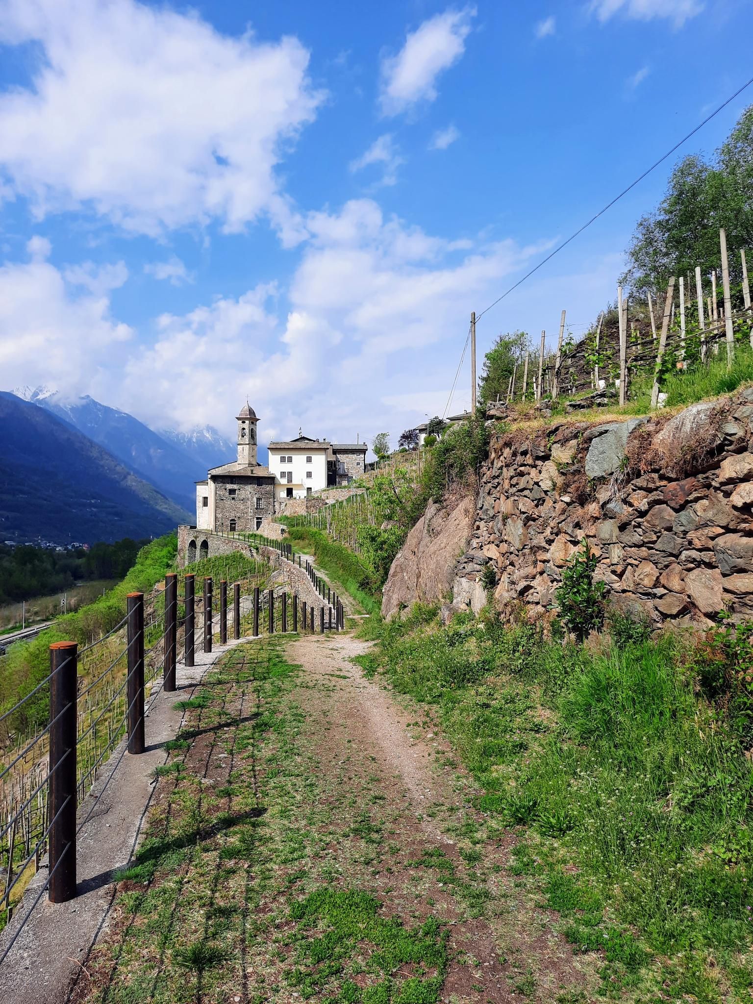


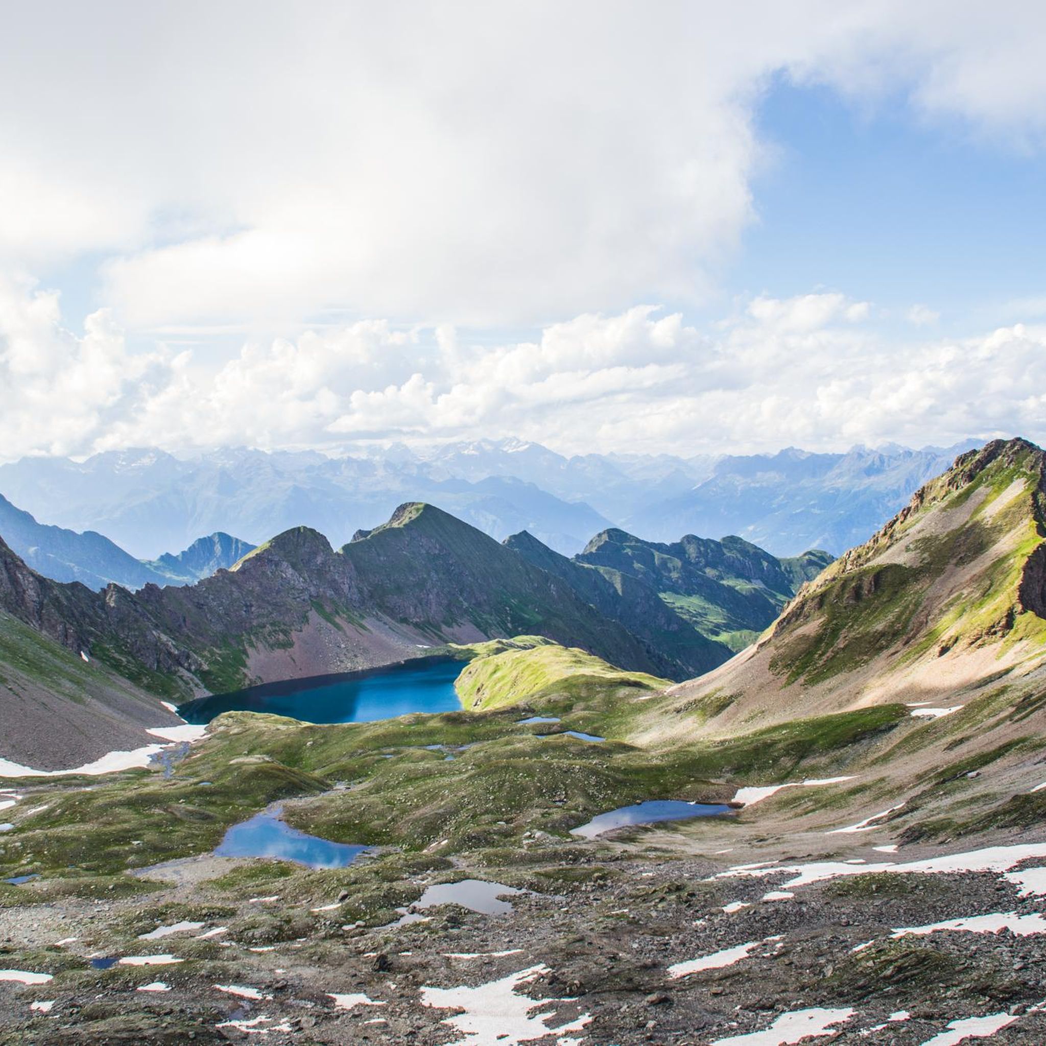
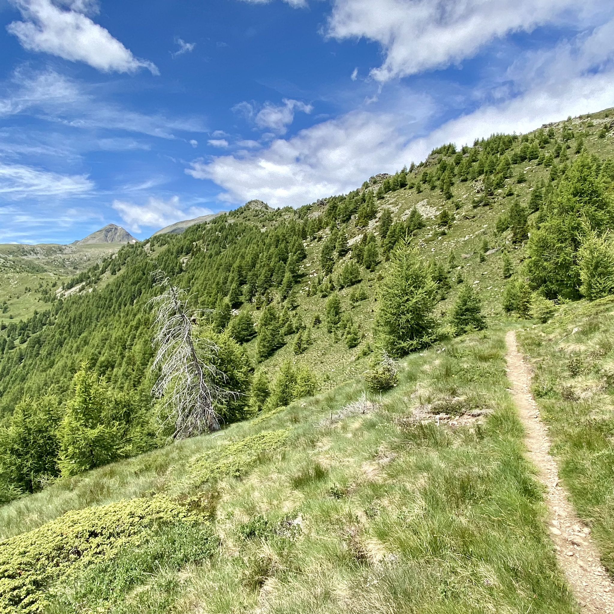
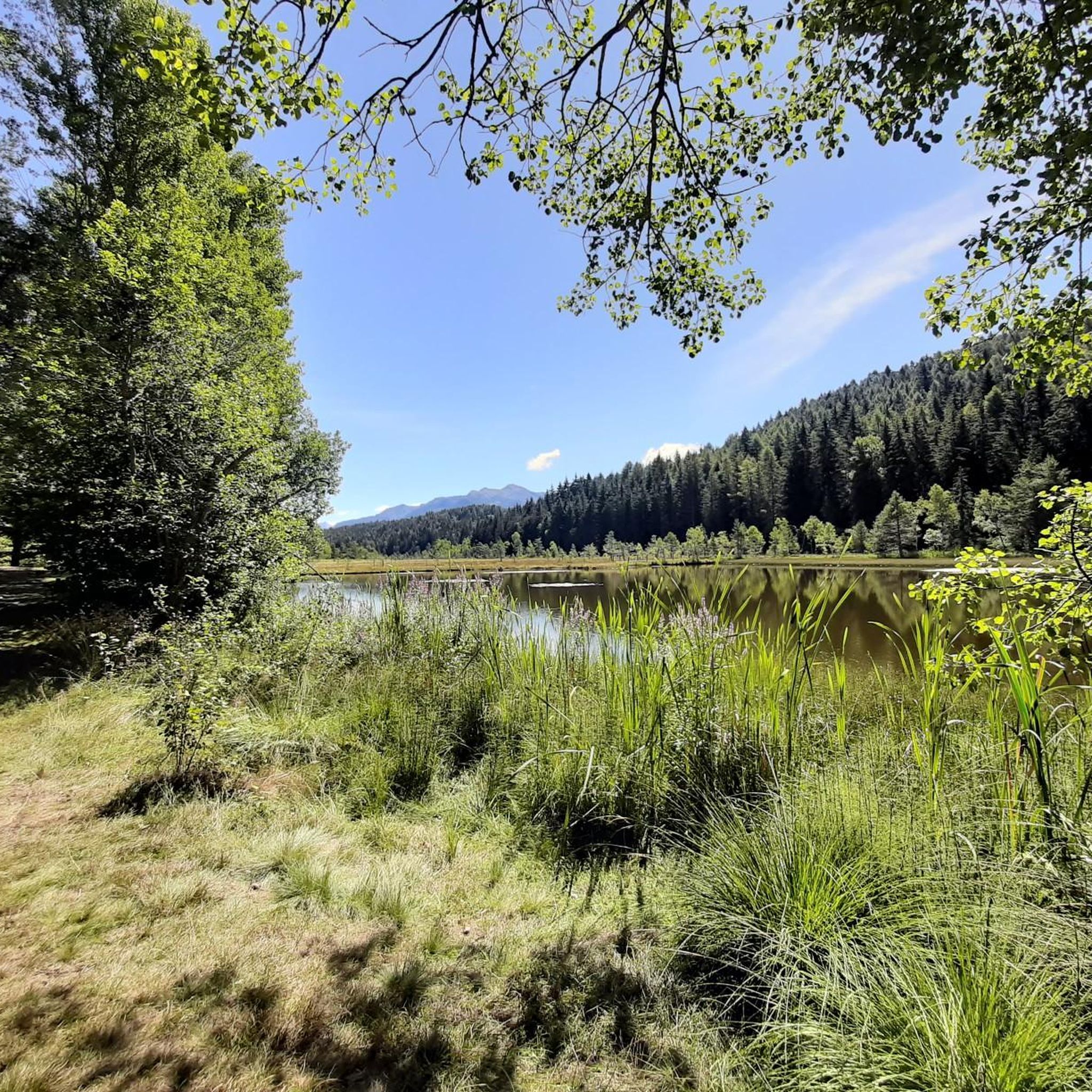
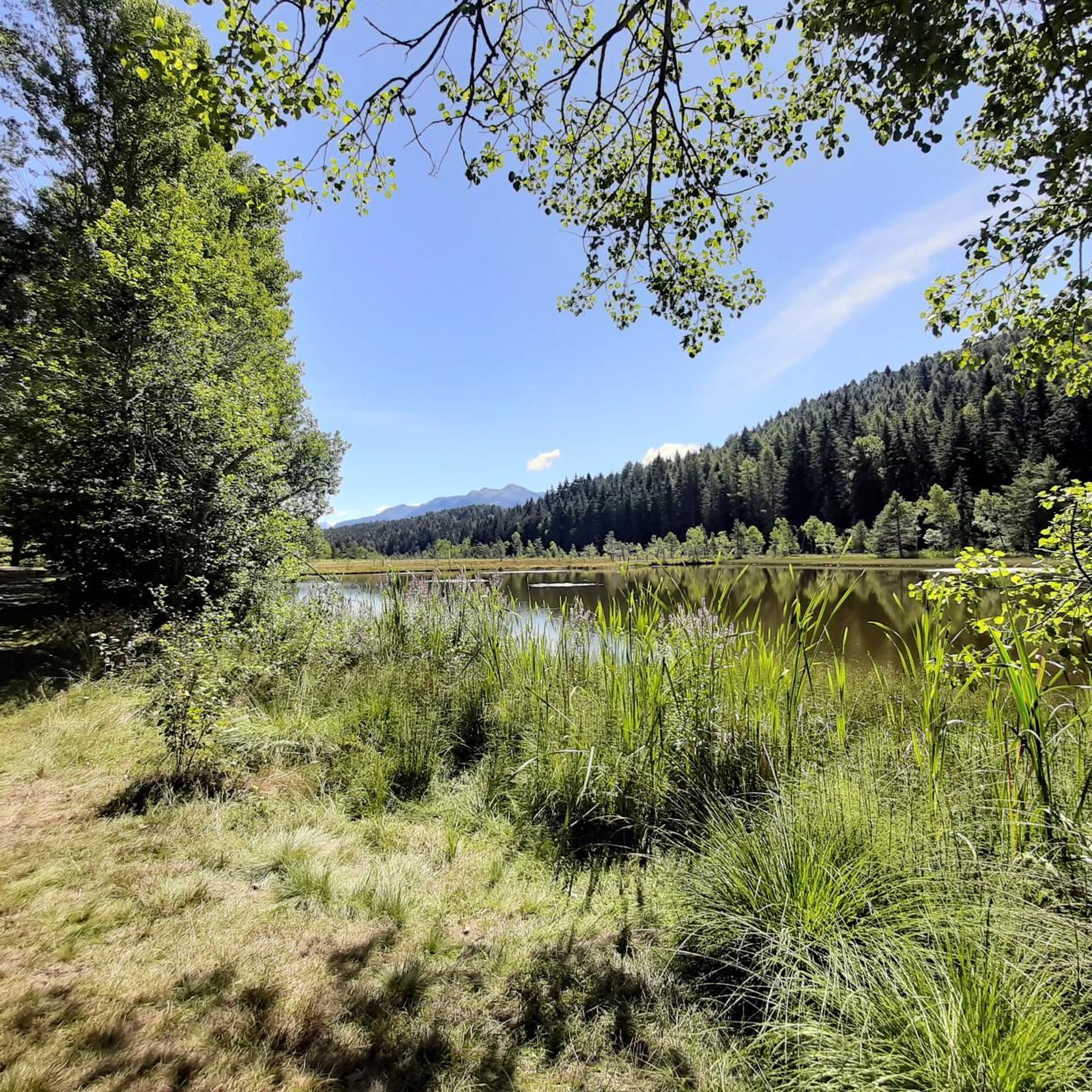

Other adventures around Aprica


Tips from the Community


Arrival pass of the stage of many international races and above all essential for passing various passes such as Passo Cristina, Passo Mortirolo and Tonale
0
0

Breathtaking view, even when frozen
0
0

Beautiful path from Lake Como to Bormio!
0
0

Lago di Poschiavo / Puschlav Lake The Lago di Poschiavo, or Puschlav Lake in German, is located in the southern Graubünden municipality of Poschiavo/Puschlav. The natural reservoir is 962 meters above sea level. The lake is approximately 2.5 km long in a north/south direction and one kilometer wide. The Poschiavino river is both an inflow and outflow of the lake, which is up to 80 m deep at most. The Rhaetian Railway line runs along the western shore towards Brusio and Tirano in Italy. The village center of Poschiavo is about five kilometers north of the Puschlav Lake. On the lake itself are the villages of Miralago in the south and Le Prese in the north end. Both villages have Rhaetian Railway stops. The approximately seven-kilometer circular route around the Lago di Poschiavo can be completed in just under two hours. Since 2016, the "Sassalbo" has been a rentable boat on Lake Poschiavo. It is considered the largest passenger ship in the canton of Graubünden. Text / Source: schweizersee.ch https://www.schweizersee.ch/lago_di_poschiavo/
15
0

A dedication to the great Pantani.
4
0
Monument dedicated to the pirate.
5
0
Frequently Asked Questions
How many road cycling routes are available in Aprica?
Aprica offers a wide variety of road cycling routes, with over 60 different tours available. These range from easy rides to very difficult ascents, catering to all levels of cyclists.
What kind of terrain can I expect on road cycling routes around Aprica?
The road cycling routes around Aprica are incredibly diverse. You'll encounter significant elevation gains through the stunning Valtellina valley and the Orobie Valtellinesi Park. While many routes feature well-paved roads, some segments, particularly on more challenging climbs, might be unpaved and demand good bike handling skills. Expect breathtaking Alpine scenery throughout.
Are there any easy road cycling routes suitable for beginners or families in Aprica?
Yes, Aprica offers options for less experienced cyclists and families. While many routes involve elevation, easier options like the Aprica Town Entrance Arch – Aprica Pass loop from Aprica provide a moderate introduction to the area's cycling. For a more relaxed experience, the Sentiero Valtellina, running alongside the Adda River, offers a flatter, scenic path through orchards. E-bike rentals are also available to make routes more accessible.
What are some challenging road cycling routes for experienced cyclists in Aprica?
Aprica is renowned for its challenging Alpine passes, perfect for experienced cyclists. The region provides access to legendary climbs such as the Mortirolo Pass, known for its steep gradients, and the Santa Cristina Pass. Routes like the Aprica, Santa Cristina – loop tour in the Orobie Valtellinesi Park and the Passo del Tonale ascent – Tonale Pass loop from Aprica offer significant elevation gains and demanding climbs through spectacular alpine scenery.
What is the best time of year to go road cycling in Aprica?
The best time for road cycling in Aprica is typically from late spring through early autumn, roughly May to October. During these months, the weather is generally milder, and the high mountain passes are more likely to be clear of snow. Summer offers the warmest temperatures, but spring and autumn provide cooler rides and stunning seasonal foliage.
Are there any circular road cycling routes around Aprica?
Yes, many of Aprica's road cycling routes are designed as loops, allowing you to start and finish in the same location. Examples include the Passo di Trivigno – View of Aprica loop from Aprica and the Aprica Pass – View of Valtellina Valley loop from Aprica, which offer scenic rides with varying difficulty levels.
What natural attractions or landmarks can I see along the road cycling routes?
Aprica's road cycling routes are set amidst stunning natural beauty. You can enjoy views of the Valtellina Valley, explore the Orobie Valtellinesi Park, and pass by picturesque lakes such as Barbellino Reservoir and Lake Valbona. The region also features impressive waterfalls like Serio Falls and Vò Waterfall, offering scenic stops along your ride.
What do other road cyclists enjoy most about road cycling in Aprica?
The road cycling experience in Aprica is highly rated by the komoot community, with an average score of 4.5 stars. Cyclists frequently praise the region's diverse terrain, from challenging Alpine passes to scenic valley rides, and the breathtaking panoramic views. The well-maintained roads and the opportunity to tackle legendary Giro d'Italia climbs are also often highlighted.
Are there any specific passes or climbs that are a must-do for road cyclists in Aprica?
For road cyclists, the Aprica Pass itself is a significant feature, often included in Giro d'Italia routes. However, the nearby Mortirolo Pass is legendary for its challenging gradients and is a must-do for those seeking a formidable climb. Other notable passes within reach include the Gavia Pass, Stelvio Pass, and Passo del Tonale, offering unforgettable Alpine cycling experiences.
Can I find cafes or accommodation along the road cycling routes in Aprica?
Aprica is a well-established Alpine destination, so you'll find various cafes, restaurants, and accommodation options within the town itself. Many of the major passes and towns along popular cycling routes also offer places to refuel and rest. It's always a good idea to plan your route and check for services in advance, especially on longer or more remote rides.
Is it possible to combine road cycling with other outdoor activities in Aprica?
Absolutely! Aprica is an outdoor activity hub. Beyond road cycling, the region offers over 200 km of marked hiking trails, opportunities for mountain biking, and exploration within the Orobie Valtellinesi Park. You can also visit natural reserves, observe local wildlife at the Alpine Eco-Faunistic Observatory, or enjoy the picturesque lakes and waterfalls, making it a perfect destination for a multi-sport adventure.
Most popular attractions around Aprica

Get inspired with the komoot mobile app


Explore more
Browse the best Road cycling routes in other regions.
