The best walks and hikes around Sankt Marienkirchen an der Polsenz
4.5
(1963)
12,112
hikers
28
hikes
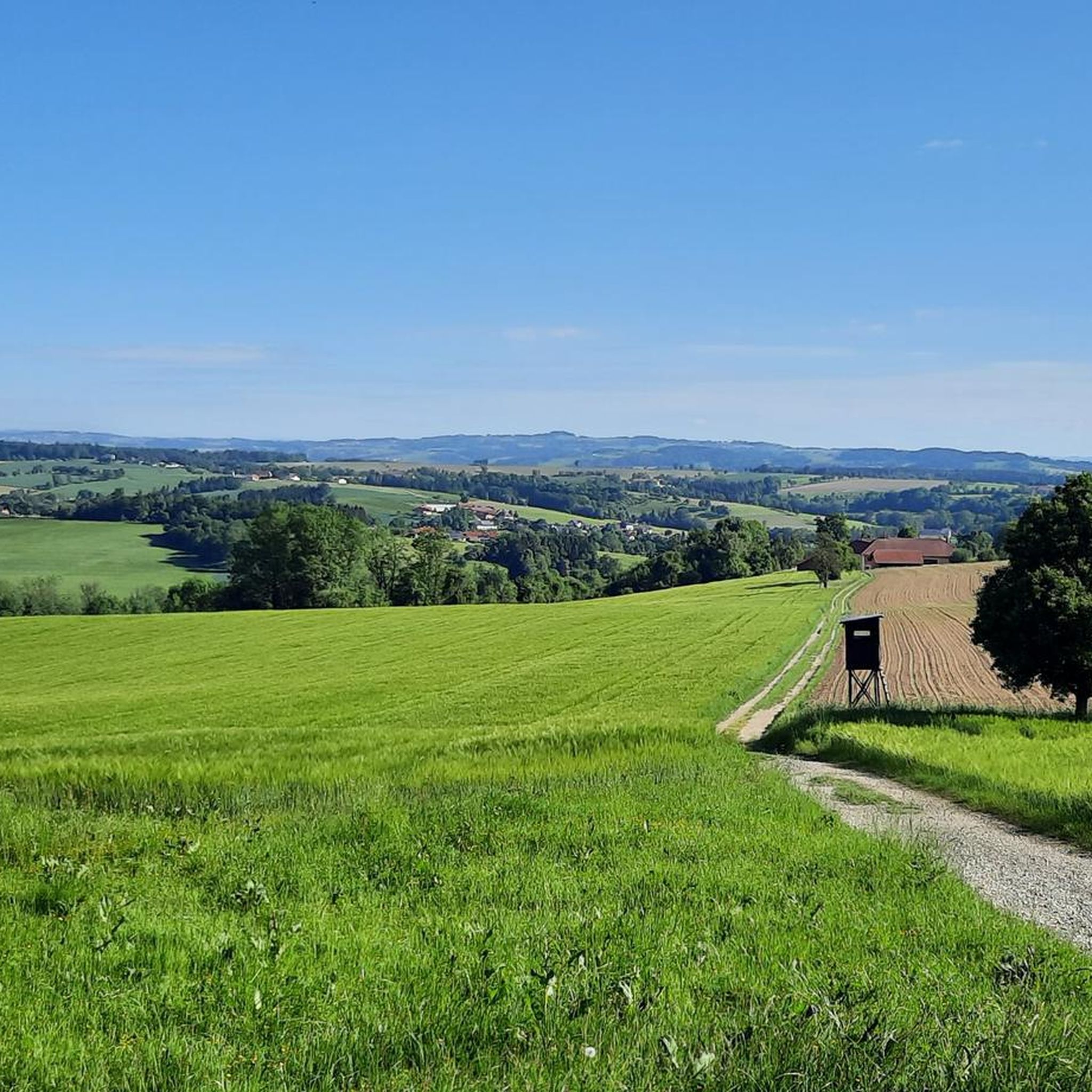
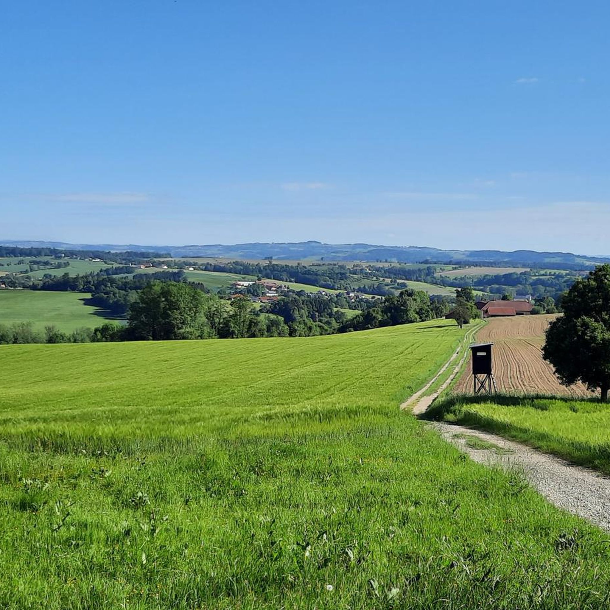
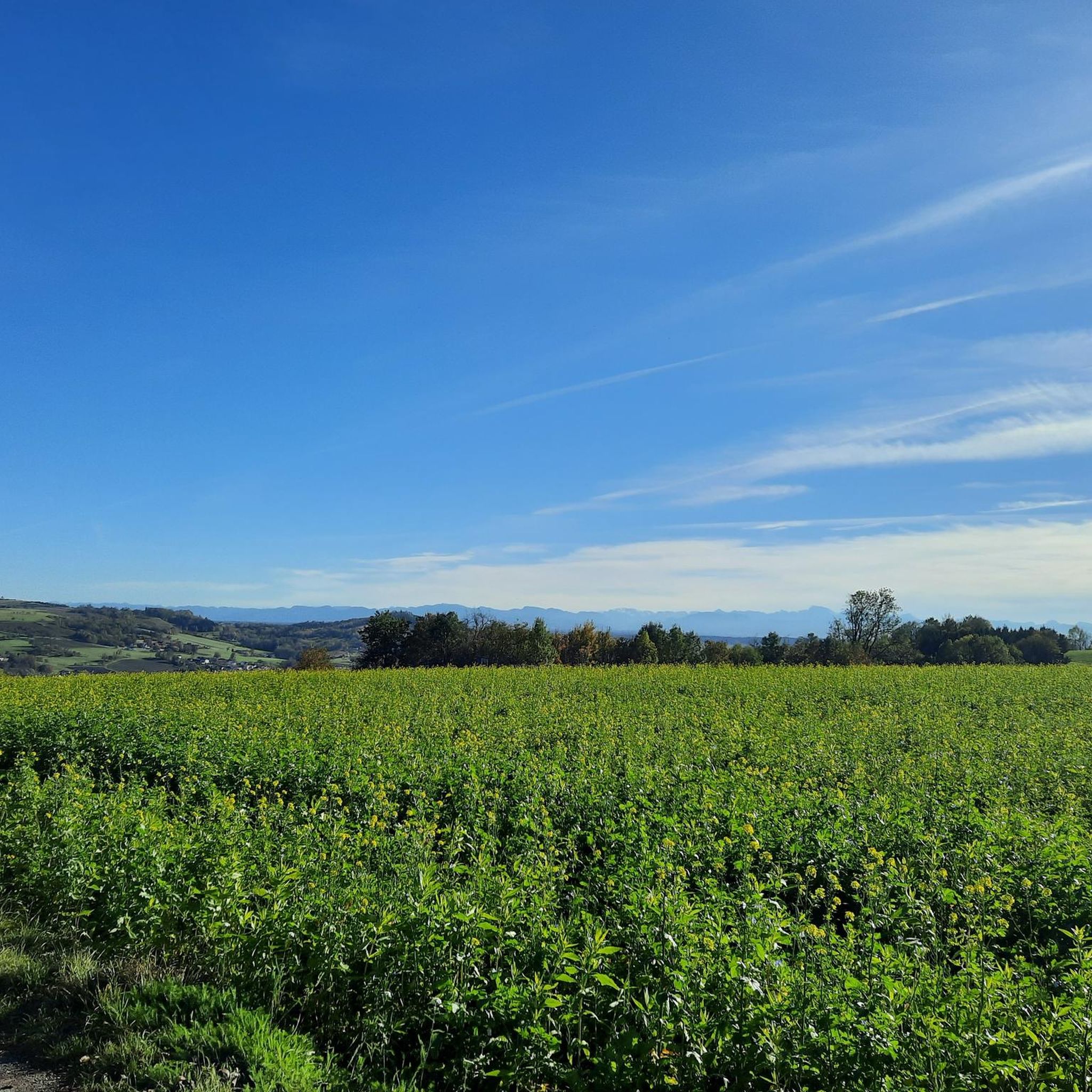
Hiking around Sankt Marienkirchen an der Polsenz offers routes through a predominantly rural and gently rolling hilly landscape in Upper Austria. The area is characterized by soft, undulating countryside, with elevations ranging from 286 to 441 meters above sea level. The Polsenz Stream traverses the municipality, providing scenic routes along its banks. The Mayrhofberg, at 655 meters, is the highest point in the region, offering panoramic views.
Best hiking trails around Sankt Marienkirchen an der Polsenz
- The most popular hiking route is Mostmuseum St. Marienkirchen loop from St. Marienkirchen an der Polsenz, a 5.5 miles (8.8 km) trail that takes 2 hours 26 minutes to complete. This moderate route features the local Mostmuseum as a key point of interest.
- Another top favourite among local hikers is Mostmuseum St. Marienkirchen – Römerstein loop from St. Marienkirchen an der Polsenz, a moderate 4.9 miles (8.0 km) path. This trail includes the Römerstein landmark and takes approximately 2 hours 15 minutes to complete.
- Local hikers also love the Mostmuseum St. Marienkirchen – Polsenz loop from St. Marienkirchen an der Polsenz, a 4.0 miles (6.5 km) trail leading through the Polsenz Stream valley, often completed in about 1 hour 49 minutes.
- Hiking around Sankt Marienkirchen an der Polsenz is defined by gently rolling hills, the Polsenz Stream, and rural terrain, with options for easy walks and more moderate trails.
- The routes in Sankt Marienkirchen an der Polsenz are highly rated by the komoot community with an average score of 4.5 stars from over 900 reviews. More than 6,000 hikers have used komoot to explore Sankt Marienkirchen an der Polsenz's varied terrain.
Last updated: August 28, 2026
4.8
(20)
110
hikers
8.79km
02:26
160m
160m
Moderate hike. Good fitness required. Easily-accessible paths. Suitable for all skill levels.
3.8
(5)
28
hikers
Moderate hike. Good fitness required. Easily-accessible paths. Suitable for all skill levels.

Sign up for free
5.0
(10)
21
hikers
6.45km
01:46
100m
110m
Easy hike. Great for any fitness level. Easily-accessible paths. Suitable for all skill levels.
4.8
(4)
9
hikers
Moderate hike. Good fitness required. Easily-accessible paths. Suitable for all skill levels.
3.0
(2)
5
hikers
Easy hike. Great for any fitness level. Easily-accessible paths. Suitable for all skill levels.
Get access to more routes and recommendations from other explorers.
Sign up for free
Already have an account?
Our route recommendations are based on thousands of hikes, rides, and runs completed by other people on komoot.
Start today with a free account
Your next adventure awaits.
Login or Signup
Popular around Sankt Marienkirchen an der Polsenz
Tips from the Community

The Pauliberg is more of a gentle hill without a spectacular summit
0
0

Starting point: St. Marienkirchen an der Polsenz
0
0


The Gothic main part of the parish church dates from the 15th century. The sacristy and west portal are later additions. In the course of the baroque period, the tower was raised to 38 m and crowned with a helmet made of three interlocking domes. This is likely to have been designed according to the plans of the famous baroque master builder Jakob Prandtauer.
1
0


..and the view is also a dream!
1
0
Frequently Asked Questions
How many hiking trails are available in Sankt Marienkirchen an der Polsenz?
Sankt Marienkirchen an der Polsenz offers a diverse network of over 30 hiking trails. These routes cater to various fitness levels, with 17 easy and 14 moderate options, ensuring there's a suitable path for everyone.
Are there easy or beginner-friendly hiking routes in the area?
Yes, Sankt Marienkirchen an der Polsenz is ideal for easy and beginner-friendly hikes. The region's gently rolling hills and well-maintained paths make it accessible. An excellent option is the Mostmuseum St. Marienkirchen loop, which is 3.9 miles (6.3 km) long and takes about 1 hour 1 minute to complete.
What kind of terrain can I expect on the hiking trails?
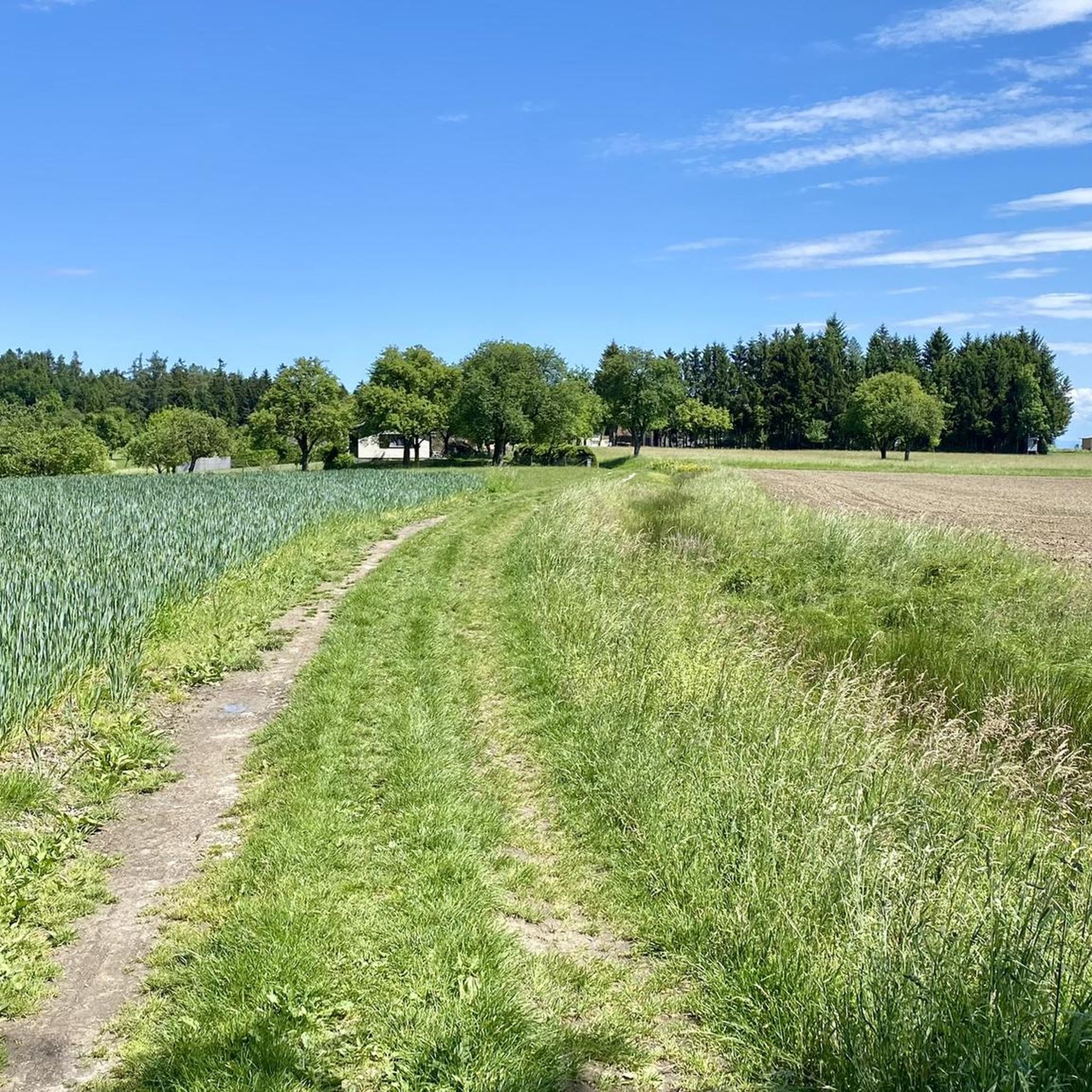
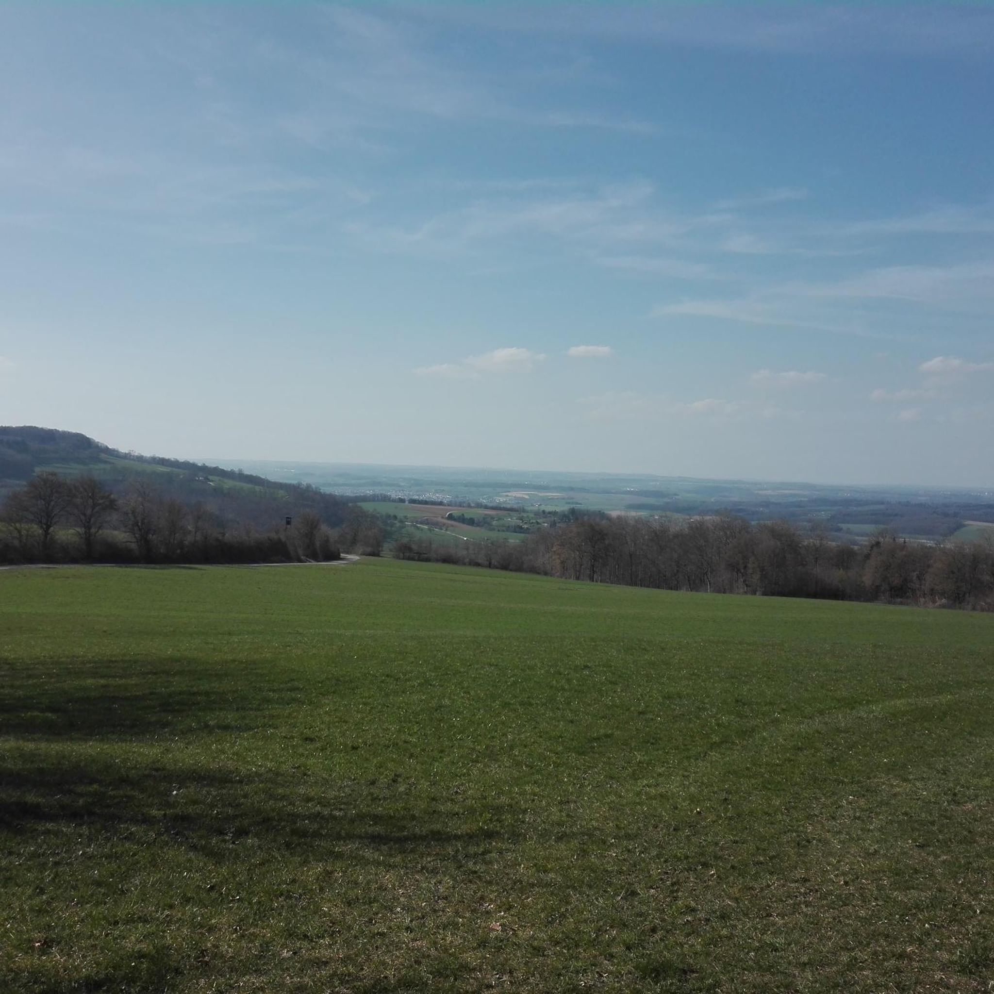
The hiking trails in Sankt Marienkirchen an der Polsenz are characterized by a predominantly rural and gently rolling hilly landscape. You'll find soft, undulating countryside with elevations ranging from 286 to 441 meters above sea level. Many routes also follow the scenic Polsenz Stream.
Are there any circular hiking routes available?
Yes, many of the hiking routes in Sankt Marienkirchen an der Polsenz are circular, allowing you to start and end at the same point. A popular example is the Mostmuseum St. Marienkirchen – Römerstein loop, a moderate 4.9-mile (8.0 km) path that takes approximately 2 hours 15 minutes.
What are some natural features or landmarks I can see while hiking?
The region offers several notable natural features and landmarks. You can hike along the scenic Polsenz Stream or visit the Mayrhofberg Observation Tower, which, at 655 meters, provides panoramic views. The Botanica Park also offers a pleasant environment for walks.
Are there any family-friendly hiking options?
Absolutely. The gentle terrain and numerous easy routes make Sankt Marienkirchen an der Polsenz very family-friendly. Many paths are well-maintained and suitable for all ages. Consider the Mostmuseum St. Marienkirchen – Polsenz loop, an easy 4.0-mile (6.5 km) trail that takes about 1 hour 49 minutes.
What do other hikers enjoy most about hiking in Sankt Marienkirchen an der Polsenz?
The komoot community highly rates the hiking experience in Sankt Marienkirchen an der Polsenz, with an average score of 4.5 stars from over 900 reviews. Hikers often praise the region's gently rolling hills, the scenic Polsenz Stream, and the well-maintained rural paths that offer a peaceful outdoor experience.
Are there any viewpoints along the hiking trails?
Yes, for impressive views, you can hike towards the Mayrhofberg Observation Tower. At 655 meters, it's the highest point in the Eferding and Grieskirchen districts, offering extensive panoramic vistas of the surrounding Upper Austrian landscape. Another route, the Mostmuseum St. Marienkirchen – View of the Kalkalpen loop, is specifically designed to offer scenic outlooks.
Can I find places to eat or relax near the hiking trails?
Yes, Sankt Marienkirchen an der Polsenz offers options for refreshments. The Gasthaus Schober on Archenberg is a highlight in the area. Additionally, the Brandstatt Danube Harbor and Lake provides a picturesque spot with benches and guest gardens, perfect for a break after your hike.
Is there parking available at the trailheads?
Given the rural nature of Sankt Marienkirchen an der Polsenz, many trailheads, especially those starting from central points like the Mostmuseum, offer convenient parking facilities. It's generally easy to find accessible starting points for your hikes.
What is the best time of year to go hiking in Sankt Marienkirchen an der Polsenz?
The region is enjoyable for hiking throughout much of the year. Spring and autumn offer pleasant temperatures and beautiful scenery with blooming nature or vibrant fall colors. Summer is also great, though it can be warmer. Even in winter, the gently rolling landscape can be suitable for walks, depending on snow conditions.
Most popular routes around Sankt Marienkirchen an der Polsenz
Most popular attractions around Sankt Marienkirchen an der Polsenz

Get inspired with the komoot mobile app


Explore more
Browse the best Hikes in other regions.
