The best MTB trails around Vilminore Di Scalve
4.2
(671)
3,282
riders
85
rides
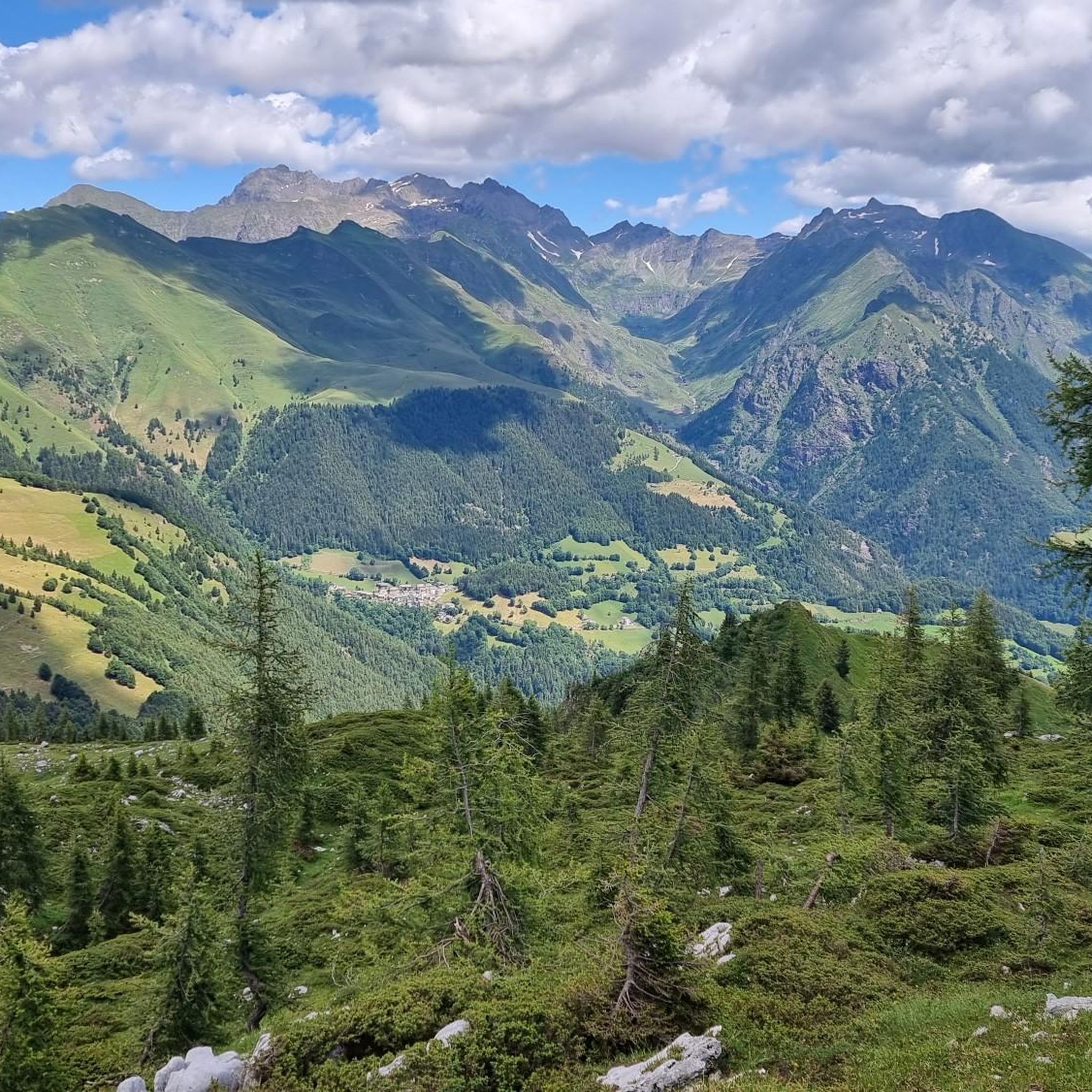
Mountain biking around Vilminore Di Scalve features a landscape characterized by significant elevation changes, mountain passes, and high-altitude huts. The region offers a mix of challenging climbs and descents, with routes often traversing varied terrain including gravel roads. This area, part of the Scalve Valley, provides a mountainous backdrop for mountain bike trails.
Best mountain bike trails around Vilminore Di Scalve
- The most popular mountain bike trail is Beautiful gravel road – San Fermo Hut loop from Azzone, a…
Last updated: October 9, 2026
4.6
(40)
173
riders
30.3km
02:51
960m
960m
Hard mountain bike ride. Very good fitness required. Advanced riding skills necessary. Some portions of the route may require you to push your bike.
4.8
(16)
100
riders
31.3km
03:51
1,450m
1,450m
Hard mountain bike ride. Very good fitness required. Advanced riding skills necessary.

4.6
(18)
46
riders
56.6km
04:37
1,440m
1,440m
Hard mountain bike ride. Very good fitness required. Suitable for all skill levels.
5.0
(24)
62
riders
43.5km
04:28
1,570m
1,570m
Hard mountain bike ride. Very good fitness required. Advanced riding skills necessary.
4.7
(12)
40
riders
43.2km
03:18
980m
980m
Hard mountain bike ride. Very good fitness required. Suitable for all skill levels.
Get access to more routes and recommendations from other explorers.
Already have an account?
Our route recommendations are based on thousands of hikes, rides, and runs completed by other people on komoot.
Start today with a free account
Your next adventure awaits.
Popular around Vilminore Di Scalve

Path of the Iron Woods in Northern Italy – Via Decia
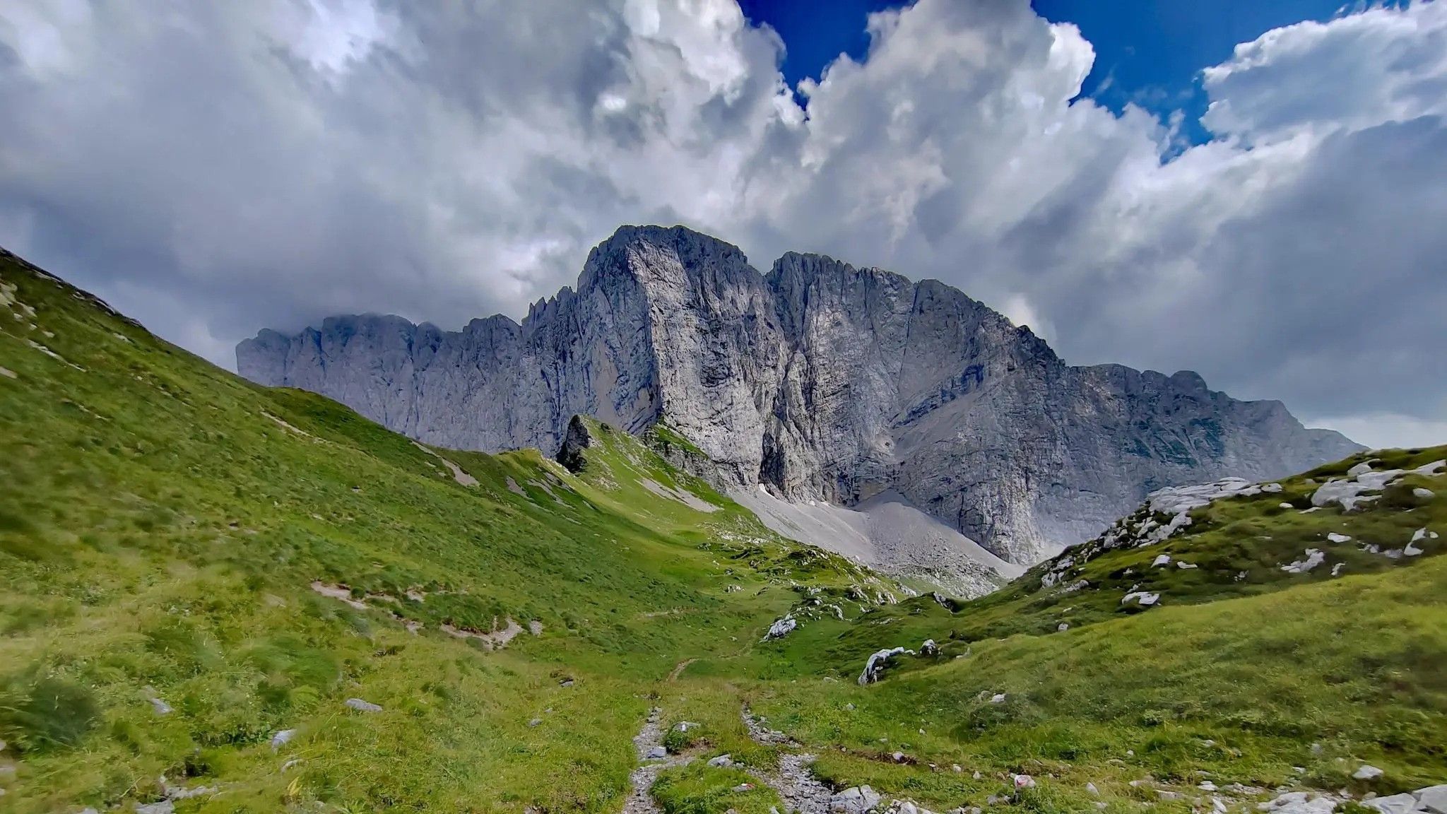
Trekking in val di Scalve – among the Piccoli Dolomiti Bergamasche
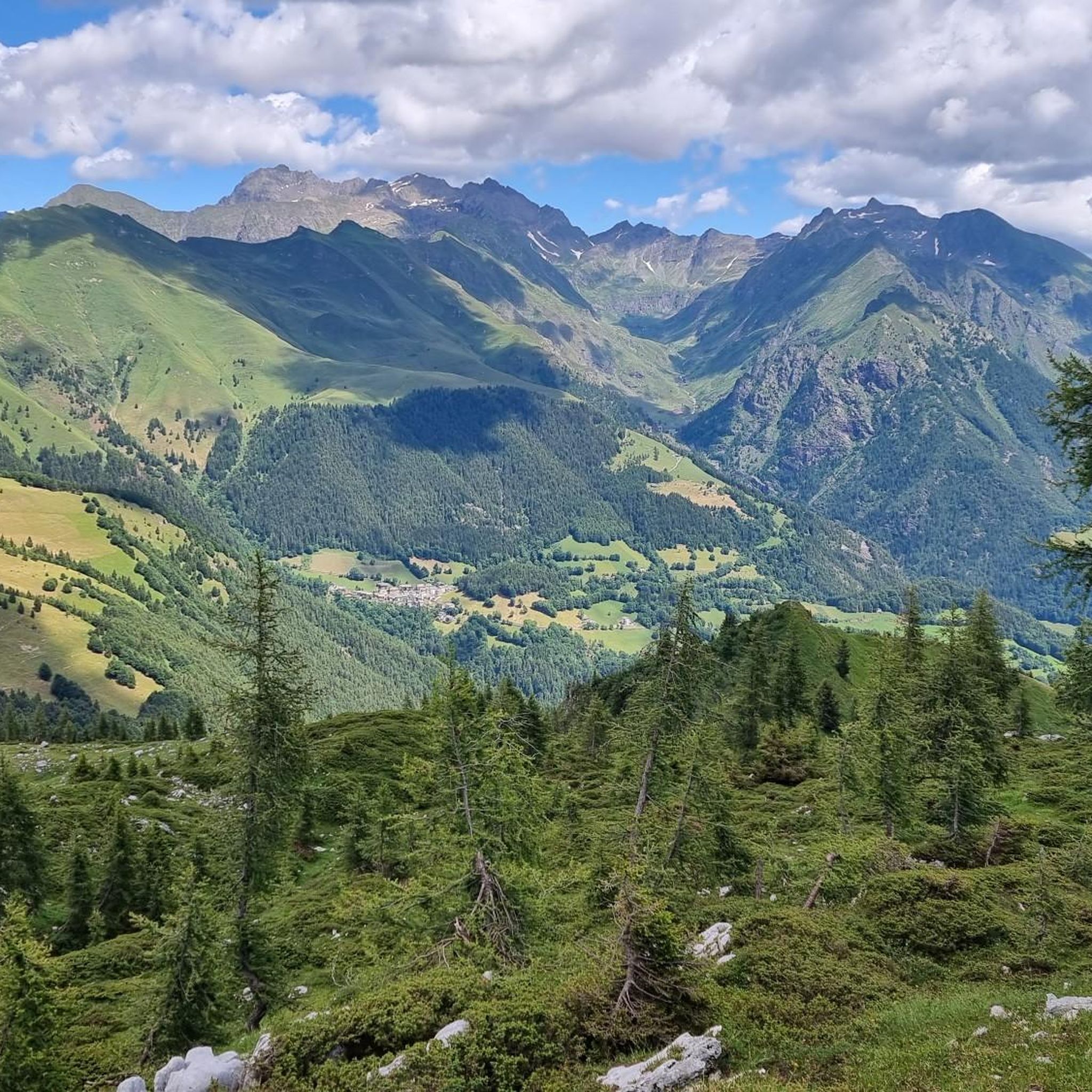
Hiking around Vilminore Di Scalve
Road Cycling Routes around Vilminore Di Scalve
Cycling around Vilminore Di Scalve
Running Trails around Vilminore Di Scalve

Mountain Hikes around Vilminore Di Scalve

Gravel biking around Vilminore Di Scalve

Tips from the Community

Very kind and friendly staff
0
0

View overlooking Lake Iseo and the Camonica Valley
0
0

It is a grassy saddle located on the ridge of the Costone, just above the Croce del Costone and before the terrain becomes rockier towards the Pale di San Fermo. It is a transit point, not a summit, but it is very scenic and represents an important junction for various itineraries.
0
0
The Cimon della Bagozza Refuge is located at 1,600 meters above sea level in the beautiful Conca dei Campelli, in the municipality of Schilpario (BG), in the Scalve Valley. It is an ideal destination for hikers, families, and snowshoers, nestled in the so-called "Little Bergamo Dolomites." 🏡 Main Information Management: Cimon della Bagozza Alpine Group – Manager Silvio Visini Phone: 0346 56300 Email: rifugiobagozza@hotmail.it Altitude: 1,600 m Beds: approximately 50 (35 indoors) Cuisine: Traditional Bergamo cuisine – the "Polenta e quel che c'è" menu is famous Open all year round Pets allowed 🥾 How to get there From Fondi di Schilpario: approximately 1 hour on foot, elevation gain +350 m By car: In summer, you can get very close to the refuge by parking in Cimalbosco Trails: CAI 419 and 428, also ideal for families and beginners ❄️ In winter The refuge is open even in the snow and is a perfect destination For: Snowshoeing Hiking with crampons Family weekend in the snow Always check the avalanche bulletin (ARPA Lombardia) before leaving 🌄 What to see nearby Lake Campelli Madonnina dei Campelli Mount Campioncino Don Giulio Corini Bivouac Cimon della Bagozza (2,407 m) – for experienced hikers
0
0
The Conca dei Campelli is a splendid alpine area located in the Scalve Valley, in the province of Bergamo, bordering the Camonica Valley. It is a true natural jewel, perfect for hiking, snowshoeing, and relaxing days immersed in nature. 🏞️ Characteristics of the Conca dei Campelli Altitude: approximately 1,800–1,900 m Main access: from Schilpario, following the signs for the Vivione Pass and then the Campelli Pass View: surrounded by the Piccole Dolomiti Scalvine, with views of Cimon della Bagozza Points of interest: Rifugio Campione: excellent refreshment point and base for hikes Laghetto dei Campelli: small alpine lake, ideal for a break Madonnina dei Campelli: panoramic and spiritual point 🌿 Recommended activities Summer hiking: trails also suitable for families and children Winter snowshoeing: breathtaking snow-covered landscapes, ideal for snow lovers
0
0
The Campelli Pass is an Alpine pass at approximately 1,892 meters above sea level that connects the Scalve Valley (province of Bergamo) with the Camonica Valley (province of Brescia). It is a popular hiking destination for its scenic beauty and the variety of available itineraries. 🏔️ Main Features Location: Between Schilpario (BG) and Cerveno (BS) Elevation: approximately 1,892 m View: Spectacular view of Cimon della Bagozza and the Piccole Dolomiti Scalvine Access: From Schilpario – Fondi: winter route for snowshoeing or ski mountaineering From Schilpario – Baracca Rossa: shorter and more scenic summer route From Ono San Pietro (BS): longer and more challenging route 🚶♂️ Recommended Activities Summer Hiking: Well-marked trails, also suitable for families Winter Snowshoeing: Safe and picturesque itineraries in the snow Mountain Biking: Technical and scenic routes, with stops at the Campione Refuge and Campelli Lake 📍 Nearby Points of Interest Campione Refuge: Not far from the pass, offers refreshments and overnight accommodations Campelli Lake Campelli: a small Alpine lake, ideal for a break Madonnina dei Campelli: a panoramic and spiritual point along the route
0
0

Fourth stanza of a poetic composition dating back to the first half of the 17th century, dedicated to Saint Albert of Villa d'Ogna: "A hundred years or so after that glorious Death of the blessed Albert the Abbot Another arose, equally famous If not for status, at least for pleasing deeds. He was humble, devout and generous, In his holy and honored actions That he deserved to be called by Christ In his Kingdom of heaven holy and blessed."
6
0
Picnic area about halfway through the Val di Scalve Forest, which goes from the Passo della Presolana to Colle Vareno. From this location, several hiking trails wind through the Val di Scalve Forest, also heading to Angolo, and the Carbonai trail that goes up to Scanapà.
6
0
Frequently Asked Questions
What is the general difficulty level of mountain biking in Vilminore Di Scalve?
Mountain biking in Vilminore Di Scalve is predominantly challenging, with 53 out of 81 available routes rated as difficult. There are also 27 moderate trails and 1 easy route, offering options for various skill levels, but the region is best known for its demanding terrain.
Are there any mountain bike trails suitable for beginners in Vilminore Di Scalve?
While the region is known for its challenging terrain, there is at least one easy mountain bike trail available in Vilminore Di Scalve. For specific recommendations, it's best to filter routes by difficulty on komoot to find the most suitable option for beginners.
Where can I find challenging mountain bike routes in Vilminore Di Scalve?
Vilminore Di Scalve offers numerous challenging mountain bike routes, with 53 trails rated as difficult. For an intense experience, consider the Madonnina dei Campelli – Descent from Passo Campelli loop from Azzone, which covers 58.4 km with over 1700 meters of elevation gain. Another demanding option is the Rifugio Passo del Vivione loop from Azzone, a 51.8 km route with significant climbs.
Are there many loop mountain bike trails available in the area?
Yes, many mountain bike routes in Vilminore Di Scalve are designed as loops, allowing you to start and finish at the same point. This is a common feature of the trails in the region, providing convenient exploration of the mountainous landscape.
What natural attractions or viewpoints can I explore while mountain biking?
The region around Vilminore Di Scalve is rich in natural attractions. You can explore gorges and caves, such as the Pagani Cave or the unique Giant's Kettles of Valzurio. The Sanguigno Valley also offers scenic views, and you might encounter the Val Belviso and Lake Belviso on some routes.
When is the best time of year for mountain biking in Vilminore Di Scalve?
The best time for mountain biking in Vilminore Di Scalve is typically from late spring to early autumn (May to October). During these months, the weather is generally more stable, and mountain passes are clear of snow, offering optimal conditions for exploring the high-altitude trails.
What kind of terrain can I expect on the mountain bike trails?
You can expect varied terrain, including significant elevation changes, mountain passes, and high-altitude huts. Many routes traverse gravel roads, offering a mix of challenging climbs and descents through the mountainous backdrop of the Scalve Valley.
What do other mountain bikers enjoy most about mountain biking in Vilminore Di Scalve?
The area is highly rated by the komoot community, with an average score of 4.4 stars from over 400 reviews. Reviewers often praise the challenging climbs, the stunning mountain scenery, and the sense of accomplishment from reaching high-altitude huts and passes.
Are there any historical or geological points of interest along the trails?
Yes, the region has several interesting sites. You can find the Old Via Mala Road and Tunnels, which offer a glimpse into historical routes. There are also old mining sites like the Fluorite Mines Near Rifugio Albani and the Lupi Mine at the Piane di Lizzola, adding a historical dimension to your ride.
How many mountain bike trails are there in Vilminore Di Scalve?
There are over 80 mountain bike trails available in Vilminore Di Scalve, offering a wide range of options for different skill levels and preferences within the Scalve Valley.
Is winter mountain biking possible in Vilminore Di Scalve?
Winter mountain biking in Vilminore Di Scalve can be challenging due to snow and ice, especially at higher elevations and mountain passes. While some lower-altitude routes might be accessible, many trails become impassable. It's advisable to check local conditions and forecasts thoroughly if considering winter rides.
Most popular routes around Vilminore Di Scalve
Most popular attractions around Vilminore Di Scalve

Get inspired with the komoot mobile app


Explore more
Browse the best MTB trails in other regions.
