The best walks and hikes around Gottolengo
3.8
(15)
138
hikers
28
hikes
Hiking around Gottolengo, located in the Brescia province, offers routes primarily through flat agricultural plains and along local waterways. The landscape is characterized by open fields, small wooded areas, and riverine paths, providing accessible outdoor experiences. This region is ideal for those seeking gentle walks and an appreciation of the rural Italian countryside.
Best hiking trails around Gottolengo
- The most popular hiking route is Walking along the river of Gambara, a 7.5 miles (12.0 km) trail that takes 3…
Last updated: July 1, 2026
3.0
(1)
4
hikers
12.0km
03:03
30m
30m
Moderate hike. Good fitness required. Easily-accessible paths. Suitable for all skill levels.
10
hikers
8.28km
02:07
30m
30m
Moderate hike. Good fitness required. Easily-accessible paths. Suitable for all skill levels.

Sign up for free
3.0
(1)
7
hikers
5.96km
01:31
20m
20m
Easy hike. Great for any fitness level. Easily-accessible paths. Suitable for all skill levels.
4
hikers
Easy hike. Great for any fitness level. Easily-accessible paths. Suitable for all skill levels.
5.0
(1)
8
hikers
12.7km
03:13
30m
30m
Moderate hike. Good fitness required. Easily-accessible paths. Suitable for all skill levels.
Get access to more routes and recommendations from other explorers.
Sign up for free
Already have an account?
Our route recommendations are based on thousands of hikes, rides, and runs completed by other people on komoot.
Start today with a free account
Your next adventure awaits.
Login or Signup

Tips from the Community

equipped for picnics with bathroom
1
0

Church of the parish of Saints Peter and Paul of Gambara.
1
0
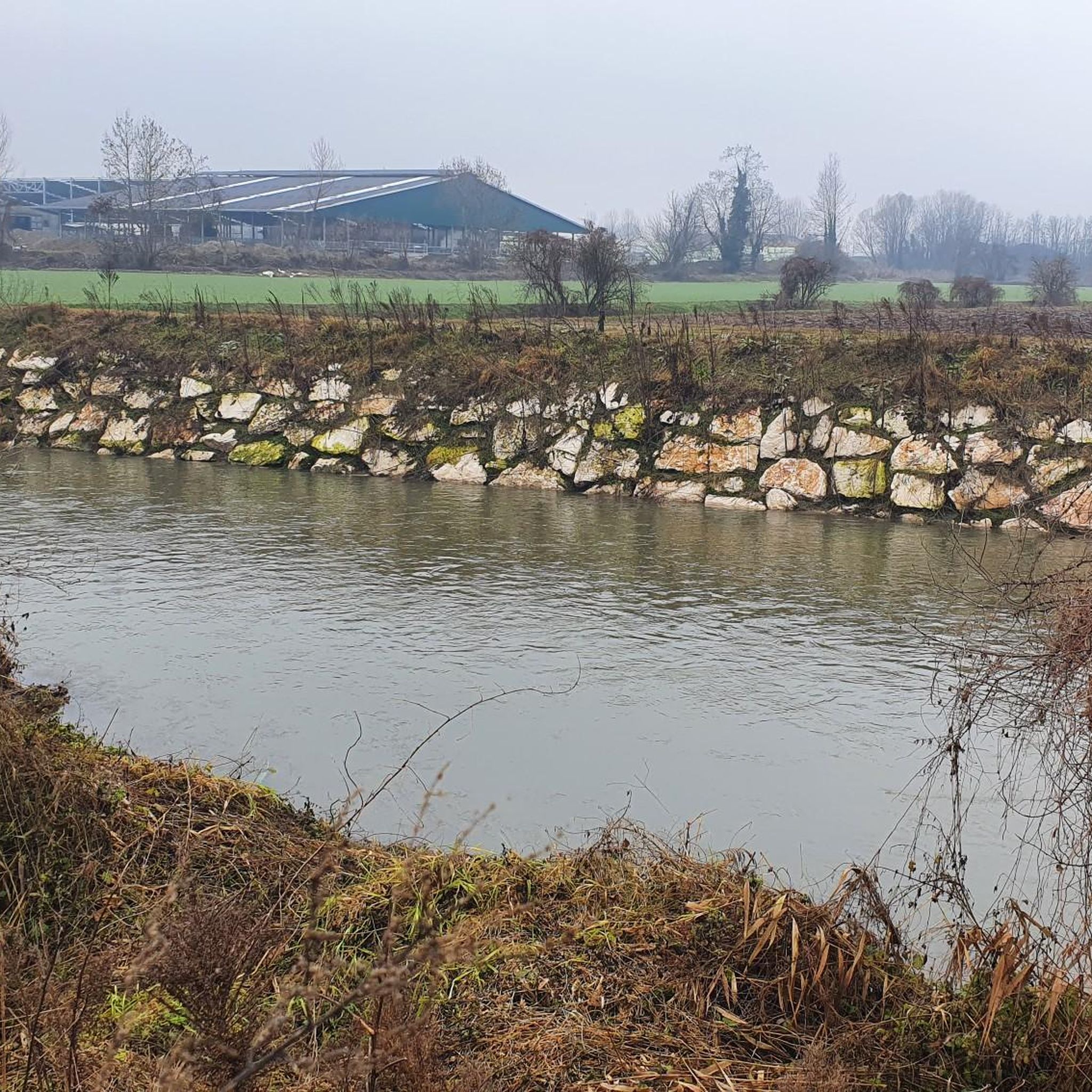
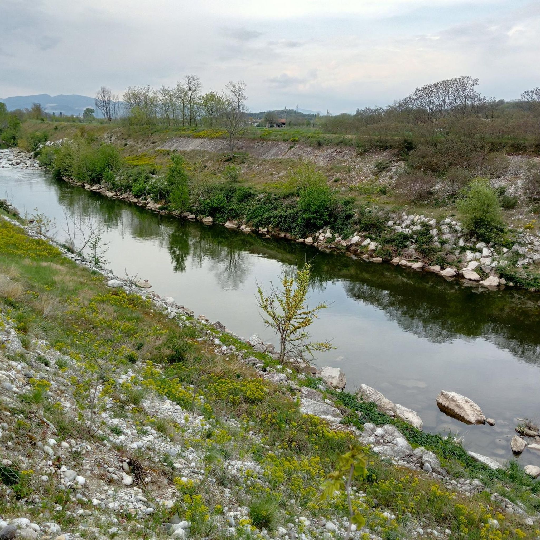
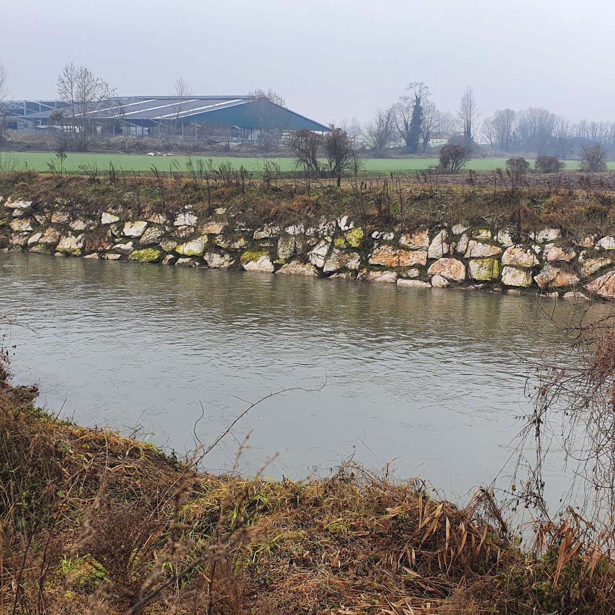
Splendid path that accompanies the Gambara stream.
1
0
Small characteristic church in the center of the village.
1
0

Very nice and quiet path along the Roggia Gàmbara, lined with trees to the left and right, it offers peace and relaxation ... also very easy to explore by bike
0
1
This is where the water of the Roggia Gàmbara is dammed up and then channeled into the irrigation channels in the area, if you like the noise and the movement of the water, this is the right place ... also easy to reach by bike
0
0
I don't know about this church 🤷♂️ but it's kind of beautiful 😀
1
1
I don't know anything about this church🤔, but it's kind of beautiful 😀
0
0
Frequently Asked Questions
How many hiking trails are available around Gottolengo?
There are 19 hiking trails around Gottolengo, offering a variety of experiences through the flat agricultural plains and along local waterways. These include 10 easy routes and 9 moderate routes.
What is the best time of year for hiking in Gottolengo?
The best time for hiking in Gottolengo is typically during spring (April-May) and autumn (September-October). During these seasons, the weather is mild and pleasant, ideal for exploring the open fields and riverine paths. Summer can be quite warm, and winter might bring colder, potentially muddy conditions.
Are there easy hiking trails suitable for beginners or families in Gottolengo?
Yes, Gottolengo is well-suited for beginners and families, with 10 easy hiking trails. These routes are generally flat, passing through agricultural landscapes and along rivers, making them accessible for various fitness levels. An example is the Bosco del Lusignolo loop from San Gervasio Bresciano, which is 4.7 miles (7.5 km) long and leads through a small wooded area.
Are there any circular hiking routes in Gottolengo?
Yes, several routes around Gottolengo are circular, allowing you to start and end at the same point. Popular options include the Hiking loop from San Gervasio Bresciano and the Bosco del Lusignolo loop from San Gervasio Bresciano. Another option is the Pieve di Comella loop from Pralboino.
Can I hike with my dog on the trails in Gottolengo?
Generally, dogs are welcome on the hiking trails around Gottolengo, especially on the rural paths through agricultural areas and along waterways. It's always recommended to keep your dog on a leash, especially near farmlands or in more populated areas, and to carry waste bags to clean up after them.
Are there any longer hiking options for experienced hikers?
While Gottolengo's terrain is predominantly flat, there are moderate routes that offer a longer experience. The longest route is Walking along the river of Gambara, which is 7.5 miles (12.0 km) and takes approximately 3 hours to complete, providing a good option for a more extended walk.
What kind of scenery can I expect on the trails around Gottolengo?
The trails around Gottolengo offer a tranquil rural Italian landscape. You can expect to see vast agricultural plains, small wooded sections, and paths winding alongside local waterways like the Gambara river. The scenery is characterized by open spaces and a peaceful countryside atmosphere.
Are there any interesting landmarks or attractions along the hiking routes?
Yes, some routes pass by or are near interesting points. For instance, you might encounter the Chiesa di Comella or the small wooded area of Bosco del Lusignolo. The region also features historical structures like the Gazzo Castle - Scandalora Ripa d'Oglio (CR) and the Gambara Palace and Pralboino Castle, which can be explored as part of your visit to the area.
What do other hikers enjoy most about the trails in Gottolengo?
The trails in Gottolengo are highly rated by the komoot community, with an average score of 3.7 stars. Hikers often praise the peaceful, flat terrain, which is ideal for relaxed walks, and the opportunity to experience the authentic rural Italian countryside away from crowded areas.
Is public transport available to access hiking trailheads in Gottolengo?
Public transport options directly to specific trailheads might be limited in this rural area. It's advisable to check local bus schedules for connections to Gottolengo or nearby towns like San Gervasio Bresciano or Pralboino, from which many trails originate. Driving and parking are generally the most convenient ways to access the starting points.
Are there designated parking areas at the trailheads?
While specific designated trailhead parking might not always be present in this rural region, you can typically find parking in the villages where many routes begin, such as Gottolengo, San Gervasio Bresciano, or Pralboino. Look for public parking spaces within these towns, often near churches or town squares.
Are there any trails that follow rivers or canals?
Yes, the region is known for its waterways. The most popular route, Walking along the river of Gambara, directly follows the course of the Gambara river, offering tranquil views. Another option is the Trail on the Roggia Gambara loop from Gambara, which also explores paths alongside the Roggia Gambara.
Most popular routes around Gottolengo
Most popular attractions around Gottolengo

Get inspired with the komoot mobile app


Explore more
Browse the best Hikes in other regions.
