The best walks and hikes around Manerbio
4.3
(90)
809
hikers
84
hikes
Hiking around Manerbio offers access to diverse natural landscapes within the Lombardy region of northern Italy. The area is characterized by agricultural plains, gentle hills like Monte Netto, and the presence of the Mella and Oglio rivers. These features provide a variety of terrains suitable for walking and hiking, from flat riverside paths to slightly elevated agricultural park trails. The province of Brescia, where Manerbio is located, is known for its natural beauty, including river ecosystems and rolling hills.
Best hiking trails around Manerbio
- The most popular hiking route is Hiking loop from Offlaga, a 3.3 miles (5.3 km) trail that takes 1 hour 19 minutes to complete, offering views of the local agricultural landscape.
- Another top favourite among local hikers is Ancient Brick Well loop from Cignano, an easy 4.0 miles (6.4 km) path. This route features flat terrain and passes by historical agricultural elements.
- Local hikers also love the Hiking loop from Verolanuova, a 6.0 miles (9.6 km) trail leading through agricultural areas and open countryside, often completed in about 2 hours 26 minutes.
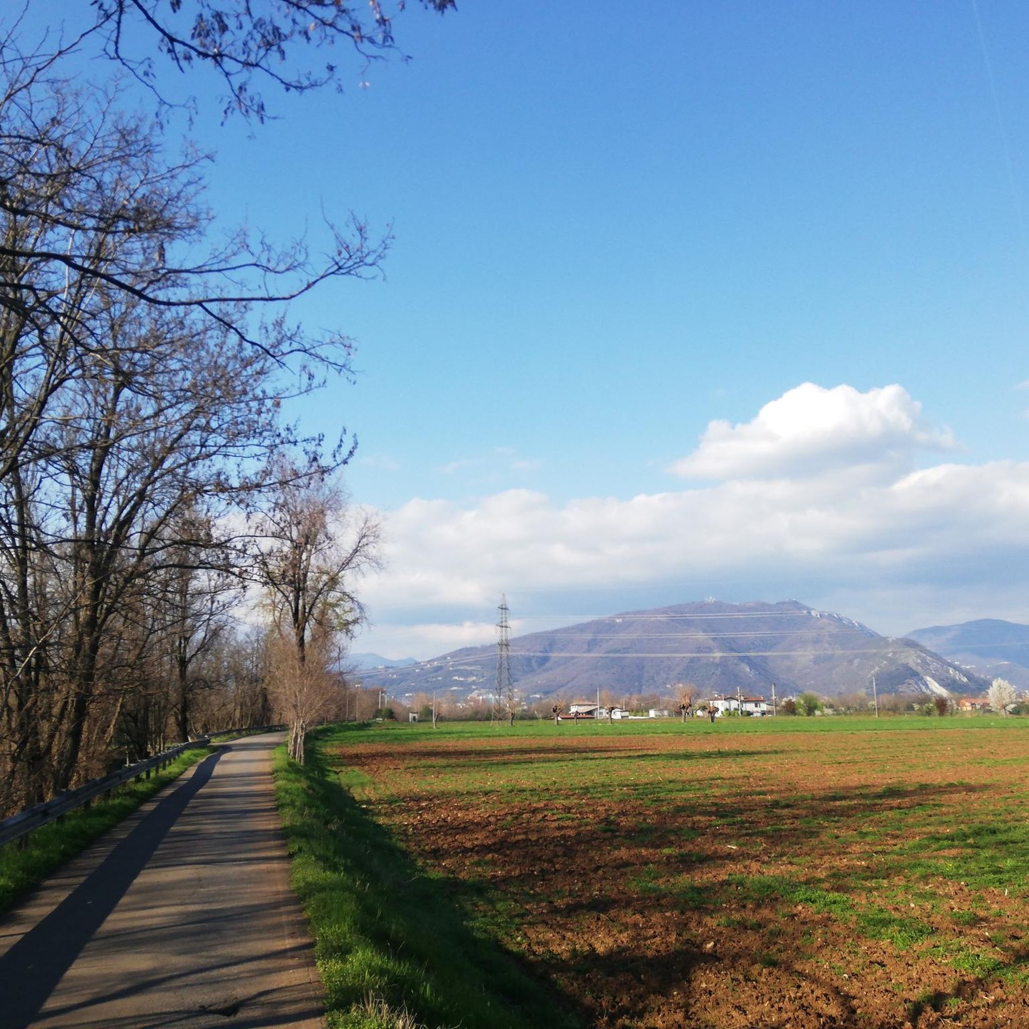
- Hiking around Manerbio is defined by its agricultural plains, the gentle hills of Monte Netto Regional Agricultural Park, and the tranquil paths along the Mella and Oglio rivers. The network offers options for different ability levels, from easy strolls to moderate hikes.
- The routes in Manerbio are highly rated by the komoot community with an average score of 4.3 stars from over 30 reviews. More than 300 hikers have used komoot to explore Manerbio's varied terrain.
Last updated: October 12, 2026
5.0
(3)
16
hikers
5.26km
01:19
10m
10m
Easy hike. Great for any fitness level. Easily-accessible paths. Suitable for all skill levels.
5.0
(3)
12
hikers
9.67km
02:28
30m
30m
Moderate hike. Good fitness required. Easily-accessible paths. Suitable for all skill levels.

3.5
(2)
18
hikers
10.7km
02:42
20m
20m
Moderate hike. Good fitness required. Easily-accessible paths. Suitable for all skill levels.
5.0
(1)
12
hikers
8.39km
02:07
10m
10m
Moderate hike. Good fitness required. Easily-accessible paths. Suitable for all skill levels.
3.5
(2)
11
hikers
6.27km
01:35
10m
10m
Easy hike. Great for any fitness level. Easily-accessible paths. Suitable for all skill levels.
Get access to more routes and recommendations from other explorers.
Already have an account?
Our route recommendations are based on thousands of hikes, rides, and runs completed by other people on komoot.
Start today with a free account
Your next adventure awaits.

Tips from the Community


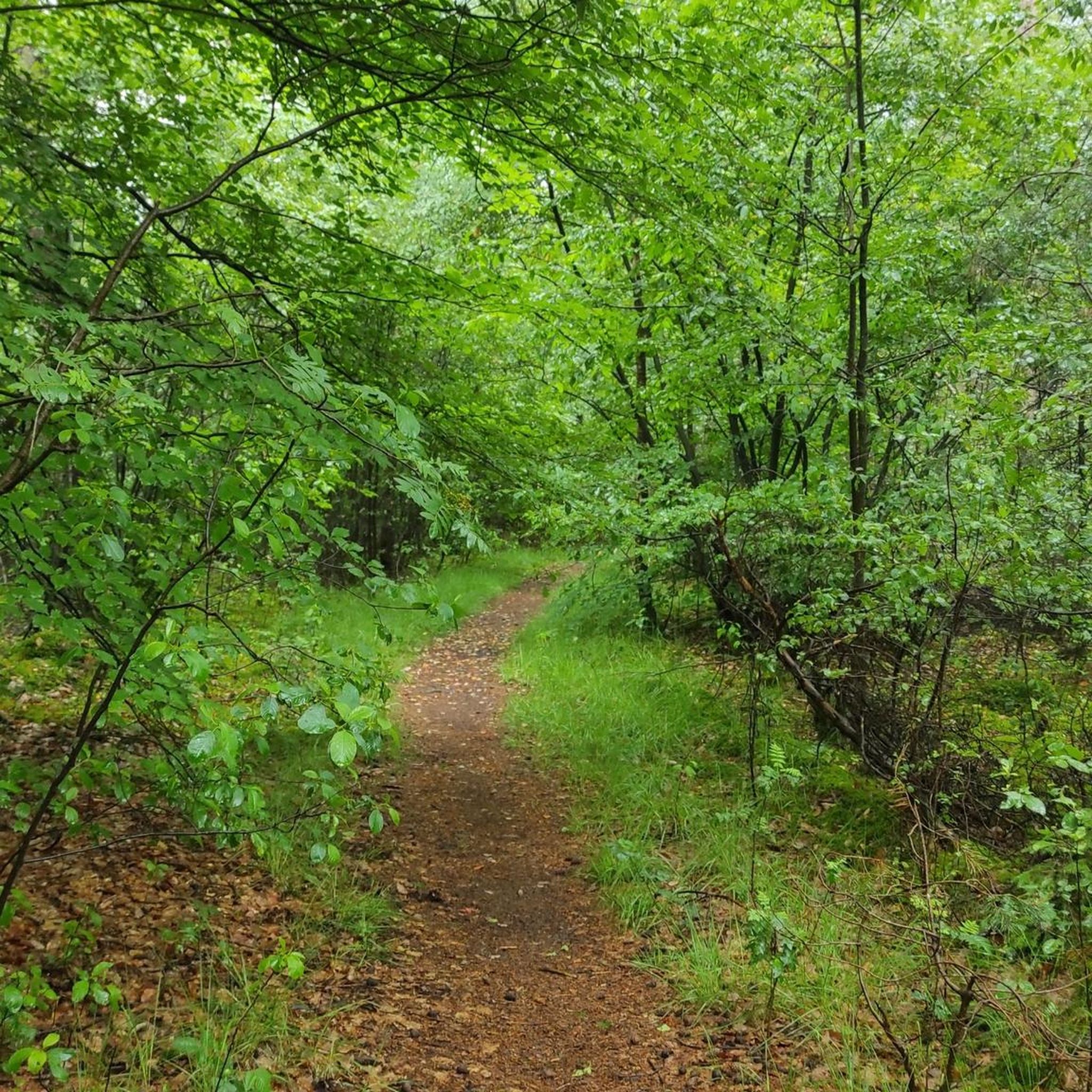
Pleasant dirt path surrounded by trees.
1
0

Free sparkling - natural - cold water point.
0
0

Prayer corner
0
0
Pleasant dirt path surrounded by trees.
0
0

The Strone river is a watercourse of only 18 km that winds between the hamlets of San Paolo, Verolanuova, Verolavecchia and Pontevico. Its park is an oasis of serenity where you can relax and sunbathe on the green meadows surrounded by leafy trees.
2
0

Well kept park. Always crowded with runners and cyclists. In the middle Park volunteers have headquarters for cafes if open. Possible picnic and water supply!
1
0
Frequently Asked Questions
How many hiking trails are available around Manerbio?
There are over 50 hiking and walking routes around Manerbio, catering to various preferences. These include a mix of easy strolls and moderate hikes, with 30 routes classified as easy and 25 as moderate.
What kind of terrain can I expect on hikes near Manerbio?
Hikes around Manerbio primarily feature agricultural plains, gentle hills, and tranquil riverside paths along the Mella and Oglio rivers. The terrain is generally flat to gently undulating, making it suitable for relaxed walks and moderate hikes.
Are there any family-friendly hiking options in Manerbio?
Yes, many trails around Manerbio are suitable for families. The paths along the Oglio River, for instance, offer gentle gradients ideal for walks with children. Routes like the Ancient Brick Well loop from Cignano are easy and feature flat terrain, perfect for a family outing.
Can I bring my dog on the hiking trails around Manerbio?
Most trails around Manerbio are dog-friendly, especially the riverside paths and routes through agricultural areas. It's always recommended to keep your dog on a leash and ensure you clean up after them to respect the local environment and other hikers.
What natural features or landmarks can I see while hiking near Manerbio?
You can explore diverse natural features such as the Monte Netto Regional Agricultural Park, which offers panoramic views and rich biodiversity. The Mella and Oglio rivers provide serene riverside scenery. Additionally, you might encounter historical agricultural elements like those on the Ancient Brick Well loop from Cignano. For specific points of interest, consider visiting Montenetto Park or the Oglio River near Pontevico.
Are there any circular hiking routes available?
Yes, many of the hiking routes around Manerbio are circular, offering convenient starting and ending points. Examples include the Hiking loop from Offlaga and the Hiking loop from Verolanuova, which allow you to return to your starting point without retracing your steps.
What is the best time of year to go hiking in Manerbio?
The best seasons for hiking around Manerbio are generally spring and autumn when the weather is mild and the natural landscapes are vibrant. Summer can also be pleasant, especially for early morning or late afternoon walks, while winter offers a different, often quieter, experience of the agricultural plains and riverside paths.
What do other hikers enjoy most about hiking in Manerbio?
The area is highly rated by the komoot community, with an average score of 4.3 stars from over 30 reviews. Hikers often praise the tranquil agricultural landscapes, the peaceful riverside paths, and the accessibility of the trails for various fitness levels.
Are there any historical sites or castles to explore near the hiking trails?
Yes, the region around Manerbio is dotted with historical sites. You can find several castles and historical buildings. Notable examples include Padernello Castle and Pontevico Castle. These can often be incorporated into a longer day out or visited after a hike.
Are there options for parking or public transport to access the trailheads?
While specific parking details for each trailhead vary, many routes around Manerbio are accessible by car, with parking often available in nearby villages or designated areas. Public transport options may be more limited, so checking local bus schedules for access to specific starting points is advisable.
Are there any easy hikes suitable for beginners?
Absolutely. Manerbio offers many easy routes perfect for beginners or those looking for a relaxed stroll. For example, the Ancient Brick Well loop from Cignano is an easy 6.4 km path with minimal elevation gain, ideal for a gentle introduction to hiking in the area.
What is the typical length and duration of hikes in Manerbio?
Hikes around Manerbio vary in length, with many routes ranging from 5 to 10 kilometers. An easy route like the Hiking loop from Offlaga is about 5.3 km and takes around 1 hour 20 minutes, while a moderate one such as the Hiking loop from Verolanuova covers 9.6 km and can take about 2 hours 30 minutes.
Most popular attractions around Manerbio

Get inspired with the komoot mobile app


Explore more
Browse the best Hikes in other regions.
