The best walks and hikes around Niardo
4.4
(1775)
13,197
hikers
426
hikes
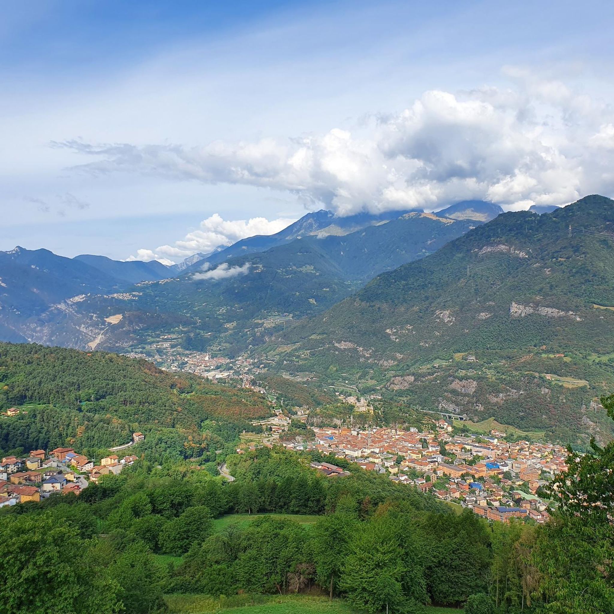
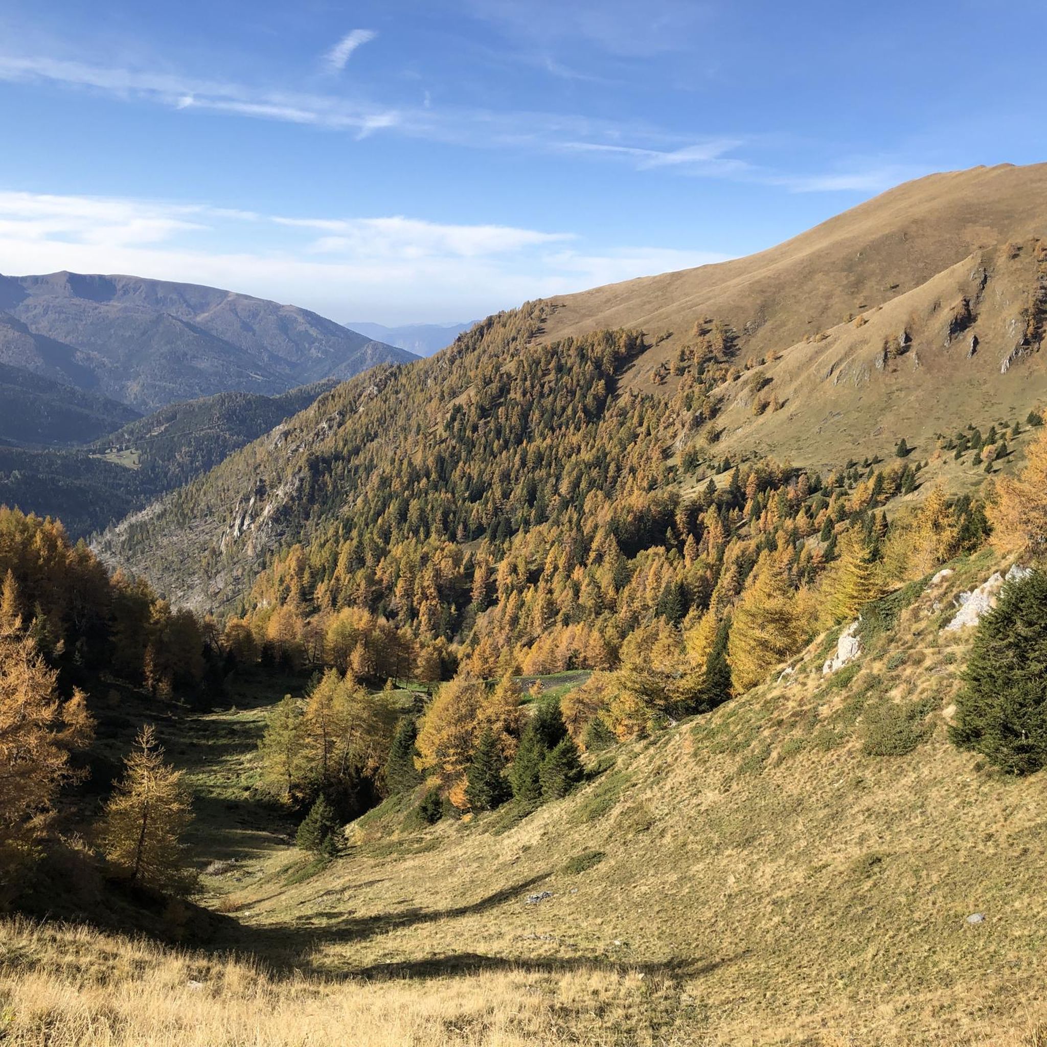
Hiking around Niardo is defined by its location within the Val Camonica and the Italian Alps, offering a diverse and rugged natural environment. The region features vast forests, rugged mountains, and is part of the expansive Adamello Regional Park. This area includes alpine lakes, waterfalls, and a network of paths that traverse varied terrain. Elevations range significantly, providing options from lower forest trails to high-alpine ascents.
Best hiking trails around Niardo
- The most popular hiking route is Alta Via dell'Adamello…
Last updated: June 25, 2026
4.0
(1)
1
hikers
8.46km
04:26
1,100m
1,100m
Alpine traverse to Monte Trabucco's summit cross with sweeping views across Lombardy peaks.
5.0
(2)
15
hikers
14.1km
03:53
230m
230m
Moderate hike. Good fitness required. Easily-accessible paths. Suitable for all skill levels.

Sign up for free
4.5
(2)
26
hikers
7.50km
01:57
50m
50m
Easy hike. Great for any fitness level. Easily-accessible paths. Suitable for all skill levels.
13
hikers
8.14km
03:12
590m
590m
Moderate hike. Good fitness required. Easily-accessible paths. Suitable for all skill levels.
11
hikers
5.01km
01:17
20m
20m
Easy hike. Great for any fitness level. Easily-accessible paths. Suitable for all skill levels.
Get access to more routes and recommendations from other explorers.
Sign up for free
Already have an account?
Our route recommendations are based on thousands of hikes, rides, and runs completed by other people on komoot.
Start today with a free account
Your next adventure awaits.
Login or Signup


Tips from the Community

By train to Edolo and then by bike up to Ponte di legno. The next day, departure in four stages to Mantua. Beautiful cycle path. Recommended
0
0

This pedestrian and cycle bridge allows you to safely cross the Oglio River while enjoying the view.
0
0

Beautiful passage on the Oglio river...
1
0
Easy passage with Castle view
1
0

Just above the giant bench of Breno, on the Via Valeriana you have an excellent view of the ancient village of Breno and its imposing castle, as well as the valley below.
2
0

The two mast steel structure supports the Oglio Bridge
0
0
Beautiful cycle path directly on the Oglio
1
0

normal place apart from 2 historic churches starting from the village cai rico fedriga path then provincial road x lozio and direction of vat ve via enel giyunty vat direction channel again of enel up to view of camina tub then resume cai path x village and return
0
0
Frequently Asked Questions
How many hiking trails are available around Niardo?
Niardo and its surroundings offer a vast network of trails. There are over 400 hiking routes available, ranging from easy forest loops to challenging high-alpine ascents within the Val Camonica and Adamello Regional Park.
What kind of landscapes can I expect to see while hiking near Niardo?
The region around Niardo is characterized by diverse and rugged natural beauty. You'll encounter extensive forests, dramatic mountainous terrain, picturesque alpine lakes, and refreshing waterfalls. The area is part of the Adamello Regional Park, which features varied ecosystems and elevations.
Are there any easy or family-friendly hiking options in Niardo?
Yes, while the region is known for its challenging alpine routes, there are also easier options. You can find over 70 easy trails and many moderate forest loops suitable for varying fitness levels and families. These paths often explore the lower elevations and wooded areas.
Can I find hikes that feature waterfalls around Niardo?
Absolutely. The area boasts several beautiful waterfalls. For example, you can explore trails that lead to the Valbona Stream Waterfall or the Valle Dasdana Stream and Waterfall. These natural features offer refreshing stops and scenic views.
What do other hikers enjoy most about the trails in Niardo?
Hikers consistently rate the trails around Niardo highly, with an average score of 4.5 stars from over 1,500 reviews. Many praise the diverse terrain, from serene forest paths to challenging mountain ascents, and the stunning natural beauty of the Val Camonica and Adamello Regional Park.
Are there any circular hiking routes available near Niardo?
Yes, the region offers several circular routes. An example of a challenging loop is the Climbing Monte Frerone and Corna Bianca in Valle Camonica — Ring tour, which takes you over two prominent peaks. There are also simpler forest loops, such as the Breno to San Martino Church forest loop, offering varied experiences.
What is the best time of year to go hiking in Niardo?
The best time for hiking in Niardo generally depends on the elevation. Lower forest trails are accessible for much of the year, while high-alpine routes are best enjoyed from late spring through early autumn (June to September) when snow has melted and weather conditions are more stable. Winter hiking is possible, especially on lower trails, but requires appropriate gear and awareness of conditions.
Are there mountain huts or refuges along the trails for resting or overnight stays?
Yes, the Adamello Regional Park is well-equipped with numerous mountain huts and refuges. These include Rifugio Tassara Bazena, Rifugio Tita Secchi, Giuseppe Garibaldi Mountain Hut, Malga Stain Hut, and Tonolini Refuge. They provide excellent resting points, and some offer overnight accommodation for multi-day treks.
What are some notable landmarks or points of interest to explore while hiking?
Beyond the natural beauty, you can discover historical and geological points of interest. The Val Camonica itself is a UNESCO World Heritage site known for its prehistoric rock carvings. Along the trails, you might encounter mountain passes like Campelli Pass or Passo Crocedomini, offering panoramic views. The Fontanazzo Bridge is another interesting feature.
Are there any challenging high-alpine routes for experienced hikers?
Yes, Niardo is an excellent base for challenging high-alpine adventures. The renowned Alta Via dell'Adamello offers demanding multi-day sections. Other difficult routes include ascents to peaks like Monte Frerone and Corna Bianca, providing significant elevation gain and rugged terrain.
Can I bring my dog on the hiking trails around Niardo?
Many trails in the Adamello Regional Park and Val Camonica are dog-friendly, allowing you to explore with your canine companion. However, it's always recommended to keep dogs on a leash, especially in protected areas, to protect wildlife and ensure a pleasant experience for all hikers. Check specific trail regulations if you plan to enter nature reserves.
Are there opportunities for long-distance or multi-day hikes?
Definitely. The extensive trail network, particularly within the Adamello Regional Park, supports long-distance and multi-day hikes. The Alta Via dell'Adamello is a prime example, covering 50 km and connecting numerous mountain huts for overnight stays, allowing for immersive multi-day trekking experiences.
Most popular routes around Niardo
Most popular attractions around Niardo

Get inspired with the komoot mobile app


Explore more
Browse the best Hikes in other regions.
