The best mountain hikes around Gera Lario
5.0
(2)
28
hikers
6
hikes
Mountaineering around Gera Lario is characterized by dramatic alpine scenery, with mountains rising directly from the shore of Lake Como. The region features prominent peaks like Monte Legnone and Monte Legnoncino, offering diverse terrain for ascents. This mountainous landscape includes rivers, streams, and forests, providing varied experiences for mountaineers.
Best mountaineering routes around Gera Lario
- The most popular mountaineering route is Monte Legnone Summit loop from Valvarrone, a 6.9 miles (11.2 km) trail that takes 7 hours 30 minutes to complete. This difficult route offers a challenging ascent to a prominent summit.
- Another top favourite among local mountaineers is View of Valtellina Valley loop from Montemezzo, a moderate 4.6 miles (7.4 km) path. This route provides expansive views of the Valtellina Valley and surrounding landscapes.
- Local mountaineers also love the Along the Shepherd's Path – Historic Village of Livo loop from Domaso, a 5.8 miles (9.3 km) trail leading through historic villages and natural paths, often completed in about 3 hours 23 minutes.
- Mountaineering around Gera Lario is defined by dramatic alpine views, prominent peaks, and diverse terrain including rivers and forests. The network offers options for different ability levels, from moderate ascents to challenging summit routes.
- The routes in Gera Lario are highly rated by the komoot community with an average score of 4.9 stars from over 30 reviews. More than 200 mountaineers have used komoot to explore Gera Lario's varied terrain.
Last updated: October 8, 2026
7
hikers
15.6km
05:13
640m
640m
Hard mountaineering route. Very good fitness required. Mostly accessible paths. Sure-footedness required.
5
hikers
10.6km
03:39
460m
460m
Moderate mountaineering route. Good fitness required. Mostly accessible paths. Sure-footedness required.

5.0
(1)
7
hikers
10.9km
04:52
870m
870m
Moderate mountaineering route. Good fitness required. Mostly accessible paths. Sure-footedness required.
5.0
(1)
5
hikers
12.3km
05:44
980m
980m
Hard mountaineering route. Very good fitness required. Mostly accessible paths. Sure-footedness required.
6
hikers
7.51km
03:34
630m
620m
Moderate mountaineering route. Good fitness required. Mostly accessible paths. Sure-footedness required.
Our route recommendations are based on thousands of hikes, rides, and runs completed by other people on komoot.
Start today with a free account
Your next adventure awaits.
Popular around Gera Lario
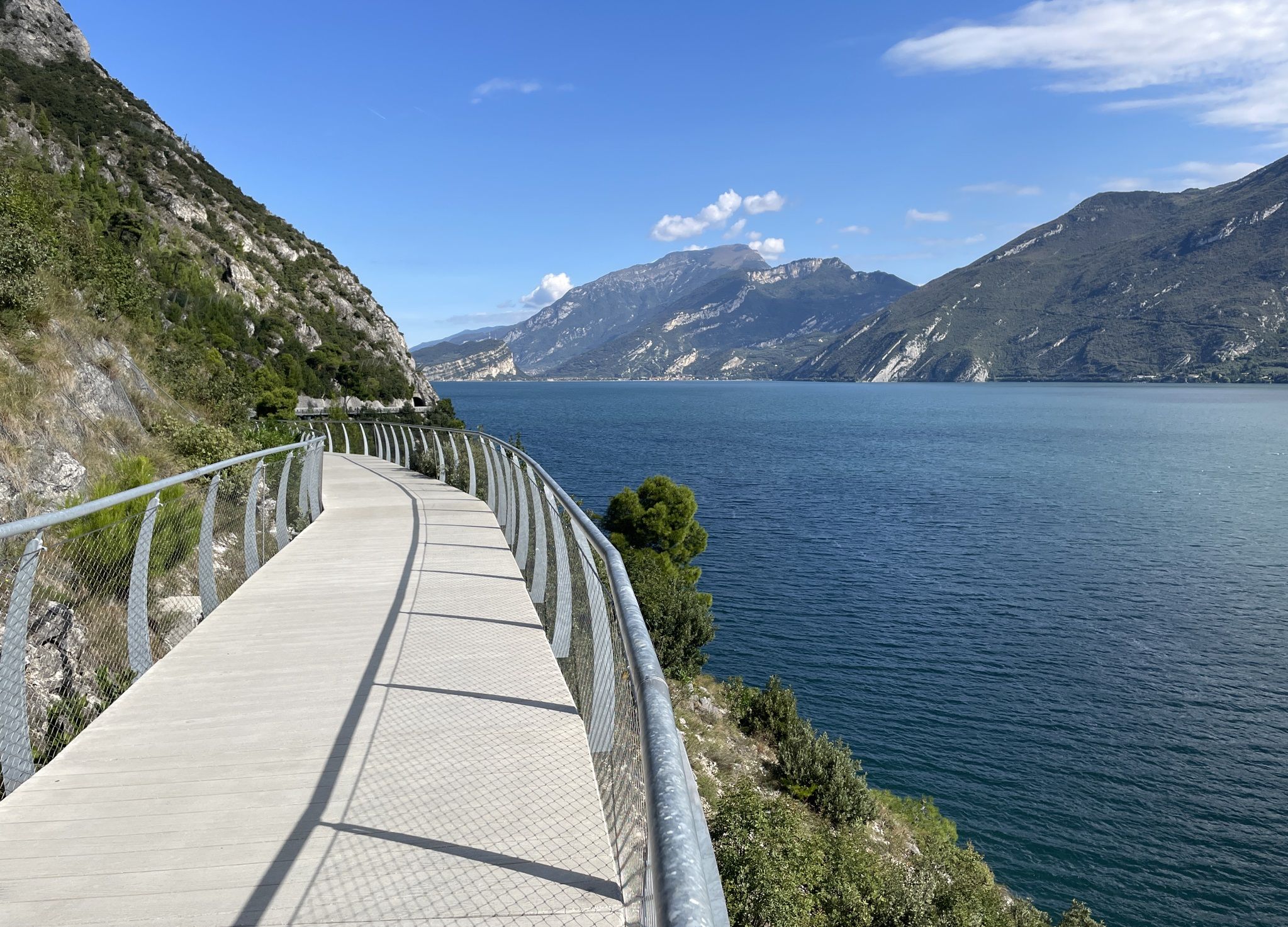
Mountains, plains, rivers and lakes — cycling in Italy’s Lombardy region
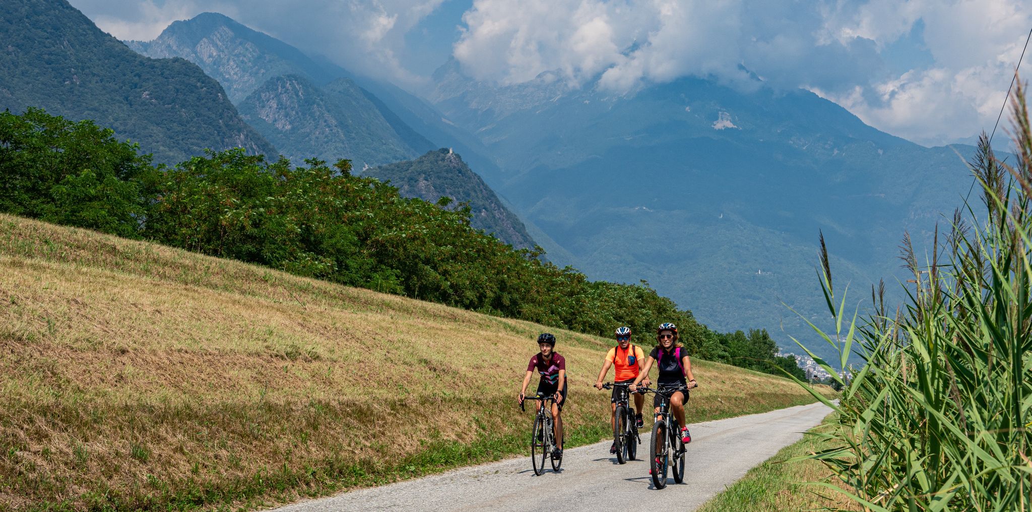
Borghi antichi, crotti e cascate – Ciclabile della Valchiavenna
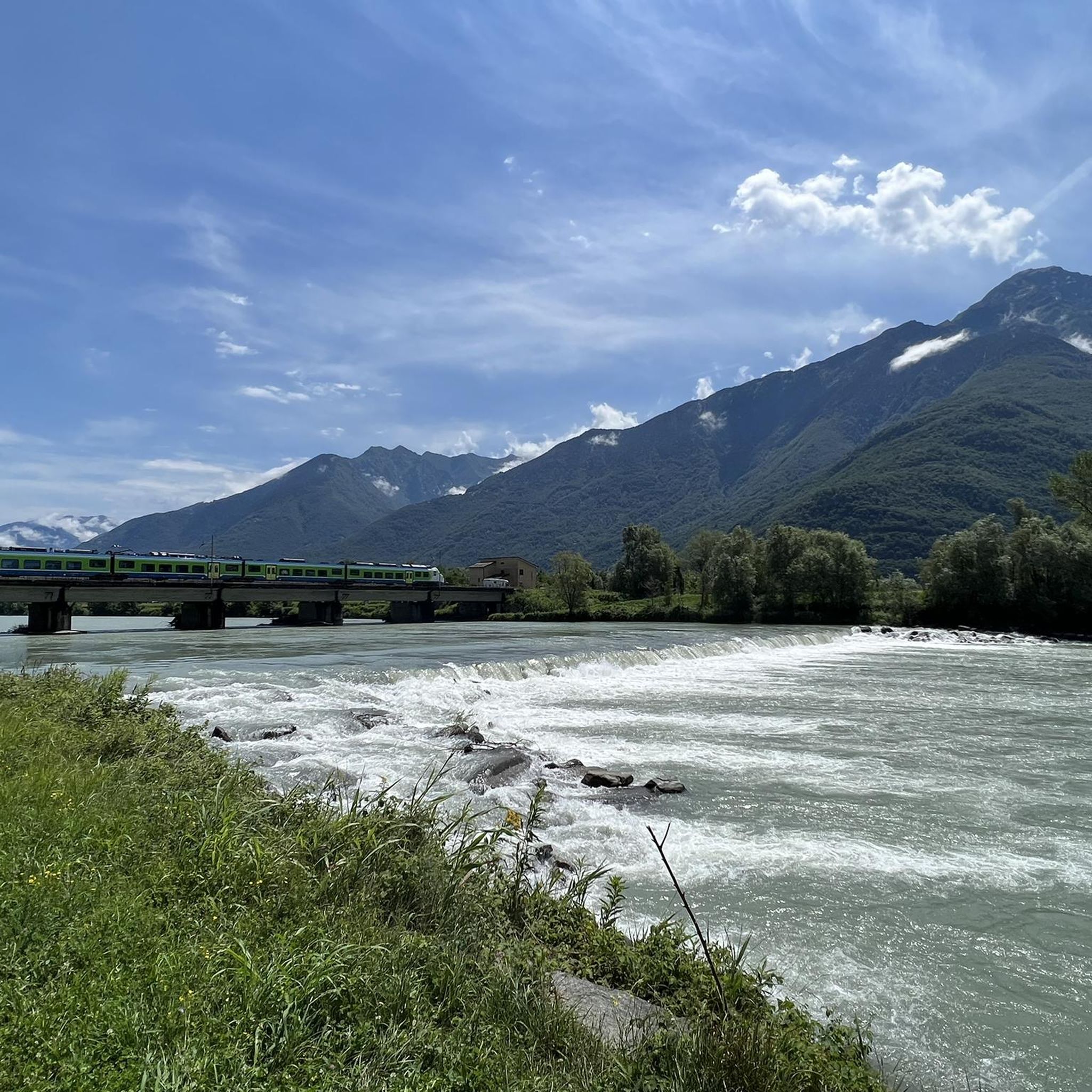
Road Cycling Routes around Gera Lario
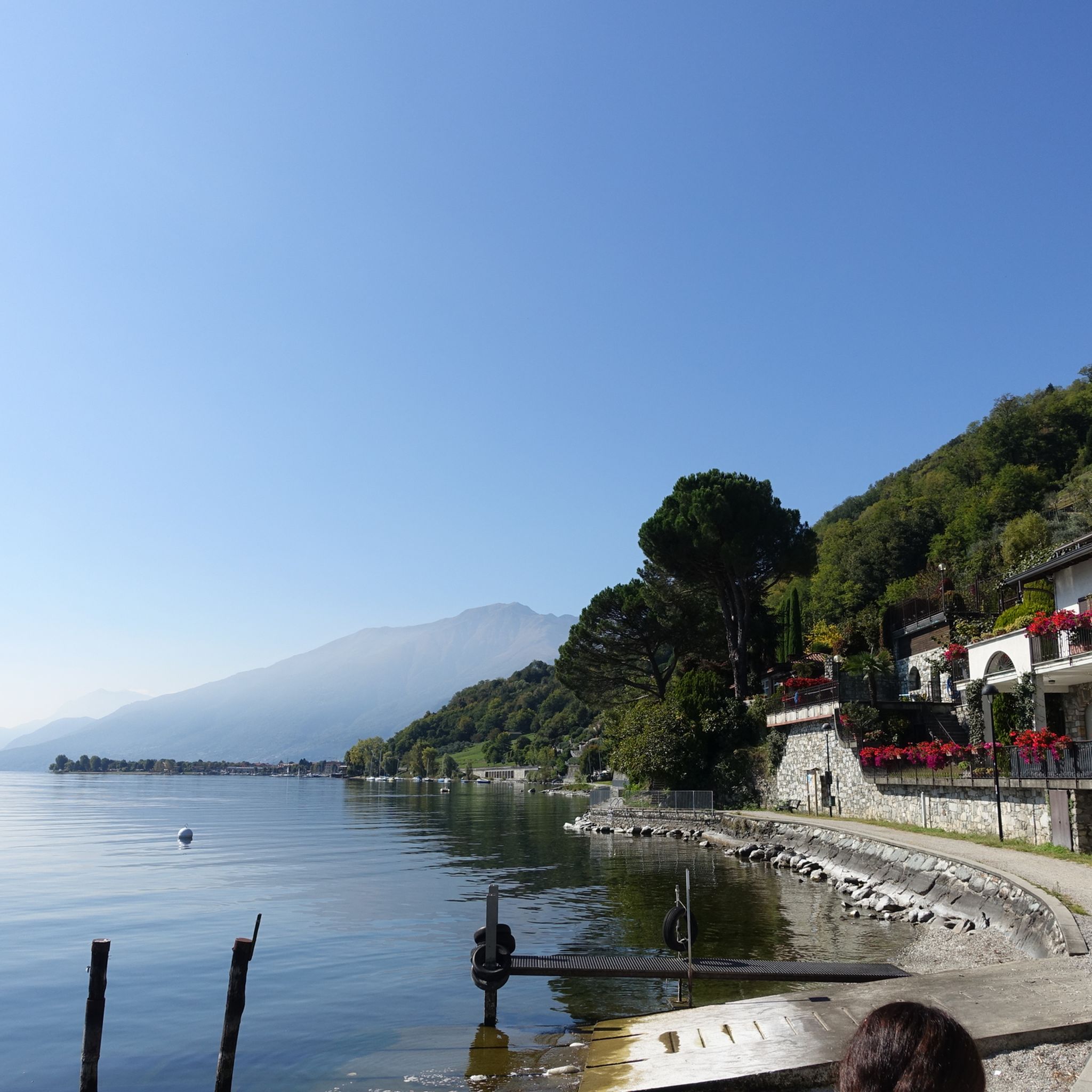
Hiking around Gera Lario
MTB Trails around Gera Lario
Running Trails around Gera Lario
Cycling around Gera Lario

Gravel biking around Gera Lario


Tips from the Community

Nice place for a break
0
0

Beautiful, very scenic
0
0

As of July 2026 The trail is walkable and rideable for approx. 5 km, and also permitted. After that, the path is closed, and you have to ride back the same way. But that doesn't matter. I found the route great.
1
0

The same church is located right next to the parking lot. From there, you have a breathtaking view of Lake Como.
0
0


Wonderful day, wonderful view
0
0
Frequently Asked Questions
How many mountaineering routes are available around Gera Lario?
There are 12 mountaineering routes documented around Gera Lario on komoot, offering a range of experiences from moderate ascents to challenging summit routes. Eight of these are rated moderate, and four are difficult.
What kind of terrain can I expect on mountaineering routes in Gera Lario?
Mountaineering routes in Gera Lario feature dramatic alpine scenery, with mountains rising directly from the shores of Lake Como. You'll encounter diverse terrain including forests, alpine meadows, rivers, and streams, leading to prominent peaks like Monte Legnone and Monte Legnoncino.
Are there any challenging routes for experienced mountaineers?
Yes, for experienced mountaineers, routes like the View of Sasso Bianco – Alpe di Mezzo loop from Montemezzo offer a significant challenge. This difficult route covers nearly 11 km with over 1100 meters of elevation gain, typically taking over 6 hours to complete.
What are the best routes for panoramic views of the region?
Many routes offer stunning views. For expansive vistas of the Valtellina Valley, consider the View of Valtellina Valley loop from Montemezzo. Another route, the Church of Saint Euphemia – View of Musso from Monte Corna loop from Dongo, provides excellent views towards Musso and Lake Como.
Are there any circular mountaineering routes in Gera Lario?
Yes, several routes are circular, allowing you to return to your starting point without retracing your steps. Examples include the Monte Legnone Summit loop from Valvarrone and the Along the Shepherd's Path – Historic Village of Livo loop from Domaso.
What are some points of interest or landmarks along the mountaineering routes?
Along the routes, you can discover various points of interest. For example, you might encounter historic villages, or reach viewpoints like Alpe di Mezzo. The region also features several mountain huts, such as Roccoli Lorla Hut and Silvestri Bivouac (Cà de Legn), Mount Legnone, which can serve as rest stops or destinations.
Are there any waterfalls to see on the mountaineering trails?
Yes, the mountainous landscape around Gera Lario includes several waterfalls. You can find highlights like the Waterfall on the Val Piana stream, the Waterfalls of the Valle Le Valene Stream, and the Waterfall at the Barrage Dam along various trails in the area.
What do other mountaineers say about the routes in Gera Lario?
The mountaineering routes in Gera Lario are highly rated by the komoot community, with an average score of 4.9 stars from over 30 reviews. Mountaineers often praise the dramatic alpine views and the diverse terrain, which includes rivers, streams, and forests.
What is the best time of year for mountaineering in Gera Lario?
The best time for mountaineering in Gera Lario is generally from late spring through early autumn (May to October), when the weather is more stable and the higher alpine paths are free of snow. Always check local weather conditions and trail status before heading out, especially for higher elevations.
Are there options for less strenuous mountain hikes in the area?
While the focus is on mountaineering, there are moderate routes that offer a less strenuous experience while still providing mountain scenery. The Along the Shepherd's Path – Historic Village of Livo loop from Domaso is a moderate option that takes you through historic villages and natural paths.
Most popular routes around Gera Lario
Most popular attractions around Gera Lario

Get inspired with the komoot mobile app


Explore more
Browse the best Mountain Hikes & Routes in other regions.
