The best walks and hikes around Samern
4.4
(7338)
29,177
hikers
25
hikes
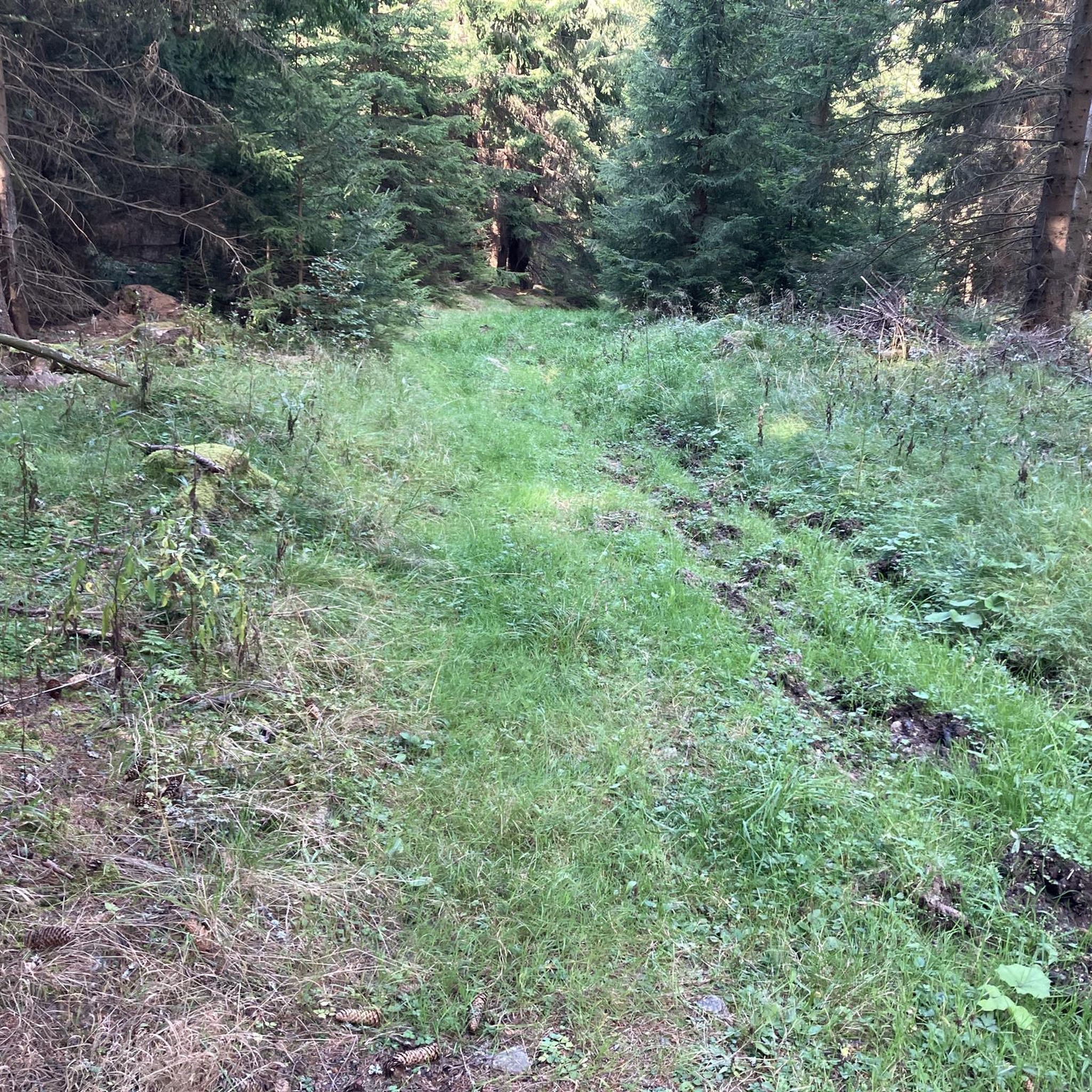
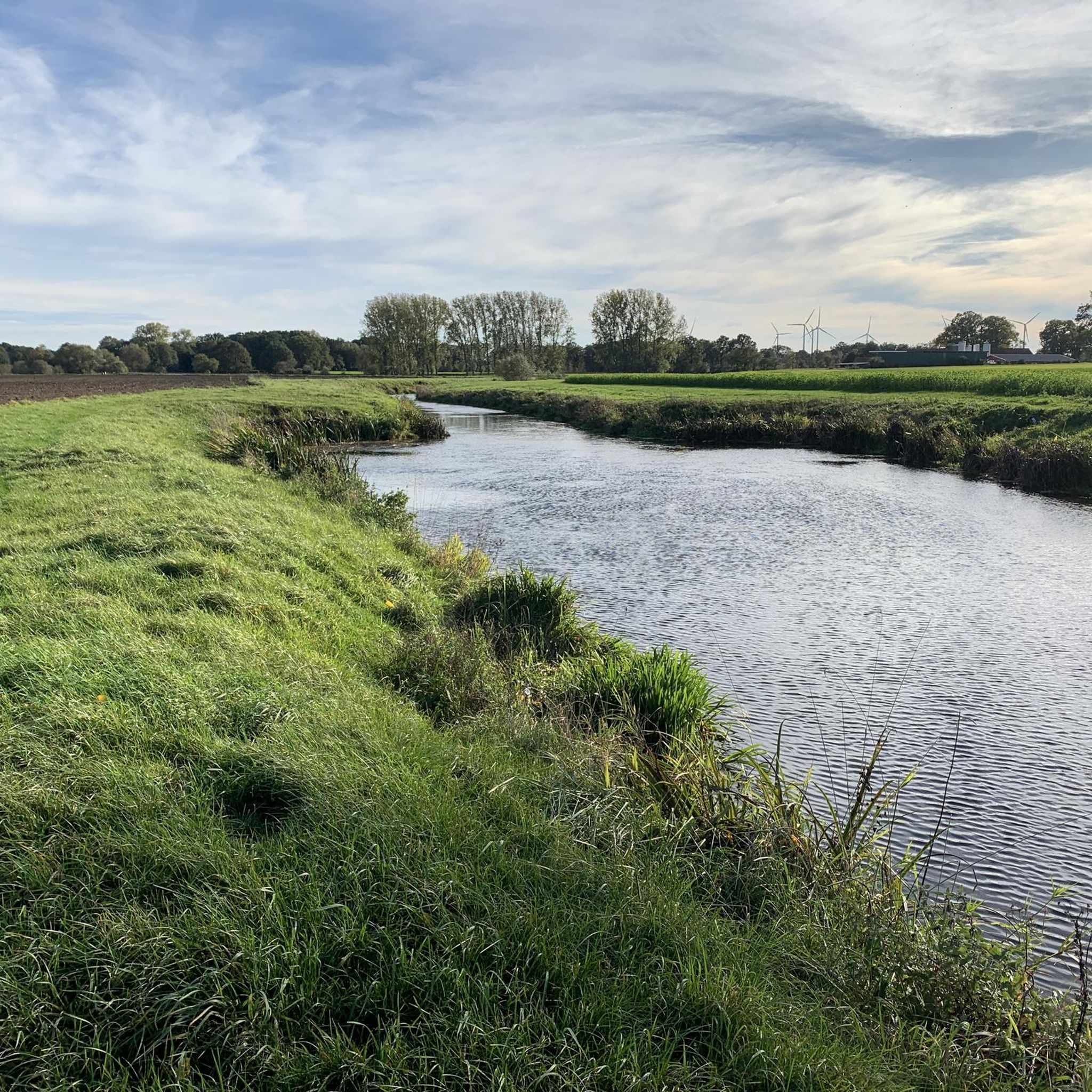
Hiking around Samern offers a tranquil rural environment characterized by expansive forests, open fields, and gentle rolling hills. The landscape is influenced by rivers such as the Vechte and Dinkel, providing opportunities for waterside walks. A significant natural feature is the Samerrott Forest, which includes historical elements like the "Rabenbaum." The region features "raumsichten" objects, which are clearings designed to appreciate the surrounding views.
Best hiking trails around Samern
- The most popular hiking route is View of the Forest –…
Last updated: August 13, 2026
4.4
(30)
101
hikers
6.27km
01:36
20m
20m
Easy hike. Great for any fitness level. Easily-accessible paths. Suitable for all skill levels.
4.3
(3)
17
hikers
Easy hike. Great for any fitness level. Easily-accessible paths. Suitable for all skill levels.

Sign up for free
4.0
(2)
10
hikers
Moderate hike. Good fitness required. Easily-accessible paths. Suitable for all skill levels.
4.5
(4)
13
hikers
Moderate hike. Good fitness required. Easily-accessible paths. Suitable for all skill levels.
4.5
(2)
21
hikers
3.67km
00:56
10m
10m
Easy hike. Great for any fitness level. Easily-accessible paths. Suitable for all skill levels.
Get access to more routes and recommendations from other explorers.
Sign up for free
Already have an account?
Our route recommendations are based on thousands of hikes, rides, and runs completed by other people on komoot.
Start today with a free account
Your next adventure awaits.
Login or Signup
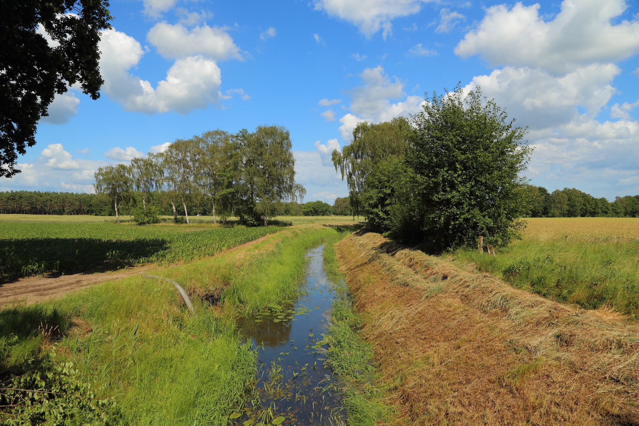
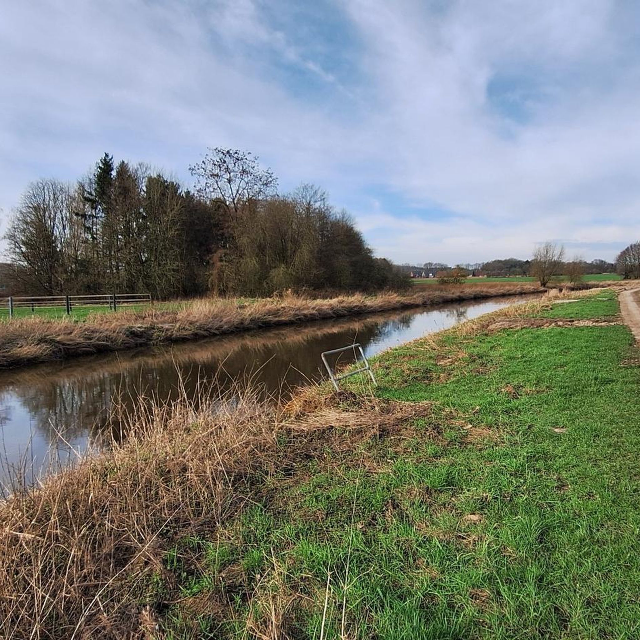
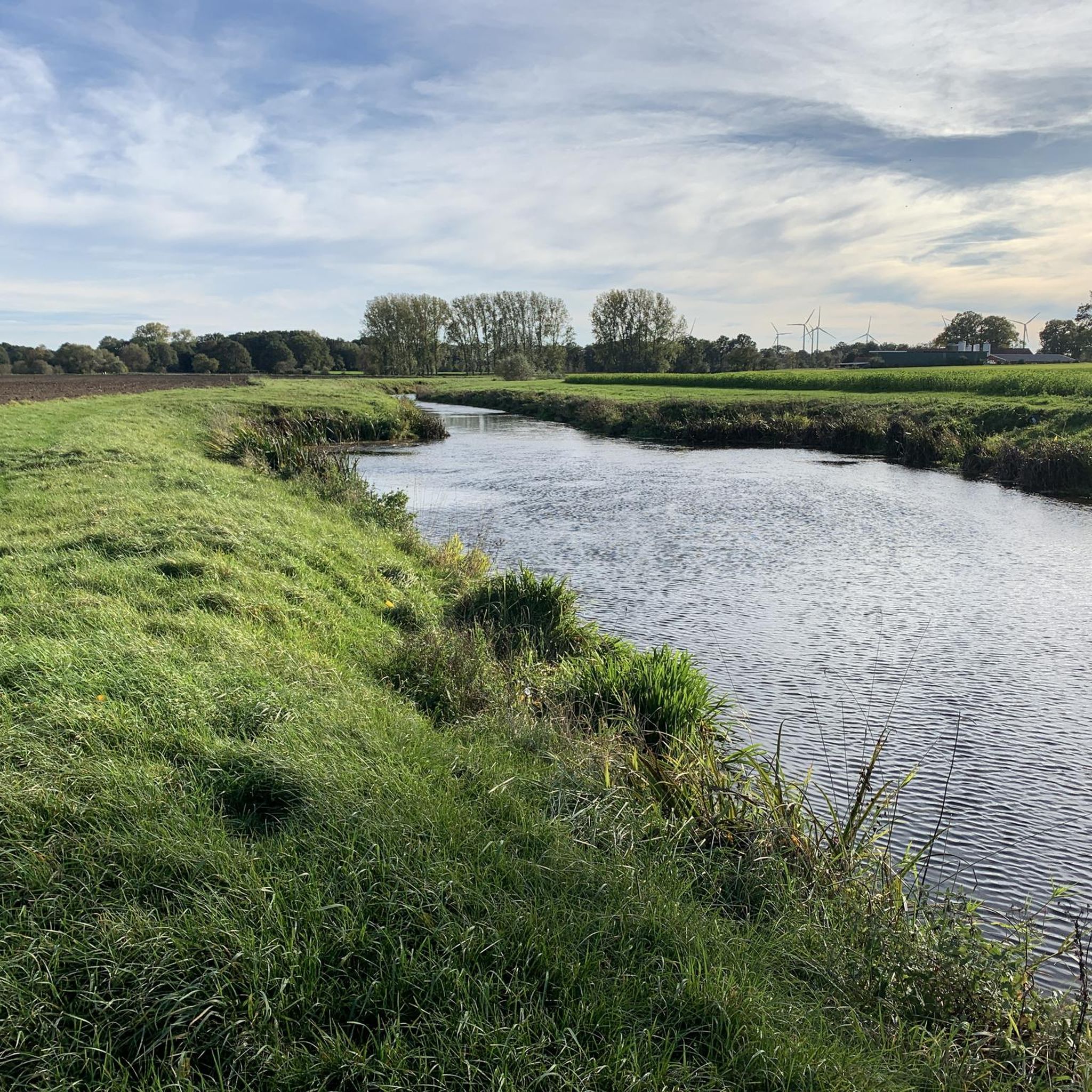
Other adventures around Samern

Tips from the Community

The bench offers the ideal backdrop to take off your helmet, relaxedly park your bike in the soft grass, and enjoy a brought-along roll or a refreshment from your saddlebag. 🥪🥤
1
0
🪑🌊 The bench overlooking Haddorfer See at Haddorfer Seen near Wettringen is the epitome of every excursionist's dream and an absolutely perfect vantage point for a small, undisturbed break on your cycling tour through the northern Münsterland. Placed directly on the circular hiking and cycling path along the shore, this seating spot offers a fantastic panorama over the mirror-smooth water surface.
1
0

Quiet corner with seating. However, it is heavily infested with ticks every year, just for your information.
0
0

The historic sandstone bridge spans the "Eileriingsbeeke" at "Ohner Diek" in "Schüttorf/OT. Suddendorf". The sandstone bridge, also known locally as the "Napoleon Bridge", is one of the oldest bridges in the "Grafschaft Bentheim".
1
0

The sandstone bridge from the "Ohner Diek" over a stream
1
0

A very nice place for a break with information boards about the stories of the old postal route
0
0
A beautiful piece of nature. The Rabenbaum is located directly on the old postal route (Samerott), which leads from Rheine to Schüttorf.
0
0
Actually a very nice route, if only the surface in the forest area was better.
2
0
Frequently Asked Questions
How many hiking trails are available around Samern?
There are over 25 hiking trails around Samern, offering a variety of options for different skill levels. You'll find 21 easy routes and 6 moderate paths to explore.
What kind of landscape can I expect while hiking in Samern?
Samern offers a tranquil rural environment characterized by expansive forests, open fields, and gentle rolling hills. The landscape is influenced by rivers such as the Vechte and Dinkel, providing opportunities for waterside walks. You'll also encounter the historic Samerrott Forest and unique 'raumsichten' objects, which are clearings designed to offer scenic viewpoints.
Are there any family-friendly hiking options in Samern?
Yes, Samern has many easy trails suitable for families. For example, the View of the Forest – Samerrott Information Board loop from Infotafel Raumsichten is an easy 3.0 km (1.9 miles) trail that takes less than an hour to complete, perfect for a leisurely family outing.
Can I bring my dog on the hiking trails in Samern?
Many trails in Samern are suitable for dogs, offering open spaces and natural environments for them to enjoy. It's always recommended to keep your dog on a leash, especially in areas with wildlife or near agricultural land, and to check local regulations for specific routes.
Are there any circular walks available in Samern?
Yes, many of the hiking routes in Samern are designed as loops. A popular circular walk is the Rabenbaum Memorial Site – View of the Forest loop from Samern, an easy 5.4 km (3.3 miles) trail that highlights the historic 'Rabenbaum' and offers views of the Samerrott Forest.
What are some notable natural features or landmarks to see on hikes around Samern?
Hikers can discover the historic 'Rabenbaum' (Raven Tree) within the Samerrott Forest, which is steeped in local legends. The region also features 'raumsichten' objects, which are special clearings offering picturesque viewpoints of the surrounding landscape. Additionally, the Vechte and Dinkel rivers provide scenic waterside paths.
What do other hikers enjoy most about hiking in Samern?
The hiking routes in Samern are highly rated by the komoot community, with an average score of 4.3 stars from over 70 reviews. Hikers often praise the tranquil rural charm, the extensive forests, and the gentle rolling hills that define the area, making for a peaceful outdoor experience.
Are there any longer or more challenging routes near Samern?
While Samern itself offers mostly easy to moderate trails, its location provides access to broader regional paths. The Bentheimer Sandstone Path offers longer routes, and the Töddenweg, a historical trade path, includes a more challenging 29 km (18 miles) stage from Rheine to Bad Bentheim for experienced hikers.
What is the best time of year to go hiking in Samern?
Samern's rural landscape is enjoyable throughout much of the year. Spring and autumn offer pleasant temperatures and beautiful scenery with blooming flora or vibrant fall colors. Summer is also suitable, especially for shaded forest walks. Winter hikes can be serene, but trails might be muddy or icy, so appropriate gear is recommended.
Are there any nearby attractions or points of interest to visit after a hike?
Yes, there are several interesting attractions nearby. You could visit Bentheim Castle, explore the unique Bentheim Sandstone Cliffs, or enjoy the serene Pond with fountain in Kurpark Bad Bentheim. For nature lovers, the South Viewing Platform, Gildehauser Venn offers great views.
What is the typical difficulty level of hikes in Samern?
The majority of hikes in Samern are classified as easy, making them accessible for most fitness levels. There are also several moderate routes for those looking for a slightly longer or more varied experience, but no difficult trails are listed directly within Samern.
Are there any trails that follow rivers or streams in Samern?
Yes, the landscape around Samern is influenced by rivers like the Vechte and Dinkel, offering opportunities for waterside walks. The Pacifier tree – Eileringsbeeke Stream loop from Ohne is a moderate 9.5 km (5.9 miles) path that follows the Eileringsbeeke Stream through varied natural surroundings.
Most popular routes around Samern
Most popular attractions around Samern

Get inspired with the komoot mobile app


Explore more
Browse the best Hikes in other regions.
