The best walks and hikes around Caglio
4.4
(7956)
37,319
hikers
702
hikes
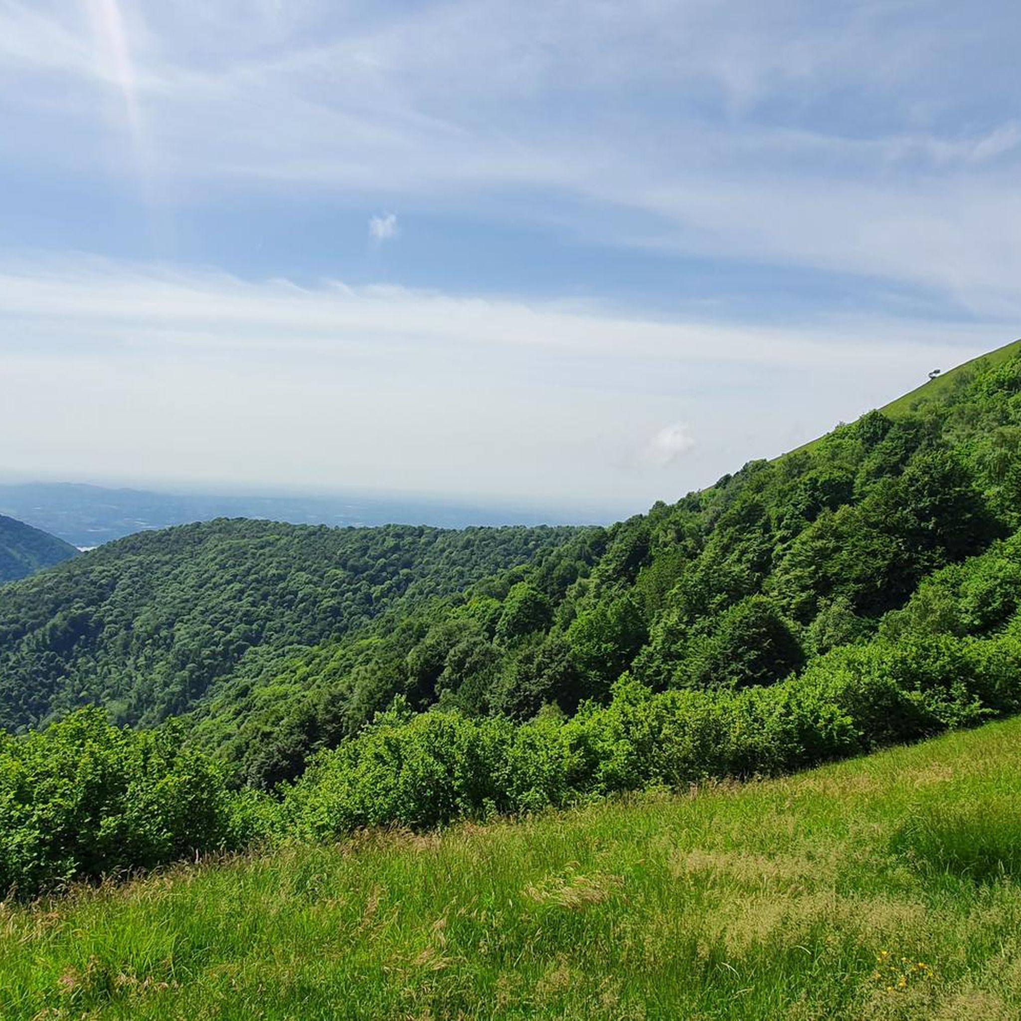
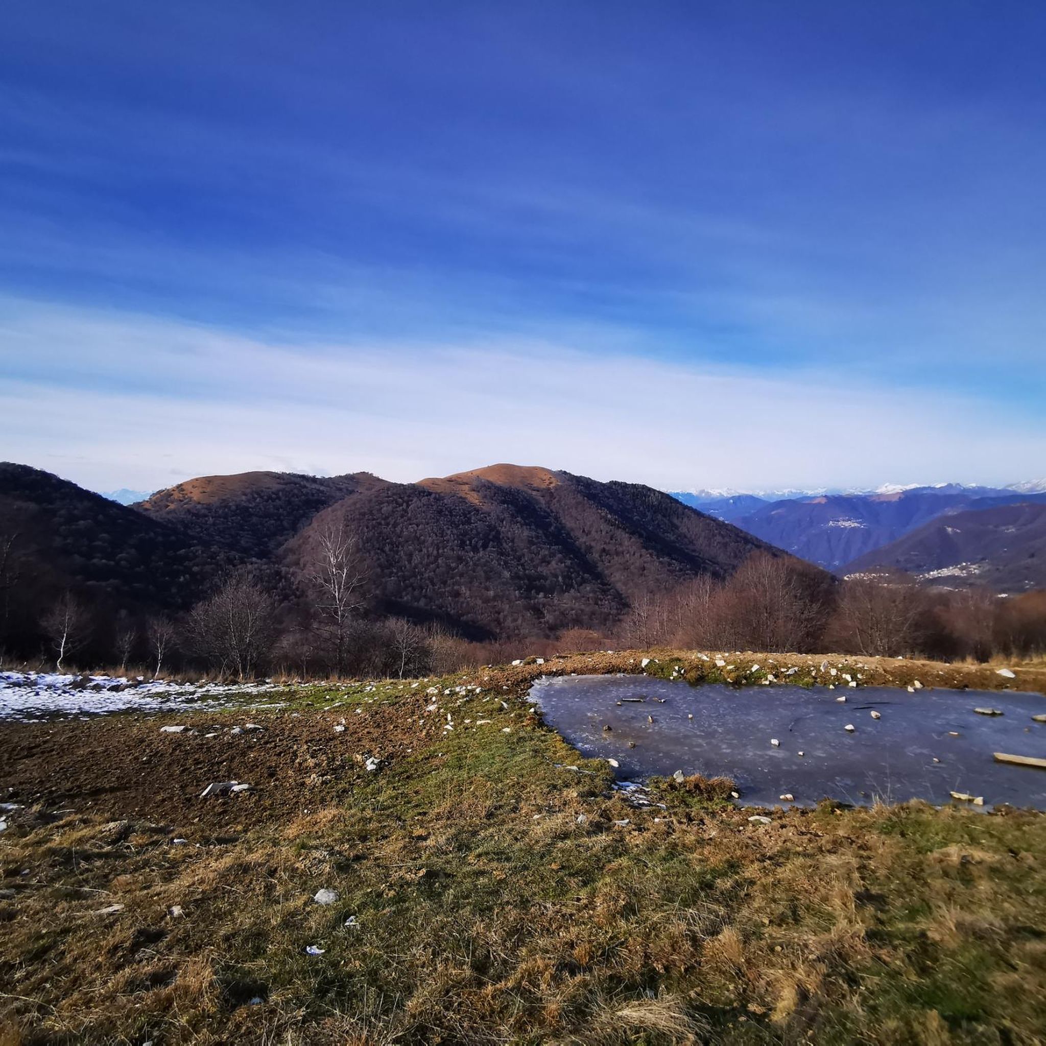
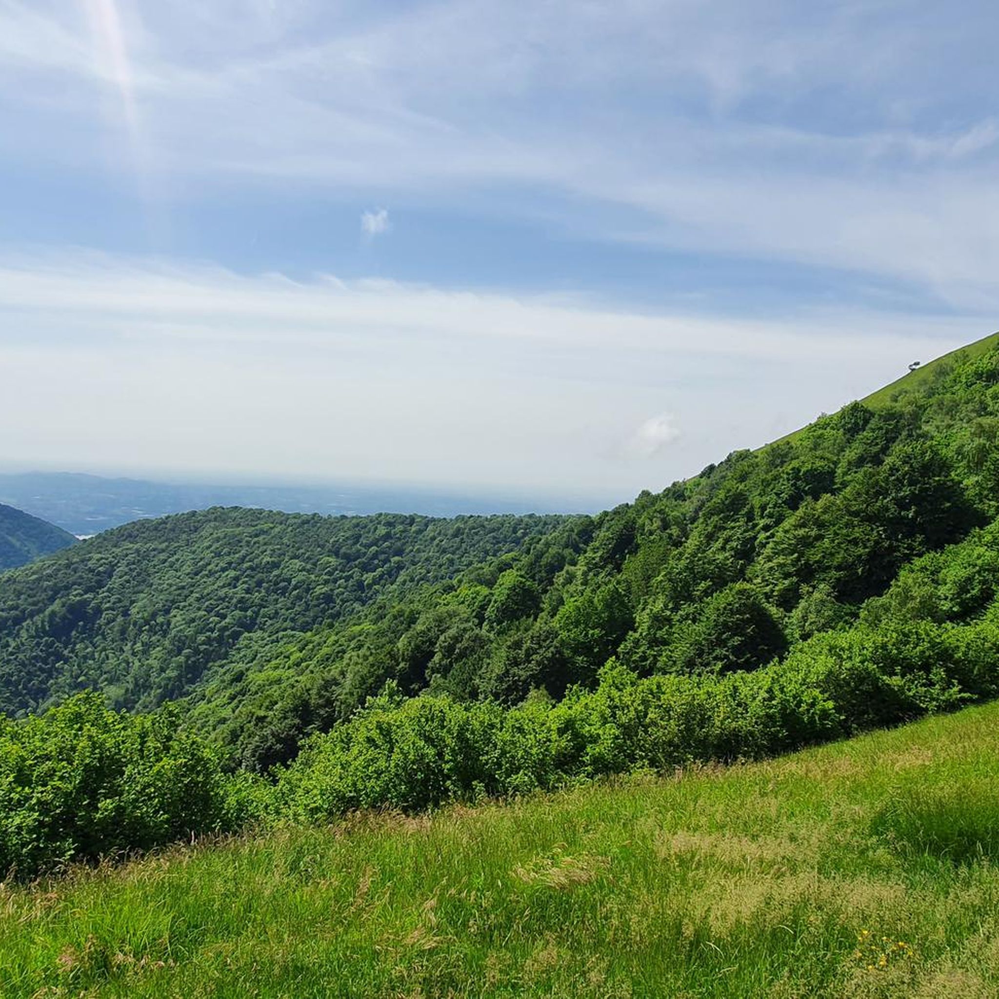
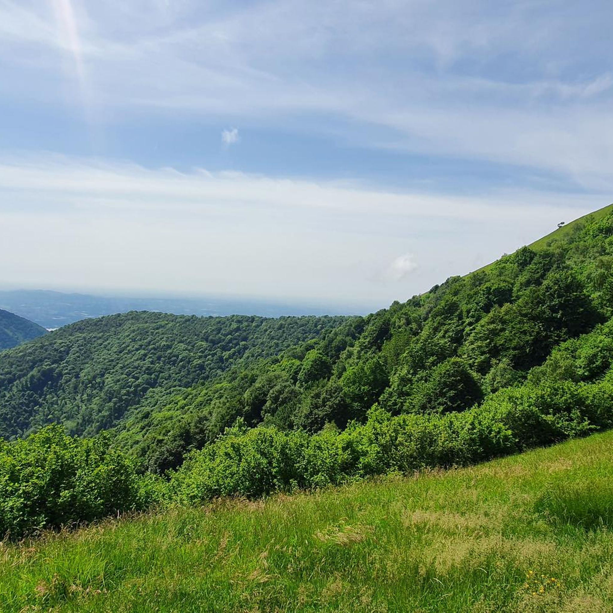
Hiking around Caglio offers diverse landscapes within Italy's Lombardy region, characterized by its position beneath Monte Palanzone. The area features lush forests, ancient chestnut groves, and varied terrain suitable for different fitness levels. Hikers can explore geological formations and enjoy panoramic views of the surrounding mountains, with some routes extending towards the Lake Como area.
Best hiking trails around Caglio
- The most popular hiking route is Castagneto Forest Trail – Monument to Mount Bul loop from Caglio, a 7.8 miles (12.6 km) moderate trail that takes 4 hours 48 minutes to complete, traversing significant forest areas.
- Another top favourite among local hikers is Cassina Enco Farmhouse – Chestnut Grove of Cassina d'Enco loop from Caglio, a moderate 3.4 miles (5.5 km) path. This route explores the notable chestnut groves of the region, offering a tranquil experience.
- Local hikers also love the Colma di Caglio – Colma di Sormano loop from Caglio, a 4.3 miles (6.9 km) trail leading through varied terrain towards Colma di Sormano, often completed in about 2 hours 16 minutes.
- Hiking around Caglio is defined by its diverse landscapes, including dense forests, ancient chestnut groves, and views of Monte Palanzone. The network offers options for easy strolls, moderate excursions, and more challenging ascents.
- The routes in Caglio are highly rated by the komoot community with an average score of 4.5 stars from over 7,000 reviews. More than 36,000 hikers have used komoot to explore Caglio's varied terrain.
Last updated: October 4, 2026
4.6
(448)
2,278
hikers
15.4km
05:04
600m
600m
Begin your hike from Colma di Sormano, starting on a wide dirt track that meanders through dense woods. The trail soon transitions to paths with consistent inclines, leading you through shaded woodlands, past chestnut and oak groves, and into rolling alpine pastures that burst with wildflowers in summer. As you climb, you will find numerous viewpoints, such as Terrabiotta, offering increasingly expansive landscapes. The final segment to Monte San Primo's summit features stony terrain and steep ascents, classifying this as a difficult hike. It covers 9.5 miles (15.4 km) with 1956 feet (596 metres) of elevation gain and typically takes about 5 hours and 3 minutes to complete, culminating in a full 360-degree view of Lake Como, Bellagio, and the distant Po Valley.
While komoot rates this as a difficult hike requiring very good fitness and sure-footedness, some sections, especially the initial parts through the woods, are considered less challenging. The route demands sturdy shoes and an adequate level of fitness for a multi-hour physical activity. Be prepared for a final, steeper push to the summit, though it is never overly exposed. Always check local conditions before you go, as weather can quickly change in mountainous areas.
Monte San Primo holds the distinction of being the highest peak in the Larian Triangle, standing at 1685 meters. This makes it a prime location for its unrivaled panoramas, widely regarded as some of the most scenic in Italy, extending to the Alps, including Monte Rosa, and the northern Apennines. The trail is also part of the famous "Dorsale del Triangolo Lariano," a longer hiking route connecting Como to Bellagio, offering a significant reward in views without extreme exertion.
4.6
(85)
513
hikers
10.5km
03:19
390m
390m
Hike Monte Ponciv from Colma di Sormano for moderate terrain, panoramic views of Lake Como, and a rewarding 6.5-mile journey.

4.7
(30)
111
hikers
15.5km
05:25
810m
810m
Hike the difficult 9.6-mile Monte Palanzone from Sormano loop, gaining 2656 feet for panoramic views of Lake Como and the Po Valley.
4.3
(12)
41
hikers
9.35km
02:49
300m
300m
Hike the moderate 5.8-mile Monte San Primo to Colma di Sormano trail for stunning Lake Como views and diverse terrain.
4.0
(6)
21
hikers
8.01km
02:24
260m
260m
Forest trail through the Larian Triangle leading to Monte San Primo's cross with Lake Como views.
Get access to more routes and recommendations from other explorers.
Already have an account?
Our route recommendations are based on thousands of hikes, rides, and runs completed by other people on komoot.
Start today with a free account
Your next adventure awaits.

Tips from the Community

Passage point for Mount San Primo
0
0
From here you pass through the summit of Mount San Primo
0
0
It's about 40 minutes from the top of San Primo, and just below is a stable for animals. Beautiful views of Lake Como.
0
0
Beautiful summit where you have a 360° view
1
1

Beautiful panoramic viewpoint. Easy climb, non-technical trail, suitable for beginners.
0
0
crossing point for Mount San Primo
0
0
From here we are halfway to Monte San Primo
0
0

Monte Falò is a mountain located in the municipality of Caglio, in the province of Como, in the Larian Prealps, with an altitude of about 1,179 meters. This mountain is one of the most accessible peaks in the area, making it an ideal destination for hikers of all levels. The climb to Monte Falò is relatively short and can be started from Colma di Sormano, a common starting point for several hikes in the region. The route winds through woods and clearings, with a difference in altitude of about 270 meters, offering a pleasant and panoramic walk. Once at the top, visitors can enjoy a spectacular view that spans the Lambro Valley, Lake Como, Monte Palanzone, Monte San Primo and other surrounding mountains. The strategic position of Monte Falò makes it a privileged observation point to admire the Larian landscape. Monte Falò is also an ideal stop for longer excursions, such as the Sentiero delle Creste, which connects several peaks of the Larian Prealps, or for solo explorations, to discover other nearby peaks such as Monte Pianchetta or Monte Bul. The path to reach Monte Falò is well marked and suitable for those looking for a walk immersed in nature, with breathtaking views. This peak is particularly popular in spring and autumn, when the climate is mild and the surrounding vegetation is lush, making Monte Falò a perfect destination for those who want to spend a day in the open air, away from the daily frenzy.
0
1
Frequently Asked Questions
How many hiking trails are available around Caglio?
Caglio offers a diverse network of over 10 hiking trails, catering to various preferences and fitness levels. These routes explore the rich landscapes of the Lombardy region, from dense forests to panoramic mountain views.
Are there easy hiking trails suitable for beginners or families in Caglio?
Yes, Caglio has trails suitable for beginners and families. While many routes are moderate, there are options for easier strolls. The area's tranquil environment and varied terrain ensure a pleasant experience for all, allowing you to explore ancient chestnut groves and enjoy the healthy air.
Are there any circular hiking routes in Caglio?
Absolutely. Many of Caglio's hiking routes are designed as loops, allowing you to start and end in the same location. For example, the Cassina Enco Farmhouse – Chestnut Grove of Cassina d'Enco loop from Caglio is a moderate 3.4-mile path that explores notable local features.
What kind of natural attractions can I expect to see on hikes around Caglio?
Hiking around Caglio offers a variety of natural wonders. You can explore lush forests, ancient chestnut groves, and unique geological formations like the 'earth mushrooms' in nearby Rezzago. Some trails also provide panoramic views of Monte Palanzone and the surrounding mountains. For specific natural highlights, consider exploring the Nesso Gorge or the Meria Stream Cave.
Are there any historical or cultural landmarks to visit while hiking in Caglio?
Caglio is rich in history and culture. The village itself boasts an ancient medieval core with stone buildings and the magnificent Romanesque church of Santa Valeria. An open-air museum dedicated to Divisionist painter Giovanni Segantini also features panels of his works along the streets. Additionally, you might encounter highlights like the Madonna del Ghisallo Sanctuary and Cycling Museum on routes extending towards mountain passes.
How long do hikes around Caglio typically take?
Hike durations in Caglio vary significantly depending on the route's length and difficulty. You can find shorter paths like the Colma di Caglio – Colma di Sormano loop from Caglio, which typically takes about 2 hours 16 minutes, or longer, more challenging treks that can last over 5 hours, such as the Castagneto Forest Trail – Monument to Mount Bul loop from Caglio.
What do other hikers enjoy most about the trails in Caglio?
The hiking trails in Caglio are highly rated by the komoot community, with an average score of 4.5 stars from over 7,000 reviews. Hikers frequently praise the diverse landscapes, the tranquility of the chestnut groves, and the stunning views of Monte Palanzone. The well-maintained paths and the opportunity to explore both natural beauty and cultural sites are also often highlighted.
Can I bring my dog on the hiking trails in Caglio?
Caglio's natural environment is generally welcoming for dogs. Most trails traverse forests and open areas, making them suitable for walks with your canine companion. However, it's always advisable to keep your dog on a leash, especially in areas with wildlife or near agricultural land, and to respect local regulations regarding pets.
Are there any challenging hikes for experienced trekkers in Caglio?
Yes, for experienced trekkers seeking a challenge, Caglio offers more difficult ascents. Routes like the Monument to Mount Bul – Colma di Sormano loop from Caglio provide significant elevation gain and longer distances, allowing you to test your endurance while enjoying expansive views.
Is there parking available near the trailheads in Caglio?
Caglio, being a municipality focused on outdoor activities, typically offers parking options within or near the village center, which often serve as starting points for many trails. It's usually possible to find designated parking areas, especially for routes originating directly from the village.
What is the best time of year to go hiking in Caglio?
Caglio offers pleasant hiking conditions for much of the year. Spring and autumn are particularly popular due to mild temperatures and vibrant foliage, especially in the chestnut groves. Summer provides warm weather for higher altitude routes, while winter can offer unique snowy landscapes, though some trails might require appropriate gear or be less accessible.
Are there any trails that offer views of Lake Como from Caglio?
While Caglio is nestled in the mountains, its location in the Como area means that some longer excursions or multi-day hikes can connect to Lake Como, offering opportunities for stunning lake views. These routes typically involve more extensive trekking to reach vantage points overlooking the lake.
Most popular routes around Caglio
Most popular attractions around Caglio

Get inspired with the komoot mobile app


Explore more
Browse the best Hikes in other regions.
