The best MTB trails around Busto Garolfo
4.3
(1526)
6,203
riders
351
rides
Mountain biking around Busto Garolfo offers access to a network of routes along historic canals and through regional parks. The area is characterized by flat paths along the Villoresi Canal and Naviglio Grande, providing accessible terrain for cyclists. Nearby river valleys, such as the Olona Valley, and parks like Parco del Roccolo, offer more varied terrain. This landscape provides a mix of easy loops and more challenging routes suitable for different skill levels.
Best mountain bike trails around Busto Garolfo
…Last updated: October 13, 2026
4.4
(44)
179
riders
58.4km
03:30
180m
180m
Moderate mountain bike ride. Good fitness required. Suitable for all skill levels.
4.3
(20)
114
riders
72.3km
03:56
120m
120m
Moderate mountain bike ride. Good fitness required. Suitable for all skill levels.

4.6
(18)
99
riders
Moderate mountain bike ride. Good fitness required. Suitable for all skill levels.
4.4
(21)
88
riders
50.3km
02:59
120m
120m
Moderate mountain bike ride. Good fitness required. Suitable for all skill levels.
4.4
(20)
60
riders
Easy mountain bike ride. Great for any fitness level. Suitable for all skill levels.
Get access to more routes and recommendations from other explorers.
Already have an account?
Our route recommendations are based on thousands of hikes, rides, and runs completed by other people on komoot.
Start today with a free account
Your next adventure awaits.
Tips from the Community

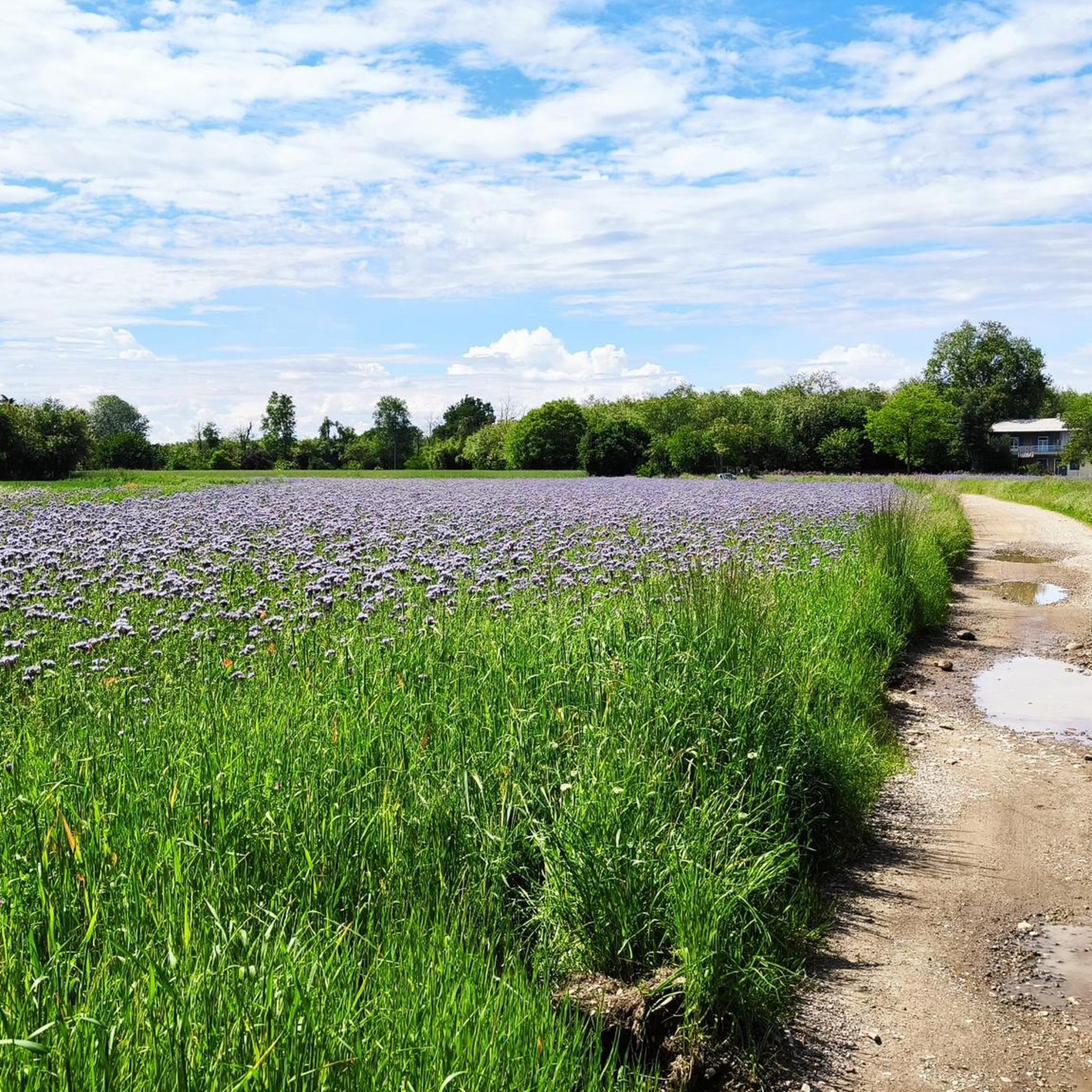
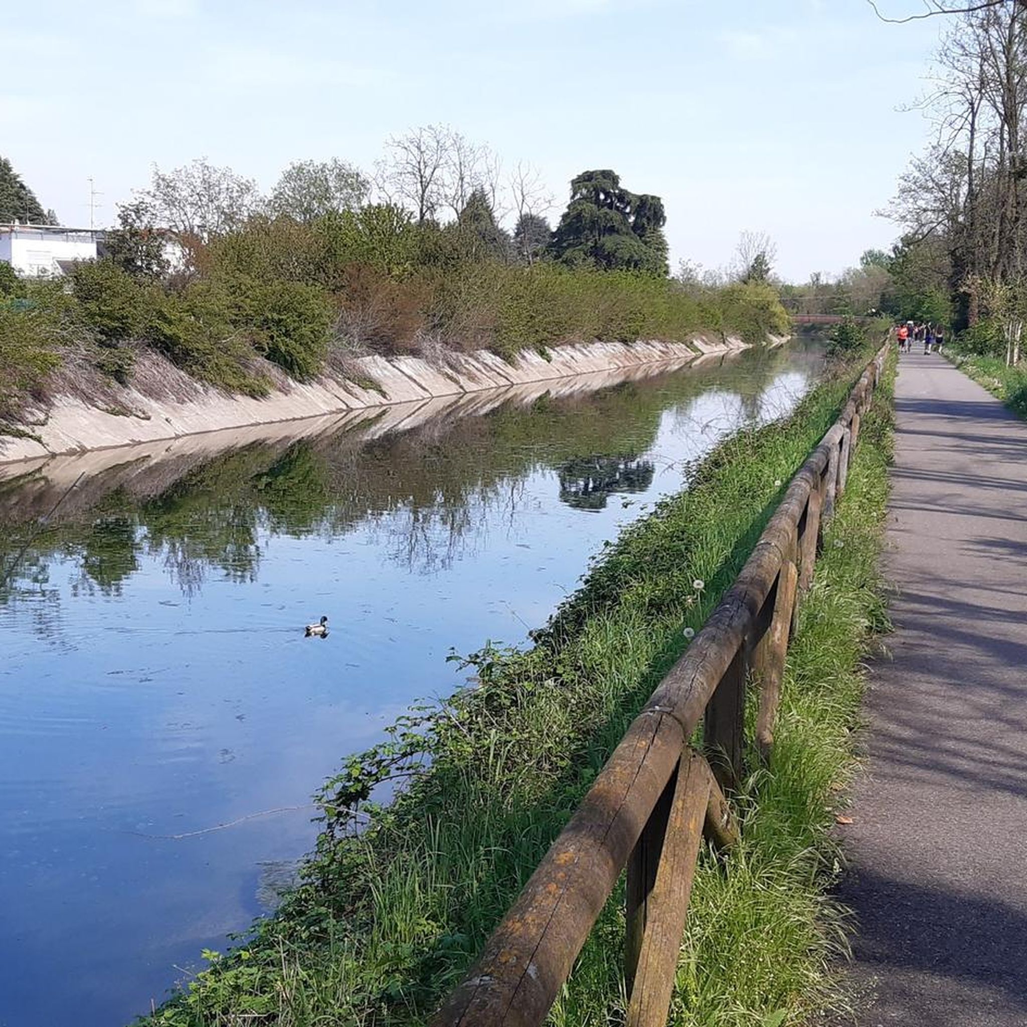
The Villoresi canal takes water from the river Ticino, in the locality of Panperduto, in the municipality of Somma Lombardo. After travelling 86 kilometers, through the provinces of Milan and Monza Brianza, it flows into the river Adda in the municipality of Cassano d’Adda. Construction work began in 1881 and was completed in 1891 to a design by Eugenio Villoresi. Originally intended exclusively for irrigation, following the crisis in crops related to silk production, the canal now allows water distribution in a plain area of approximately 85,000 hectares, through a network that totals around 3,000 kilometers. The paths, which are free of difficulties, accessible to everyone and certainly of interest, are part of the investments made to enhance the towpaths of the waterways, and are also considered a fast connection route between the various Municipalities bordering the canal.
1
0
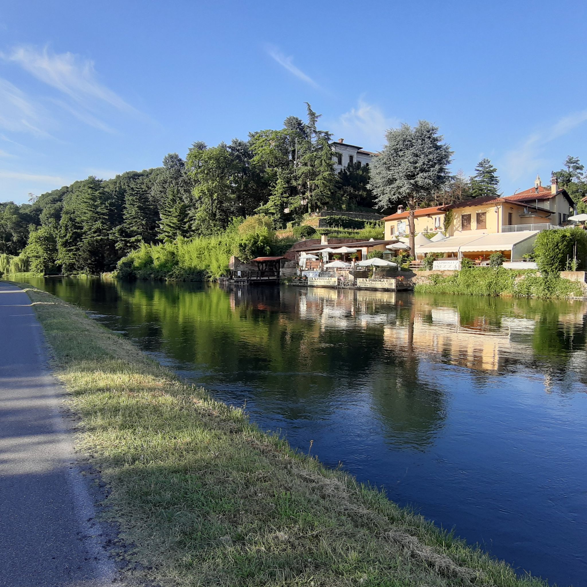
The Villoresi Canal towpath connects Arese and the nearby municipalities via cycle paths and service roads, offering a convenient cycle-pedestrian route along the artificial canal that connects the Ticino and Adda rivers.
0
0
The Strada Alzaia Canale Villoresi is a service road of about 85-90 km that runs along the canal from Somma Lombardo (VA) to Cassano d'Adda (MI), managed by the Consorzio Est Ticino Villoresi. Although widely used by cyclists and walkers, it is not a proper cycle path but a road for mixed use and maintenance.
0
0
The Strada Alzaia Canale Villoresi is a service road of about 85-90 km that runs along the canal from Somma Lombardo (VA) to Cassano d'Adda (MI), managed by the Consorzio Est Ticino Villoresi. Although it is widely used by cyclists and walkers, it is not a real cycle path but a road for mixed use and maintenance.
0
0
The La Strada Alzaia Canale Villoresi in Nosate is one of the most picturesque, green, and unspoiled stretches of the Villoresi Canal Cycle Route, located in the metropolitan city of Milan. This specific segment is situated at the western end of the canal, a short distance from the point where the hydraulic infrastructure originates from the Ticino river.
0
0
The Strada Alzaia Canale Villoresi in the territory of Arconate is one of the most appreciated and frequented sections of the homonymous cycle path in western Lombardy. This specific segment offers an ideal escape into nature for cyclists, runners, and families.
0
0
The Villoresi canal draws water from the Ticino river, in the locality of Panperduto, in the municipality of Somma Lombardo. After traveling 86 kilometers, in the provinces of Milan and Monza Brianza, it flows into the Adda river in the municipality of Cassano d’Adda. Construction work began in 1881 and was completed in 1891 to a design by Eugenio Villoresi. Originally intended exclusively for irrigation purposes, following the crisis of crops connected with silk production, the canal now allows water distribution in a plain area of approximately 85,000 hectares, through a network that totals about 3,000 kilometers. The paths, free of difficulties, accessible to everyone and certainly of interest, are part of the investments made to enhance the towpaths of the waterways, and should also be considered a fast connection route between the various Municipalities bordering the canal.
1
0

The intersection between the Olona river and the Villoresi Canal occurs in the Alto Milanese area, specifically between the municipalities of Parabiago, Nerviano, and San Vittore Olona. This area is characterized by the intersection of local cycle paths (such as the Olona Greenway) and the long irrigation canal, offering naturalistic and historical routes.
1
0
Frequently Asked Questions
How many mountain bike trails are available around Busto Garolfo?
There are over 370 mountain bike trails around Busto Garolfo. These include 125 easy routes, 208 moderate routes, and 45 difficult routes, ensuring options for every skill level.
What kind of terrain can I expect on mountain bike trails in Busto Garolfo?
The terrain around Busto Garolfo is diverse, featuring flat paths along the historic Villoresi Canal and Naviglio Grande, as well as more varied landscapes within regional parks like the Parco del Roccolo and the Olona Valley. You'll find a mix of easy, mostly flat sections and more challenging routes with some elevation changes.
Are there any family-friendly mountain bike routes in Busto Garolfo?
Yes, Busto Garolfo offers several easy routes suitable for families. Trails along the Villoresi Canal and Naviglio Grande are generally flat and accessible, providing a pleasant experience for all ages. For example, the Naviglio Grande Near Bernate – Naviglio Grande loop from Busto Garolfo is an easy option.
Can I bring my dog on the mountain bike trails in Busto Garolfo?
Many of the trails around Busto Garolfo, particularly those along the canals and in regional parks, are dog-friendly. However, it's always advisable to keep your dog on a leash, especially in more populated areas or near wildlife, and to check specific park regulations if venturing into designated nature reserves.
What are some scenic viewpoints or natural attractions to look out for while mountain biking?
While mountain biking, you can enjoy picturesque views along the Towpath of the Villoresi Canal and the Naviglio Grande. The region also features natural attractions like the La Foppa Wetland (San Vittore Olona) and various ponds such as Herons Park Pond and Menedrago Pond.
Are there any circular mountain bike routes in the area?
Yes, many routes around Busto Garolfo are designed as loops. A popular moderate option is the Canale Villoresi – La Barsanella loop from Arconate, which follows the scenic towpaths of the Villoresi Canal.
What is the best time of year for mountain biking in Busto Garolfo?
The best time for mountain biking in Busto Garolfo is generally during spring and autumn when the weather is mild and pleasant. Summer can be enjoyable, but it's wise to ride in the mornings or late afternoons to avoid the midday heat. Winter riding is possible, but some paths might be muddy or require appropriate gear.
Where can I find parking near the mountain bike trails?
Parking is generally available in and around Busto Garolfo, especially near the starting points of popular trails or in the towns along the canals. Specific parking details can often be found on individual route pages on komoot or by checking local municipal information for areas like Parco del Roccolo or access points to the Villoresi Canal.
Are there any cafes or pubs near the mountain bike trails for a break?
Yes, as Busto Garolfo and the surrounding villages are well-established, you'll find various cafes, restaurants, and pubs along or near the canal paths and in the towns. These offer convenient spots to refuel and relax during your ride.
What are some longer, more challenging mountain bike routes in the Busto Garolfo area?
For a longer and more challenging ride, consider the Olona Valley Cycle Path – Olona Valley cycle path loop from Busto Garolfo. This moderate trail covers about 39.5 miles (63.6 km) and leads through the varied terrain of the Olona Valley, offering a more extensive cycling experience.
Are there any specific facilities for mountain biking, like a bike park, in Busto Garolfo?
Yes, Busto Garolfo has facilities catering to cyclists. The area near Via Arconate is known for its Pump Track and Cyclocross park, indicating specialized areas for mountain biking and cycling enthusiasts.
What do other mountain bikers say about the trails in Busto Garolfo?
The mountain bike trails around Busto Garolfo are highly rated by the komoot community, with an average score of 4.4 stars from over 1300 reviews. Riders often praise the accessibility of the canal paths, the natural beauty of the regional parks, and the variety of routes available for different skill levels.
Most popular routes around Busto Garolfo
Most popular attractions around Busto Garolfo

Get inspired with the komoot mobile app


Explore more
Browse the best MTB trails in other regions.
