The best walks and hikes around Arconate
4.3
(963)
5,706
hikers
336
hikes
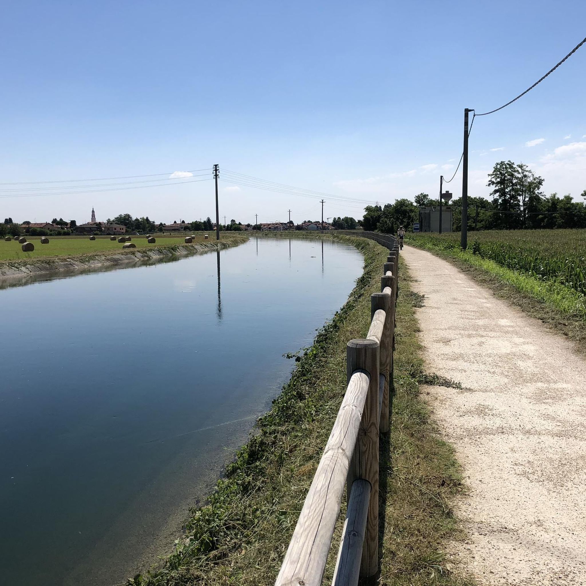
Hiking around Arconate offers access to a network of trails characterized by flat terrain and minimal elevation changes. The landscape primarily features canals, such as the Villoresi Canal, and local parks, providing accessible outdoor experiences. These natural features define the area's appeal for easy hikes and leisurely walks. The region's topography is generally level, making it suitable for a wide range of abilities.
Best hiking trails around Arconate
- The most popular hiking route is Canal – Villoresi Canal in Buscate…
Last updated: August 25, 2026
3.0
(1)
23
hikers
7.39km
01:52
10m
10m
Easy hike. Great for any fitness level. Easily-accessible paths. Suitable for all skill levels.
4.0
(2)
18
hikers
7.30km
01:50
10m
10m
Easy hike. Great for any fitness level. Easily-accessible paths. Suitable for all skill levels.

Sign up for free
2.0
(2)
19
hikers
5.41km
01:22
0m
0m
Easy hike. Great for any fitness level. Easily-accessible paths. Suitable for all skill levels.
12
hikers
5.15km
01:18
0m
0m
Easy hike. Great for any fitness level. Easily-accessible paths. Suitable for all skill levels.
9
hikers
7.29km
01:51
10m
10m
Easy hike. Great for any fitness level. Easily-accessible paths. Suitable for all skill levels.
Get access to more routes and recommendations from other explorers.
Sign up for free
Already have an account?
Our route recommendations are based on thousands of hikes, rides, and runs completed by other people on komoot.
Start today with a free account
Your next adventure awaits.
Login or Signup

Other adventures around Arconate

Tips from the Community

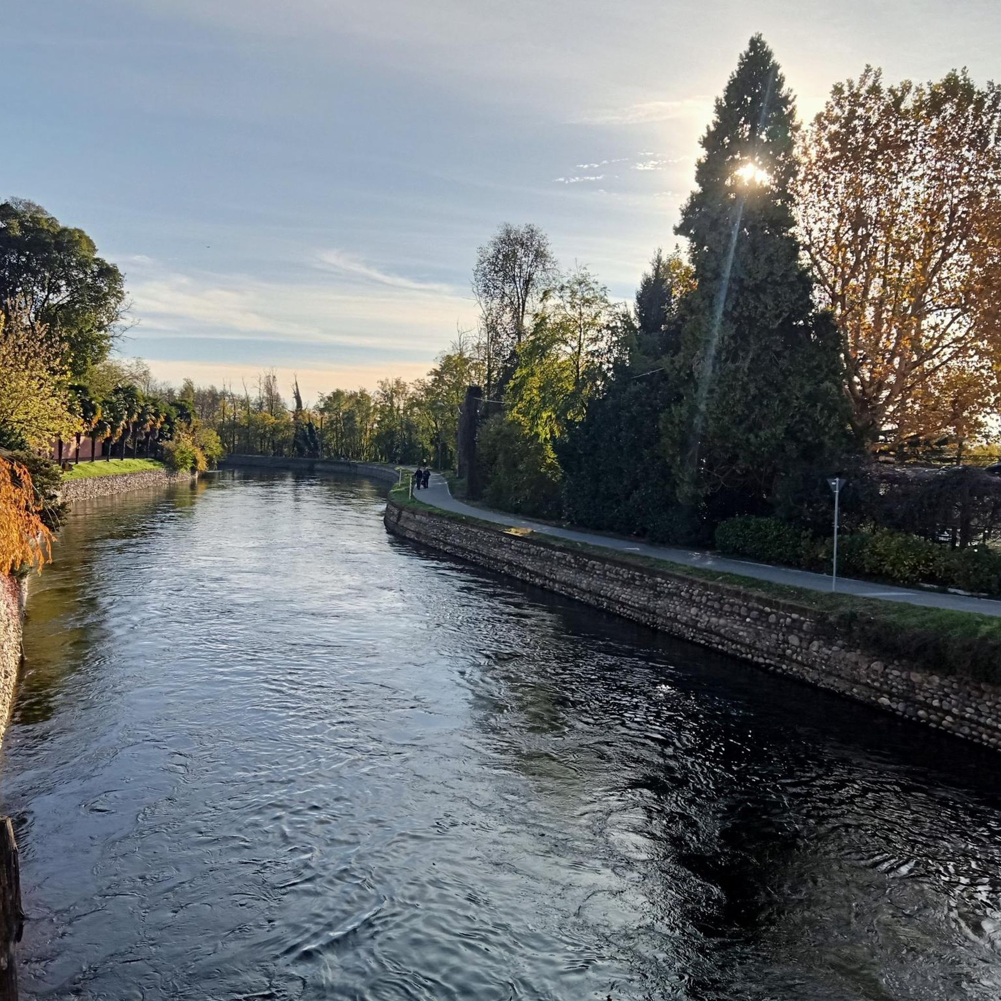
The Strada Alzaia Canale Villoresi is a service road of about 85-90 km that runs along the canal from Somma Lombardo (VA) to Cassano d'Adda (MI), managed by the Consorzio Est Ticino Villoresi. Although widely used by cyclists and walkers, it is not a proper cycle path but a road for mixed use and maintenance.
0
0
The Strada Alzaia Canale Villoresi in the territory of Arconate is one of the most appreciated and frequented sections of the homonymous cycle path in western Lombardy. This specific segment offers an ideal escape into nature for cyclists, runners, and families.
0
0

Is the bike path open? I knew it was closed for construction?
1
0

the bridge allows safe access to the towpath
0
0

Relaxing metabolic walk in the middle of nature, a route suitable for everyone
0
1

Classic stop to cool off
0
0

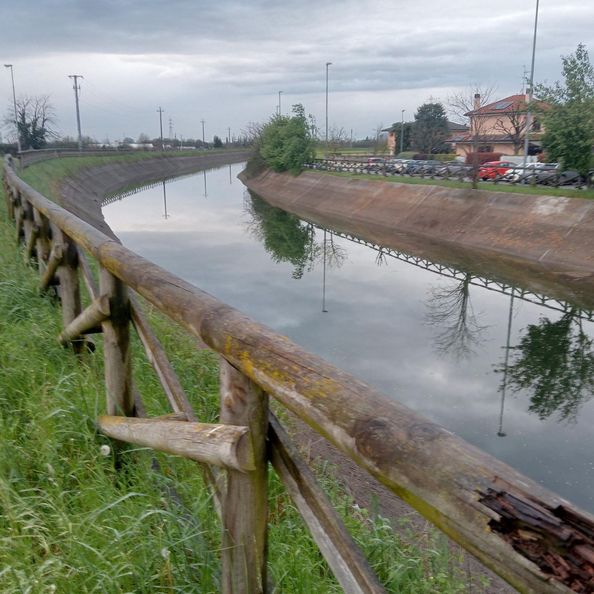
It was a nice place, now a bit run down!! Uncivilized people.
0
0

This is a portion of the Strada Alzaia del Canale Villoresi and not a cycle path (nor a cycle-pedestrian path) as also stated by the signs placed by the Consorzio Villoresi Est which manages its maintenance. It would be a good idea for everyone to look on the consortium's website for the page regarding cycling and walking on the towpaths (for personal culture as much as to avoid "disputes" with anyone)
2
0
Frequently Asked Questions
How many hiking trails are available in Arconate?
Arconate offers a wide selection of hiking trails, with nearly 280 routes to explore. The majority of these are classified as easy (over 150 trails) or moderate (nearly 120 trails), making the area accessible for various skill levels. Only a small number of routes are considered difficult.
What kind of terrain can I expect on hikes around Arconate?
Hiking in Arconate is characterized by generally flat terrain with minimal elevation changes. You'll primarily find paths alongside canals, such as the Villoresi Canal, and through local parks and agricultural landscapes. This makes the area ideal for leisurely walks and easy hikes.
Are there any circular hiking routes in Arconate?
Yes, many of the routes around Arconate are circular, offering convenient starting and ending points. For example, the Canal – Villoresi Canal in Buscate loop from Arconate is a popular easy circular trail that follows the Villoresi Canal.
What do other hikers enjoy most about hiking in Arconate?
The komoot community highly rates the hiking experience in Arconate, with an average score of 4.4 stars from over 700 reviews. Hikers often praise the accessible, flat paths, particularly those along the canals and through green spaces like Alpini Park, which are perfect for relaxed outings.
Are there any family-friendly hiking trails in Arconate?
Absolutely. The predominantly flat and easy trails in Arconate are well-suited for families. Routes like the Alpini Park loop from Arconate offer gentle gradients and green spaces, making them enjoyable for all ages.
Can I bring my dog on the hiking trails in Arconate?
Many of the trails in Arconate are suitable for dog walking, especially the flat paths along the canals and through local parks. It's always recommended to keep your dog on a leash and be mindful of local regulations and other trail users.
Are there any interesting natural features or landmarks to see along the trails?
While Arconate is known for its canals and parks, you can find interesting natural monuments nearby. Highlights include the Bernate Ticino Wooden Footbridge and the Ticino River in the Parco Lombardo della Valle del Ticino, offering scenic views and points of interest.
What is the best time of year to go hiking in Arconate?
Given the flat terrain and lack of significant elevation, hiking in Arconate is enjoyable for much of the year. Spring and autumn offer pleasant temperatures and colorful scenery, while summer can be good for early morning or late afternoon walks. Winter hikes are also possible, though some paths might be muddy after rain.
Are there options for longer hikes around Arconate?
While many routes are shorter, there are options for longer walks. For instance, the Canale Villoresi loop from Inveruno is a moderate 11.5 km (7.1 miles) trail that follows the Villoresi Canal, offering a more extended experience.
Is public transport available to access hiking trails in Arconate?
Information on specific public transport links directly to trailheads is limited. However, Arconate is a small town, and local bus services might connect to nearby areas. For most convenient access, driving to a starting point is often recommended.
Where can I find parking for hiking trails in Arconate?
Parking is generally available in and around Arconate, particularly near local parks or residential areas that serve as common starting points for trails. Specific parking details can often be found on individual route pages on komoot or by checking local signage.
Most popular attractions around Arconate

Get inspired with the komoot mobile app


Explore more
Browse the best Hikes in other regions.
