The best road cycling routes around Arluno
4.3
(659)
16,758
riders
478
rides
Road cycling routes around Arluno are characterized by varied terrain, from flat canal paths to routes with moderate elevation gains. The area is situated in Lombardy, offering access to natural parks such as Parco del Roccolo and the vast Ticino Park. Many routes feature mostly paved surfaces, making them suitable for road biking and connecting to a wider network of cycling-friendly infrastructure.
Best road cycling routes around Arluno
- The most popular road cycling route is Ring tour in Ticino Park…
Last updated: October 15, 2026
4.0
(8)
18
riders
41.5km
01:42
80m
90m
Easy road ride. Great for any fitness level. Mostly well-paved surfaces and easy to ride.
3.9
(36)
725
riders
Moderate road ride. Good fitness required. Mostly well-paved surfaces and easy to ride.

59
riders
145km
06:13
1,130m
1,130m
Hard road ride. Very good fitness required. Some segments of this route may be unpaved and difficult to ride.
38
riders
90.2km
03:41
430m
430m
Moderate road ride. Good fitness required. Mostly well-paved surfaces and easy to ride.
33
riders
Easy road ride. Great for any fitness level. Mostly well-paved surfaces and easy to ride.
Get access to more routes and recommendations from other explorers.
Already have an account?
Our route recommendations are based on thousands of hikes, rides, and runs completed by other people on komoot.
Start today with a free account
Your next adventure awaits.

Tips from the Community

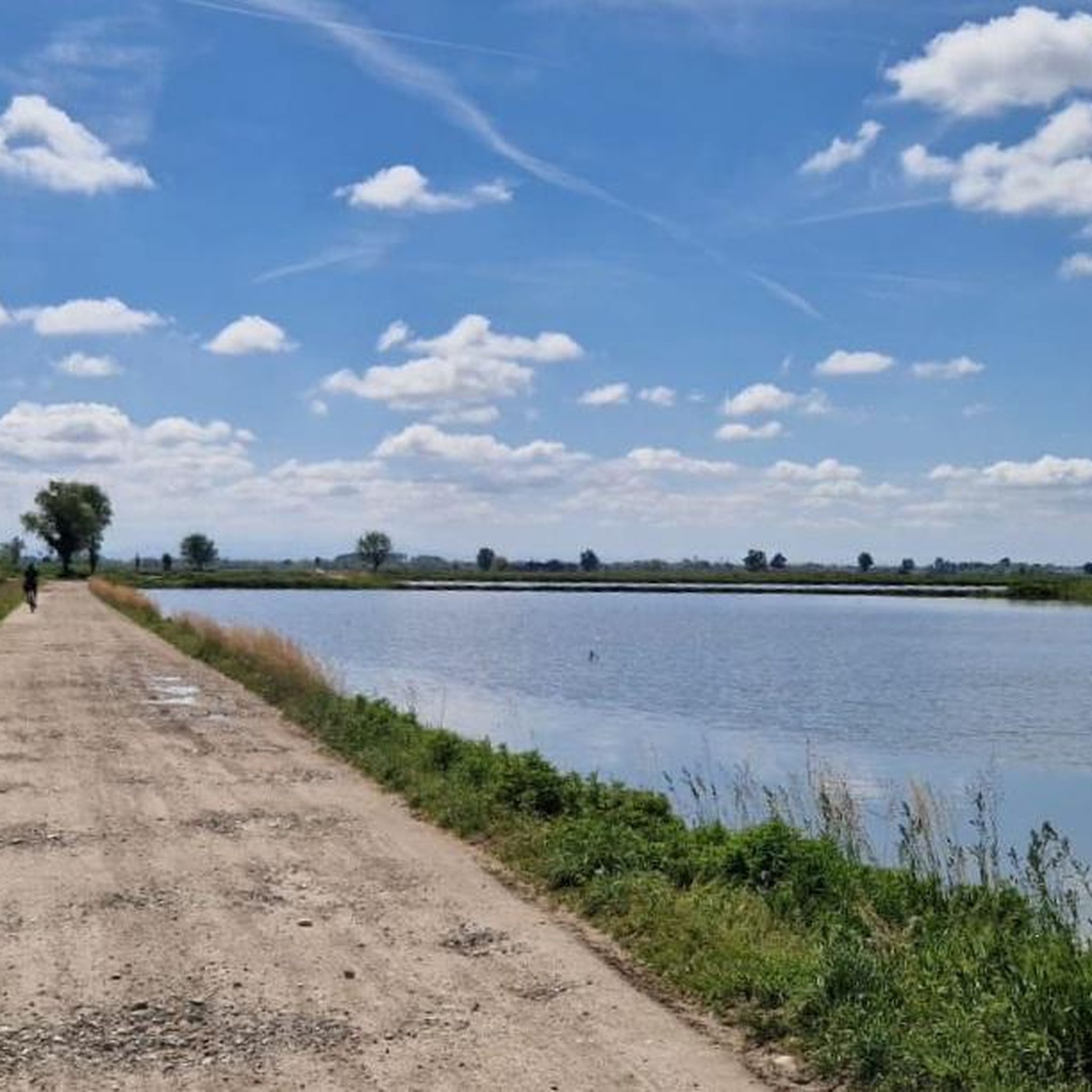
The Nosate–Tornavento cycle path is a charming 8 km cycle-pedestrian route that connects the province of Varese to that of Milan, immersed in the greenery of the Ticino Park.
0
0
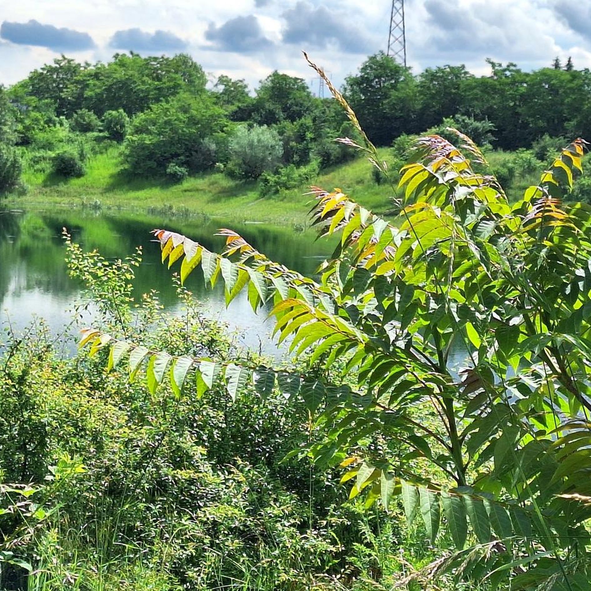
Il Laghetto di Menedrago (also known as Oasi di Menedrago) is an artificial body of water located in the municipality of Marcallo con Casone, in the Metropolitan City of Milan, in Lombardy. The basin, curiously born from the excavations for the embankment of the high-speed railway line (TAV), filled up naturally thanks to an underground spring, transforming the area into a green oasis.
0
0
The Sesto Calende riverside walk winds along the banks of the Ticino river at the exact point where the waters of Lake Maggiore leave the basin to continue their course.
0
0
The Castle of Somma Lombardo, officially known as Castello Visconti di San Vito, is a magnificent 13th-century fortress located in the province of Varese, a short distance from Milan Malpensa Airport.
0
0
The Valle Olona offers a cycle and pedestrian path of about 50 km that develops mainly on flat ground along the river. However, for those who love a challenge, the surrounding hills offer climbs and descents with challenging gradients of up to 10%.
0
0
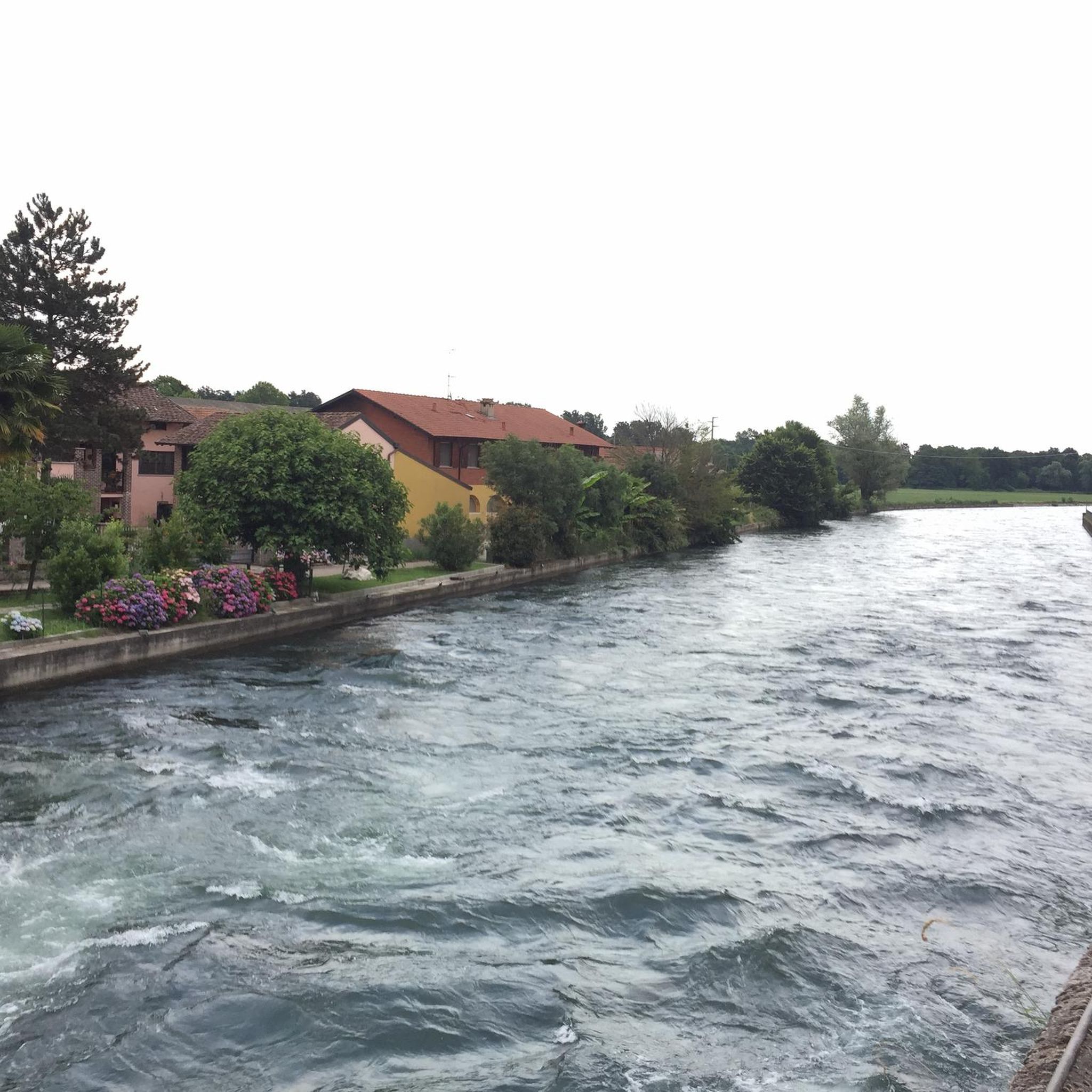
The Bridge of Cassinetta di Lugagnano is one of the most characteristic and historically significant monuments located along the Naviglio Grande, in the metropolitan city of Milan. Originally built of granite, the structure dates back to the 17th century, erected during the Spanish rule of the Duchy of Milan to connect the two historic centers divided by the canal. The bridge historically unites Lugagnano (on the right bank, of Roman origin) and Cassinetta (on the left bank, of medieval design). The bridge was completely rebuilt in a donkey-back shape in May 1862. This intervention became necessary both to repair the damage from the wars of independence (such as the nearby Battle of Magenta in 1859) and to facilitate the transit of commercial barges on the Naviglio.
0
0
The High-Speed Cycle Path (T.A.V.) is a route of about 26 km that runs parallel to the Milan-Turin railway line. In Boffalora sopra Ticino, the path ends (or begins) on the bridge over the Naviglio Grande, connecting directly to the cycle route of the Naviglio itself.
1
0

L'Alzaia del Naviglio di Bereguardo is the historic towpath, today transformed into a splendid cycle-pedestrian path of about 19 kilometers, which runs along the artificial canal of the same name. It connects Castelletto di Abbiategrasso (where the canal originates, branching off from the Naviglio Grande) to the municipality of Bereguardo, finally flowing into the Ticino river. Built in the 15th century at the behest of the Dukes of Milan (the Visconti first, then the Sforza), the canal served as a fundamental commercial route (particularly for salt and cheeses) to connect the city to the Po river and the sea.
2
0
Frequently Asked Questions
What types of terrain can I expect on road cycling routes around Arluno?
Road cycling routes in the Arluno area offer a varied terrain. You'll find everything from flat, scenic paths along the historic Naviglio Grande canal to routes with moderate elevation gains, especially as you venture towards natural parks like Parco del Roccolo or the broader Ticino Park. Most routes feature paved surfaces, ideal for road biking.
How many road cycling routes are available in the Arluno region?
There are over 500 road cycling routes available around Arluno, catering to various skill levels. This includes more than 200 easy routes, over 270 moderate options, and around 30 challenging trails for experienced cyclists.
Are there any easy road cycling routes suitable for beginners in Arluno?
Yes, Arluno offers many easy road cycling routes perfect for beginners or those seeking a relaxed ride. A great option is the Ring tour in Ticino Park on the Naviglio Grande Cycle Path, which is 41.5 km long and follows the flat, car-free sections of the Naviglio Grande.
What are some challenging road cycling routes for experienced riders near Arluno?
For experienced cyclists looking for a challenge, the Castelnovate power plant – Arona on Lake Maggiore loop from Vittuone-Arluno is a demanding 145 km route with significant elevation gain, extending towards Lake Maggiore. Another moderate option with notable climbs is the Large Beech Tree Near the Highway – Bergoro Climb loop from Vittuone-Arluno.
What natural features or landmarks can I see along the road cycling routes?
Many routes in the Arluno area pass through beautiful natural settings and near historical landmarks. You can explore the vast Ticino Park, a UNESCO Biosphere Reserve, or cycle through Parco del Roccolo. Along the Naviglio Grande, you might encounter historical structures like the Boffalora Bridge on the Naviglio or the Castelletto Bridge on the Naviglio Grande.
Are there family-friendly road cycling options around Arluno?
Yes, the region offers several family-friendly road cycling options, particularly along the Naviglio Grande. These paths are often flat, paved, and away from heavy traffic, providing a safe and enjoyable experience for all ages. The Cascina Belgioiosello – Menedrago Pond loop from Vittuone-Arluno is another easy route through local countryside that families might enjoy.
What is the best time of year for road cycling in Arluno?
The Lombardy region, including Arluno, generally offers pleasant cycling conditions from spring through autumn. Spring and early autumn provide comfortable temperatures and beautiful scenery. Summer can be warm, but routes along canals or through parks offer shade. Winter cycling is possible but may require appropriate gear for colder temperatures.
Where can I find parking for road cycling routes in Arluno?
While specific parking areas for every route are not detailed, Arluno and surrounding towns typically offer public parking facilities. For routes along the Naviglio Grande, you can often find parking in nearby villages or designated areas close to access points. It's advisable to check local parking information for your chosen starting point.
Are there any loop road cycling routes in the area?
Yes, many road cycling routes around Arluno are designed as loops, allowing you to start and finish in the same location. Examples include the Ring tour in Ticino Park on the Naviglio Grande Cycle Path and the Castelnovate power plant – Arona on Lake Maggiore loop from Vittuone-Arluno, offering both easy and difficult loop options.
What do other road cyclists say about the routes in Arluno?
The road cycling routes around Arluno are highly regarded by the komoot community, holding an average rating of 4.2 stars from over 500 reviews. Cyclists often praise the varied terrain, the scenic beauty of the Naviglio Grande and Ticino Park, and the well-maintained paved surfaces that make for an enjoyable ride.
Can I access road cycling routes in Arluno using public transport?
Arluno is part of the broader Milan metropolitan area, which has a public transport network. While direct access to every trailhead by public transport might vary, you can typically reach Arluno or nearby towns by train or bus, and then cycle to your desired route. It's recommended to check local transport schedules and bike carriage policies.
Most popular attractions around Arluno

Get inspired with the komoot mobile app


Explore more
Browse the best Road cycling routes in other regions.
