The best walks and hikes around Vittuone
4.2
(405)
2,765
hikers
269
hikes
Hiking around Vittuone offers routes through a largely flat landscape, characterized by agricultural areas, local forests, and established cycle paths. The terrain typically features minimal elevation gain, making many trails accessible for various fitness levels. Natural features include sections along canals and through managed green spaces like the WWF Vanzago Forest. The region provides opportunities for walks within a suburban and rural setting.
Best hiking trails around Vittuone
- The most popular hiking route is Hiking loop from Arluno, a…
Last updated: July 1, 2026
4.5
(2)
19
hikers
5.80km
01:28
10m
10m
Easy hike. Great for any fitness level. Easily-accessible paths. Suitable for all skill levels.
4.7
(3)
8
hikers
11.2km
02:50
20m
20m
Moderate hike. Good fitness required. Easily-accessible paths. Suitable for all skill levels.

Sign up for free
9
hikers
Easy hike. Great for any fitness level. Easily-accessible paths. Suitable for all skill levels.
10
hikers
Moderate hike. Good fitness required. Easily-accessible paths. Suitable for all skill levels.
5.0
(1)
7
hikers
5.53km
01:24
10m
10m
Easy hike. Great for any fitness level. Easily-accessible paths. Suitable for all skill levels.
Get access to more routes and recommendations from other explorers.
Sign up for free
Already have an account?
Our route recommendations are based on thousands of hikes, rides, and runs completed by other people on komoot.
Start today with a free account
Your next adventure awaits.
Login or Signup


Tips from the Community

Trail suitable for everyone.
0
0
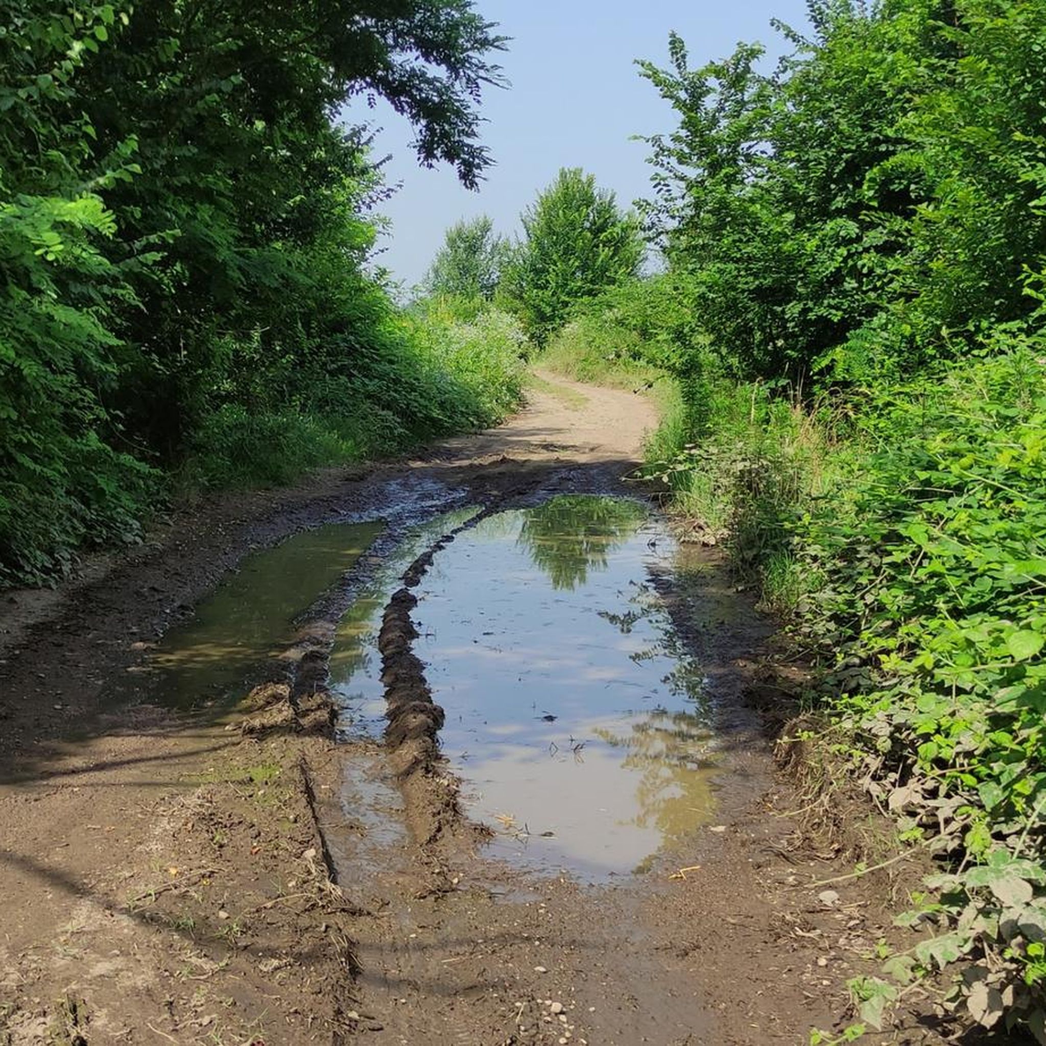
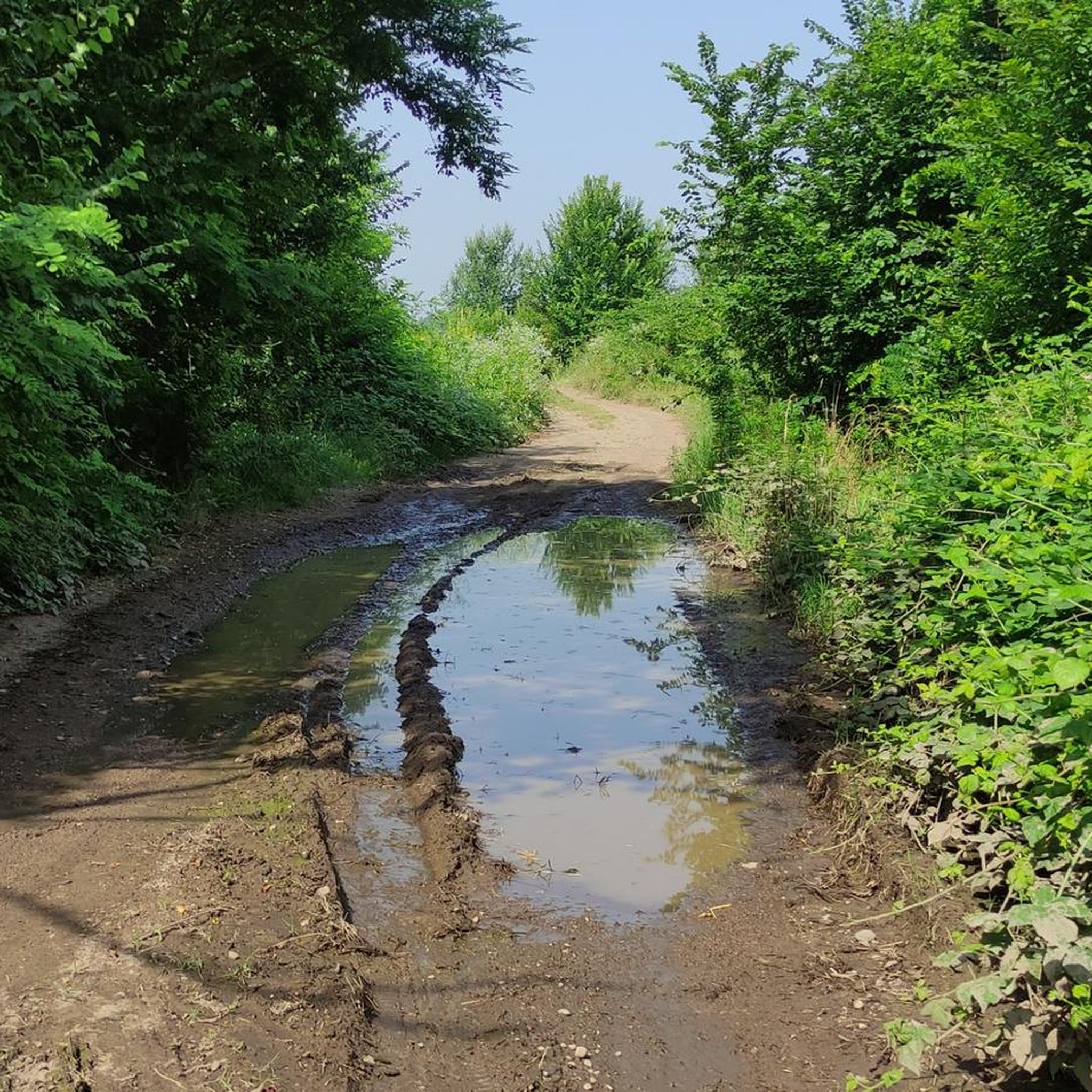
dirt road that runs alongside the Arluno branch line, well maintained.
0
0

November 2025 restoration
0
0
A very pretty square with shops and restaurants. A beautiful fountain in the center.
0
0
In the area there are two monuments in memory of the fallen
0
0


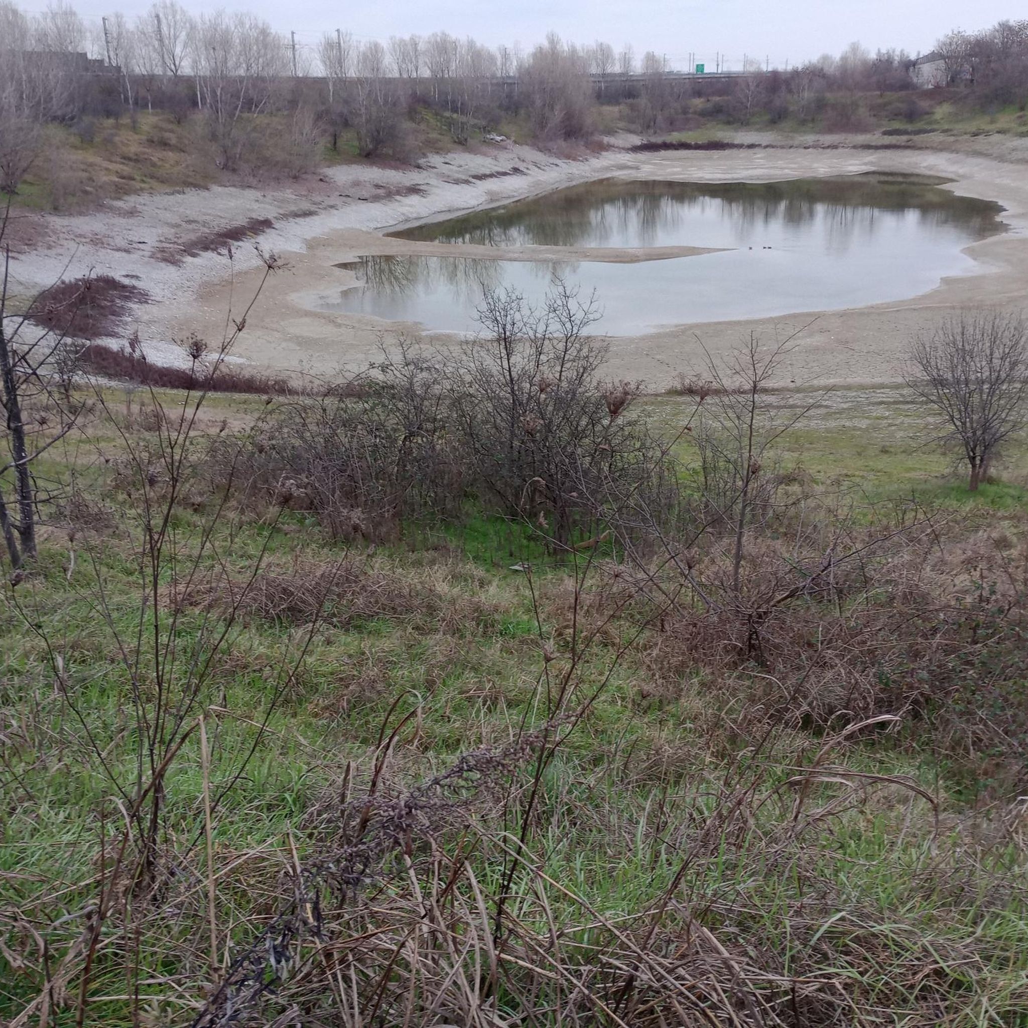
an irrigation ditch in the Roccolo park
1
3
Frequently Asked Questions
How many hiking trails are available around Vittuone?
There are over 200 hiking routes available around Vittuone, offering a wide range of options for different preferences. Most of these trails are categorized as easy or moderate, with a few more challenging options.
What is the typical terrain like for hiking near Vittuone?
The terrain around Vittuone is largely flat, characterized by agricultural areas, local forests, and established cycle paths. You'll find minimal elevation gain, making many trails accessible for various fitness levels. Routes often follow canals and pass through managed green spaces like the WWF Vanzago Forest.
Are there any easy hiking routes suitable for beginners or families?
Yes, many routes around Vittuone are easy and suitable for beginners or families. For example, the Hiking loop from Arluno is an accessible 3.6-mile (5.8 km) trail with minimal elevation. Another good option is the S. Stefano Ticino cycle path – Arluno Cycle Bridge loop from Corbetta-Santo Stefano Ticino, which is 4.4 miles (7.0 km) and follows cycle paths and waterways.
Can I bring my dog on the hiking trails around Vittuone?
While specific regulations for each trail vary, many of the paths through agricultural areas, local forests, and cycle paths are generally dog-friendly. However, if you plan to visit protected areas like the WWF Vanzago Forest, it's always best to check their specific rules regarding dogs beforehand to ensure a pleasant experience for everyone.
Are there any circular hiking routes in the Vittuone area?
Yes, several routes around Vittuone are circular. Popular options include the Hiking loop from Arluno, the WWF Vanzago Forest – WWF Oasis of Vanzago loop from Arluno, and the S. Stefano Ticino cycle path – Arluno Cycle Bridge loop from Corbetta-Santo Stefano Ticino. These loops allow you to start and end at the same point.
What natural features or landmarks can I expect to see on a hike?
Hiking around Vittuone offers glimpses of local nature and some interesting landmarks. You might encounter sections along canals, agricultural landscapes, and local woodlands. A notable natural feature is the WWF Oasis of Vanzago, a protected forest area. Other highlights in the broader vicinity include the Four Mouths river junction and various ponds and ancient trees, such as the Pond and statue at Villa Ferrario Park.
Is there public transport available to reach hiking trailheads?
Vittuone is connected by local public transport, and some trailheads may be accessible via bus or train, particularly those starting from nearby towns like Arluno or Corbetta-Santo Stefano Ticino. It's advisable to check local bus and train schedules for specific routes and stops closest to your chosen starting point.
Where can I find parking when hiking near Vittuone?
Parking availability varies depending on the trailhead. For routes starting from towns like Arluno or Corbetta-Santo Stefano Ticino, you can often find public parking in or near the town centers. For trails that venture into more rural areas, roadside parking might be an option, but it's always best to plan ahead and check for designated parking areas if available.
What is the best time of year to go hiking around Vittuone?
The best time to hike around Vittuone is generally during spring (April to June) and autumn (September to October) when the weather is mild and pleasant. Summer can be warm, but early mornings or late afternoons are still suitable. Winter hiking is possible, but some paths might be muddy or less accessible depending on recent rainfall.
Are there any cafes or places to eat near the hiking trails?
As many trails pass through or near small towns and villages like Arluno and Corbetta, you will likely find local cafes, bars, or trattorias where you can stop for refreshments or a meal. It's a good idea to check the specific route you plan to take and look for establishments in the nearby settlements.
What do other hikers say about the trails around Vittuone?
The hiking routes around Vittuone are highly rated by the komoot community, with an average score of 4.2 stars from over 290 reviews. Hikers often praise the accessibility of the trails, the peaceful rural scenery, and the opportunity to explore local forests and cycle paths away from urban bustle.
Are there any longer or more challenging hikes available?
While most trails are easy to moderate, there are options for longer walks. For instance, the WWF Vanzago Forest – WWF Oasis of Vanzago loop from Arluno is a moderate 7.0-mile (11.2 km) path that offers a longer immersion in nature. The region's low elevation means 'challenging' typically refers to distance rather than steep climbs.
What kind of wildlife might I encounter in the WWF Vanzago Forest?
The WWF Oasis of Vanzago is a protected area known for its biodiversity. While hiking through this forest, you might encounter various bird species, small mammals, and amphibians. It's a valuable natural habitat within the region, offering a chance to observe local wildlife in a managed environment.
Most popular attractions around Vittuone

Get inspired with the komoot mobile app


Explore more
Browse the best Hikes in other regions.
