The best running trails around Dolcè
4.3
(499)
19,082
runners
14
runs
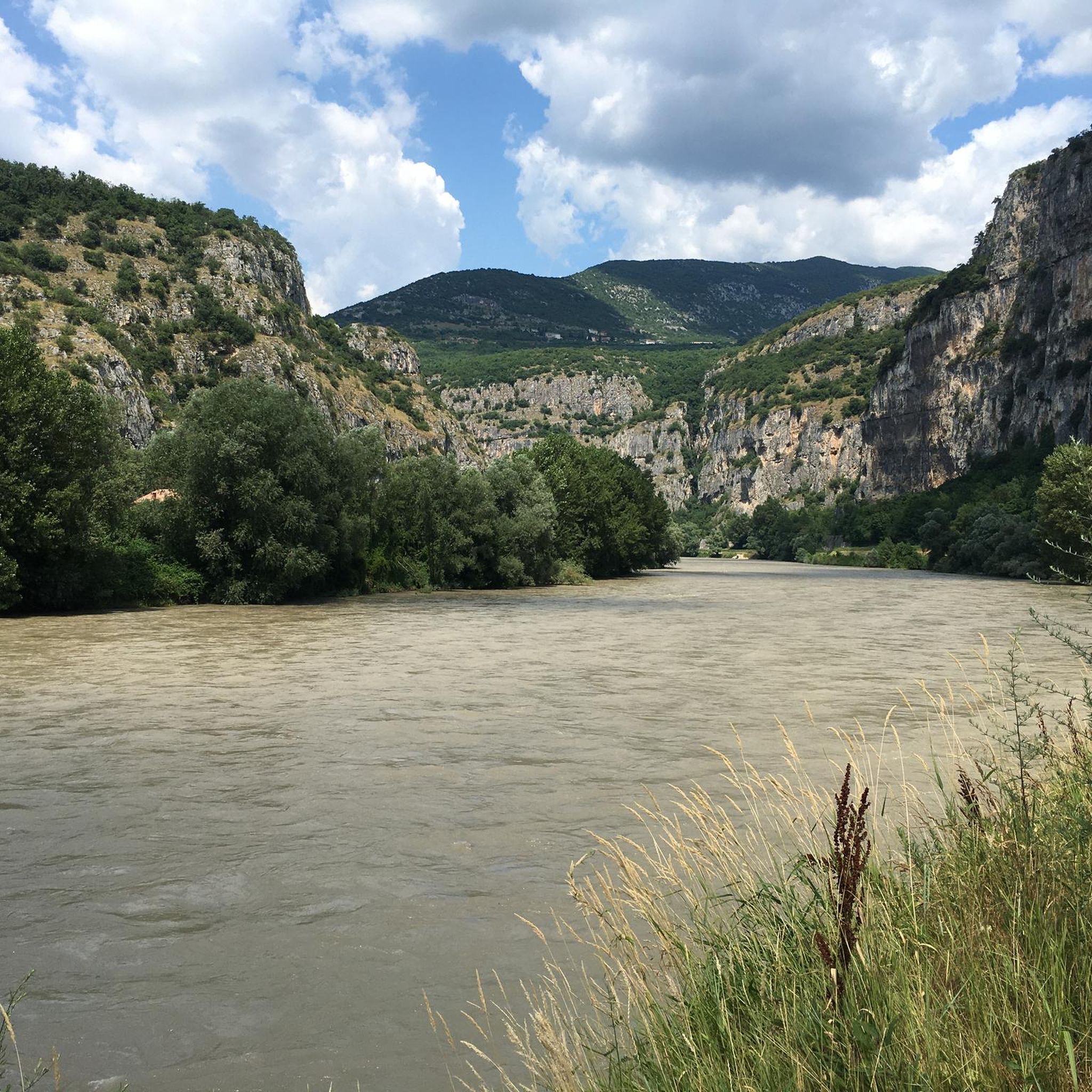
Jogging around Dolcè offers diverse routes through the Valpolicella region, characterized by rolling hills, river valleys, and vineyards. The area provides a mix of challenging ascents and gentler paths along waterways, making it suitable for various fitness levels. Many jogging routes Dolcè with parking are available, providing convenient access to the trails. The landscape transitions from cultivated areas to more rugged, forested terrain, offering varied scenery for runners.
Best jogging routes around Dolcè
- The most popular jogging route is San…
Last updated: August 15, 2026
111
runners
17.8km
01:53
200m
200m
Hard run. Very good fitness required. Mostly paved surfaces. Suitable for all skill levels.
4.5
(11)
79
runners
8.83km
00:58
150m
150m
Moderate run. Good fitness required. Mostly paved surfaces. Suitable for all skill levels.

Sign up for free
103
runners
17.3km
01:51
200m
200m
Hard run. Very good fitness required. Mostly paved surfaces. Suitable for all skill levels.
30
runners
15.3km
01:55
440m
440m
Hard run. Very good fitness required. Mostly accessible paths. Some sure footedness required.
5.0
(2)
30
runners
5.77km
00:39
120m
120m
Moderate run. Good fitness required. Mostly paved surfaces. Suitable for all skill levels.
Get access to more routes and recommendations from other explorers.
Sign up for free
Already have an account?
Our route recommendations are based on thousands of hikes, rides, and runs completed by other people on komoot.
Start today with a free account
Your next adventure awaits.
Login or Signup


Other adventures around Dolcè

Tips from the Community

Particularly quiet section (the train is in the tunnel at this point and the roads are behind the mountain)
0
0

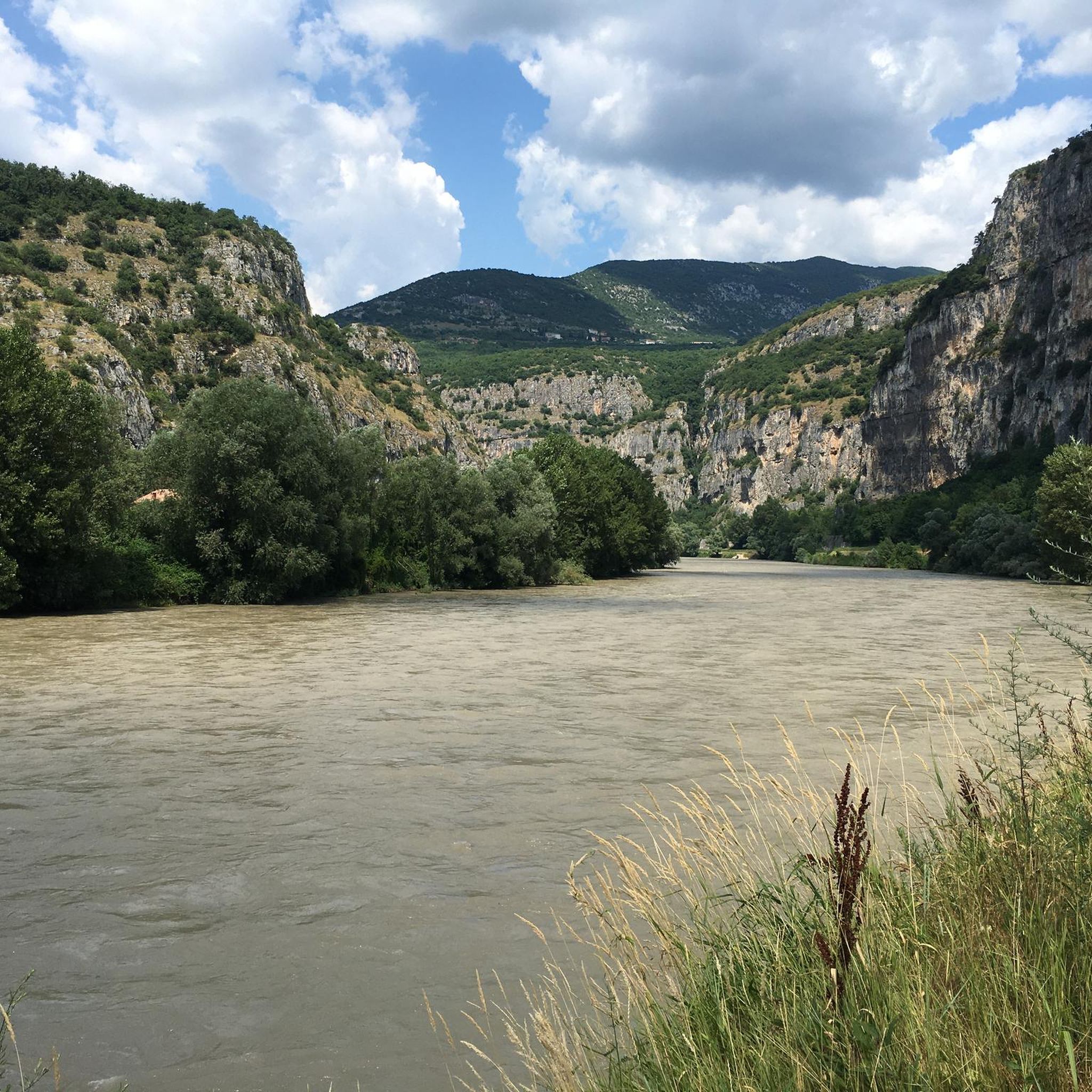
We follow a stretch of the Adige, the second longest river in Italy. Shortly before Verona, the waters wind their way through the steep rock faces.
0
0


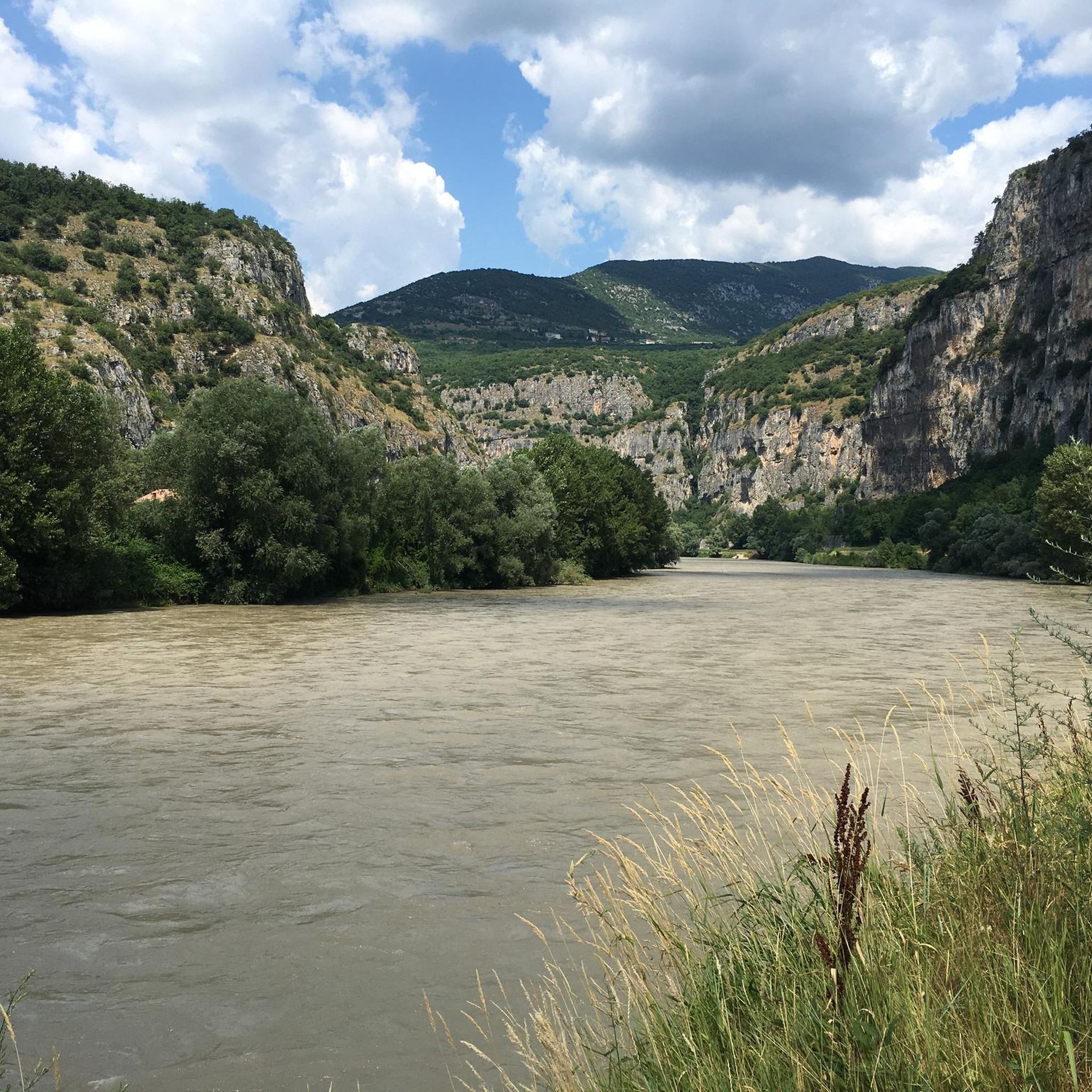
At its end, the Lagarina valley drastically narrows its slopes and forms the Chiusa di Ceraino. In just over 100 meters of width, the Adige and the state road that leads to Trento pass. After the locks, the Adige flows into the plain and the landscape opens up rapidly.
0
0
At its end, the Lagarina valley drastically narrows its slopes and forms the Chiusa di Ceraino. In just over 100 meters of width, the Adige and the state road that leads to Trento pass. After the locks, the Adige flows into the plain and the landscape opens up rapidly.
0
0

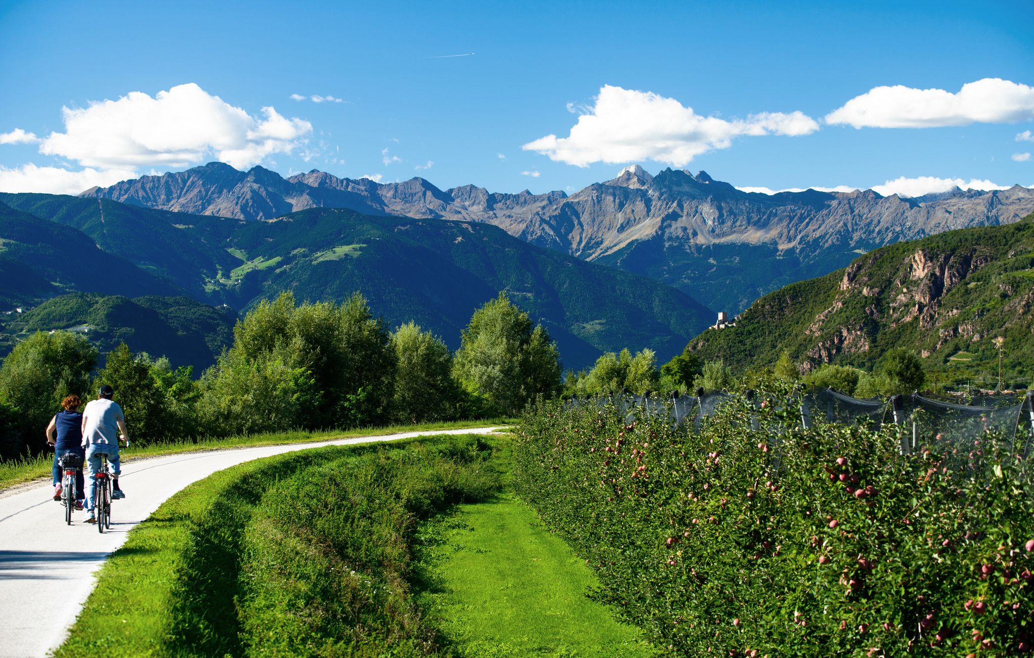
This well-maintained bike path is perfect for riding along the Adige. The name "Terra dei Forti" (Land of the Forts) seems to derive from the wine district that the path passes through, between the slopes of Monte Baldo and the Monti Lessini. Not far from here is the charming center of Rivoli Veronese, which gives its name to the famous Parisian street of Rue de Rivoli.
0
0


This spectacular dirt road, between the mountain and the entrance to the state road, near the Colombarin area, allows you to have a lot of fun. It is very compact and the wheels slide which is a pleasure.
3
0
Frequently Asked Questions
How many running routes are available around Dolcè?
There are over 500 running routes around Dolcè, offering a wide variety of options for different fitness levels and preferences. You'll find everything from gentle canal-side paths to challenging hill climbs through the Valpolicella region.
What kind of terrain can I expect on running trails in Dolcè?
Running routes in Dolcè feature diverse terrain, including rolling hills, scenic river valleys, and vineyards. You'll encounter a mix of challenging ascents and gentler paths along waterways, transitioning from cultivated areas to more rugged, forested landscapes.
Are there easy running paths suitable for beginners in Dolcè?
Yes, Dolcè offers 38 easy running routes perfect for beginners or those looking for a gentler pace. An example is the Canale Biffis loop from Domegliara - Sant'Ambrogio, which follows flat terrain alongside the canal.
Where can I find more challenging or advanced running trails near Dolcè?
For advanced runners seeking a challenge, Dolcè has 169 difficult routes. The San Giorgio of Valpolicella – San Giorgio di Valpolicella loop from Domegliara - Sant'Ambrogio is a demanding 18.8-mile trail with significant elevation gain through the Valpolicella hills. Another option is the Running loop from Fosse, which climbs through forested areas offering panoramic views.
Are there circular running routes available in Dolcè?
Yes, many running routes in Dolcè are circular, allowing you to start and finish at the same point. The Grotta del Ciabattino loop from Tommasi is a challenging 7.6 km circular route, and the Canale Biffis loop from Domegliara - Sant'Ambrogio offers a moderate 9.5 km loop.
What do other runners enjoy most about jogging in Dolcè?
The running trails in Dolcè are highly rated by the komoot community, with an average score of 4.4 stars from over 500 reviews. Runners often praise the diverse scenery, which includes river paths, vineyard-covered hills, and forested slopes, as well as the variety of routes catering to all ability levels.
Are there any scenic viewpoints or attractions along the running routes in Dolcè?
Yes, the region around Dolcè offers several scenic viewpoints and attractions. While running, you might encounter views of Lake Garda from La Rocca di Garda or Monte Baldo. There are also various trails like the Val Sorda Trail that offer interesting natural features.
Are there running routes in Dolcè with convenient parking access?
Yes, many jogging routes around Dolcè offer convenient parking. The region is well-equipped with parking facilities near trailheads, making it easy to access the diverse network of paths through the Valpolicella hills and river valleys.
Can I access running trails in Dolcè using public transport?
While specific public transport details for each trailhead vary, Dolcè and surrounding towns like Domegliara - Sant'Ambrogio are generally accessible by local bus services. It's advisable to check local bus schedules for routes that connect to your desired starting points.
What is the best time of year for jogging in Dolcè?
Spring and autumn are generally the best times for jogging in Dolcè, offering pleasant temperatures and vibrant scenery. Summer can be warm, especially in the valleys, so early mornings or late evenings are preferable. Winter jogging is possible, particularly on lower elevation paths, but some higher trails might be affected by snow or ice.
Are there any long-distance running trails near Dolcè?
For long-distance runners, Dolcè provides several extensive options. The San Giorgio of Valpolicella – San Giorgio di Valpolicella loop from Domegliara - Sant'Ambrogio is a significant 18.8-mile (30.2 km) trail, offering a substantial challenge for endurance runners.
Are there any hidden gem running paths in Dolcè?
While specific 'hidden gems' are often discovered by individual exploration, the region's extensive network of trails means there are always less-traveled paths. Exploring the smaller, unnamed trails branching off main routes, especially in the forested areas, can lead to unique discoveries away from the more popular spots.
Most popular attractions around Dolcè

Get inspired with the komoot mobile app


Explore more
Browse the best Running Trails & Routes in other regions.
