The best walks and hikes around Brentino Belluno
4.5
(13717)
66,747
hikers
12
hikes
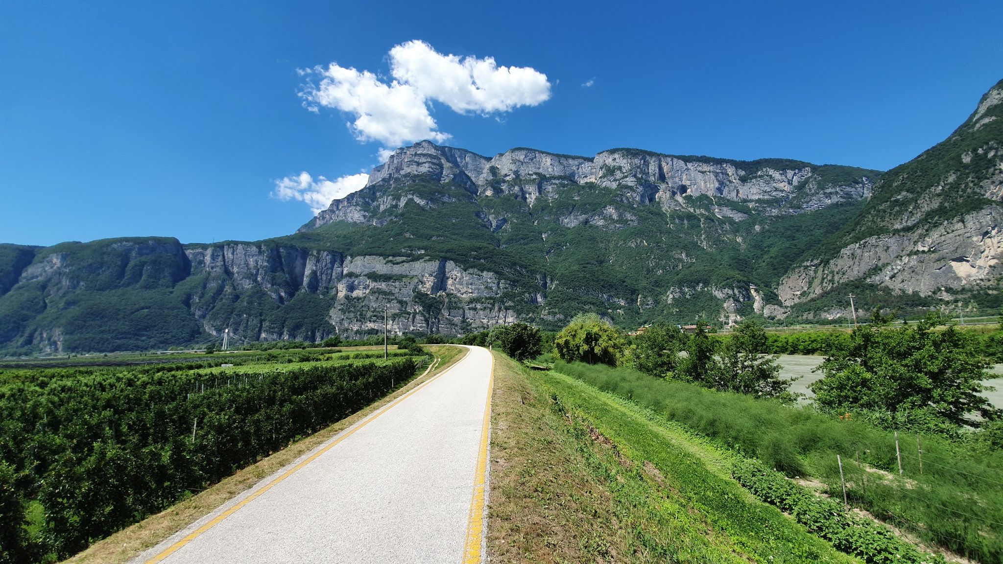
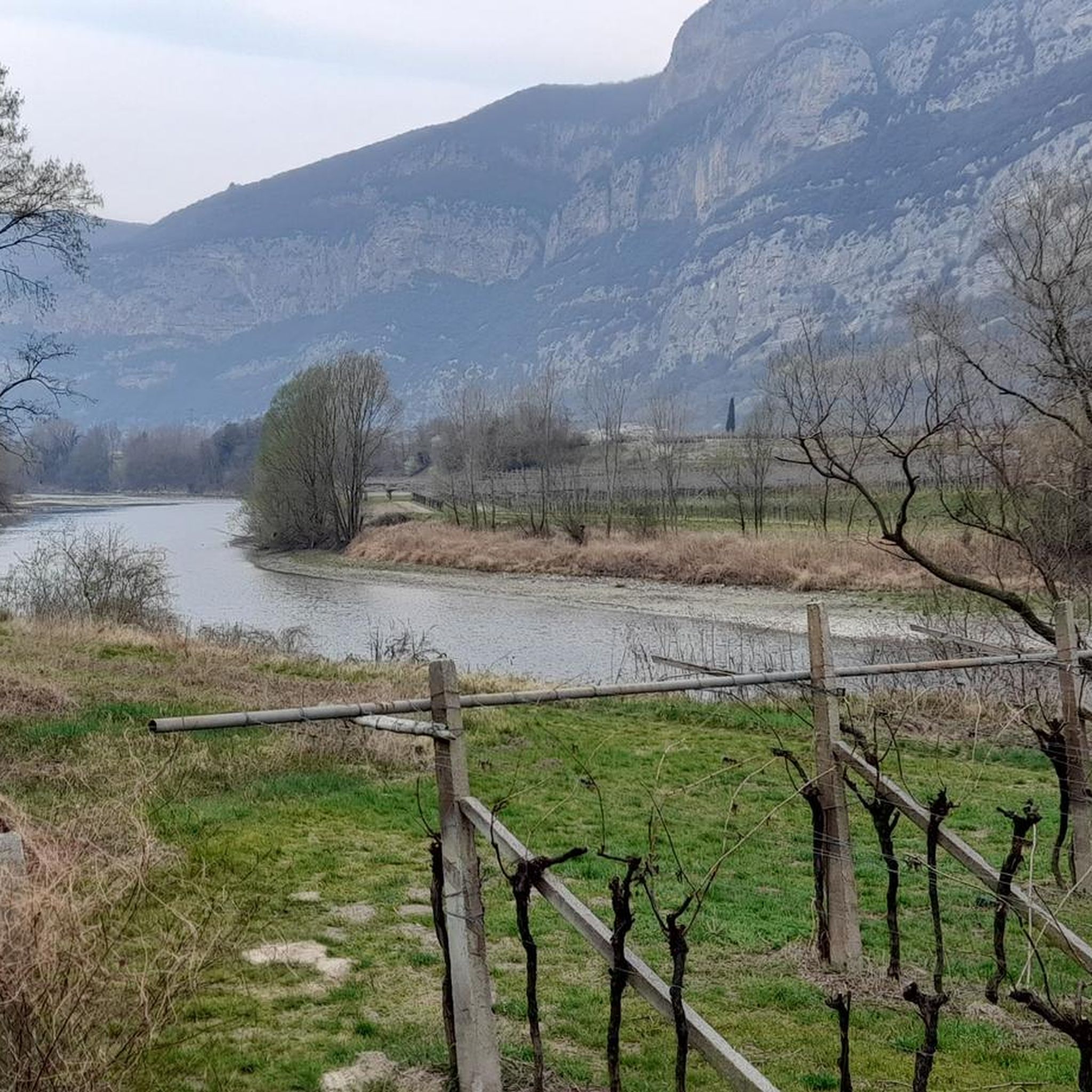
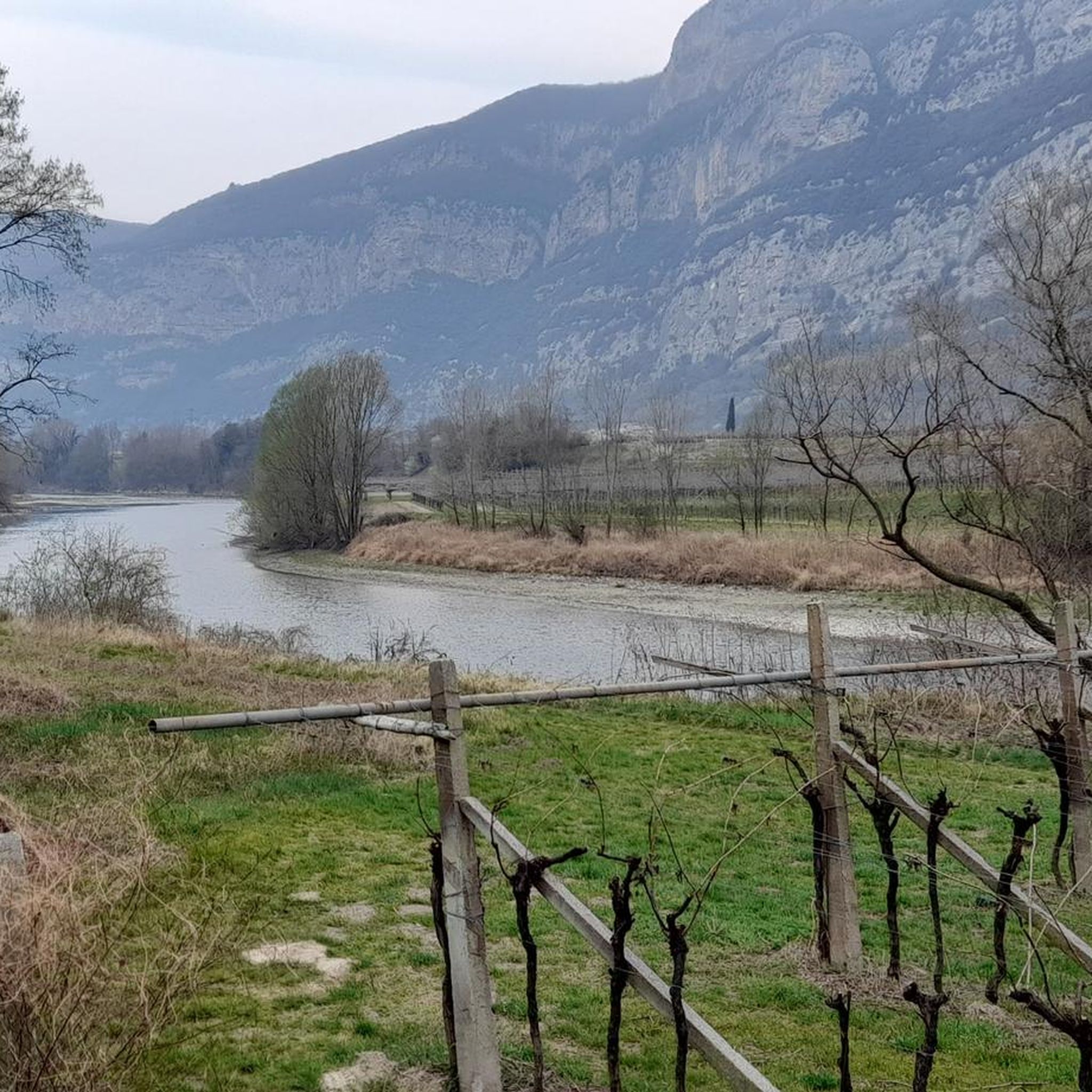
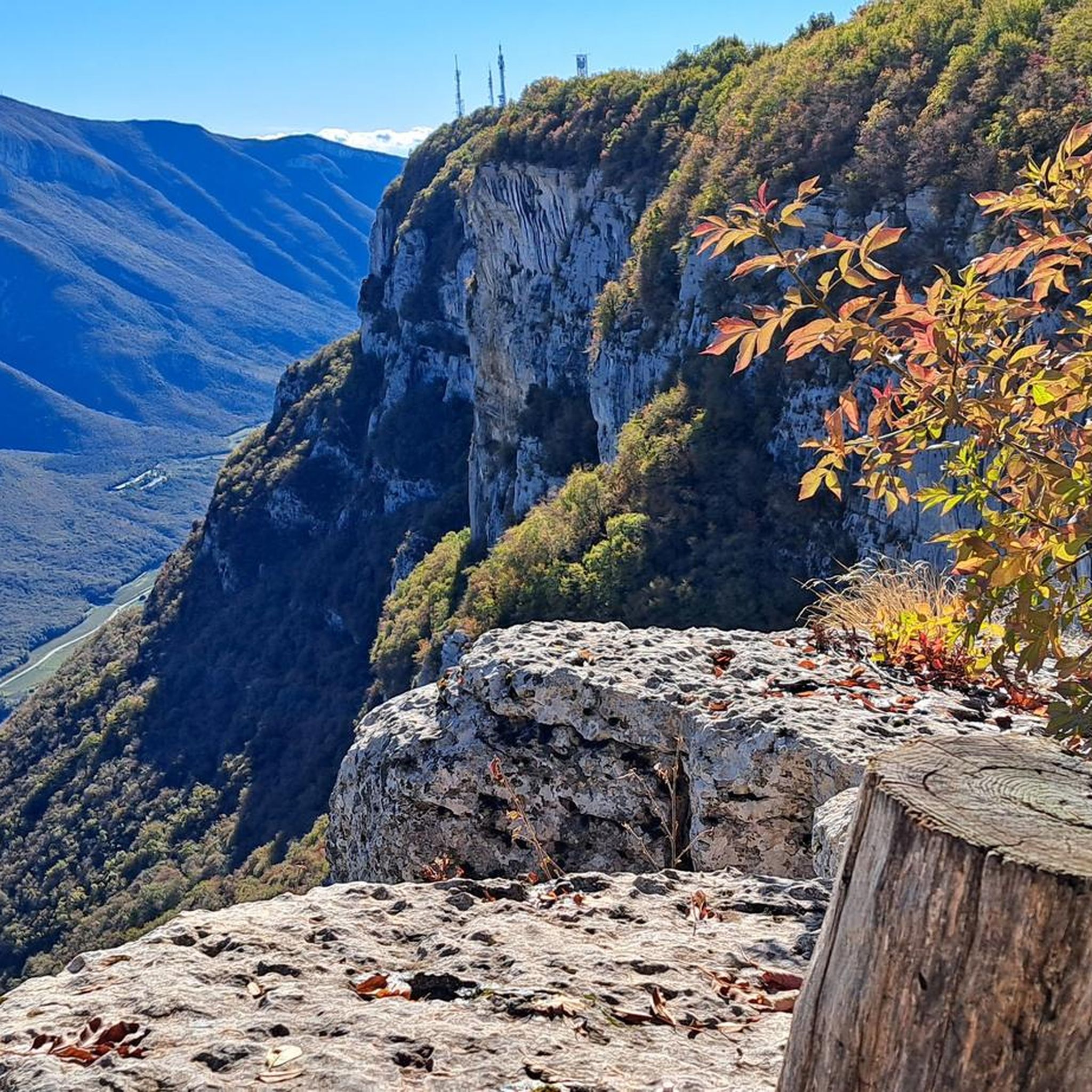
Hiking around Brentino Belluno offers diverse landscapes, situated between the mountainous regions of Monte Baldo and Lessinia, and touched by the Adige River. The area features green hills, challenging mountainous terrain, and the dramatic Vajo dell'Orsa canyon. This unique geographical position in the Province of Verona provides a blend of natural beauty and varied hiking opportunities.
Best hiking trails around Brentino Belluno
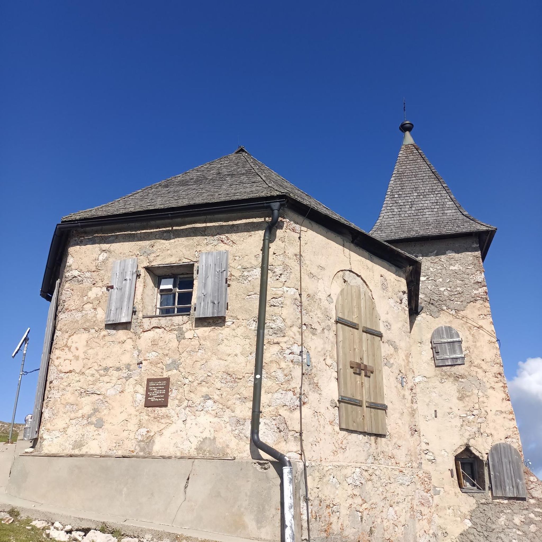
- The most popular hiking route is Madonna della Corona Loop via Vajo dell'Orsa, a 5.6 miles (9.0 km) trail that takes 4 hours 36 minutes to complete. This difficult route includes significant elevation gain and passes by the Sanctuary of Madonna della Corona.
- Another top favourite among local hikers is Trail of Hope loop from Brentino, a moderate 4.7 miles (7.5 km) path. This trail, also known as "Sentiero della Speranza," offers scenic views and can be connected to the Tibetan Bridge in Brentino.
- Local hikers also love the Monte Castelcucco Loop Trail, an 8.8 miles (14.1 km) trail leading through mountainous terrain, often completed in about 6 hours 20 minutes.
- Hiking around Brentino Belluno is defined by mountainous terrain, the Adige River valley, and the Vajo dell'Orsa canyon. The network offers options for different ability levels, from moderate paths to difficult mountaineering routes.
- The routes in Brentino Belluno are highly rated by the komoot community with an average score of 4.5 stars from over 12,000 reviews. More than 63,000 hikers have used komoot to explore Brentino Belluno's varied terrain.
Last updated: October 10, 2026
4.6
(230)
979
hikers
8.96km
04:37
730m
730m
Hard hike. Good fitness required. Sure-footedness, sturdy shoes and alpine experience required.
8
hikers
12.3km
05:18
740m
740m
Hard hike. Very good fitness required. Sure-footedness, sturdy shoes and alpine experience required.

5.0
(2)
4
hikers
11.6km
05:47
1,220m
1,220m
Hard hike. Very good fitness required. Sure-footedness, sturdy shoes and alpine experience required.
5.0
(1)
3
hikers
14.1km
06:21
930m
930m
Hard hike. Very good fitness required. Mostly accessible paths. Sure-footedness required.
4.7
(293)
1,679
hikers
6.55km
03:42
680m
680m
Moderate hike. Good fitness required. Mostly accessible paths. Sure-footedness required.
Get access to more routes and recommendations from other explorers.
Already have an account?
Our route recommendations are based on thousands of hikes, rides, and runs completed by other people on komoot.
Start today with a free account
Your next adventure awaits.
Popular around Brentino Belluno

Other adventures around Brentino Belluno

Tips from the Community

Bel passo che porta tramite una strada forestale in foresta di faggio all'Orto Botanico. Bel panorama sulla bassa val d'Adige, monti Lessini e verso Verona
0
0

The path there is partially exposed and unsecured, only for sure-footed hikers. Not suitable for small children
0
0

Yes, too bureaucratic to v h ju kzUiizuk
0
0

Must do at least once
0
0

Beautiful place with great carvings right by the stream.
5
1
Super nice little place with great streets.
5
0

Very nice climb and view of the valley.
0
0
Frequently Asked Questions
How many hiking trails are available in Brentino Belluno?
Brentino Belluno offers a diverse network of 12 hiking trails, catering to various skill levels. These routes traverse the unique landscape between Monte Baldo and Lessinia, often following the Adige River valley.
Are there any easy or moderate hiking options in Brentino Belluno?
Yes, while the region is known for its challenging routes, there are 5 moderate trails available. A great option is the Trail of Hope loop from Brentino, a 4.7-mile path offering scenic views and connections to the Tibetan Bridge.
What are the most challenging hikes in Brentino Belluno?
Brentino Belluno is home to 7 difficult hiking routes, many involving significant elevation gain. For experienced hikers, the Brentino - Ferrara di Monte Baldo Trail is a demanding 7.6-mile journey, while the From Belluno Veronese to Passo del Cerbiolo (via Route 678) offers an even greater ascent over 7.2 miles.
Are there any circular hiking routes in the area?
Many trails in Brentino Belluno are designed as loops, allowing you to start and end in the same location. The Monte Castelcucco Loop Trail is a popular 8.8-mile option that takes you through mountainous terrain.
What natural attractions or landmarks can I see while hiking?
The region is rich in natural beauty and historical sites. You can explore the dramatic Vajo dell'Orsa canyon, or visit the famous Sanctuary of Madonna della Corona, miraculously built into the rock face. For stunning vistas, look for viewpoints like View of Malcesine and Lake Garda or View of Lake Garda from Monte Baldo.
Are there any waterfalls to see on the trails?
Yes, the region's rugged landscape includes impressive water features. The Preafessa Waterfall is a notable natural highlight, often encountered on more challenging mountaineering routes. You can also find the Val Sorda Gorge and Waterfalls nearby.
What is the best time of year to go hiking in Brentino Belluno?
The spring and autumn months generally offer the most pleasant hiking conditions with mild temperatures and vibrant scenery. Summer can be warm, especially in the valleys, while winter hikes are possible but may require specific gear and experience, particularly on higher or more exposed routes.
What do other hikers enjoy most about Brentino Belluno?
The area is highly rated by the komoot community, with an average score of 4.5 stars from over 12,000 reviews. Hikers frequently praise the diverse landscapes, from the Adige River valley to the challenging mountainous terrain, and the dramatic Vajo dell'Orsa canyon.
Are there any historical trails in Brentino Belluno?
Yes, for those interested in history, the Peace Trail (Sentiero della Pace) traverses old fortifications and trenches from the Alpine War (World War I), offering a poignant journey through the region's past.
Is there public transport available to reach hiking trailheads?
Brentino Belluno is accessible, but public transport options to specific trailheads can vary. It's advisable to check local bus schedules or consider driving, as many routes start from the town or nearby villages where parking may be available.
Can I find places to eat or stay near the hiking routes?
The town of Brentino Belluno and surrounding areas offer various amenities for hikers, including cafes, pubs, and accommodation options. These can be found in the main settlements, providing convenient stops before or after your hike.
Most popular routes around Brentino Belluno
Most popular attractions around Brentino Belluno

Get inspired with the komoot mobile app


Explore more
Browse the best Hikes in other regions.
