The best MTB trails around Torrevecchia Pia
4.3
(326)
1,488
riders
161
rides
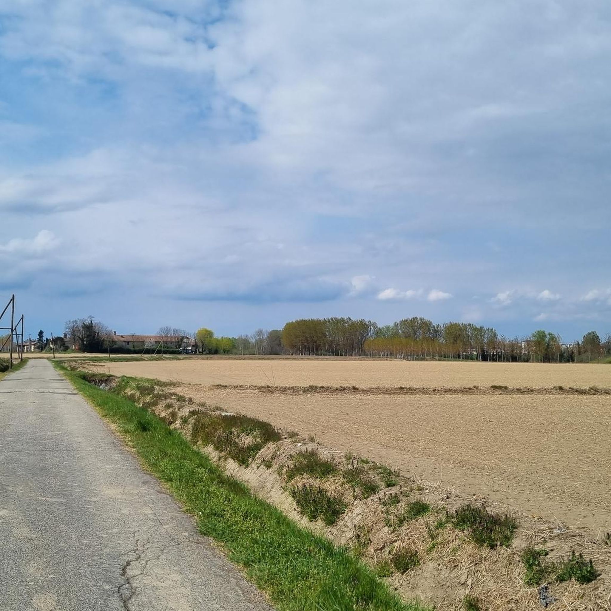
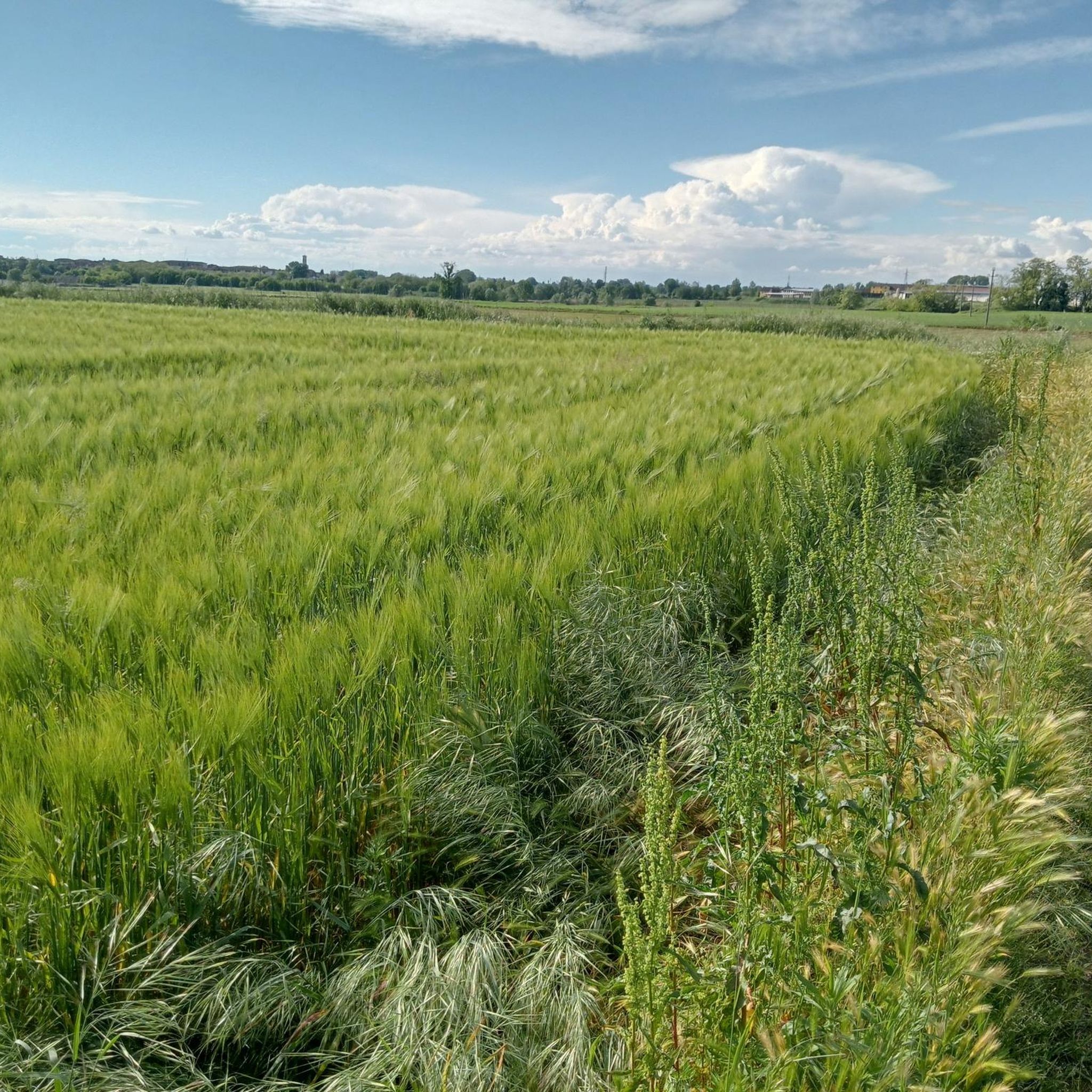
Mountain bike trails around Torrevecchia Pia are predominantly flat, traversing agricultural lands, local parks, and riverine areas. The region is characterized by low elevation gains, making it suitable for accessible cycling. Routes often connect small towns and natural reserves, providing a mix of cultural and natural scenery. The terrain consists mainly of dirt roads and paths, offering a generally low technical difficulty.
Best mountain bike trails around Torrevecchia Pia
- The most popular mountain bike trail is Vernavola Park – Vernavola…
Last updated: August 25, 2026
4.5
(2)
13
riders
33.8km
02:05
70m
70m
Moderate mountain bike ride. Good fitness required. Advanced riding skills necessary.
4.7
(3)
10
riders
46.2km
03:05
120m
120m
Moderate mountain bike ride. Good fitness required. Advanced riding skills necessary.

Sign up for free
5.0
(1)
7
riders
39.9km
02:31
110m
110m
Moderate mountain bike ride. Good fitness required. Advanced riding skills necessary.
4.0
(2)
5
riders
14.1km
00:48
20m
20m
Easy mountain bike ride. Great for any fitness level. Suitable for all skill levels.
4.3
(3)
5
riders
Moderate mountain bike ride. Good fitness required. Advanced riding skills necessary.
Get access to more routes and recommendations from other explorers.
Sign up for free
Already have an account?
Our route recommendations are based on thousands of hikes, rides, and runs completed by other people on komoot.
Start today with a free account
Your next adventure awaits.
Login or Signup

Tips from the Community

It is a tour immersed in nature, very beautiful both in summer and in winter, it allows you to walk on well-marked and easily passable paths while enjoying a very suggestive natural panorama.
0
0

A fantastic dirt bike path that could be explored later, perhaps with greenery and without the puddles that were present today.
0
0

Vernavola Park is a protected natural area and wildlife sanctuary located in the municipality of Pavia, its largest green space. The park, covering approximately 35 hectares, takes its name from the Roggia Vernavola, a small watercourse approximately 15 km long and a tributary of the Ticino River, which meanders through the park. Established in 1985 and recognized by the Lombardy Region as a nature reserve within the Lombardy Ticino Valley Park, the park has been expanded in subsequent years and equipped with a children's playground, bike paths, and benches. It is home to a riding stable and the Colombara farmhouse, where visitors can observe farm animals and a small museum on rural life. During the winter months (2008), a water meadow ecosystem was recreated in the area between the farmhouse and the canal.
0
0

Be careful of the tall grass covering the trail
1
0

Beautiful and very popular city park
0
0
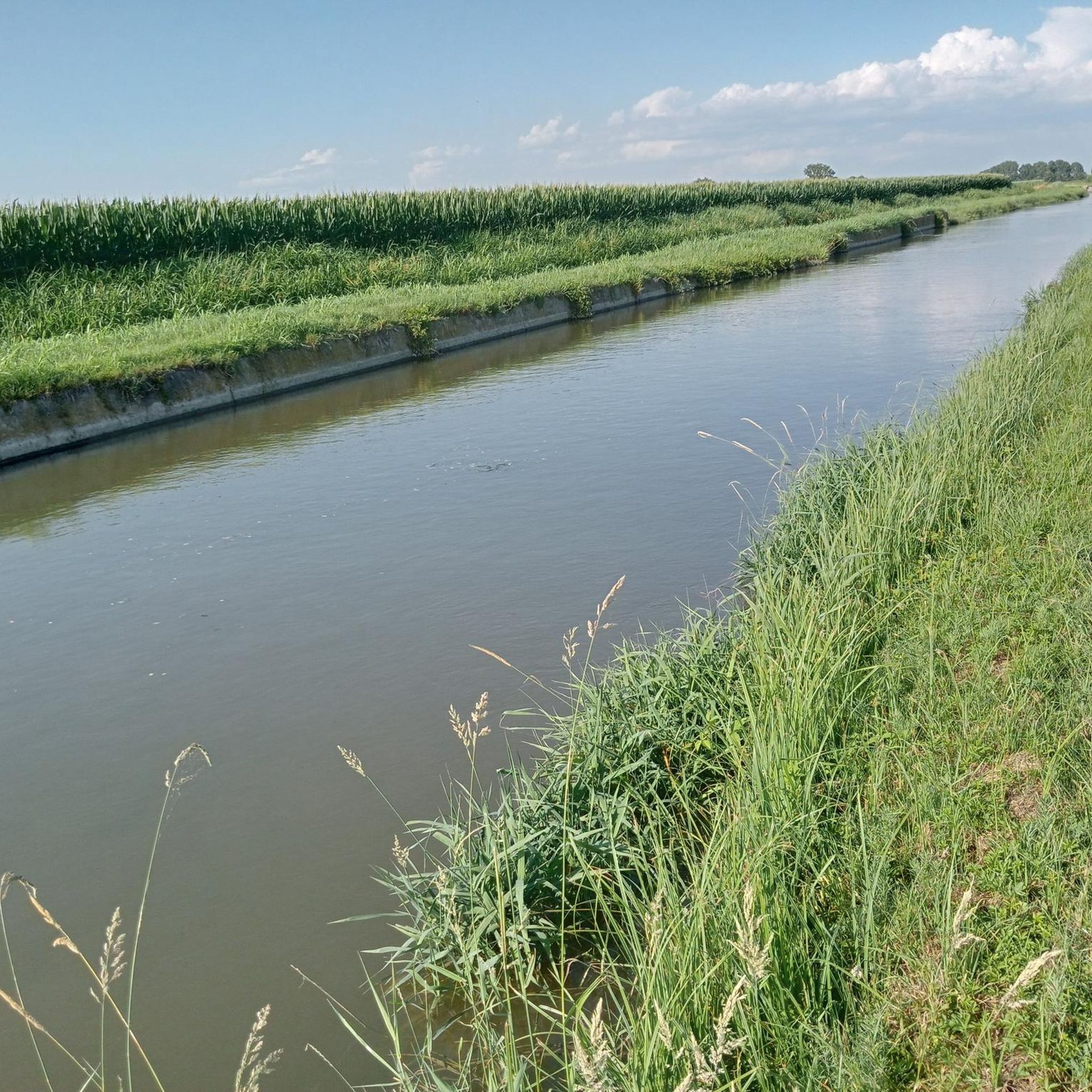
Typical place of the Lombardy plain in a protected and easy path. Accessible to everyone.
0
0

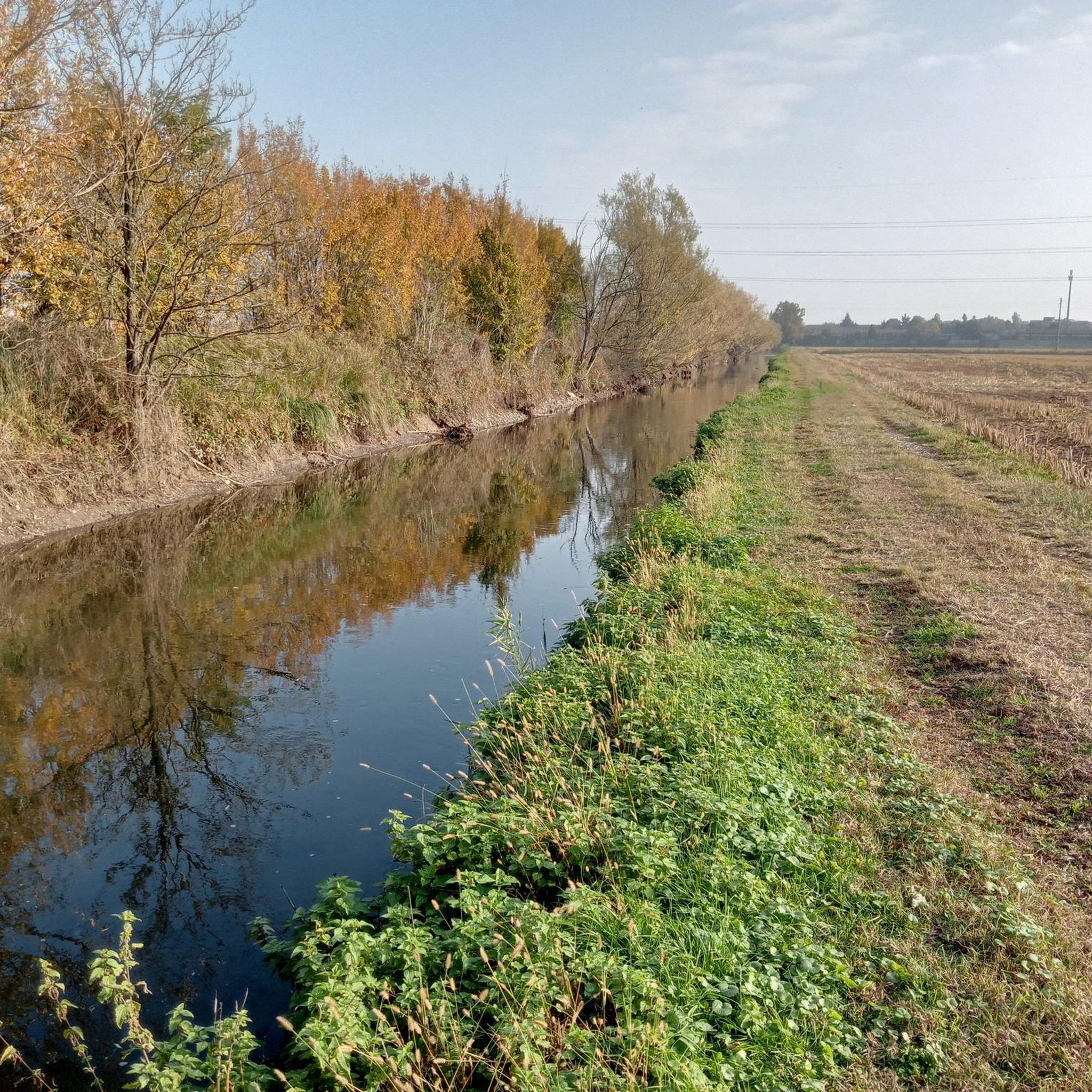
In this small city park there are some paths perfect for walking or cycling in complete tranquility in the urban greenery. The park is crossed by the Vernavola canal, and there is also a small pond.
0
0

Frequently Asked Questions
How many mountain bike trails are there around Torrevecchia Pia?
There are over 160 mountain bike trails around Torrevecchia Pia. The region offers a wide variety of routes, with 59 easy trails, 102 moderate trails, and 5 more challenging options for experienced riders.
What do other mountain bikers say about the trails in Torrevecchia Pia?
The mountain bike trails in Torrevecchia Pia are highly rated by the komoot community, with an average score of 4.1 stars from over 260 reviews. More than 1400 mountain bikers have explored the area, often praising the flat agricultural landscapes, local parks, and riverside paths.
Are there easy mountain bike trails suitable for beginners in Torrevecchia Pia?
Yes, Torrevecchia Pia is an excellent region for beginners and those seeking easy rides. The area is predominantly flat with low elevation gains. You'll find 59 easy trails, such as the Church of Saint Martin the Bishop – Melegnano Castle loop from Carpiano, which is 21.6 miles long and connects historical landmarks.
Are there any challenging mountain bike trails for advanced riders in Torrevecchia Pia?
While the region is known for its generally flat terrain, there are 5 trails classified as difficult for those seeking a greater challenge. These routes may feature longer distances or more technical sections, though significant elevation gain is rare in this area.
What is the typical length of mountain bike trails in Torrevecchia Pia?
Trail lengths vary, but many popular routes range from 13 to over 26 miles. For example, the Linate Airport Radar Tower – Melegnano Road Intersection loop from Cerro al Lambro is 13.2 miles, while the Old Water Wheel of Settimo – Oasi di Sant'Alessio loop from Bornasco extends to 26.6 miles.
Can I find circular mountain bike routes in Torrevecchia Pia?
Yes, many mountain bike routes in Torrevecchia Pia are designed as loops, allowing you to start and end at the same point. Examples include the popular Vernavola Park – Vernavola Trail loop from Vidigulfo and the shorter Villa Bell'epoque loop from Vidigulfo.
What kind of scenery can I expect on mountain bike trails around Torrevecchia Pia?
You can expect a mix of scenery, including flat agricultural lands, local parks, and riverine areas. Routes often connect small towns and offer views of the surrounding countryside. The low elevation gains make for accessible cycling through varied cultural and natural landscapes.
When is the best time of year to go mountain biking in Torrevecchia Pia?
The best time for mountain biking in Torrevecchia Pia is generally during spring and autumn when temperatures are mild and the weather is pleasant. Summer can be warm, while winter rides are possible due to the flat terrain, though some paths might be muddy after rain.
Are there any scenic viewpoints or notable landmarks along the mountain bike trails?
Yes, the trails often pass by or near historical sites and natural reserves. You might encounter landmarks such as the Melegnano Castle, the Rocca Brivio, or the Certosa of Pavia (Charterhouse of Pavia), offering interesting stops along your ride.
What historical sites or attractions can I explore while mountain biking in Torrevecchia Pia?
The region is rich in history. You can explore various religious buildings and castles. Notable attractions include the magnificent Certosa of Pavia, the Sanctuary of Santa Maria ad Fontem, and several castles like Bolognini Castle of Sant'Angelo Lodigiano and Melegnano Castle.
Are the mountain bike trails in Torrevecchia Pia suitable for families?
Absolutely. Given the predominantly flat terrain and low elevation gains, many trails are well-suited for families. The numerous easy and moderate routes, often passing through parks and connecting small towns, provide a safe and enjoyable experience for riders of all ages.
Are there mountain bike trails with parking available?
Most mountain bike trails in the Torrevecchia Pia area start from towns or villages where public parking is generally available. When planning your route on komoot, you can check the starting point of the tour for specific parking information or look for routes that begin near accessible areas.
Most popular routes around Torrevecchia Pia
Most popular attractions around Torrevecchia Pia

Get inspired with the komoot mobile app


Explore more
Browse the best MTB trails in other regions.
