The best walks and hikes around Filighera
4.2
(101)
431
hikers
45
hikes
Hiking around Filighera offers routes through the flat, agricultural landscapes of the Lombardy region, often following historical paths and riverine areas. The terrain is generally level, with minimal elevation changes, making it accessible for various activity levels. The area features a network of trails connecting small towns and rural settings.
Best hiking trails around Filighera
- The most popular hiking route is Vaccarizza Loop Trail, a 7.0 miles (11.3 km) trail that takes about 2 hours 50 minutes to complete,…
Last updated: August 11, 2026
3.9
(17)
93
hikers
16.2km
04:08
30m
50m
Moderate hike. Good fitness required. Easily-accessible paths. Suitable for all skill levels.
2
hikers
11.3km
02:53
30m
30m
Moderate hike. Good fitness required. Easily-accessible paths. Suitable for all skill levels.

Sign up for free
4.1
(9)
27
hikers
8.98km
02:18
40m
40m
Moderate hike. Good fitness required. Easily-accessible paths. Suitable for all skill levels.
5
hikers
5.90km
01:29
10m
10m
Easy hike. Great for any fitness level. Easily-accessible paths. Suitable for all skill levels.
4
hikers
10.4km
02:38
30m
30m
Moderate hike. Good fitness required. Easily-accessible paths. Suitable for all skill levels.
Get access to more routes and recommendations from other explorers.
Sign up for free
Already have an account?
Our route recommendations are based on thousands of hikes, rides, and runs completed by other people on komoot.
Start today with a free account
Your next adventure awaits.
Login or Signup


Tips from the Community

The village was built in the fourteenth century and developed around the castle. Belgioioso is located in the southern Pavese area, not far from the left bank of the Po and has a recent origin compared to the other towns (2011) of the province. According to popular tradition, Brüsacrist was the nickname given to the inhabitants in the past, in connection with the popular uprising of 1776 against the Curia of Pavia, which was delayed in appointing a new priest. The village was built in the fourteenth century and developed around the castle. Since 1986, Belgioioso has hosted every year "Officinalia", the market exhibition of organic food and household ecology. https://www.viefrancigene.org/it/resource/poi/belgioioso/
3
0
The church of San Michele Arcangelo is in an excellent state of conservation thanks to recent restorations. The façade shows a typical style of the 17th century and is divided into two parts by a horizontal brick frame. At the bottom, there are three portals flanked by slender pilasters. Above the central portal is a fresco dedicated to the saint. The upper half is framed by two curly volutes and two hollow niches that enclose a central window. The façade is crowned by a slightly projecting tympanum with a cross and three columns. The colours of the façade, a delicate balance between white and brown, give a foretaste of the opulence and wealth inside.
6
0
The Castello di Belgioioso, has a rich and fascinating history. The castle was originally built in the 14th century by the Belgioioso family. It served as a fortified residence to protect the surrounding area and as a symbol of power and prestige. In the 16th century, the castle underwent important renovations and extensions. The architecture was influenced by the Renaissance style, with elegant loggias, arcades and beautiful frescoes. In the 18th century, Antonio Barbiano obtained the elevation of Belgioioso to a principality in 1796 and expanded and rebuilt the medieval castle, enriched with extensive gardens and greenhouses in neoclassical style by the architect Leopold Pollack. In the 19th century, the castle became a meeting place for artists, writers and philosophers. It was a breeding ground for creativity and intellectual exchange. Today, the Castle of Belgioioso is managed by the Ente Fiera dei Castelli di Belgioioso e Sartirana. It organizes exhibitions and events that highlight the history, art and culture of the region.
6
0

Place of cultural, artistic, historical and tourist interest Via Dante Alighieri, 1, 27011 Belgioioso PV https://www.belgioioso.it/ 0382970525
2
0
The Parco del Ticino is a beautiful nature reserve that extends across the regions of Lombardy and Piedmont in Italy. The Ticino River extends for a total length of 248 kilometers, from the Passo di Novena in Switzerland to its confluence with the Po. Within the park, the stretch from Sesto Calende (VA) to the Ponte della Becca (PV) covers a length of 110 kilometers. The park is crossed by more than 750 kilometers of cycling and walking paths, of which more than 100 kilometers are along the banks of the canals.
2
0
Place of worship and prayer Via Giuseppe Garibaldi, 27011 Belgioioso PV
3
0

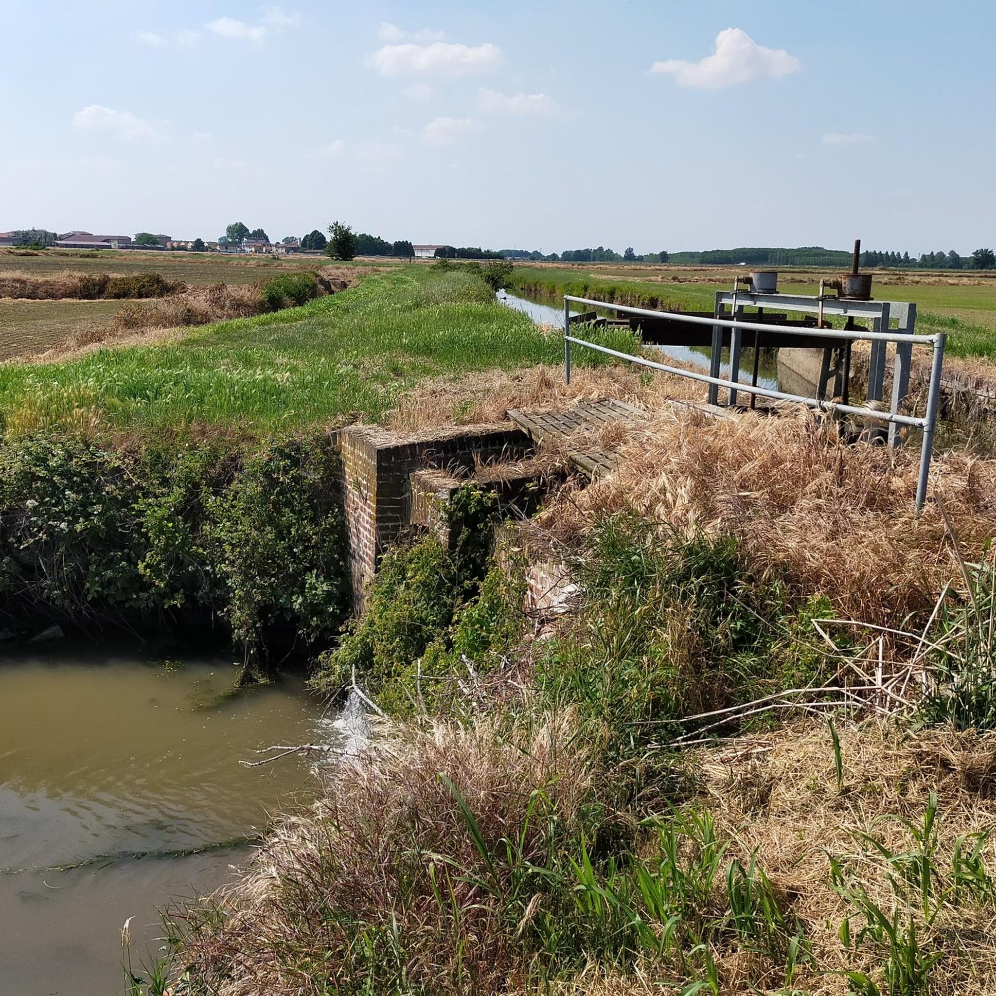
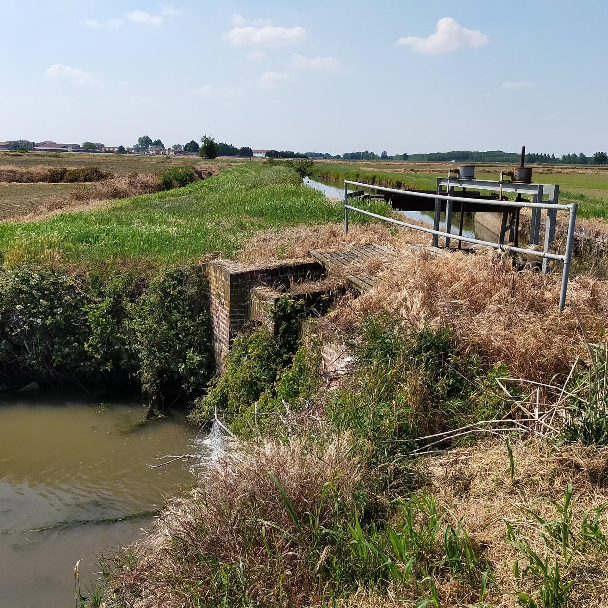
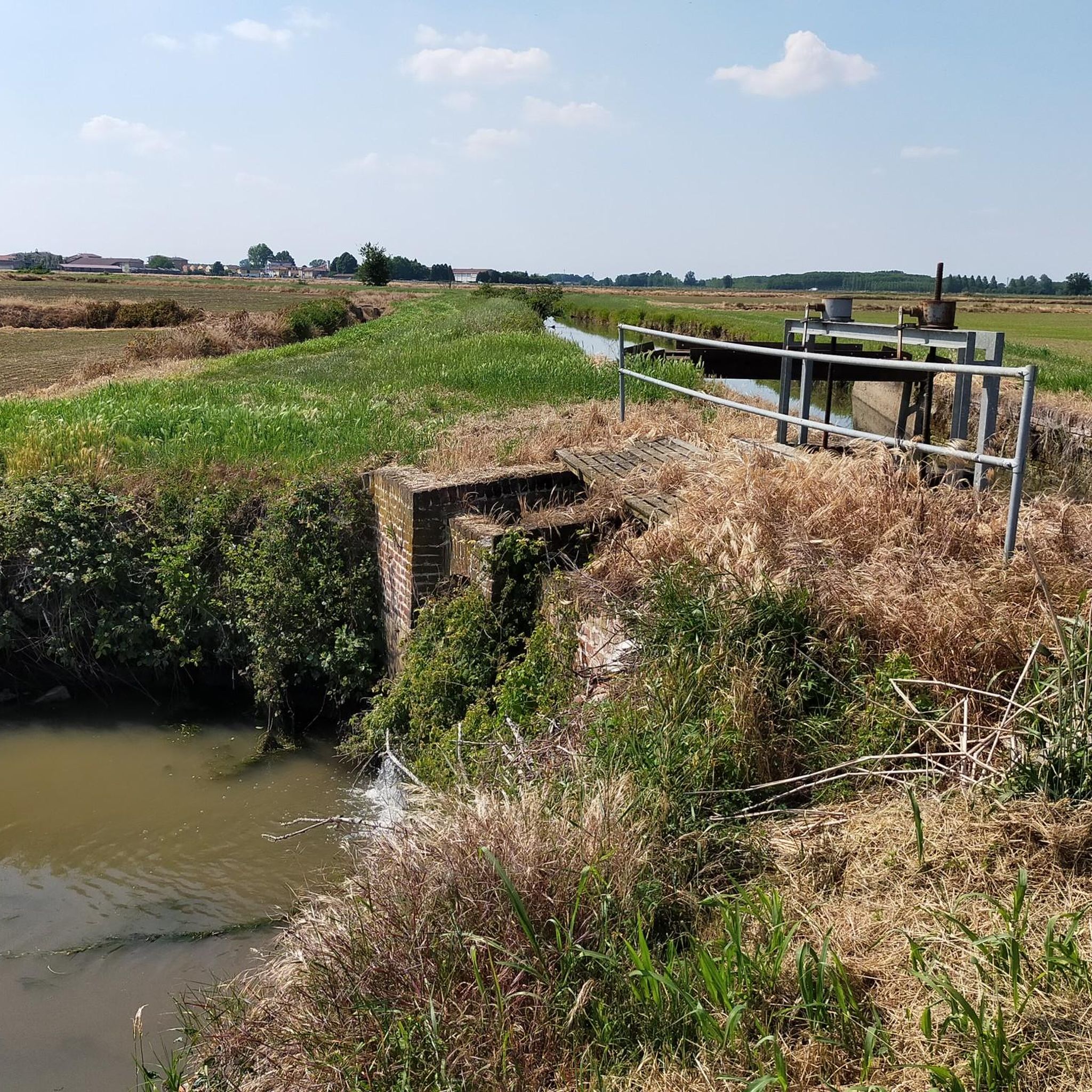
Pretty little bridge in the beautiful Pavia package.
2
0

This is a wonderful cycle / pedestrian stretch along the Ticino river, which can be covered safely with any bicycle.
2
0
Frequently Asked Questions
Are there easy, family-friendly hiking options around Filighera?
Yes, Filighera offers several easy routes suitable for families. The terrain is generally flat with minimal elevation changes, making it accessible for various activity levels. For example, the Castle loop from Sant'Alessio con Vialone is an easy 5.6 km (3.5 miles) trail that takes about 1 hour 25 minutes to complete.
What are the most challenging hikes in the Filighera area?
The Filighera area is characterized by its flat, agricultural landscapes, meaning most trails are of easy to moderate difficulty. There is one route classified as difficult among the 40 available, but generally, the region is not known for strenuous, high-elevation challenges. Hikers seeking significant climbs might find the area less demanding than mountainous regions.
Can I find circular hiking routes near Filighera?
Yes, many of the trails around Filighera are circular, offering convenient loop options. A popular choice is the Vaccarizza Loop Trail, which is 11.3 km (7.0 miles) long and takes approximately 2 hours 50 minutes to complete. Another option is the Belgioioso Town Hall loop from Belgioioso, an easy 5.9 km (3.7 miles) route.
Are the hiking trails around Filighera dog-friendly?
Many of the trails in the Filighera area, particularly those through agricultural fields and along riverine paths, are suitable for walking with dogs. It's always advisable to keep dogs on a leash, especially when passing through farmlands or near livestock, and to check local regulations for specific areas. The flat terrain makes for pleasant walks for both you and your canine companion.
What interesting sights or landmarks can I see while hiking near Filighera?
While hiking near Filighera, you can explore several historical and religious landmarks. Notable points of interest include the Church of San Giacomo della Cerreta, the Little Church of Our Lady of Loreto, and the Sanctuary of Santa Maria del Novello. You might also encounter sections of the historic Via Francigena in Linarolo.
Are there any historical routes to explore in Filighera?
Yes, the region around Filighera is rich in history, and some hiking routes follow ancient paths. The Via Francigena Near Pavia loop from Valle Salimbene is a prime example, tracing a section of the historic pilgrimage route. These trails offer a glimpse into the region's past as you traverse the landscape.
Is parking available at the trailheads for hikes around Filighera?
Parking availability varies by trailhead and specific starting points within the small towns and rural areas around Filighera. Generally, you can find parking in or near the villages that serve as starting points for many routes. It's recommended to check the specific tour details on komoot for information on parking at your chosen trailhead.
How accessible are Filighera's hiking trails by public transport?
Access to Filighera's hiking trails by public transport can be limited, as many routes start in smaller villages or rural areas. Pavia, a larger nearby city, serves as a regional transport hub. From there, local bus services might connect to some of the smaller towns. Planning your route in advance and checking local bus schedules is advisable if relying on public transport.
What is the best time of year to go hiking in Filighera?
The best time to hike in Filighera is typically during the spring (April to June) and autumn (September to October). During these seasons, the weather is mild and pleasant, and the agricultural landscapes are vibrant with either new growth or harvest colors. Summer can be quite warm, while winter can be damp and foggy, though still suitable for walking on clear days.
What do other hikers enjoy the most about hiking in Filighera?
The hiking experience in Filighera is highly regarded by the komoot community, with an average score of 4.1 stars from over 70 reviews. Hikers often praise the peaceful, flat agricultural landscapes, the historical elements, and the accessibility of the trails. The opportunity to connect small towns and enjoy riverine scenery is also frequently highlighted.
Are there any opportunities for wild swimming near Filighera's hiking trails?
Filighera is situated in a flat, agricultural region with riverine areas, but it is not typically known for designated wild swimming spots. The rivers and canals in the area are primarily for irrigation and drainage, and may not be suitable or safe for swimming. It's best to enjoy the scenery from the trails rather than seeking swimming opportunities.
How many hiking trails are available around Filighera?
There are over 40 hiking routes available around Filighera, catering to various preferences. These trails range from easy strolls through the countryside to moderate paths that explore historical routes and connect local villages.
Most popular routes around Filighera
Most popular attractions around Filighera

Get inspired with the komoot mobile app


Explore more
Browse the best Hikes in other regions.
