The best MTB trails around Gropello Cairoli
4.5
(244)
1,093
riders
13
rides
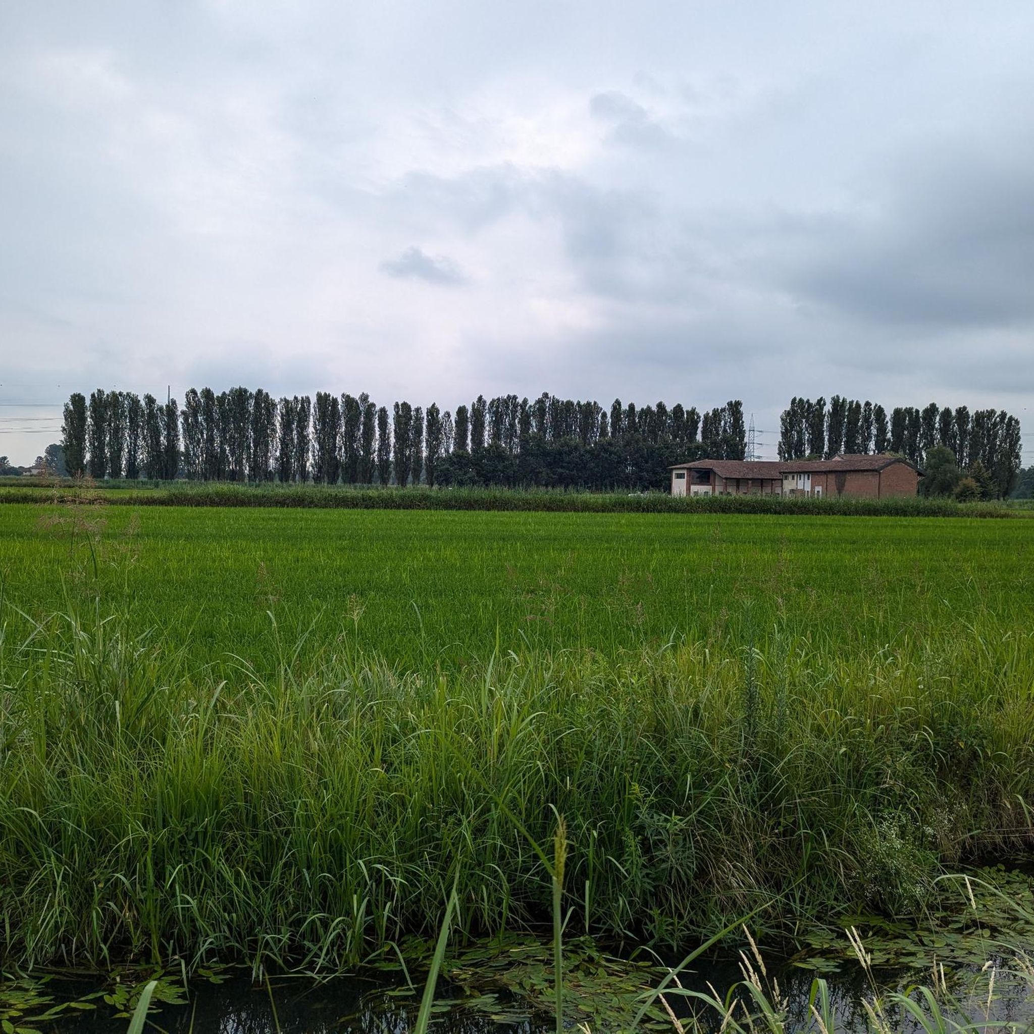
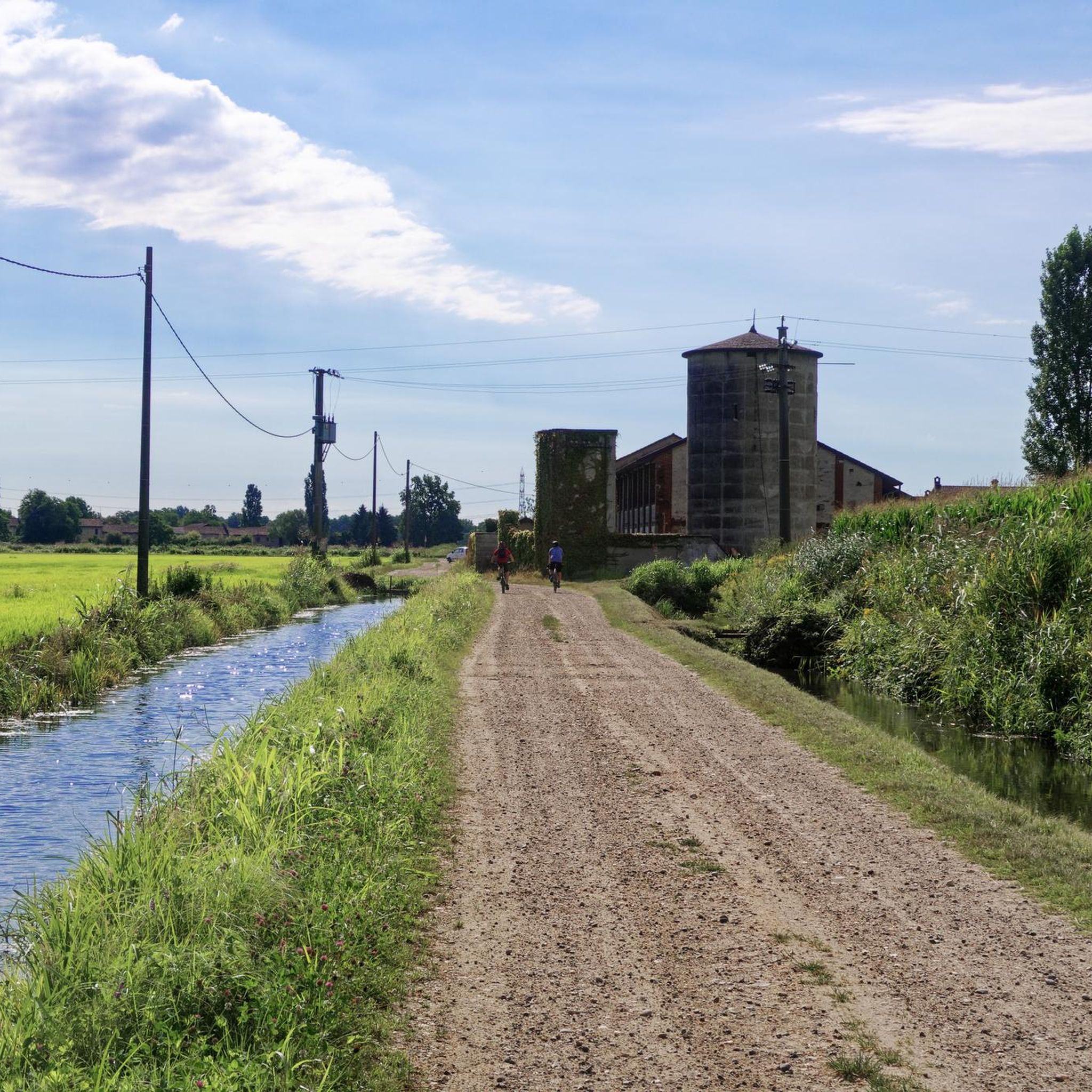
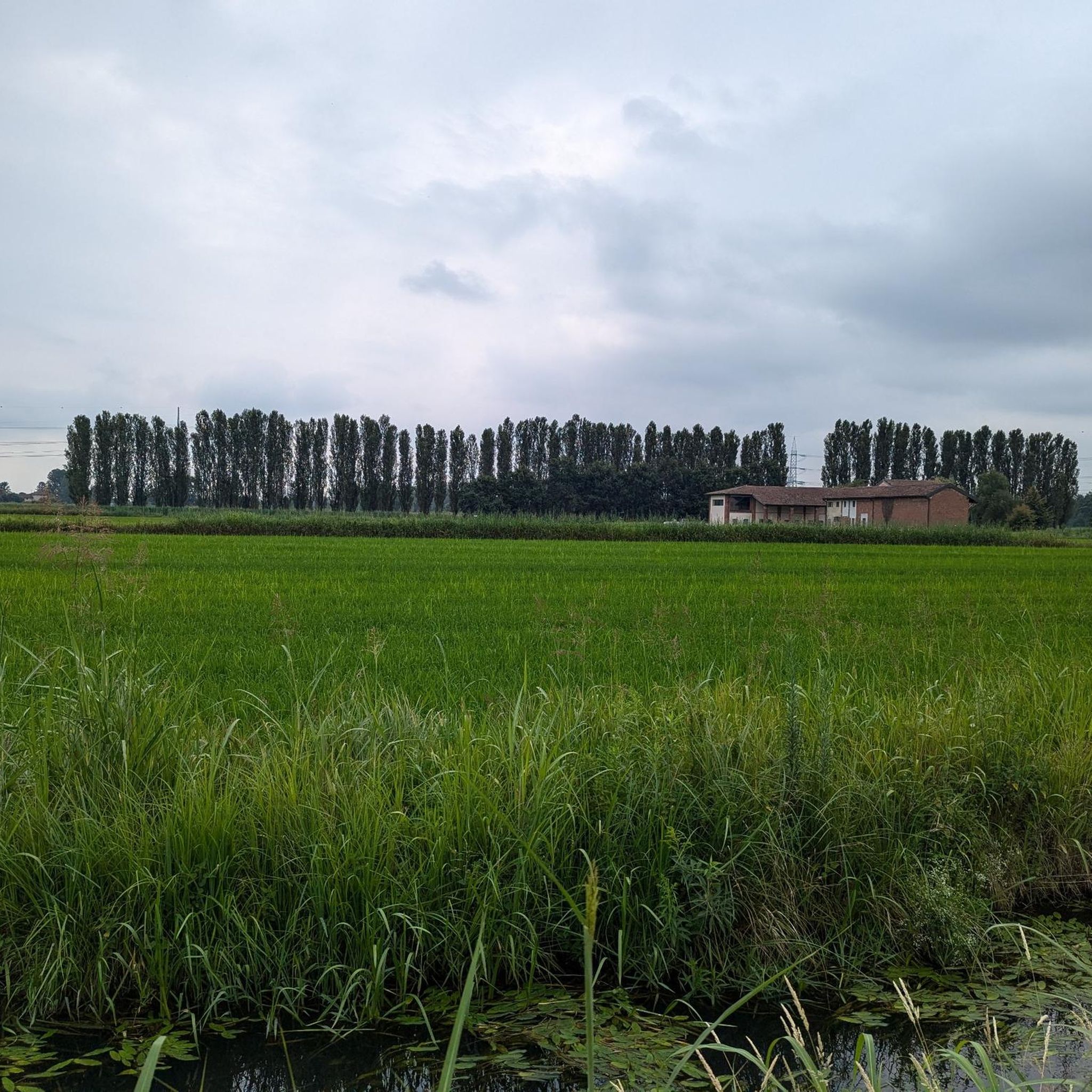
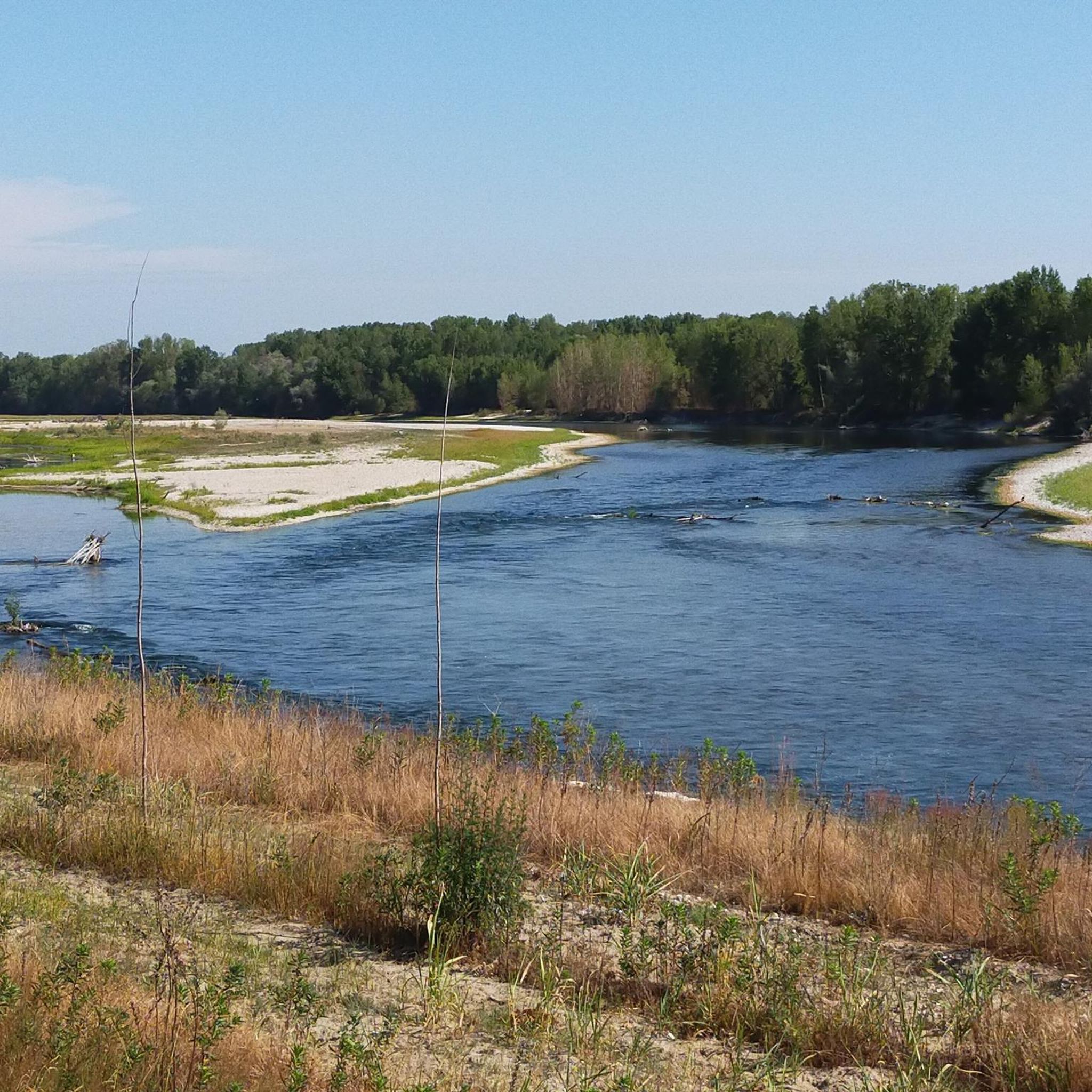
Mountain biking around Gropello Cairoli offers a network of trails primarily characterized by flat to gently rolling terrain along riverbanks. The region's landscape is dominated by the Ticino River, with routes often incorporating bridges and riverside paths. Elevation gains are generally low, making the area suitable for various skill levels. The Lomellina area provides a mix of natural scenery and local landmarks for extended rides.
Best mountain bike trails around Gropello Cairoli
- The most popular mountain bike trail is Covered…
Last updated: October 18, 2026
4.4
(87)
338
riders
Hard mountain bike ride. Very good fitness required. Advanced riding skills necessary.
3.5
(4)
14
riders
Moderate mountain bike ride. Good fitness required. Advanced riding skills necessary.

10
riders
Moderate mountain bike ride. Good fitness required. Suitable for all skill levels.
5
riders
Easy mountain bike ride. Great for any fitness level. Suitable for all skill levels.
4.5
(2)
6
riders
52.6km
03:01
90m
90m
Moderate mountain bike ride. Good fitness required. Advanced riding skills necessary.
Get access to more routes and recommendations from other explorers.
Already have an account?
Our route recommendations are based on thousands of hikes, rides, and runs completed by other people on komoot.
Start today with a free account
Your next adventure awaits.
Tips from the Community

The Monument to the Washerwoman is a famous bronze sculpture located in Pavia, positioned on the riverbank in the characteristic Borgo Ticino district. The work is located at the entrance of Via Milazzo, immediately to the left after crossing the famous Ponte Coperto.
0
0

The Sanctuary of Santa Maria del Novello (also known as Santuario del Novello) is a fascinating religious building located in Travacò Siccomario, in the province of Pavia. This small country church stands in a suggestive and isolated position within the floodplain area, just a few steps from the main left bank of the Po River. Origins: The original structure dates back to the late 1500s (or early 1600s according to some local sources). It was commissioned by the Bonacossa family and built over a previous country oratory, of which it still preserves the original fresco of the Madonna inside. Protection from floods: According to popular tradition, the building was erected at that precise spot to invoke divine protection against floods.
0
0

It is a tour immersed in nature, very beautiful both in summer and in winter, it allows you to walk on well-marked and easily passable paths while enjoying a very suggestive natural panorama.
1
0
The Church of San Siro is the main place of worship in the municipality of the same name in the province of Pavia, belonging to the Diocese of Vigevano. Built between 1729 and 1732 on the remains of a 13th-century chapel, it features an elegant Greek cross plan in the late Baroque style, enriched by 18th-century canvases by the painter Carlo Antonio Bianchi from Pavia.
1
0

Beautiful, well-kept watermill with double paddle wheel, set in the middle of the town's gardens.
0
0

A memorial to the laundresses. Thanks to Willem VS for his excellent descriptions!
3
0
The trail runs in a very elevated position, on the edge of a plain that surrounds the outer part of a large bend of the Ticino River. The plain ends abruptly in a steep overhanging cliff caused by the erosion of the water at its base. The trail runs through greenery and flowers, in a panoramic position from which you can admire the branch from which it comes, and the one from which the water flows into the bend that flows at your feet. The large gravelly esplanades on the opposite bank inside the bend of the river are also veiled.
0
0
The crossing has been consolidated and made smoother with a series of wooden sticks that run across the road, creating a path that can be traveled on a horse. Canals, ups and downs and small bridges, alternating with rocky sections and clearings, the numerous views of the Ticino make the route very entertaining.
0
0
Frequently Asked Questions
How many mountain bike trails are there in Gropello Cairoli?
There are over 70 mountain bike trails around Gropello Cairoli, offering a wide range of options for different skill levels. The area is particularly rich in easy routes, with more than 20 trails suitable for beginners.
Are there easy mountain bike trails suitable for beginners in Gropello Cairoli?
Yes, Gropello Cairoli is well-suited for beginners, with over 20 easy mountain bike trails. These routes typically feature flat to gently rolling terrain along riverbanks, making them accessible for those new to mountain biking. An example of an easy route is the Bereguardo Pontoon Bridge – Houseboats on the Ticino River loop from Gropello Cairoli, which is 14.7 miles (23.7 km) long.
What kind of terrain can I expect on mountain bike trails around Gropello Cairoli?
The mountain bike trails around Gropello Cairoli are primarily characterized by flat to gently rolling terrain, often following the banks of the Ticino River. You'll encounter riverside paths, bridges, and open plains, with generally low elevation gains. This makes the area suitable for extended rides without significant climbing.
What are some longer mountain bike routes for experienced riders?
For more experienced riders looking for longer distances, the area offers several moderate routes. The Covered Bridge (Pavia) – Trail Along the Ticino loop from Gropello Cairoli is a substantial 42.0 miles (67.7 km) ride, typically taking around 4 hours 48 minutes. Another option is the Percorso Vita Dorno – Dialect Sundial loop from Gropello Cairoli, which covers 32.7 miles (52.6 km).
What attractions or landmarks can I see along the mountain bike trails?
Many mountain bike trails in the region incorporate local landmarks and natural features. You can often spot the historic Ponte Coperto (the Covered Bridge) in Pavia, or the Wooden Bridge over the Ticino. Keep an eye out for the Ticino River in the Lombardy Park of the Ticino Valley, and viewpoints like the View of the bend in the Ticino River.
What do other mountain bikers say about the trails in Gropello Cairoli?
The mountain bike trails around Gropello Cairoli are highly rated by the komoot community, with an average score of 4.5 stars from over 400 reviews. Many users praise the scenic river paths and the well-maintained routes that offer a pleasant riding experience for various skill levels.
Are there any circular mountain bike routes available?
Yes, many of the mountain bike routes in Gropello Cairoli are designed as loops. For example, the Covered Bridge of Pavia – Bereguardo Pontoon Bridge loop from Gropello Cairoli is a popular circular route spanning 29.8 miles (48.0 km), connecting two notable bridges.
Is Gropello Cairoli suitable for mountain biking in winter?
While the region's flat terrain generally makes it accessible, winter conditions can vary. It's advisable to check local weather forecasts and trail conditions before heading out, as riverside paths might be affected by rain or frost. The low elevation means snow is less common than in mountainous regions, but cold temperatures will require appropriate gear.
What is the typical duration and distance of mountain bike routes in Gropello Cairoli?
The routes in Gropello Cairoli vary significantly in duration and distance. You can find shorter easy rides, such as the 14.7 miles (23.7 km) Bereguardo Pontoon Bridge – Houseboats on the Ticino River loop, which takes about 1 hour 26 minutes. Longer moderate routes, like the 42.0 miles (67.7 km) Covered Bridge (Pavia) – Trail Along the Ticino loop, can take nearly 5 hours.
Are there mountain bike trails with pubs or places to eat nearby?
While specific pubs are not listed, many routes pass through or near towns and villages along the Ticino River, such as Pavia, where you can find various dining options. The Lido di Pavia – Covered Bridge (Pavia) loop from Gropello Cairoli, for instance, takes you past the Lido di Pavia, which often has facilities for refreshments.
How can I find less crowded mountain bike trails in the area?
To find less crowded trails, consider exploring routes that venture slightly further from the most popular landmarks or plan your rides during off-peak hours, such as weekdays or early mornings. While the area is generally well-used, the extensive network of river paths offers many opportunities to find quieter sections.
Most popular routes around Gropello Cairoli
Most popular attractions around Gropello Cairoli

Get inspired with the komoot mobile app


Explore more
Browse the best MTB trails in other regions.
