The best walks and hikes around Galliavola
4.9
(10)
29
hikers
23
hikes
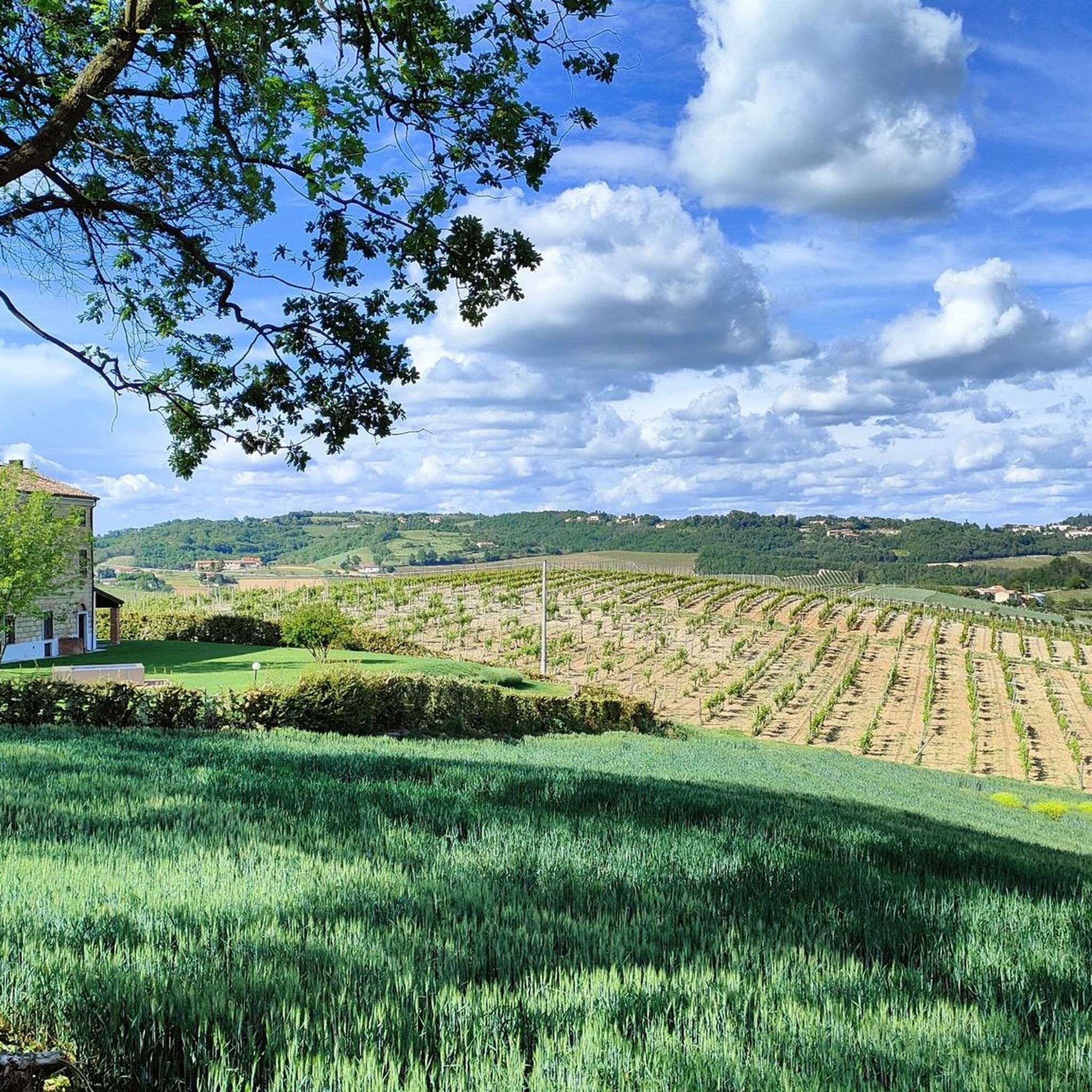
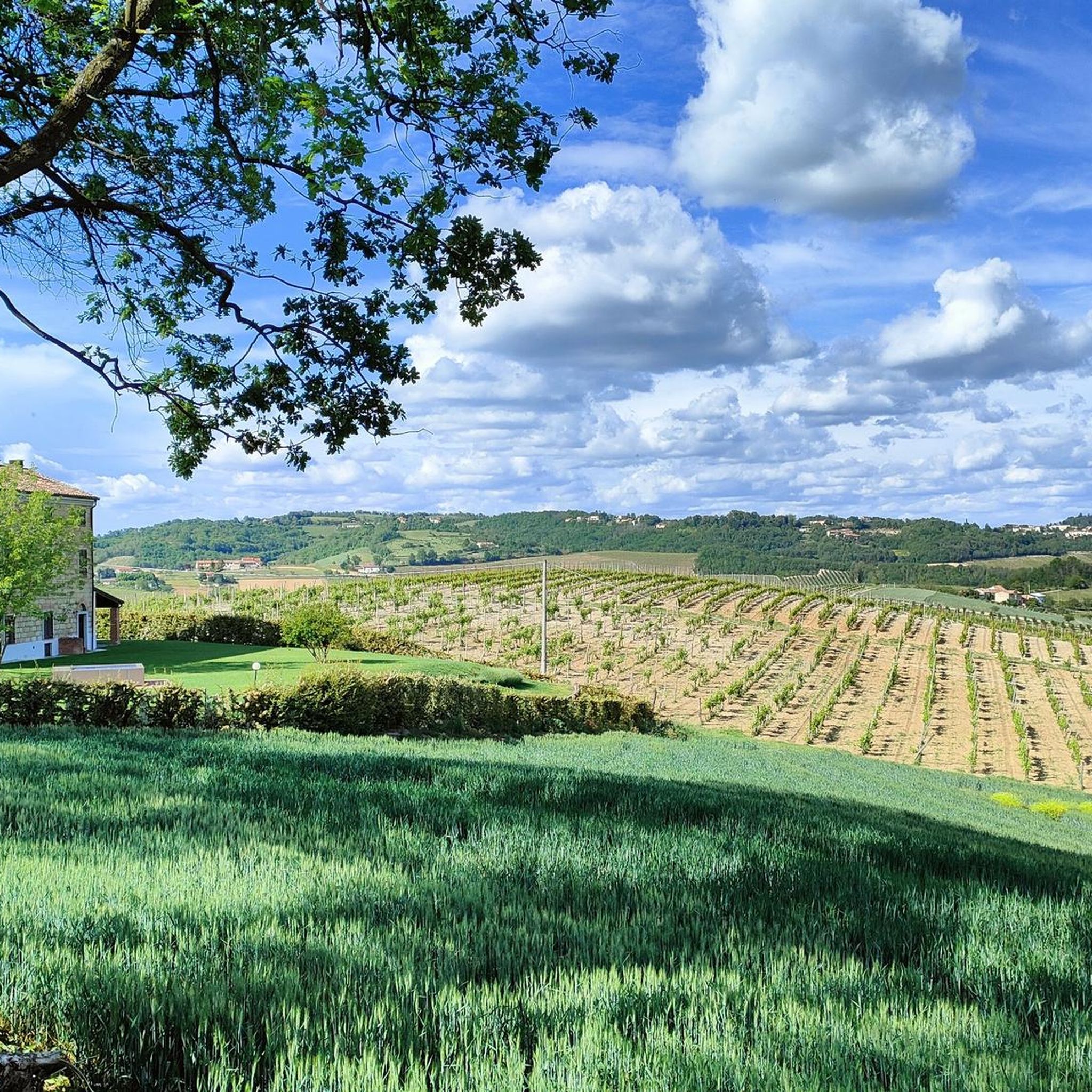
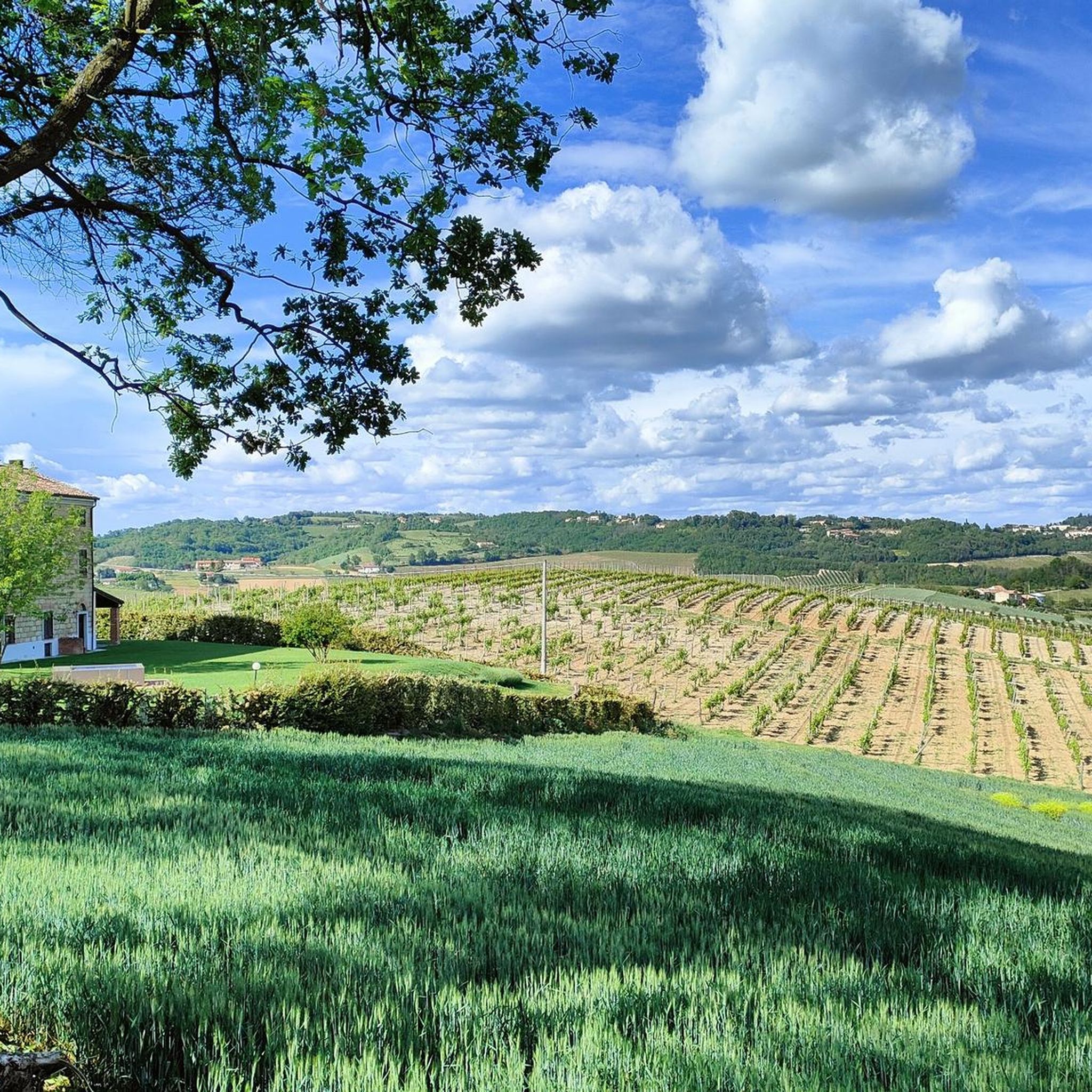
Hiking around Galliavola offers trails through the flat, agricultural landscapes of the Lomellina region in Lombardy, Italy. The terrain is generally level, making routes accessible for various fitness levels. Hikers can explore a network of paths that traverse rural environments, often featuring rice paddies and local waterways. The area provides a tranquil setting for outdoor activities, contrasting with more mountainous regions.
Best hiking trails around Galliavola
- The most popular hiking route is Loop tour in Lomellina, a 7.0 miles…
Last updated: July 1, 2026
5.0
(4)
2
hikers
11.2km
02:50
20m
20m
Moderate hike. Good fitness required. Mostly accessible paths. Sure-footedness required.
8
hikers
8.07km
02:02
10m
10m
Moderate hike. Good fitness required. Easily-accessible paths. Suitable for all skill levels.

Sign up for free
4.8
(4)
7
hikers
10.5km
02:39
20m
20m
Moderate hike. Good fitness required. Easily-accessible paths. Suitable for all skill levels.
5.0
(2)
2
hikers
Easy hike. Great for any fitness level. Easily-accessible paths. Suitable for all skill levels.
1
hikers
Easy hike. Great for any fitness level. Easily-accessible paths. Suitable for all skill levels.
Get access to more routes and recommendations from other explorers.
Sign up for free
Already have an account?
Our route recommendations are based on thousands of hikes, rides, and runs completed by other people on komoot.
Start today with a free account
Your next adventure awaits.
Login or Signup

Tips from the Community

Beautiful, well-kept watermill with double paddle wheel, set in the middle of the town's gardens.
0
0


A classic passage in the great flat tours.
4
0

Small bridge to cross the Arbogna torrent
33
0

In the Lomellino dialect it is also called "trumba". 🙂
5
0

In the middle of Scaldasole stands a mighty, well-fortified castle. It dates from the Middle Ages.
0
0
This church is a wonderful example of Lombard Romanesque. It was first mentioned at the beginning of the 12th century.
0
0
Beautiful mural depicting the rice paddies.
29
0
Frequently Asked Questions
How many hiking trails are available around Galliavola?
There are over 25 hiking routes in the Galliavola area, offering a variety of options for exploring the flatlands of Lomellina. These trails range from easy strolls to moderate walks, suitable for various fitness levels.
What kind of landscape can I expect when hiking near Galliavola?
Galliavola is situated in the flat Lomellina region, characterized by tranquil rural environments, agricultural landscapes, especially rice paddies, and local waterways like the Arbogna torrent. You'll find accessible paths ideal for relaxed hiking, often featuring historical elements amidst the natural scenery.
Are there any family-friendly hiking options in Galliavola?
Yes, the flat terrain around Galliavola makes many routes suitable for families. Trails like the Small bridge – Murales Podere S.Antonio loop from San Giorgio di Lomellina are easy and typically involve up to two hours of walking, perfect for outings with children.
Can I bring my dog on the hiking trails in Galliavola?
The rural and open nature of the trails around Galliavola generally makes them suitable for dog walking. However, it's always recommended to keep your dog on a leash, especially when passing through agricultural areas or near livestock, and to respect local regulations.
Are there any circular hiking routes in the area?
Yes, many of the trails around Galliavola are designed as loops, allowing you to start and end at the same point. An example is the Cavo Magnaghi – The old hand pump loop from San Giorgio di Lomellina, which offers a pleasant circular walk through the countryside.
What interesting landmarks or attractions can I see along the hiking trails?
Hikers can discover a blend of natural and historical attractions. You might encounter the well-preserved "Vecchio mulino" (old watermill), cross the Arbogna torrent via a small bridge, or see the "Murales Podere S. Antonio" depicting rice paddies. Nearby, you can also explore historical sites like Scaldasole Castle or the Agogna Stream Bridge.
Is there parking available near the trailheads in Galliavola?
Given the rural setting of Galliavola and surrounding villages, parking is generally available in or near the starting points of many trails. It's advisable to check specific route details on komoot for precise parking information, especially in smaller hamlets.
What is the best time of year to go hiking in Galliavola?
The flatlands of Lomellina are pleasant for hiking during spring and autumn, when temperatures are mild. Summer can be warm, but the open landscape often provides a breeze. Winter hiking is also an option, offering a different, quieter perspective of the rural scenery.
How long do hikes around Galliavola typically take?
Most hikes around Galliavola are designed for casual outings, typically taking between 1.5 to 3 hours to complete. For instance, the Spacious Manor House loop from Galliavola is about 2 hours 40 minutes, while shorter routes can be completed in under 2 hours.
What do other hikers enjoy most about hiking in Galliavola?
The area is highly rated by the komoot community, with an average score of 4.7 stars from over 30 reviews. Hikers often praise the tranquil rural environment, the ease of the trails, and the opportunity to experience the unique agricultural landscapes of the Lomellina region.
Are there any easy hiking routes for beginners in Galliavola?
Absolutely. Many routes in Galliavola are categorized as easy, making them ideal for beginners or those seeking a relaxed walk. The Hiking loop from Sannazzaro de' Burgondi is an easy 4.8-mile path that provides a gentle introduction to the local countryside.
Can I reach the hiking trails using public transport?
Galliavola is a small comune, and public transport options directly to trailheads might be limited. It's generally more convenient to access the area by car. For specific public transport inquiries, it's best to consult local transport schedules for the Province of Pavia.
Most popular attractions around Galliavola

Get inspired with the komoot mobile app


Explore more
Browse the best Hikes in other regions.
