The best walks and hikes around Rea
4.2
(401)
2,681
hikers
192
hikes
Hiking around Rea provides routes through flat terrain, often following riverbanks and agricultural areas. The region is characterized by minimal elevation changes, with trails typically staying below 20 meters of ascent. These paths offer opportunities to explore local landscapes and connect nearby towns.
Best hiking trails in Rea
- The most popular hiking route is Borgoticino Loop, a 6.3 miles (10.1 km) trail that takes 2 hours 33 minutes to complete. This moderate route offers views of the surrounding flatlands.
- Another top favourite among local hikers is Siccomario Loop, a moderate 8.7 miles (14.1 km) path. This trail follows riverine paths and agricultural fields.
- Local hikers also love the Cascina Boscone Vecchio loop from Travacò Siccomario, a 4.1 miles (6.6 km) trail leading through rural landscapes, often completed in about 1 hour 39 minutes.
- Hiking around Rea is defined by flat riverine paths, agricultural fields, and routes connecting local towns. The network offers options for different ability levels, primarily focusing on easy to moderate walks.
- The routes in Rea are highly rated by the komoot community with an average score of 4.4 stars from over 200 reviews. More than 1600 hikers have used komoot to explore Rea's varied terrain.
Last updated: October 4, 2026
4.5
(24)
96
hikers
10.1km
02:34
20m
20m
Embark on the Borgoticino Loop, a moderate hiking route that guides you along the scenic Ticino River. This accessible 6.3-mile (10.1 km) journey offers a delightful blend of natural beauty and agricultural landscapes, with a gentle elevation gain of just 51 feet (15 metres). Expect to spend around 2 hours and 33 minutes immersing yourself in picturesque riverside views and passing by charming historic farmhouses.
To begin your adventure, head to the historic Ponte Coperto, or Covered Bridge, in Pavia, which serves as the convenient starting point for the loop. Parking is generally available in the vicinity of the bridge, making access straightforward. While the trail is mostly tranquil, be aware that some sections might encounter local traffic, so stay alert. This route is enjoyable throughout the day, offering different light conditions for photography.
This trail is a fantastic way to experience the Parco Lombardo della Valle del Ticino, showcasing its diverse Po Valley wildlife. As you hike, keep an eye out for panoramic views of the city of Pavia, where you can spot its historic towers and church domes, particularly near Cascina Costa. The route provides a unique perspective on the region's blend of natural and historical significance.
3.8
(4)
13
hikers
14.1km
03:33
20m
20m
The Siccomario Loop offers a moderate hiking experience, covering 8.7 miles (14.1 km) with a gentle elevation gain of just 60 feet (18 metres). You can expect to complete this journey in about 3 hours and 32 minutes, making it a pleasant outing. The trail winds through the Parco Lombardo della Valle del Ticino, providing relaxing panoramic views of the low Po Valley's agricultural fields and the Ticino River. As you hike, you will pass through the Grande Foresta di Travacò Siccomario, a notable reforestation project. Keep an eye out for the Giant Red Bench on the Ticino River, which offers a unique spot to pause and take photos.
Planning your visit to the Siccomario Loop is straightforward, as the trail is generally easy to access. A common and convenient starting point is the iconic Pavia's Covered Bridge. You will find various parking options available within Pavia itself, which makes it simple to begin your hike without hassle. This accessibility ensures a smooth start to your outdoor adventure.
Beyond the scenic views, the route takes you past the ecological zone of Bosco Negri. This area is known for being home to diverse wildlife, offering a chance to observe local fauna in their natural habitat. The trail's path through the Parco Lombardo della Valle del Ticino highlights the region's commitment to preserving its natural landscapes and biodiversity.

4.1
(12)
42
hikers
Moderate hike. Good fitness required. Easily-accessible paths. Suitable for all skill levels.
4.3
(7)
19
hikers
27.1km
06:49
30m
30m
Hard hike. Very good fitness required. Easily-accessible paths. Suitable for all skill levels.
4.5
(2)
14
hikers
6.56km
01:39
10m
10m
Easy hike. Great for any fitness level. Easily-accessible paths. Suitable for all skill levels.
Get access to more routes and recommendations from other explorers.
Already have an account?
Our route recommendations are based on thousands of hikes, rides, and runs completed by other people on komoot.
Start today with a free account
Your next adventure awaits.

Tips from the Community

The Monument to the Washerwoman is a famous bronze sculpture located in Pavia, positioned on the riverbank in the characteristic Borgo Ticino district. The work is located at the entrance of Via Milazzo, immediately to the left after crossing the famous Ponte Coperto.
0
0

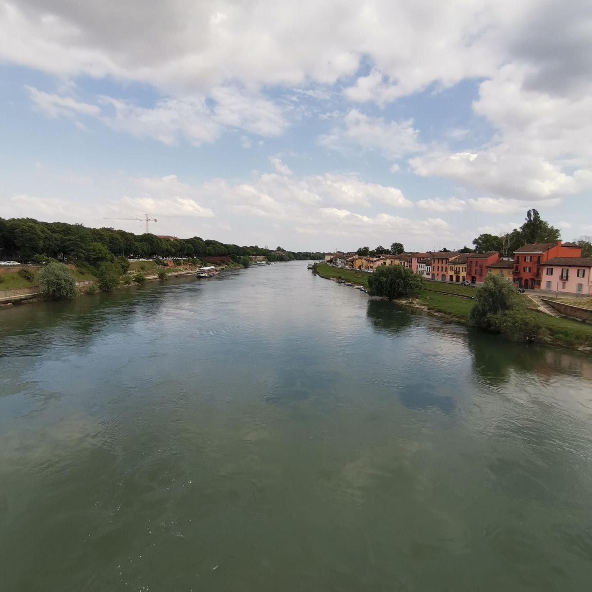
The maxi bench on the Ticino river in Pavia is Big Bench n. 114, located in Travacò Siccomario. All red. It is located along the banks of the Ticino river in the territory of Travacò Siccomario, and it is the first Big Bench installed in the province of Pavia. It offers a unique view of the Pavia skyline and the river
0
0


The landing stage on the banks of the Po River, where you can stop for a quick refreshment. During the summer, the landing stage also offers river excursions.
0
0
One of the historic sewers on the floodplain. This one is located directly above the Verzate stream, a tributary of the Po River.
0
0
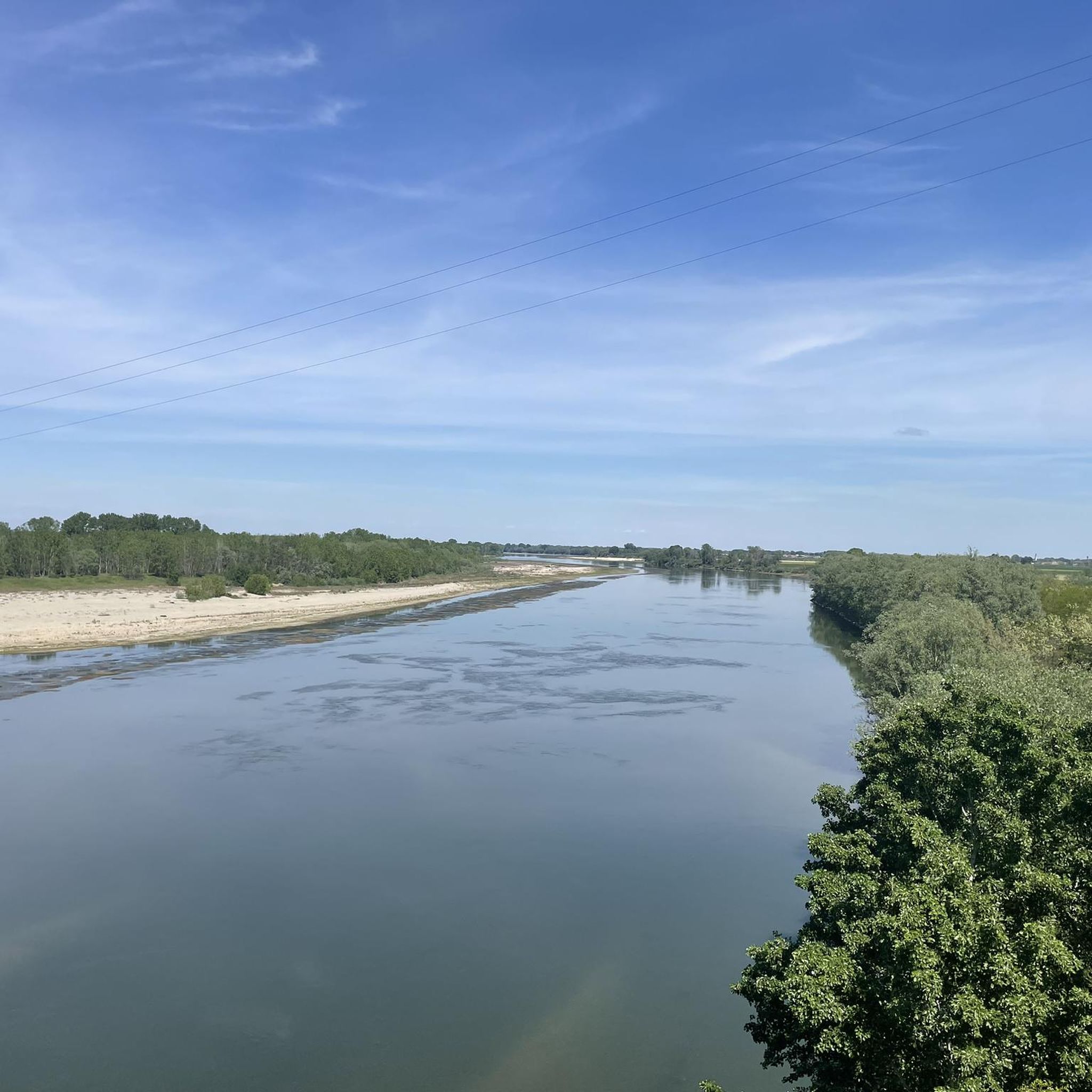
A view of the Po from the floodplain.
0
0

The crypt of this cathedral has a soothing atmosphere!
1
0
A memorial to the laundresses. Thanks to Willem VS for his excellent descriptions!
3
0
Frequently Asked Questions
What kind of hiking trails can I expect in Rea?
Hiking in Rea is characterized by flat terrain, often following riverbanks and agricultural areas. The trails typically have minimal elevation changes, making them suitable for relaxed walks and exploring local landscapes.
How many hiking trails are available in Rea?
There are over 140 hiking routes available in Rea. The majority of these, about 95, are classified as easy, with 45 moderate routes and a few more challenging options.
Are there any family-friendly hiking options in Rea?
Yes, Rea offers many family-friendly hiking options due to its predominantly flat terrain and minimal elevation changes. The numerous easy routes are ideal for families with children, providing pleasant walks through rural landscapes and along riverbanks.
Can I find circular hiking routes in Rea?
Yes, Rea features many circular routes. Popular options include the Borgoticino Loop, a 6.3-mile trail, and the Siccomario Loop, which is 8.7 miles long. These loops allow you to start and end your hike in the same location.
What are the typical lengths and durations of hikes in Rea?
Hikes in Rea vary in length, with many routes being between 4 to 9 miles. For example, the Cascina Boscone Vecchio loop from Travacò Siccomario is 4.1 miles and takes about 1 hour 39 minutes, while the Siccomario Loop is 8.7 miles and typically takes around 4 hours.
What do other hikers say about the trails in Rea?
The hiking routes in Rea are highly rated by the komoot community, with an average score of 4.4 stars from over 200 reviews. Hikers often praise the quiet riverine paths and agricultural fields, which offer a peaceful escape into nature.
Are there any interesting natural attractions to see while hiking in Rea?
Yes, along the trails in Rea, you can discover several natural attractions. Highlights include the Ponte della Becca, the serene Ticino Park, and the Wildlife Pond in Parco Lombardo della Valle del Ticino. You might also find a White Sand Beach on the Ticino River.
What historical or cultural landmarks can I explore near Rea's hiking routes?
Beyond the trails, the area around Rea offers several notable landmarks. You can visit the iconic Ponte Coperto (the Covered Bridge) in Pavia, the historic Visconti Castle of Pavia, and the impressive Cathedral of Pavia. Other points of interest include the Statue of the Washerwoman and the beautiful Basilica of San Michele Maggiore.
Are there accessible hiking trails in Rea for all abilities?
Given the region's flat terrain and minimal elevation changes, many of Rea's trails are generally accessible. While specific accessibility features like paved paths or ramps are not universally guaranteed, the natural characteristics of the landscape make it suitable for a wider range of abilities compared to mountainous regions.
Are there any hidden gem hikes in Rea that are less frequented?
While specific 'hidden gems' are subjective, the sheer number of routes (over 140) means there are many less-trafficked paths beyond the most popular ones. Exploring some of the lesser-known easy routes that connect local towns or traverse agricultural fields can offer a quieter experience away from the main trails.
What is the best time of year to hike in Rea?
The flat terrain of Rea makes it suitable for hiking during most seasons. Spring and autumn generally offer pleasant temperatures and scenic views of the agricultural landscapes. Summer can be warm, while winter hiking is possible, though conditions may vary.
Most popular attractions around Rea

Get inspired with the komoot mobile app


Explore more
Browse the best Hikes in other regions.
