The best MTB trails around Bovisio Masciago
4.3
(2635)
10,391
riders
301
rides
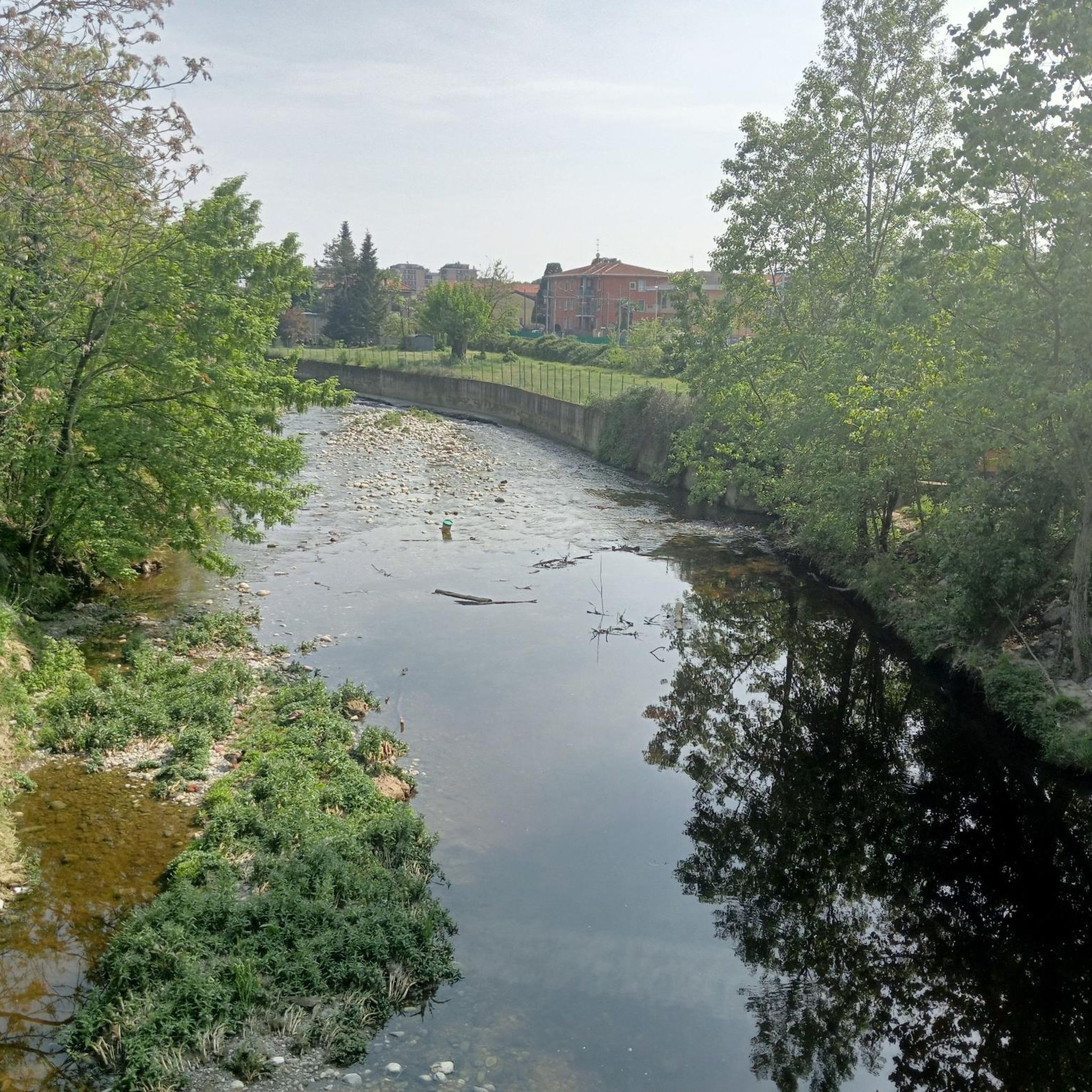
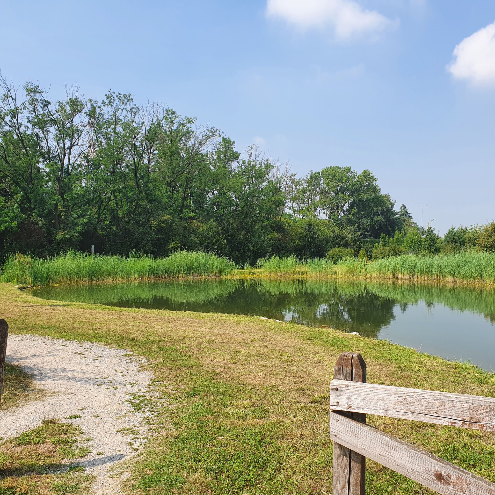
Mountain biking around Bovisio Masciago offers access to diverse terrain within the Parco delle Groane and Brughiera Briantea. This region features a mix of plains, gentle hills, dense wooded areas, and open meadows, traversed by the Seveso river. Extensive trail networks cater to various skill levels, including paths through ancient oak trees and alongside artificial lakes. The area provides a comprehensive outdoor experience for mountain bikers.
Best mountain bike trails around Bovisio Masciago
- The most popular mountain bike trail is…
Last updated: October 8, 2026
3.6
(42)
100
riders
42.4km
02:52
170m
170m
Moderate mountain bike ride. Good fitness required. Suitable for all skill levels.
4.6
(15)
51
riders
Hard mountain bike ride. Good fitness required. Advanced riding skills necessary. Some portions of the route may require you to push your bike.

5.0
(3)
23
riders
76.2km
05:38
740m
740m
Hard mountain bike ride. Very good fitness required. Advanced riding skills necessary.
4.4
(11)
23
riders
74.7km
04:06
120m
120m
Moderate mountain bike ride. Good fitness required. Advanced riding skills necessary.
3.3
(3)
26
riders
Moderate mountain bike ride. Great for any fitness level. Advanced riding skills necessary.
Get access to more routes and recommendations from other explorers.
Already have an account?
Our route recommendations are based on thousands of hikes, rides, and runs completed by other people on komoot.
Start today with a free account
Your next adventure awaits.

Tips from the Community

The Villoresi canal takes water from the river Ticino, in the locality of Panperduto, in the municipality of Somma Lombardo. After travelling 86 kilometers, through the provinces of Milan and Monza Brianza, it flows into the river Adda in the municipality of Cassano d’Adda. Construction work began in 1881 and was completed in 1891 to a design by Eugenio Villoresi. Originally intended exclusively for irrigation, following the crisis in crops related to silk production, the canal now allows water distribution in a plain area of approximately 85,000 hectares, through a network that totals around 3,000 kilometers. The paths, which are free of difficulties, accessible to everyone and certainly of interest, are part of the investments made to enhance the towpaths of the waterways, and are also considered a fast connection route between the various Municipalities bordering the canal.
1
0
The La Pista Ciclabile del Canale Villoresi is a flat and easy cycle-pedestrian route of about 85-100 kilometers that runs along the towpath of the second longest artificial canal in Italy, connecting the Ticino river (Panperduto dam) to the Adda river (Groppello d'Adda).
0
0

It is usually called the Begghins house, but since it was so cool, a characteristic place was made 🫶
0
0
The Villoresi canal draws water from the Ticino river, in the locality of Panperduto, in the municipality of Somma Lombardo. After traveling 86 kilometers, in the provinces of Milan and Monza Brianza, it flows into the Adda river in the municipality of Cassano d’Adda. Construction work began in 1881 and was completed in 1891 to a design by Eugenio Villoresi. Originally intended exclusively for irrigation purposes, following the crisis of crops connected with silk production, the canal now allows water distribution in a plain area of approximately 85,000 hectares, through a network that totals about 3,000 kilometers. The paths, free of difficulties, accessible to everyone and certainly of interest, are part of the investments made to enhance the towpaths of the waterways, and should also be considered a fast connection route between the various Municipalities bordering the canal.
1
0

The Villoresi Canal cycle path traverses the Lombardy countryside, following the entire length of the Villoresi Canal, the historic waterway built for irrigation in the late 19th century by engineer Eugenio Villoresi. The canal draws water from the Ticino River near Somma Lombardo and, after an 86 km journey, returns it to the Adda River near Groppello.
0
0
It's an easy, flat cycling route, accessible to all types of bicycles and suitable for families with children. An ideal place for a day trip, it allows you to explore the area's rich natural and scenic beauty, cycling through cultivated fields, parks, and woods. There are several detours to explore the architectural beauty of the many municipalities along the canal, or to continue along the other cycle paths the canal crosses.
0
0
Just be careful about the distances: the Canale Villoresi cycle path, which runs alongside the canal, is 85 kilometers long. It begins near the town of Somma Lombardo and ends near Cassano d'Adda, so unless you're very fit, we recommend doing it in stages! Along the way, the path has short sections where it merges with city streets.
0
0
Frequently Asked Questions
How many mountain bike trails are available around Bovisio Masciago?
There are nearly 300 mountain bike trails around Bovisio Masciago, offering a wide range of options for different skill levels and preferences. The komoot community has explored over 9,600 of these routes.
What kind of terrain can I expect on mountain bike trails near Bovisio Masciago?
The terrain around Bovisio Masciago is quite varied, primarily within the Parco delle Groane and Brughiera Briantea. You'll find a mix of plains, gentle hills, dense wooded areas, and open meadows, often traversed by the Seveso river. This diversity provides everything from accessible paths to more technical sections, including trails through ancient oak trees and alongside artificial lakes.
Are there mountain bike trails suitable for beginners or families in Bovisio Masciago?
Yes, Bovisio Masciago offers numerous trails suitable for beginners and families. The Parco delle Groane, for instance, has easily navigable paths. For a pleasant and less strenuous ride, consider the Villoresi Canal Cycle Path. The Villoresi Canal Cycle Path – Villoresi Park loop from Bovisio Masciago-Mombello is a moderate option that explores scenic areas.
What are the typical lengths and durations of mountain bike trails in the area?
Trail lengths vary significantly. For example, the popular Villoresi Canal Cycle Path – Villoresi Park loop from Bovisio Masciago-Mombello is about 57.4 km (35.7 miles) and takes around 3 hours 10 minutes. Longer, more challenging routes like the Groane Park – Brenna Forest loop from Varedo can be up to 77.9 km (48.4 miles) and take over 5 hours.
Are there any natural landmarks or points of interest along the mountain bike routes?
Yes, the region is rich in natural beauty. Within the Parco delle Groane, you can explore extensive wooded areas like the Bosco del Curato, known for its ancient oak trees. You might also encounter artificial lakes formed from former quarries. Notable highlights include Niguarda Lake and Rosa Camuna Pond, which add to the scenic beauty of the trails.
What do other mountain bikers enjoy most about the trails around Bovisio Masciago?
The mountain bike trails around Bovisio Masciago are highly rated by the komoot community, with an average score of 4.3 stars from over 1,900 reviews. Riders often praise the diverse terrain, the extensive network of trails within the Parco delle Groane, and the scenic beauty of the wooded areas and canal paths.
Can I find circular mountain bike routes in Bovisio Masciago?
Yes, many mountain bike routes around Bovisio Masciago are designed as loops, allowing you to start and end at the same point. Examples include the Groane Park – Cycling and pedestrian bridge over the Lura loop from Varedo and the Underpass – Lentate Forests loop from Bovisio Masciago-Mombello.
Is it possible to access the mountain bike trails using public transport?
Bovisio Masciago is generally well-connected, and some areas within the Parco delle Groane are accessible via public transport. However, specific information regarding bike transport on public services should be checked with local operators, as policies can vary.
Are there any dog-friendly mountain bike trails in the region?
Many of the natural areas, including parts of the Parco delle Groane, are generally dog-friendly, especially on wider paths. However, it's always advisable to keep dogs on a leash and check for any specific local regulations or protected areas where dogs might be restricted, particularly near wildlife habitats like the Oasi LIPU di Cesano Maderno.
When is the best time of year to go mountain biking in Bovisio Masciago?
The region offers good mountain biking opportunities throughout much of the year. Spring and autumn generally provide the most pleasant temperatures and vibrant scenery. Summer can be warm, so early morning or late afternoon rides are often preferred. Winter riding is possible, but trails might be muddy or icy, especially in shaded wooded areas.
Are there places to eat or stay near the mountain bike trails?
Bovisio Masciago and the surrounding towns offer various cafes, restaurants, and accommodation options. You'll find places to refuel and relax after your ride, particularly in the more populated areas adjacent to the parks. It's a good idea to check local listings for specific establishments.
What makes the Parco delle Groane a good destination for mountain biking?
The Parco delle Groane is a prime destination for mountain biking due to its extensive network of trails, diverse landscapes, and protected natural environment. It features a mix of plains, gentle hills, and dense wooded areas, providing varied challenges and scenic routes. The park offers about 50 km of dedicated cycling paths, alongside a dense network of trails suitable for various skill levels.
Most popular routes around Bovisio Masciago
Most popular attractions around Bovisio Masciago

Get inspired with the komoot mobile app


Explore more
Browse the best MTB trails in other regions.
