The 20 Most Amazing Peaks around Berzo Inferiore
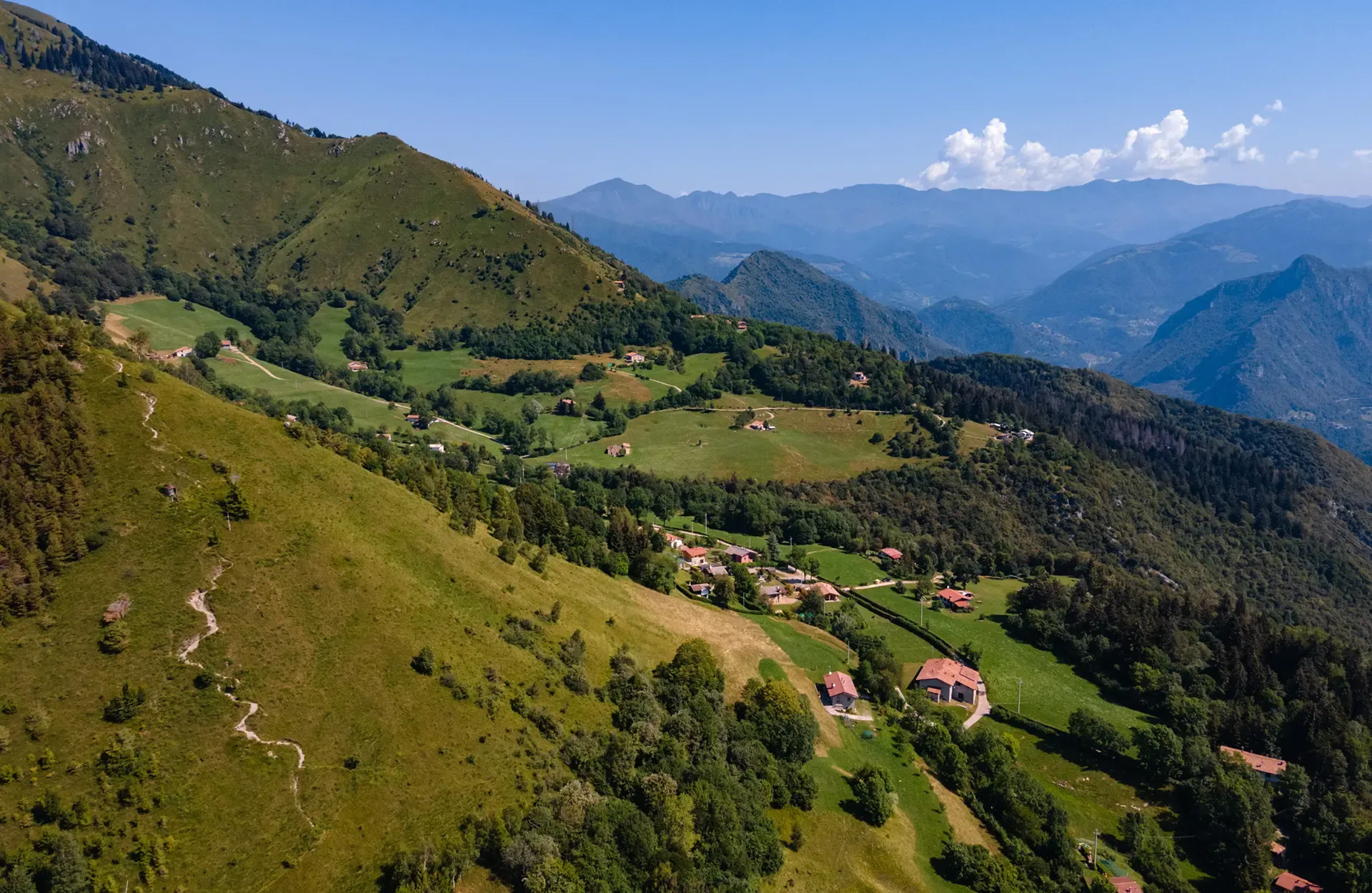
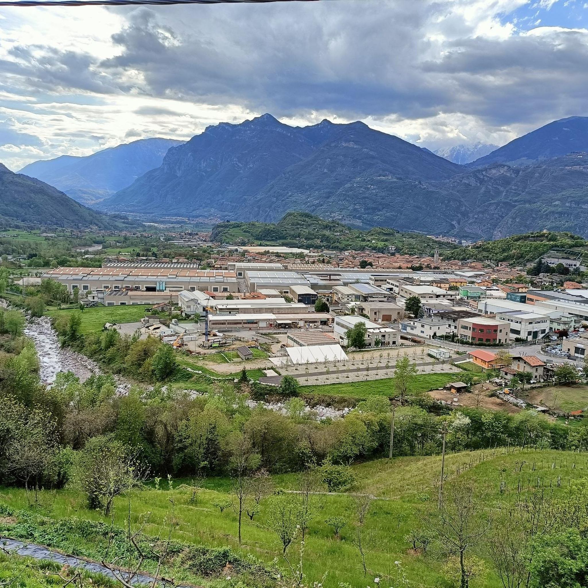
Best mountain peaks around Berzo Inferiore are located within Val Camonica, a diverse mountainous region in the province of Brescia. This area serves as a gateway to various peaks and hiking opportunities. The surrounding landscapes, including Val Camonica and Val Trompia, feature notable mountains accessible for their views and features.
Best mountain peaks around Berzo Inferiore
- The most popular mountain peaks is Dosso Rotondo Hut, a hut strategically located between Val Trompia and Val Camonica at 1,777 meters. It…
Last updated: July 7, 2026
Dosso Rotondo Hut
Highlight • Mountain Hut
Translated by Google •
Tip by

Mount Altissimo
Highlight • Summit
Showing Translation
Tip by

Sign up now to discover places like this
Get recommendations on the best single tracks, peaks, & plenty of other exciting outdoor places.
Sign up for free
Monte Altissimo – Borno Ski Area
Highlight • Mountain Hut
bornoskiarea.it
Translated by Google •
Tip by

Pratolungo Mountain Hut
Highlight • Mountain Hut
Showing Translation
Tip by
Monte Muffetto summit
Highlight • Summit
On the grassy, rounded summit, a simple cross with two howitzers fixed at its base. …
Translated by Google •
Tip by

Sign up for free to discover even more peaks around Berzo Inferiore.
Sign up for free
Already have an account?
Start today with a free account
Your next adventure awaits.
Login or Signup
Popular around Berzo Inferiore

Other adventures around Berzo Inferiore

Tips from the Community

21-06-26 Borno Ski Arena : chairlift closed / refuge closed ...I do not agree with this choice even though work is planned for the renovation of the structures, in the official communications from the municipality it was clearly written that they would not affect the normal running of the services...
0
0

Especially on Saturdays and Sundays during the summer period (but better always) booking is recommended as it is very popular, you feel really good about the portions, the price and the services.
0
0

Malga Pratolungo is one of the most recognizable and significant points on the plateau between Borno, Val Sorda, and the slopes of Monte Altissimo. Online sources describe it as a former mountain hut now used as a hikers' support point, with a small room always open. Here is everything that emerges from the most reliable research. 🏔️ Identity and location Malga Pratolungo (approx. 1478–1482 m) is located in a wide panoramic pasture reached by ascending from Croce di Salven along trail CAI 186. It is a natural junction between: Val Sorda Malga Guccione Monte Altissimo The mountain hut is indicated as an "ex malga" (former mountain hut) in CAI descriptions and houses a room that is always open with a fireplace and table, useful as a shelter in case of bad weather. 🗺️ How to get there From Croce di Salven (most documented route) Parking at Parco delle Doline. Follow trail 186 passing through the Pozze di Val Sorda. Cross a small pass at 1482 m. Shortly after, the former Pratolungo mountain hut appears (average time: 1h40'). From Borno / Camping Ascend towards Croce di Salven and walk the entire Val Sorda along CAI 6. The mountain hut is reached after the large valley meadow.
0
0
🏔️ Monte Altissimo (Val Camonica) — Identity and main characteristics Monte Altissimo is a mountain in the Bergamo Prealps, 1703 m high, located between the lower Val Camonica and the lower Val di Scalve. It is the highest peak in the mountain group that separates these two valleys and overlooks the Borno plateau. Two very different sides Southern side: steep, rocky, almost devoid of vegetation, with a difference in altitude of about 1500 m from the Oglio valley floor. Northern side: gentle slope towards Borno, covered with fir trees and dotted with mountain huts, chalets and ski slopes of the Borno Ski Area. 🚶♂️ Hiking — The main itineraries Monte Altissimo is very popular with hikers thanks to the good network of trails (difficulty E). Here are the best-known and documented routes. 1) From Erbanno – Trail 197 or 155 A steep and challenging itinerary, with a significant difference in altitude. Trail 197: Start: Erbanno (Darfo Boario Terme) Passes through: small church of San Valentino (690 m), Malga Mine, junction with trail 194 From the cross: spectacular view of the lower Val Camonica and Lake Iseo Summit reachable in 15 minutes from the final junction Trail 155 (more direct and strenuous): Difference in altitude: about 1460 m Steep sections, some chains on a slightly exposed traverse Remarkable panorama over the meadows of the “Segable” Arrival at the Monte Altissimo refuge and the ski lifts 2) From Gorzone – Trail 154 A wilder route on the south side, with a long and tough climb. 3) From Borno – North side (ski slope areas) A gentler and more panoramic itinerary, often chosen for loop tours that include refuges, mountain huts and small churches (as in your story). 🏞️ What makes Monte Altissimo special Sharp contrast between the two sides: one severe and rocky, the other gentle and wooded. Wide panoramas of the lower Val Camonica, Lake Iseo and Presolana. Network of mountain huts and chalets still active in summer. Presence of the Monte Altissimo refuge at the summit, also reached by ski lifts. Possibility of very varied loops, combining woods, slopes, ridges and small isolated churches.
0
0
Mount Altissimo is a mountain in the Bergamo Prealps, 1703 m high, located between the lower Val Camonica and the lower Val di Scalve. It is the highest peak of the mountain group that separates these two valleys and overlooks the Borno plateau. Two very different slopes Southern slope: steep, rocky, almost devoid of vegetation, with a difference in altitude of about 1500 m from the Oglio valley floor. Northern slope: gentle slope towards Borno, covered with fir trees and dotted with mountain huts, chalets and ski slopes of the Borno Ski Area. 🚶♂️ Hiking — The main itineraries Mount Altissimo is very popular with hikers thanks to the good network of trails (difficulty E). Here are the best-known and documented routes. 1) From Erbanno – Trail 197 or 155 A steep and challenging itinerary, with a significant difference in altitude. Trail 197: Start: Erbanno (Darfo Boario Terme) Passes through: small church of San Valentino (690 m), Malga Mine, junction with trail 194 From the cross: spectacular view of the lower Val Camonica and Lake Iseo Summit reachable in 15 minutes from the final junction Trail 155 (more direct and strenuous): Difference in altitude: about 1460 m Steep sections, some chains on a slightly exposed traverse Remarkable panorama of the meadows of "Segable" Arrival at the Monte Altissimo refuge and the ski lifts 2) From Gorzone – Trail 154 A wilder route on the south side, with a long and tough climb. 3) From Borno – North slope (ski slope areas) A gentler and more panoramic itinerary, often chosen for loop tours that include refuges, mountain huts and small churches (as in your story). 🏞️ What makes Mount Altissimo special Sharp contrast between the two slopes: one severe and rocky, the other gentle and wooded. Wide panoramas of the lower Val Camonica, Lake Iseo and Presolana. Network of mountain huts and chalets still active in summer. Presence of the Monte Altissimo refuge at the summit, also reached by ski lifts. Possibility of varied loop tours, combining woods, slopes, ridges and small isolated churches.
0
0

Welcoming refuge, very good value for money. E-bike charging
0
0

A peak over two thousand meters high, overlooking the Montecampione plain and the Bassinale valley. On the grassy, rounded summit, a simple cross with two howitzers fixed at its base. It can be reached via various trails, or by following the two main ridges: the southeast (EE) and the northwest (EE+, which also features a small equipped cliff mid-ridge). From the summit, you can enjoy a splendid panorama wherever you turn, surrounded by imposing mountain ranges at the four cardinal points, as well as the upper part of Lake Sebino, the Camonica Valley, and the Trompia Valley. With a particularly trained eye, you can see: to the north the Orobie mountain range and at first sight the Presolana (you can also glimpse the snow-capped Bernina), to the east the Adamello massif and the Brenta Dolomites, to the south the mountains of the Maniva mountain range, to the west the Monte Guglielmo group.
3
0

The Dosso Rotondo refuge is located in the Adamello Natural Park area, at about 1,900 meters above sea level. The structure is immersed in a breathtaking landscape, with a view of the surrounding peaks and the suggestive Lake Idro. Reachable via paths that wind through woods and alpine meadows, the refuge is an ideal place for a stop to enjoy typical dishes of the mountain tradition. Thanks to its position, it also offers numerous itineraries for those who want to continue towards other higher destinations or simply explore the surroundings.
0
0
Frequently Asked Questions
What are some of the most notable mountain peaks to explore near Berzo Inferiore?
The region around Berzo Inferiore, particularly within Val Camonica and Val Trompia, offers diverse peaks. Highly recommended are Monte Muffetto summit, known for its 360-degree panorama, and Monte Ario, which provides splendid views despite its moderate altitude. Another significant point of interest is the area around Dosso Rotondo Hut, offering hospitality and stunning views.
What kind of panoramic views can I expect from the mountain peaks in this region?
From peaks like Monte Muffetto summit, you can enjoy a splendid 360-degree panorama of imposing mountain ranges, including the Orobie, Presolana, Adamello massif, Brenta Dolomites, and Maniva mountain range, along with views of Lake Sebino, Val Camonica, and Val Trompia. Monte Ario also offers a magnificent 360-degree view, encompassing Valle Trompia, Passo della Maniva, and even Lake Garda.
Are there mountain huts available for refreshments or overnight stays near the peaks?
Yes, the Dosso Rotondo Hut is strategically located between Val Trompia and Val Camonica at 1,777 meters, offering hospitality and traditional 'Camuna' cuisine. It serves as an excellent starting point or stopover for various excursions. Another option is Rifugio Blachì 2, which offers a sensational view of the upper Trompia Valley, though its services may be reduced outside peak seasons.
When is the best time of year to hike the mountain peaks around Berzo Inferiore?
The best time to hike the mountain peaks around Berzo Inferiore is generally from late spring through early autumn (May to October). During these months, the weather is typically more stable, and trails are free of significant snow, making for safer and more enjoyable hiking conditions. Always check local weather forecasts before heading out.
Are there family-friendly mountain experiences near Berzo Inferiore?
Yes, the area around the Dosso Rotondo Hut is particularly family-friendly. It features an equipped play area for children near a small alpine lake. The hike from Pian di Montecampione to the hut is a scenic walk of about 45-60 minutes with manageable elevation changes, suitable for families.
What natural features, besides summits, can I discover on these mountain trails?
Beyond the summits, you can encounter unique natural features like Corna Bianca, a natural monument characterized by its very white limestone rock, creating a striking landscape. The region also features serene alpine lakes, such as Lake Lova and Lake Moro, and diverse terrains ranging from dense forests to grassy slopes.
What outdoor activities can I do near these mountain peaks?
The mountainous terrain around Berzo Inferiore offers a wide array of outdoor activities. You can enjoy various hiking experiences, from easy walks to more demanding climbs. There are also opportunities for gravel biking and mountain hikes. For detailed routes, explore the Hiking around Berzo Inferiore guide or the Gravel biking around Berzo Inferiore guide.
Are there hiking trails suitable for different skill levels around Berzo Inferiore?
Yes, the region caters to various skill levels. Trails to Monte Muffetto summit, for instance, vary in difficulty, including routes with equipped sections for more experienced hikers. There are also easier walks, such as the path from Pian di Montecampione to the Dosso Rotondo Hut, suitable for beginners or families. The Hiking around Berzo Inferiore guide lists routes with varying difficulty grades.
What do visitors enjoy most about the mountain peaks around Berzo Inferiore?
Visitors particularly appreciate the stunning 360-degree panoramic views offered by many peaks, allowing them to see vast mountain ranges and valleys. The hospitality and traditional cuisine at mountain huts like Dosso Rotondo Hut are also highly valued. The diverse landscape, from grassy summits to unique rock formations like Corna Bianca, provides a rich and immersive outdoor experience.
How accessible are the trailheads for mountain peaks around Berzo Inferiore?
Many trailheads are accessible by car, with popular starting points like Graticelle di Bovegno for Monte Muffetto, or Pian di Montecampione for the Dosso Rotondo Hut. While specific public transport details vary, the region is generally well-connected for reaching key starting points for mountain excursions. Parking is often available near popular trailheads.
Can I find challenging climbs in the mountains near Berzo Inferiore?
Yes, for those seeking more challenging experiences, the area offers demanding climbs. Some routes to Monte Muffetto summit include equipped sections. Additionally, the Mountain Hikes around Berzo Inferiore guide features several difficult routes, such as 'Monte Frerone loop from Passo di Crocedomini' and 'First Canyon – View of the Southern Valley loop from Lozio'.
Most popular routes around Berzo Inferiore
Most popular attractions around Berzo Inferiore

Get inspired with the komoot mobile app


Explore more
See even more amazing summits around Berzo Inferiore with these guides:
