The best mountain hikes around Sellero
3.5
(6)
98
hikers
5
hikes
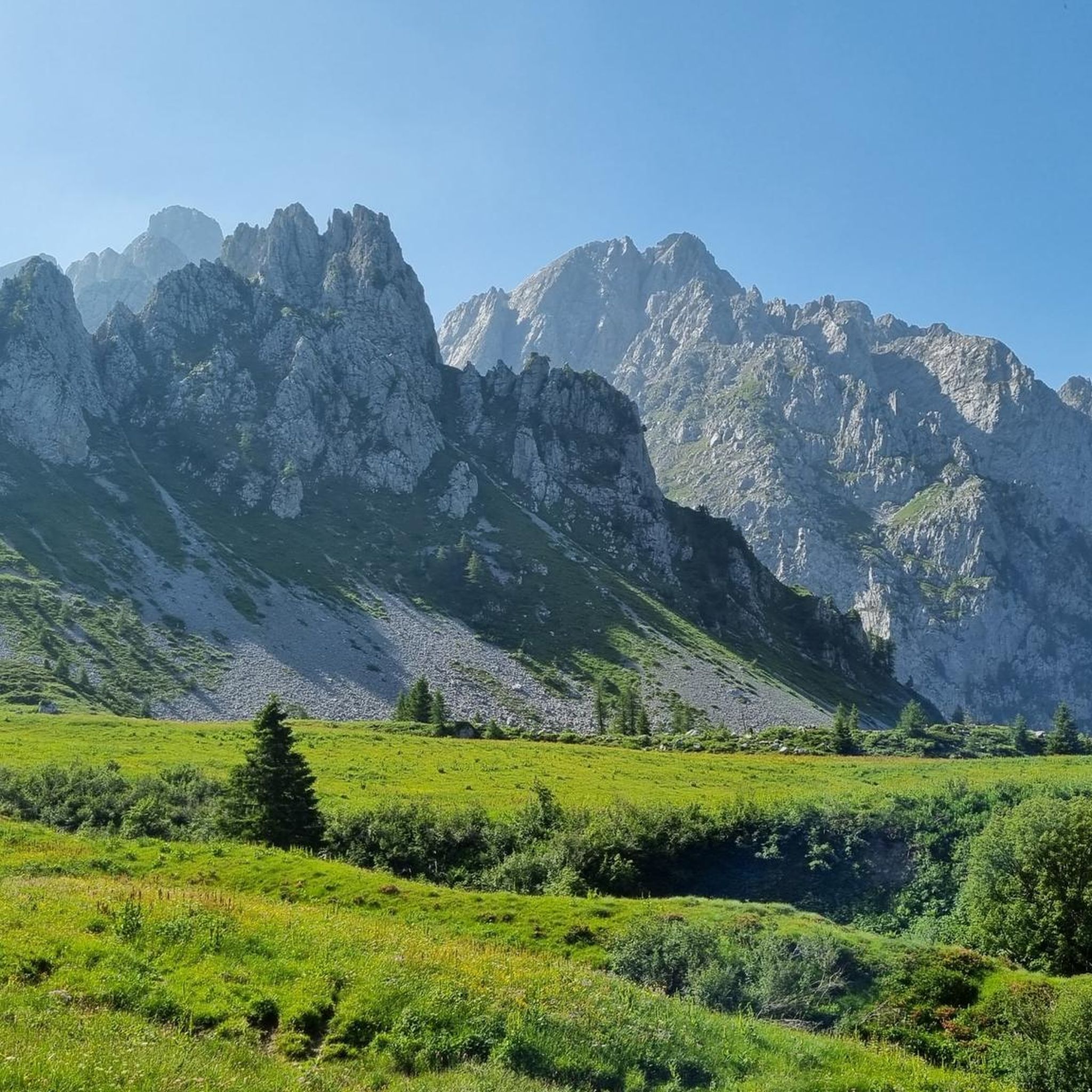
Mountaineering routes Sellero are found within the scenic Val Camonica, offering a rugged and rewarding natural environment in the Italian province of Brescia. The region is characterized by its challenging terrain, with prominent peaks like Monte Sellero reaching 2,733 meters (8,967 feet) above sea level. This area connects with extensive alpine networks, including sections of the Sentiero delle Orobie, providing diverse routes for experienced mountaineers. The landscape features high mountain passes, deep valleys, and an authentic alpine environment.
Best mountaineering…
Last updated: July 4, 2026
3.0
(1)
25
hikers
7.66km
03:17
570m
570m
Moderate mountaineering route. Good fitness required. Mostly accessible paths. Sure-footedness required.
3.0
(1)
24
hikers
7.66km
03:17
570m
570m
Moderate mountaineering route. Good fitness required. Mostly accessible paths. Sure-footedness required.

Sign up for free
4.0
(3)
21
hikers
7.40km
05:14
1,030m
1,030m
Hard mountaineering route. Very good fitness required. Sure-footedness, sturdy shoes and alpine experience required.
9
hikers
11.0km
06:48
1,280m
1,280m
Hard mountaineering route. Very good fitness required. Sure-footedness, sturdy shoes and alpine experience required.
8
hikers
14.0km
05:34
1,010m
1,010m
Hard mountaineering route. Very good fitness required. Mostly accessible paths. Sure-footedness required.
Our route recommendations are based on thousands of hikes, rides, and runs completed by other people on komoot.
Start today with a free account
Your next adventure awaits.
Login or Signup
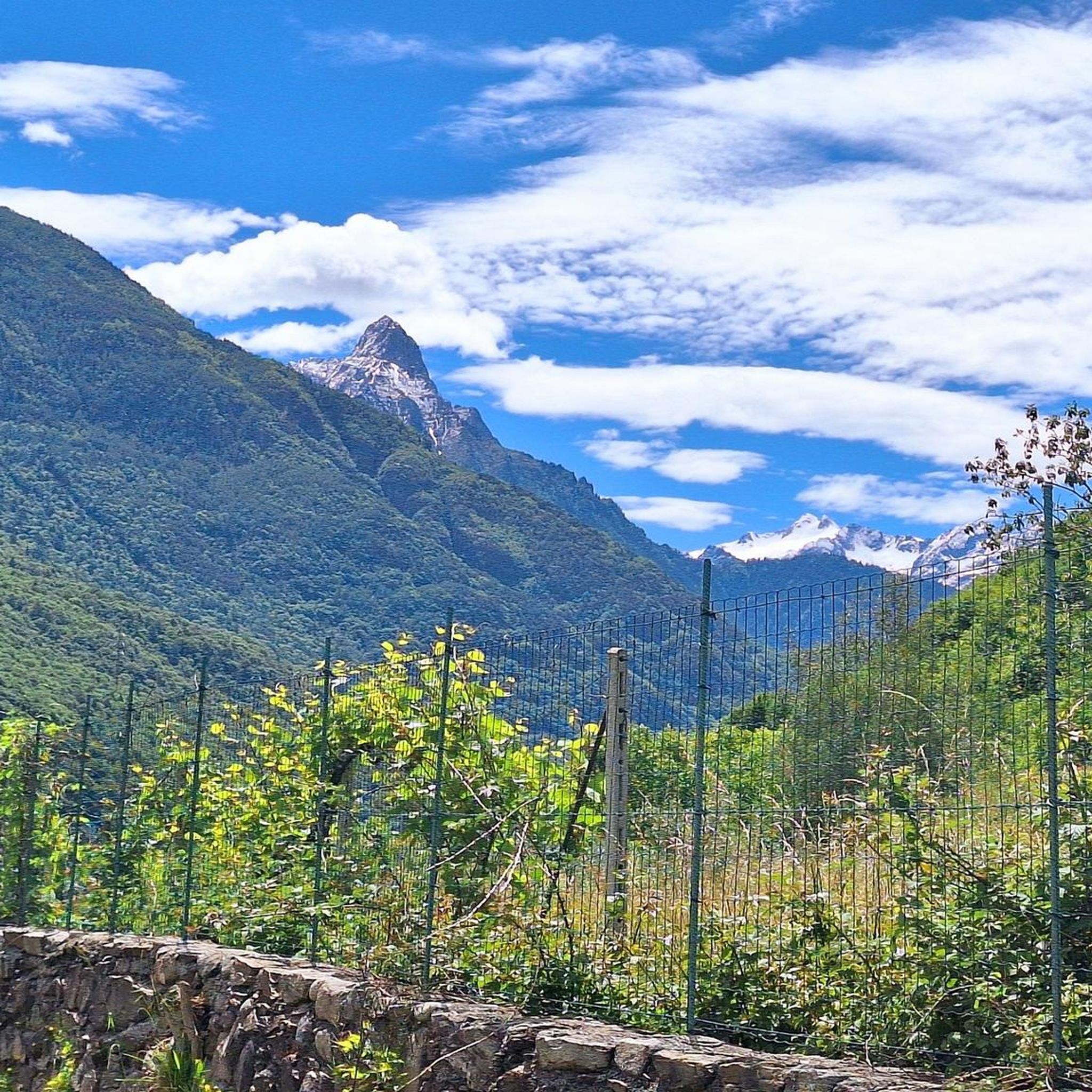
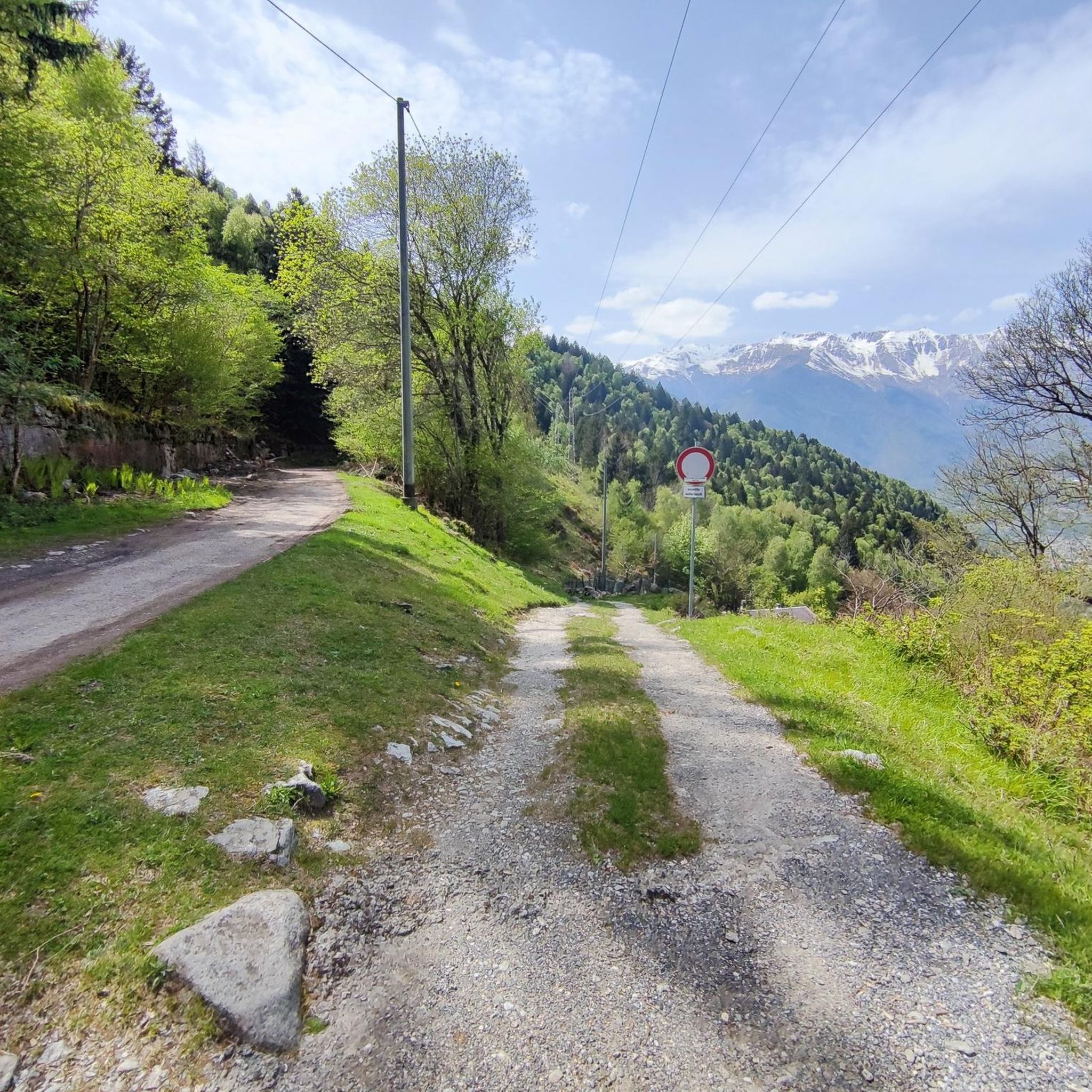
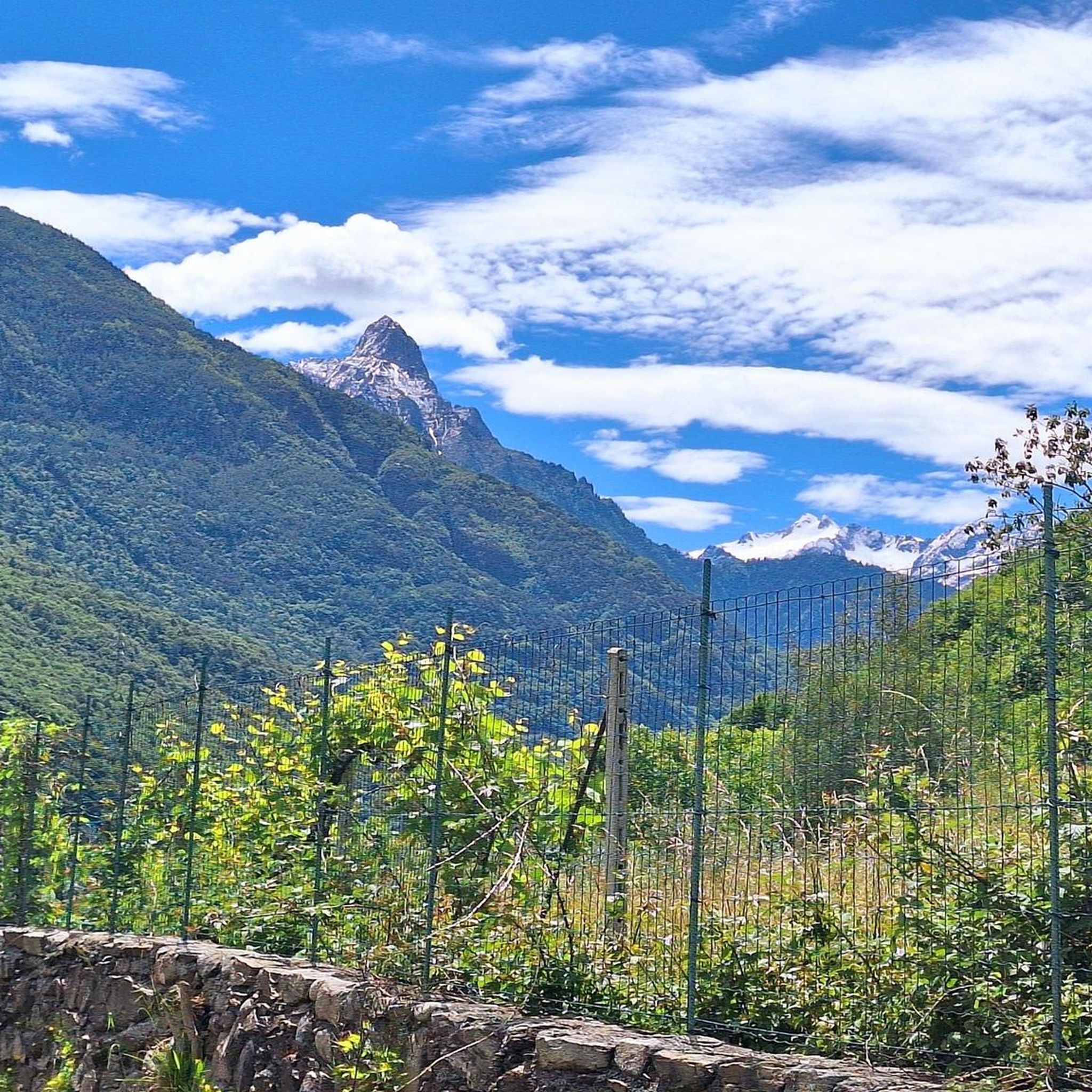
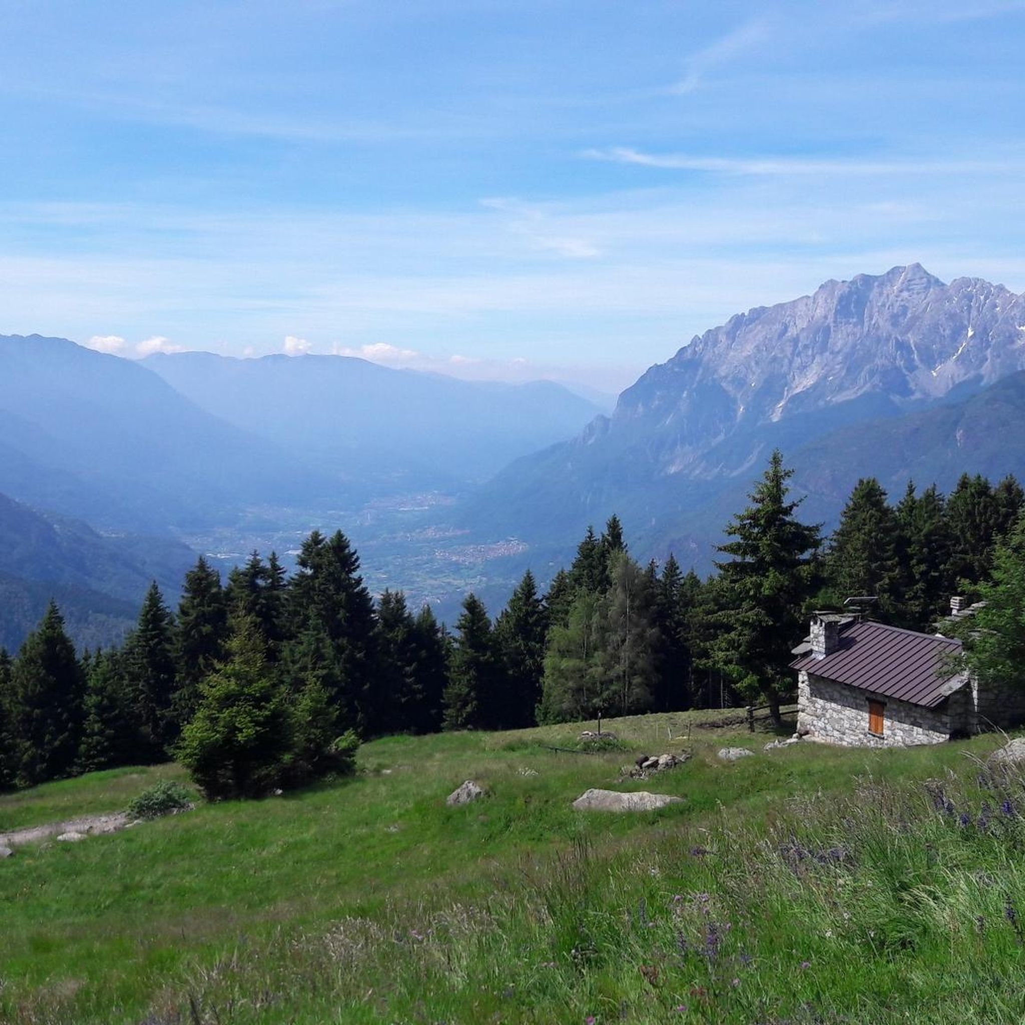

Tips from the Community

Excellent refuge, the refugee is very knowledgeable and always willing to offer advice. The food is good and the facility is well-maintained, and lastly, it's really cheap.
0
0
Excellent refuge. The refugee is very knowledgeable and available for advice. The food is good, the structure is well-maintained, sustainable, and finally, it's cheap for what you get. Highly recommended.
0
0

The last stretch to reach the cross must be done on foot or carrying the bike on your shoulder, but the view is certainly worth it. Beautiful view even if (obviously) it's very windy at the top. In mid-June there was still some residual snow, so I recommend going there from July onwards.
1
0

The refuge, built in the 1930s, is located at the base of the Volano basin, a splendid plateau enclosed like an amphitheater between the Colombè crests, the Badile Camuno peak and the Tredenus peaks.
0
0

panoramic peak reachable via a well-marked path.
0
0

Pizzo Badile Camuno, m. 2.435, is located at the south-western end of the Adamello Group. It stands in the middle Valle Camonica and owes its name to the curious shovel shape of its top.
2
1

Main artificial lake of Val Miller at an altitude of 2160m, reachable from Ponte del Guat: it overlooks Val Malga
0
0

The Serafino Gnutti refuge is located at an altitude of 2,166 meters in the splendid Val Miller. The refuge can be reached in about 2 hours of walking starting from the Ponte del Guat locality along the path that passes through the famous "Scale Del Milller", accessible to all without major difficulties, in an enchanting scenery of wild beauty.
3
0
Frequently Asked Questions
What kind of mountaineering terrain can I expect around Sellero?
The region around Sellero, nestled in Val Camonica, is characterized by challenging alpine terrain. You'll encounter prominent peaks like Monte Sellero, high mountain passes such as Passo del Sellero, and deep valleys. The area connects to extensive trail networks, including sections of the Sentiero delle Orobie, offering an authentic alpine experience with features like stone bridges over mountain streams.
Are there any moderate mountaineering routes in Sellero for those building experience?
While many routes in Sellero are challenging, there are a couple of moderate options. You could try the Lago Miller – Malga del Miller loop from Malga Premassone, which is about 7.7 km long and offers views of alpine lakes and mountain pastures. This route is a good choice if you're looking for a less strenuous but still rewarding experience.
What natural features and landmarks can I discover along the mountaineering routes?
Mountaineering around Sellero offers stunning natural features. You can explore the scenic Valle del Sellero, which provides access to many trails and glimpses of the Cascata del Sellero. The mesmerizing Cascata del Pizzolo waterfall is also a natural wonder worth a detour. Additionally, you might encounter various mountain passes like Campelli Pass or Vivione Pass, which offer breathtaking views.
Are there any circular mountaineering routes available in Sellero?
Yes, several routes in Sellero are circular. For instance, the Pizzo Badile Camuno – Rifugio De Marie al Volano loop from Paspardo is a challenging 7.3 km path with significant elevation gain. Another circular option is the Malga del Miller – Lago Miller loop from Malga Premassone, which is a longer 13.4 km route through the upper Val Camonica.
What do other mountaineers say about the routes in Sellero?
The mountaineering routes in Sellero are highly regarded by the komoot community, with an average rating of 3.75 stars from over 8 reviews. Mountaineers often praise the challenging alpine peaks, extensive trail networks, and the panoramic views encountered on demanding ascents.
Are there any historical or cultural points of interest near the mountaineering trails?
Beyond the natural beauty, the Sellero region has a rich historical and cultural context. You can find evidence of ancient mining activity and prehistoric rock carvings, particularly in the Communal Archaeological and Mining Park of Sellero. These sites offer a unique opportunity to combine outdoor adventure with cultural exploration.
What are some of the more challenging mountaineering routes in the area?
Sellero is known for its challenging routes. Besides the Pizzo Badile Camuno – Rifugio De Marie al Volano loop, you could consider the First Canyon – View of the Southern Valley loop from Lozio, which covers nearly 11 km with over 1200 meters of elevation gain. Another demanding option is the Laghetto del Piz Tri – Piz Tri loop from Loritto, a 14 km route with over 1000 meters of ascent.
Are there any huts or refuges available along the mountaineering routes for breaks or overnight stays?
Yes, the region around Sellero features several huts and bivouacs that can serve as resting points or for overnight stays on longer tours. Notable options include the Campione Hut, Cimon della Bagozza Hut, and the Don Giulio Corini Bivouac. These are often integrated into the extensive trail networks.
What is the best time of year for mountaineering in Sellero?
The best time for mountaineering in Sellero is typically during the warmer months, from late spring to early autumn. During this period, snowmelt allows access to higher elevations, and weather conditions are generally more stable. However, always check local weather forecasts and trail conditions before heading out, as alpine environments can be unpredictable.
Are there options for multi-day mountaineering trips in the Sellero area?
Yes, Sellero's integration into broader alpine networks like the Sentiero 4 Luglio and Sentiero delle Orobie makes it suitable for multi-day mountaineering. These extensive trail systems connect various peaks and passes, allowing for longer expeditions. Utilizing the huts and bivouacs in the area can facilitate multi-day planning.
Is it possible to reach the trailheads using public transport?
While specific public transport options to every trailhead can vary, the Val Camonica region generally has some public transport services. However, for many high-alpine mountaineering routes, reaching the exact trailhead might require a combination of public transport and a final short taxi ride or carpooling. It's advisable to research specific bus routes to villages near your chosen starting point.
Are there any less crowded mountaineering routes around Sellero?
While the popular routes can see more traffic, the extensive network of trails in the Bergamasque Alps and Prealps means you can often find quieter paths. Exploring routes that venture deeper into the valleys or those that are slightly longer and more demanding tend to be less frequented, offering a more solitary alpine experience.
Most popular attractions around Sellero

Get inspired with the komoot mobile app


Explore more
Browse the best Mountain Hikes & Routes in other regions.
