The best MTB trails around Rugendorf
4.6
(1393)
3,987
riders
18
rides
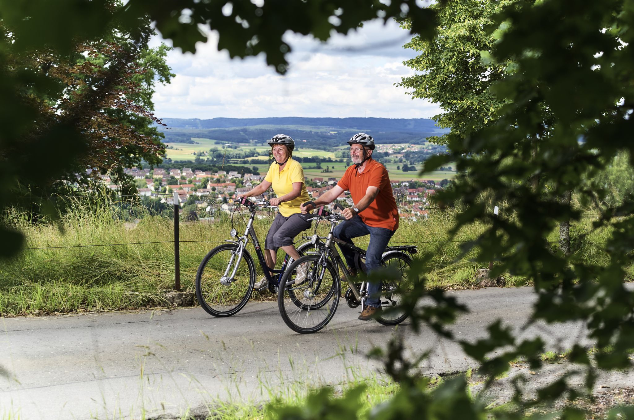
Mountain biking around Rugendorf offers a diverse landscape characterized by rolling hills, dense forests, and varied topography within the Franconian Forest. The region's geography, including the steep Franconian Line and river confluences, provides a mix of terrain suitable for different skill levels. This area is known for its green spaces and agricultural land, creating a scenic backdrop for outdoor activities.
Best mountain bike trails around Rugendorf
- The most popular mountain bike trail is Mainaue, Kulmbach – Rugendorf natural swimming pond…
Last updated: October 14, 2026
4.7
(10)
37
riders
32.2km
01:55
210m
210m
Easy mountain bike ride. Great for any fitness level. Suitable for all skill levels.
5.0
(2)
16
riders
24.0km
01:33
230m
230m
Easy mountain bike ride. Great for any fitness level. Suitable for all skill levels.

4.5
(2)
6
riders
38.1km
03:03
610m
610m
Moderate mountain bike ride. Good fitness required. Advanced riding skills necessary.
3.3
(3)
7
riders
Easy mountain bike ride. Great for any fitness level. Suitable for all skill levels.
5
riders
26.2km
02:04
500m
500m
Moderate mountain bike ride. Good fitness required. Advanced riding skills necessary.
Get access to more routes and recommendations from other explorers.
Already have an account?
Our route recommendations are based on thousands of hikes, rides, and runs completed by other people on komoot.
Start today with a free account
Your next adventure awaits.


Other adventures around Rugendorf

Tips from the Community

The historic sandstone arch bridge in Untersteinach (Kulmbach district, Bavaria) is a protected architectural monument and is considered a true masterpiece of historical architecture. It spans the Schorgast river directly in the old town center and represents the region's rich, traditional stonemasonry.
2
0
The Plassenburg towers high above the town of Kulmbach in the Upper Franconian Main region and offers far-reaching views from various points.. The mighty Hohenzollern fortress is one of the most impressive Renaissance castles in Germany.
3
0
Industrial historical monument: Serves as a memento of traditional transport and material economy. Located in the area of the flood channel and integrates as a visual landmark into the hiking and cycling path.
2
0
The Plassenburg is an imposing fortress and castle complex above the Upper Franconian town of Kulmbach. It is one of the most significant Renaissance structures in Germany and the most striking landmark in the region. It serves as a visual orientation point and an architectural highlight of the landscape.
3
0

Very nice, free facility. The only downside: dogs are not allowed!
1
0

beautifully located small chapel
0
0


A beautiful chapel, so peaceful, and everything so beautifully designed. The wonderful glass images of the creation story, the modern wooden cross, the beautiful open beams... There are also peace candles you can light for 50 cents, and a wonderful candlestick. There's also a book on the sandstone altar where you can write something. Simply beautiful and harmonious.
0
0
Frequently Asked Questions
How many mountain bike trails are available around Rugendorf?
There are 18 mountain bike trails around Rugendorf, offering a range of options for different skill levels. The majority are moderate, with 14 moderate trails, 3 easy trails, and 1 difficult trail.
What kind of terrain can I expect on mountain bike trails near Rugendorf?
The terrain around Rugendorf is diverse, characterized by rolling hills, dense forests, and varied topography within the Franconian Forest. You'll encounter a mix of agricultural land and green spaces, with the steep Franconian Line to the east adding to the varied landscape. River confluences also contribute to the scenic beauty.
Are there any trails that feature waterfalls or unique natural features?
Yes, you can explore trails that pass by notable natural features. For instance, the Lindig Traverse Trail – Veitlahm Waterfall loop from Rugendorf includes the Veitlahm Waterfall. The region is also home to the unique Steinach Gorge, known for its rock formations and diverse ecosystem.
Are there any family-friendly mountain bike trails in Rugendorf?
Yes, there are several easy trails suitable for families. The Mainaue, Kulmbach – Rugendorf natural swimming pond loop from Rugendorf is an easy 20.3-mile (32.7 km) route that circles the Rugendorf natural swimming pond, offering a pleasant ride. Another easy option is the Poppenholz Village Chapel – Rugendorf natural swimming pond loop from Rugendorf.
What are some interesting landmarks or viewpoints I can see while mountain biking?
Many trails offer views of local landmarks. The Festung Rosenberg loop from Rugendorf explores the area around the historic Plassenburg Fortress. You might also encounter the Radspitz Tower, which offers panoramic views, or the Swedish Fortification, a historical site.
Are there any loop trails for mountain biking in Rugendorf?
Yes, most mountain bike trails around Rugendorf are designed as loops, allowing you to start and finish at the same point. Examples include the Mainaue, Kulmbach – Rugendorf natural swimming pond loop from Rugendorf and the Rennesberger Linde Monument – Fischbach Flowtrail loop from Rugendorf.
What is the best time of year for mountain biking in Rugendorf?
The best seasons for mountain biking in Rugendorf are generally from spring to autumn. During these months, the weather is most favorable for exploring the diverse landscape, with comfortable temperatures and less chance of challenging winter conditions.
What do other mountain bikers enjoy most about the trails in Rugendorf?
The mountain bike trails around Rugendorf are highly rated by the komoot community, with an average score of 4.6 stars from over 1,100 reviews. Riders often praise the varied topography, the scenic beauty of the Franconian Forest, and the well-maintained network of paths that cater to different skill levels.
Are there any places to relax or swim after a ride?
Yes, the Mainaue, Kulmbach – Rugendorf natural swimming pond loop from Rugendorf passes by the Naturbadeweiher Rugendorf. This natural swimming pond features a Kneipp hydrotherapy facility, a grill area, and a camping site, making it a great spot to cool down and relax after your ride.
Can I find cafes or pubs near the mountain bike trails in Rugendorf?
While specific cafes directly on the trails are not detailed, the region offers amenities. The Kieswäsch Lake (Mainaue Recreation Area), which is part of the wider area, has the Kieswäsch Kiosk. Rugendorf itself, as a municipality, provides local establishments where you can find refreshments.
What are the typical elevation changes on mountain bike trails in Rugendorf?
The trails around Rugendorf feature varied elevation changes due to the rolling hills and diverse topography. For example, the Rennesberger Linde Monument – Fischbach Flowtrail loop from Rugendorf involves significant climbs and descents, with over 750 meters of elevation gain and loss. Even easier routes like the Festung Rosenberg loop from Rugendorf still include around 240 meters of elevation change.
Most popular routes around Rugendorf
Most popular attractions around Rugendorf

Get inspired with the komoot mobile app


Explore more
Browse the best MTB trails in other regions.
