The best road cycling routes around Claut
4.5
(57)
2,088
riders
31
rides
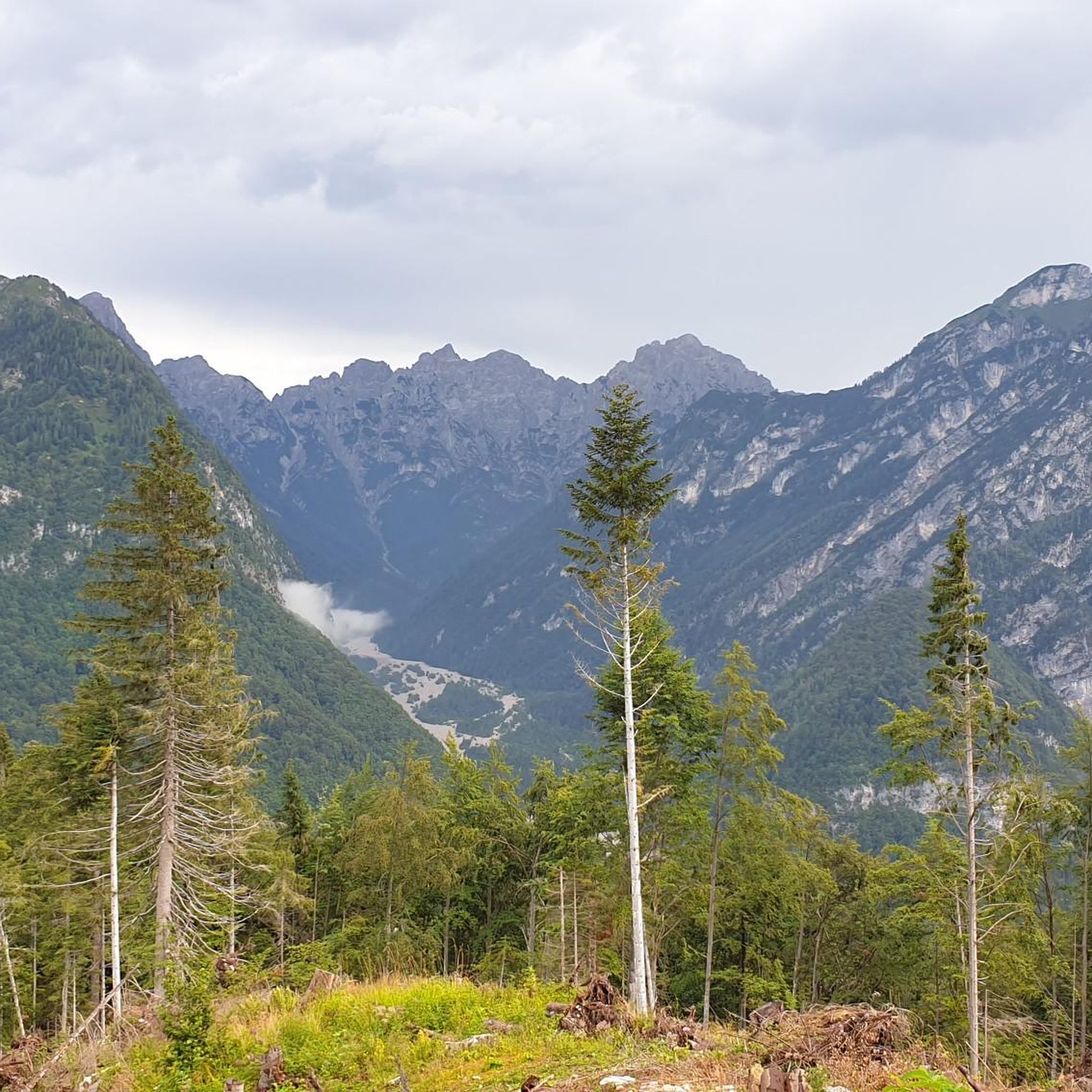
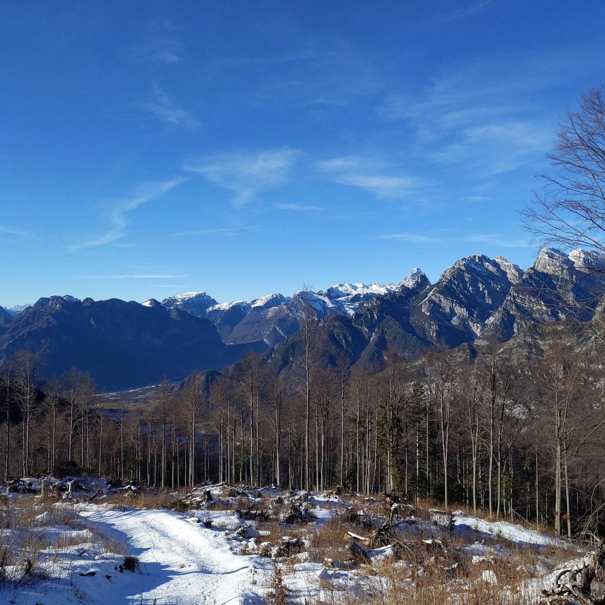
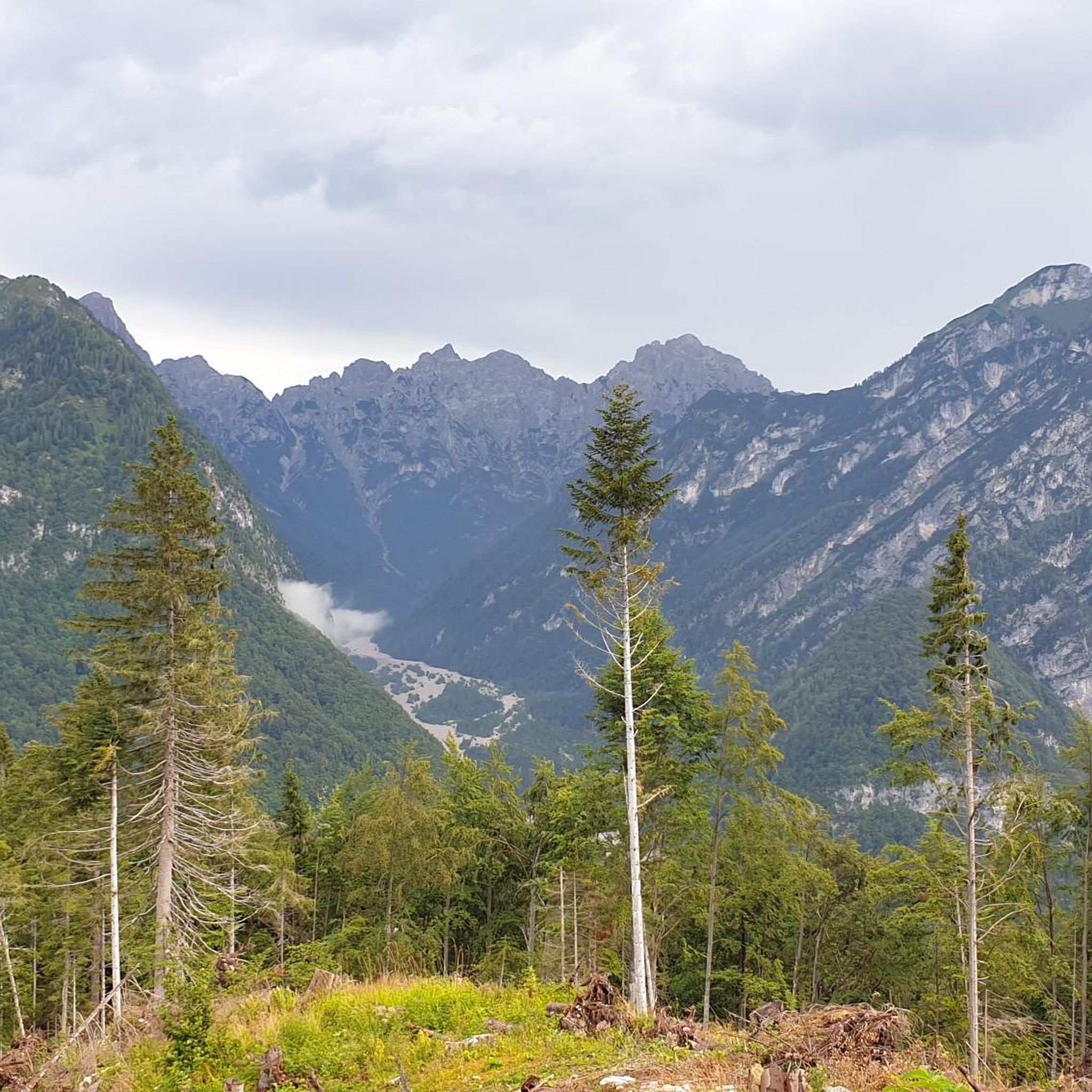
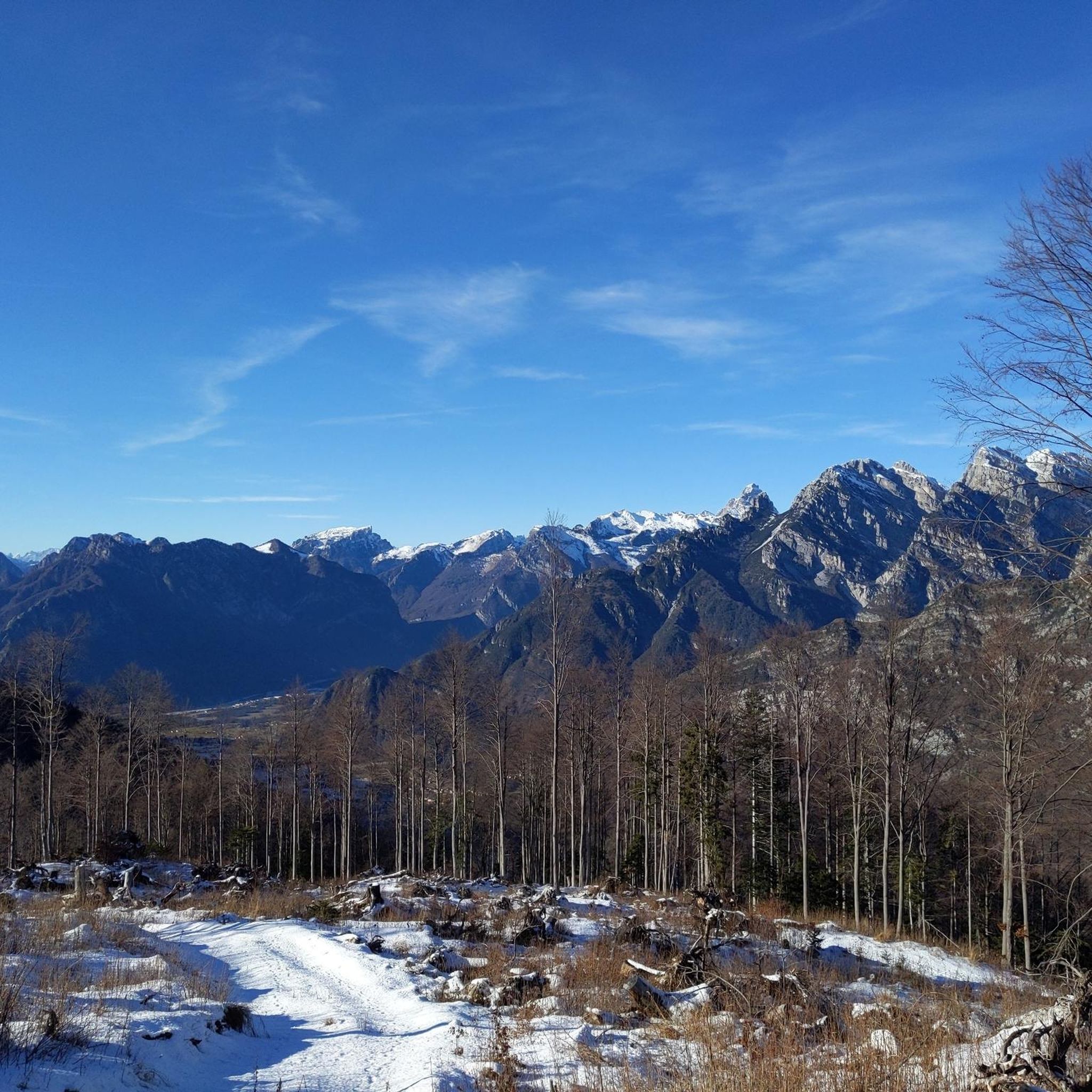
Road cycling routes around Claut are situated in the Valcellina region, characterized by its mountainous terrain, deep valleys, and the presence of significant water bodies like Lake Barcis. The landscape features numerous ascents to mountain passes and descents through forested areas. Road cyclists can expect varied topography, including sustained climbs and winding roads through the foothills of the Dolomites.
Best road cycling routes around Claut
- The most popular road cycling route is Lake Barcis – Cellina Bridge loop from Claut / Cjolt, a 66.7 miles (107.3 km) trail that takes 5 hours 48 minutes to complete. This difficult route features significant elevation gain and scenic views of Lake Barcis.
- Another top favourite among local road cyclists is Footbridge over Lake Barcis – Piancavallo climb loop from Barcis / Barce, a difficult 36.7 miles (59.1 km) path. This route includes a substantial climb towards Piancavallo, offering panoramic vistas.
- Local road cyclists also love the Passo della Mauria (1298 m) – Passo di Mauria loop from Forni di Sopra / For Disora, a 36.1 miles (58.1 km) trail leading through mountain passes, often completed in about 3 hours 12 minutes.
- Road cycling around Claut is defined by mountain passes, deep valleys, and lake views. The network offers options for easy, moderate, and difficult ability levels, catering to various road cycling preferences.
- The routes in Claut are highly rated by the komoot community with an average score of 4.6 stars from over 60 reviews. More than 2000 road cyclists have used komoot to explore Claut's varied terrain.
Last updated: October 9, 2026
3.0
(1)
52
riders
39.9km
02:24
910m
910m
Hard road ride. Very good fitness required. Mostly well-paved surfaces and easy to ride.
4.5
(4)
48
riders
52.7km
02:36
720m
720m
Moderate road ride. Good fitness required. Mostly well-paved surfaces and easy to ride.

4.5
(2)
27
riders
64.7km
03:37
1,410m
1,410m
Hard road ride. Very good fitness required. Mostly well-paved surfaces and easy to ride.
24
riders
81.4km
04:04
1,200m
1,200m
Hard road ride. Very good fitness required. Some segments of this route may be unpaved and difficult to ride.
3.0
(1)
20
riders
30.0km
01:42
610m
610m
Moderate road ride. Good fitness required. Mostly well-paved surfaces and easy to ride.
Get access to more routes and recommendations from other explorers.
Already have an account?
Our route recommendations are based on thousands of hikes, rides, and runs completed by other people on komoot.
Start today with a free account
Your next adventure awaits.


Tips from the Community

Good sea view from a few spots.
2
0
Cycle path MV unfortunately without asphalt with lake view.
1
0
Scenically beautiful route without asphalt.
2
0

The new arch bridge over Lake Barcis, inaugurated in the early months of 2021, is a strategic infrastructure located near the Ponte Antoi dam. It is a single-span arch bridge, approximately 78 meters long with an overall width of 12.90 meters. It allows the transit of heavy vehicles — particularly those used for transporting inert materials during the basin's de-silting operations — avoiding passage over the historic dam or through the inhabited center of Barcis. https://www.fvgstrade.it/it/20585/fase-finale-varo-ponte-di-barcis
0
0
Lake Aprilis, better known as Lake Barcis, is an artificial basin created in 1954 by damming the Cellina stream near the Ponte Antoi gorge. It owes its characteristic brilliant green color to the combination of sunlight with minerals and calcareous sediments carried by the water. The presence of dense beech and fir forests along the banks accentuates the emerald green tones.
1
0
Lake Aprilis, better known as Lake Barcis, is an artificial basin created in 1954 by damming the Cellina stream near the Ponte Antoi gorge. Its characteristic brilliant green color is due to the combination of sunlight with minerals and calcareous sediments carried by the waters. The presence of dense beech and fir forests along the banks accentuates the emerald green tones.
1
0

The Tambre Clock Tower (Tambruz hamlet) is a charming historical point of interest and an important landmark for cycling and hiking enthusiasts. It is a monument and historical site located in the municipal territory of Tambre (Belluno), positioned along the routes leading up to the splendid natural setting of Cansiglio (Alpago).
0
0

Frequently Asked Questions
What is the general difficulty level of road cycling routes around Claut?
The road cycling routes around Claut offer a varied topography, catering to different skill levels. You'll find a good mix of options, with 15 moderate routes and 16 difficult routes available. Only 2 routes are classified as easy, indicating a preference for more challenging terrain in the area.
Are there beginner-friendly road cycling routes in Claut?
While Claut is known for its mountainous terrain and challenging climbs, there are a few options for beginners. The region offers 2 routes classified as easy, which are suitable for those new to road cycling or looking for a more relaxed ride. These routes typically feature less elevation gain and shorter distances.
Where can I find challenging road cycling routes near Claut?
Claut is an excellent destination for experienced road cyclists seeking a challenge. The area boasts 16 difficult routes, characterized by significant elevation gains and winding roads through mountain passes. For example, the Lake Barcis – Cellina Bridge loop from Claut / Cjolt is a demanding 66.7-mile route with over 2000 meters of ascent. Another challenging option is the Footbridge over Lake Barcis – Piancavallo climb loop from Barcis / Barce, which includes a substantial climb towards Piancavallo.
What kind of distances and elevations can I expect on road cycling routes in Claut?
Road cycling routes in Claut vary significantly in length and elevation. You can find shorter routes like the View of Lamosano – Val Cantuna from Cadola loop from Chies d'Alpago at around 19.8 miles (31.9 km) with 615 meters of ascent. Longer, more demanding routes, such as the Footbridge over Lake Barcis – Pian di Cansiglio loop from Erto e Casso, can stretch over 78 miles (126 km) with more than 2200 meters of climbing.
How long do road cycling routes around Claut typically take to complete?
The duration of road cycling routes in Claut varies based on distance, elevation, and your cycling pace. Shorter, moderate routes might take around 1.5 to 2 hours. More challenging and longer routes, such as the Lake Barcis – Cellina Bridge loop from Claut / Cjolt, can take approximately 5 hours 48 minutes, while others like the Passo della Mauria (1298 m) – Passo di Mauria loop from Forni di Sopra / For Disora are often completed in about 3 hours 12 minutes.
When is the best time of year for road cycling in Claut?
The best time for road cycling in Claut is typically from late spring through early autumn (May to October). During these months, the weather is generally milder, and mountain passes are clear of snow, offering optimal conditions for exploring the region's diverse routes. Summer provides warm temperatures, while spring and autumn offer pleasant riding with vibrant foliage.
Can I go road cycling in Claut during winter?
Road cycling in Claut during winter can be challenging due to snow and ice, especially at higher elevations and mountain passes. Many routes may become impassable or require specialized equipment. It's advisable to check local weather and road conditions before planning any winter rides, and to stick to lower-elevation routes if attempting to cycle during this season.
What scenic viewpoints can I expect along road cycling routes in Claut?
The mountainous terrain of Claut and the Valcellina region offers numerous scenic viewpoints. Many routes provide panoramic vistas of deep valleys, forested areas, and significant water bodies like Lake Barcis. A notable viewpoint is the First Viewpoint (Skywalk del Dint), which offers breathtaking views. Routes that climb towards areas like Piancavallo also provide extensive scenic overlooks.
Are there any interesting landmarks or natural attractions to see along the road cycling routes?
Yes, the road cycling routes around Claut pass by several natural attractions. You can cycle alongside Lake Barcis and even cross the Footbridge over Lake Barcis. The region is also home to several waterfalls, such as the Vajont Gorge and Waterfall, the Prescudin Stream Waterfall, and the Claut Waterfall, which can be explored as detours or nearby points of interest.
What do other road cyclists enjoy the most about road cycling in Claut?
The road cycling experience in Claut is highly rated by the komoot community, with an average score of 4.6 stars from over 60 reviews. Cyclists often praise the region's diverse topography, which includes challenging mountain passes, deep valleys, and beautiful lake views. The variety of routes, from moderate to difficult, also contributes to its popularity among those seeking an engaging ride in the Dolomites foothills.
Are there circular road cycling routes available in Claut?
Yes, many of the road cycling routes around Claut are designed as loops, allowing you to start and finish in the same location. Examples include the popular Lake Barcis – Cellina Bridge loop from Claut / Cjolt, the Footbridge over Lake Barcis – Piancavallo climb loop from Barcis / Barce, and the Passo della Mauria (1298 m) – Passo di Mauria loop from Forni di Sopra / For Disora. These circular routes are ideal for exploring the region without needing to arrange return transport.
Most popular attractions around Claut

Get inspired with the komoot mobile app


Explore more
Browse the best Road cycling routes in other regions.
