The best walks and hikes around Mortegliano
4.3
(243)
1,856
hikers
82
hikes
Hiking around Mortegliano offers diverse landscapes, from tranquil countryside to accessible trails along natural features. The region is characterized by picturesque agricultural settings and the gentle flow of the Cormor Stream. While Mortegliano itself provides mostly easy terrain, its location offers proximity to the more rugged Prealpi Giulie and Julian Alps for challenging alpine experiences. The area features a range of trails suitable for various fitness levels, including wellness routes with minimal elevation gain.
Best hiking trails around Mortegliano
- The…
Last updated: August 28, 2026
2
hikers
6.66km
01:41
10m
10m
Enjoy an easy 4.1-mile (6.7 km) health walk through the Friulian countryside, passing historic villas and churches with minimal elevation ga
3.5
(4)
41
hikers
Moderate hike. Good fitness required. Easily-accessible paths. Suitable for all skill levels.

Sign up for free
4.3
(7)
16
hikers
Moderate hike. Good fitness required. Easily-accessible paths. Suitable for all skill levels.
6
hikers
Easy hike. Great for any fitness level. Easily-accessible paths. Suitable for all skill levels.
15
hikers
Easy hike. Great for any fitness level. Easily-accessible paths. Suitable for all skill levels.
Get access to more routes and recommendations from other explorers.
Sign up for free
Already have an account?
Our route recommendations are based on thousands of hikes, rides, and runs completed by other people on komoot.
Start today with a free account
Your next adventure awaits.
Login or Signup
Tips from the Community

This section of the trail offers wonderful cycling on a single-track trail. The surface varies, ranging from loamy sand to grass to short gravel sections. In places, the trail is double-tracked. Numerous information boards and benches are located along the trail.
0
0

A very beautiful, naturally preserved biotope with numerous trails along and through the forest. The ground along the forest is gravel, and a standard forest path is easy to cycle through (be careful after rainfall, as springs often overflow the trails).
0
0
The mill is located in a biotope and is a real eye-catcher. It can be reached via two cycle paths (gravel or through the forest). Next to the mill are outbuildings that are used as an event location.
0
0
The mill is located in a biotope and is a real eye-catcher. It can be reached via two cycle paths (gravel or through the forest). Next to the mill are outbuildings that are used as an event location.
0
0

The Braida mill is located near the Flambro springs.
0
0
Beautiful park of the Flambro springs that can be visited with a nice walk.
0
0
Old mill near the Roggia Cormor.
0
0
Frequently Asked Questions
How many hiking trails are available around Mortegliano?
Mortegliano offers a wide selection of routes, with over 45 hiking trails available. These range from easy walks through the countryside to more challenging treks in the nearby Prealpi Giulie and Julian Alps.
Are there easy, family-friendly hiking options in Mortegliano?
Yes, Mortegliano is ideal for families and those seeking easy walks. Many routes traverse the picturesque local countryside and feature minimal elevation gain. For example, the 10mila passi S.Maria la Longa wellness trail is an easy 6 km path designed for health and recreation.
Can I find circular hiking routes in the area?
Absolutely. Many trails around Mortegliano are designed as loops, allowing you to start and finish at the same point. An example is the Biotope of the Corno Marshes loop from Gonars / Gonârs, which takes you through natural marshland.
What kind of natural features can I expect to see on hikes around Mortegliano?
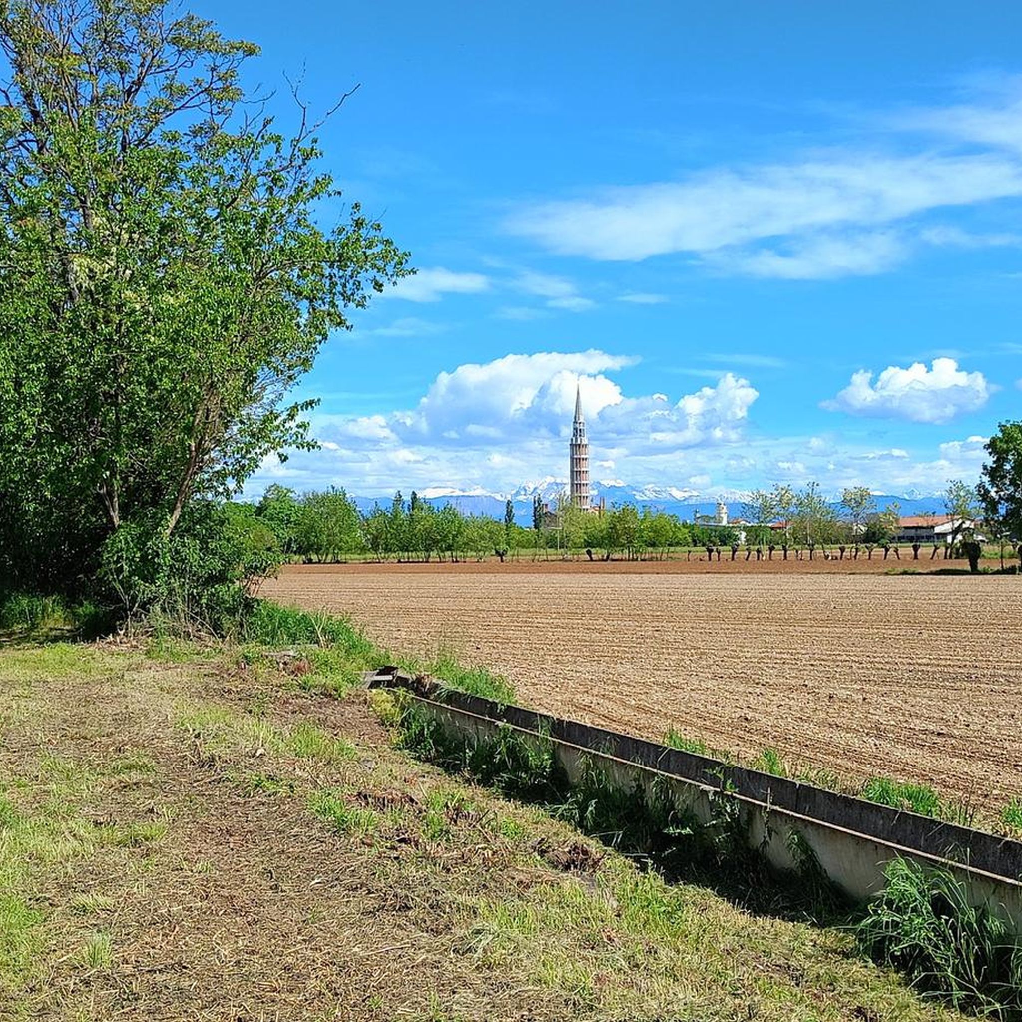
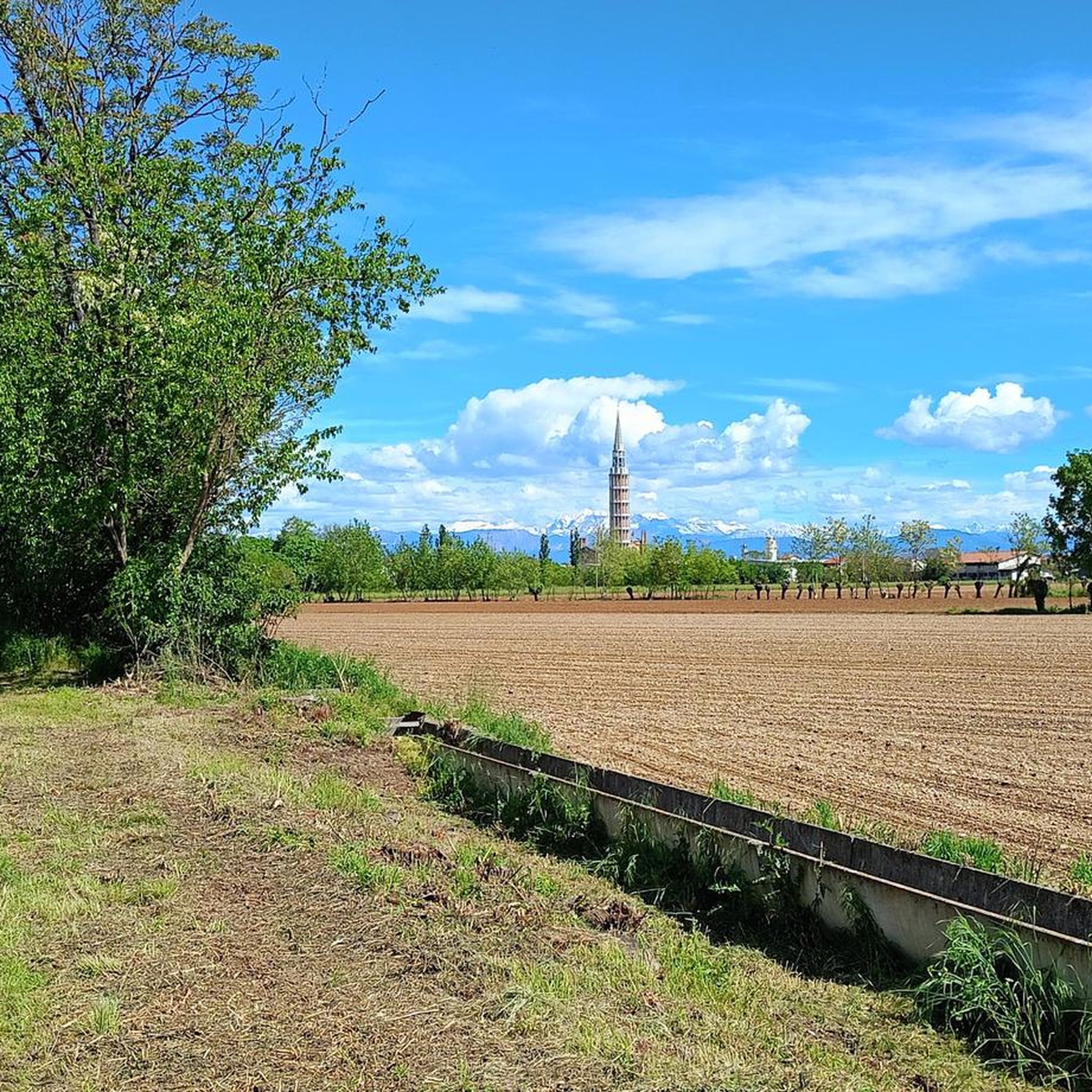
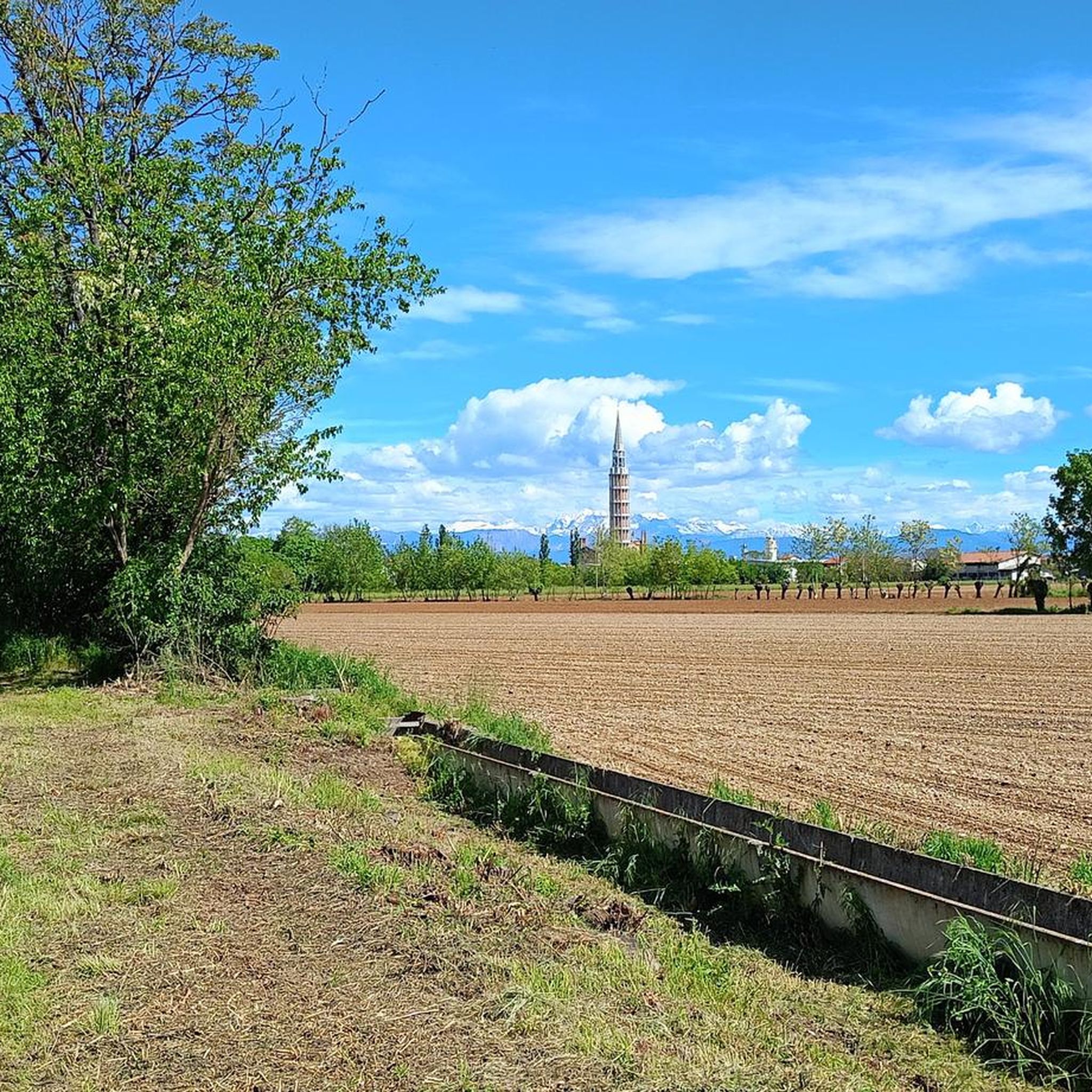
Hikes in Mortegliano often feature tranquil walks through agricultural settings and along the gentle flow of the Cormor Stream. You can also discover natural monuments like the Waterfall on the Cormor River or explore the unique Flambro Biotope.
Are there any historical landmarks or attractions to explore while hiking?
Beyond natural beauty, Mortegliano offers routes that incorporate historical and cultural elements. You can explore the village's ancient architecture or visit nearby historical sites such as the Udine Gate and the historic town of Palmanova, known for its unique star-shaped fortifications.
What is the best time of year to go hiking in Mortegliano?
Mortegliano offers pleasant hiking conditions for much of the year. Spring and autumn provide mild temperatures and beautiful scenery, ideal for exploring the countryside. Summer is also suitable, especially for early morning or late afternoon walks, while winter can offer a different, serene experience on the gentler trails.
Are there more challenging hikes available near Mortegliano?
While Mortegliano itself features mostly gentler terrain, its strategic location provides easy access to the more rugged and dramatic landscapes of the Prealpi Giulie and Julian Alps. These nearby mountain ranges offer challenging trails with significant elevation gains for experienced hikers.
What do other hikers enjoy most about the trails in Mortegliano?
The hiking routes in Mortegliano are highly rated by the komoot community, with an average score of 4.3 stars from over 130 reviews. Hikers often praise the tranquil countryside, the well-maintained wellness trails, and the opportunity to combine nature with cultural exploration.
Are dogs allowed on the hiking trails in Mortegliano?
Generally, dogs are welcome on most public hiking trails in the Mortegliano region, provided they are kept on a leash and owners adhere to local regulations regarding waste disposal. It's always a good idea to check specific trail rules or signage before you go.
Are there any routes that follow the Cormor Stream?
Yes, the Cormor Stream is a notable natural feature in the area. The 'Anello del Cormor' route, which is nearly 9 km long, follows the stream, offering a pleasant natural landscape. This trail typically starts and ends near the village festival area on Via Tomba.
What is the typical duration for hikes in Mortegliano?
Hikes in Mortegliano vary in length and duration. Many easy wellness trails, like the 10,000 Steps of Health: The Way of the Villas - North Trail (6.7 km), can be completed in about 1.5 hours. Longer, moderate routes, such as the Porta Aquileia (Palmanova) – Udine Gate loop (12.9 km), might take around 3 hours or more.
Is parking readily available at trailheads in Mortegliano?
For many local trails in Mortegliano, especially those starting near villages or wellness centers, parking is generally available. Specific information for each trailhead can often be found on komoot tour pages or local tourism websites.
Most popular routes around Mortegliano
Most popular attractions around Mortegliano

Get inspired with the komoot mobile app


Explore more
Browse the best Hikes in other regions.
