The best MTB trails around Camino Al Tagliamento
4.3
(202)
868
riders
191
rides
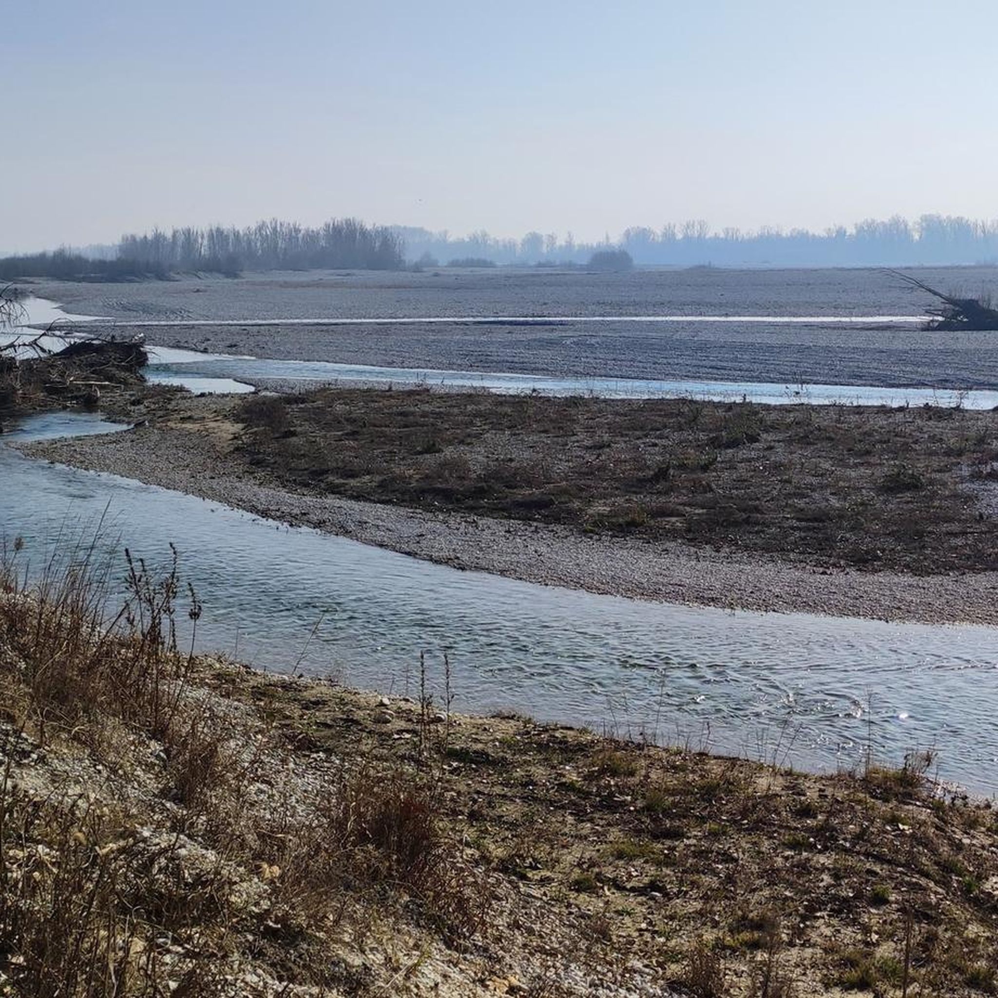
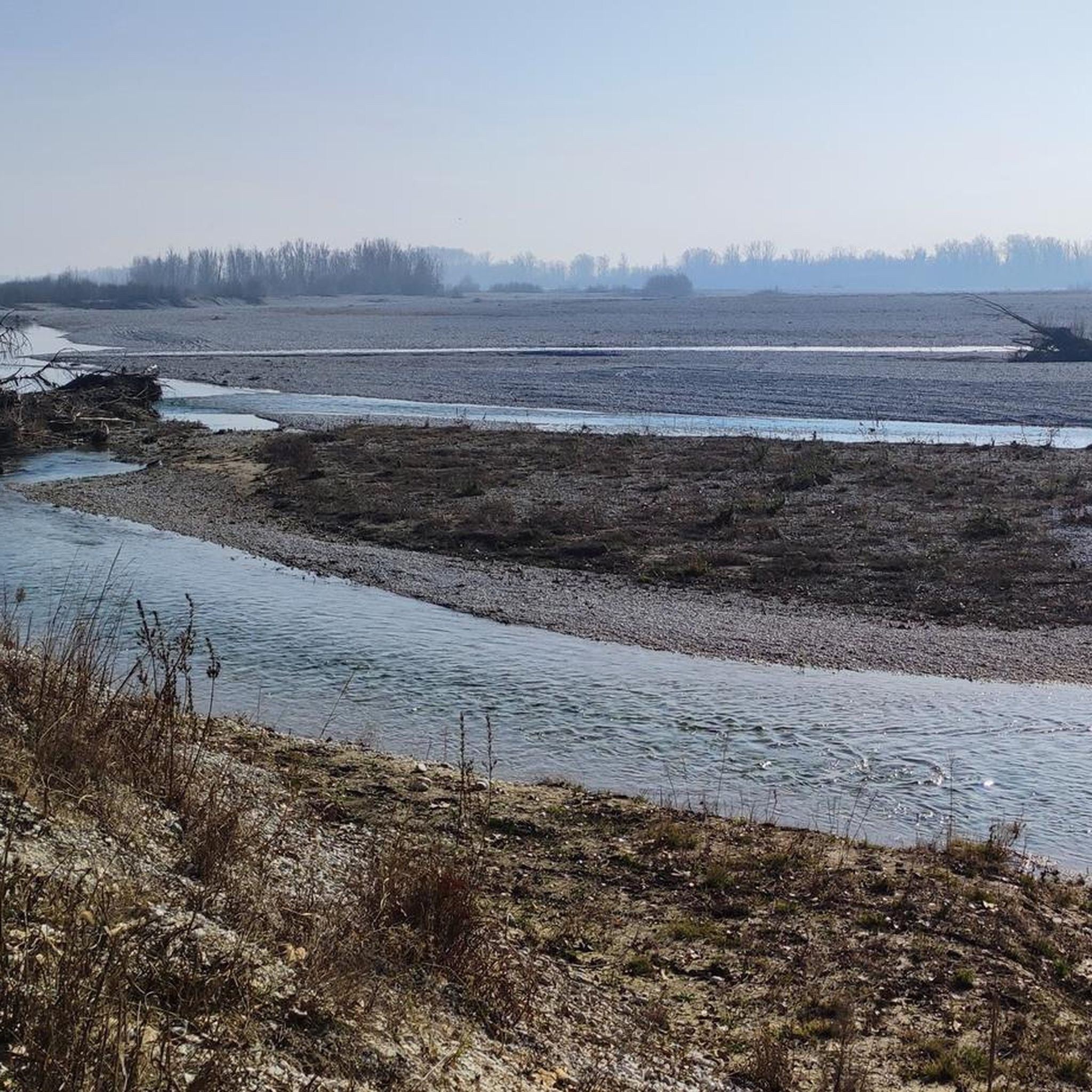
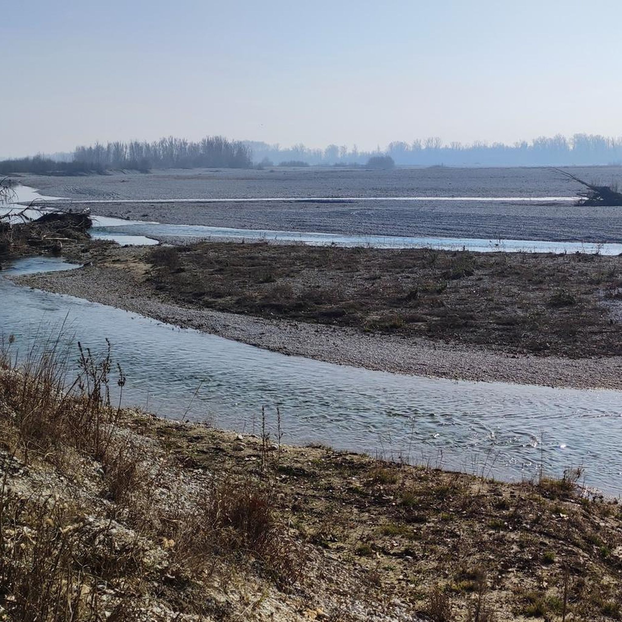
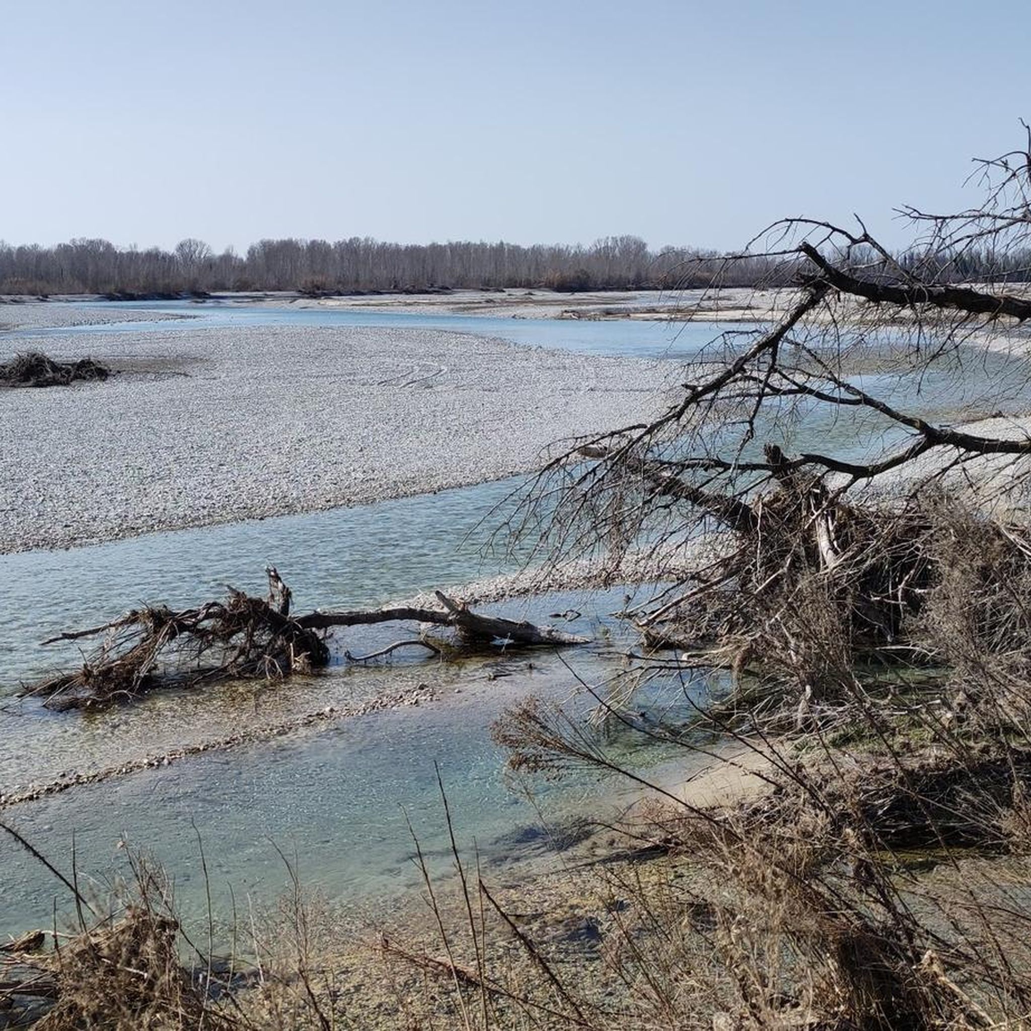
Mountain biking around Camino Al Tagliamento offers routes through a landscape shaped by the Tagliamento River, known for its braided channels and expansive gravel beds. The region features a mix of woods, prairies, and dirt roads, providing varied terrain for cyclists. Elevation gains are generally low, making many routes accessible. This area provides opportunities to explore a unique river ecosystem and surrounding countryside.
Best mountain bike trails around Camino Al Tagliamento
- The most popular mountain bike trail is Mountainbike loop…
Last updated: July 5, 2026
4.8
(8)
30
riders
Moderate mountain bike ride. Good fitness required. Advanced riding skills necessary.
4.4
(12)
25
riders
43.9km
02:57
70m
70m
Moderate mountain bike ride. Good fitness required. Suitable for all skill levels.

Sign up for free
3.6
(10)
31
riders
Moderate mountain bike ride. Great for any fitness level. Advanced riding skills necessary.
3.8
(14)
36
riders
22.9km
01:35
30m
30m
Easy mountain bike ride. Great for any fitness level. Suitable for all skill levels.
4.0
(3)
26
riders
38.2km
02:46
60m
60m
Moderate mountain bike ride. Good fitness required. Suitable for all skill levels.
Get access to more routes and recommendations from other explorers.
Sign up for free
Already have an account?
Our route recommendations are based on thousands of hikes, rides, and runs completed by other people on komoot.
Start today with a free account
Your next adventure awaits.
Login or Signup

Tips from the Community

A beautiful area both from a naturalistic and hiking point of view. Perfect for an MTB ride that never disappoints!
1
0


Wonderful and enjoyable cycling on perfect gravel and pebbles along canals and tall trees.
0
0
The Castello di Flambruzzo estate is a formerly magnificent building, remodeled several times over the centuries, whose current layout dates back to the 16th century. It is surrounded by an extensive English-style park covering an area of almost four hectares. The ground floor of the building is designed in the style of Venetian villas, with a main hall featuring two French doors and four doors leading to adjoining rooms, including two libraries and the Sala Badoglio. The south-facing halls open onto the large terrace overlooking the park and swimming pool. The villa also has a private chapel where religious weddings can be held. Source: https://www.turismofvg.it/de/wedding/unsere-einrichtungen/castello-di-flambruzzo?LangSetCMS=de
0
0
A very old watermill in a shady spot with lots of grapes, apparently no longer in operation.
0
0
This concrete bridge, approximately 60 cm wide, offers a great way to add a bit of adventure to your bike ride. It's easy to cross from both sides, but be careful when it's wet.
0
0
In the inner courtyard, the right side is lined with dilapidated buildings, while the left side is mostly renovated or well-preserved. Therefore, the view and impression are somewhat ambivalent.
0
0

A beautiful cycling route along the river. Most of the time, though, in the sun.
0
0
Frequently Asked Questions
How many mountain bike trails are available in Camino Al Tagliamento?
There are over 170 mountain bike trails around Camino Al Tagliamento, offering a wide range of options for different skill levels. You'll find 60 easy routes, 111 moderate routes, and 7 more challenging trails.
What kind of terrain can I expect on mountain bike trails around Camino Al Tagliamento?
The terrain around Camino Al Tagliamento is quite diverse, shaped significantly by the Tagliamento River. You can expect to ride on dirt roads, forest paths, and gravel routes, often alongside the river's braided channels and expansive gravel beds. Some routes also feature prairies and small fords, providing a varied and engaging experience.
Are there any family-friendly mountain bike routes in the area?
Yes, Camino Al Tagliamento offers numerous family-friendly options. With 60 easy routes available, many paths are suitable for leisurely cycling. Areas like the 'Ring of the Risorgive' and routes through the parks of Codroipo are particularly well-suited for families, combining natural beauty with accessible paths.
What historical sites or natural landmarks can I see along the mountain bike trails?
The region is rich in both historical and natural attractions. You can cycle past the grandiose 18th-century Villa Manin, explore the medieval charm of Valvasone with its imposing castle, or visit the late 16th-century Villa Kechler. Nature lovers will appreciate the Braida Mill and Flambro Springs, a natural biotope with historical significance.
What do other mountain bikers enjoy most about the trails in Camino Al Tagliamento?
The mountain bike trails in Camino Al Tagliamento are highly rated by the komoot community, with an average score of 4.3 stars from over 270 reviews. Riders often praise the unique river landscape of the Tagliamento, the mix of woods and prairies, and the accessibility of many routes, making it enjoyable for various skill levels.
Are there any circular mountain bike routes available?
Yes, many routes in the area are circular, allowing you to start and end at the same point. For example, the Mountainbike loop from Camino al Tagliamento is a moderate 22.5 km trail that offers a great way to explore the local countryside.
Are there any advanced or technical mountain biking trails in Camino Al Tagliamento?
While the region is known for its generally low elevation gains and accessible paths, there are 7 routes classified as difficult for those seeking more of a challenge. These routes often involve longer durations and may require good fitness and sure-footedness, utilizing the diverse terrain of dirt roads and forest paths.
What is the best time of year to go mountain biking in Camino Al Tagliamento?
The region offers pleasant conditions for mountain biking for much of the year. Spring and autumn generally provide mild temperatures and beautiful scenery. While specific winter conditions aren't detailed, the varied terrain suggests that drier periods would be ideal to fully enjoy the dirt roads and paths, especially those near the river.
Can I access mountain bike trails using public transport?
The guide data does not specify direct public transport links to trailheads. However, many routes, such as the Mountainbike loop from Codroipo / Codroip, start from towns like Codroipo, which may have public transport connections. It's advisable to check local transport options for specific starting points.
Are there any long-distance mountain bike routes that follow the Tagliamento River?
Yes, the Tagliamento River is a central feature for many routes. The Tagliamento Embankment – Tagliamento River loop from Varmo / Vildivar is a moderate 39.4 km path that follows the river embankment, offering continuous views of its unique braided landscape and gravel beds.
Where can I find parking for mountain biking trails in Camino Al Tagliamento?
While specific parking locations for trailheads are not detailed, many routes, such as the Mountainbike loop from San Vidotto / Sanvidot, start from villages or towns. It is generally possible to find parking in these areas, but it's recommended to check local signage or community information for specific parking facilities near your chosen starting point.
Most popular routes around Camino Al Tagliamento
Most popular attractions around Camino Al Tagliamento

Get inspired with the komoot mobile app


Explore more
Browse the best MTB trails in other regions.
