The best road cycling routes around Lauco
4.6
(339)
10,215
riders
141
rides
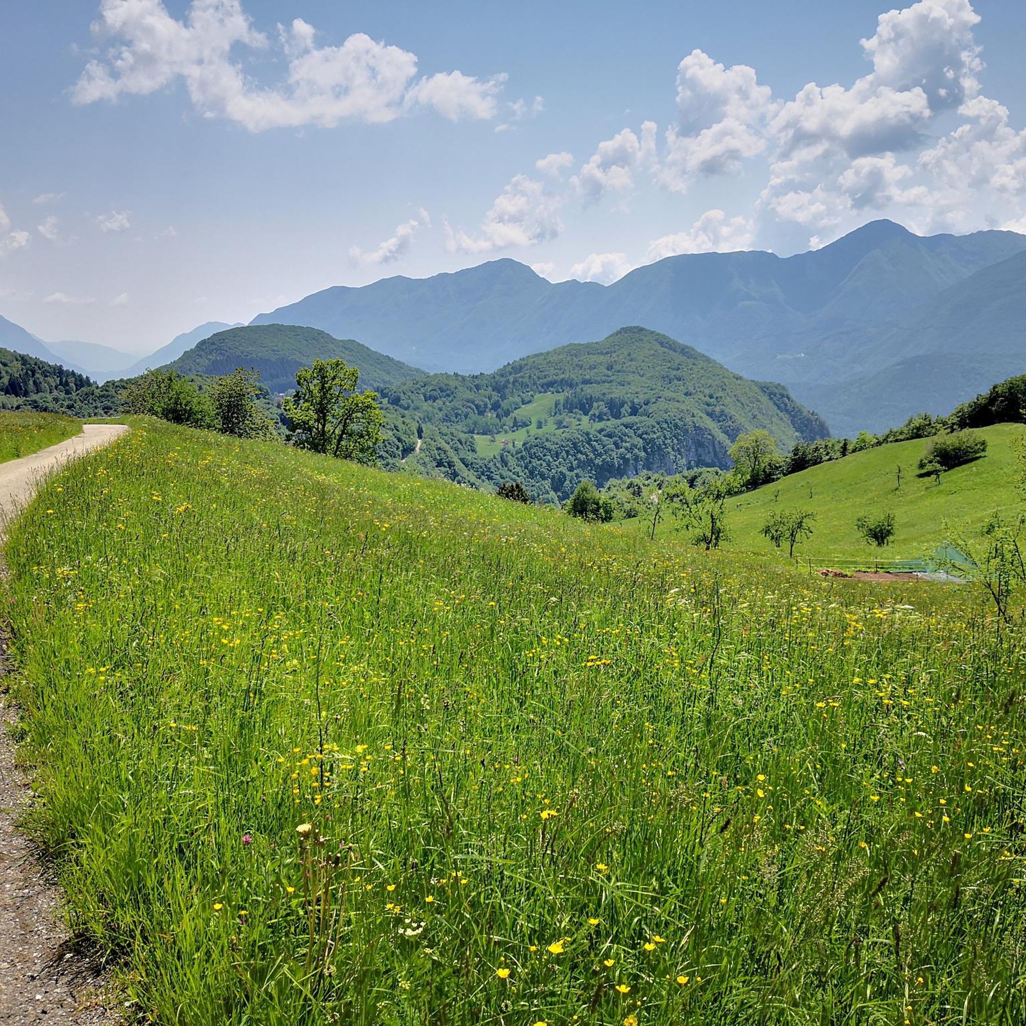
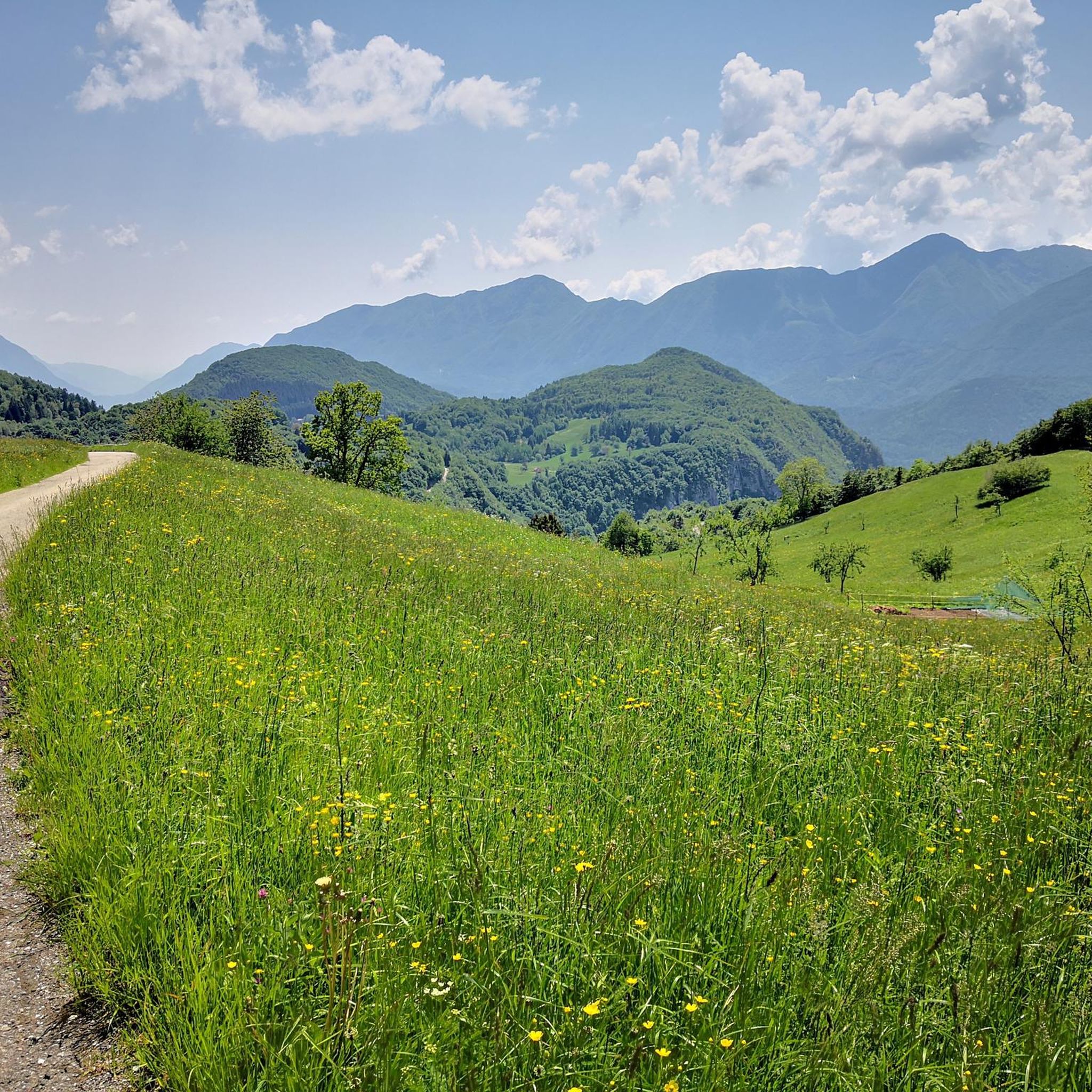
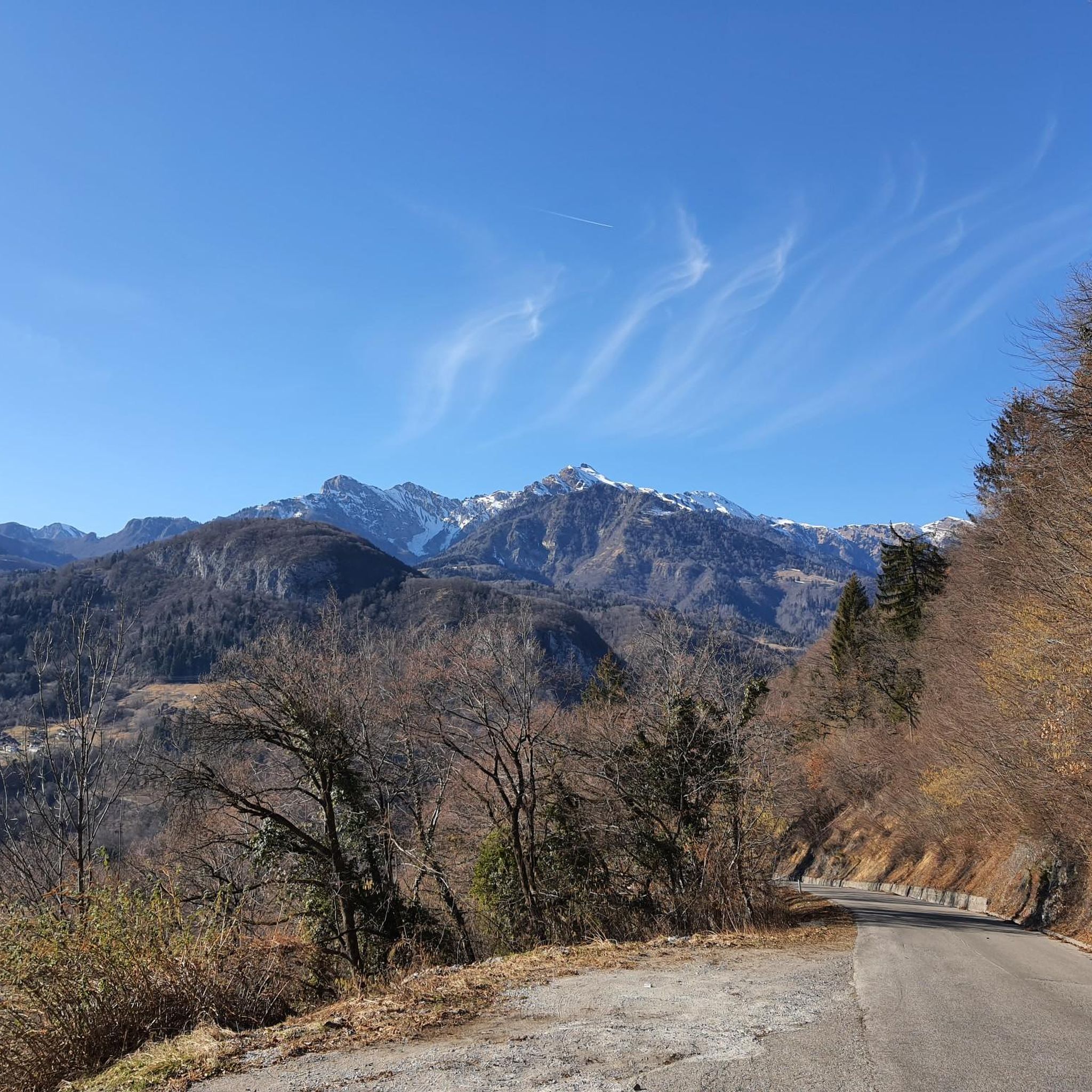
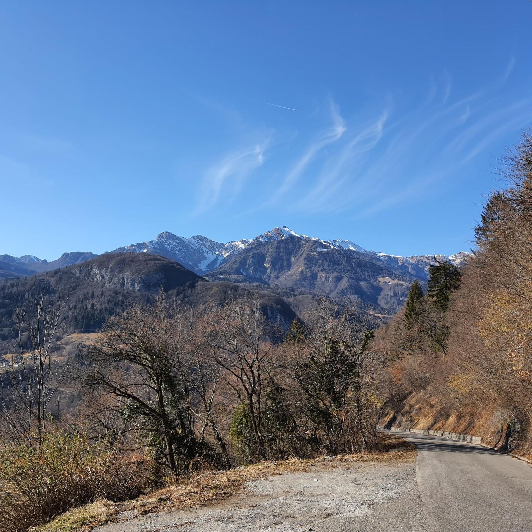
Road cycling around Lauco, situated at 719 meters above sea level in Italy's Carnia region within Friuli-Venezia Giulia, offers routes with significant elevation changes. The area provides panoramic views of the Tagliamento Valley and the surrounding Carnic Alps. Cyclists can expect to traverse winding roads through wild, unspoiled nature and authentic mountain villages. The terrain includes valleys, foothills, and challenging climbs characteristic of the Carnic Alps.
Best road cycling routes around Lauco
- The most popular road cycling route is Monte…
Last updated: August 29, 2026
4.7
(18)
512
riders
61.0km
04:05
1,920m
1,920m
Hard road ride. Very good fitness required. Mostly well-paved surfaces and easy to ride.
5.0
(2)
170
riders
33.6km
02:37
1,420m
1,420m
Hard road ride. Very good fitness required. Mostly well-paved surfaces and easy to ride.

Sign up for free
5.0
(8)
75
riders
113km
06:23
2,460m
2,460m
Hard road ride. Very good fitness required. Some segments of this route may be unpaved and difficult to ride.
5.0
(3)
67
riders
129km
07:00
2,610m
2,610m
Hard road ride. Very good fitness required. Mostly well-paved surfaces and easy to ride.
46
riders
82.8km
04:55
1,820m
1,820m
Hard road ride. Very good fitness required. Some segments of this route may be unpaved and difficult to ride.
Get access to more routes and recommendations from other explorers.
Sign up for free
Already have an account?
Our route recommendations are based on thousands of hikes, rides, and runs completed by other people on komoot.
Start today with a free account
Your next adventure awaits.
Login or Signup


Tips from the Community

This west side is the harder one (unless you ride down the more southerly east ascent from Priola). The signs of past Giro legends give an indication of how far you are... but at the sign for Pantani, you've almost made it!
0
0


In addition to its role as a cycling arena, Monte Zoncolan is a multi-purpose tourist destination. In winter, you can enjoy downhill runs of varying difficulty (ranging from blue to black). The Zoncolan Ski Area offers a variety of challenging trails (both fast technical sections and steep walls), making it ideal for slalom and giant slalom training. The location in Friuli-Venezia Giulia offers good snow conditions, but also a relatively quiet base – fewer tourists than in the Dolomites. Modern infrastructure (the Ravascletto–Zoncolan gondola and artificial snowmaking system) allows for regular training even in inclement weather. If you visit Ravascletto in winter, it's not unusual to see sections of the trails marked "chiuso per allenamento" (closed for training) – a sign that national teams or clubs are training there. In summer, you can enjoy a network of trails of varying difficulty—from family walks to challenging mountain treks. The areas are well-marked and have infrastructure (huts, rifuges, viewpoints).
0
0

One of the toughest climbs I've ever done, use low gears.
14
0

Great view of the river and the mountains, bridge without a bike path and with traffic.
2
0
At least it's a good hint, even if I didn't dare to do it this time.
2
0
Small road, old bridge, beautiful river. SP72 road to Chiaulis.
1
0
View of the river valley from the cycle path to Ovaro, although some environmental damage can also be seen here.
2
0
Frequently Asked Questions
How many road cycling routes are available around Lauco?
There are over 130 road cycling routes around Lauco, catering to various skill levels. While there are a few easy options, the majority of routes are moderate to difficult, reflecting the mountainous terrain of the Carnic Alps.
What kind of terrain can I expect when road cycling near Lauco?
Road cycling around Lauco features diverse terrain, from winding roads through authentic mountain villages to challenging climbs in the Carnic Alps. You'll experience significant elevation changes, panoramic views of the Tagliamento Valley, and traverse valleys and foothills. The region is known for its wild, unspoiled nature.
Are there challenging climbs for experienced road cyclists in the Lauco area?
Yes, the Lauco area, particularly within the Carnic Alps, offers numerous challenging climbs. Routes like the Monte Zoncolan Loop from Villa Santina and the Sella Ciampigotto Pass – Pesaris loop from Villa Santina feature substantial elevation gains, testing endurance and rewarding with spectacular vistas.
What are some scenic highlights or natural attractions I can see along the road cycling routes?
The routes offer breathtaking panoramic views of the Tagliamento Valley and the surrounding Carnic Alps. You can also discover natural wonders like the Plera Waterfall or the Arzino Waterfalls. The Tagliamento River itself is a significant natural monument, and the Lauco Plateau offers expansive views, enhanced by a new viewing platform.
Are there any road cycling routes that are loops or circular?
Yes, many road cycling routes around Lauco are designed as loops. Examples include the Monte Zoncolan Loop from Villa Santina, the Sella Ciampigotto Pass – Pesaris loop from Villa Santina, and the View of the Dolomites – Ovaro loop from Villa Santina, allowing you to start and finish at the same point.
What do other road cyclists enjoy most about cycling in Lauco?
The area is highly rated by the komoot community, with an average score of 4.6 stars from over 200 reviews. Cyclists often praise the stunning, unspoiled landscapes of the Carnic Alps, the challenging climbs, and the charm of authentic mountain villages like Lauco itself.
What is the best time of year for road cycling in Lauco?
The best time for road cycling in Lauco is generally from late spring to early autumn (May to October). During these months, the weather is typically more stable, and the mountain passes are clear of snow, offering ideal conditions to enjoy the challenging routes and scenic views.
Are there any cultural or historical points of interest along the routes?
Beyond natural beauty, Lauco and its vicinity offer cultural attractions. You'll pass through authentic mountain villages with traditional architecture. The area has ancient origins, with sites like the Parish Church of All Saints in Lauco (18th century) and the Church of the Madonna della Trava in Trava, adding cultural depth to your cycling tour.
Can I find places to eat or stay near the cycling routes in Lauco?
Lauco and the surrounding authentic mountain villages offer options for cafes, restaurants, and accommodation. While specific establishments are not listed here, the region is known for its hospitality, allowing cyclists to refuel and rest after their rides. Nearby towns like Tolmezzo and Sutrio also provide additional services.
Are there any easier road cycling routes suitable for beginners or less experienced riders?
While many routes in the Lauco area are challenging, there are a few easier options available. Out of over 130 routes, 8 are classified as easy. These routes typically feature less elevation gain and gentler gradients, making them suitable for beginners or those looking for a more relaxed ride.
Where can I find parking facilities for road cycling in Lauco?
Lauco, being an authentic mountain village, generally offers local parking options. For routes starting from nearby towns like Villa Santina, which is a common starting point for many listed tours such as the Lake Sauris – Lake Sauris loop, you can typically find parking within the town centers or designated areas.
Are there any road cycling routes that pass by lakes?
Yes, some routes in the broader region near Lauco incorporate lakes. For instance, the Lake Sauris – Lake Sauris loop from Villa Santina offers a scenic ride around Lake Sauris. You might also encounter smaller bodies of water like Laghetto di Villa Santina along other routes.
What is the typical duration for road cycling routes around Lauco?
The duration of road cycling routes around Lauco varies significantly based on distance and difficulty. For example, the Monte Zoncolan Loop typically takes around 4 hours, while longer and more challenging routes like the Lake Tramonti – Sella Chianzutan loop from Villa Santina can take over 6 hours to complete.
Most popular attractions around Lauco

Get inspired with the komoot mobile app


Explore more
Browse the best Road cycling routes in other regions.
