The best walks and hikes around San Lorenzo Isontino
4.5
(1770)
8,803
hikers
476
hikes
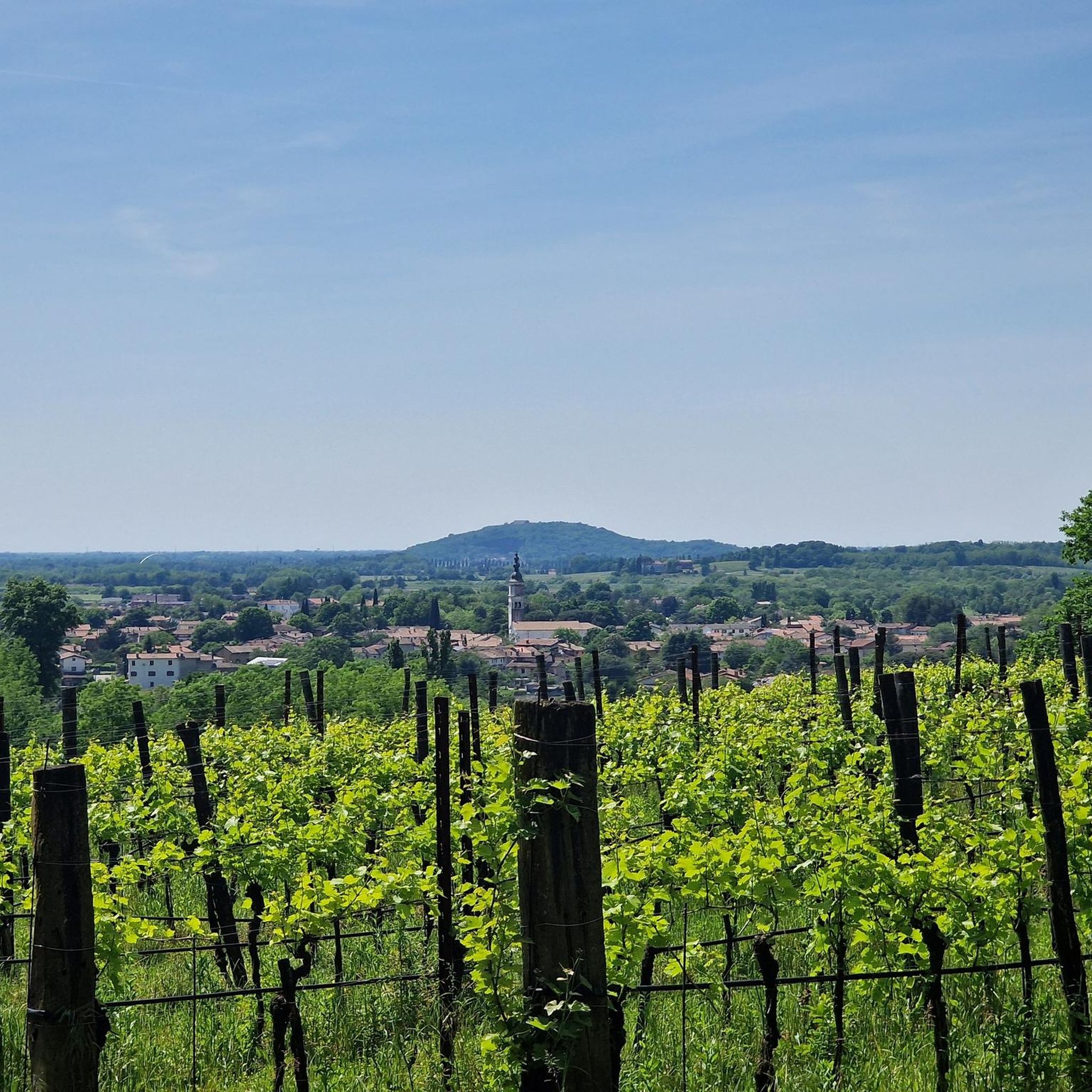
Hiking around San Lorenzo Isontino offers diverse and accessible natural landscapes within the Friuli Venezia Giulia region of Italy. The area features scenic vineyards and extensive wooded areas, which are integrated into many hiking routes. Specific natural attractions include the unique Red Ponds (Laghetti Rossi di Capriva), often found within loops that combine agricultural land with woodlands. Paths are generally accessible, providing varied terrain suitable for different fitness levels.
Best hiking trails around San Lorenzo Isontino
- The most popular hiking route is Vineyards and Cherry Trees – Red Ponds loop from Capriva del Friuli, a 6.0 miles (9.7 km) trail that takes 2 hours 29 minutes to complete. This moderate route winds through vineyards and wooded areas, incorporating the Red Ponds.
- Another top favourite among local hikers is Red Ponds – Laghetti Rossi di Capriva loop from San Lorenzo Isontino / San Lurinç Lisuntin, an easy 4.0 miles (6.5 km) path. This trail offers a gentle exploration of the Red Ponds area, blending natural woodlands with open clearings.
- Local hikers also love the Red Ponds – Laghetti Rossi di Capriva loop from Mossa / Mosse, a 6.5 miles (10.5 km) trail leading through vineyards and wooded landscapes, often completed in about 2 hours 41 minutes.
- Hiking around San Lorenzo Isontino is defined by scenic vineyards, extensive wooded areas, and the unique Red Ponds. The network offers options for various ability levels, from easy walks to moderate hikes.
- The routes in San Lorenzo Isontino are highly rated by the komoot community with an average score of 4.5 stars from more than 1500 reviews. More than 7000 hikers have used komoot to explore San Lorenzo Isontino's varied terrain.
Last updated: July 9, 2026
4.8
(18)
41
hikers
Moderate hike. Good fitness required. Easily-accessible paths. Suitable for all skill levels.
4.5
(17)
47
hikers
Moderate hike. Good fitness required. Easily-accessible paths. Suitable for all skill levels.

Sign up for free
4.5
(8)
26
hikers
Moderate hike. Good fitness required. Easily-accessible paths. Suitable for all skill levels.
5.0
(3)
12
hikers
Moderate hike. Good fitness required. Easily-accessible paths. Suitable for all skill levels.
5.0
(3)
11
hikers
9.23km
02:28
110m
110m
Moderate hike. Good fitness required. Easily-accessible paths. Suitable for all skill levels.
Get access to more routes and recommendations from other explorers.
Sign up for free
Already have an account?
Our route recommendations are based on thousands of hikes, rides, and runs completed by other people on komoot.
Start today with a free account
Your next adventure awaits.
Login or Signup
Tips from the Community

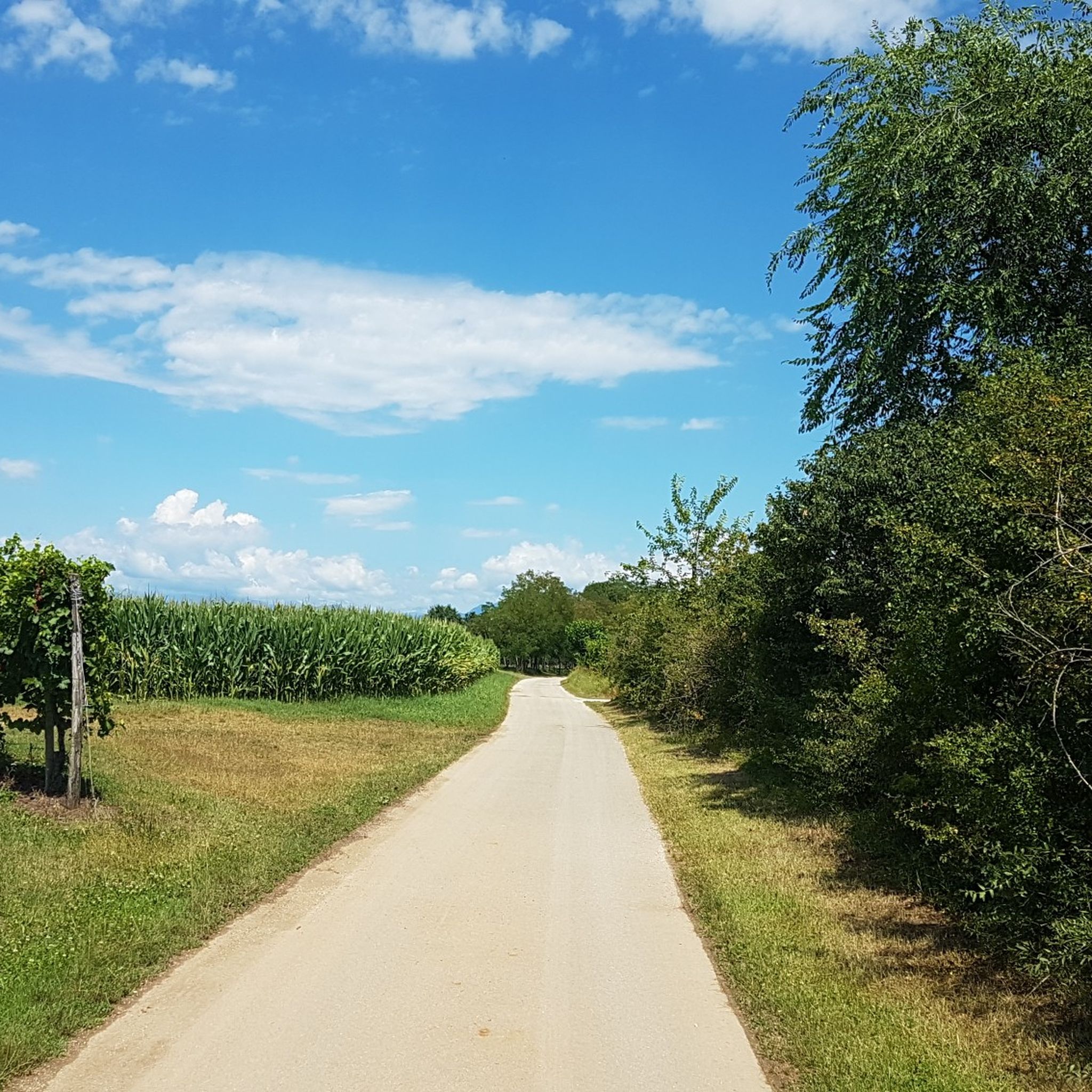
The area boasts an extensive network of well-maintained cycle paths, all of which are beautiful and allow you to cycle amidst stunning scenery.
0
0
Very beautiful and worth a visit if you are in these parts.
0
0

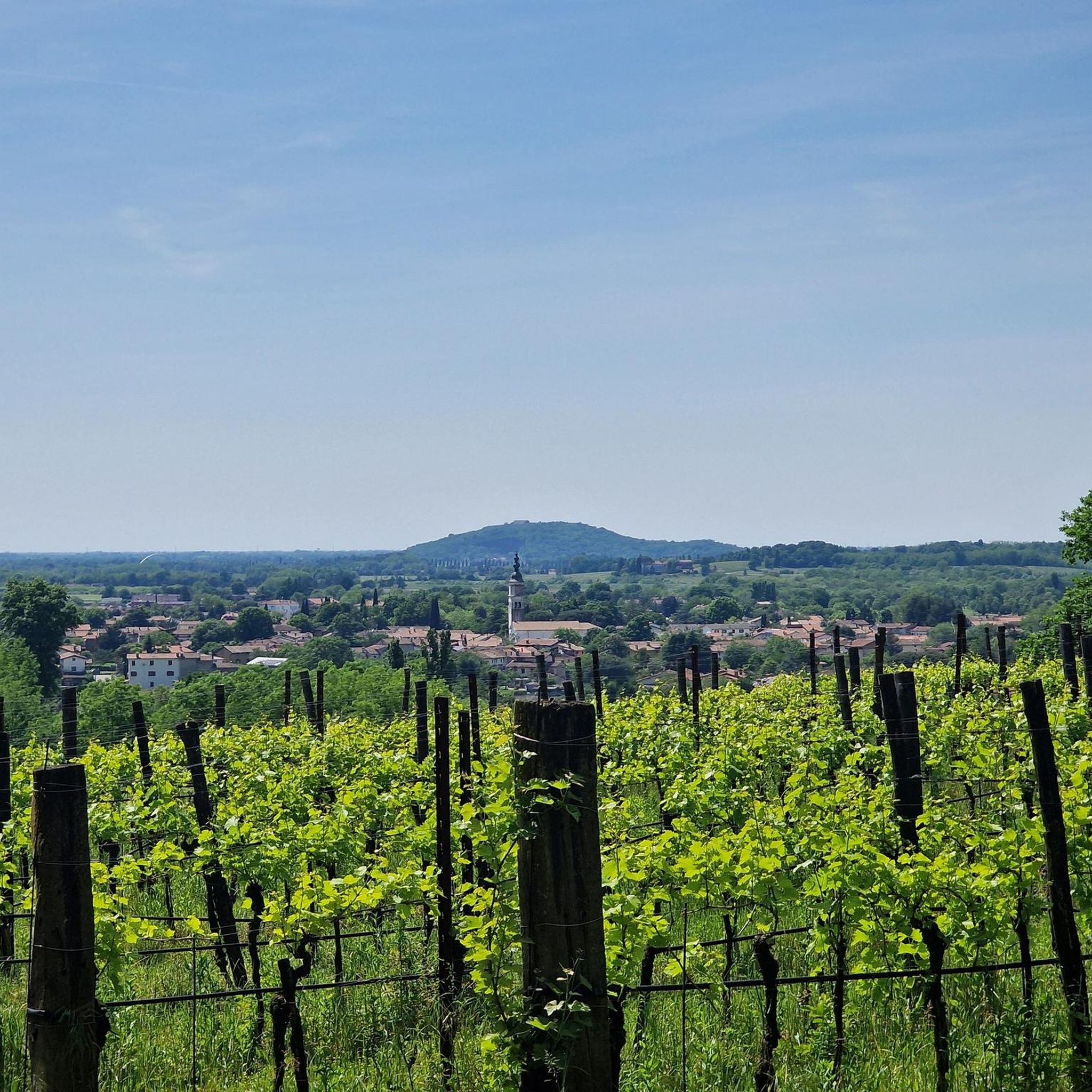
An unexpected little church in the middle of nowhere, nestled in an area where vineyards, wooded areas, clearings, and waterways blend in beautifully. A pleasant spot for a break.
1
0

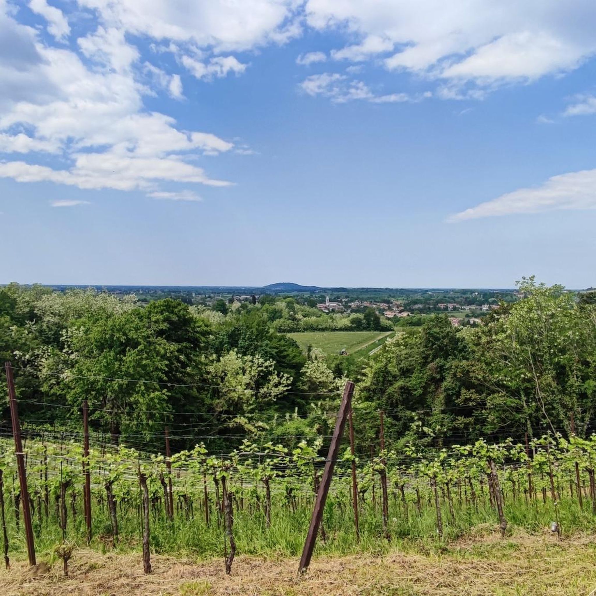
A unique landscape of prized vineyards, historic sites, and the city of Gorizia, the 2025 European Capital of Culture. If you get hungry along the way, however, be aware that it's almost impossible to find restaurants, trattorias, or even bars to grab a bite to eat, with the exception of Gorizia city center and Cormons.
1
0

Suggestive and Silent, Red as Clay
0
0

Beautifully situated pond, a view of it from all around is worthwhile.
0
0
Awesome, well-developed cycle path on asphalt and gravel next to a canal. The church on the side of the road is a real eye-catcher.
1
0

nice stretch away from car traffic
0
0
Frequently Asked Questions
What kind of landscapes can I expect to see while hiking around San Lorenzo Isontino?
The hiking trails around San Lorenzo Isontino are characterized by scenic vineyards and extensive wooded areas. You'll also encounter unique natural features like the Red Ponds (Laghetti Rossi di Capriva), which are often integrated into loop trails, blending agricultural land with natural woodlands and clearings.
Are there many hiking options available in the San Lorenzo Isontino area?
Yes, there are over 400 hiking routes around San Lorenzo Isontino. These range from easy walks to more moderate hikes, offering diverse terrain suitable for various fitness levels.
Are there family-friendly hiking trails suitable for children?
Absolutely. Many paths around San Lorenzo Isontino are easily accessible and suitable for families. For an easy and gentle exploration, consider the Red Ponds – Laghetti Rossi di Capriva loop from San Lorenzo Isontino / San Lurinç Lisuntin, which is 4.0 miles (6.5 km) long and offers a blend of natural woodlands and open clearings.
Can I bring my dog on the hiking trails?
Many trails in the San Lorenzo Isontino area are dog-friendly, allowing you to enjoy the natural beauty with your canine companion. It's always recommended to keep dogs on a leash and check specific trail regulations if available.
What is the best time of year to go hiking in San Lorenzo Isontino?
The region's diverse landscapes, including vineyards and wooded areas, make it enjoyable for hiking across multiple seasons. Spring and autumn offer pleasant temperatures and beautiful scenery, especially with the changing colors of the vineyards. Summer is also suitable, but it's advisable to start early to avoid the midday heat.
Are there any circular hiking routes?
Yes, circular routes are a prominent feature of hiking in San Lorenzo Isontino. Many trails are designed as loops, allowing you to start and end at the same point. Examples include the Vineyards and Cherry Trees – Red Ponds loop from Capriva del Friuli and the Red Ponds – Laghetti Rossi di Capriva loop from Mossa / Mosse.
What are some interesting natural attractions or landmarks to see along the trails?
Beyond the vineyards and wooded areas, a key natural attraction is the unique Laghetti Rossi di Capriva (Red Ponds). You can also find viewpoints like View of Lago di Doberdò and historical sites such as the Sabotin Peace Park Bunkers and Caves in the broader region.
How long do the hiking trails typically take to complete?
Hiking durations vary depending on the route and your pace. For instance, the moderate Vineyards and Cherry Trees – Red Ponds loop from Capriva del Friuli typically takes around 2 hours 29 minutes, while the easy Red Ponds – Laghetti Rossi di Capriva loop from San Lorenzo Isontino / San Lurinç Lisuntin can be completed in about 1 hour 42 minutes.
What do other hikers say about the trails in San Lorenzo Isontino?
The hiking routes in San Lorenzo Isontino are highly rated by the komoot community, with an average score of 4.5 stars from over 1500 reviews. Hikers often praise the well-maintained paths, the beautiful blend of vineyards and woodlands, and the accessibility of the trails for various skill levels.
Are there easy hiking trails for beginners or those looking for a relaxed walk?
Yes, there are over 200 easy routes available. A great option for a relaxed walk is the Red Ponds – Laghetti Rossi di Capriva loop from San Lorenzo Isontino / San Lurinç Lisuntin, which is an easy 4.0 miles (6.5 km) path offering a gentle exploration of the Red Ponds area.
Is public transport available to reach the trailheads?
While specific public transport details for individual trailheads are not provided, San Lorenzo Isontino is part of the Friuli Venezia Giulia region, which generally has public transport options. It's advisable to check local bus schedules for connections to the starting points of your chosen hikes.
Are there places to eat or stay near the hiking areas?
San Lorenzo Isontino and its surrounding towns offer various options for cafes, pubs, restaurants, and accommodation. You'll find places to refuel and relax after your hike, often featuring local Friulian cuisine and wines from the nearby vineyards.
Most popular routes around San Lorenzo Isontino
Most popular attractions around San Lorenzo Isontino

Get inspired with the komoot mobile app


Explore more
Browse the best Hikes in other regions.
