The best MTB trails around Castiglione A Casauria
4.6
(132)
845
riders
96
rides
Mountain biking around Castiglione A Casauria offers diverse landscapes within Italy's Abruzzo region, characterized by its proximity to the Gran Sasso and Monti della Laga National Park and the Maiella National Park. The terrain features river valleys like the Tirino, scenic lakes such as Capodacqua, and ancient vineyards. These natural elements provide varied riding conditions, from riverside paths to routes with significant elevation gains.
Best mountain bike trails around Castiglione A Casauria
- The most popular mountain bike trail is Orta…
Last updated: October 8, 2026
4.8
(5)
15
riders
58.4km
04:11
720m
720m
Hard mountain bike ride. Good fitness required. Advanced riding skills necessary. Some portions of the route may require you to push your bike.
4.0
(1)
11
riders
47.2km
03:11
600m
600m
Moderate mountain bike ride. Good fitness required. Suitable for all skill levels.

5.0
(2)
10
riders
65.1km
04:31
940m
940m
Hard mountain bike ride. Very good fitness required. Suitable for all skill levels.
6
riders
62.9km
04:36
1,140m
1,140m
Hard mountain bike ride. Very good fitness required. Suitable for all skill levels.
4.5
(2)
11
riders
49.3km
03:26
780m
780m
Moderate mountain bike ride. Good fitness required. Suitable for all skill levels.
Get access to more routes and recommendations from other explorers.
Already have an account?
Our route recommendations are based on thousands of hikes, rides, and runs completed by other people on komoot.
Start today with a free account
Your next adventure awaits.
Tips from the Community

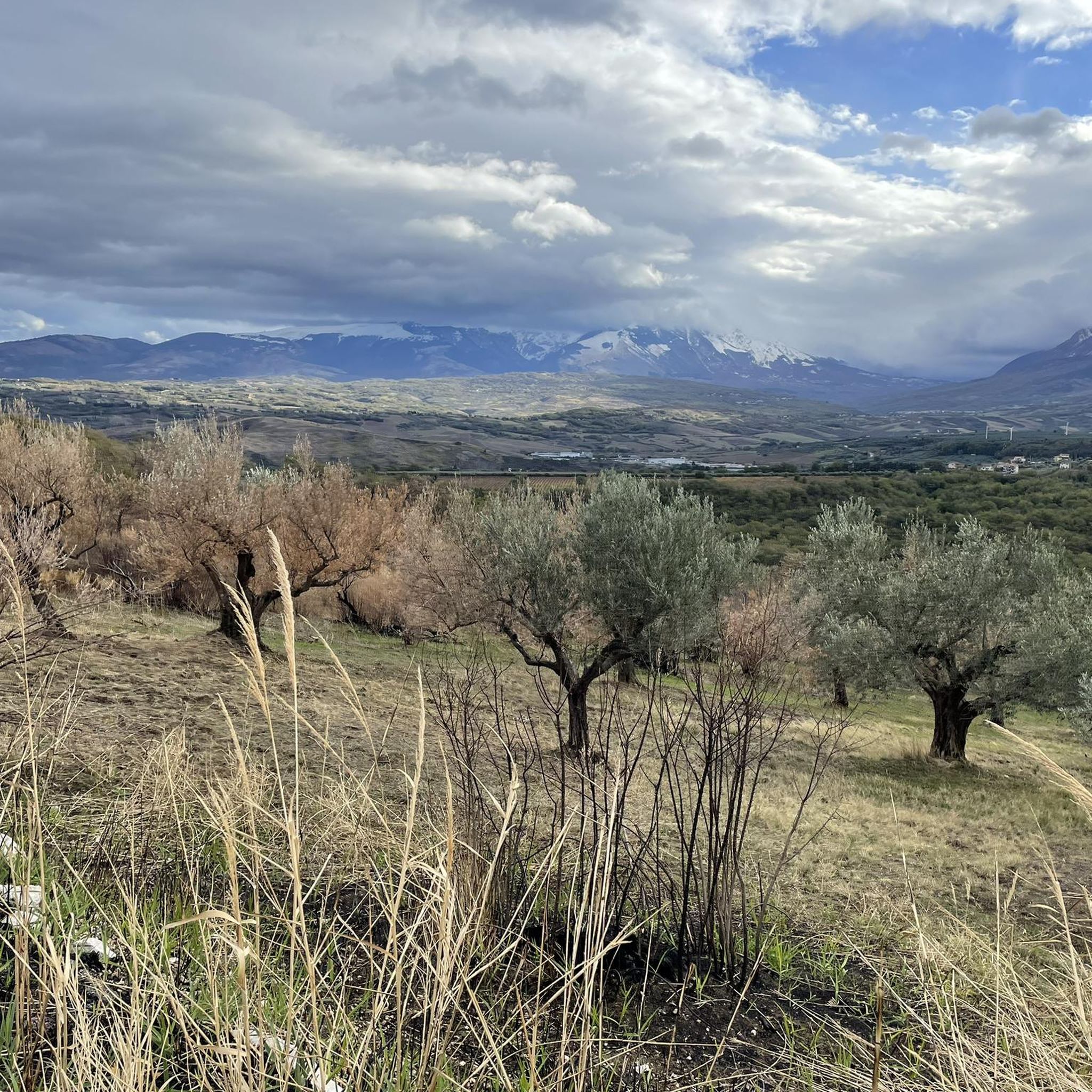
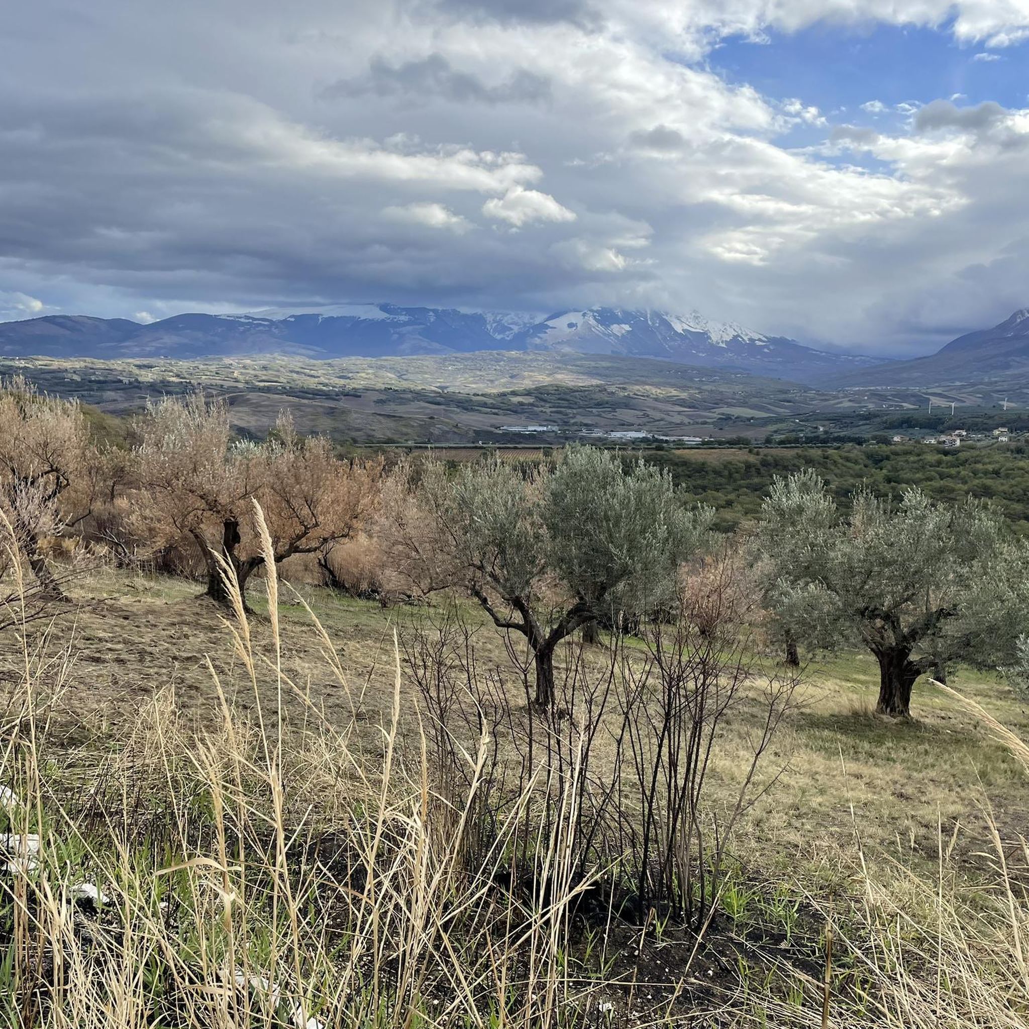
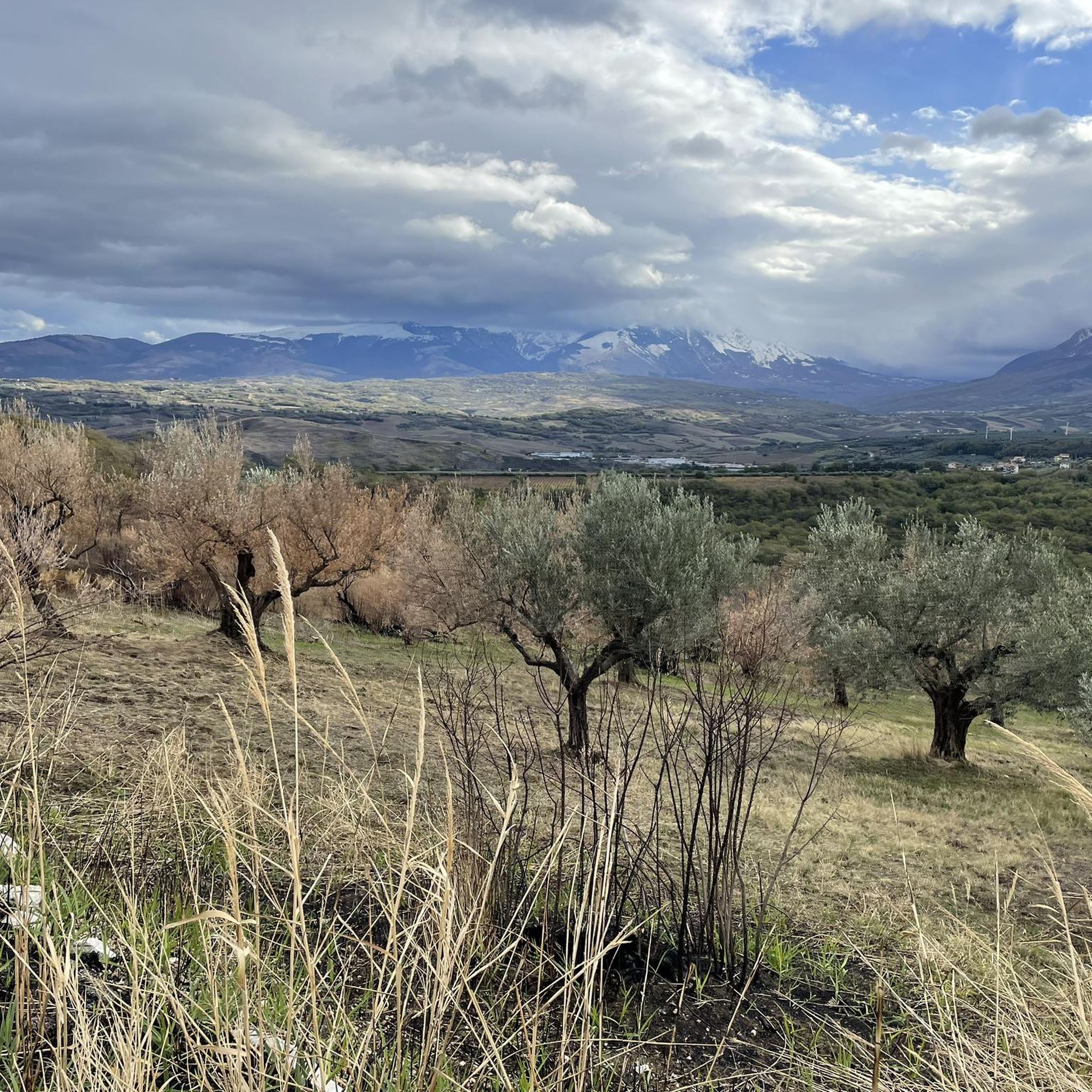
The Torre di Forca di Penne is what remains of an old watchtower located on the pass of the same name, between Capestrano and Brittoli, in a strategic point of inner Abruzzo. It was a true sentinel of the passage between the Tirino valley and the areas towards the Adriatic, therefore it had a function of controlling the territory and the transits along the Tratturo Magno and connected routes. Today it is remembered above all as a very suggestive but fragile presence: after the 2009 earthquake its condition was described as very compromised, with the ruins still visible but in a state of strong degradation. Precisely for this reason it is often told not only as a historical monument, but as a symbol of the memory of the Abruzzese trattural landscape. From a geographical point of view, Forca di Penne is a pass at about 918-920 meters above sea level and the tower is located in an area that is also a starting point for hiking trails and MTB routes. Therefore, in addition to the historical interest, it is also a very beautiful place to include in a nature tour between Capestrano, the Tirino Valley and the Gran Sasso reliefs.
0
0
The Piccolomini Castle, which overlooks the town center and today also houses the Town Hall. It is located right on the main square, which is why it is so distinctive in the village's panorama. It is a structure with medieval origins, built on the remains of a previous fortification, of which the central prismatic tower still remains. The current appearance is the result of various interventions by the noble families who owned it over time, particularly the Acquaviva, Piccolomini, and Medici families; the fifteenth-century configuration is generally attributed to 1485, while the interior was restored in 1924.
0
0

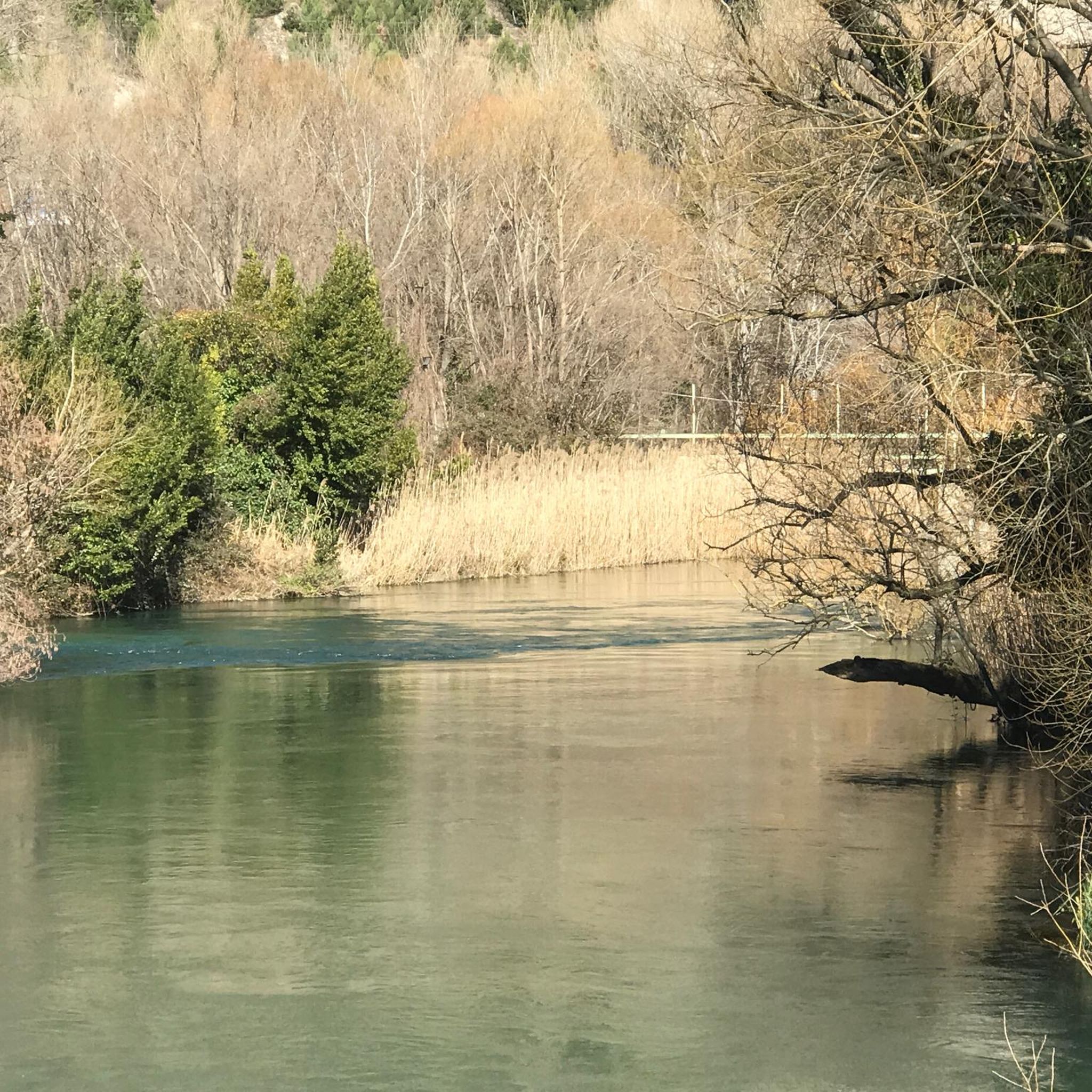
From Popoli, take the road to San Rocco (Via delle svolte) to enjoy the beautiful dirt roads of the Tirino valley.
0
0

Moving away from Salle, on the right, a few meters from the trail entrance, you will find a spectacular panoramic point of the bridge and the Orte gorges.
0
0

lovely lunch here. you have to book on a Sunday
0
0

This is a wonderful place surrounded by greenery, the small stone houses are for rent
0
0
Antonio Piccolomini was a lover of military art and the arts in general, he left memories of himself in various places in Abruzzo having been invested as Count, Baron and Marquis...
0
0
The environmental protection provided by the park prohibits snorkeling and even just bathing, the only activity allowed is the diving organized by the Atlantide diving school, the only holder of the authorizations for guided diving and which manages the lake and guarantees a lower impact on the tranquility of the fauna that comes to winter in the lake during migrations.
0
0
Frequently Asked Questions
How many mountain bike trails are available around Castiglione A Casauria?
There are over 90 mountain bike trails around Castiglione A Casauria, offering a wide range of options for different skill levels and preferences.
What are the typical difficulty levels of mountain bike trails in this area?
The trails around Castiglione A Casauria offer a diverse range of difficulty. You'll find about 5 easy routes, over 40 moderate trails, and roughly 45 difficult routes. Some challenging trails, like Bussi sul Tirino – Along the Tirino River loop from Bussi, feature significant elevation gains and may require good to very good fitness.
Are there any family-friendly mountain bike trails near Castiglione A Casauria?
While the region is known for its diverse terrain, including challenging climbs, there are easier routes available. For family-friendly options, look for trails described as 'easy' or those that stick to less technical paths, often found along river valleys or paved sections. The Majella National Park, nearby, also identifies routes suitable for everyone.
What kind of terrain can I expect on the mountain bike trails around Castiglione A Casauria?
The terrain is highly varied, ranging from river valleys like the Tirino, scenic areas around Lake Capodacqua, and ancient vineyards. You'll encounter both paved surfaces and unpaved, difficult segments, especially on routes with significant elevation gains. The area is situated near the Gran Sasso and Monti della Laga National Park and the Maiella National Park, contributing to its diverse landscapes.
What notable landmarks or natural features can I see along the mountain bike trails?
Many trails offer views of significant natural and historical sites. You can ride past Lake Capodacqua, follow the clear waters of the Tirino River, or explore protected areas like the Orta Valley, known for its pristine waters and unique rock formations. The historic Abbey of San Clemente a Casauria is also a prominent local landmark.
Where can I find panoramic viewpoints while mountain biking?
The region is rich with panoramic viewpoints offering expansive vistas of distant peaks and the surrounding countryside. Many trails will naturally lead you to elevated spots. For example, the nearby town of Penne is known for its breathtaking views, and you can often find designated Scenic Viewpoints marked on maps or along routes.
What is the best time of year to go mountain biking in Castiglione A Casauria?
The recommended season for mountain biking in this region, particularly in the nearby Majella National Park, is from spring to autumn. During these months, the weather is generally favorable, and the trails are more accessible. Winter conditions can make some routes challenging or impassable due to snow and ice at higher elevations.
Are there mountain bike routes that are circular or loop trails?
Yes, many of the mountain bike routes in the area are designed as circular or loop trails. Popular examples include the Orta Valley Loop and Along the Tirino River – Lake Capodacqua loop from Bussi. These loops allow you to start and finish at the same point, making logistics easier.
What do other mountain bikers enjoy most about the trails in Castiglione A Casauria?
The mountain bike trails around Castiglione A Casauria are highly rated by the komoot community, with an average score of 4.4 stars from over 100 reviews. Riders often praise the diverse landscapes, from river valleys to national park scenery, and the variety of routes catering to different skill levels. The natural beauty and historical charm of the area are frequently highlighted.
Is there parking available near the mountain bike trailheads?
Yes, parking is generally available in or near the villages and towns that serve as starting points for many trails, such as Bussi sul Tirino or Tocco-Castiglione. Specific parking information can often be found on individual route descriptions or local tourism resources.
Are there options for mountain bike rentals in the area?
Yes, within the broader Abruzzo region, particularly in areas like the Majella National Park, you can find E-Bike and Mountain Bike rentals. It's advisable to check with local tourism offices or bike shops in larger towns near Castiglione A Casauria for current rental availability.
Can I bring my dog on the mountain bike routes?
Many outdoor trails in Italy's Abruzzo region are dog-friendly, especially those outside of strictly protected wildlife zones where specific rules might apply. It's always best to keep your dog on a leash and ensure they are well-behaved, especially when encountering other riders or wildlife. Check specific trail regulations if you plan to enter national park areas.
What are some challenging mountain bike trails for experienced riders?
Experienced riders looking for a challenge will find several difficult routes with significant elevation gains. For instance, the Lake Capodacqua – Along the Tirino River loop from Tocco-Castiglione is a difficult trail covering over 58 km with substantial climbing. These routes often require good fitness and technical skills.
Most popular routes around Castiglione A Casauria
Most popular attractions around Castiglione A Casauria

Get inspired with the komoot mobile app


Explore more
Browse the best MTB trails in other regions.
