The best running trails around Schluderns - Sluderno
3.8
(11)
384
runners
26
runs
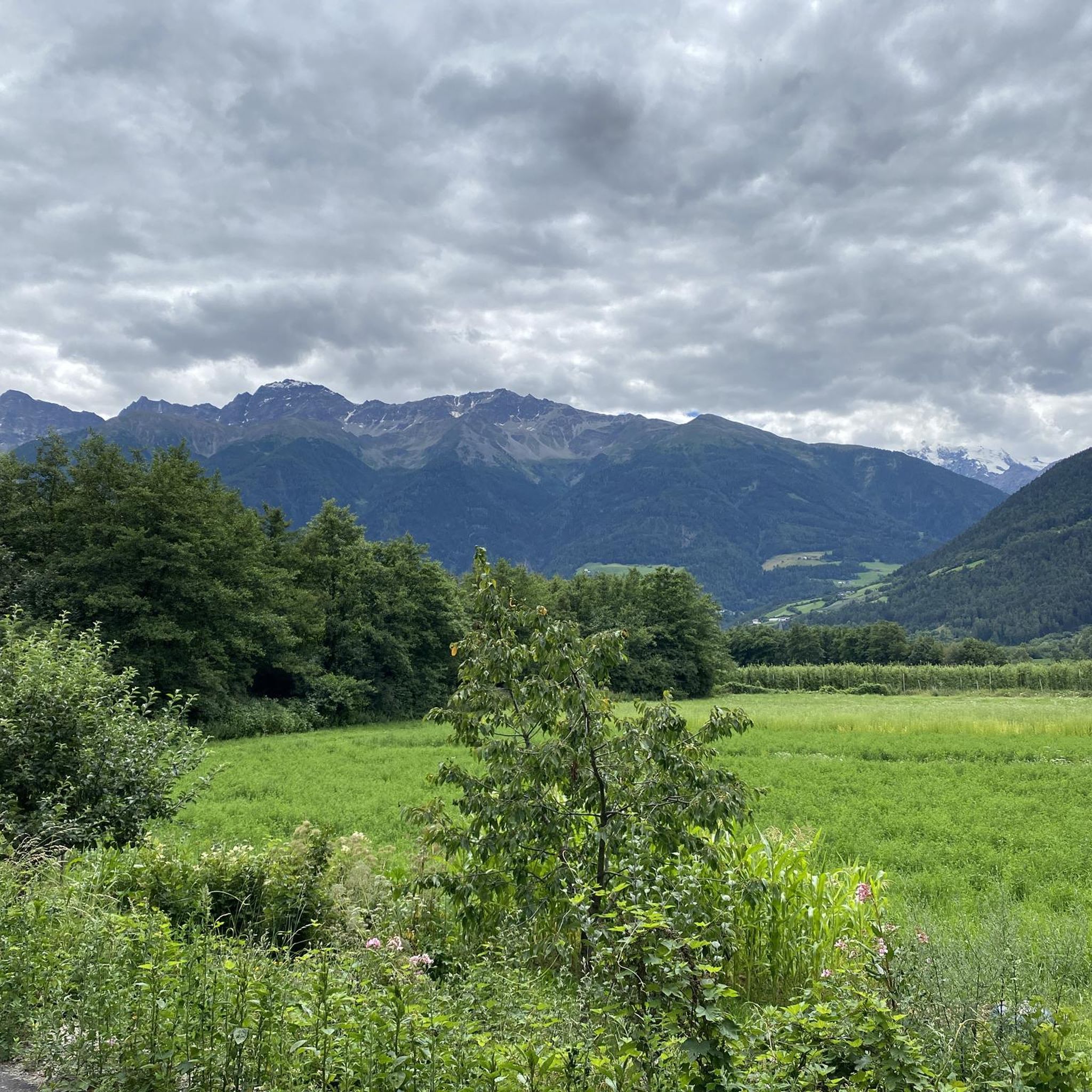
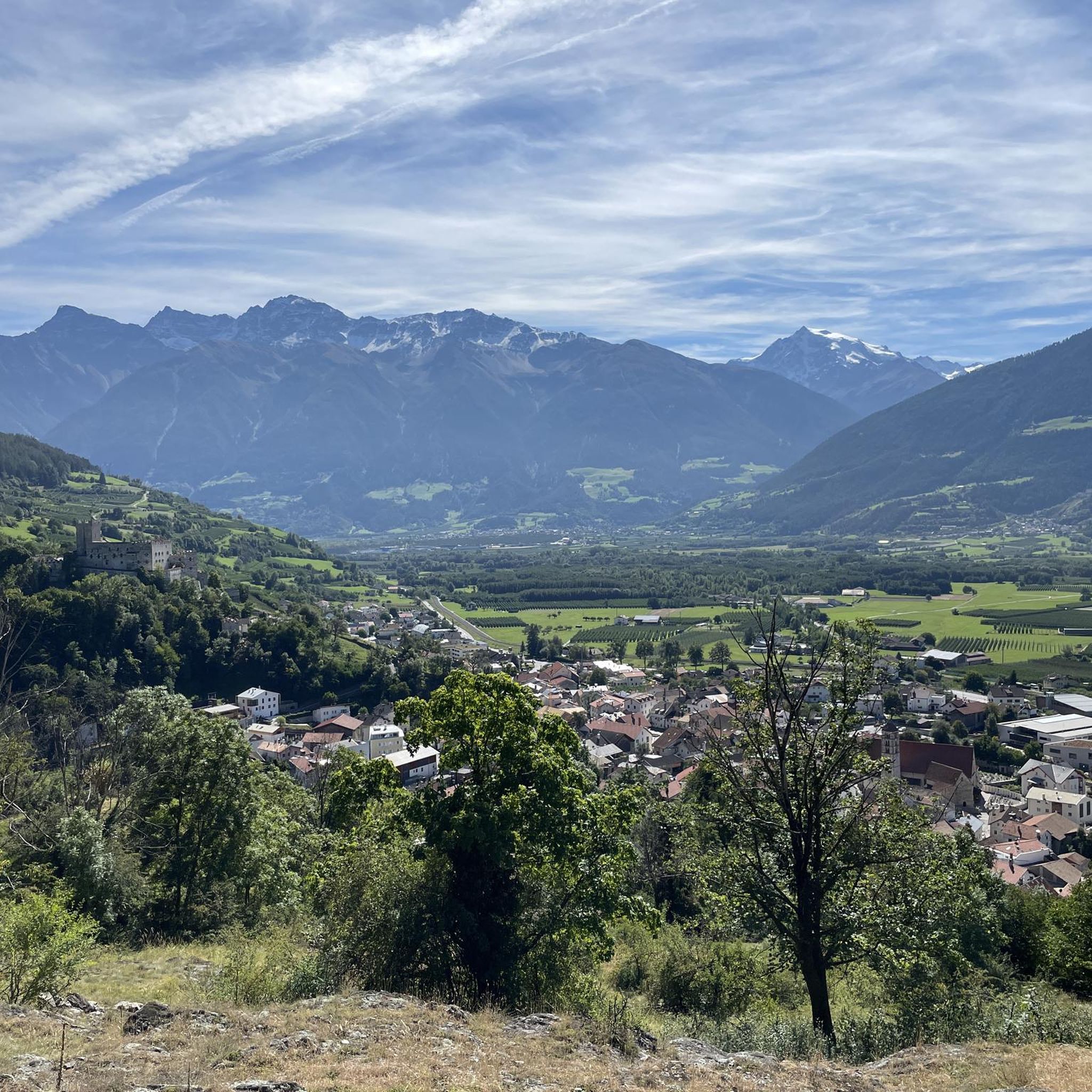
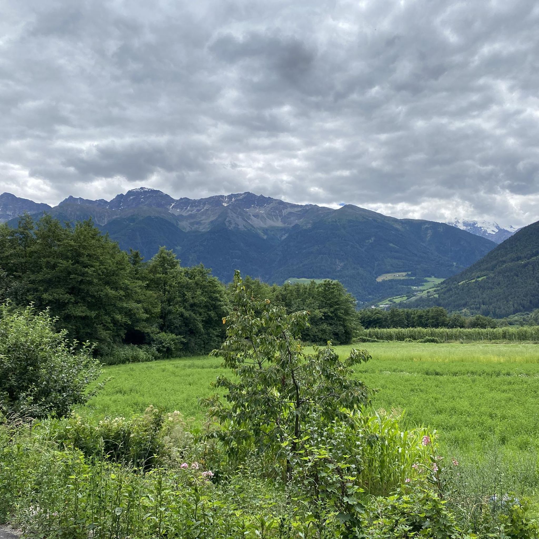
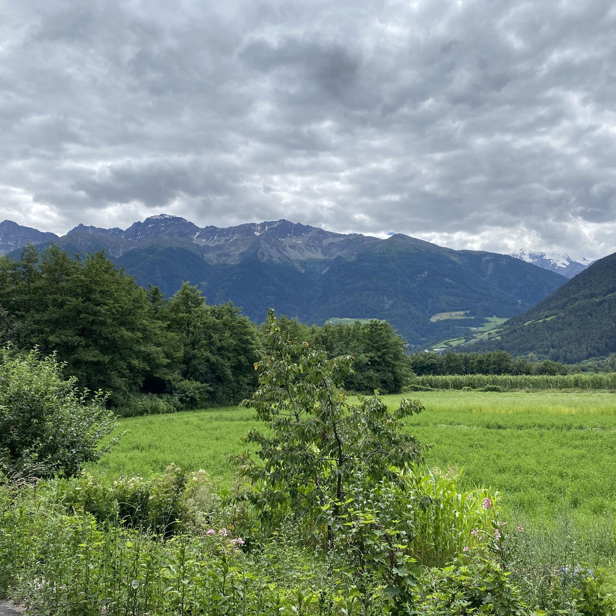
Jogging routes around Schluderns - Sluderno are set within the Val Venosta valley, characterized by a blend of alpine scenery, orchards, and forests. The region features historic Waalwege paths, which offer relatively flat and accessible running surfaces alongside ancient irrigation channels. More challenging terrain with greater elevation changes can be found winding into the Val di Mazia, providing varied options for runners. Routes often pass by landmarks such as Churburg Castle.
Best jogging routes around Schluderns - Sluderno
- The most popular jogging route is Hike around Schluderns into Matschertal, a 6.1 miles (9.8 km) trail that takes 1 hour 37 minutes to complete. This difficult route offers significant elevation gain into the Val di Mazia.
- Another top favourite among local runners is Glurns City Gate – TAR_Stage7_V4 loop from Schluderns-Glurns - Sluderno-Glorenza, a moderate 8.9 miles (14.3 km) path. This route connects Schluderns with the historic town of Glurns, passing its preserved city gate.
- Local runners also love the Vinschgau Cycle Path – Taufer Gate loop from Schluderns-Glurns - Sluderno-Glorenza, a 4.1 miles (6.6 km) trail leading through the scenic Vinschgau valley, often completed in about 40 minutes.
- Jogging around Schluderns - Sluderno is defined by historic Waalwege paths, alpine scenery, and routes passing by ancient castles. The network offers options for various ability levels, from gentle valley runs to more strenuous climbs.
- The routes in Schluderns - Sluderno are highly rated by the komoot community with an average score of 5.0 stars from 5 reviews. More than 280 runners have used komoot to explore Schluderns - Sluderno's varied terrain.
Last updated: July 8, 2026
5.0
(1)
18
runners
9.81km
01:37
470m
470m
Hard run. Very good fitness required. Sure-footedness, sturdy shoes and alpine experience required.
5.0
(2)
71
runners
Moderate run. Good fitness required. Mostly paved surfaces. Suitable for all skill levels.

Sign up for free
3.0
(3)
33
runners
Easy run. Great for any fitness level. Mostly paved surfaces. Suitable for all skill levels.
1.0
(1)
33
runners
Moderate run. Good fitness required. Mostly paved surfaces. Suitable for all skill levels.
21
runners
5.23km
00:35
30m
30m
Moderate run. Good fitness required. Mostly paved surfaces. Suitable for all skill levels.
Get access to more routes and recommendations from other explorers.
Sign up for free
Already have an account?
Our route recommendations are based on thousands of hikes, rides, and runs completed by other people on komoot.
Start today with a free account
Your next adventure awaits.
Login or Signup

Tips from the Community

The building shown in the photo is the Malser Tor.
0
0

The ice cream parlor on the market square in Glurns is an excellent place for a relaxing break and is highly recommended.
0
0


A lovely medieval town; the cycle path runs directly past the city wall and the city gate, well worth a visit.
0
0

The arcades and Glorenza itself are worth a visit. An authentic and unique Tyrolean town.
1
7

Great cycle path when there is not much traffic
2
0

Glurns, the smallest town in South Tyrol, impresses with its completely preserved city walls and medieval flair. Winding alleys, arcades, and defensive towers create the town's historic charm and invite exploration.
3
3

Super beautiful view of the Stilfser Joch
0
2
Frequently Asked Questions
How many running routes are available in Schluderns - Sluderno?
There are over 20 running routes around Schluderns - Sluderno, offering a variety of options for different skill levels. This includes 1 easy route, 10 moderate routes, and 9 difficult routes.
What kind of terrain can I expect on the jogging routes in Val Venosta?
The jogging routes in Schluderns - Sluderno offer diverse terrain. You'll find relatively flat and accessible paths along the historic Waalwege, which are ancient irrigation channels with soft forest soil. For more challenging runs, routes wind into the Val di Mazia, featuring greater elevation changes through forested areas. The broader Val Venosta valley also provides scenic runs through orchards, meadows, and forests.
Are there easy running routes suitable for beginners or families?
Yes, there are easy running routes perfect for beginners or families. The historic Waalwege paths, like the Schludernser Bergwaal and Leitenwaal, offer relatively flat and comfortable surfaces. These trails often follow ancient irrigation channels, providing a gentle experience with the soothing sound of flowing water.
Can I combine my run with cultural sights or historical landmarks?
Absolutely! Many running routes in the area pass by significant landmarks. For instance, you can find routes that loop around or pass by Churburg Castle, a well-preserved 13th-century fortress offering magnificent views. The nearby medieval town of Glurns, with its fully preserved city walls and charming historical center, is also integrated into several routes, such as the Glurns City Gate – TAR_Stage7_V4 loop from Schluderns-Glurns - Sluderno-Glorenza. You might also encounter the Ganglegg Archaeological Site, showcasing ancient history.
Are there any running routes that pass by waterfalls?
Yes, the region features several waterfalls that can be incorporated into your running experience. For example, you can discover The Two Waterfalls on the Schludernser Waalrunde, offering a refreshing sight along your run. Other waterfalls in the vicinity include the Waterfall at Lake Haider and Waterfall Near Marienberg Abbey.
What do other runners enjoy most about jogging in Schluderns - Sluderno?
The running routes in Schluderns - Sluderno are highly rated by the komoot community, with an average score of 5.0 stars from 5 reviews. Runners often praise the unique blend of alpine scenery, historic Waalwege paths, and the opportunity to pass by ancient castles and charming towns like Glurns. The variety of terrain, from gentle valley runs to more strenuous climbs, is also frequently highlighted.
Are there circular running routes available in the area?
Yes, many of the running trails around Schluderns - Sluderno are designed as circular routes, allowing you to start and end in the same location. An example is the Churburg Castle loop from Schluderns - Sluderno, which offers a moderate 5.2 km run around the historic castle.
What is the best time of year for jogging in Schluderns - Sluderno?
The Val Venosta valley, where Schluderns - Sluderno is located, has a relatively dry climate despite its alpine setting. Spring and autumn offer pleasant temperatures and vibrant landscapes, ideal for running. Summer provides warm conditions, perfect for early morning or late afternoon runs, while some trails might be accessible in milder winter conditions, especially the lower-lying Waalwege paths.
Are the running routes in Schluderns - Sluderno suitable for dogs?
Many outdoor trails in South Tyrol are dog-friendly, and the natural paths around Schluderns - Sluderno, including the Waalwege and forest trails, are generally suitable for running with dogs. However, it's always advisable to keep dogs on a leash, especially in cultivated areas, near livestock, or in nature protection zones, and to carry water for your pet.
Where can I find parking for accessing the running trails?
Schluderns - Sluderno, being a hub for outdoor activities, typically offers various parking options within the village or at trailheads. Specific parking information can often be found on local tourism websites or detailed route descriptions. For routes connecting to Glurns, parking might be available near the town's entrances.
Are there any challenging running trails for experienced runners?
Yes, for experienced runners seeking a challenge, the Val di Mazia offers more strenuous terrain with significant elevation changes. An example is the Hike around Schluderns into Matschertal, a difficult 9.8 km trail with considerable uphill sections, providing a rewarding workout amidst alpine scenery.
Are there scenic viewpoints along the running trails?
Yes, the region is known for its breathtaking views. Many trails offer panoramic vistas of the Val Venosta valley and the majestic Ortles Alps. Keep an eye out for highlights like the View of Ortler, which provides stunning photographic opportunities and a rewarding break during your run.
How can I reach the running routes using public transport?
Schluderns - Sluderno is generally well-connected within the Val Venosta region by public transport, primarily buses. You can often reach the village center or points close to trailheads via local bus services. For routes connecting to nearby towns like Glurns, public transport can also facilitate access to different starting points.
Most popular routes around Schluderns - Sluderno
Most popular attractions around Schluderns - Sluderno

Get inspired with the komoot mobile app


Explore more
Browse the best Running Trails & Routes in other regions.
